Detector Maps
Start free for 3 days on any yearly plan — nothing charged until the trial ends.
Open the mapResearch England's ground before you ever swing a coil
Where Roman, medieval and post-medieval finds have actually been recorded, layered over old OS maps, LiDAR and crop-mark intelligence — so you research smarter, cover more ground and waste less time on low-potential fields. Web, iOS and Android, even offline.
Start free for 3 days on any yearly plan — nothing charged until the trial ends.

Every layer for England.
England has two thousand years of recorded coins, hoards and relics sitting under its fields — and a public record of where many of them turned up. Detector Maps pulls that record together with historic mapping and terrain tools so you can read the landscape and focus your permissions, never as a promise of what's buried.
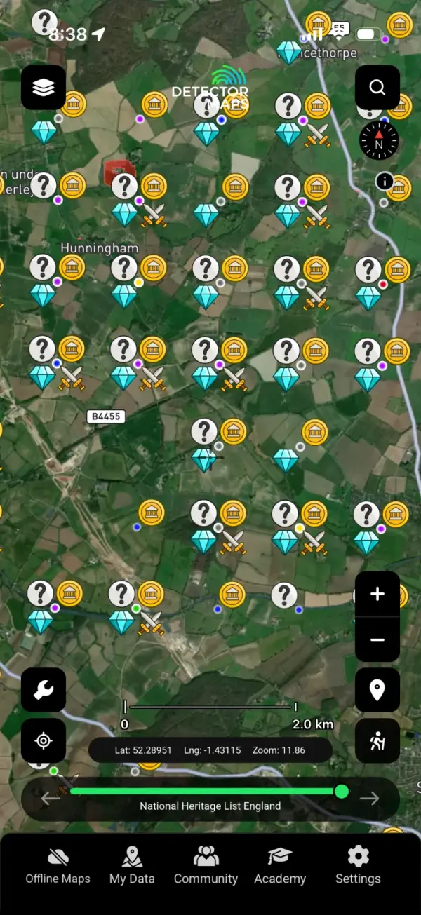
PAS Historic Finds
Plots objects recorded with the Portable Antiquities Scheme (PAS / British Museum), so you can see where coins and relics have genuinely been logged across England and judge a field's research potential.
Roman Heatmap
Shows the density of recorded Roman-period finds, helping you spot the corridors of Roman activity worth researching for permissions rather than guessing.
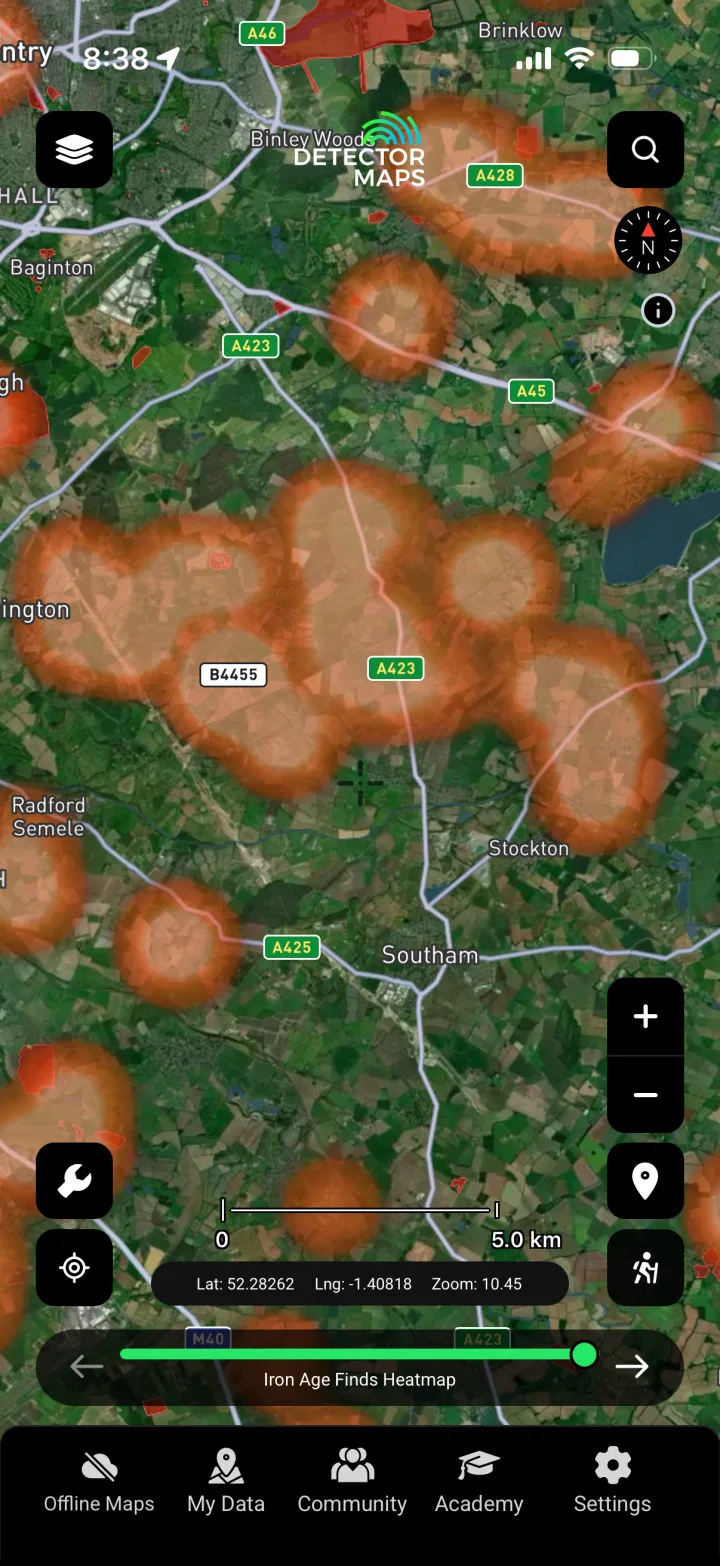
Iron Age Heatmap
Maps where Iron Age finds cluster, pointing you toward the pre-Roman landscape of settlement and trade that often produces early coinage and metalwork.

Bronze Age Heatmap
Highlights concentrations of recorded Bronze Age finds, useful for understanding the deep prehistory of an area and where hoards and tools have surfaced before.
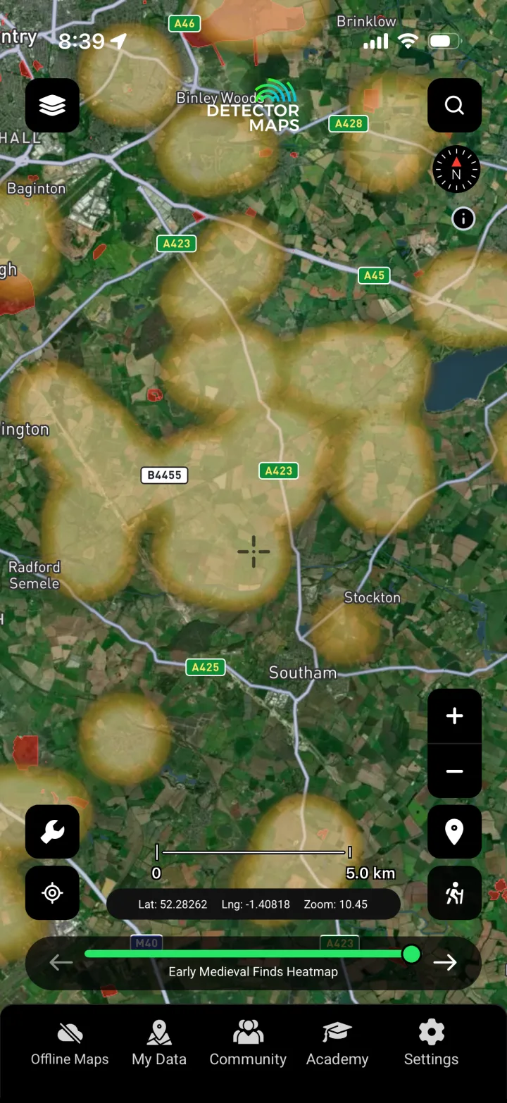
Early Medieval Heatmap
Reveals where early medieval (Anglo-Saxon and Viking-age) finds have been recorded, narrowing your research toward the periods many detectorists most want to study.
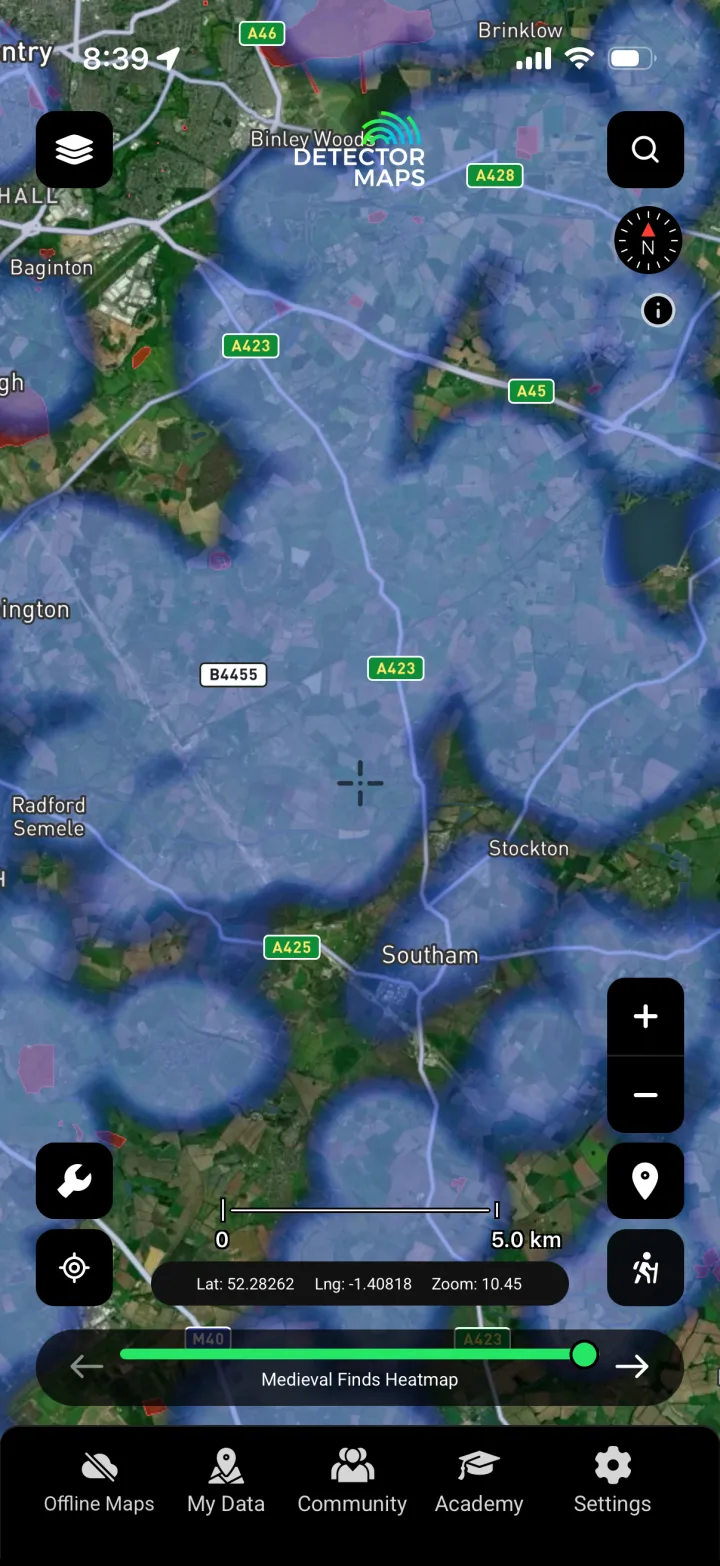
Medieval Finds
Plots recorded medieval objects — coins, seals, dress fittings and more — so you can connect a field to documented medieval activity and markets nearby.
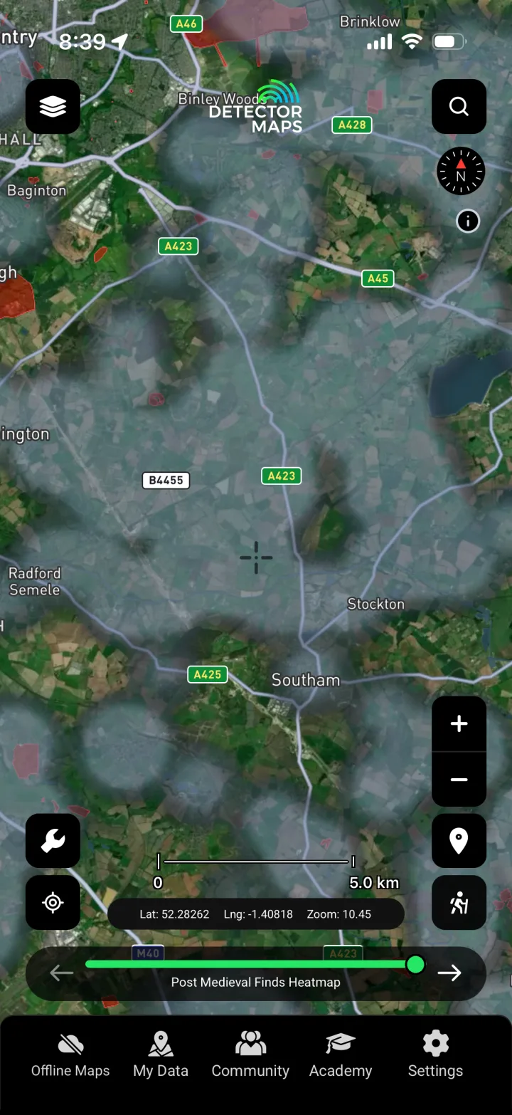
Post-Medieval Finds
Shows recorded post-medieval finds, the most common returns on many English permissions, helping you set realistic expectations for a site before you ask for access.
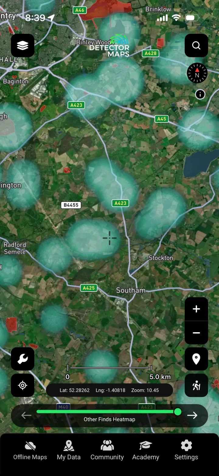
Other Periods
Surfaces recorded finds that fall outside the main period heatmaps, so nothing in the public record is hidden when you assess an area's history.
Ancient Places
Marks documented ancient sites and places of historic interest, giving context to nearby find clusters and the story of how a landscape was used.
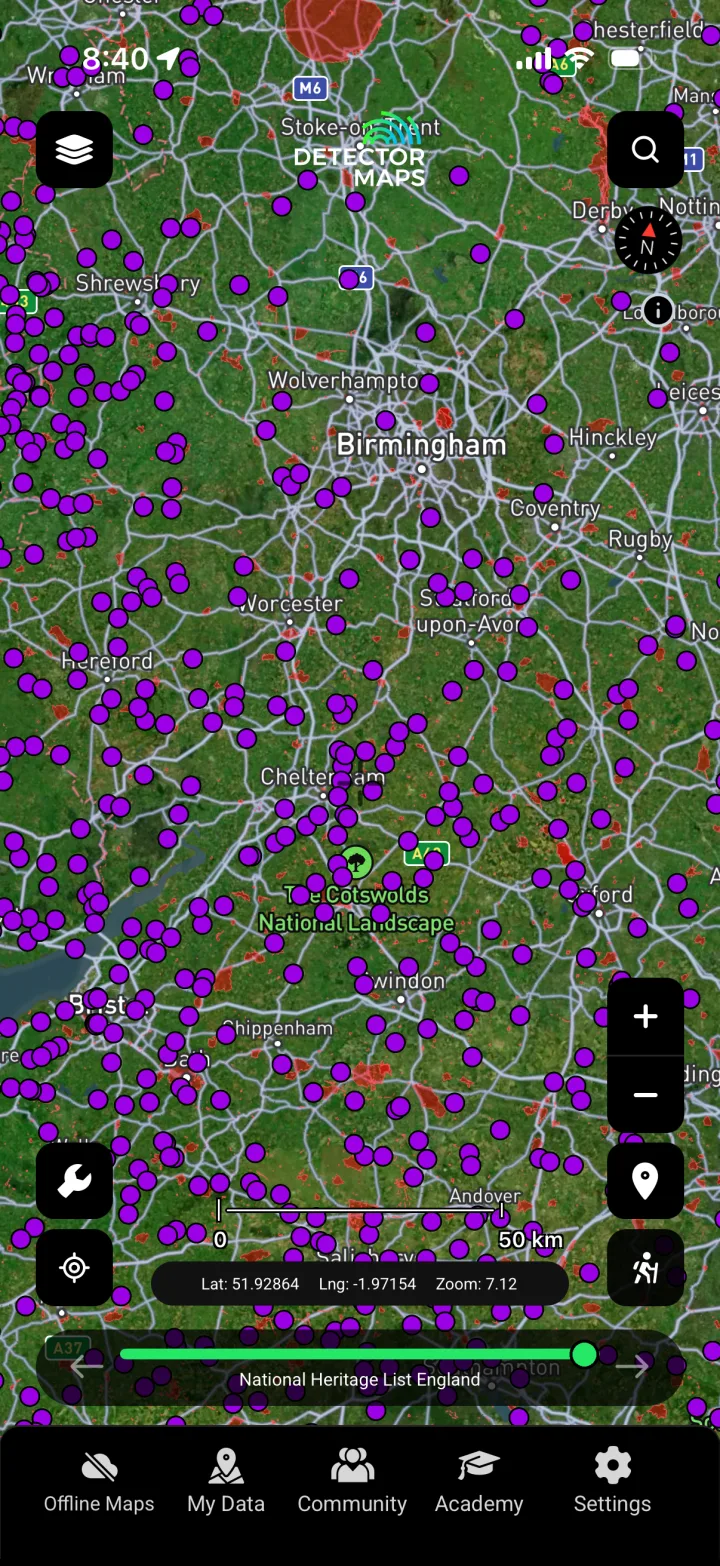
Hillforts
Locates recorded hillforts and their surrounds, anchoring your research in the prehistoric and Iron Age centres that shaped activity across the wider area.
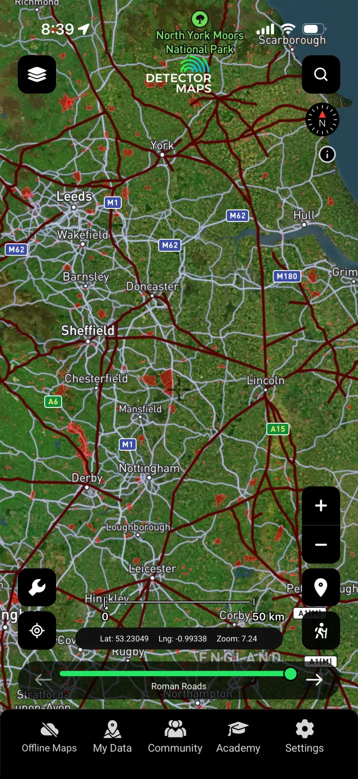
Roman Roads
Traces the known and projected Roman road network, a proven research line since travel, trade and loss tended to follow these routes.
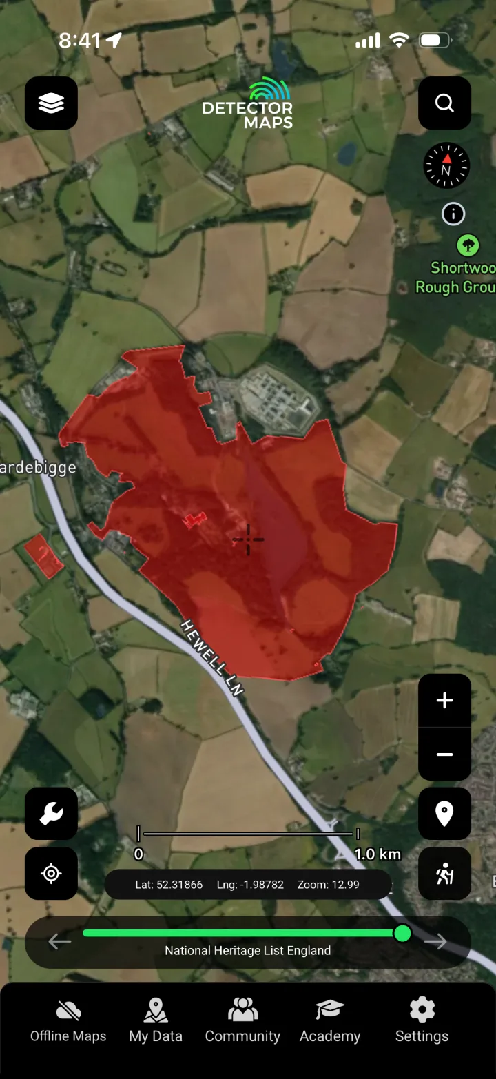
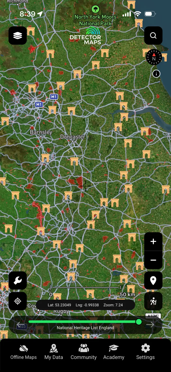
National Heritage List (NHLE)
Overlays Historic England's NHLE, including scheduled monuments and listed sites, so you know where you must NOT detect without consent and can keep your detecting legal and responsible.
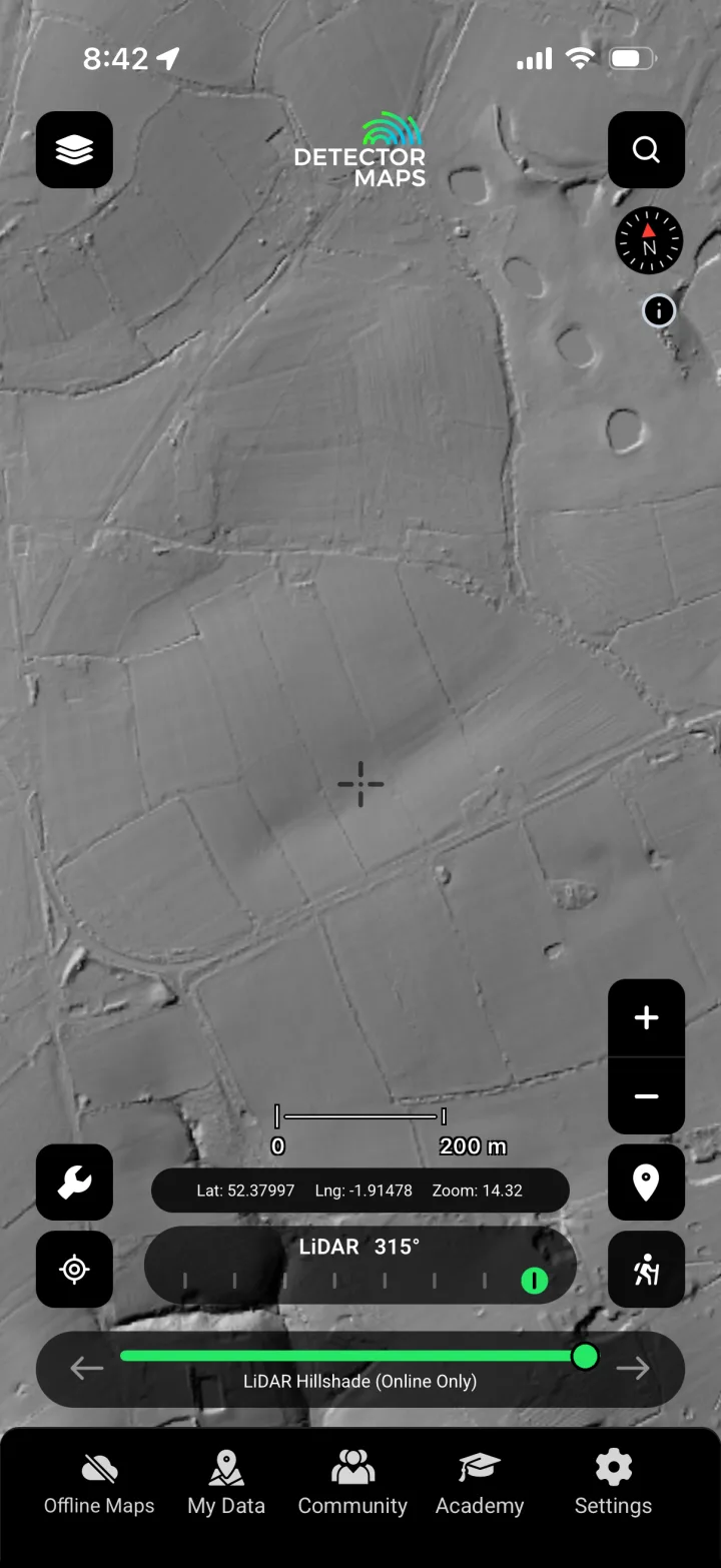
LiDAR — Multi-Angle Custom
Renders bare-earth LiDAR lit from several angles at once, exposing banks, ditches and earthworks that hint at former occupation worth researching.
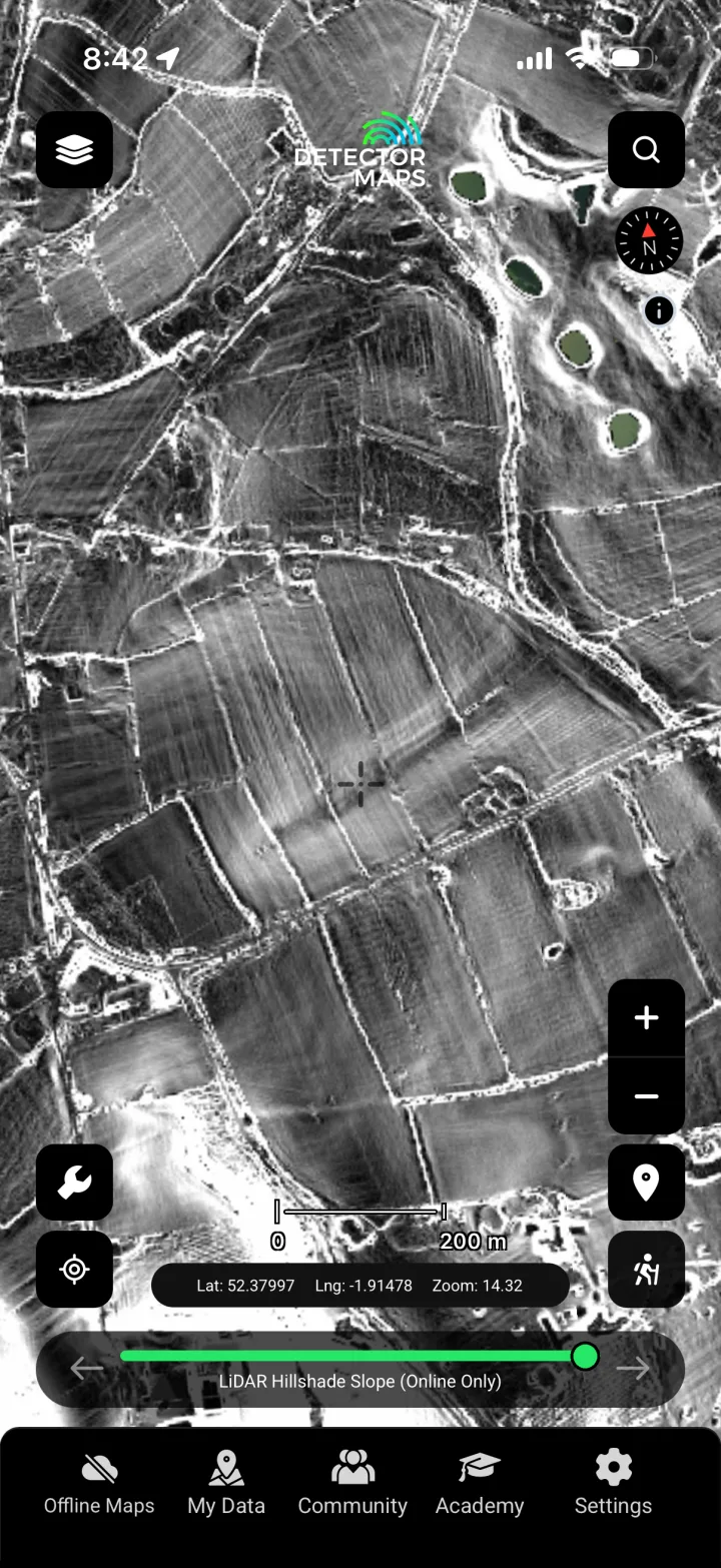
LiDAR Slope (7°)
Visualises subtle slope changes to reveal levelled boundaries, hollow ways and platforms that flat aerial photography misses, sharpening where you research.
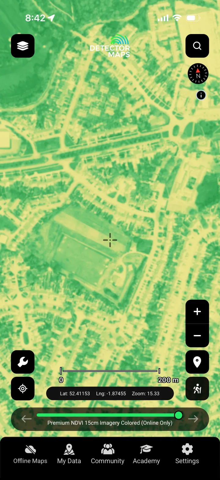
NDVI (Coloured)
Colours vegetation vigour from satellite data to highlight soil and moisture differences that can reveal buried features and former land use.
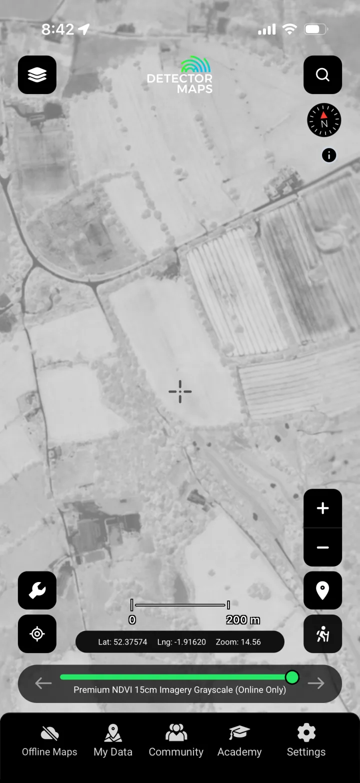
NDVI Crop Marks (DM-exclusive)
Our own processed crop-mark analysis from Sentinel imagery, surfacing parch and crop marks of buried features so you can research the most promising ground first.
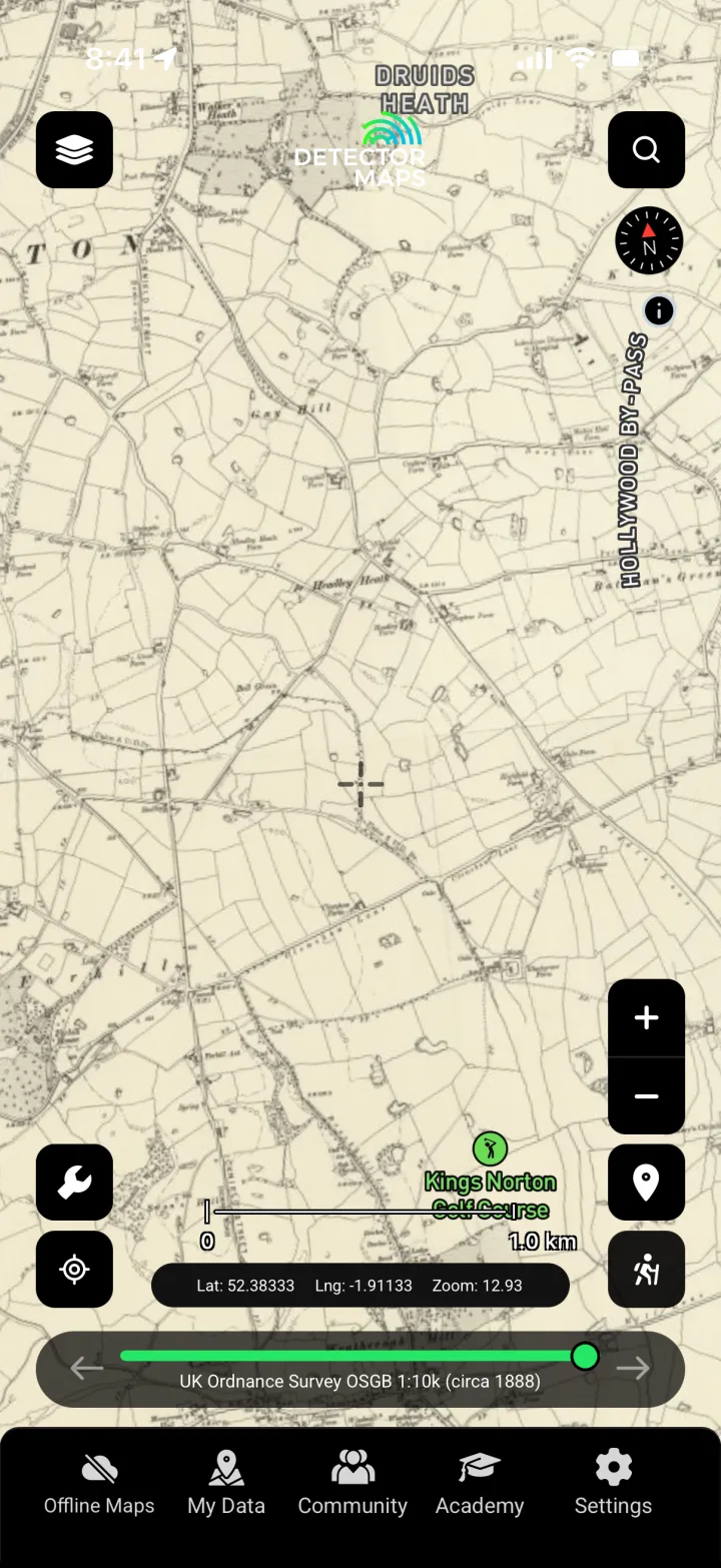
OS OSGB c.1888
Lays the c.1888 Ordnance Survey over today's fields, revealing lost tracks, buildings and field boundaries that point to where past activity concentrated.
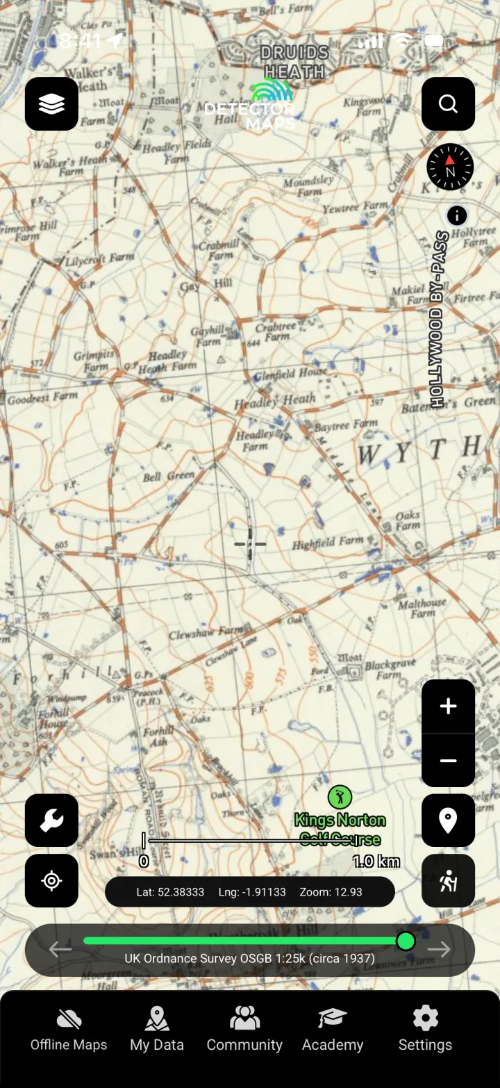
OS c.1937
Shows the landscape around 1937, letting you compare eras and spot features cleared or built over since, all useful context for planning research.
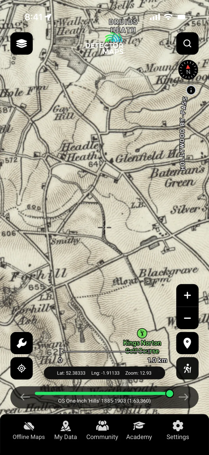
OS One Inch 'Hills' 1885–1903
The hill-shaded One Inch series from 1885–1903, giving a period read of terrain, settlement and routes to frame where finds may relate to old use.
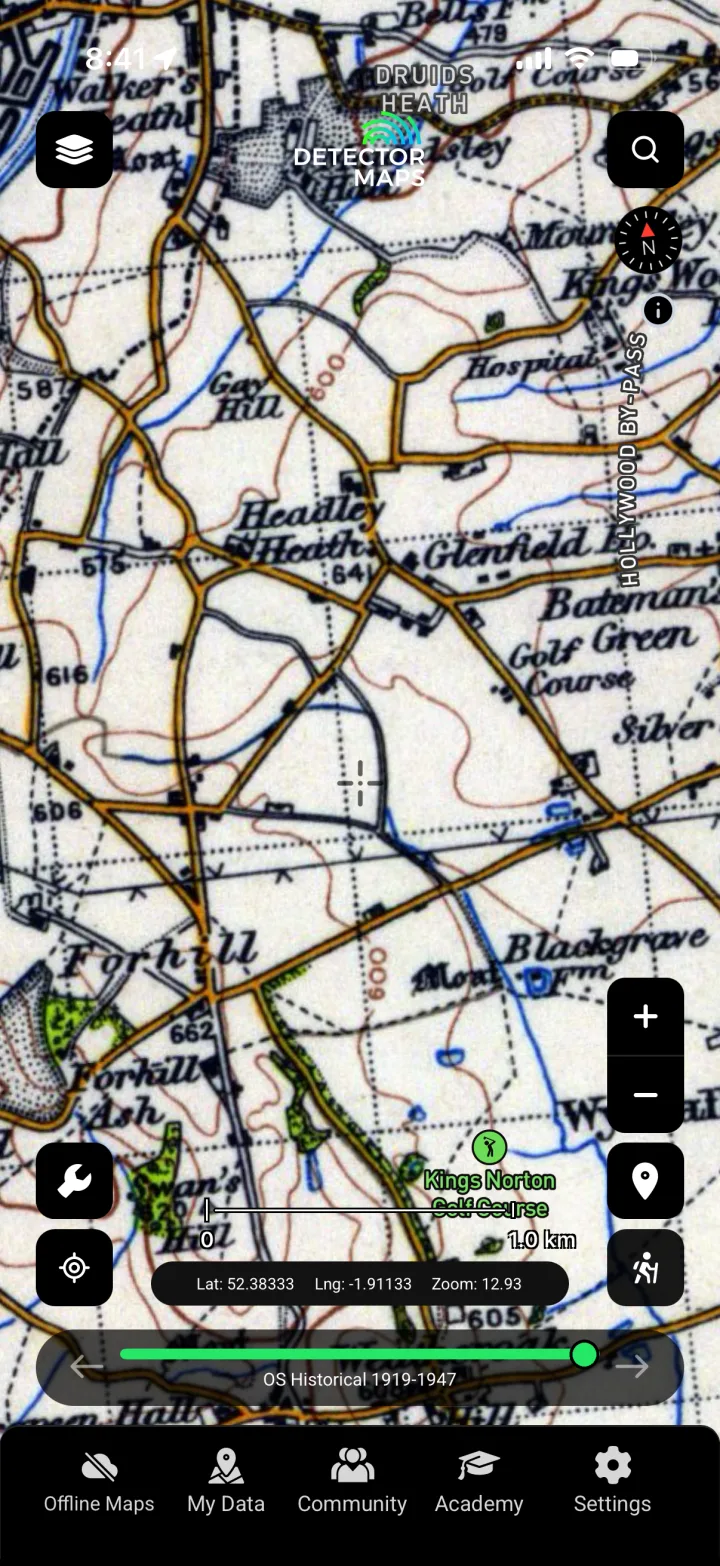
OS Historical 1919–1947
Early-to-mid 20th-century OS mapping for tracing how a site changed across the World War years, helping you separate modern disturbance from historic ground.

GB1900 Historic Place Names
Maps historic place and field names from the GB1900 project, where names like 'Chapel Field' or 'Castle Close' can hint at the documented history of a parcel.
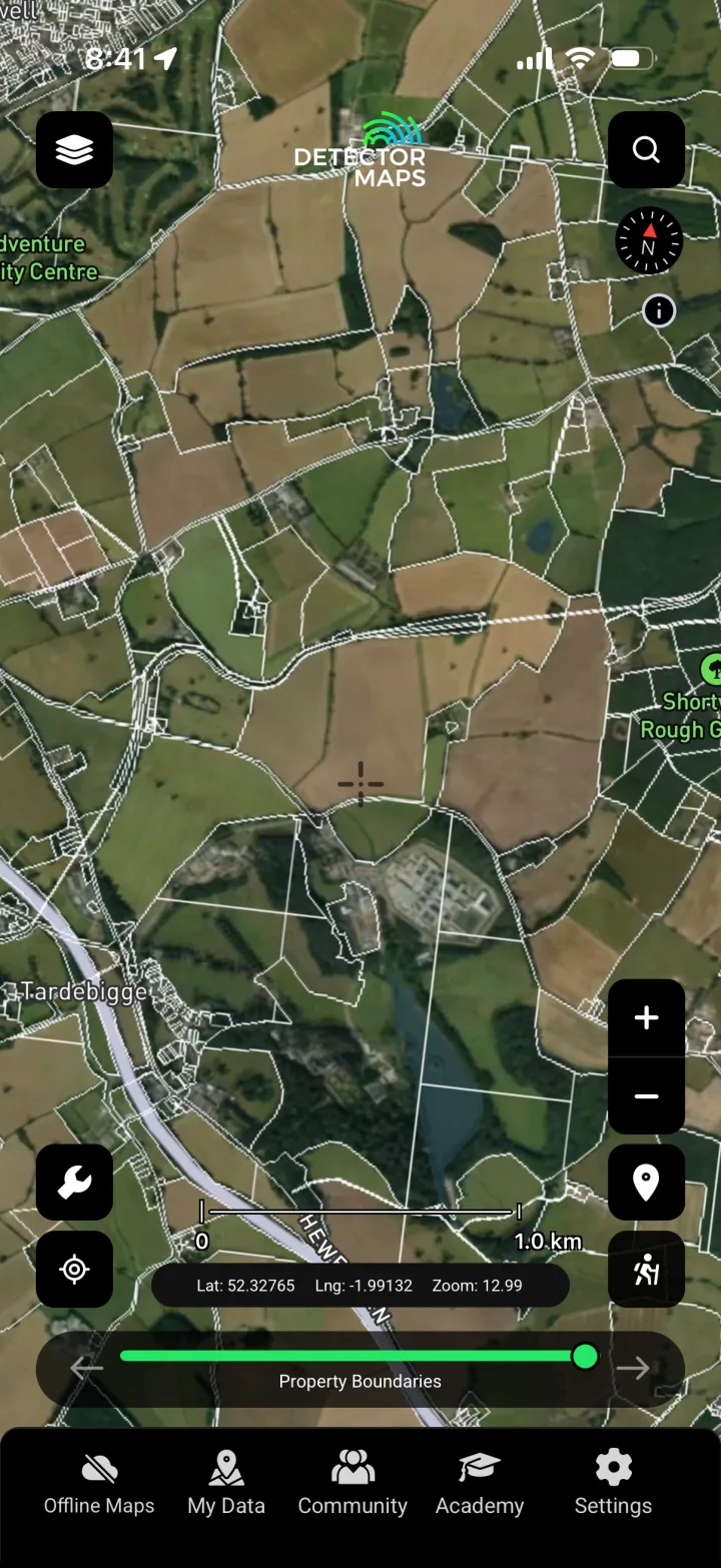
Property Boundaries
Shows parcel boundaries so you can identify the right landowner and target your permission requests precisely — remembering that access always requires their consent.
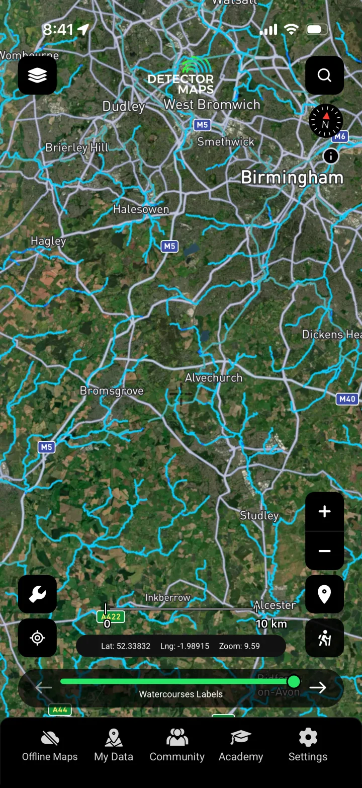
Watercourses
Maps rivers, streams and old water lines, long-standing focuses for settlement, crossings and loss that frequently shape where finds are recorded.
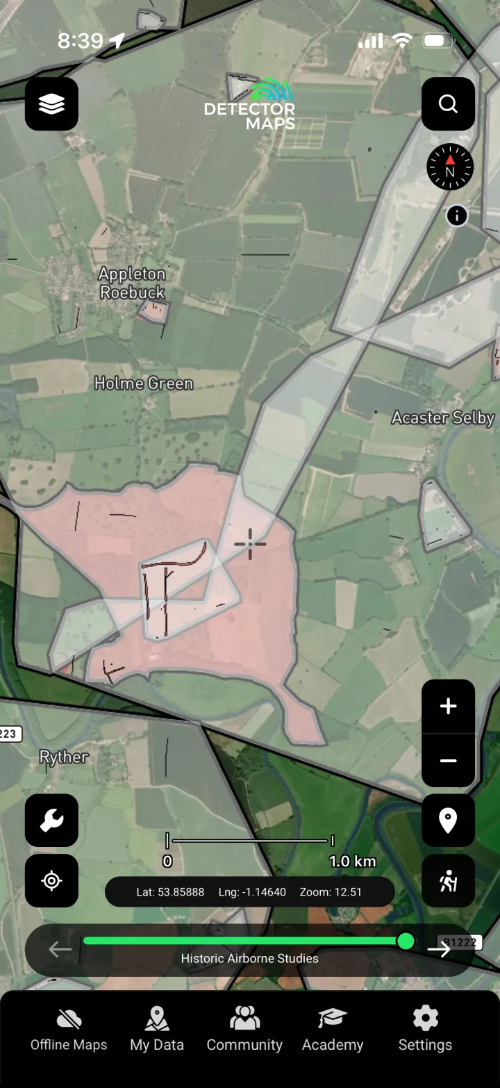
Historic Airborne Studies
Brings in historic aerial survey to reveal cropmarks and earthworks captured from the air, adding another evidence layer to your desk research before you visit.
Know the law. Know where you can't go.
In England, "treasure" is defined and governed by the Treasure Act 1996: if you find an item that may qualify as treasure, you are legally required to report it to the local coroner, normally within 14 days of the find or of realising it might be treasure. Most non-treasure finds are not legally reportable but should be recorded voluntarily with the Portable Antiquities Scheme (PAS) through your local Finds Liaison Officer, which is what builds the public record this app draws on. Detecting on a scheduled monument is illegal without consent from Historic England, and you must always have the landowner's permission before detecting on any land. Detector Maps is a research tool, not legal advice — follow the Code of Practice for Responsible Metal Detecting and use the NHLE layer to know where you must not detect.
England: your questions, answered.
Does Detector Maps show where I'll find coins or treasure in England?
No — and no tool honestly can. It shows where coins and relics have actually been recorded with the Portable Antiquities Scheme, layered with historic maps, LiDAR and crop-mark analysis, so you can research smarter and spend less time on low-potential fields. It's a research edge, never a promise of what's in the ground.
What do I have to do if I find something that might be treasure in England?
Under the Treasure Act 1996 you are legally required to report potential treasure to the local coroner, usually within 14 days. For other finds, record them voluntarily with the Portable Antiquities Scheme via your local Finds Liaison Officer. We surface the law and the NHLE restrictions, but you are responsible for reporting and for following the Code of Practice for Responsible Metal Detecting.
How do I know where I'm not allowed to detect?
Turn on the National Heritage List (NHLE) layer, which shows Historic England's scheduled monuments and listed sites — detecting on a scheduled monument is illegal without consent. And remember the first rule everywhere in England: you must have the landowner's permission before you detect, even on land that looks open. Use the property boundary layer to identify who to ask.
Research smarter. Cover more ground.
Start free for 3 days on any yearly plan — card required, nothing charged until the trial ends.