
Start free trial

Start free for 3 days on any yearly plan — nothing charged until the trial ends.

Open the map
Gold prospecting maps for Australia

Find gold
near you.

150 years of goldfield history, in your pocket, even offline.

Start free for 3 days on any yearly plan — nothing charged until the trial ends.

4.7/5 · 1,548 ratings10,000+ prospectors300,000+ exploration reports
Already a subscriber? Open the map →
↓

1-metre

LiDAR that pulls old diggings out from under the bush — VIC, NSW, QLD + TAS

By 6am

Every tenement re-checked weekdays — know before you drive

10M+

Soil, stream and rock-chip assays from the state surveys

100yr+

Shafts, alluvials and reefs the old-timers already worked

From the community

Real prospectors. Real finds.

Logged in the Detector Maps community feed.

Gold find photo shared in the Detector Maps community feed
DMDetector Maps community
Shared in the finds feed
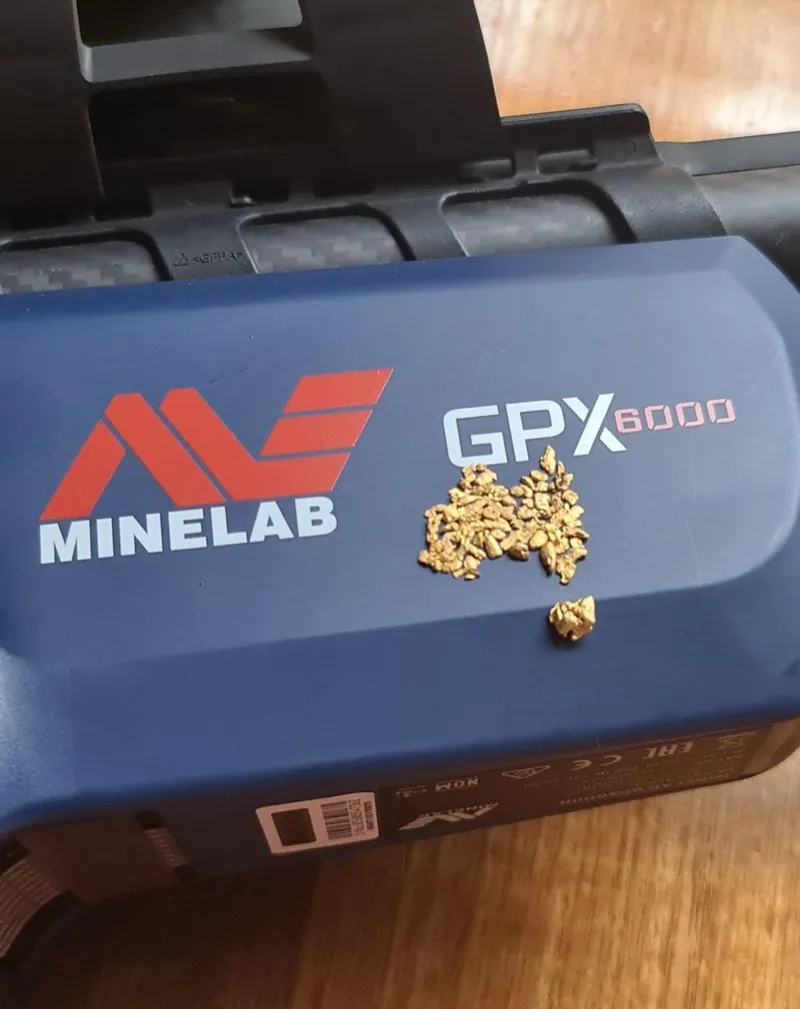
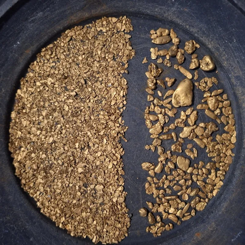
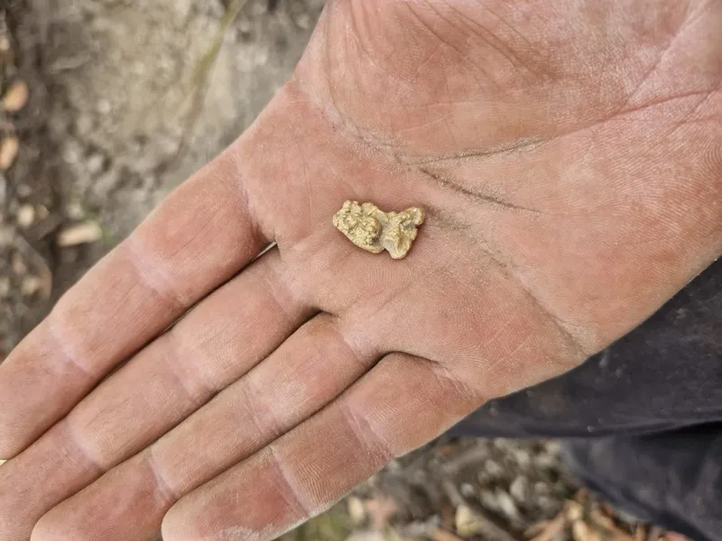
Beginners luck! Digging, raking, sieving and detecting about 2m from this for a week.
5.4 oz
KKeno
Australia · May 2026
Gold find photo shared in the Detector Maps community feed
DMDetector Maps community
Shared in the finds feed
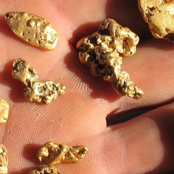
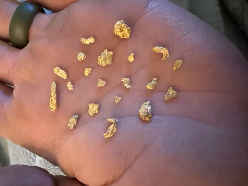
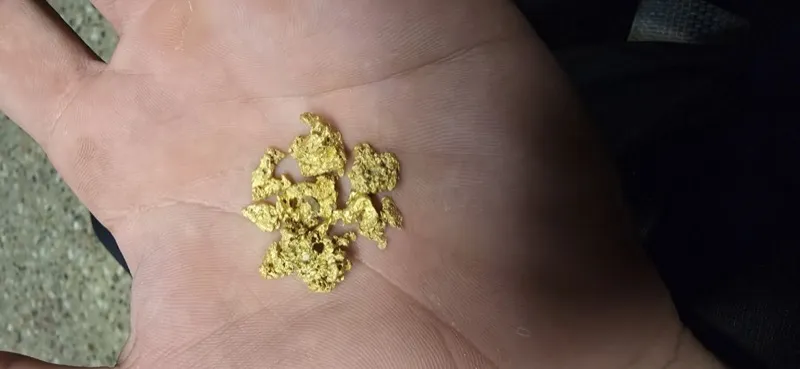
Some small Yuba placer and lead specs, small piece of broken jewelry also maybe?
OBOutwardbeast
Yuba, CA · May 2026
Gold find photo shared in the Detector Maps community feed
DMDetector Maps community
Shared in the finds feed
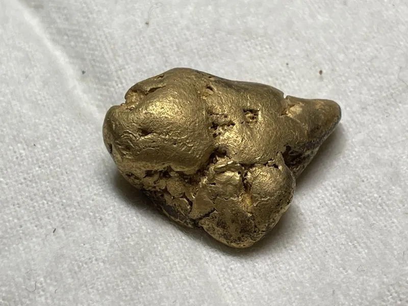
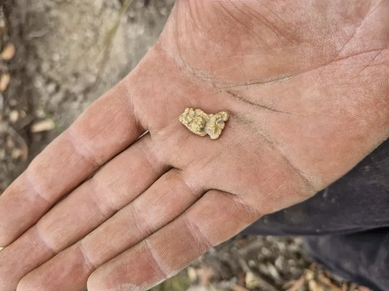
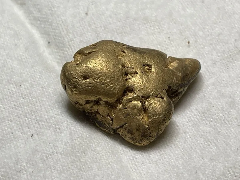
A lovely 3.6g scottish gold nugget found sniping last year.
3.6g
EPEnglish prospector
Scotland, UK · 2025
Gold find photo shared in the Detector Maps community feed
DMDetector Maps community
Shared in the finds feed
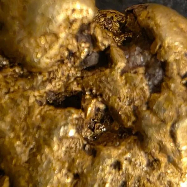
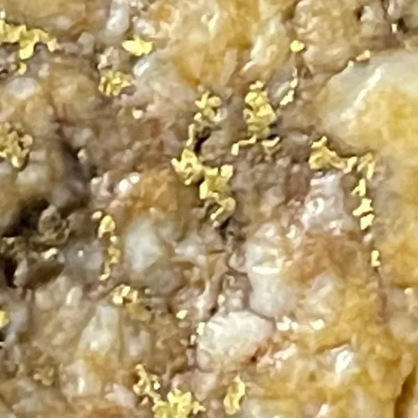
Crushed up some quartz rocks detecting with the GM2000.
MOMariposa Outlaw Mining co
California Motherlode · May 2026
Gold find photo shared in the Detector Maps community feed
DMDetector Maps community
Shared in the finds feed
This morning's success. Over 22 grams found since the start of March on weekends.
22g+
WVWvhillbilly
United States · Mar 2026
Five questions, one map

Five answers before you dig

Live map — WA gold data
Has gold been found here?

Find the diggings the old-timers missed.

Recorded gold occurrences and historic workings from the state geological surveys — geo-referenced onto the map where the ground actually is, right across Australia’s goldfields.

150yr+ — Australia’s recorded gold
Can I dig here?

Check the tenement before you head bush.

Live and pending mineral tenements from each state’s register — so you know whose ground you’re standing on before you drive. A Miner’s Right (or state equivalent) is mandatory.

Every state — live & pending tenements
Is it mineralised?

Dig where the data says gold.

Gold prospectivity, drilling, geochemistry and geophysics — the exploration data that points to gold, so you can see where it’s most likely before you drive an hour.

Exploration data — prospectivity & geochem
Where do I look?

Read the rocks that host the gold.

Seamless state-survey geology — the host rocks, contacts and structures that control where gold sits.

State surveys — surface & bedrock geology
Walk the old-timers’ ground

Start where the gold’s already come out.

Historic gold leases and abandoned workings — the ground the old-timers pegged and worked, mapped onto today’s terrain.

Historic leases & abandoned workings

How it works

Plan it Friday. Drive it Saturday. Swing it Sunday.

The full loop from couch to find — one subscription, three devices.

01 · Web

Plan

On the laptop.

Scout old workings on the LiDAR and check the ground is open. Save the area for offline and the whole trip is planned before you’ve left the house.

02 · Offline cached

Drive

On the way out.

Everything is already on your phone before you leave home — every base layer, every tenement, every shaft. No signal needed on the way out, and nothing to load when you arrive.

03 · iOS + Android

Swing

In the field.

Mark targets, log finds and drop waypoints as you go — photos, weights and GPS coordinates, encrypted on your device. The moment you’re back in coverage, everything syncs to the web automatically.

Join the Community.

Chat with like-minded prospectors and detectorists. Learn, engage, show off your finds — the most-liked find each month wins prizes from real prospecting brands.

Data Lineage

Real Data. Named Sources.

Tenements refresh weekdays 4–6am

Every layer in Detector Maps comes from a public dataset we can point to. We licence what we use, credit who we use, and update on a schedule you can actually depend on.

VICGSVVictoria · Melbourne
WAGSWAWestern Australia · Perth
QLDGSQQueensland · Brisbane
NSWMinViewNSW DPI Mineral Resources · Sydney
TASMRTMineral Resources Tasmania · Hobart
NTNTGSNorthern Territory Geological Survey · Darwin
SADEM-SAEnergy and Mining SA · Adelaide
VICGSVVictoria · Melbourne
WAGSWAWestern Australia · Perth
QLDGSQQueensland · Brisbane
NSWMinViewNSW DPI Mineral Resources · Sydney
TASMRTMineral Resources Tasmania · Hobart
NTNTGSNorthern Territory Geological Survey · Darwin
SADEM-SAEnergy and Mining SA · Adelaide
VICGSVVictoria · Melbourne
WAGSWAWestern Australia · Perth
QLDGSQQueensland · Brisbane
NSWMinViewNSW DPI Mineral Resources · Sydney
TASMRTMineral Resources Tasmania · Hobart
NTNTGSNorthern Territory Geological Survey · Darwin
SADEM-SAEnergy and Mining SA · Adelaide

Every layer comes from a public dataset. Tenements refresh every weekday between 4 and 6am local time. Historic workings and geochemistry refresh as each survey publishes.

Gold maps by state

Your state's already on the map.

Every state and territory page shows exactly which layers you get, what the ground looks like and where the goldfields are — before you spend a cent.

Pro — $249/yr

Professional-grade data. AI on every report.

For the ones who treat it like a job — peg-hunters and serious prospectors. Three tools the base layers don’t have.

app.detectormaps.com

Pro tool 01

Search 300,000+ exploration reports

Search any keyword — 'nuggety quartz', a company, a commodity — and the map lights up with a heatmap of every mention. Tap a hotspot, open the reports underneath, and get the AI summary instead of reading 400 pages.

app.detectormaps.com

Pro tool 02

Pick an area. Get the intelligence report.

Draw a polygon or drop a radius, and the AI reads every exploration report ever filed on that ground — decades of dense government and company records — and reports back in plain English.

Prospectors get the bottom line: recorded nuggets and coarse gold, the old workings, how detectable the ground really is, plus access and what's allowed. Geologists get the deep read: host rocks, drill intercepts, soil anomalies, ranked targets and what to drill next.

And because it's reading the actual record, it's honest — it'll tell you straight when an area has no recorded nuggets. Every source is cited, and where a report holds a useful figure — an old map, a drill section, a sketch of the workings — it pulls the image in too.

Area reports run on AI credits, purchased in-app — you only pay for the areas you scan.

Detector Maps app

Pro tool 03

Know the moment ground drops

We watch the tenement registers daily. New applications, expiries, full and partial relinquishments — with the freed-up area mapped. A daily email digest plus a push the moment it happens, each alert with its own map.

Tenement Activity / Claim Activity is available in all regions except the UK.

Pricing

One subscription. Every base layer. Every state.

Pay monthly or save on yearly — the 3-day free trial lives on the yearly plans. LiDAR hillshade is the only paid add-on, priced per state.

Start free for 3 days on any yearly plan — every base layer unlocked, nothing charged until the trial ends.

Join 10,000+ Prospectors

Start free for 3 days on any yearly plan — nothing charged until the trial ends.

Most popular

Explorer

Everything most prospectors need.

$9.99/ month AUD
3-day free trial
$99/ year AUD

$8.25/mo — billed yearly · 2 months free

About 27c a day.

  • Gold occurrences, tenements, geology, historic workings, geochem
  • Land access + public boundaries
  • Offline maps + breadcrumb tracking
  • Georeference your own maps — 1 GB uploads
  • Access unlimited community maps
  • Encrypted waypoint sync across devices
  • Community feed + competition
  • Priority email support
See everything included
Get Explorer

billed monthly — cancel anytime

Start free trial

3-day trial, then $99/yr — cancel anytime

Pro

Professional-grade data. AI on every report.

$34.99/ month AUD
3-day free trial
$249/ year AUD

$20.75/mo — billed yearly · save 40% vs monthly

  • Everything in Explorer
  • All mineral occurrences
  • Search 300,000+ exploration reports by keyword, company or commodity
  • Instant AI summaries — skip the 400-page PDFs
  • 5 GB georeferencer uploads
  • Daily tenement alerts
See everything included
Get Pro

billed monthly — cancel anytime

Start free trial

3-day trial, then $249/yr — cancel anytime

Take it with you

The map in your pocket. iOS and Android, fully offline.

Web is for planning. The phone is for swinging. Same subscription, same data, same waypoints, three devices. Start the 3-day trial on the web, then sign in on the app.

  • Encrypted waypoint sync across web, iOS, Android
  • Offline maps pre-downloaded on Wi-Fi before you leave
  • Breadcrumb trail tracking so you can retrace your swing

App reviews

Overall rating 4.7 / 5 (1,548 ratings across the App Store and Google Play)

★★★★★

Brent Shannon — Aussie Gold Hunters

Brent Shannon · 1 Mar 2026 · App Store

I found that Detector Maps is an essential tool for the prospector and miner alike, its super easy to use and offers great prospecting and mining mapping and information Australia wide, the LiDAR function layer where applicable is a game changer.
Read more reviews →
★★★★★

Don’t go detecting without it

nanny bish · 7 Jan 2026 · App Store

I use Detector Maps every time I go out prospecting. Puts me in the right spot every time. Worth every cent.
Read more reviews →
★★★★★

Game changer for anyone

Anlopatravels · 26 May 2026 · App Store

I am so impressed with the simplicity of detector maps. Most platforms make things complicated and difficult to navigate. D maps are amazingly simple to understand. With regular updates and extra features constantly added it really makes the fee very reasonable.
Read more reviews →
As seen on YouTube

The prospecting community made up their own minds.

Three independent creators tested it in the field. We didn’t pay for any of these — we just showed them the app.

Field test

This Gold Prospecting Tool Changes EVERYTHING

OzGeology
First impressions

NEW LiDAR Imaging For Metal Detecting Gold, Coins & Relics!

DigItDetecting
Walkthrough

LiDAR Mapping Is Revolutionising Gold Hunting!

Vogus Prospecting

You’ve seen their field tests. Run your own.

Start free for 3 days on any yearly plan — nothing charged until the trial ends.

FAQ

The questions we get most.

If yours isn’t here, email [email protected] — we read every one.

Start free for 3 days on any yearly plan — nothing charged until the trial ends.

No. Pre-download the area on Wi-Fi and the base layers — tenements, geology, historic workings, geochem — live on your phone. The GPS still works without coverage. Cell only matters for syncing waypoints back to the web when you’re done. Offline LiDAR caching is coming soon.

Yes. The 3-day trial on the yearly Explorer and Pro plans takes a card up front, but nothing charges until the trial ends — cancel before then and you pay nothing. Cancelling is two taps: Settings → Subscription → Cancel.

The sources are public — we name every one of them in the Data Lineage section and link back to them in-app. What you’re paying for is the work: seven states merged into one map, tenements re-synced every weekday morning, historic plans georeferenced so they sit where the ground actually is, everything tiled for offline, and (on Pro) 300,000+ exploration reports made searchable. You could absolutely build this yourself. It took us years.

No app can promise that. What we can promise: the same data the geologists who run government surveys use, served on a map you can read in the field. If you swing in the wrong country, no detector will help. We get you to better country faster.

Mining tenements aren’t public land. We show them so you know where not to swing. The land-access layer marks public reserves, fossicking areas and crown land where small-scale prospecting is legal under a Miner’s Right or fossicking permit. Rules vary by state — we link to the relevant government page in-app.

All of them. We’re not a detector app — we don’t connect to your coil. We give you the map. Subscribers run it next to a Minelab GPX 6000, SDC 2300, Gold Monster 1000, Garrett Axiom, XP Deus II, Equinox 900 and everything in between.

Every weekday between 4 and 6am local time, state by state. New pegs, expiries, transfers, applications — all live by the time you wake up.

Explorer ($99/yr) is everything most prospectors need — tenements, geology, historic workings, geochem, offline maps, breadcrumb tracking, waypoint sync. Pro ($249/yr) adds the professional-grade layer: full-text search and on-demand AI summaries across 300,000+ exploration reports, plus daily tenement alerts. If you swing weekends, Explorer is plenty. If you’re peg-hunting leases or building exploration models, Pro pays for itself.

No. Most members prospect on the base layers — tenements, historic workings, geology, geochem — and plenty of gold comes up that way. LiDAR is a paid add-on, priced per state, and isn’t part of the free trial — add your state’s hillshade once it’s earned its keep. Tasmania’s LiDAR is free. Tasmania’s LiDAR is free permanently.

LiDAR is huge data — one square kilometre of 1-metre bare-earth is gigabytes. Hosting and serving it costs us per state per year. Pricing per state means you only pay for the country you actually swing in. Tasmania is free because the state government covers the hosting.

Yes — drop a pin, hit share, send the link. They can open it in the app or on the web. Your private patches stay private unless you share them.

From the app or the web — Settings → Subscription → Cancel. No phone call, no retention queue, no questions. Access stays live until the end of the period you’ve paid for.

We’ve spent a lot of time on this one. Offline mode + battery-saver GPS means a full Saturday in the field on a single charge for most modern phones. Bring a small power bank if you’re swinging dawn to dusk.

Support

Talk to a Real Person.

The Detector Maps support inbox is staffed by Matt and Tom — the two brothers who built it. Email [email protected] and you will get a reply from one of us, usually the same day. Business hours Monday to Friday, AEST.

Stop Guessing. Start Prospecting.

Every base layer unlocked from the first minute.

Start free for 3 days on any yearly plan — nothing charged until the trial ends.

Team Detector Maps

Join the Team.

A hand-picked roster of creators and dealers repping the map across AU, the USA, the UK, NZ and Canada. Backed, rewarded and featured. One spot is always open.

Claim your spot
By application only · Reviewed by our founders

