 Detector Maps
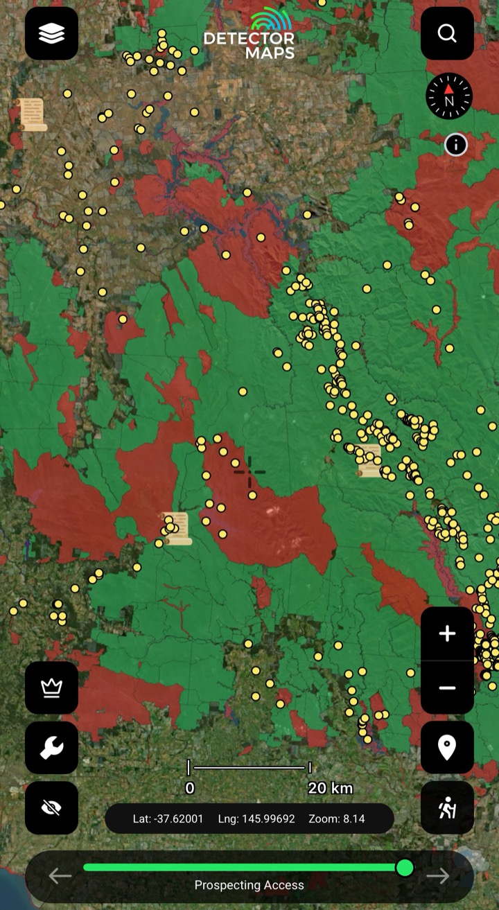
Prospecting Access
Areas where recreational prospecting is allowed and not allowed — a guide, not official, so always check official sources before heading out. Turn it on when planning to find new areas faster.
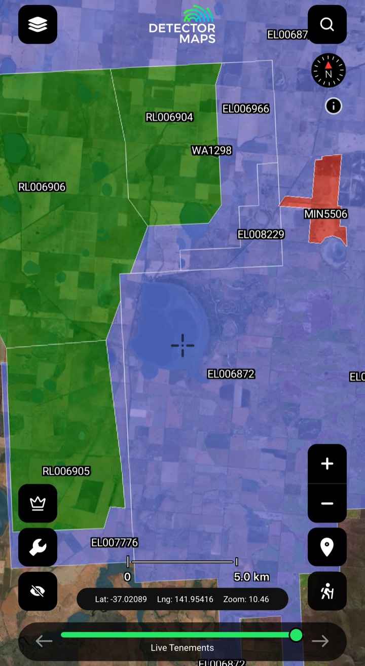
Mineral Tenements
Current exploration and mining titles. Always check this before you go, and follow the current rules for the ground you're on.
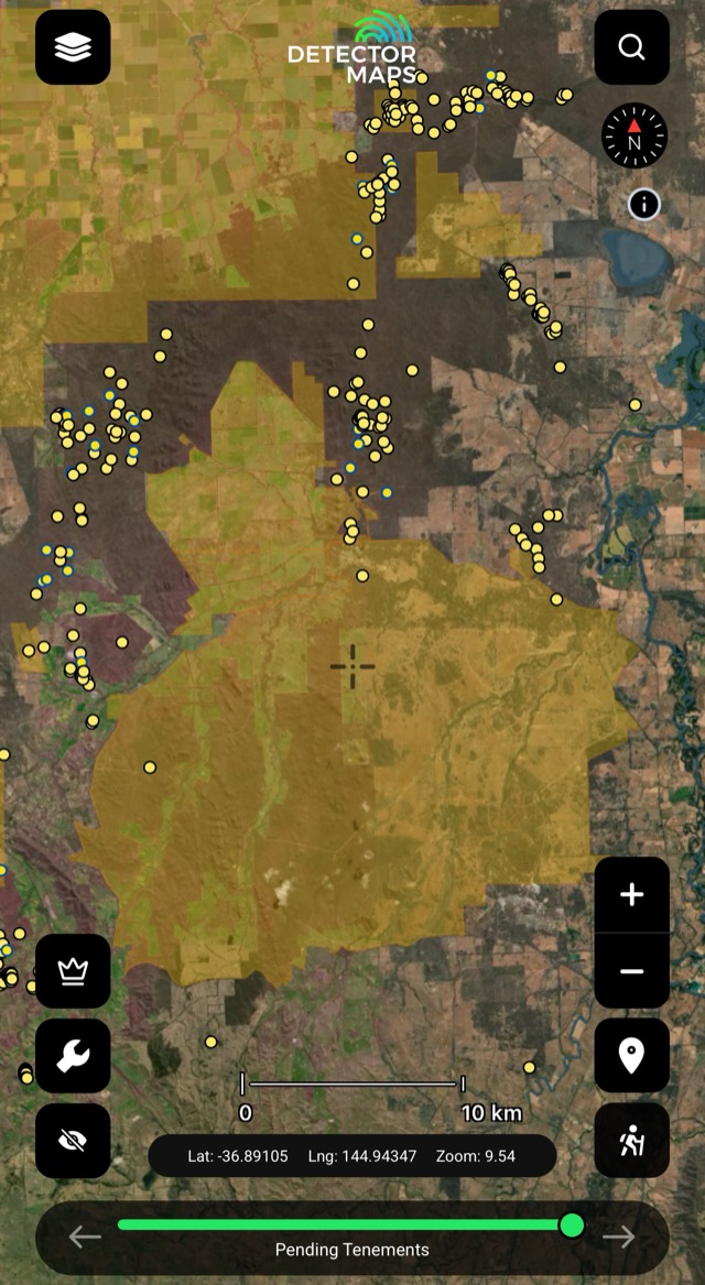
Pending Tenements
Applications lodged but not yet granted — status can change, so recheck before trips.
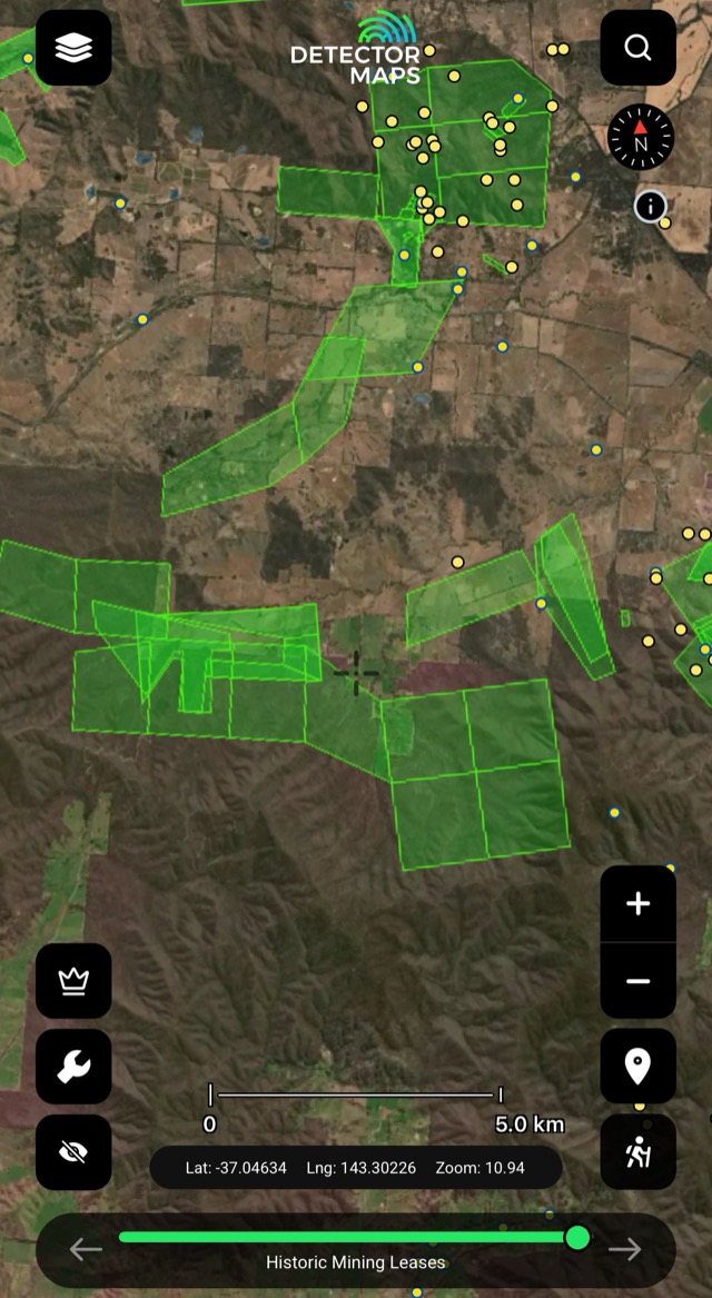
Expired Mining Licences (1860s–1958)
Historic footprints of mineral licences — areas worked in the past. Research the details; confirm modern access first.
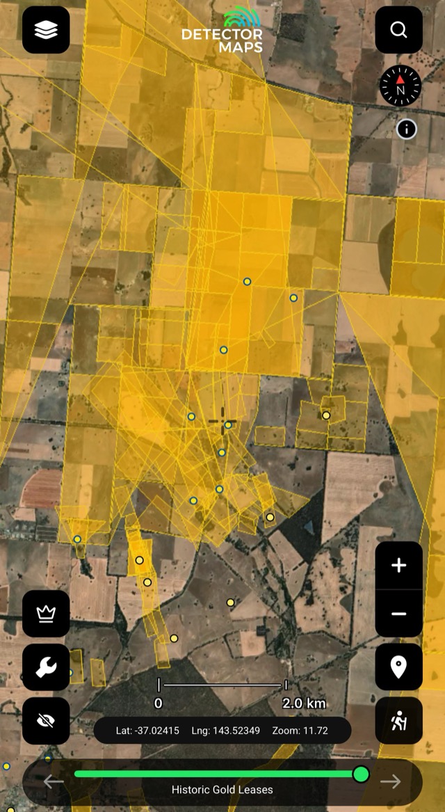
Historical Gold Leases
Historic gold lease footprints — leads to ground that was worked. Confirm access and restrictions before you go.
National Parks: many parks restrict prospecting — check the rules for each park, and if in doubt, don't prospect there. Prohibited streams are marked on the watercourses layer.
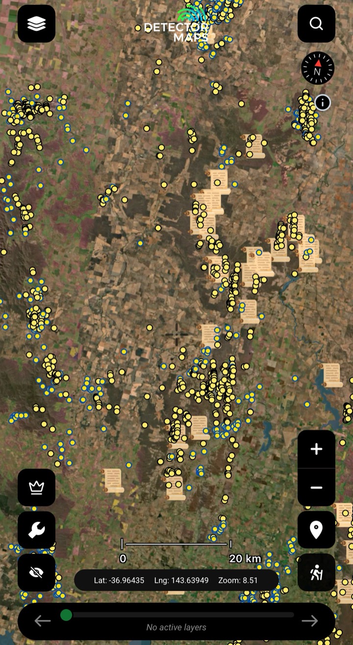
Historic Gold Occurrences & Nuggets
Official records of past gold finds, old mines and workings — plus reported larger nugget locations. Turn this on first to choose a general area, then stack geochemistry, geology and LiDAR to pick your targets.

Historic Mine Shafts
Old shafts and underground workings — confirms serious mining activity. Clues only: never approach or enter old shafts.

Shallow Alluvial Leads
Gold-bearing gravels within the first few metres. Follow the lead lines and use LiDAR to see if the old-timers missed any ground.
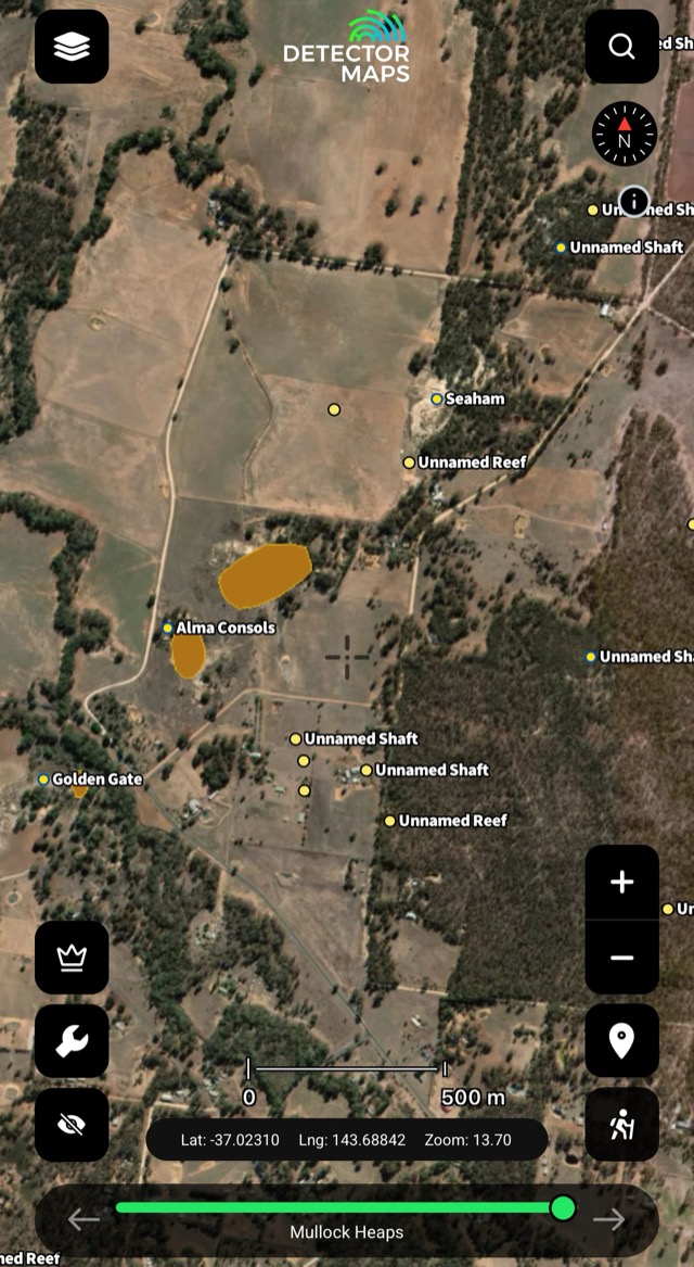
Mullock Heaps
Waste-rock piles near shafts and adits — surface clues to past production. Handle with caution around old workings.

Old Maps
Georeferenced historic maps over the modern map — see what the old-timers recorded, where they recorded it.

Soil Geochemistry
Gold in soil samples from exploration companies — look for trends that suggest gold nearby. Compare with geology for extra insight.
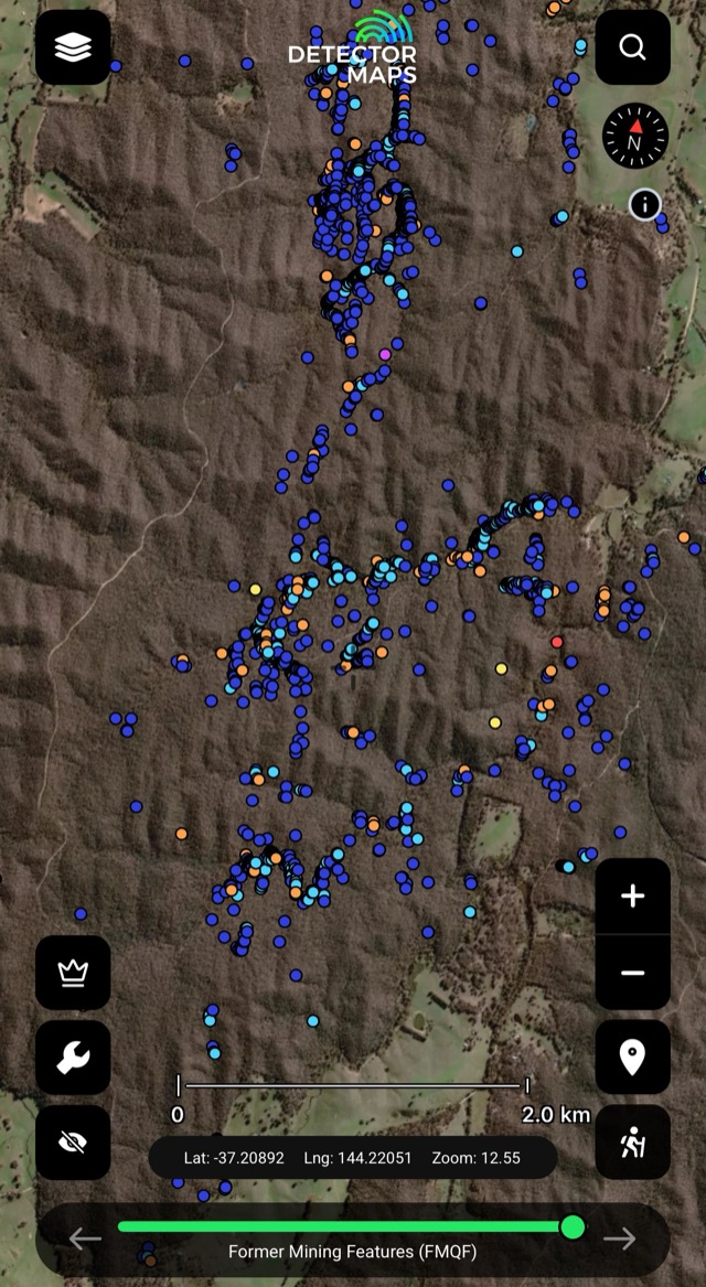
Mining Features
Mapped mine features across the goldfields — more surface evidence of where the work happened.
Old workings are clues, not places to enter. Keep a safe distance from shafts and unstable ground. Obey all signs.
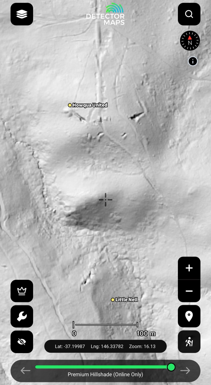
Premium LiDAR Hillshade
High-resolution LiDAR reveals subtle ground features — diggings, benches and old workings under the bush. Check the extents layer for coverage, then switch on Premium Hillshade for the fine detail. A $150/yr VIC add-on (not part of the free trial). See the LiDAR page →
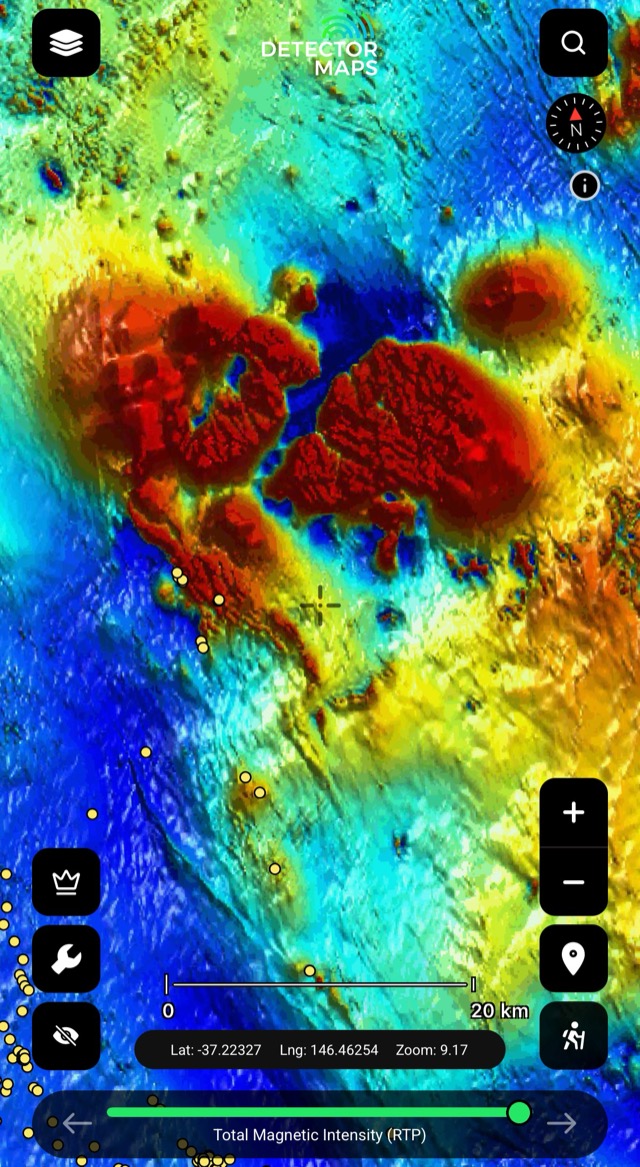
Magnetics (RTP)
Total magnetic intensity — the bedrock and its strike. Some rocks and magnetic features host gold.

Magnetics (1VD)
First vertical derivative — edges, breaks and lines in shallow magnetics. Compare with RTP and geology.
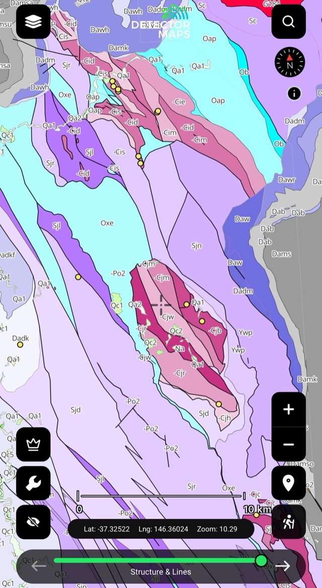
Seamless Geology (125k)
Continuous geology across the state without map-sheet breaks. Keep it on for context under your historic and geochem layers.
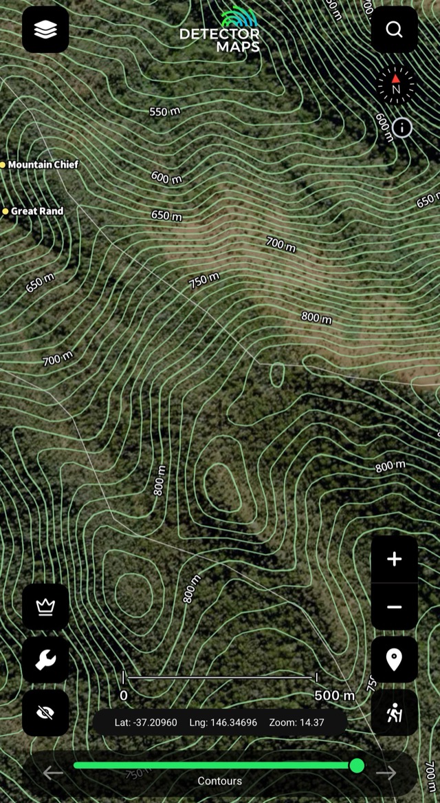
Contours & Topography
Lines of equal height — read the ground and plan access through rugged country. Look for gentle slope changes and flat steps.
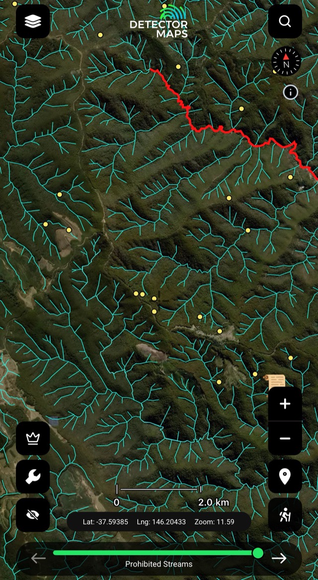
Watercourses & Prohibited Streams
Creeks, rivers and drainage lines — where water moves and gold may settle. Use with contours and hillshade; prohibited streams are marked.
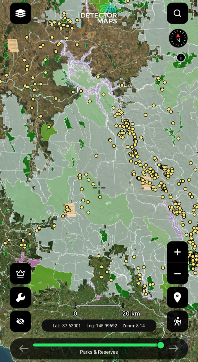
Parks & Reserves
Park boundaries and protected areas — many parks restrict prospecting. Check the rules for each park; if in doubt, don't.
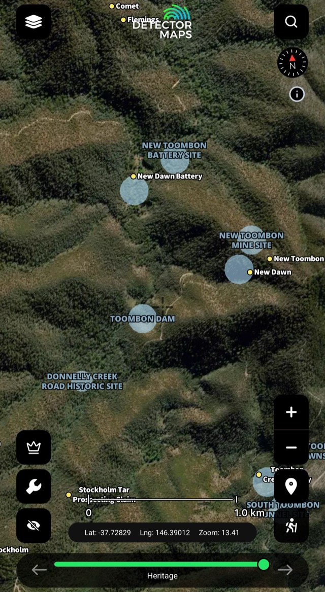
Heritage
Heritage places mapped so you can plan around them with respect.
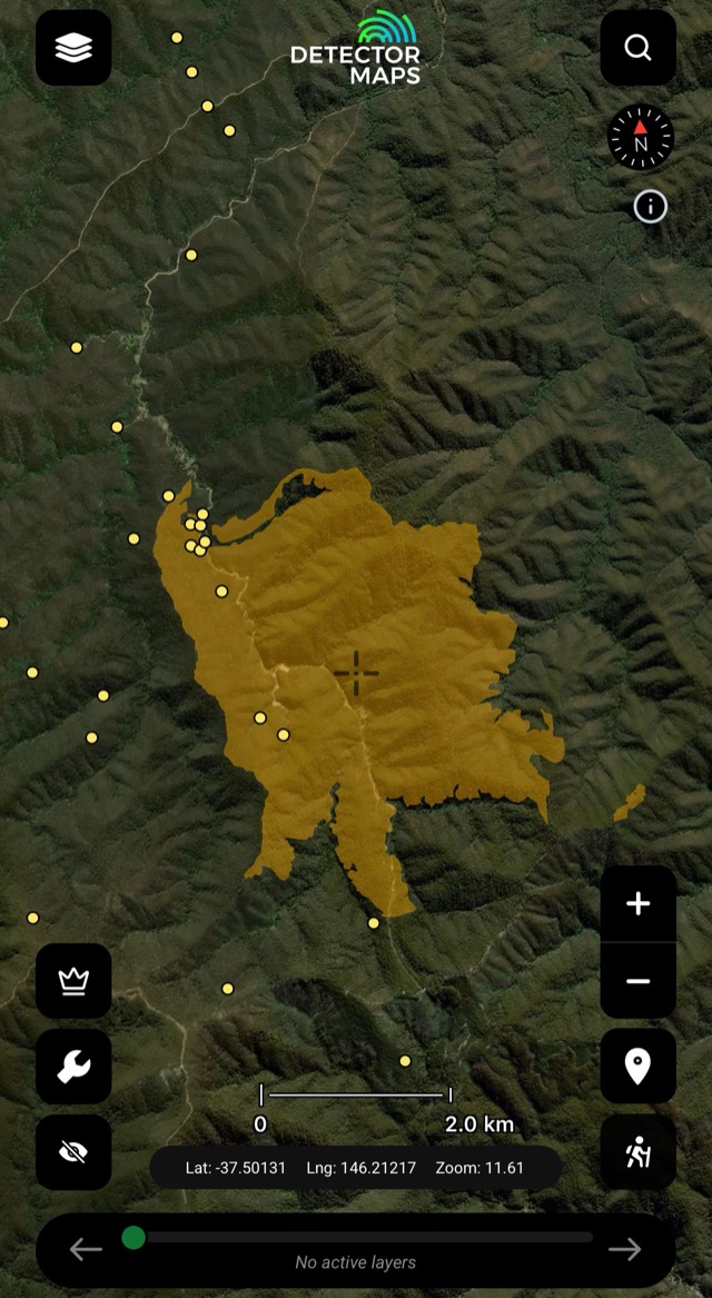
Fire Areas
Fire areas on the map — check conditions before you head out.
The access conversation happens at home, not at a locked gate. Rules vary by state — we link to the relevant government page in-app.


