 Detector Maps

Precious Stones Fields
South Australia's declared precious stones fields (e.g. Coober Pedy, Andamooka) — opal-mining areas under the Opal Mining Act 1995, mapped so you know they're there. These are opal, not gold: prospecting needs a Precious Stones Prospecting Permit and a registered claim, and you can't enter someone else's claim. Tap a field to read the rules before you go.
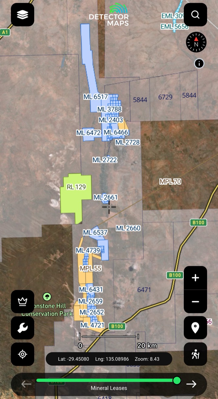
Mining Leases & Exploration Licences
Granted mining leases are usually not suitable for recreational fossicking — if one covers your spot, choose another area. Mineral or opal exploration licences can set limits or require permission: generally you won't be able to enter without seeking it.
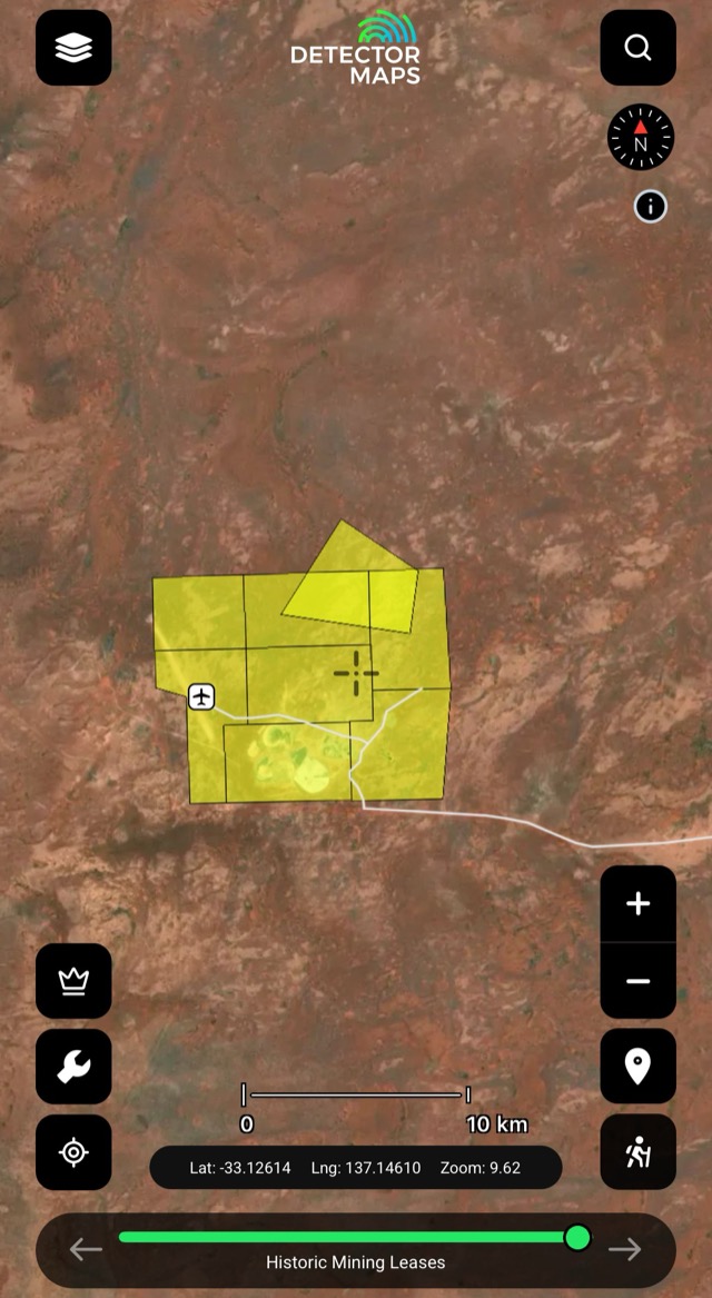
Historic Mining Leases
Historic lease footprints — areas worked in the past. Treat as leads; confirm modern access first.
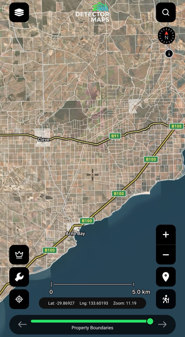
Property Boundaries
Parcel boundaries — private vs public at a glance. Private land needs the owner's permission.
Aboriginal Land: land and reserves with their own access rules — may require permissions before entry; if you can't meet the requirements, pick another area. National, Recreation and Conservation Parks: prospecting is often restricted or not allowed — do not enter.
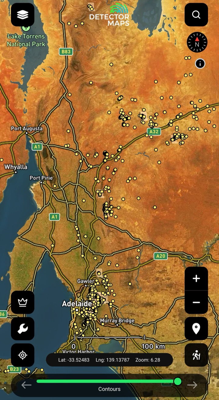
Historic Gold Occurrences & Nuggets
Official records of past gold finds, old mines and workings — plus reported nugget finds pulled from Trove newspaper archives. Turn this on first to choose a general area, then stack geochemistry and geology to pick your targets.
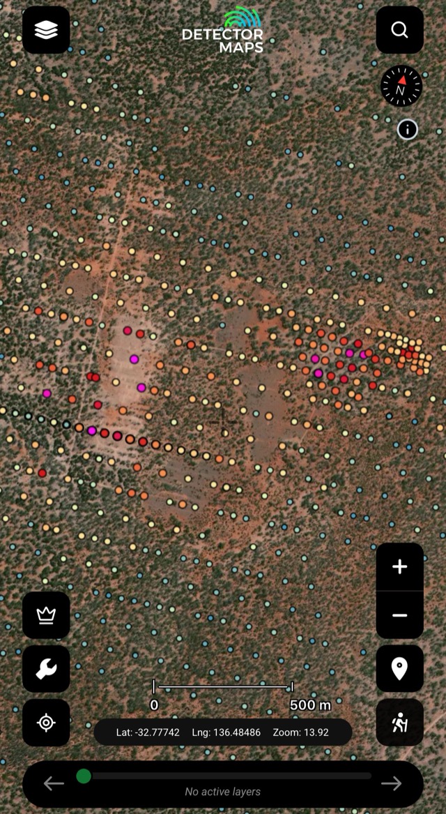
Soils
Gold concentrations in soil samples — look for trends that suggest gold nearby. Compare with geology and geophysics.
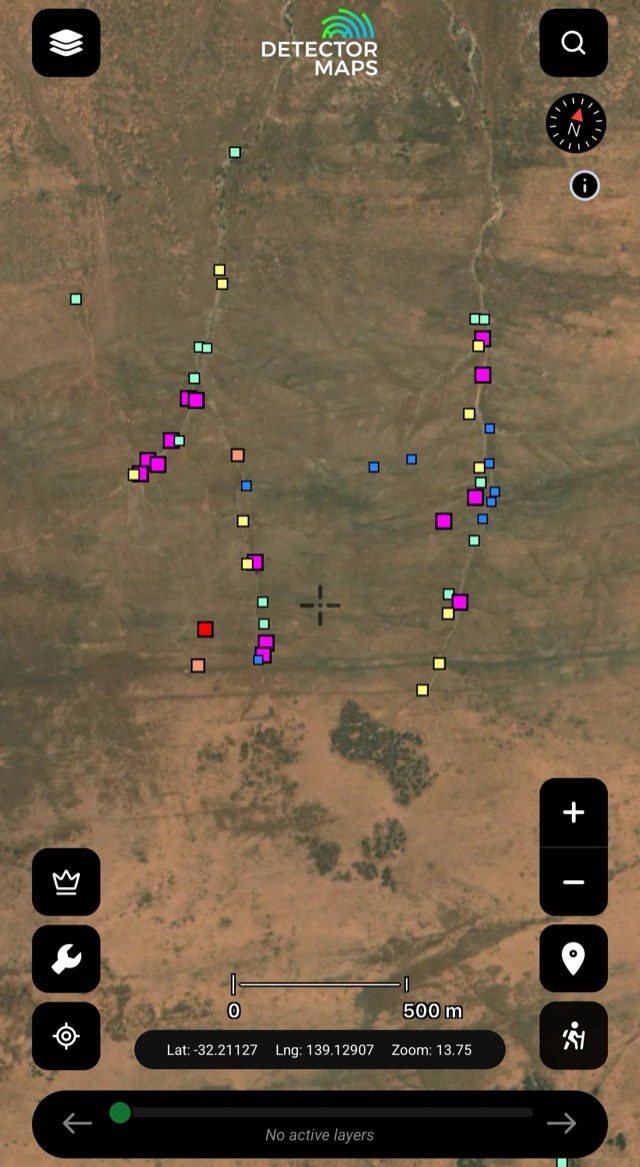
Streams
Creek-sediment gold in ppb — a strong result means a source upstream. Work upstream, focus on bedrock and crevices.

Rock Chips
Gold in exposed rock, in ppm. Visit readings over 10ppm and look along strike of the mineralised sample.
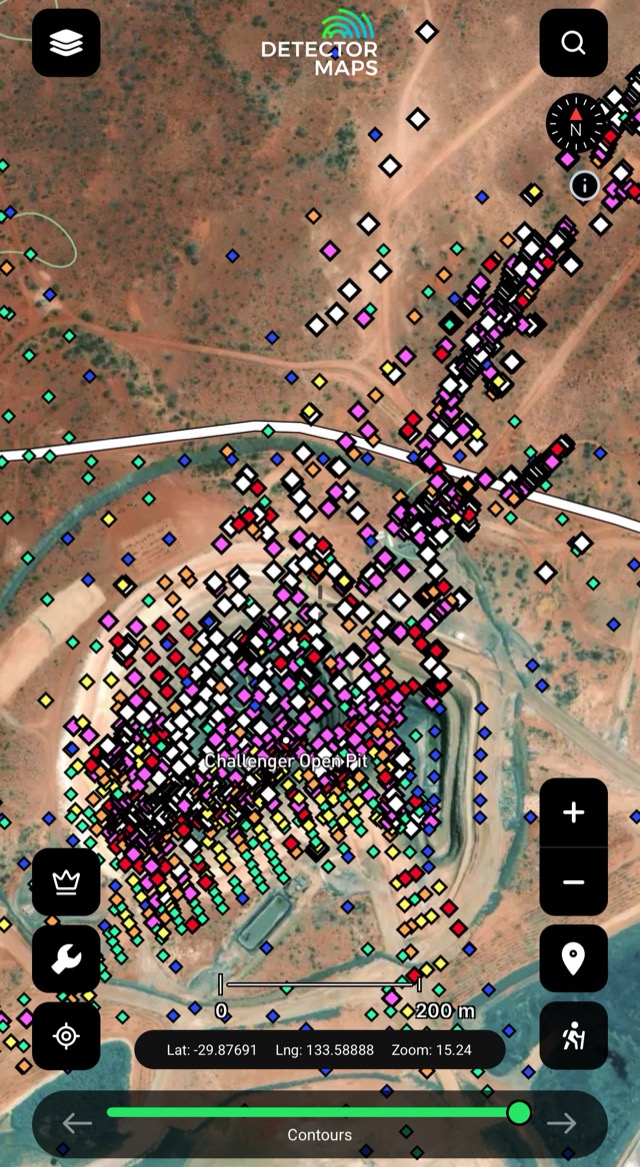
Max Downhole Gold
Highest gold value per drillhole — where explorers committed. Note samples over 30ppm Au.
Old mines and workings are clues, not places to enter. Keep a safe distance from shafts and unstable ground.
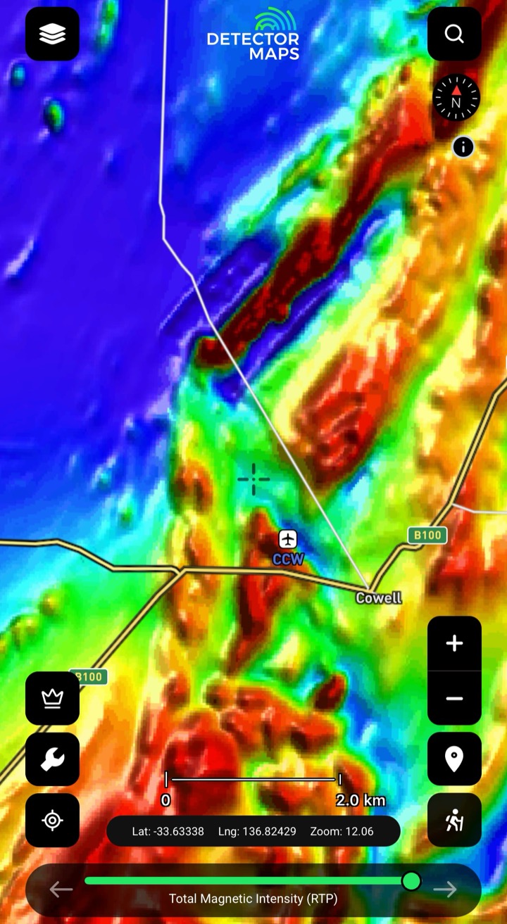
Magnetics (RTP)
Total magnetic intensity reduced to pole — the bedrock and its strike, even under South Australia's deep cover. Some rocks and magnetic features host gold; compare with geochemistry and historic occurrences to find trends nobody's detected.
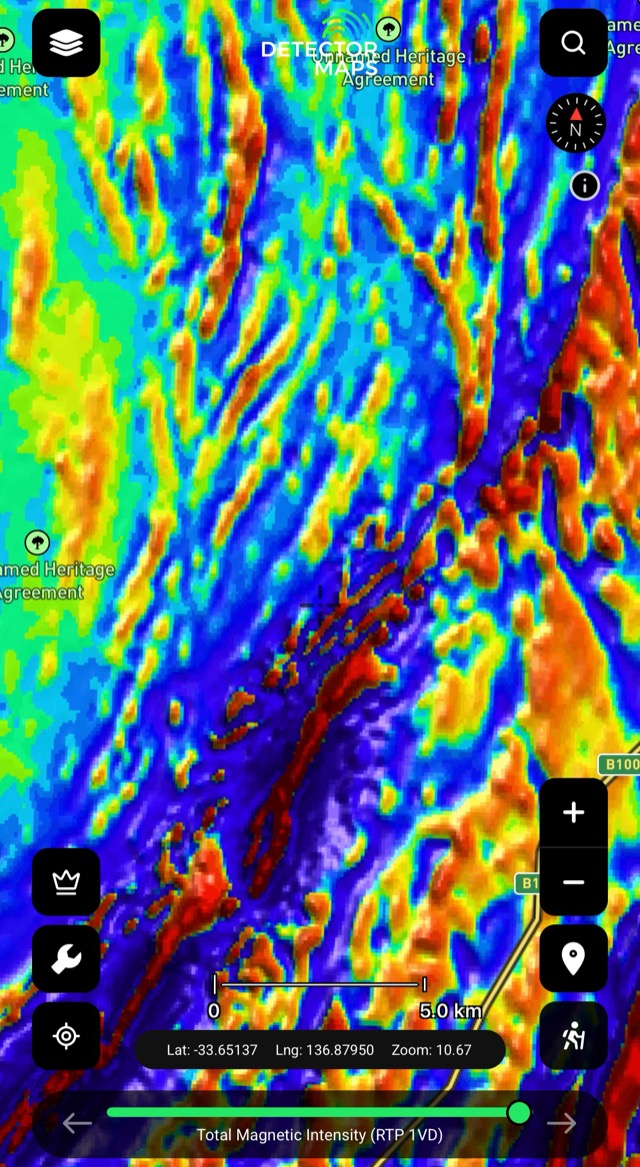
Magnetics (1VD)
First vertical derivative — edges, breaks and lines in shallow magnetics. Compare with RTP and geology.

100k Geology
State geology from big picture to local detail — older units are your source rocks; recent units can carry alluvial gold near source.
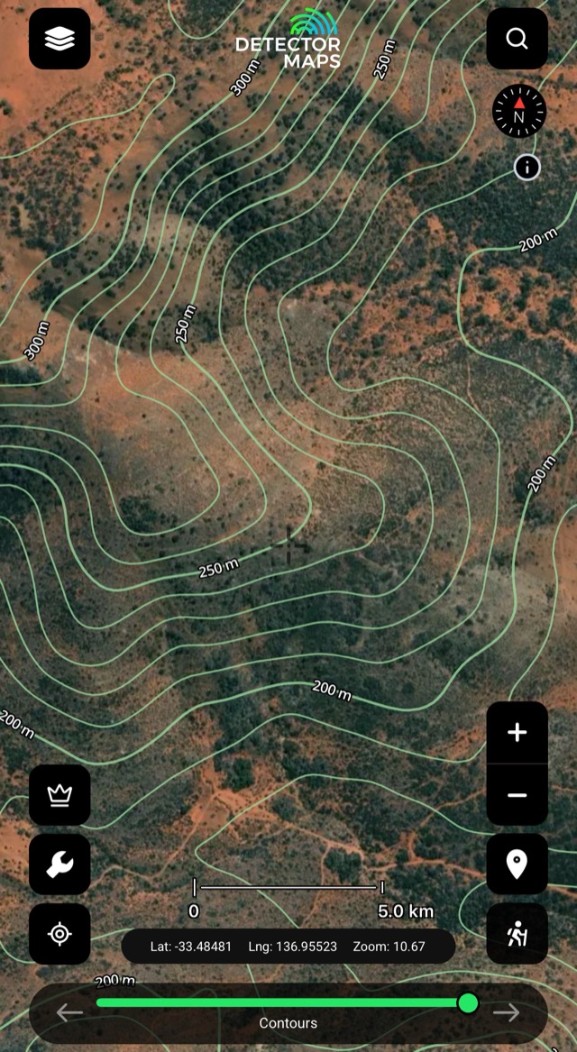
Contours & 250k Topography
Read the ground and plan access — gentle slopes, flats and simple ground near your leads.

Waterways
Creeks, rivers and drainage lines — where material moves and settles. Pair with stream geochemistry.
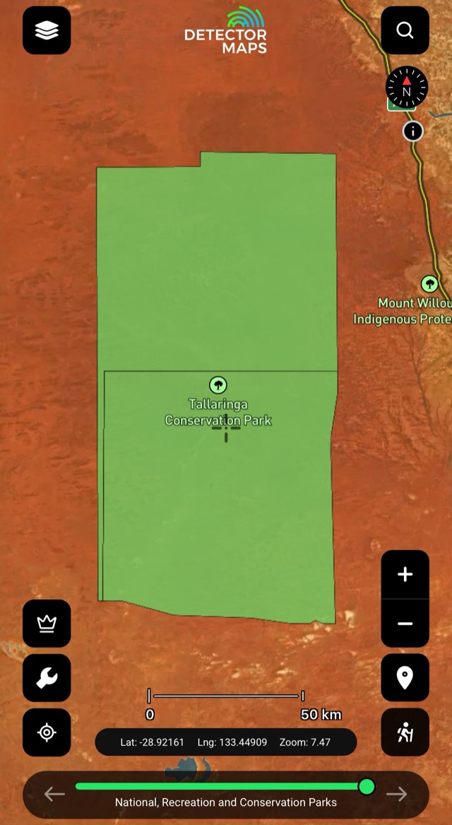
Parks & Reserves
National, Recreation and Conservation Park boundaries — prospecting is often restricted or not allowed. Do not enter.
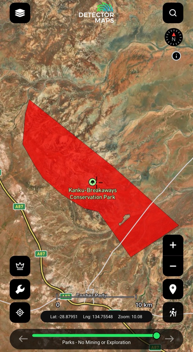
Parks — No Mining
Park areas where mining and prospecting are excluded — mapped so you plan around them.

Aboriginal Land
Land and reserves with their own access rules — may require permissions before entry.
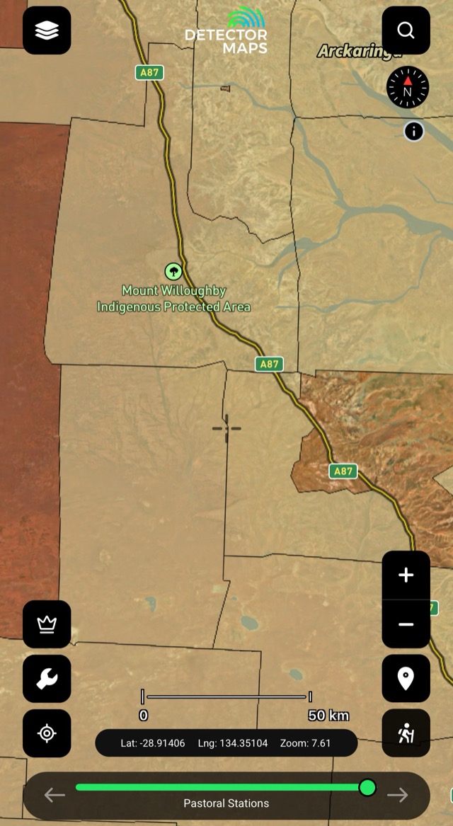
Pastoral Stations
Station boundaries — know whose ground you're crossing before you ask.
The access conversation happens at home, not at a locked gate. Rules vary by state — we link to the relevant government page in-app.


