Detector Maps
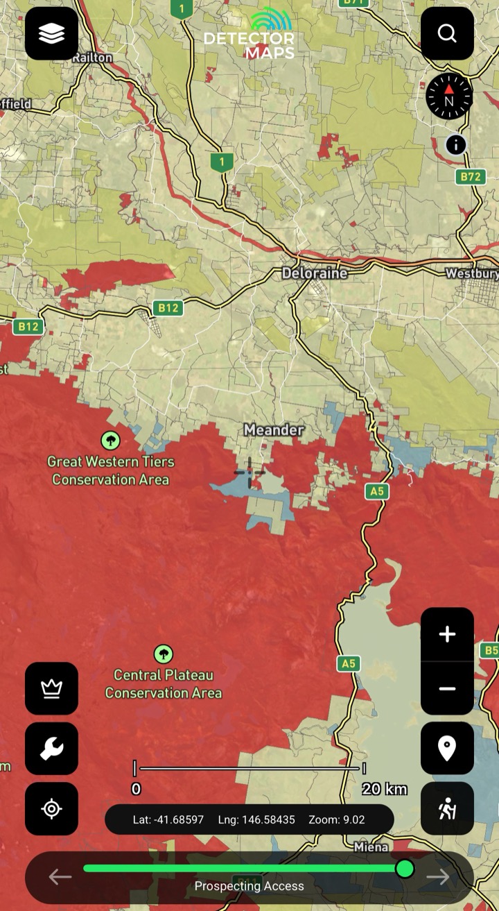
Prospecting Access
Areas where recreational prospecting is allowed — but in Tasmania prospecting (incl. metal detecting) needs a Prospecting Licence from Mineral Resources Tas first. Keep it on while planning, tap the area and follow the info panel conditions: hand tools, closures, site rules.
Current Exploration & Mining Tenements
Granted mining title areas are usually not suitable for recreational fossicking — if a lease covers your spot, choose another area unless the info panel clearly lists an allowance. Exploration licences may set limits or require permissions; if the conditions don't suit, move to a Prospecting Access area.
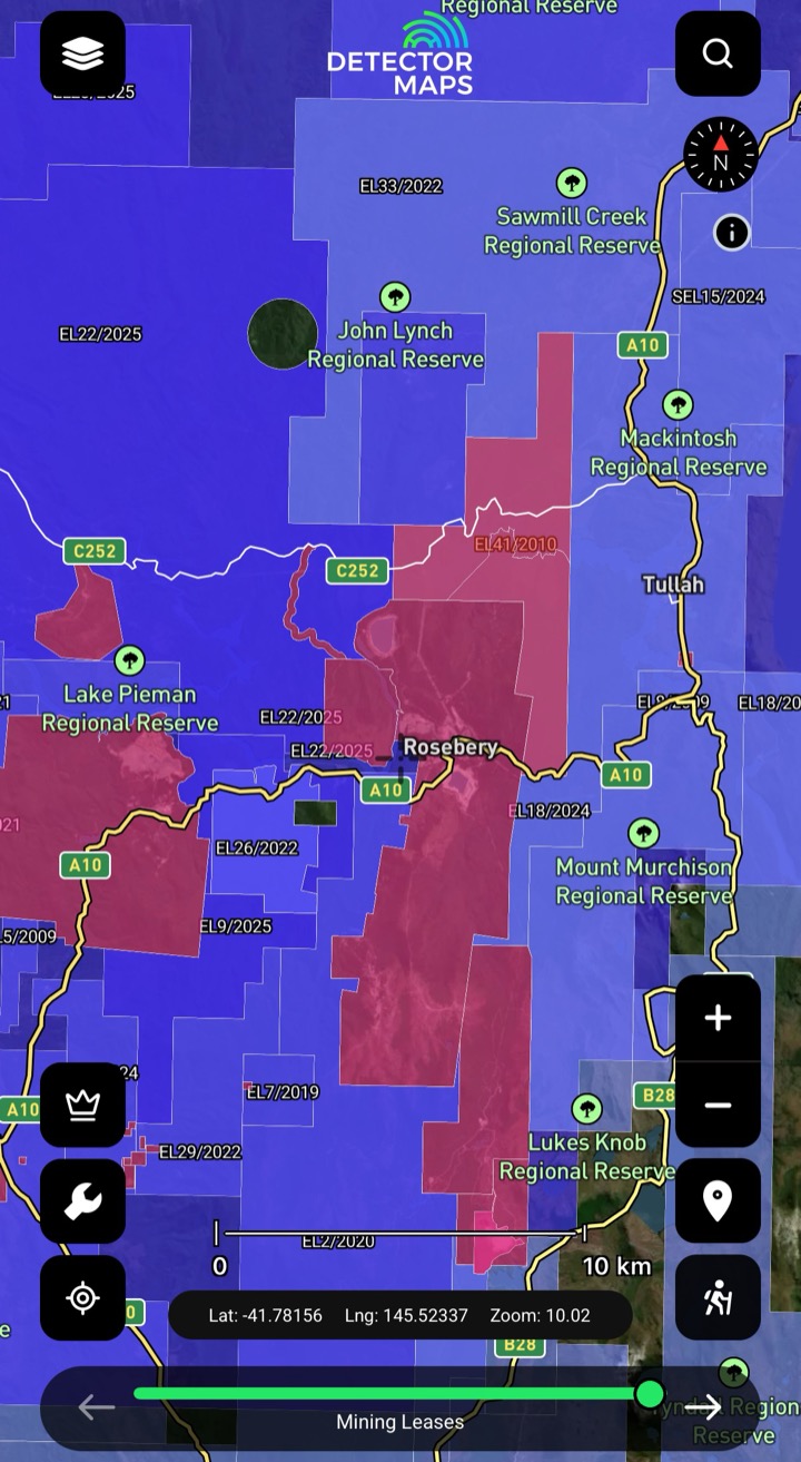
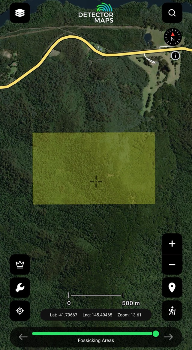
Fossicking Areas
Declared fossicking ground mapped — no licence needed, but metal detectors aren't allowed inside fossicking areas. Tap an area for its conditions before you go.
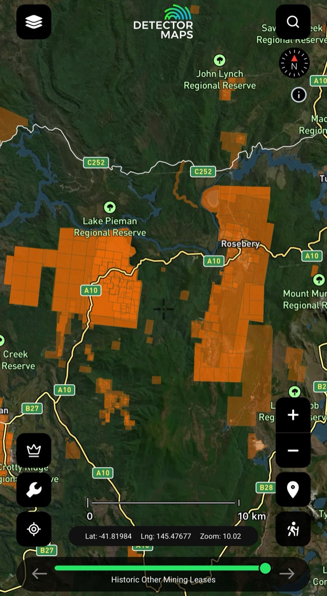
Historical Mining Leases
Historic lease footprints — areas worked in the past. Treat as leads; confirm modern access first.
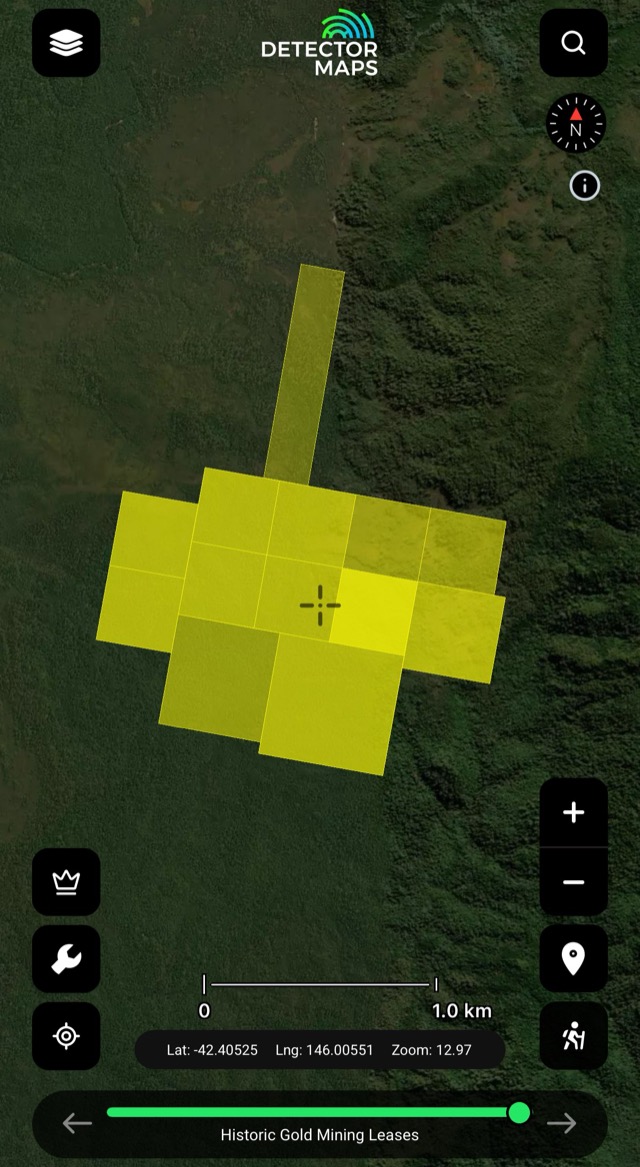
Historical Gold Leases
Historic gold lease footprints — more worked ground to research and chase.
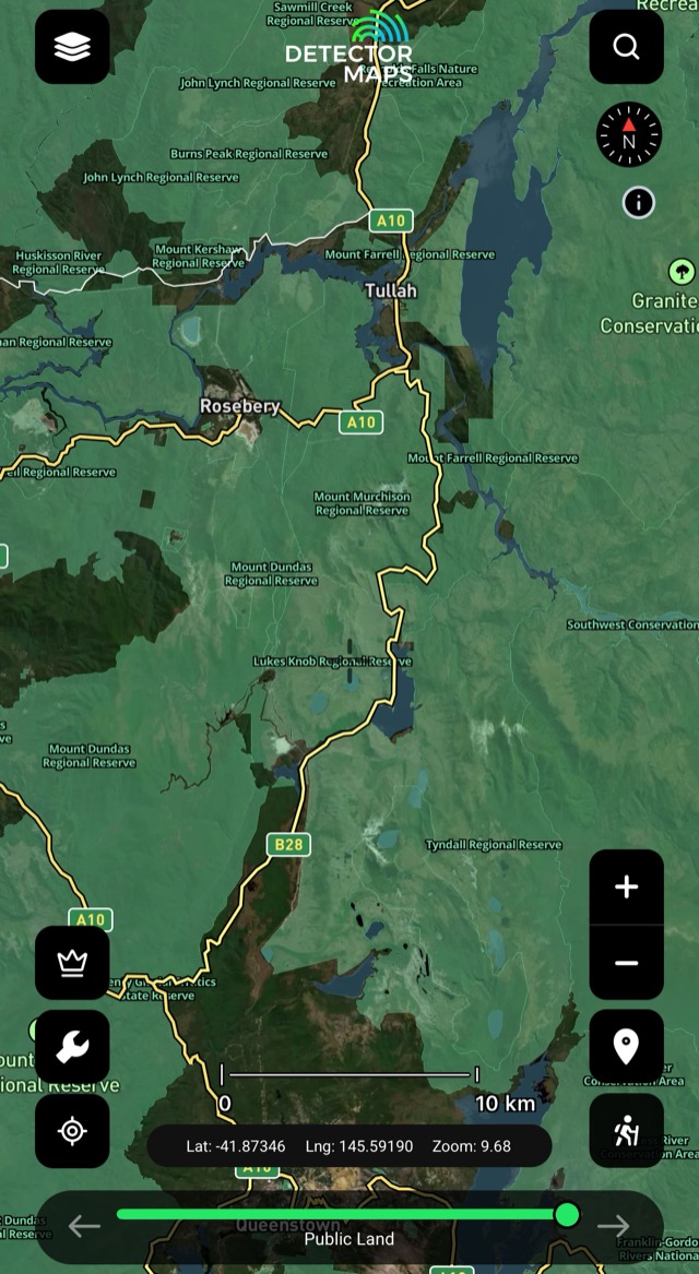
Public Land
Public vs private at a glance — private land needs the owner's permission; public land follows the conditions shown in its layer.
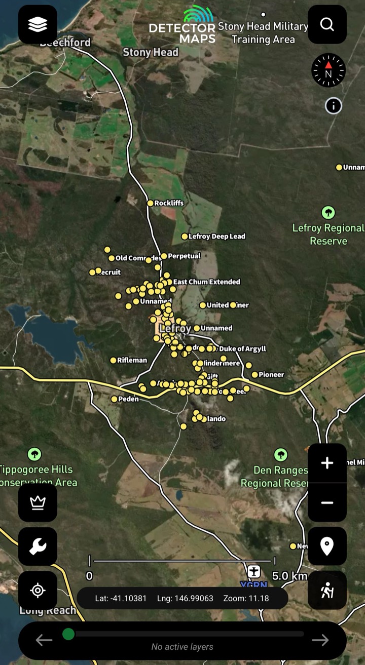
Historic Gold Occurrences & Nuggets
Official records of past gold finds, old mines and workings — plus reported nugget finds pulled from Trove newspaper archives. Turn this on first to choose a general area, then stack geochemistry, geology and LiDAR to pick your targets.
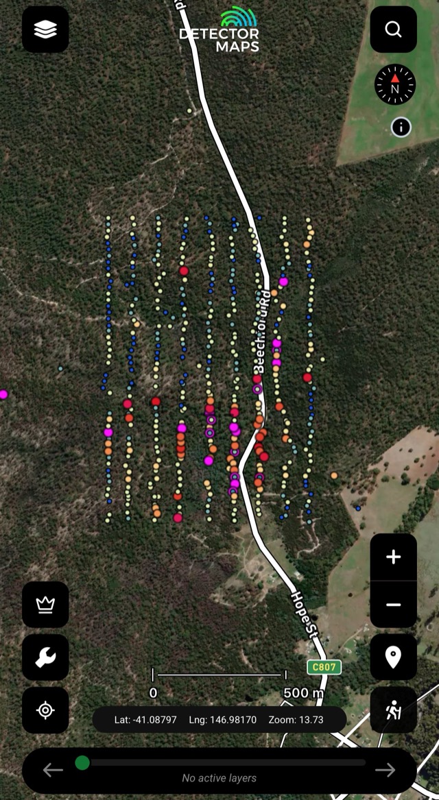
Soils
Gold concentrations in soil samples — look for trends that suggest gold nearby. Compare with geology and LiDAR.
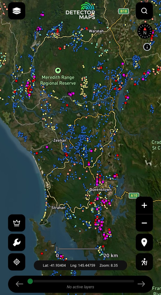
Streams & Streams Panned
Creek-sediment gold in ppb — raw and panned results. A strong result means a source upstream; work towards it.
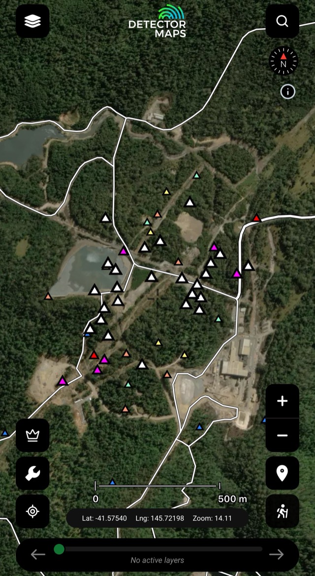
Rock Chips
Gold in exposed rock, in ppm. Visit readings over 10ppm and look along strike of the mineralised sample.
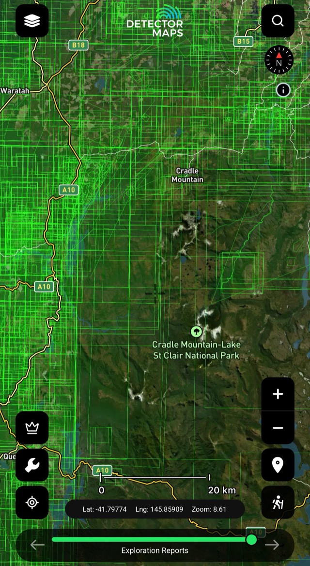
Historic Mineral Reports
Old mineral reports pinned to the ground they describe — the paper trail behind the workings.
Old mines and workings are clues, not places to enter. Keep a safe distance from shafts and unstable ground.

LiDAR Hillshading
Shaded relief that reveals subtle features — old diggings, benches, linear disturbances — under the bush. Scan slowly at a few zoom levels around your historic and geochem leads. Included with Explorer, no add-on. See the LiDAR page →
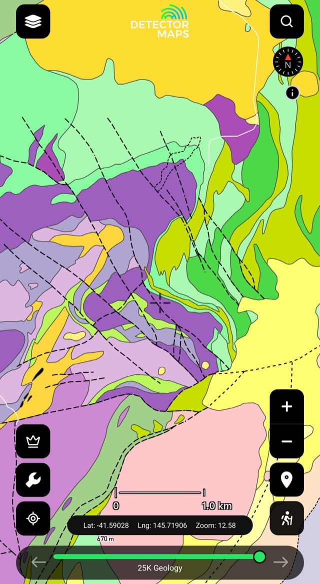
Geology (50k)
Fine-scale state geology — local detail where you're actually swinging. Older units are your source rocks.
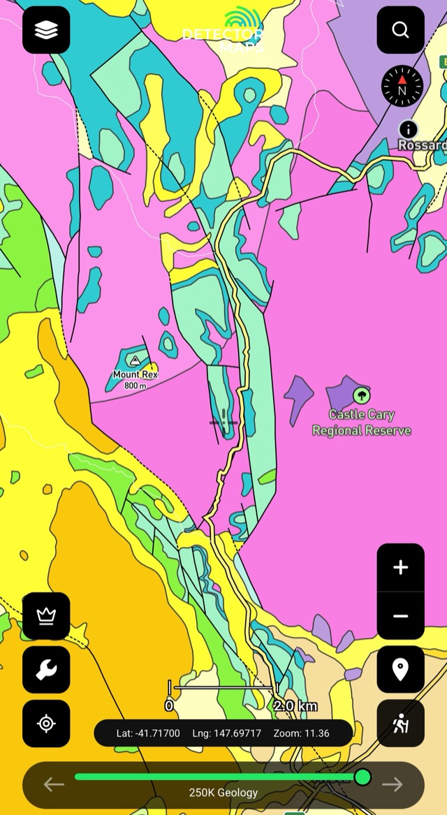
Geology (250k)
Regional-scale geology — the big picture before you zoom in. Watch where rock types meet or lines change direction.
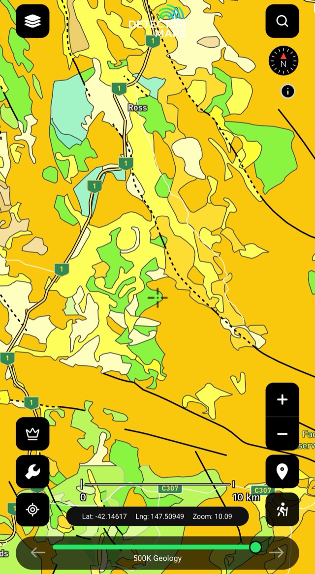
Geology (500k)
Statewide view — context for every other layer underneath your targets.
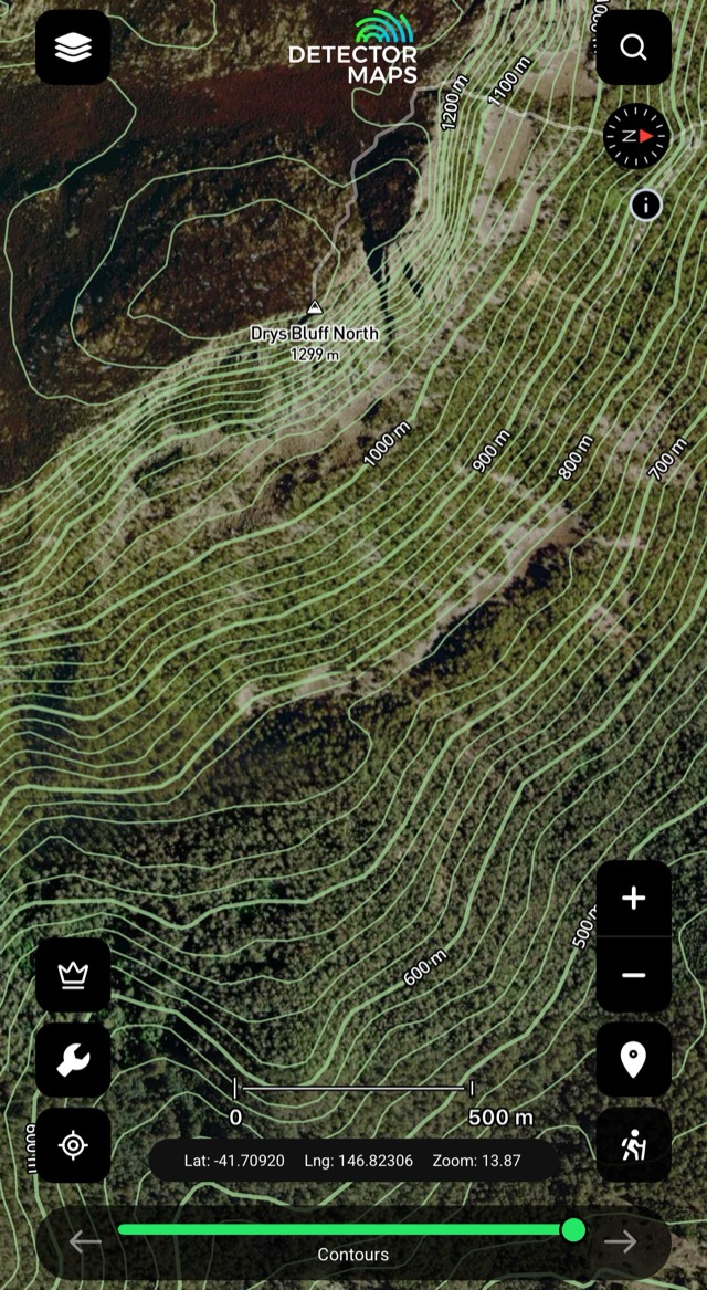
Contours & 250k Topography
Read the ground and plan access — gentle slope changes, flat steps, easy walking routes.
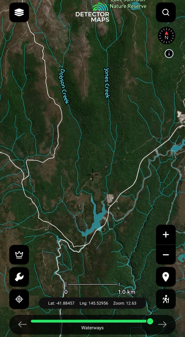
Watercourses
Creeks, rivers and drainage lines — where material moves and settles. Use with hillshading and contours to read bends, junctions and terrace flats.
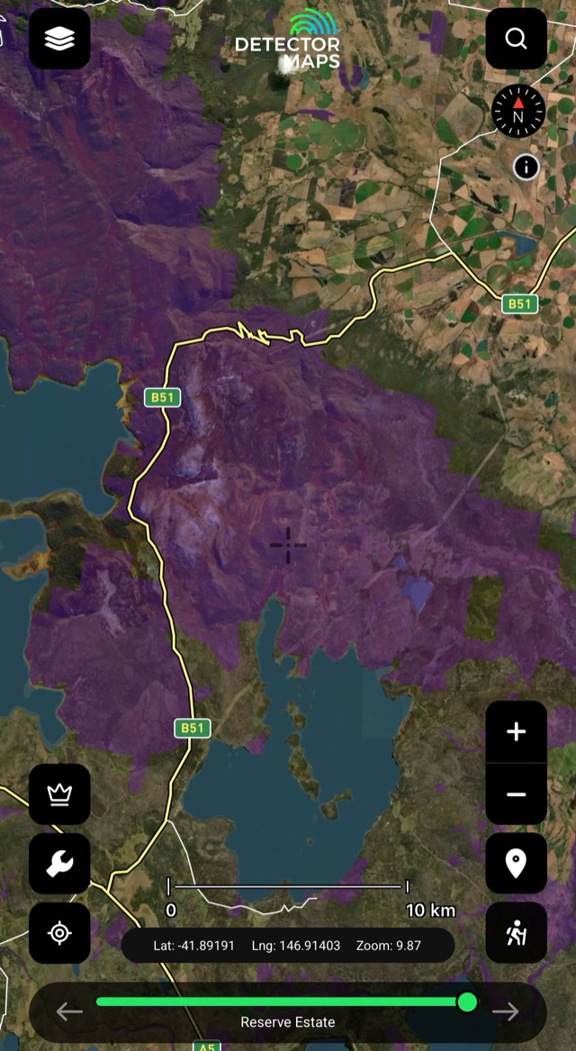
Reserve Estate
Tasmania's parks and reserves mapped — rules differ by reserve; check before you plan around one.
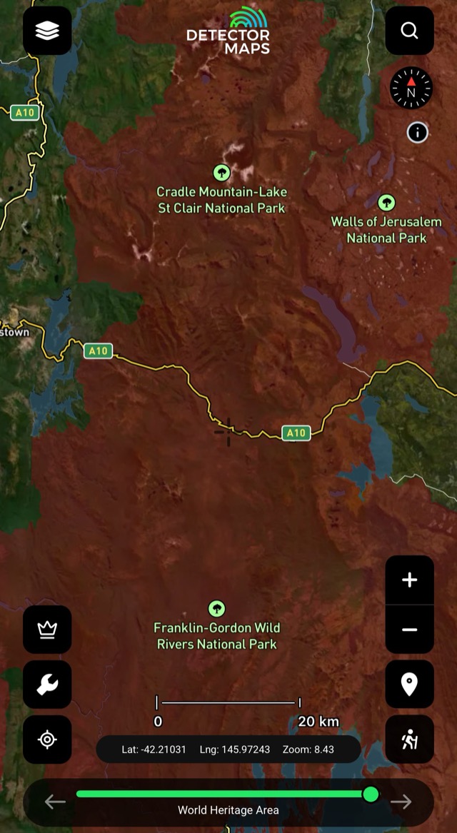
World Heritage Areas
World Heritage Area boundaries on the map — plan around them with respect.
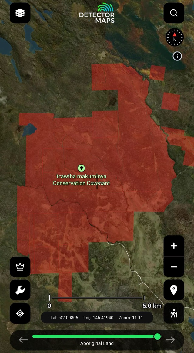
Aboriginal Areas
Aboriginal heritage areas mapped so you can plan around them with respect.
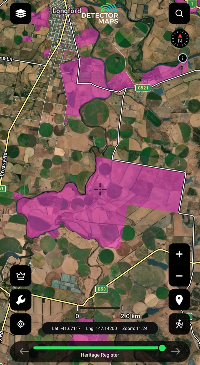
Heritage Register
Registered heritage places — more boundaries worth knowing before you dig.
The access conversation happens at home, not at a locked gate. Rules vary by state — we link to the relevant government page in-app.