 Detector Maps
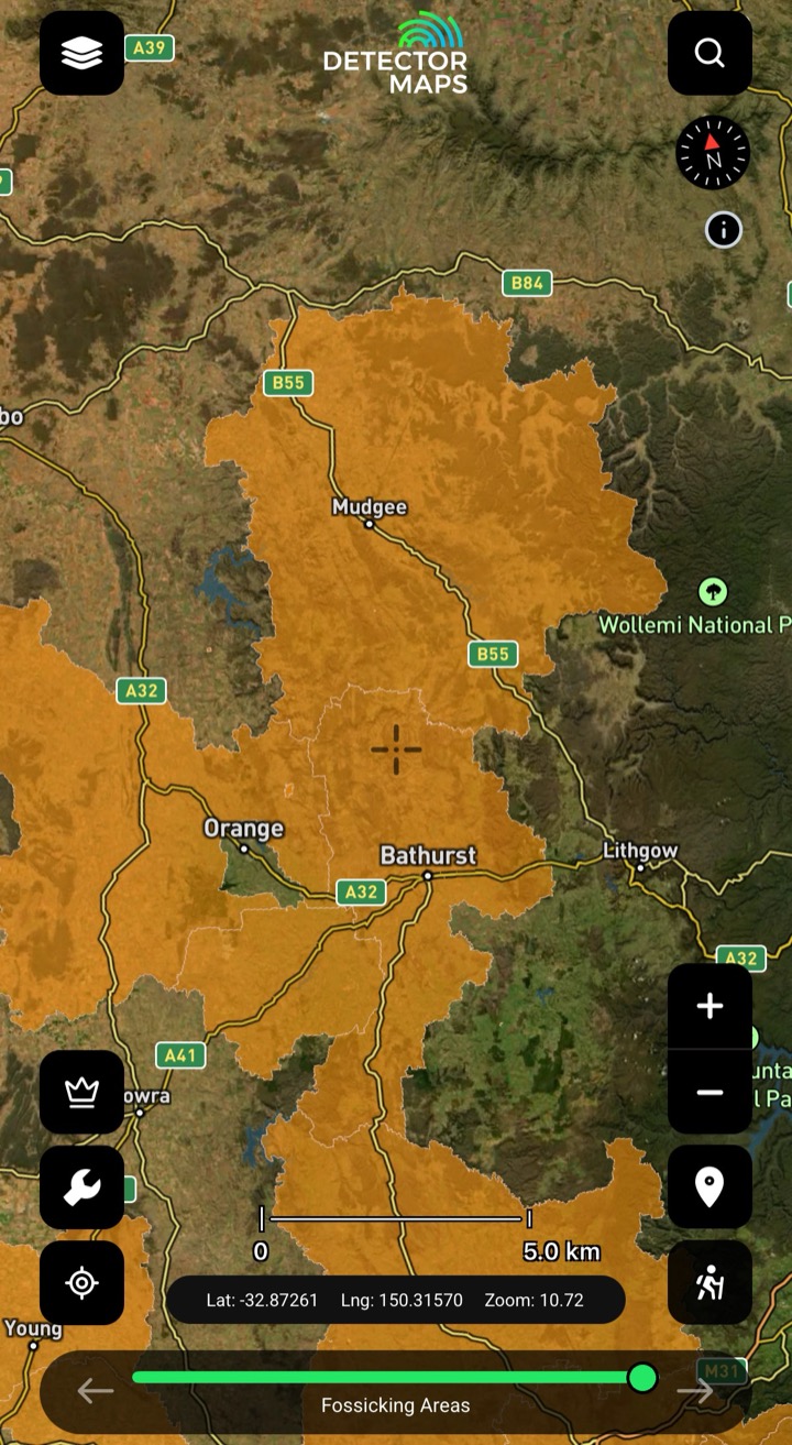
Fossicking Districts
Declared districts with simplified fossicking rules — inside these you can go prospecting without needing Exploration Leaseholder permission, though you still need landowner or land manager consent. Keep it on while planning and tap the map to check who manages the land.
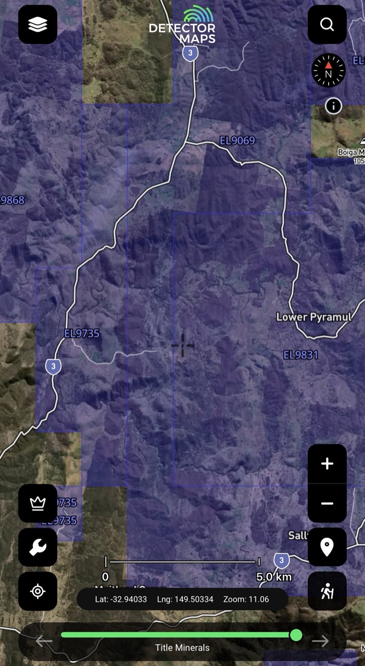
Title Minerals — Current
Live mineral title coverage — Exploration Licences and Mining Leases on the map, each tappable for its info panel. Titles can add conditions or block fossicking: avoid Mining Leases, and for Exploration Licences follow what the panel shows.
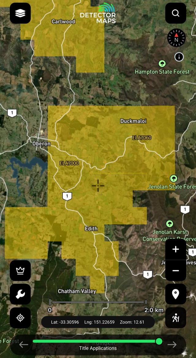
Title Applications
Applications lodged but not yet granted — status can change, so recheck before trips.
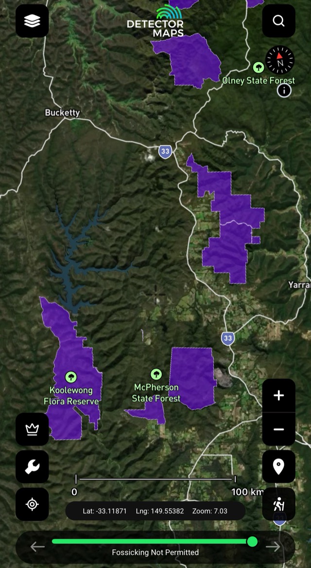
Fossicking Not Permitted
Areas where fossicking isn't allowed — avoid fines and protected places. If this covers your spot, choose another area and leave a buffer from the edge.
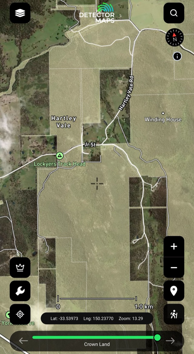
Crown Land
Crown land mapped — unmanaged Crown Land can be fossicked under the Mining Act 1992 without a permit; managed, leased or licensed Crown Land needs the manager's permission. Use with Property Boundaries to see who manages what.
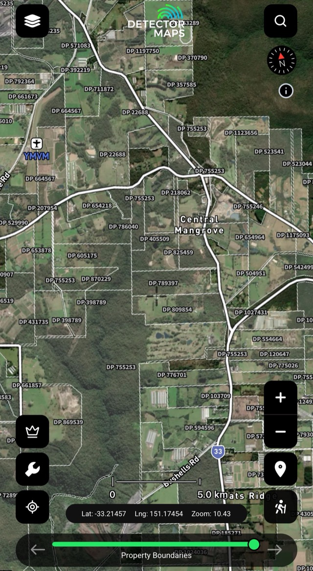
Property Boundaries
Land parcel boundaries — private vs public at a glance. Private land needs owner permission; public land follows its layer's rules.
State Forests: fossicking is allowed under conditions — usually a permit, hand tools only, no machinery; tap a forest for its rules. National Parks: not allowed unless clearly stated for that specific park — if it doesn't say so, don't.
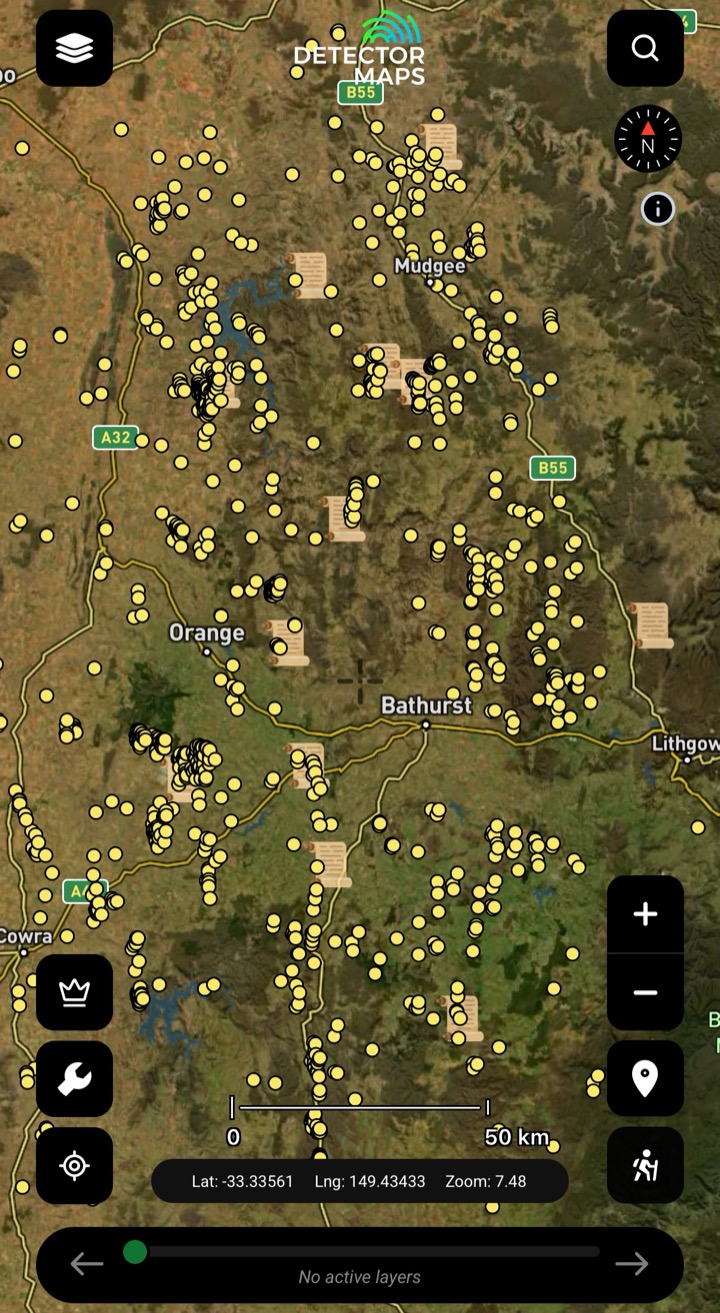
Historic Gold Occurrences & Nuggets
Official records of past gold finds, old mines and workings — plus reported larger nugget locations. Turn this on first to choose a general area, then stack geochemistry, geology and LiDAR to pick your targets.
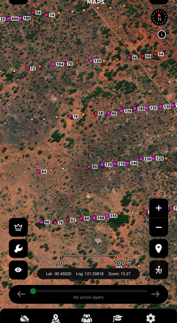
Soils
Gold concentrations in soil samples from exploration companies — look for trends that suggest gold nearby.
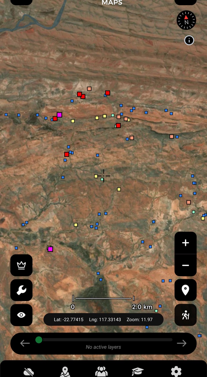
Streams
Creek-sediment gold in ppb — a strong result means a source upstream. Work upstream, focus on bedrock and crevices.
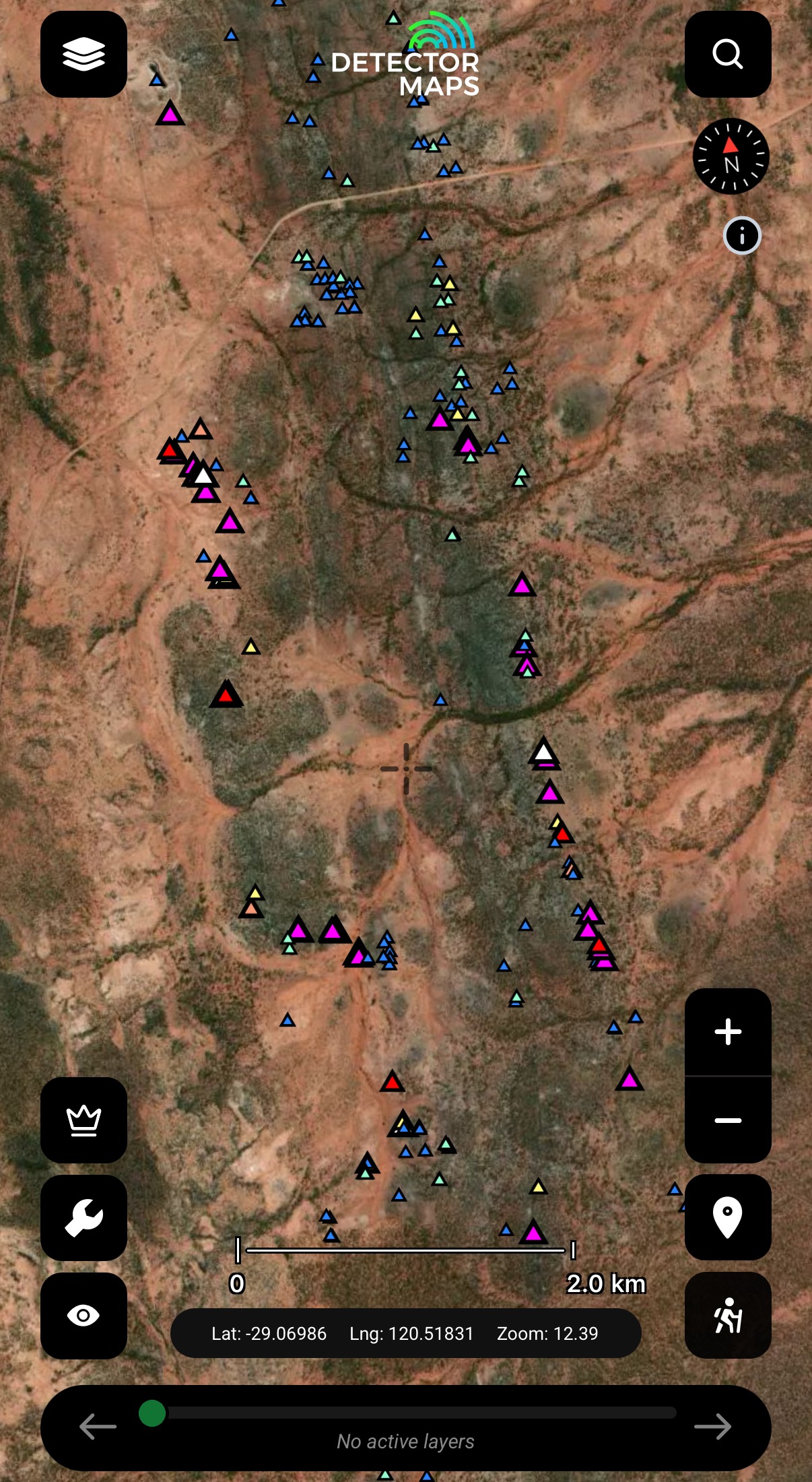
Rock Chips
Gold in exposed rock, in ppm. Visit readings over 10ppm and look along strike of the mineralised sample.
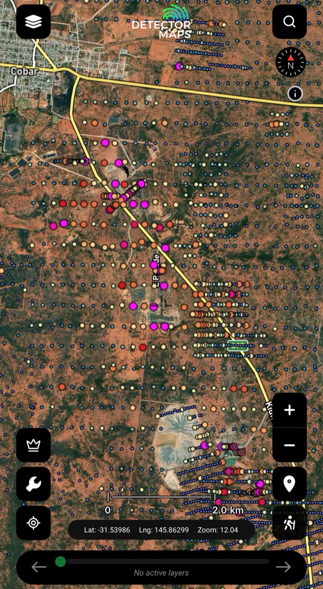
Lag Geochemistry
Gold in lag samples — the resistant surface gravels that concentrate heavy minerals. Another lens where soils are thin.
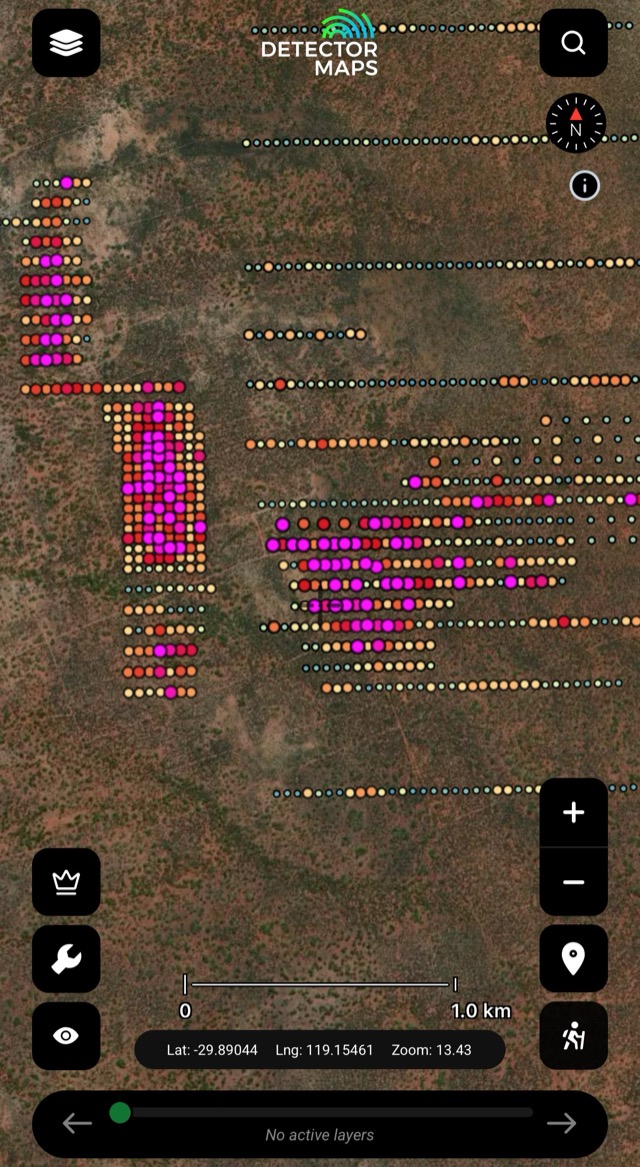
Shallow Surface Drilling
Near-surface drilling (auger/RAB) testing gold through the soil profile — finds gold where rocks don't stick out or are buried.
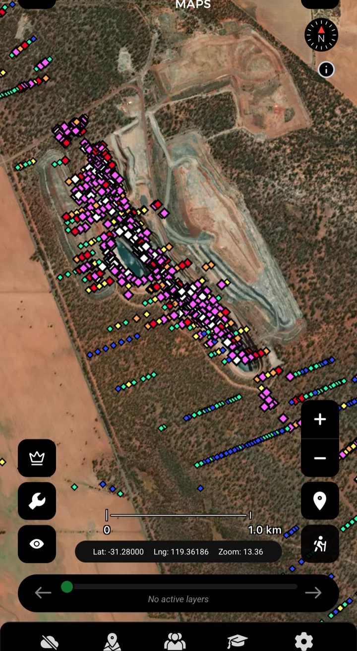
Max Downhole Gold
Highest gold value per drillhole — where explorers committed. Note samples over 30ppm Au.
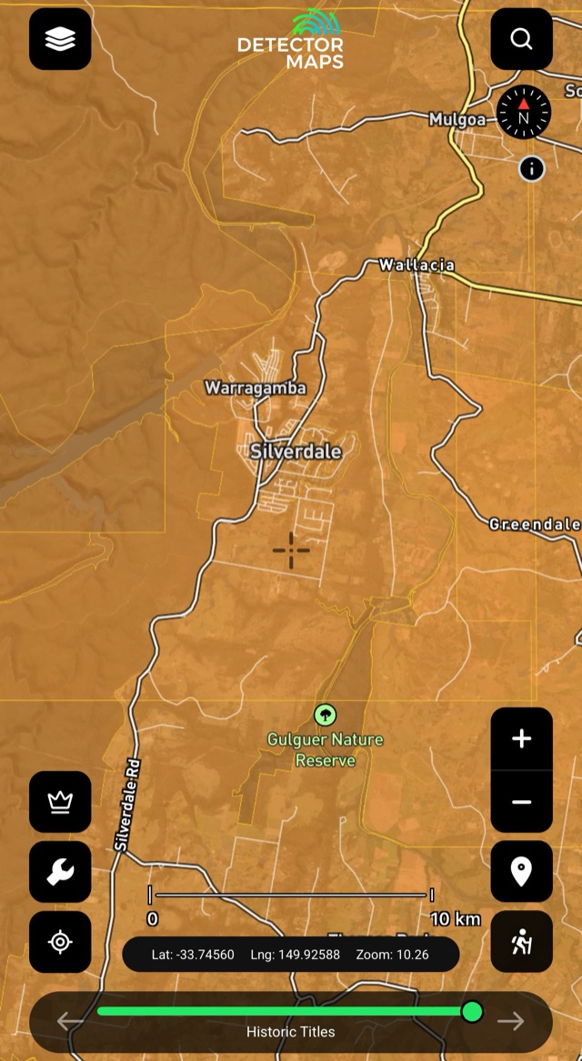
Historic Mineral Reports
Old mineral reports pinned to the ground they describe — the paper trail behind the workings.
Old mines and workings are clues, not places to enter. Keep a safe distance from shafts and unstable ground.

Premium NSW Hillshade
High-detail shaded relief from LiDAR — tiny pits, tailings and old workings stand out. Check the Premium LiDAR Extents layer for coverage, then scan slowly at a few zoom levels around your historic and geochemistry leads. A $40/yr NSW add-on (not part of the free trial). See the LiDAR page →

Magnetics (RTP)
Total magnetic intensity — the bedrock and its strike. Some rocks and magnetic features host gold.
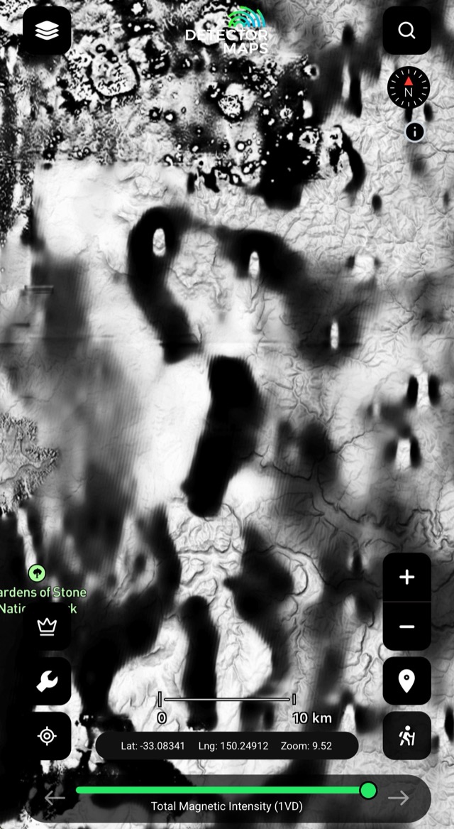
Magnetics (1VD)
First vertical derivative — edges, breaks and lines in shallow magnetics. Compare with RTP and geology.
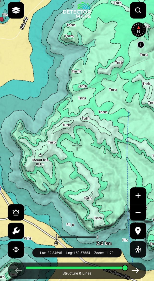
Seamless Geology
Continuous bedrock geology across NSW — the 'why here' context for gold. Keep it on under your historic and geochem layers.

Contours & 250k Topography
Elevation lines showing slope and shape — spot benches, gentle slopes and terrace-like ground. Plan easy walking routes.
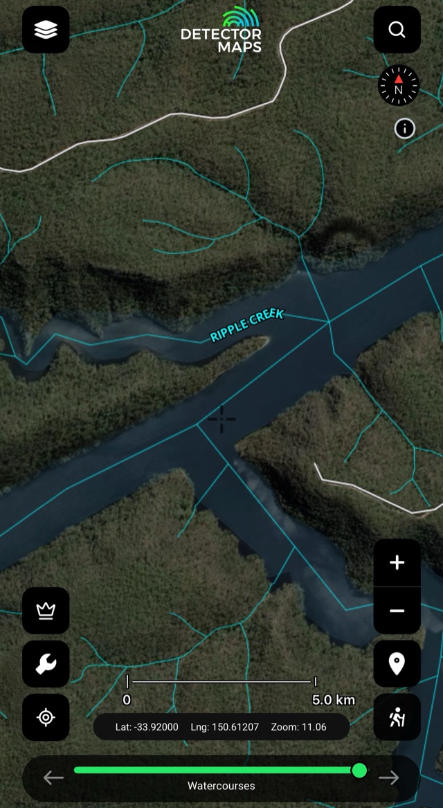
Watercourses
Creeks, rivers and drainage lines — where material moves and settles. Look at inside bends, junctions and gentle flats.

National Parks
NPWS-managed parks and reserves — fossicking is not allowed unless clearly stated for that specific park.
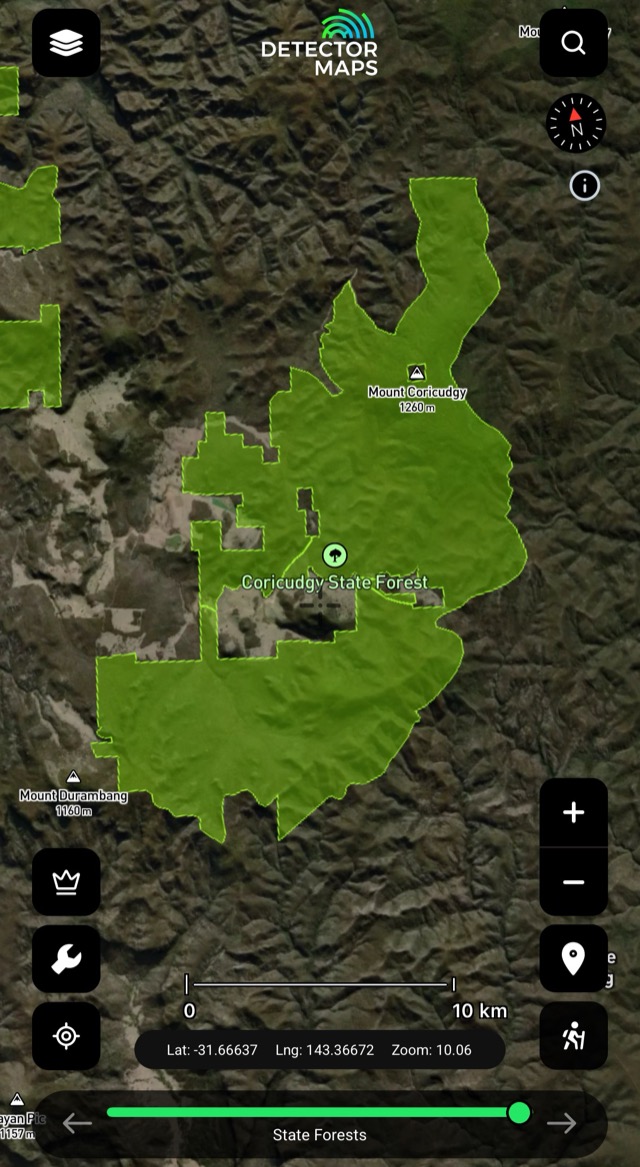
State Forests
Forest boundaries where fossicking is allowed under conditions — tap a forest and follow the rules in its info panel.
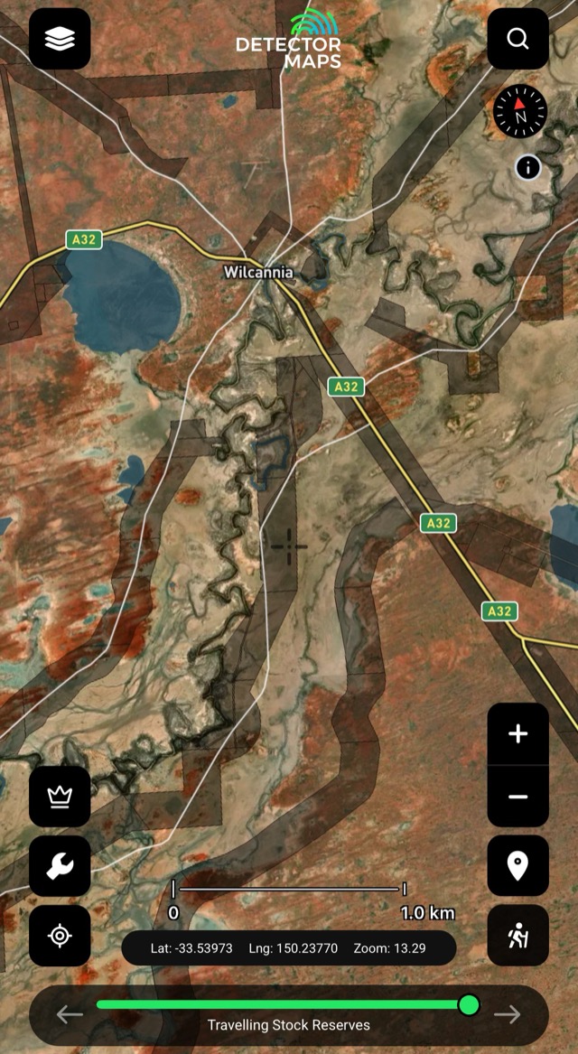
Travelling Stock Routes
Stock route corridors on the map — another piece of the access picture. Check the rules that apply before relying on them.

Fire Areas
Fire areas on the map — check conditions before you head out.
The access conversation happens at home, not at a locked gate. Rules vary by state — we link to the relevant government page in-app.


