 Detector Maps
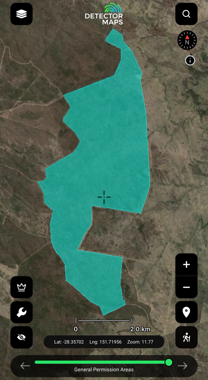
General Permission Areas (GPAs)
Private properties where the landholder has given general permission for fossicking in Queensland. Turn the layer on, tap a polygon to read the landholder's conditions, pay any fee they require, and carry your fossicking licence.
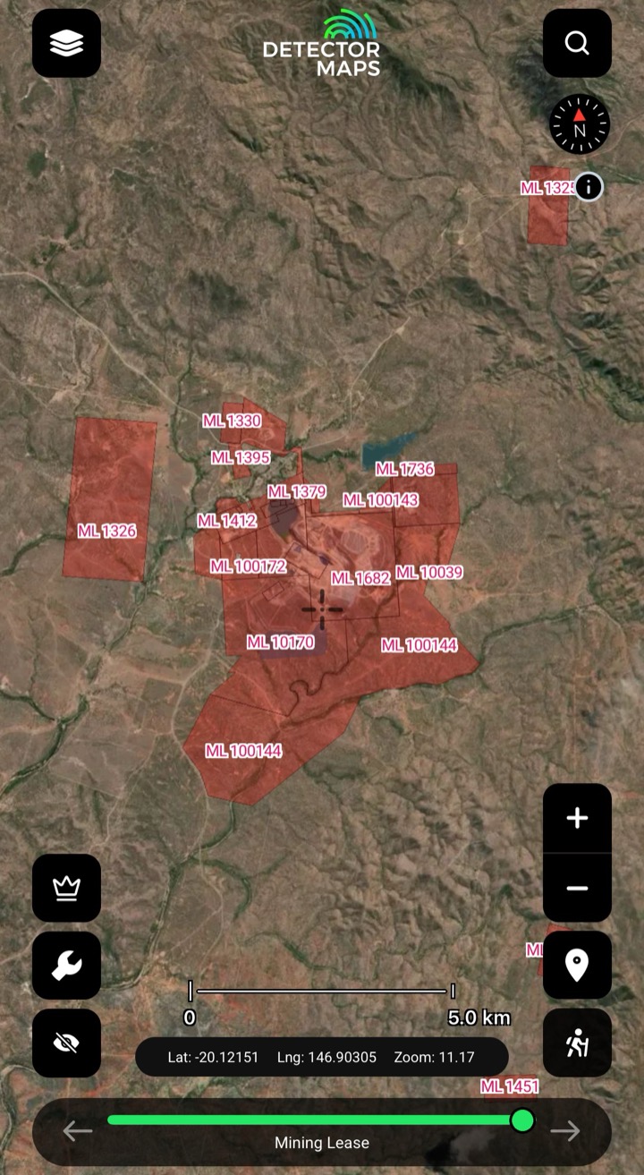
Mining Leases
Granted and pending mining lease areas. Prospecting is strictly prohibited in these areas without consent from the lease holder. Turn on, tap the lease, read the info panel — and don't trespass.
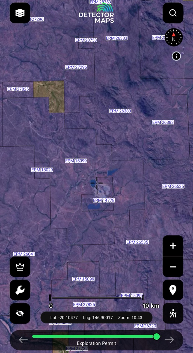
Exploration Permits
Granted exploration permit areas — see where active exploration is happening and tap to retrieve the holder's details.
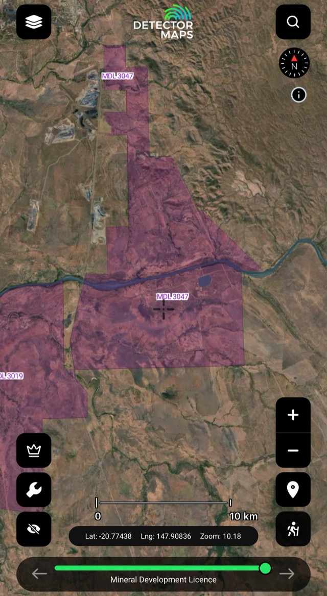
Mineral Development Licences
Taken over areas where mining studies are underway. Prospecting is strictly prohibited without the leaseholder's consent.
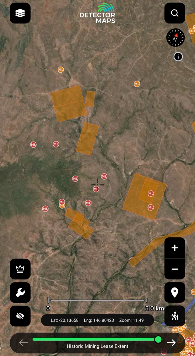
Historical Mining Leases
Historic lease footprints — areas worked in the past. Treat as leads to prospective ground; confirm modern access first.
Fossicking licence: GPAs are for licensed fossickers — carry yours. National Parks and Reserves: fossicking is not permitted; State Forests require permission. Native Title: check the layer when applying for permits.
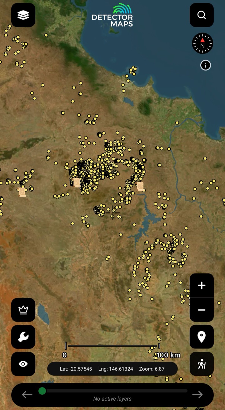
Historic Gold Occurrences & Nuggets
Official records of past gold finds, old mines and workings — plus reported larger nugget locations from historic sources. Turn this on first to choose a general area, then stack geochemistry, geology and LiDAR to pick your targets.
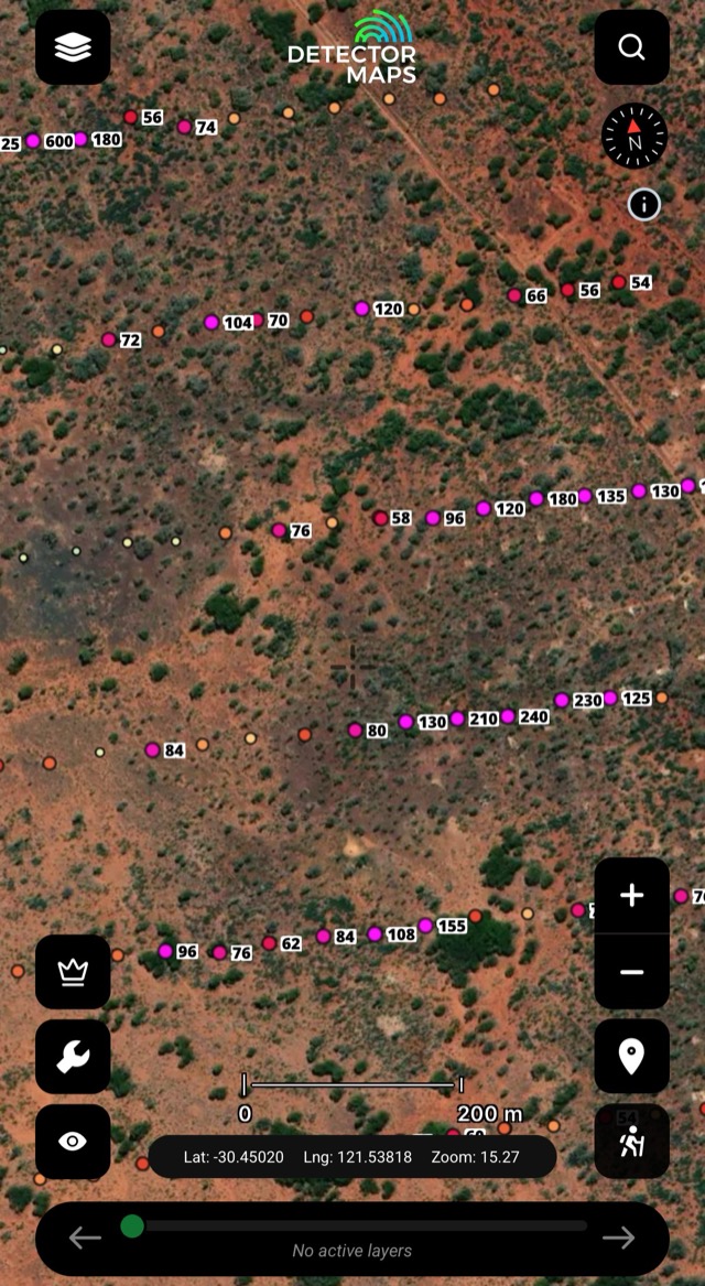
Soils
Gold in soil samples near the surface — picks up subtle signs where rock is covered. Note higher readings as worth a look.
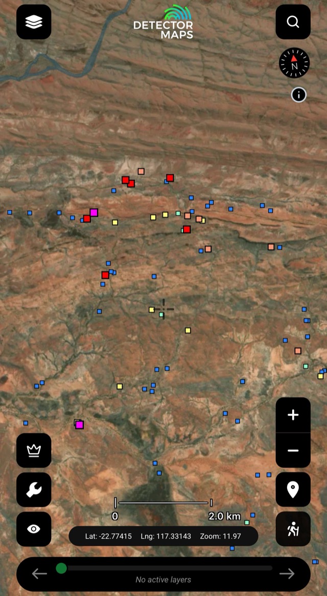
Streams
Gold in creek and river sediments — a source somewhere upstream. Start near stronger results, check side creeks and junctions.
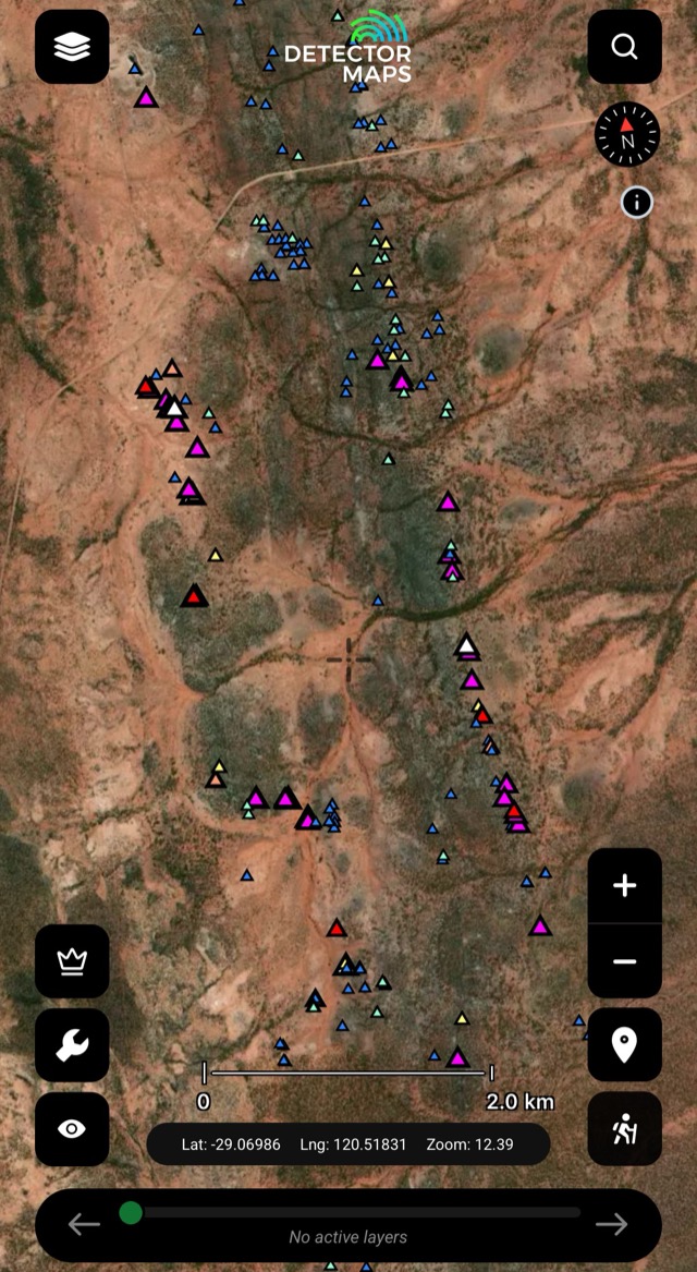
Rock Chips
Gold measured in exposed rock — points to gold in or very close to the rock. Visit safely around old diggings.
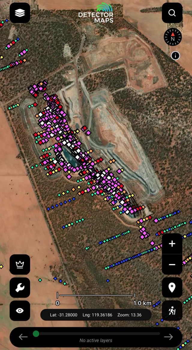
Max Downhole Gold
Highest gold value per drillhole — where explorers committed. Note samples over 30ppm Au.
Old mines and workings are clues, not places to enter. Keep a safe distance from shafts and unstable ground.
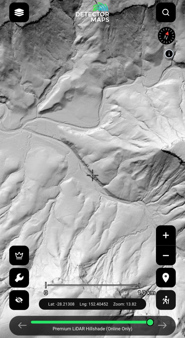
LiDAR Hillshade
High-detail shaded relief from LiDAR data — old diggings, benches and tracks revealed under the scrub, where coverage exists. Scan slowly at a few zoom levels around your leads. A $100/yr QLD add-on (not part of the free trial). See the LiDAR page →
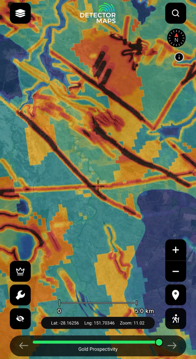
Gold Prospectivity
A gold prospectivity layer for QLD — a head start on where to look. Stack with magnetics and geology to make targets.
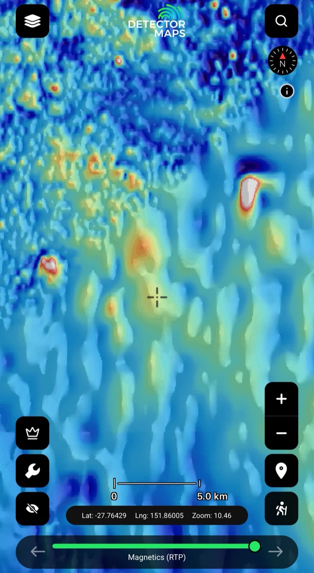
Magnetics (RTP)
Total magnetic intensity — the bedrock and its strike. Some rocks and magnetic features host gold.
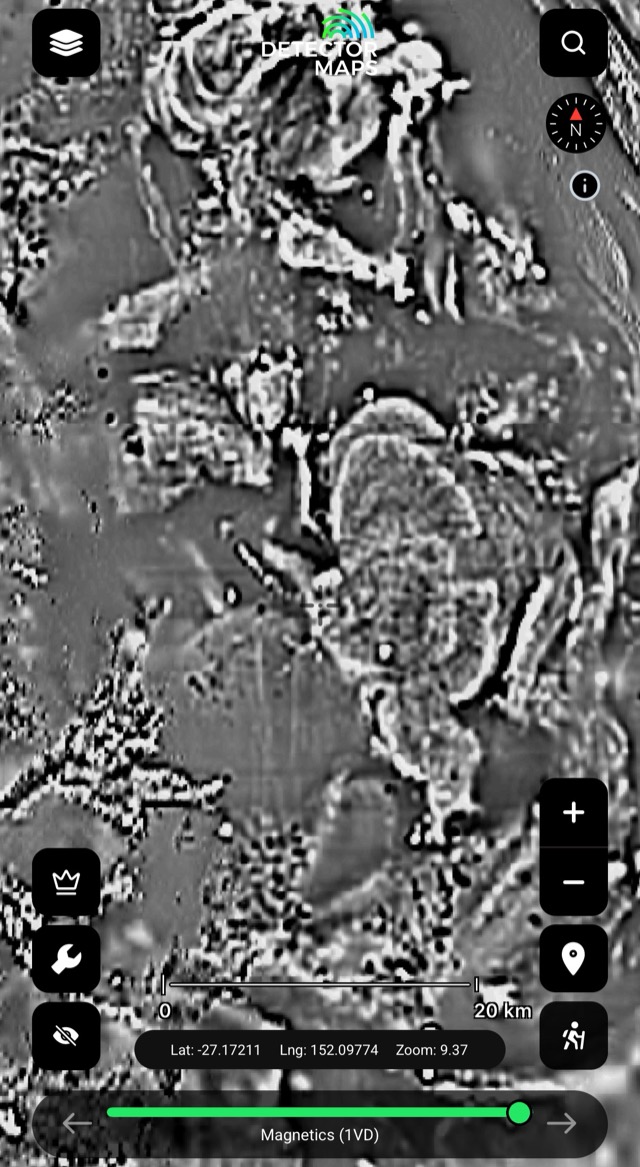
Magnetics (1VD)
First vertical derivative — edges, breaks and lines in shallow magnetics. Compare with RTP and geology.
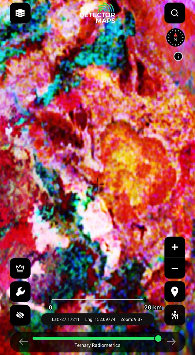
Radiometrics
Radiometric imagery — another geophysical lens on what the ground is made of.
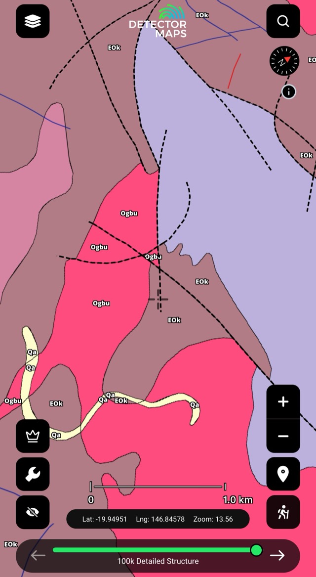
Detailed Geology (100k)
The 100k state surface geology — geology controls where gold sits at the surface. Extrapolate from workings to fresh ground.
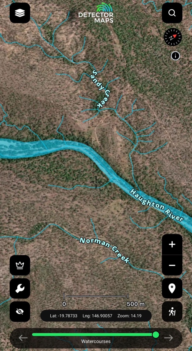
Watercourses
Creeks, rivers and drainage lines — see where alluvial gold may have come from. Pair with stream sediment samples.
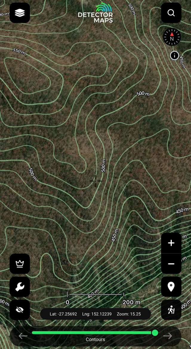
Contours & 250k Topography
Read the ground and plan access — gentle slope changes, flat steps, easy walking routes.
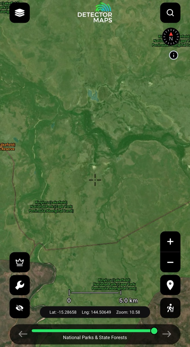
Parks & Reserves
National Park, Reserve and State Forest boundaries. Fossicking is not permitted in Parks or Reserves; State Forests need permission.
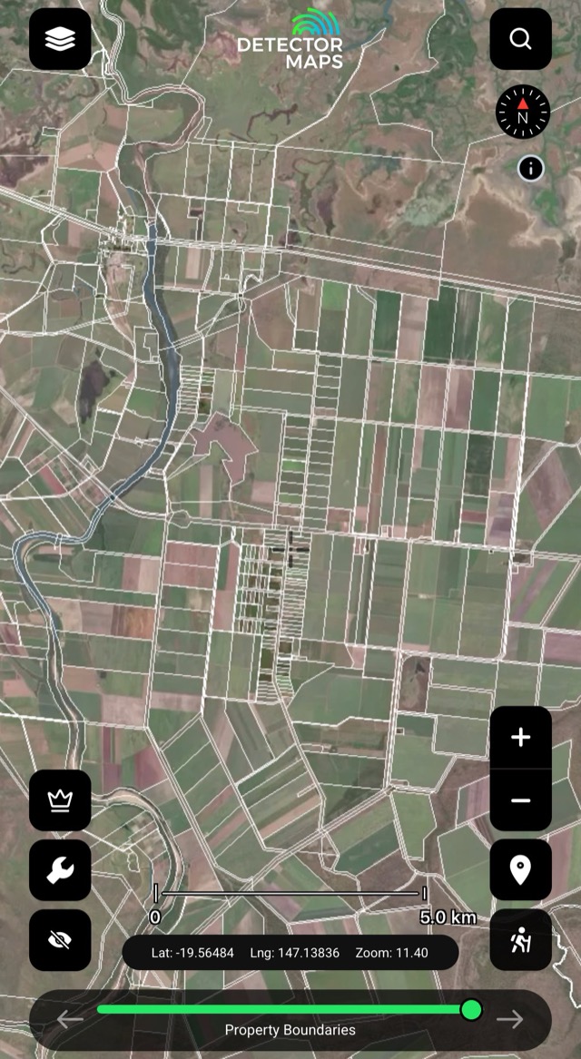
Property Boundaries
Parcel boundaries with lot details — freehold and leasehold land needs the owner's permission. Use the Plan/Lot number for a title search.
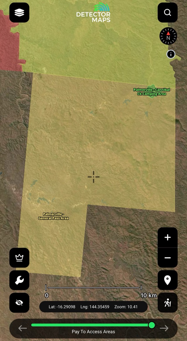
Pay-To-Access Areas
Mapped pay-to-access fossicking spots — another way onto gold-bearing ground.
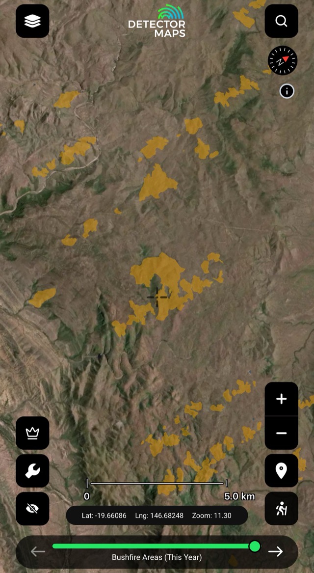
Fire Areas
Fire areas on the map — check conditions before you head out.
The access conversation happens at home, not at a locked gate. Rules vary by state — we link to the relevant government page in-app.


