Detector Maps

Reserved Land & Fossicking Areas
Declared and proposed fossicking areas with specific rules — designed for hobby prospecting with simple conditions. Inside a declared area, follow the conditions in the info panel; outside them, read the panel for what permissions apply to that land type and choose accordingly.
Mining & Exploration Leases
Granted mining leases are usually not suitable for recreational fossicking — if one covers your spot, tap the info panel; if restricted, select another area. Granted exploration leases can set limits or require permission or notification — follow the panel, or move to a declared fossicking area or open ground.
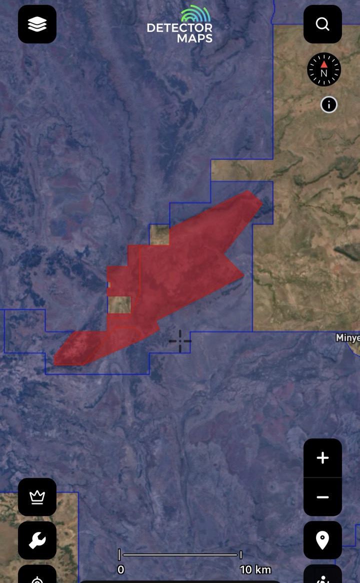

Historical Mining Leases
Historic lease footprints — areas worked in the past. Treat as leads; confirm modern access first.
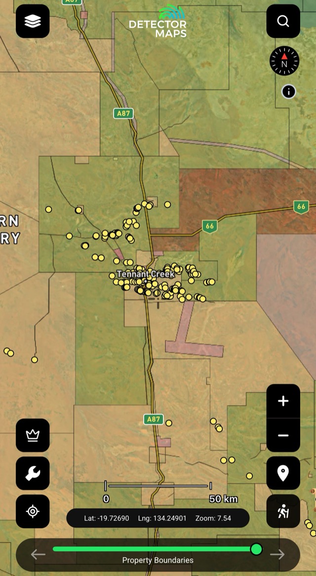
Property Boundaries
Parcel boundaries with property names and info — tap a parcel for details. Private land needs the owner's permission.

Historic Gold Occurrences & Nuggets
Official records of past gold finds, old mines and workings — plus reported locations of larger nugget finds. Turn this on first to choose a general area, then stack geochemistry, geology and geophysics to pick your targets.
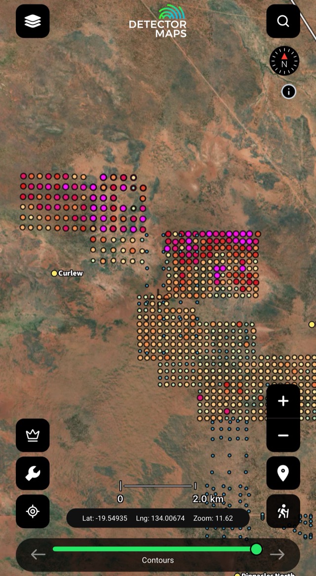
Soils
Gold concentrations in soil samples — look for trends that suggest gold nearby. Compare with geology and geophysics.
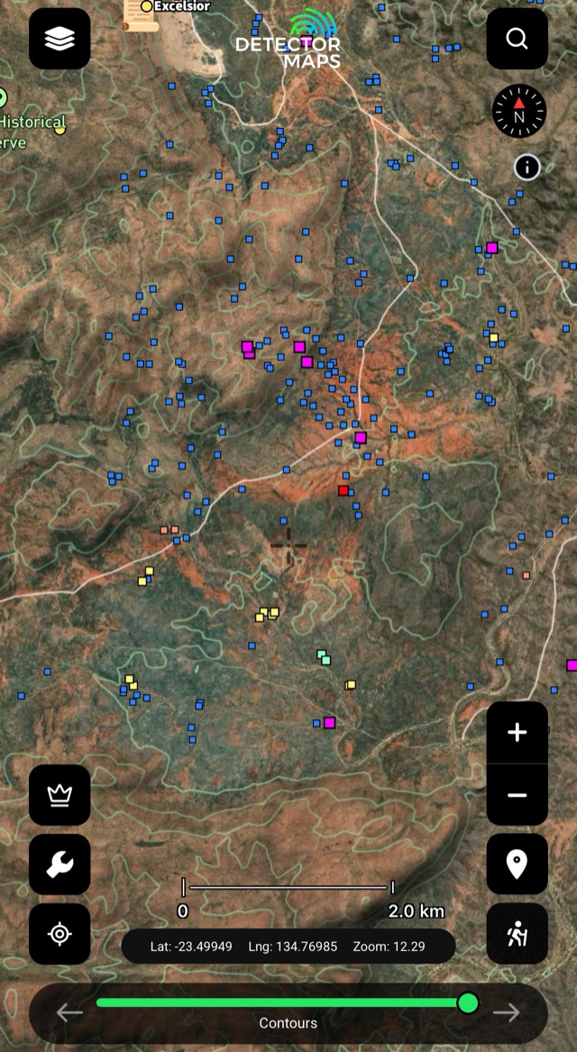
Streams
Creek-sediment gold in ppb — a strong result means a source upstream. Work upstream, focus on bedrock and crevices.

Rock Chips
Gold in exposed rock, in ppm. Visit readings over 10ppm and look along strike of the mineralised sample.
Old mines and workings are clues, not places to enter. Keep a safe distance from shafts and unstable ground.
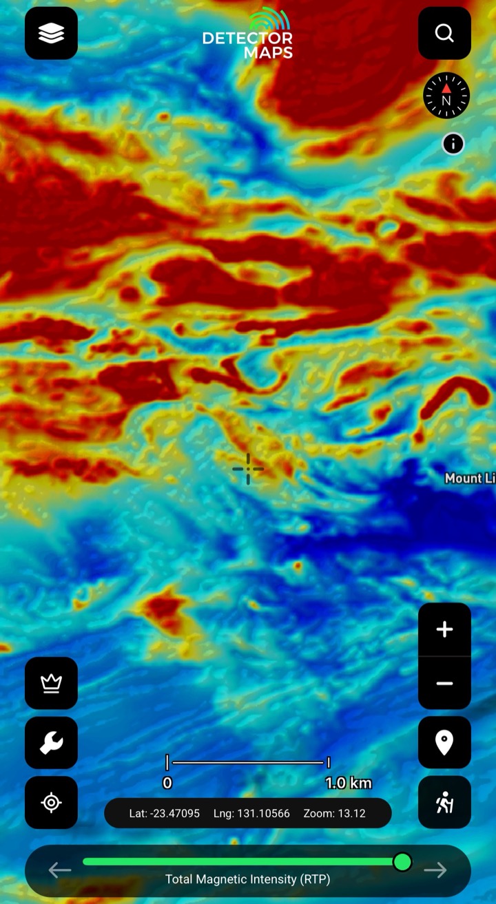
Magnetics (RTP)
Total magnetic intensity reduced to pole — the bedrock and its strike across the Territory. Some rocks and magnetic features host gold; compare with geochemistry and historic occurrences to find trends nobody's detected.
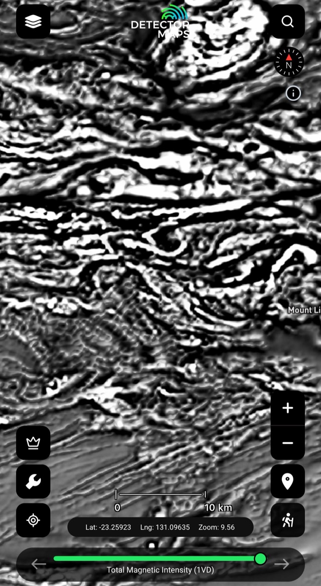
Magnetics (1VD)
First vertical derivative — edges, breaks and lines in shallow magnetics. Compare with RTP and geology.
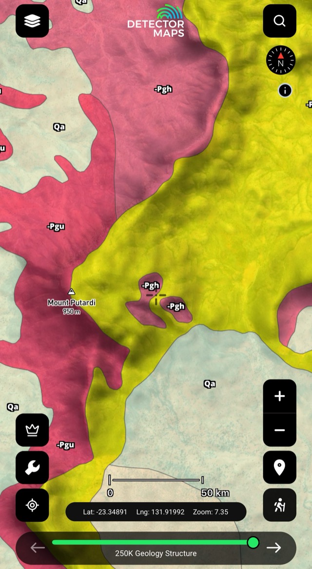
Regional Geology
Territory-scale rock types and major structures — the 'why here' context. Pay attention where units meet or lines change direction.

Contours
Lines of equal height — read the ground, spot gentle slopes and flats near your leads.

Watercourses
Creeks, rivers and drainage lines — where material moves and settles. Use with topography to read bends, junctions and gentle flats.
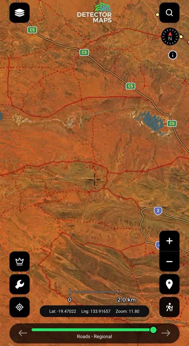
Roads — Regional
The regional road network — safer trip planning with easy access and exit routes. Plan parking spots and simple walks to your targets.

250k Topography
Territory-wide topographic basemap — clear navigation and landform context. Plan drives and walks before you head out.
The access conversation happens at home, not at a locked gate. Rules vary by state — we link to the relevant government page in-app.