 Detector Maps
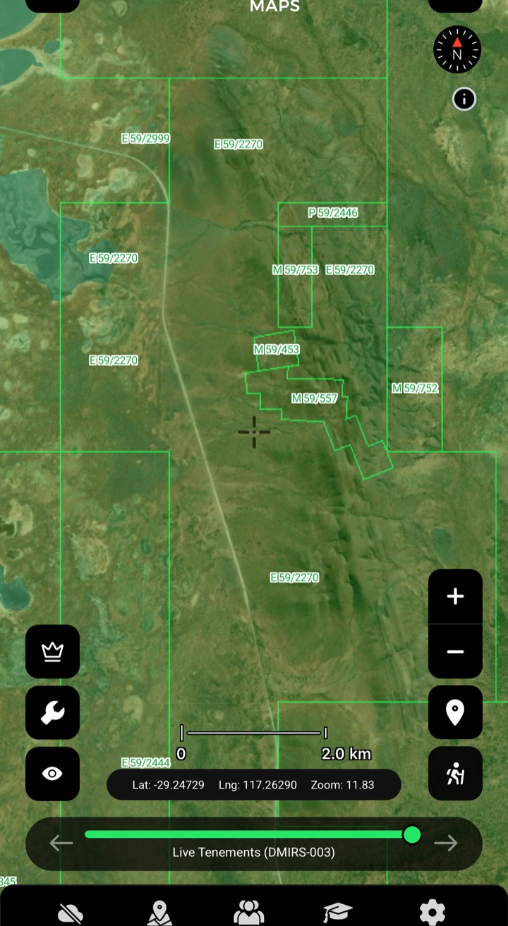
Live Tenements
Granted prospecting, exploration and mining leases. Always turn this on before planning your trip. Granted exploration tenements may need a Section 40E Permit or written consent. Live leases are out of bounds.
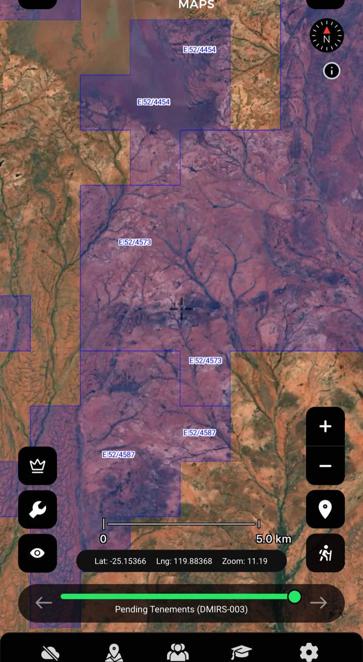
Pending Tenements
Tenement applications that haven't been granted. Pending ground is available to prospect on, providing there's no overlapping live lease. Double-check the status closer to your trip.

Dead Tenements
Expired and surrendered ground — see where leases have dropped and country has opened up.
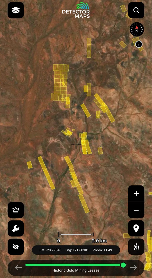
Gold Mining Leases
Out of bounds — but a strong signal of serious gold country nearby.

Pending Release & Amalgamation
Ground in the release pipeline — watch country before it opens.
Section 40E: detecting on granted exploration ground often needs a 40E permit or written consent — if your spot sits on one, apply and follow the conditions. Section 19 areas are off-limits; we map them so you avoid them.
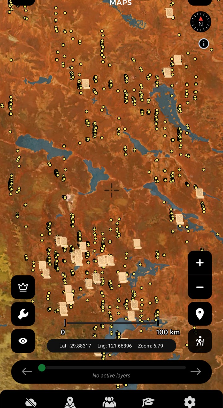
Historic Gold Occurrences & Nuggets
Official records of past gold finds, old mines and workings — plus reported locations of larger nugget finds. Turn this on first to choose a general area, then stack geochemistry, geology and geophysics to pick your targets.
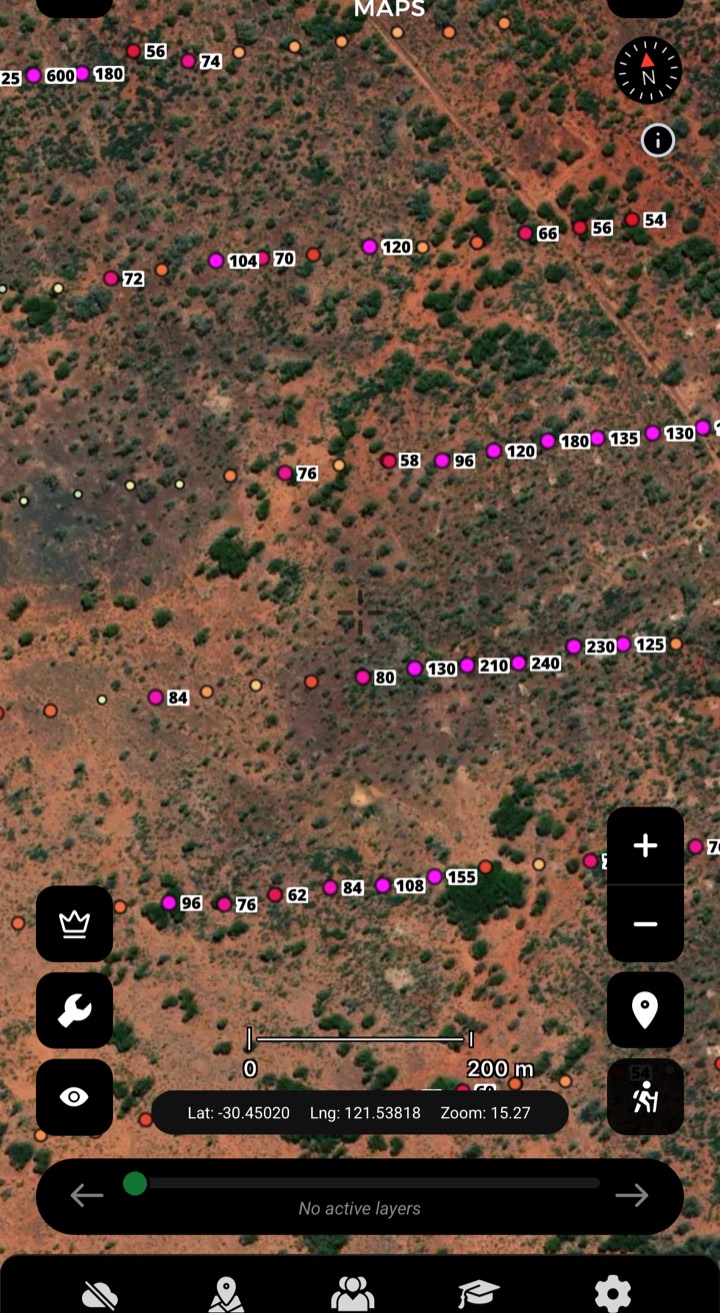
Soils
Gold in soil samples from exploration companies. Look for trends that suggest gold nearby.
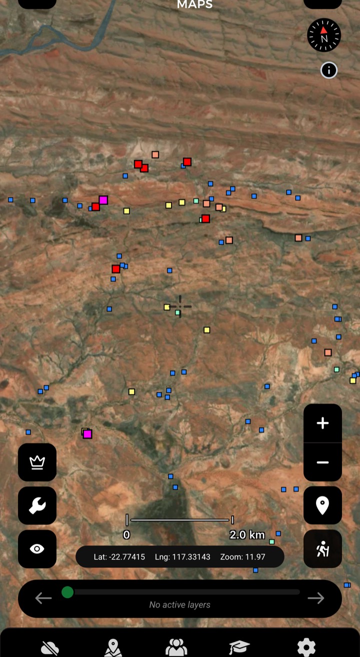
Streams
Creek-sediment gold in ppb — a strong result means a source upstream. Work upstream, focus on bedrock.
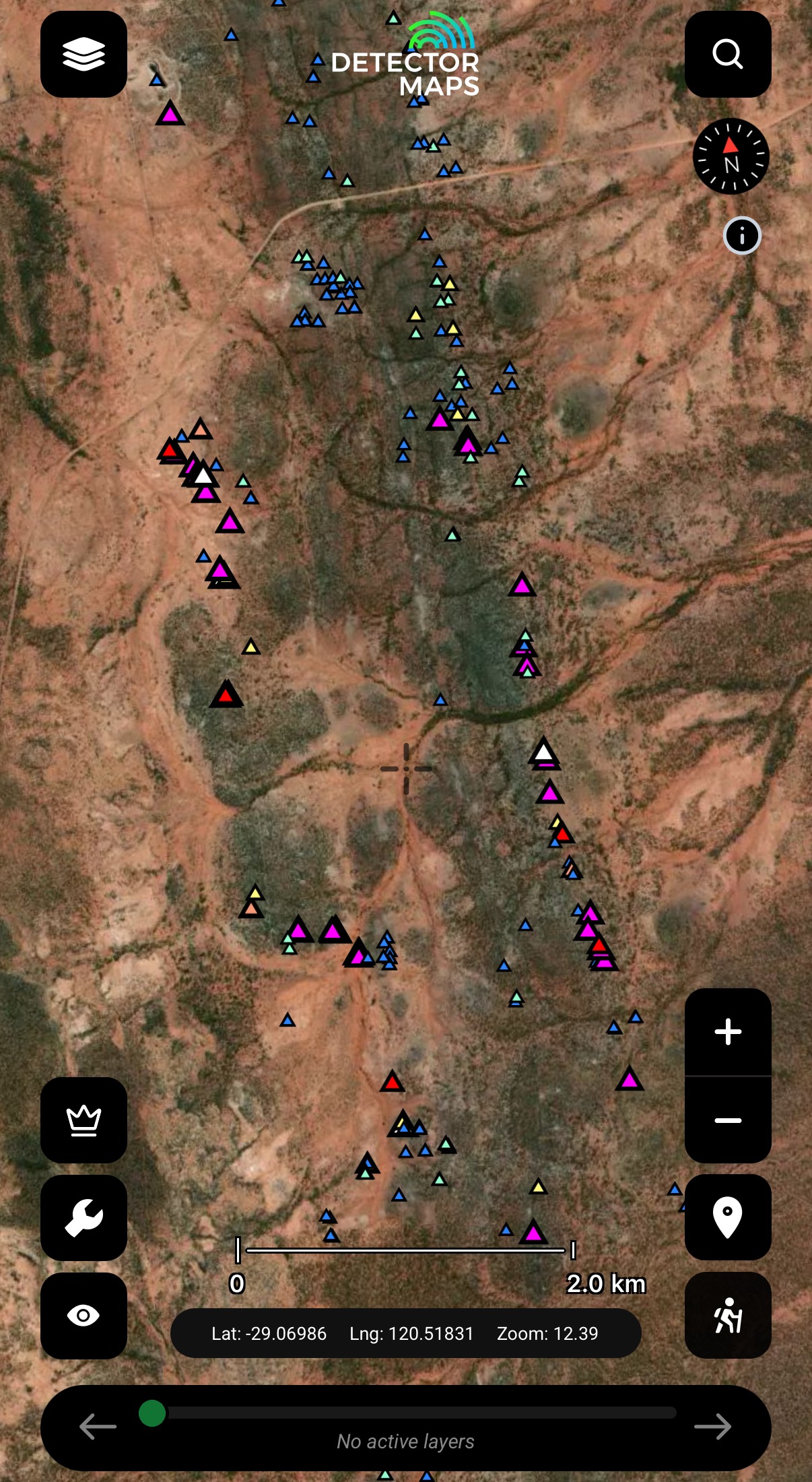
Rock Chips
Gold in exposed rock, in ppm. Visit readings over 10ppm and look along strike.
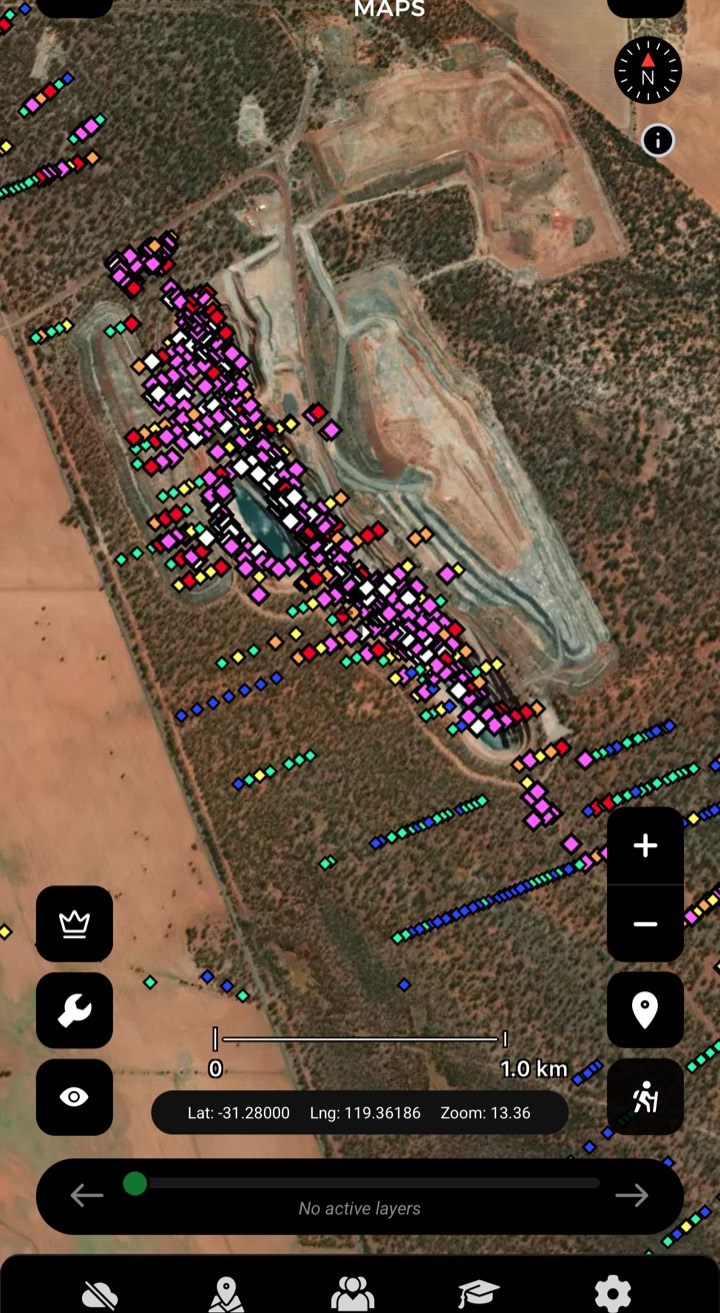
Max Downhole Gold
Highest gold value per drillhole — where explorers committed. Note samples over 30ppm Au.
Abandoned mines are clues, not places to enter. Keep a safe distance from shafts and unstable ground. Obey all signs.
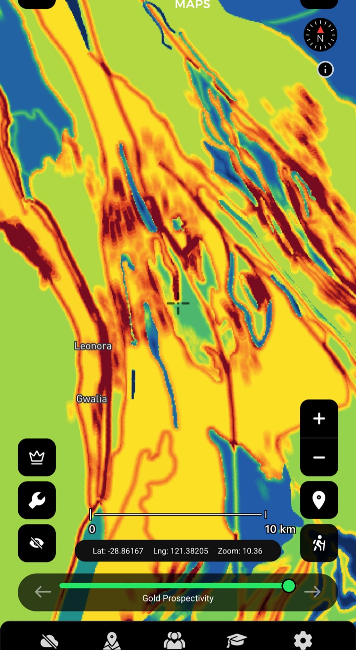
Gold Prospectivity
A gold prospectivity layer for WA — a head start on where to look. Stack it with magnetics, geology and your historic layers to make targets nobody else has marked.
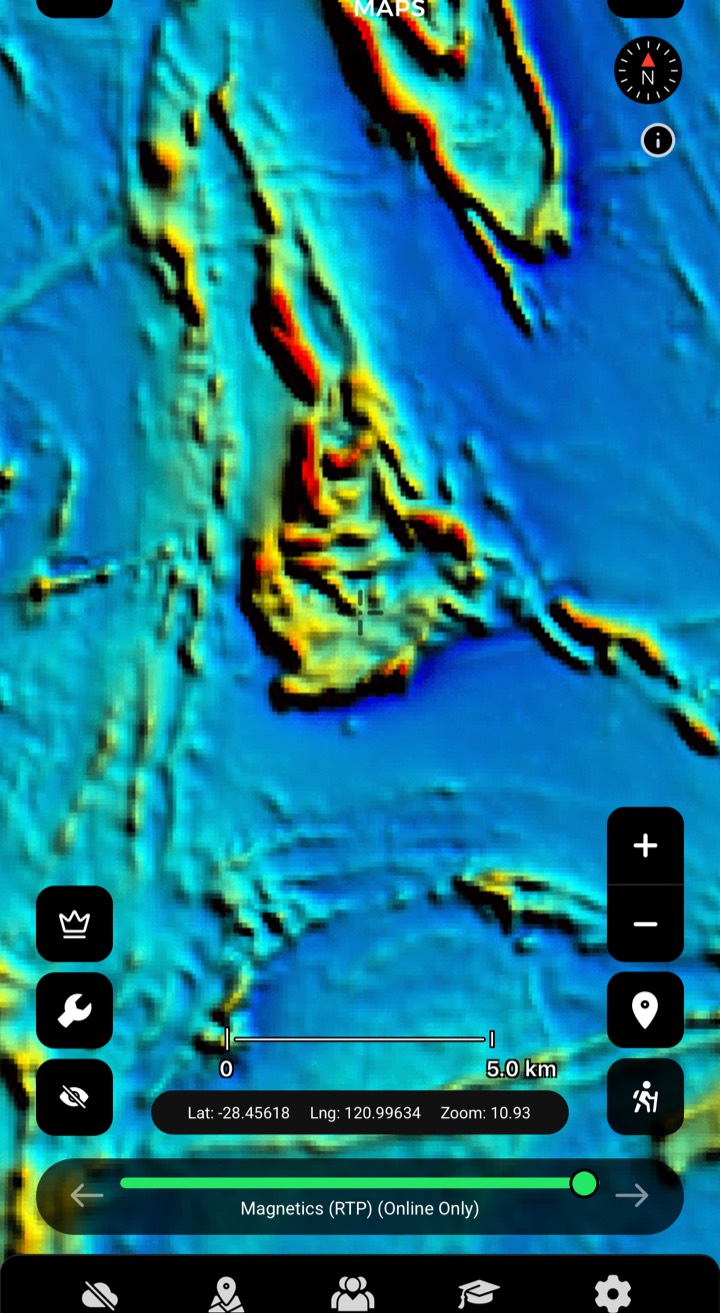
Magnetics (RTP)
Total magnetic intensity reduced to pole — the bedrock and its strike. Some rocks and magnetic features host gold.

Magnetics (1VD)
First vertical derivative — edges, breaks and lines in shallow magnetics. Compare with RTP and geology.

Radiometrics
Radiometric imagery — another geophysical lens on what the ground is made of.
And the full WA geology stack — statewide bedrock down to 1:100k sheet detail, layered under your targets.
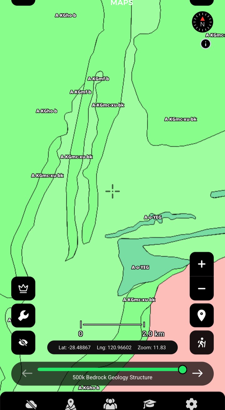
Interpreted Bedrock (500k)
Rock types and features beneath the soil. Focus where rock types meet or lines change direction.

100k / 250k Surface Geology
Big picture to local detail. A- and P-prefixed units are your source rocks.
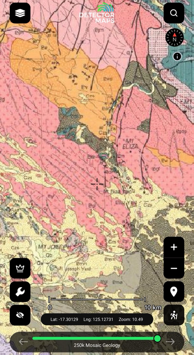
Mosaic Geology
Seamless across map sheets — follow features long distances.
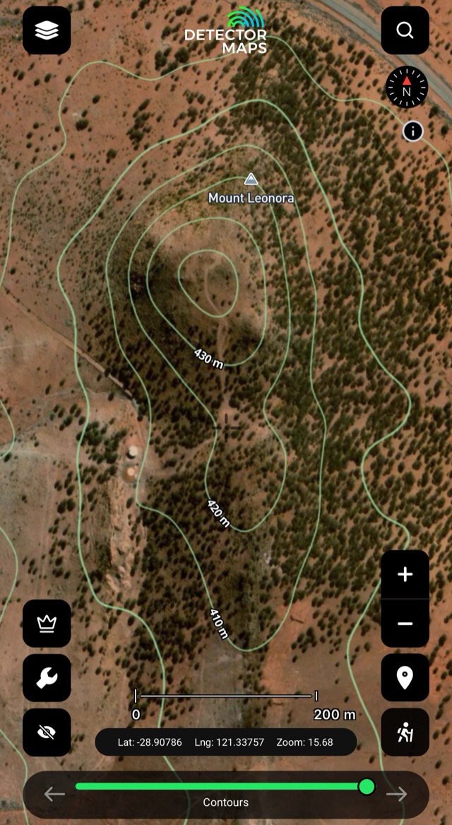
Contours & Topography
Read where water slows and material settles. Plan drives and walks.
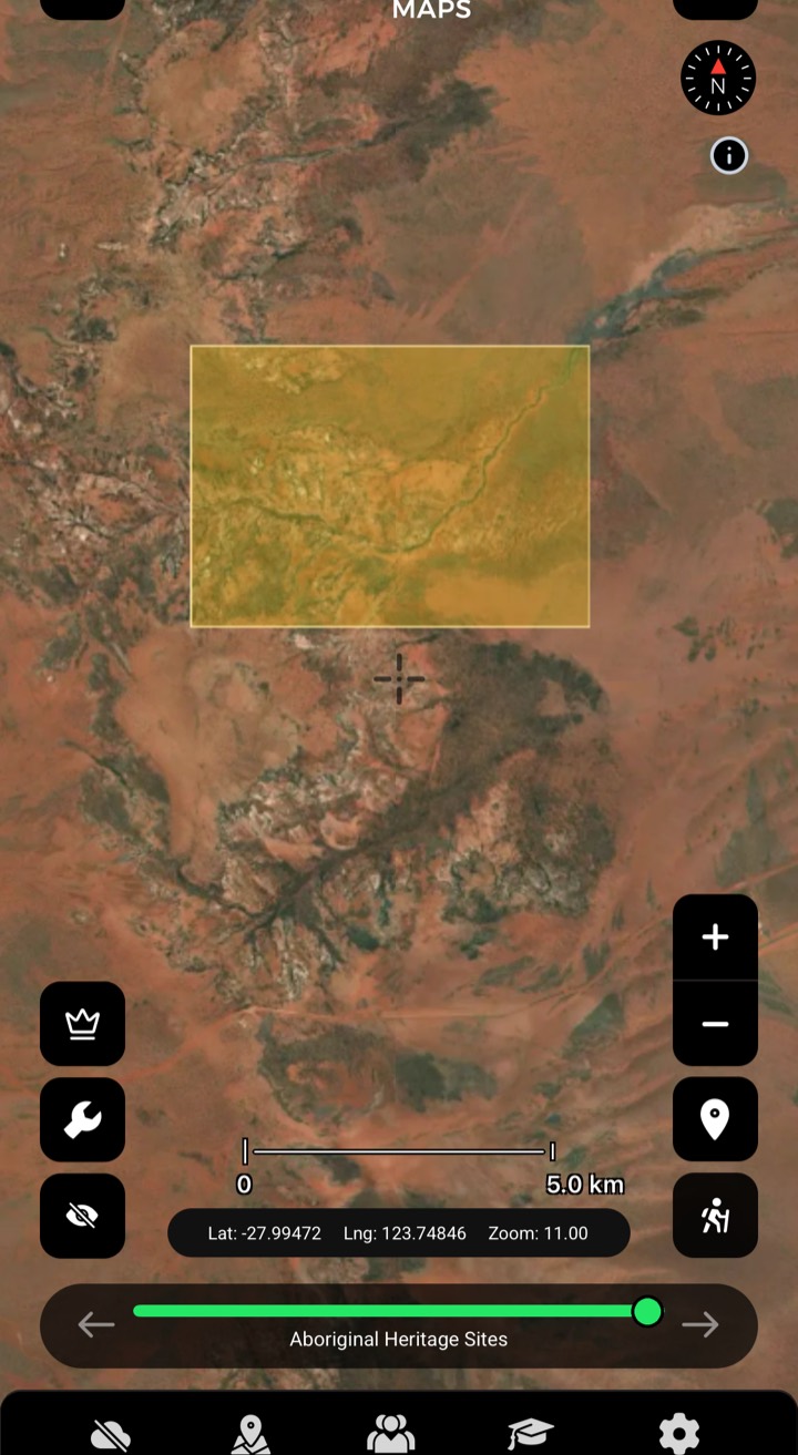
Aboriginal Heritage
Heritage places mapped so you can plan around them with respect.
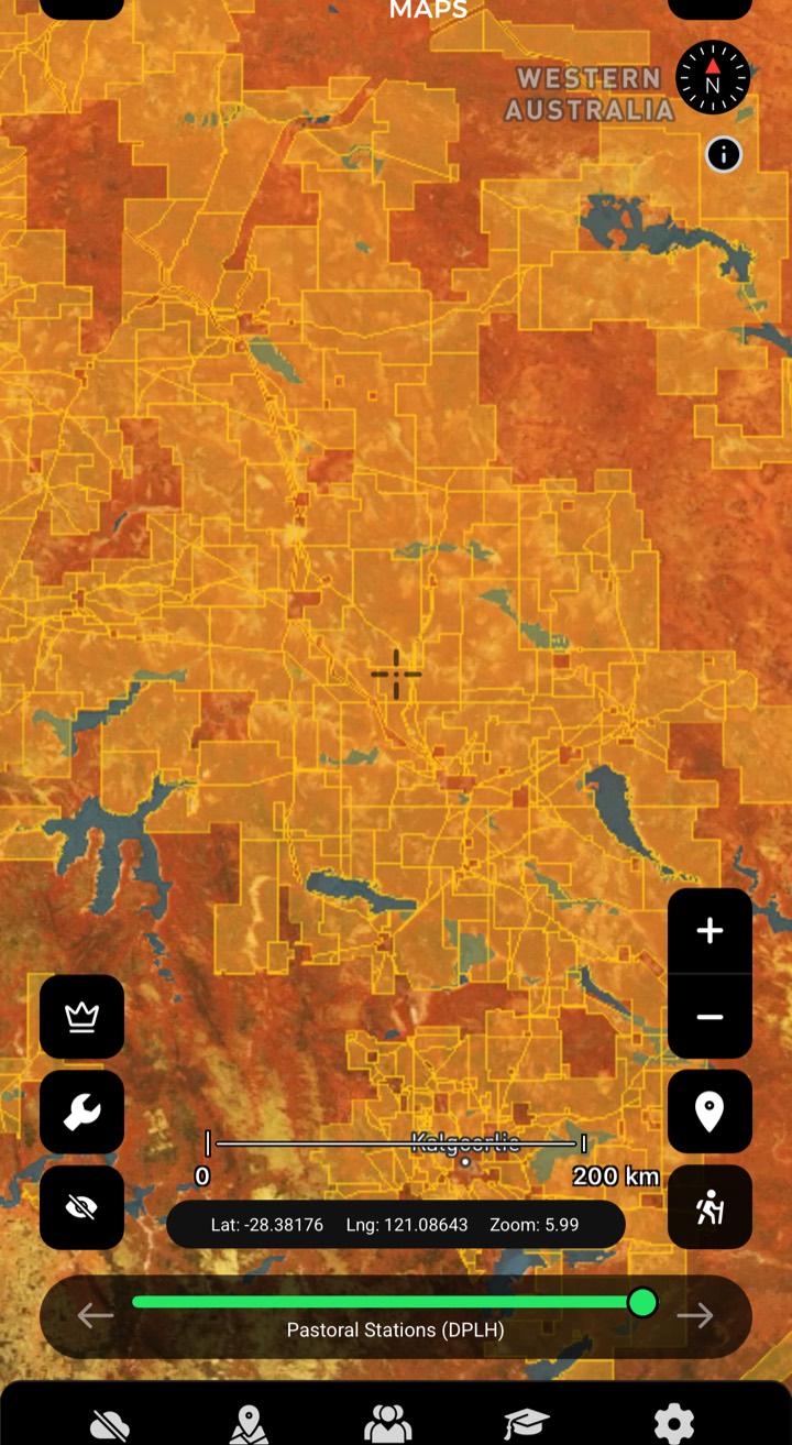
Pastoral Stations
Station boundaries — know whose ground you're crossing before you ask.
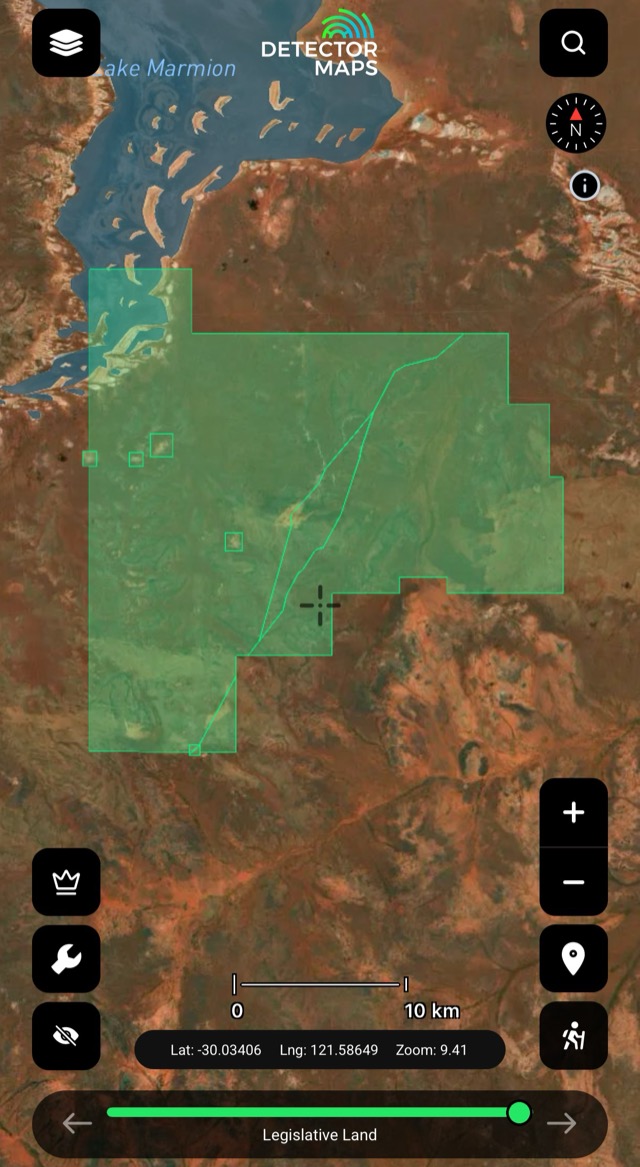
Legislative Land
Parks, reserves and designated land boundaries, mapped against your targets.

Fire Hotspots
Fire hotspots on the map — check conditions before you head out.
The access conversation happens at home, not at a locked gate. Rules vary by state — we link to the relevant government page in-app.


