 Detector Maps
LiDAR — not yet
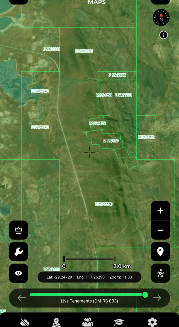
Kalgoorlie to the Pilbara — see where the old-timers dug and which ground is open today.
- Open ground, fresh every weekday
- Section 40E boundaries, mapped
- A century of Goldfields workings
LiDAR live — $100/yr
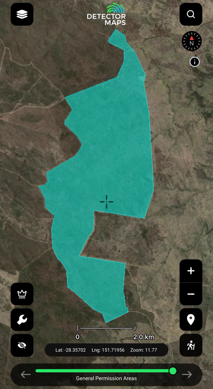
Palmer River, Gympie, Charters Towers — and the ground you're legally allowed to work.
- Where you can legally dig
- Bare-earth view under the scrub
- Pegged ground checked by 6am
LiDAR live — $150/yr
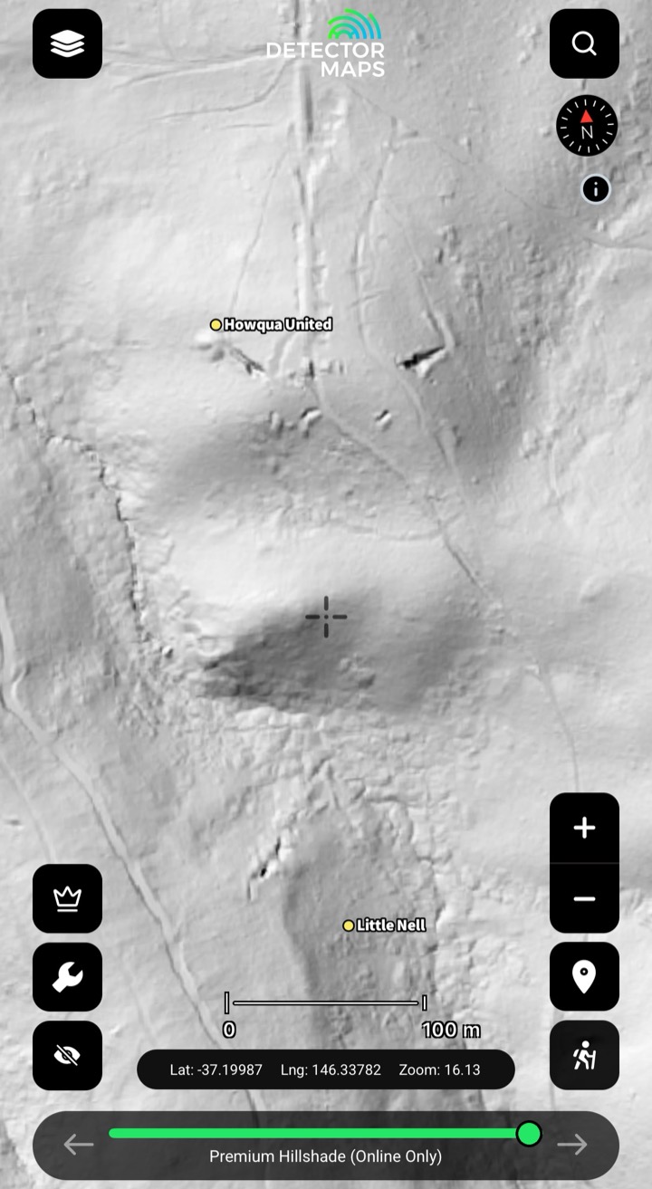
The Golden Triangle's shafts and leads, mapped from Bendigo to Ballarat — pick your patch.
- Every shaft the old-timers sank
- Alluvial leads under the box-ironbark
- Know what's pegged before driving

LiDAR live — $40/yr
Hill End, Bathurst, Orange — a century of workings and the ground still open to swing.
- 100yr+ of workings, mapped
- Fossicking districts, simple rules
- Open ground, fresh each morning

LiDAR live — Free
Mathinna and Lefroy gold country, with the legal access areas drawn on the map.
- Prospecting access areas, marked
- Mathinna's old workings mapped
- Live tenements, every weekday

LiDAR — not yet
Echunga and Teetulpa mapped — with magnetics to read what's under the deep cover.
- Magnetics through the deep cover
- Gold assays statewide
- Open ground, checked each weekday

LiDAR — not yet
Pine Creek to Tennant Creek — fossicking ground you can walk onto, marked.
- Declared fossicking areas, marked
- Gold geochem
- Pegged ground, fresh by 6am
Explore
Explore the other layers.
1-metre LiDAR hillshadeSee the ground the bush is hiding.Explore →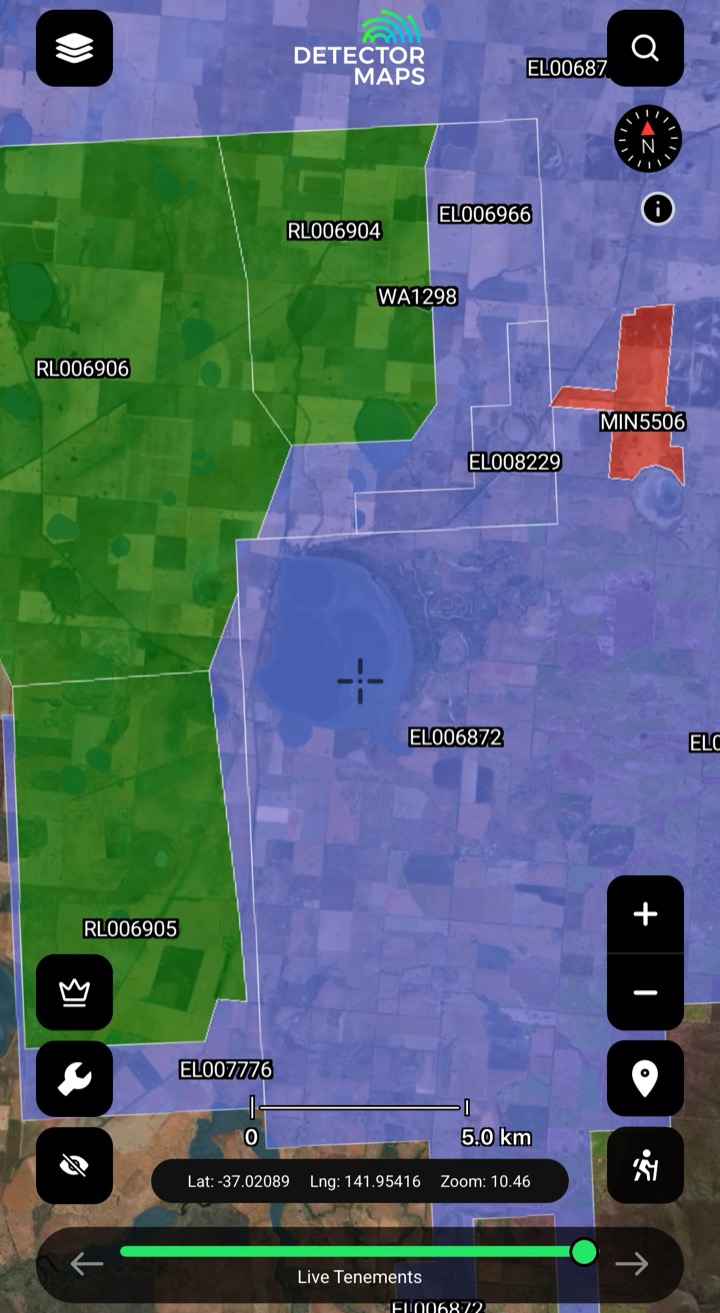 Live & historic tenementsKnow whose ground you're on.Explore →
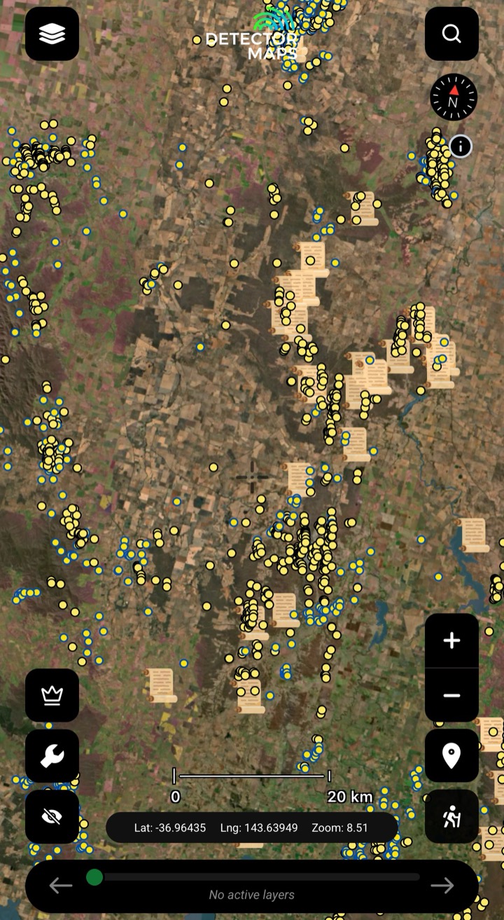 Historic workingsStart where gold's come out.Explore →
 Surface geochemistryDig where the chemistry says gold.Explore →
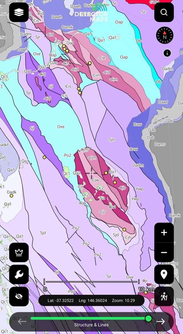 Bedrock geologyRead the host rocks.Explore →
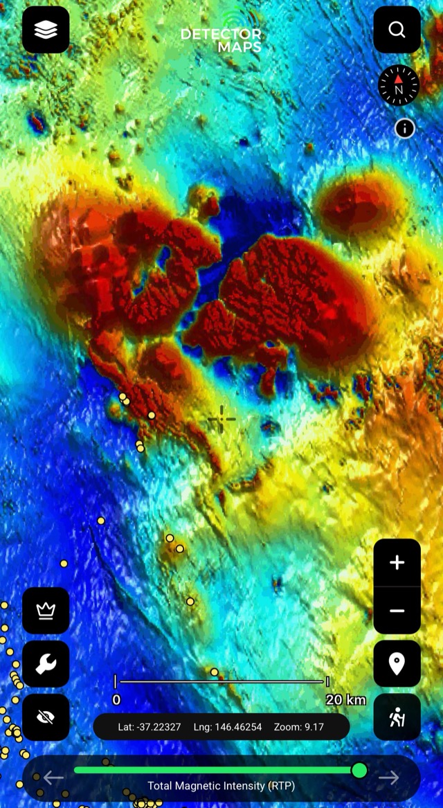 Airborne magneticsRead the basement structure.Explore →
 Offline gold mapsTake it bush with zero bars.Explore →
Join 10,000+ prospectors reading the ground together4.7/5 · 1,548 ratings


