Detector Maps
RTP and 1VD magnetics trace the faults, contacts and strike of the magnetic bedrock, so you can read the structure where surface mapping runs out — then plan your ground around it.
3-day free trial · Nothing charged until it ends · Cancel anytime
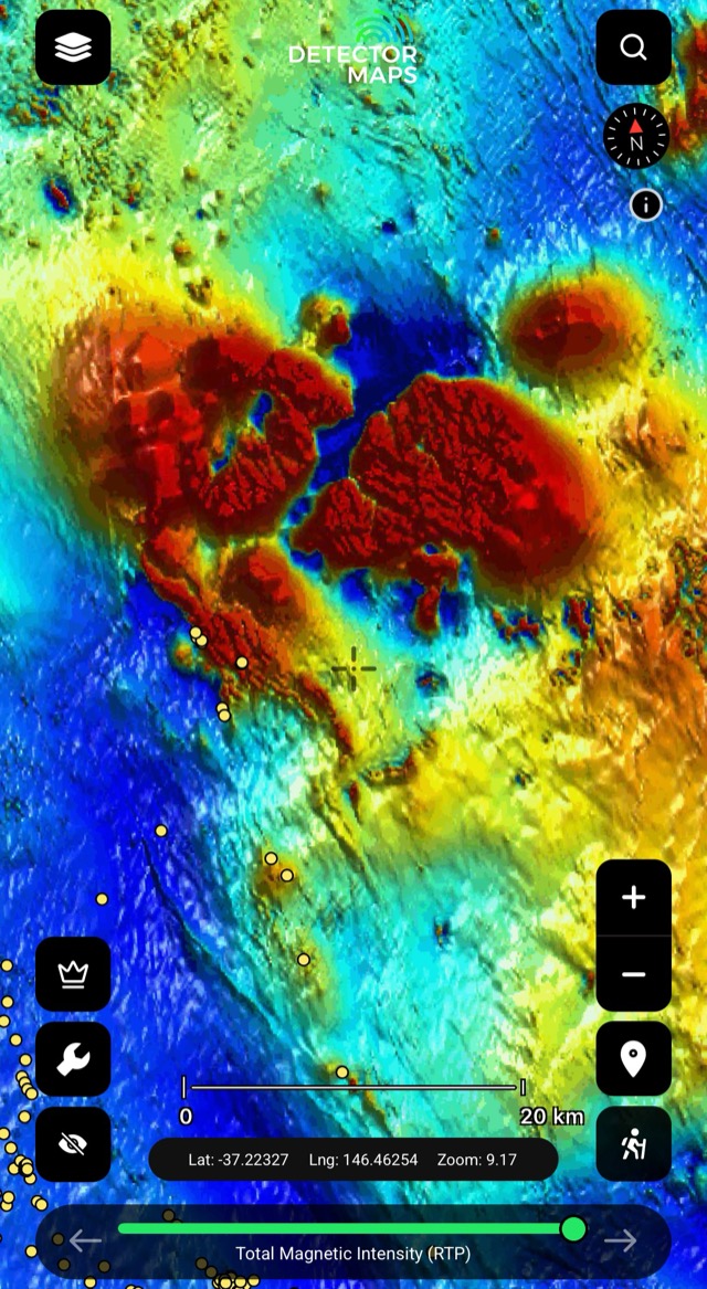


Magnetics is airborne geophysics — total magnetic intensity flown over the state, then processed into reduced-to-pole (RTP) and first-vertical-derivative (1VD) images that show the magnetic bedrock and its structure beneath the soil; sourced from each state’s geological survey, with radiometrics as a third geophysical lens in the states where it’s flown (WA and QLD only in current state copy).
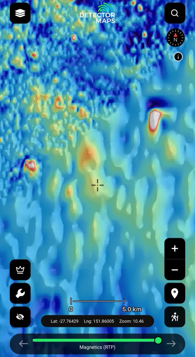
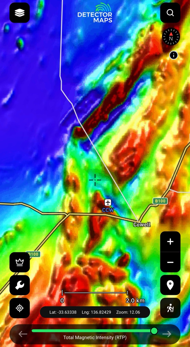
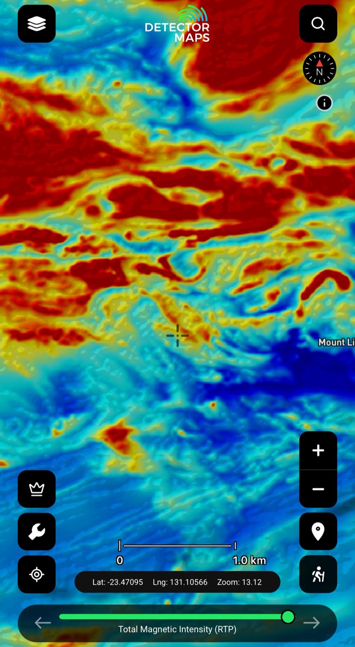
RTP magnetics shows the magnetic bedrock and the direction it runs — the structure under the soil that surface mapping can't reach. Some rocks and magnetic features host gold, so read where the grain bends or breaks.
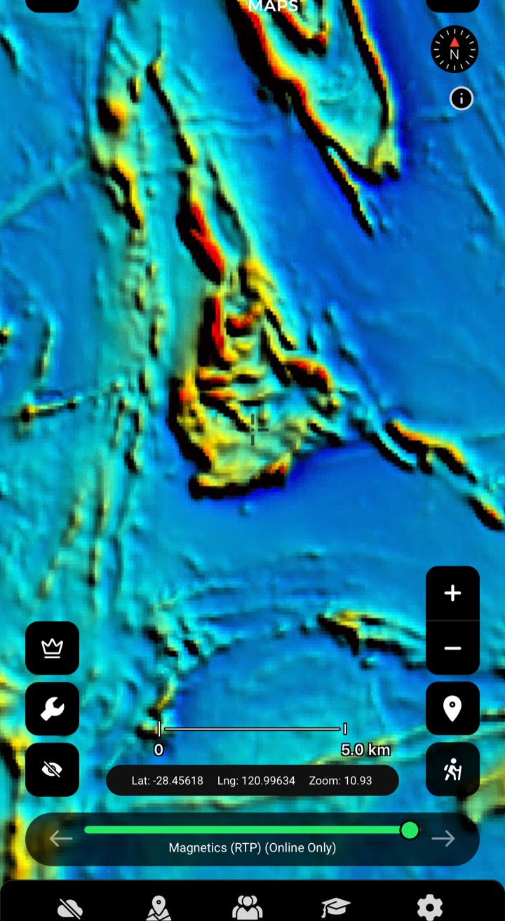
1VD sharpens the edges — the lines, offsets and contacts in shallow magnetics. Trace a structure across the ground and check where it crosses your historic and geochem leads.
Where surface geology runs thin, magnetics still reads the bedrock structure beneath — so you can keep following the trend instead of guessing past it.
Stack RTP, 1VD and radiometrics with geology, geochemistry and historic workings on the one map, so structure, chemistry and the old diggings line up before you narrow your ground.
They’re two ways of imaging the same airborne magnetic survey. RTP (reduced to pole) repositions the magnetic field so features sit over their source, giving you a clean read of the bedrock and its strike. 1VD (first vertical derivative) sharpens the shallow detail — the edges, faults and contacts. You read them together: RTP for the big structure, 1VD for the breaks and lines.
It lets you read structure, not gold. Magnetics shows the faults, contacts and rock units under the surface — and some rocks and structures are associated with gold. You use it to narrow your ground and cross-reference geology, geochemistry and historic workings; no map can promise gold, but reading the structure gets you to better country faster.
Magnetics is live across the mainland goldfields — WA, QLD, VIC, NSW, SA and NT (not Tasmania) — with radiometrics added in WA and QLD, where it’s flown. It isn’t on every layer in every state. Where it’s not yet live, leave your email and we’ll tell you the day it ships.
Radiometrics is another geophysical lens — imagery of the ground that reads what the surface is made of. Pair it with magnetics and geology for a fuller picture of the country. It’s currently in WA and QLD.
Yes. The layers are processed and ready to read — RTP for the bedrock and its strike, 1VD for the breaks and lines. You don’t need to process the survey yourself; switch it on, follow the structure, and stack it with your other layers. It works offline too, so the geophysics rides along with no signal.
Explore
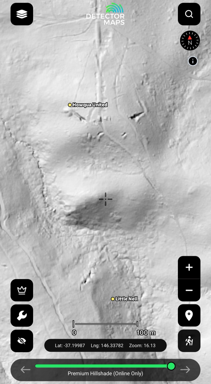
1-metre LiDAR hillshadeSee the ground the bush is hiding.Explore →
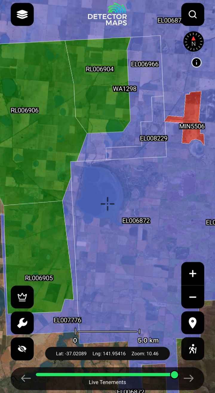
Live & historic tenementsKnow whose ground you're on.Explore →
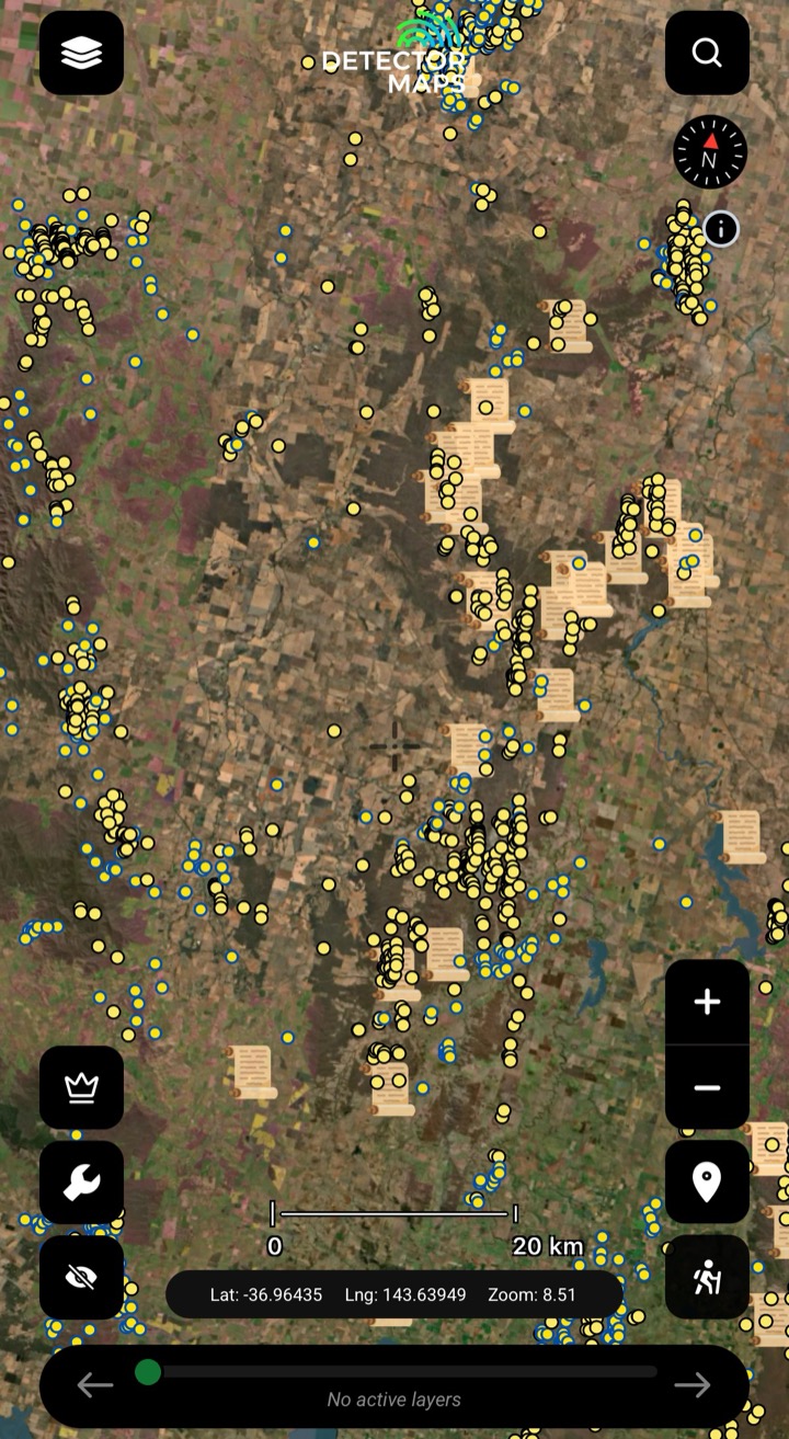
Historic workingsStart where gold's come out.Explore →
Surface geochemistryDig where the chemistry says gold.Explore →
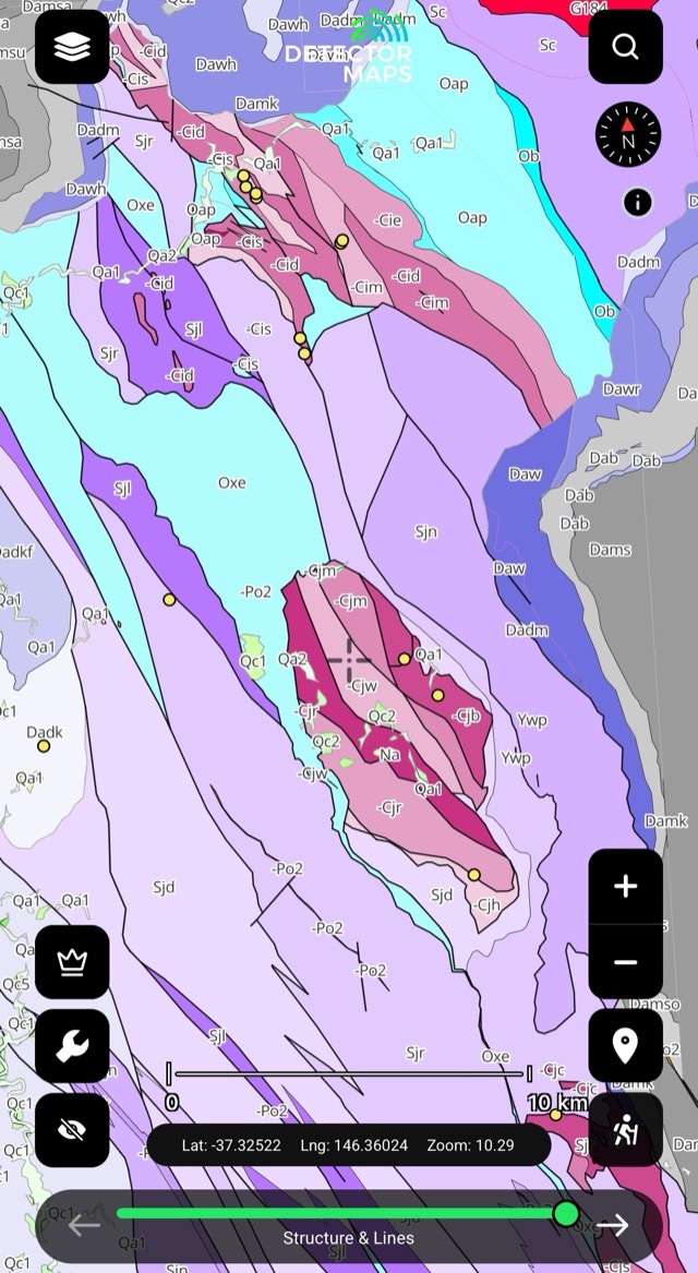
Bedrock geologyRead the host rocks.Explore →
Offline gold mapsTake it bush with zero bars.Explore →3-day free trial· Nothing charged until it ends· Cancel anytime
3-day free trial · Nothing charged until it ends · Cancel anytime
Prospect smarter, not harder. Built in Queensland.
Trip reports, layer updates, the occasional gold-find email. No spam.
© 2026 Gold Discovery Solutions Pty Ltd