Detector Maps
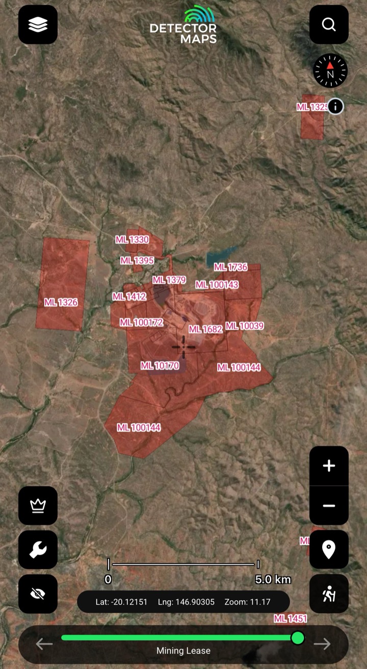
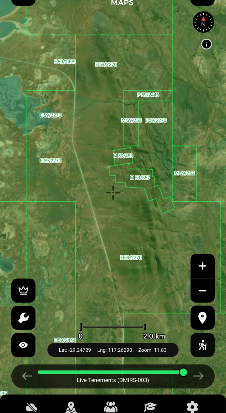
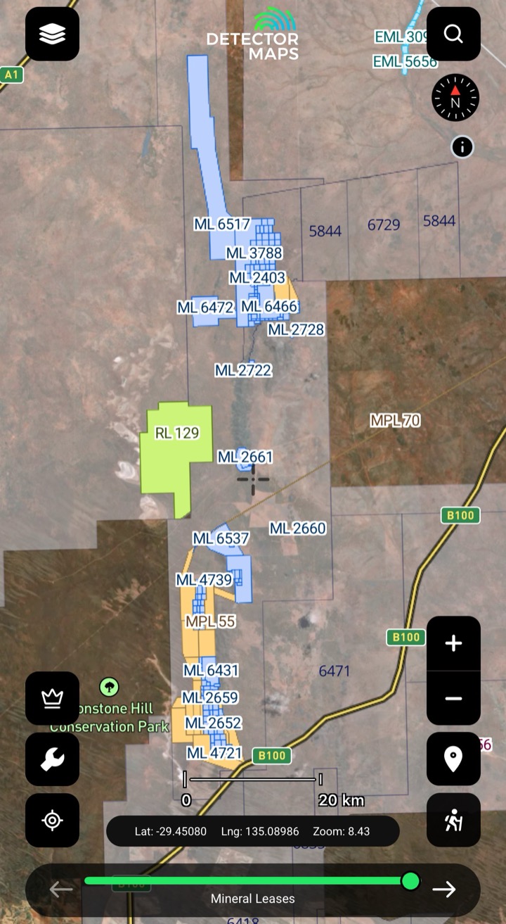
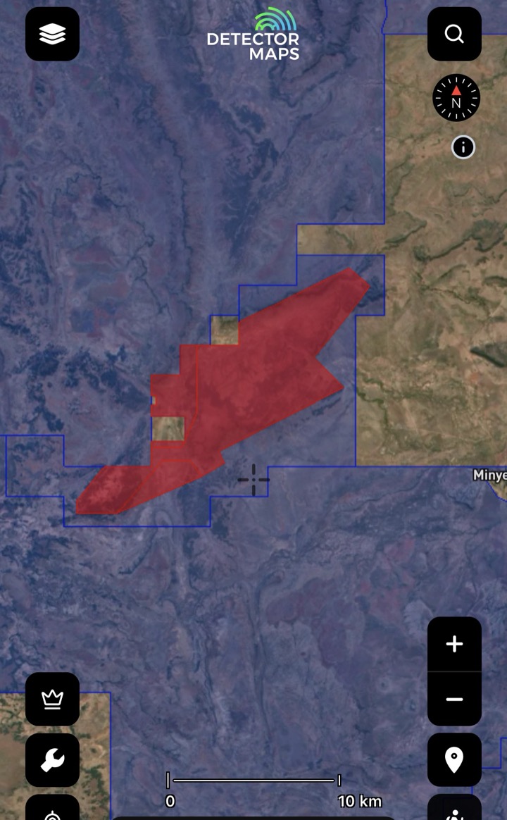
Leases, licences and applications, tap-to-check. Every polygon shows the holder, the status and a link to the official record — so you know whose ground you're standing on before you ever unpack the coil.
3-day free trial · Nothing charged until it ends · Cancel anytime
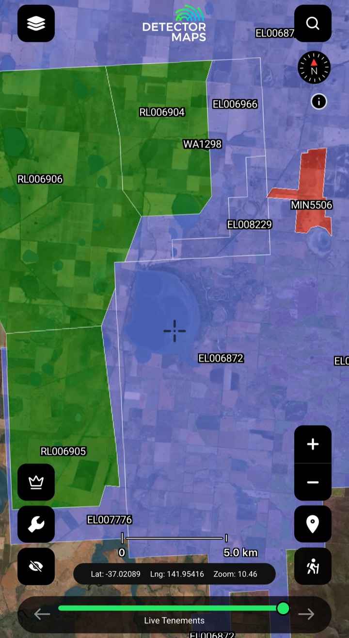


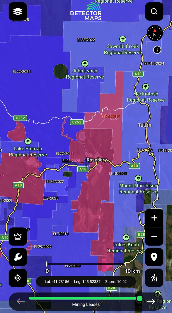
Tenements are the mining leases, exploration licences and live applications recorded by each state’s mining department — Detector Maps maps every polygon, colour-codes it by status, and links each one back to the official government register.
Tap any polygon to read its holder, status and the official record link before you commit three hours of fuel — no more arriving to find it was pegged last Tuesday.
With live and pending tenements colour-coded, the gaps between them read at a glance — so you can narrow in on ground that isn't already held. Always confirm a parcel's current status against the official register before you act on it.
A tenement is someone else's title, not public land. Know the boundary and check your state's fossicking access and Miner's Right rules before you swing. A guide, not legal advice — we link the government page in-app.
Pro watches the registers daily and flags new applications, expiries and full or partial relinquishments with the freed-up area mapped — a daily digest plus a push the moment it happens, so you read the changes the morning they land, not weeks later.
The tenement layer shows you the register today. Pro watches it for you — new applications, expiries and relinquishments — and tells you the moment ground opens, with the freed-up area mapped.
New pegs, expiries, full & partial relinquishments — tracked every day.
A daily summary, plus a native notification the moment a change lands.
Every alert comes with its own map of exactly what opened.
A tenement is a granted mining or exploration title held by someone else — it is not public land, and detecting on it without permission can mean trespass. Detector Maps shows you the holder, the status and the boundary so you can check before you go, and links the official record in-app. It’s a guide to help you stay legal, not legal advice — rules vary by state, so always confirm your access and Miner’s Right requirements with the relevant government source.
Tenements are refreshed every weekday morning, roughly between 4 and 6am local time, state by state — so when a register changes, the map follows close behind.
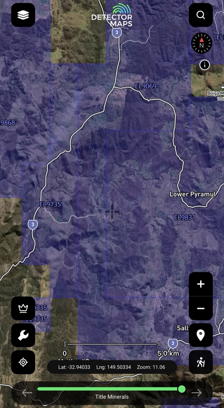
Broadly: a mining lease grants the right to mine, an exploration licence grants the right to explore, and an application is ground someone has applied for but doesn’t yet hold. Detector Maps colour-codes each status so you can read live, pending and open ground at a glance.
With every live and pending tenement drawn and colour-coded, the un-held gaps between them stand out, so you can narrow your search to ground that isn’t already taken. Always confirm a parcel’s current status against the official register before you act on it.
The tenement layer is live across the major Australian gold states, with each polygon linking back to its state mining department’s official record — so you’re always one tap from the authoritative source.
Explore
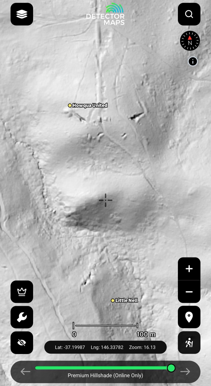
1-metre LiDAR hillshadeSee the ground the bush is hiding.Explore →
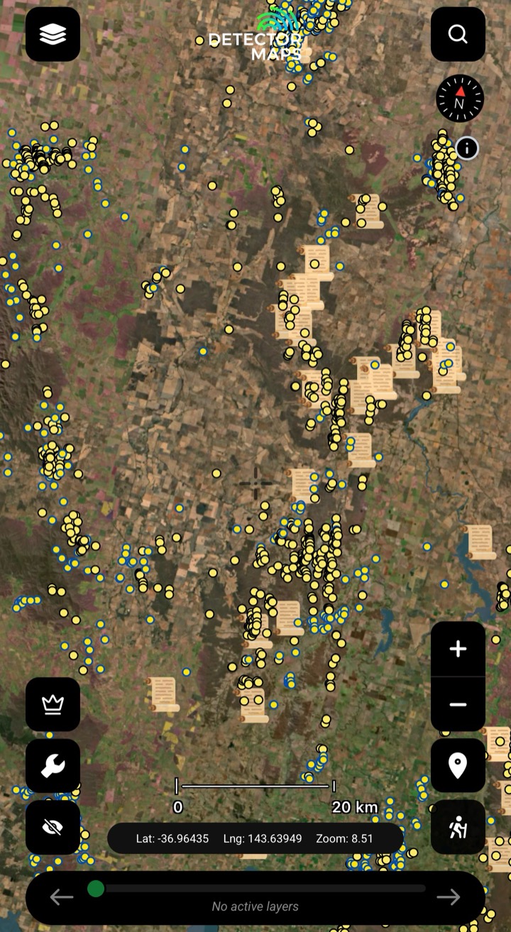
Historic workingsStart where gold's come out.Explore →
Surface geochemistryDig where the chemistry says gold.Explore →
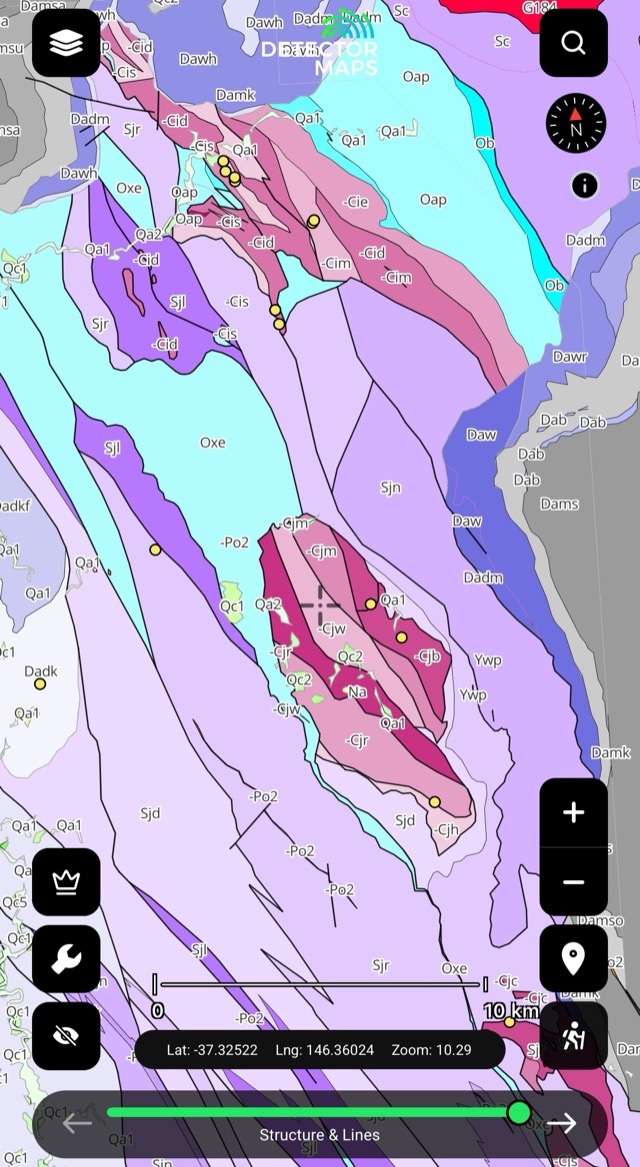
Bedrock geologyRead the host rocks.Explore →
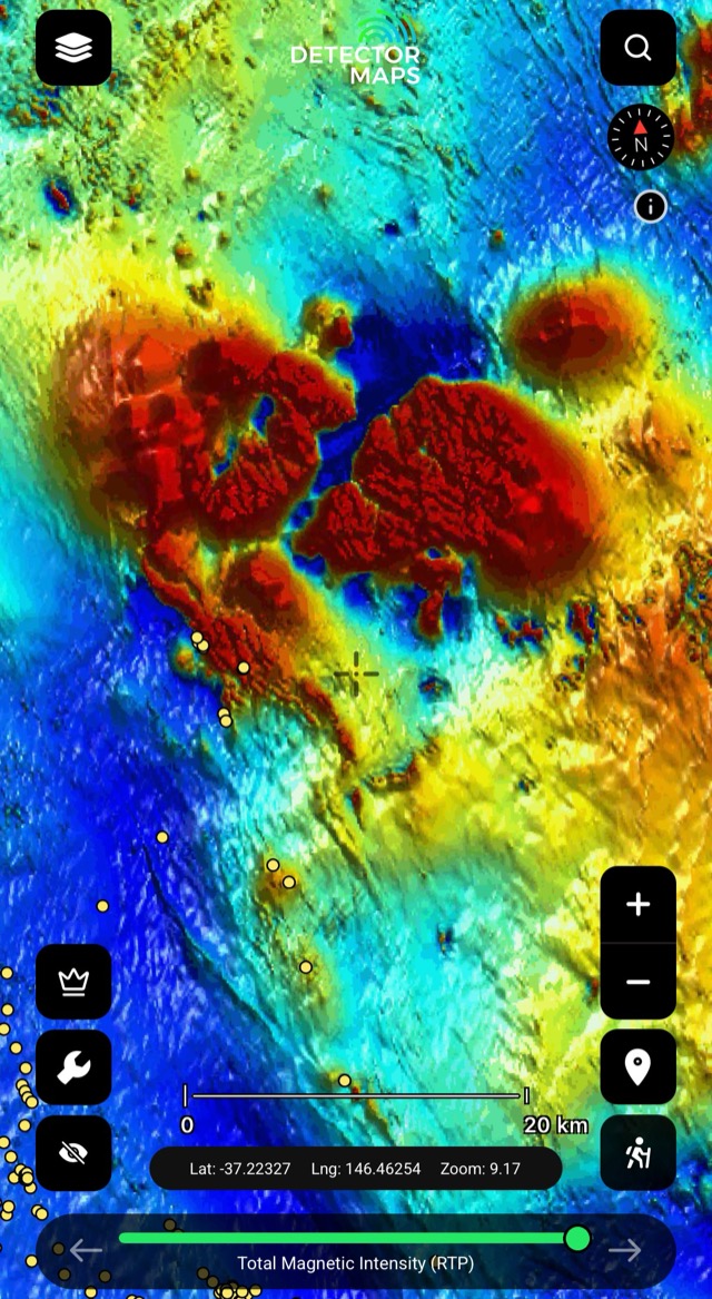
Airborne magneticsRead the basement structure.Explore →
Offline gold mapsTake it bush with zero bars.Explore →3-day free trial· Nothing charged until it ends· Cancel anytime
3-day free trial · Nothing charged until it ends · Cancel anytime
Prospect smarter, not harder. Built in Queensland.
Trip reports, layer updates, the occasional gold-find email. No spam.
© 2026 Gold Discovery Solutions Pty Ltd