WORKINGS MAPPED FROM STATE SURVEYS· EVERY ICON LINKED TO ITS RECORD· AU EDITION

Historic Gold Workings Maps (100yr+)

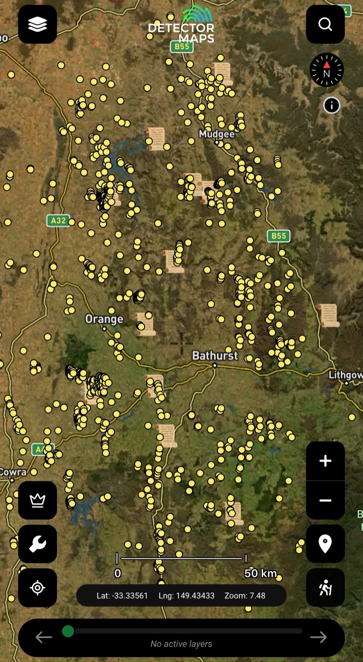
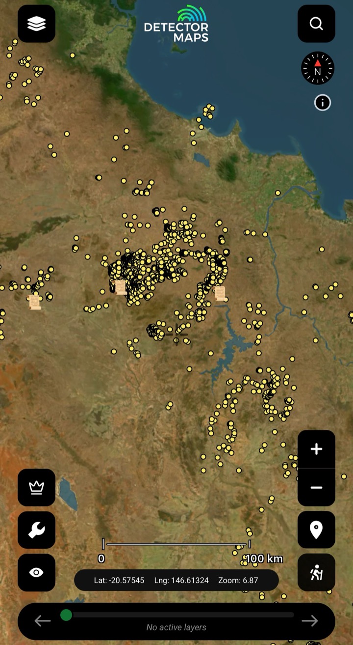
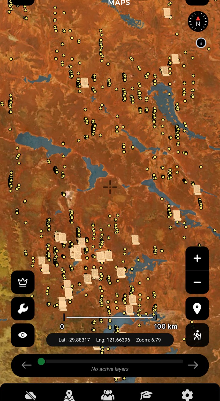
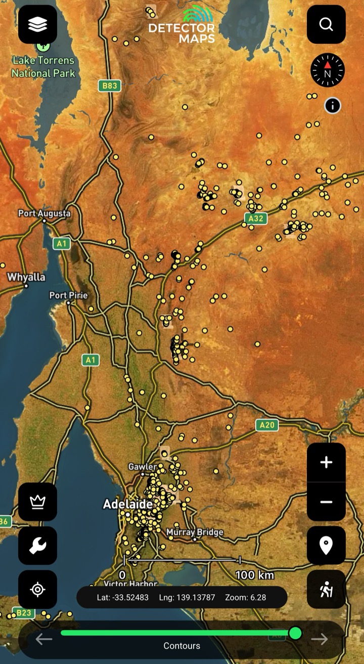
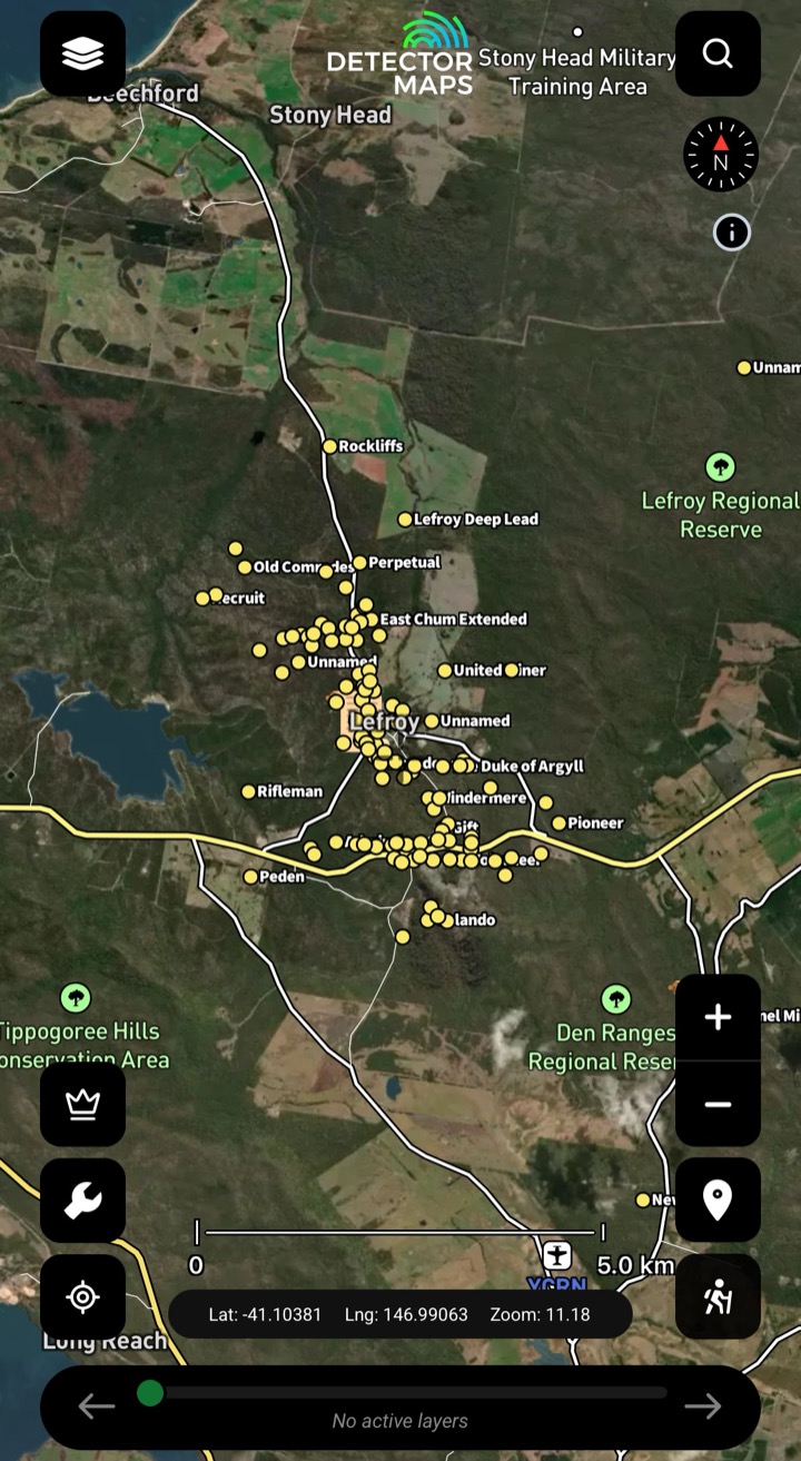
Geo-referenced shafts, alluvials and quartz reefs, every icon linked to its state geological survey record. Where the icons cluster, a goldfield reads. Stack LiDAR over the top and a worked goldfield can sharpen into a search target.

Start free trial

3-day free trial · Nothing charged until it ends · Cancel anytime
Victoria historic workings layerNew South Wales historic workings layerQueensland historic workings layerWestern Australia historic workings layerSouth Australia historic workings layerTasmania historic workings layerNorthern Territory historic workings layer
Victoria
What it is

The diggings, mapped

Historic workings are the diggings the old-timers left — shafts, alluvial diggings, costeans and quartz reefs — geo-referenced and each tapped to its state geological survey record, so you read where gold has already come out of the ground. Source line stated only once each state agency is confirmed mapped to the historic-workings layer.

What the layer shows you

Four ways prospectors put it to work

Read a goldfield

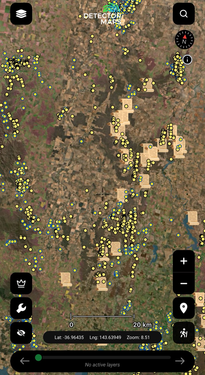
Where the icons cluster, a goldfield reads on the map. Spot the tight knots of old shafts and alluvial diggings and you know where the country has already given gold up.

Open the record

Tap any working to read its linked state geological survey record — the source document behind the icon, not a guess. Check what was worked, when, and what they pulled out before you walk in.

Stack with LiDAR

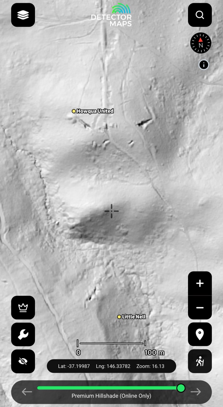
Lay the workings over a 1m bare-earth hillshade and the diggings line up with the ground that hides them. Cross-reference where-was-gold with what-the-bush-is-covering to help narrow a search target.

Narrow the missed ground

Plan around the gaps the old-timers walked past: read where a reef line might run between worked icons, mark the untouched gully between two diggings, and narrow your own search ground before you drive out. The map shows worked ground, not a guarantee of what's left.

FAQ

Historic Workings questions, straight answers.

They’re the diggings left behind by earlier miners — shafts, alluvial diggings, costeans and quartz reefs. Detector Maps geo-references each one and links it to its state geological survey record, so you can read 100yr+ of worked ground on the map and tap any icon for its source record.

Each working is plotted from its state geological survey record, so the icon sits where the survey placed it — not a paraphrase or a guess. Older records carry the survey’s own positional limits, which is exactly why the linked record is there: tap it and read the source for yourself before you commit a drive.

From the state geological surveys — VIC=GSV, NSW=MinView/NSW DPI, QLD=GSQ, TAS=MRT (with Trove newspaper-archive provenance for Tasmania), SA=GSSA/SARIG, plus WA and NT survey records. Every icon links back to its record so the provenance is one tap away.

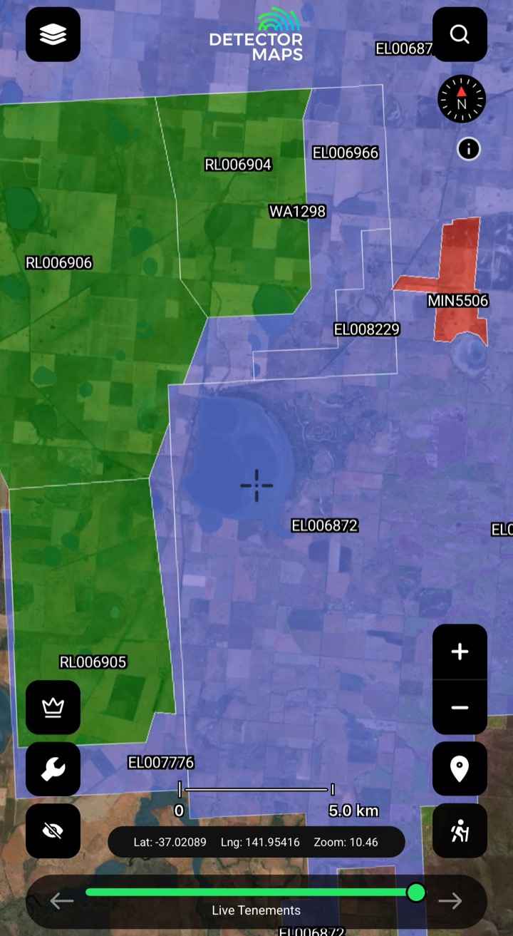
Yes — old shafts can be deep, unfenced and unstable, and many sit on ground you have no right to enter. Treat every working on the map as a hazard and a boundary question, not an invitation: check the tenement status, obey the signage, and never approach or enter an open shaft. The layer tells you where gold has been worked, not that a site is safe to walk onto.

Historic workings ship on the Australian edition, mapped from the state surveys. Pair it with the LiDAR layer where LiDAR is live (VIC, NSW, QLD, TAS) to help turn a worked goldfield into a search target.

Stop Guessing. Start Prospecting.

3-day free trial on any yearly plan· Nothing charged until it ends· Cancel anytime

Start free trial

3-day free trial · Nothing charged until it ends · Cancel anytime