Detector Maps
The bush hides a century of old workings. 1-metre bare-earth LiDAR strips it away — shafts, costeans and mullock heaps, visible before you leave the house.
3-day free trial · Nothing charged until it ends · Cancel anytime
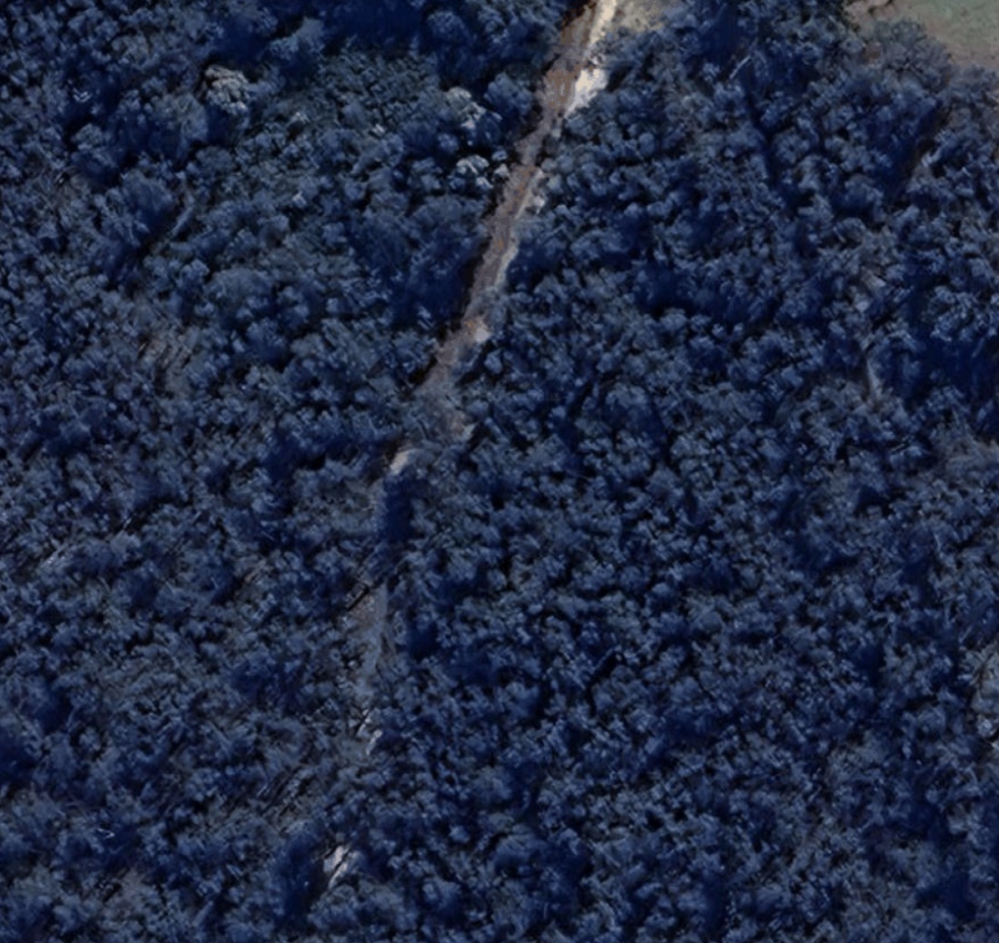
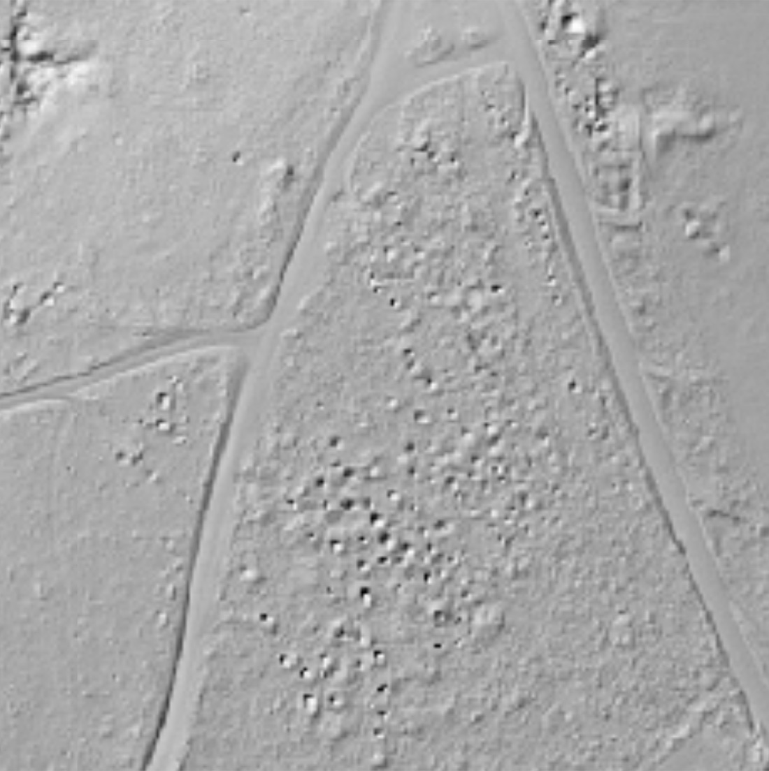
LiDAR (Light Detection and Ranging) maps the ground with laser pulses fired from aircraft. Enough pulses slip between the leaves to hit soil, so the vegetation can be stripped from the data — leaving a bare-earth model of the ground itself. Detector Maps serves it as a 1-metre bare-earth hillshade: old shafts, costeans and mullock heaps show through tree cover that defeats satellite imagery.
Old shafts, costeans and quartz reefs hide under tree cover. LiDAR hillshade strips the bush away and box-ironbark country reads like a textbook. Walk straight to workings satellite imagery can’t see.
Hillshade View
Satellite View
Drag the slider to compare satellite view with Hillshade precision
Bare-earth hillshade exposes the shaft mounds, costeans and alluvial diggings the box-ironbark grew back over — the diggings a satellite photo can't see past.
E-scout the ground from the couch: trace races, leads and gully systems, mark where to start, and turn up knowing where to swing instead of guessing on the day.
Micro-relief the eye misses on the ground reads clearly from above — subtle costeans, old water races and dam walls that flag worked-but-not-cleaned-out country.
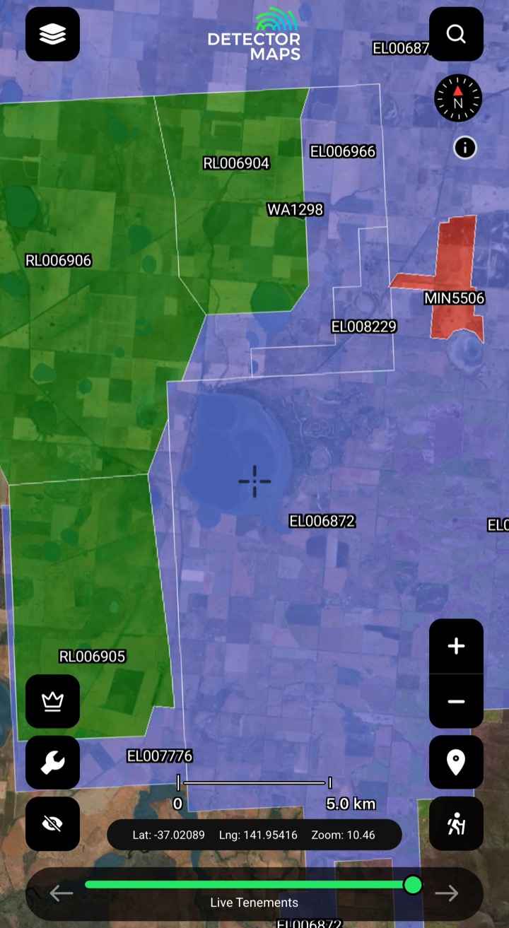
Lay the workings, leads and tenement layers over the same hillshade so the where-was-gold story and the where-can-I-swing story line up on one map.
Drop pins on the LiDAR layer over a Friday-night Coopers. Stack the historic-workings layer on top and the costeans light up like a circuit board. Save a trip with up to 50 waypoints and an offline area outline.
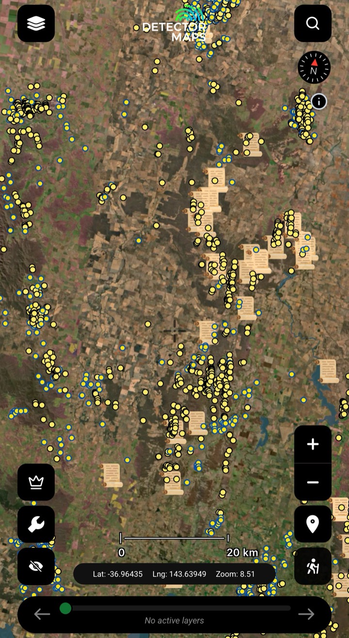
A century of georeferenced shafts, alluvials and quartz reefs, every icon linked to its state geological survey record. Clustered icons make a goldfield. LiDAR over the top makes a target.
Pre-download the area on Wi-Fi and the base layers — tenements, geology, historic workings, geochem — live on your phone. The GPS still works without coverage. Offline LiDAR caching is coming soon.
Priced per state because the hosting cost differs. Buy only the states you swing in.
| State | LiDAR | Price |
|---|---|---|
| Victoria | Live | $150/yr |
| New South Wales | Live | $40/yr |
| Queensland | Live | $100/yr |
| Tasmania | Live | Free |
| Western Australia | Not yet available | Get notified |
| South Australia | Not yet available | Get notified |
| Northern Territory | Not yet available | Get notified |
Tasmania’s LiDAR is free. LiDAR is a paid add-on, priced per state, and isn’t part of the free trial — add your state’s hillshade once it’s earned its keep.
All prices AUD, on top of an Explorer ($99/yr) or Pro ($249/yr) subscription. LiDAR is the only paid add-on.
3-day free trial · Nothing charged until it ends · Cancel anytime
The exact extents, straight from our tile server — zoom in and check your patch before you buy a state.
No LiDAR there yet — and we won’t sell you a layer that doesn’t exist. Leave your email and we’ll tell you the day your state goes live.
WA, SA & NT LiDAR isn’t available yet — tenements, historic workings and geochem are already live in all 7 states & territories.
Three independent creators tested it in the field. We didn’t pay for any of these — we just showed them the app.
No. Most members prospect on the base layers — tenements, historic workings, geology, geochem — and plenty of gold comes up that way. LiDAR is a paid add-on, priced per state, and isn’t part of the free trial — add your state’s hillshade once it’s earned its keep. Tasmania’s LiDAR is free permanently.
LiDAR is huge data — one square kilometre of 1-metre bare-earth is gigabytes. Hosting and serving it costs us per state per year. Pricing per state means you only pay for the country you actually swing in. Tasmania is free because the state government covers the hosting. Current add-on pricing: Victoria $150/yr, NSW $40/yr, Queensland $100/yr, Tasmania free. WA, SA and NT LiDAR isn’t available yet.
LiDAR (Light Detection and Ranging) maps the ground with laser pulses fired from aircraft. Enough pulses slip between the leaves to hit soil, so the vegetation can be stripped from the data, leaving a bare-earth model of the ground itself. Detector Maps serves it as a 1-metre bare-earth hillshade — old shafts, costeans and mullock heaps show through tree cover that satellite imagery can’t see past.
Not yet. LiDAR is live today in Victoria, NSW, Queensland and Tasmania. WA, SA and NT aren’t available yet — leave your email on this page and we’ll tell you the day your state goes live. Every other layer — tenements, historic workings, geochem — is already live in all 7 states & territories.
No — LiDAR is a paid add-on, priced per state, and isn’t part of the free trial (Tasmania’s is free). Every base layer is included in the 3-day trial on the yearly plans. A card is required, but nothing is charged until the trial ends — cancel before then and you pay nothing.
Explore
Live & historic tenementsKnow whose ground you're on.Explore →
Historic workingsStart where gold's come out.Explore →
Surface geochemistryDig where the chemistry says gold.Explore →
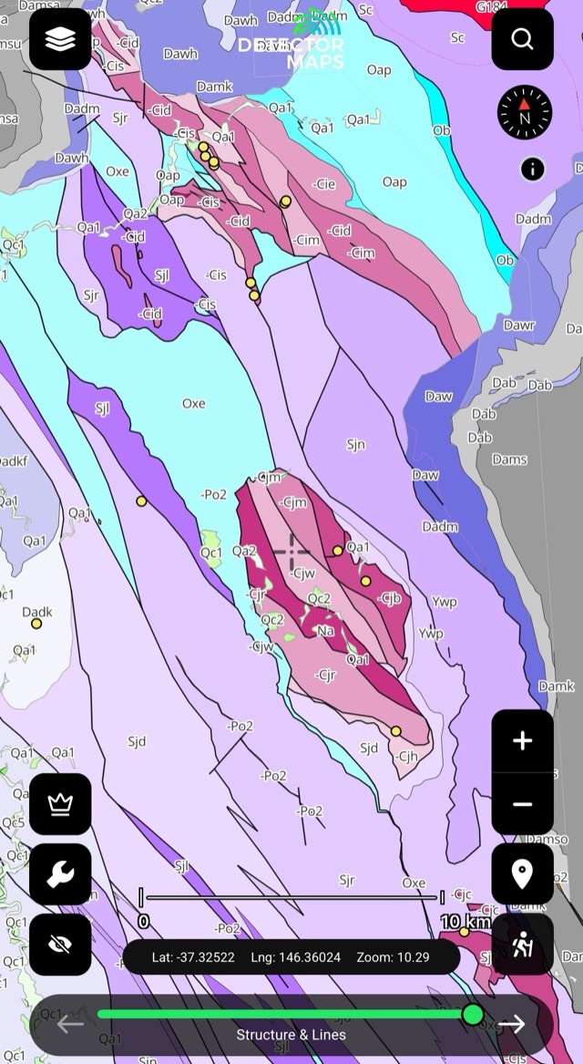
Bedrock geologyRead the host rocks.Explore →
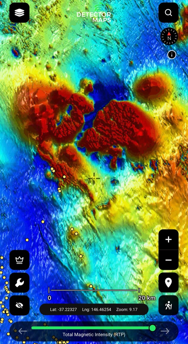
Airborne magneticsRead the basement structure.Explore →
Offline gold mapsTake it bush with zero bars.Explore →Every base layer unlocked from the first minute.
3-day free trial · Nothing charged until it ends · Cancel anytime
Prospect smarter, not harder. Built in Queensland.
Trip reports, layer updates, the occasional gold-find email. No spam.
© 2026 Gold Discovery Solutions Pty Ltd