WORKS WITH ZERO BARS· iOS + ANDROID· 10+ AREAS OF 250 km² EACH

Take it bush with zero bars — offline goldfield maps

Download your ground before you leave town. Every layer and your GPS blue-dot keep working at the bottom of a gully — then sync the moment you're back in range.

Start free trial

3-day free trial · Nothing charged until it ends · Cancel anytime

offline layer
What it is

Lose the signal, keep the map

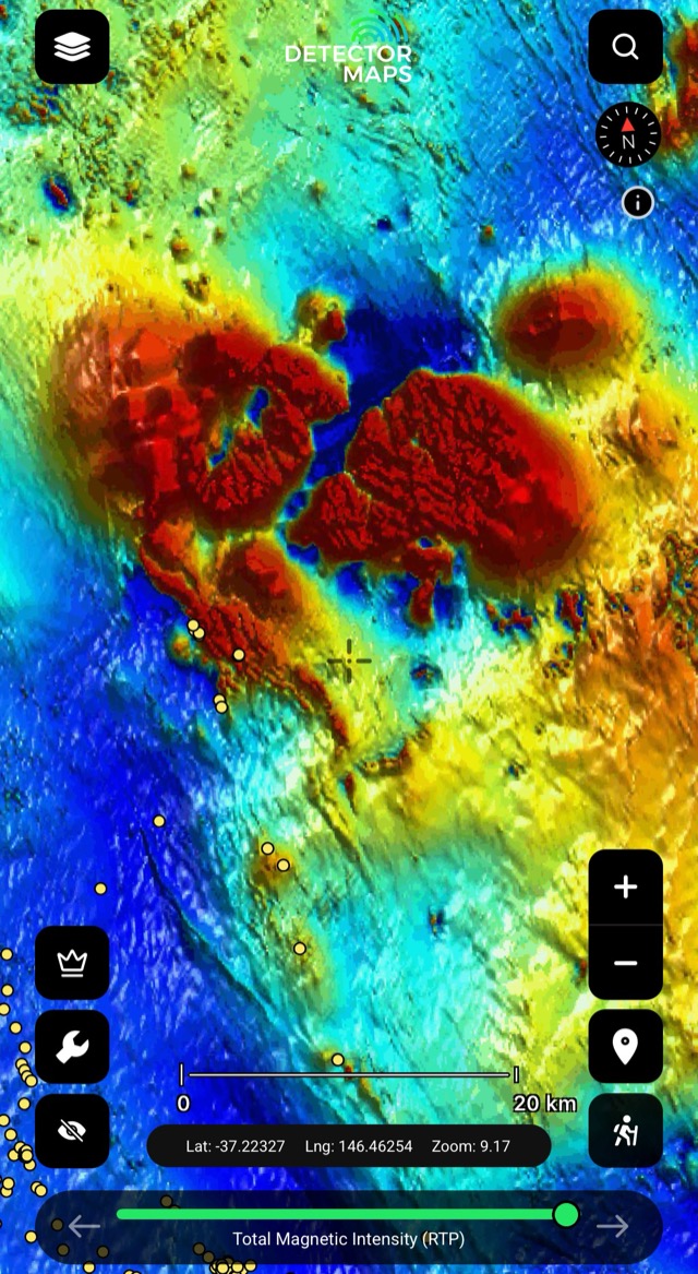
Offline maps cache your downloaded goldfields straight onto your phone — every live base layer plus the GPS blue-dot keep working with no mobile coverage, and your waypoints sync back encrypted once you’re in signal again.

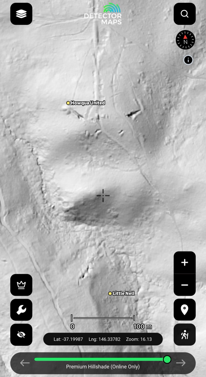
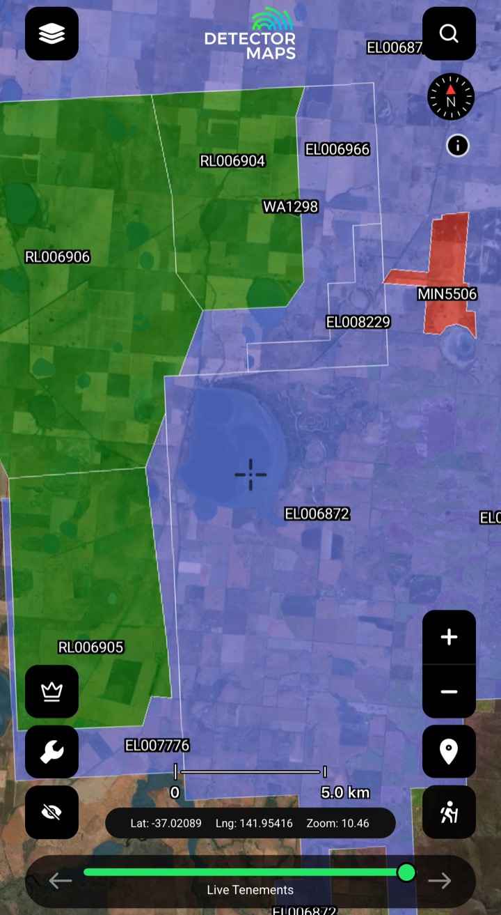
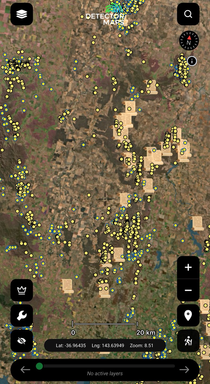
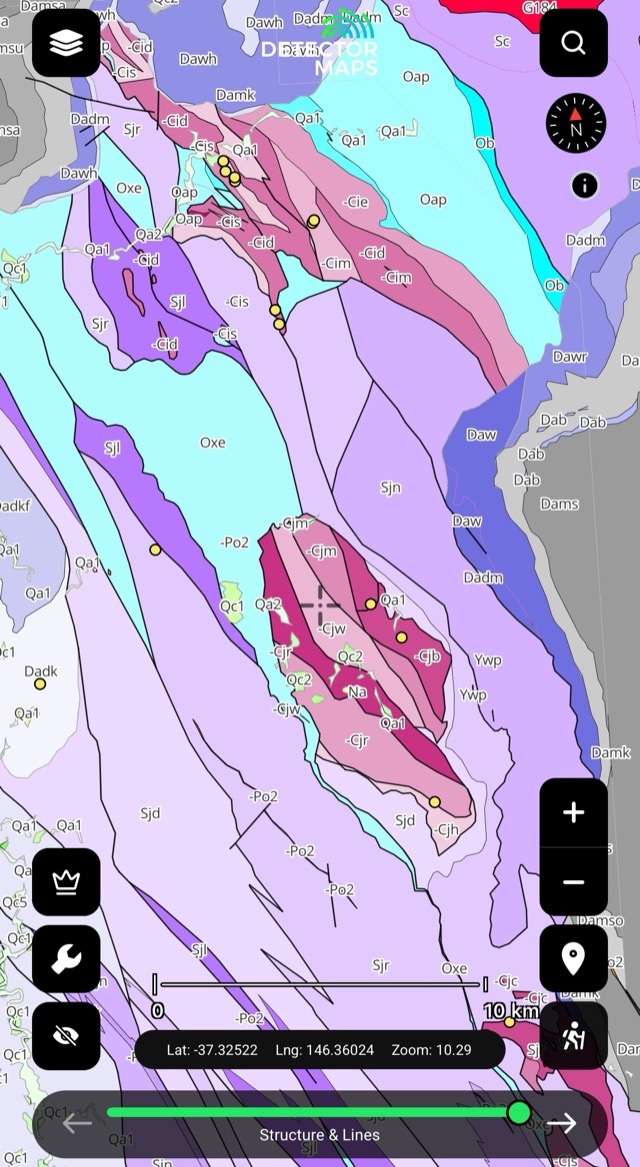
What the layer shows you

Four ways prospectors put it to work

Download before you leave town

Cache your patch on Wi-Fi before you go — tenements, geology, historic workings and geochem ride along, so there's nothing to load when you pull up at the gate.

Read every layer with no signal

At the bottom of a gully with zero bars, the layers you downloaded stay on the screen — pan, zoom and check the ground without a single bar. (Offline LiDAR caching is coming soon.)

Know where you are off-grid

The GPS blue-dot keeps tracking with no coverage, so you always know where you're standing against the tenement boundaries and the old workings — no one to call, no problem.

Sync when you're back in range

Drop waypoints and a breadcrumb trail in the field; the moment you're back in signal it syncs to the web, encrypted. The waypoints belong to you, not us.

FAQ

Offline maps questions, straight answers.

Yes. Pre-download your area on Wi-Fi and the base layers — tenements, geology, historic workings and geochem — live on your phone. You can read every downloaded layer and your GPS blue-dot keeps working with zero bars. Cell coverage only matters for syncing your waypoints back to the web when you’re done.

You can save 10+ offline areas of 250 km² each, and every downloadable layer rides along with each area. Re-download before each trip so your tenement boundaries are current — they refresh weekday mornings, 4–6am local time.

Yes. The GPS blue-dot uses your phone’s satellite positioning, not mobile data, so it keeps tracking your position at the bottom of a gully or anywhere off-grid — you always know where you’re standing against the boundaries and the workings.

Yes. Waypoints, your breadcrumb trail and logged finds save to your device offline, then sync to the web automatically — encrypted — the moment you’re back in coverage. The waypoints belong to you, not us.

Not yet — offline LiDAR caching is coming soon. The base layers (tenements, geology, historic workings, geochem) all download today, so plan your lines on the LiDAR while you’ve got signal, then take the base layers bush.

Stop Guessing. Start Prospecting.

3-day free trial· Nothing charged until it ends· Cancel anytime

Start free trial

3-day free trial · Nothing charged until it ends · Cancel anytime