Detector Maps
Start free for 3 days on any yearly plan — nothing charged until the trial ends.
Open the mapResearch Scotland's ground before you ever swing a coil
Detector Maps brings Canmore sites, old Ordnance Survey maps, 1m LiDAR hillshade and the restriction layers into one field tool — so you read the historic landscape, spend less time on barren ground and stay on the right side of Scots law. Web, iOS and Android, even offline.
Start free for 3 days on any yearly plan — nothing charged until the trial ends.
Every layer for Scotland.
Scotland's law on finds is its own thing — there's no Treasure Act here, and there's no "finders keepers". Detector Maps is built to help you research smarter: see where the historic activity actually sits, layer up old maps and terrain, and know exactly where you must not detect before you ask a landowner for permission.
Ancient Places (Canmore)
Plots recorded archaeological sites and monuments from Canmore (Historic Environment Scotland) so you can see where past human activity is already documented and focus your research on ground with genuine historic context.
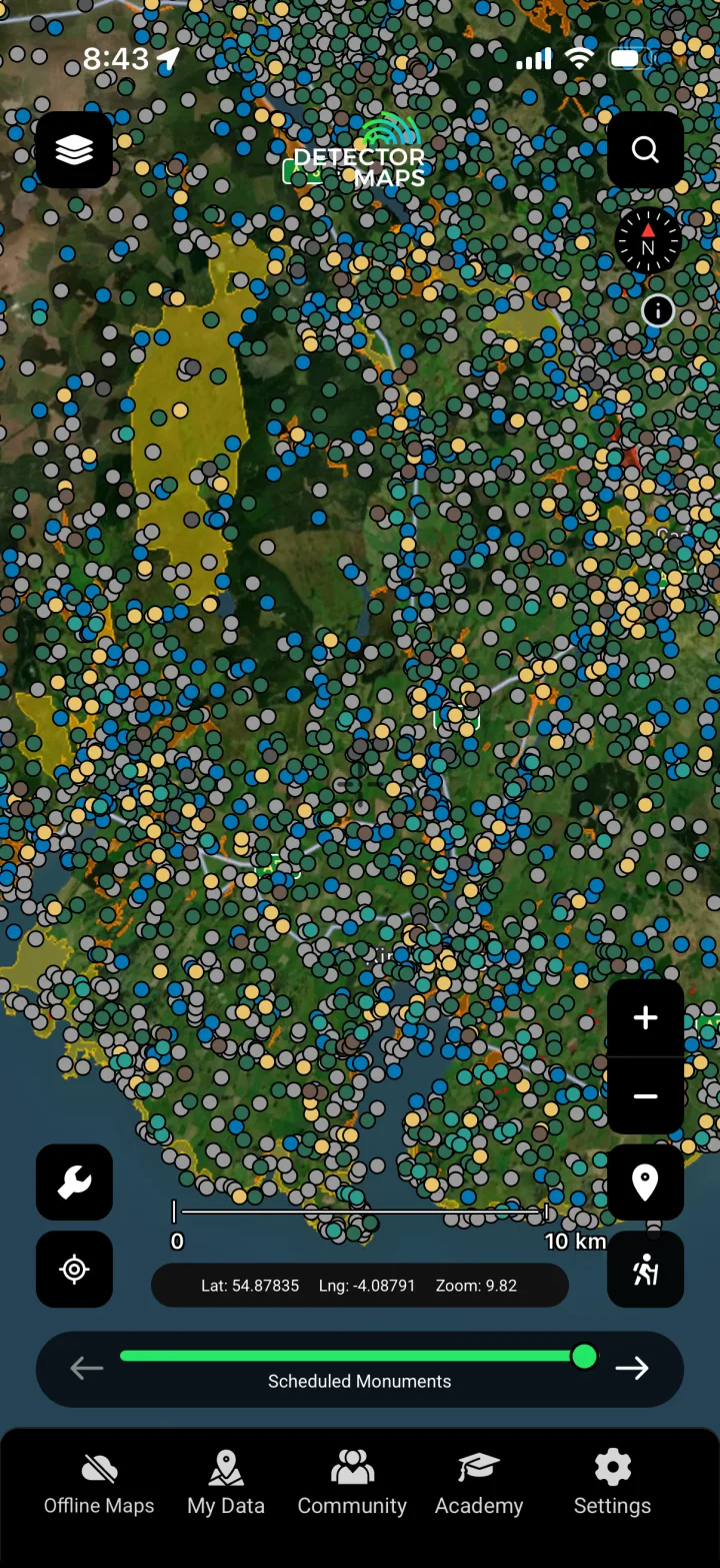
Scheduled Monuments
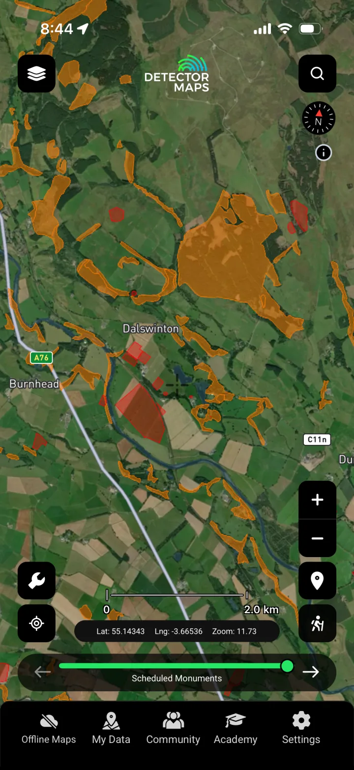
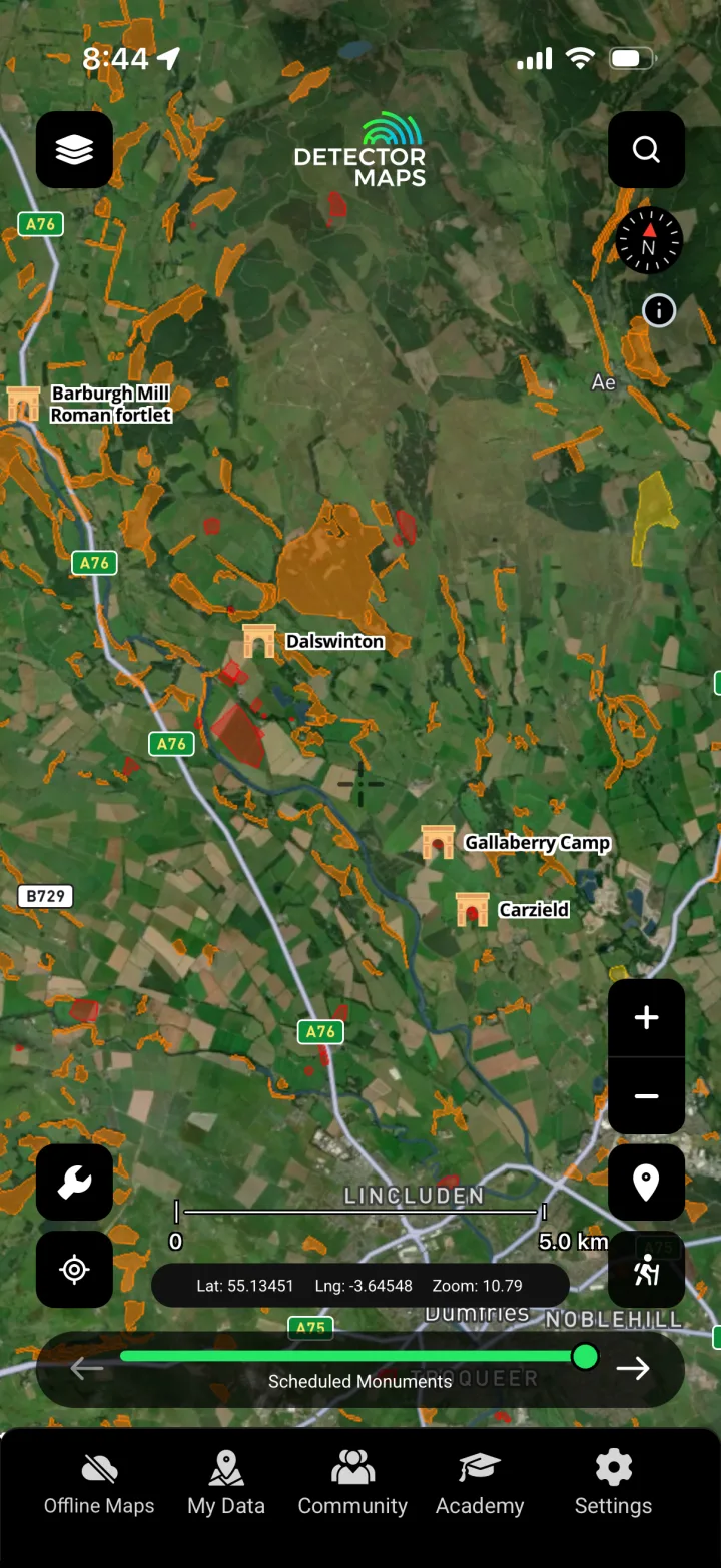
Shows the legally protected scheduled monuments where metal detecting is illegal without Scheduled Monument Consent — a know-where-you-must-NOT-detect layer that keeps your research responsible and lawful.
Sites of Special Scientific Interest
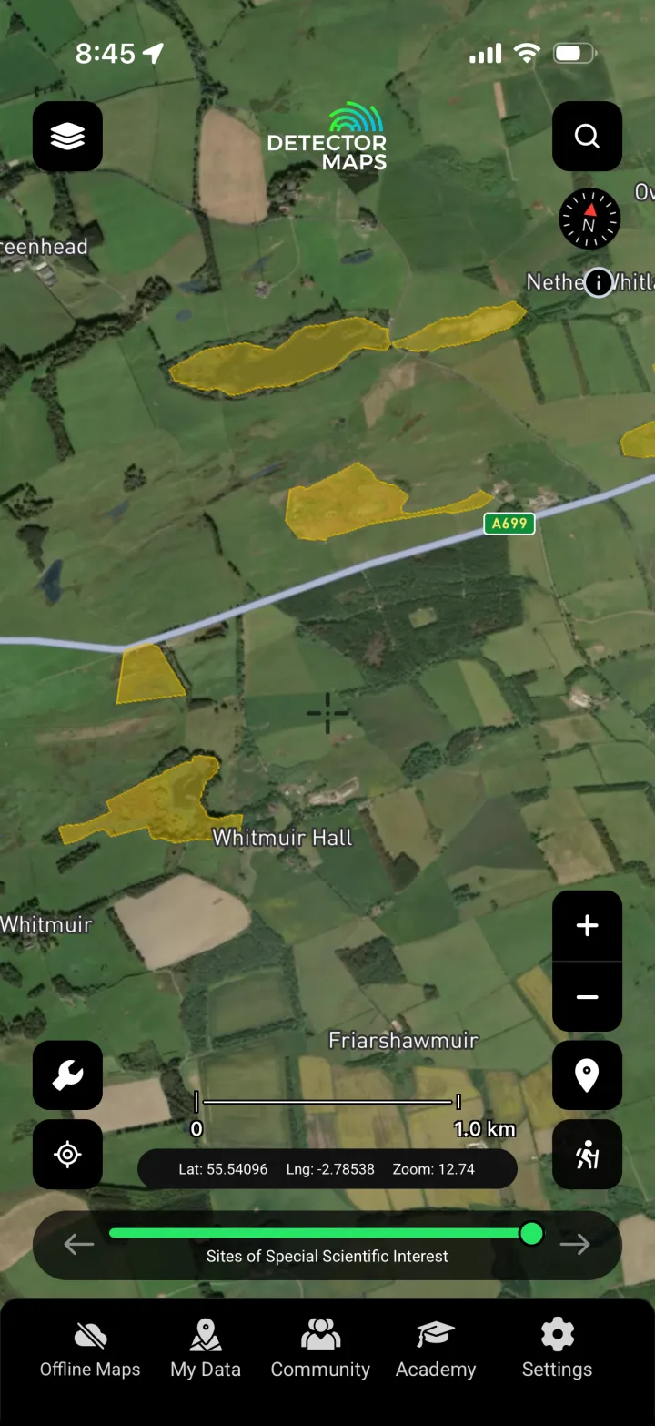
Maps protected SSSIs so you can identify sensitive, restricted ground early and steer your permission requests toward fields where detecting won't put you in breach.

Ancient Woodland
Highlights long-established woodland that has often shaped field boundaries, tracks and settlement edges for centuries, giving you context for how the landscape was used and where activity may have concentrated.

Battlefields
Marks historically recorded battle sites and their associated landscapes, helping you understand the movement and events across a parish — while reminding you that many such sites are protected and require permission and care.

Historic Footpaths
Traces old paths and routeways that people travelled for generations, helping you reason about where coins and personal items were most likely lost along everyday lines of movement.
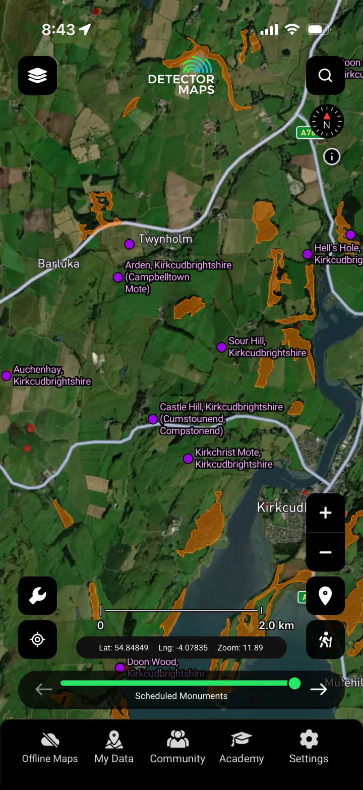
Hillforts
Plots recorded hillforts and defended enclosures so you can read Scotland's earlier settlement pattern and the prominent ground people occupied long before modern field layouts.

Roman Roads
Maps the line of known and conjectured Roman roads, helping you follow the corridors of historic travel and supply that shaped activity across the landscape.
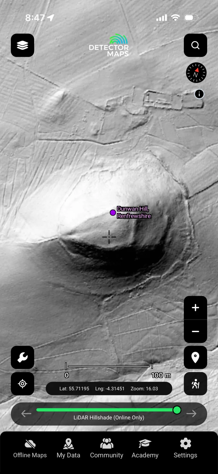
LiDAR 1m Hillshade
Renders the bare-earth terrain at 1m resolution so you can spot earthworks, old boundaries, hollow-ways and ground disturbance that are invisible at surface level — a core layer for reading the historic landscape.

OS c.1888
Overlays the late-Victorian Ordnance Survey mapping so you can compare today's fields against vanished buildings, tracks, mills and field names that hint at where past activity sat.
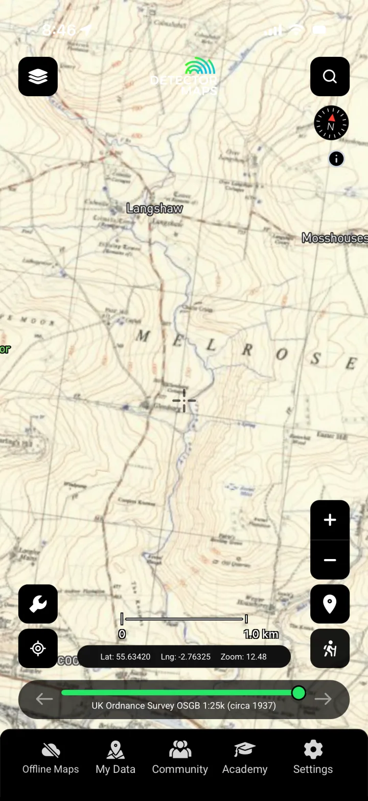
OS c.1937
Shows the inter-war Ordnance Survey edition, letting you track how the landscape changed across the decades and pinpoint features that have since been ploughed out or built over.
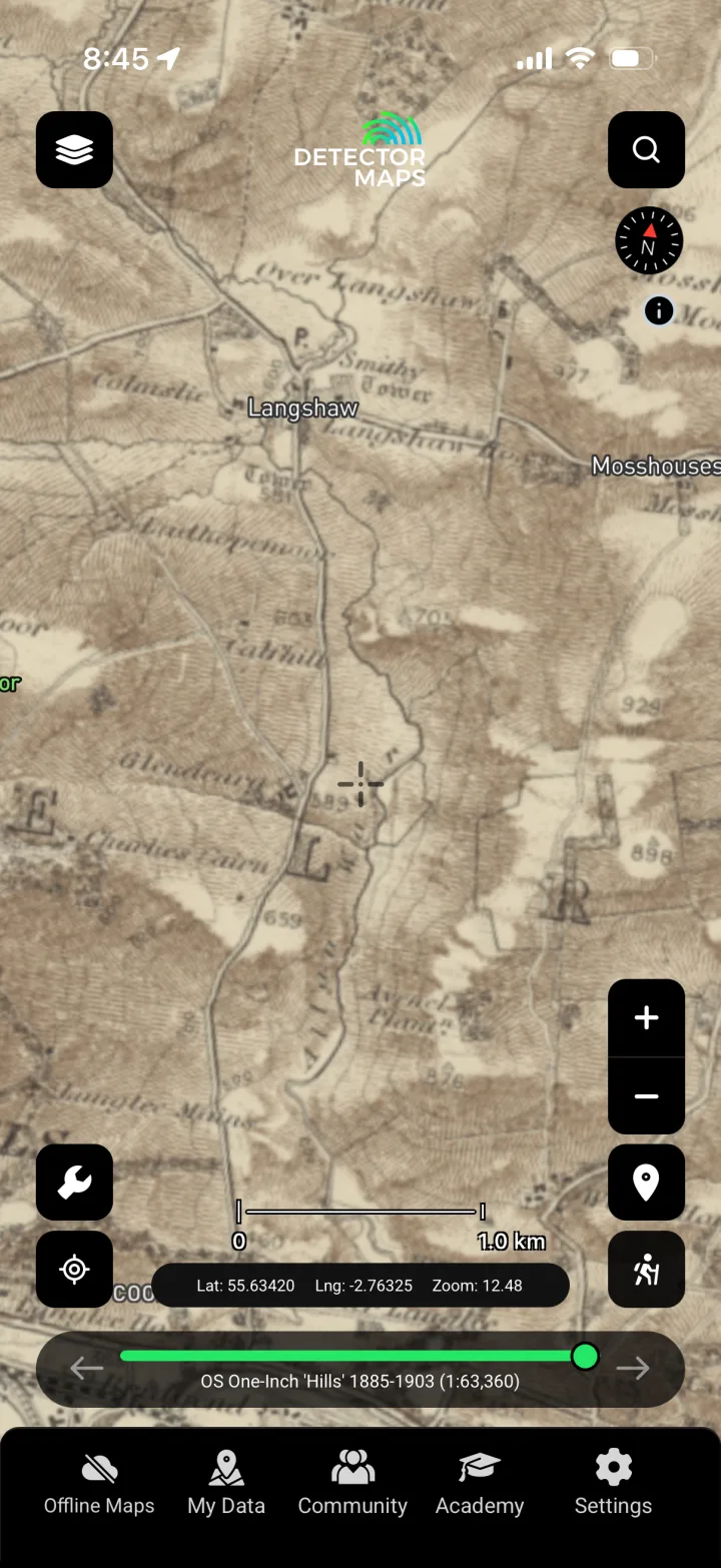
OS One Inch 1885–1903
Provides wide-area one-inch mapping from the turn of the century, ideal for understanding settlement, routes and land use across a whole district when scoping where to research next.

OS Historical 1919–1947
Layers early-to-mid 20th-century Ordnance Survey mapping so you can cross-reference multiple eras and build a picture of how a site evolved over time.
GB1900 Historic Points
Surfaces transcribed historic place names and labelled features from the GB1900 project, adding searchable detail — old field, building and landmark names — to your reading of the map.

Property Boundaries
Displays modern parcel boundaries so you can identify who likely controls a field and plan your approach for landowner permission, which is always required before you detect.
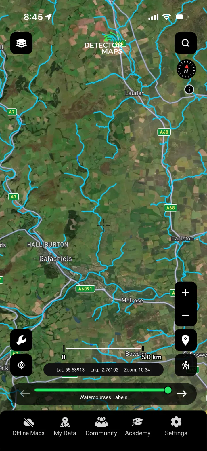
Watercourses
Maps rivers, burns and streams that historically drew settlement, crossings and trade, helping you reason about where people gathered, travelled and lost everyday items.
Know the law. Know where you can't go.
Scotland's law is completely different from England and Wales — there is no Treasure Act here. Under the law of Treasure Trove and bona vacantia, ALL archaeological objects you find, of any material and any age, belong to the Crown — there is no "finders keepers". You are legally required to report finds to the Treasure Trove Unit (the King's and Lord Treasurer's Remembrancer), which assesses them and may allocate them to a museum, with an ex gratia reward where appropriate. The Portable Antiquities Scheme does NOT operate in Scotland — never report to PAS. Detecting on a scheduled monument is illegal without Scheduled Monument Consent from Historic Environment Scotland, and you must always have the landowner's permission before detecting on any land. Detector Maps surfaces the recorded sites and restriction layers to support responsible research, but it is your responsibility to confirm current legal status and follow the Scottish Code for Responsible Metal Detecting.
Scotland: your questions, answered.
Do I have to report finds in Scotland, and who to?
Yes. Scotland has no Treasure Act and no "finders keepers" — under Treasure Trove, ALL archaeological objects of any material belong to the Crown and must be reported to the Treasure Trove Unit (the King's and Lord Treasurer's Remembrancer). The Portable Antiquities Scheme does not operate in Scotland, so don't report to PAS. Detector Maps doesn't replace that legal duty; it helps you research where to look responsibly in the first place.
Where does Detector Maps get Scottish site data?
Recorded archaeological sites and monuments come from Canmore (Historic Environment Scotland), with scheduled monuments shown so you can see protected ground. We pair that with historical Ordnance Survey maps, 1m LiDAR hillshade and GB1900 historic place names. It's research intelligence to help you read the landscape — not a promise of what's in the ground or any guarantee of finds.
Can I detect on a scheduled monument or do I still need permission?
Detecting on a scheduled monument is illegal without Scheduled Monument Consent from Historic Environment Scotland, and even off protected sites you always need the landowner's permission first. Our scheduled-monuments and SSSI layers are there so you know where you must NOT detect, helping you focus permission requests on fields where responsible detecting is actually allowed.
Research smarter. Cover more ground.
Start free for 3 days on any yearly plan — card required, nothing charged until the trial ends.