Detector Maps
Start free for 7 days on a yearly plan — nothing charged until the trial ends.
Open the mapResearch the Welsh ground before you swing
From hillfort country to the old drovers' routes, Detector Maps brings PAS Cymru finds, Coflein and Cadw records, historic OS maps, LiDAR and GPS into one field tool — so you research smarter, cover more ground and spend less time on low-potential land. Web, iOS and Android, even offline.
Start free for 7 days on a yearly plan — nothing charged until the trial ends.

Every layer for Wales.
Wales rewards detectorists who do their homework: Roman roads and forts, Iron Age hillforts, medieval churchyards and centuries of post-medieval life all leave a documented trail. Detector Maps layers that recorded history over the modern landscape so you can plan permission requests and field trips around where finds have actually been recorded — not guesswork.
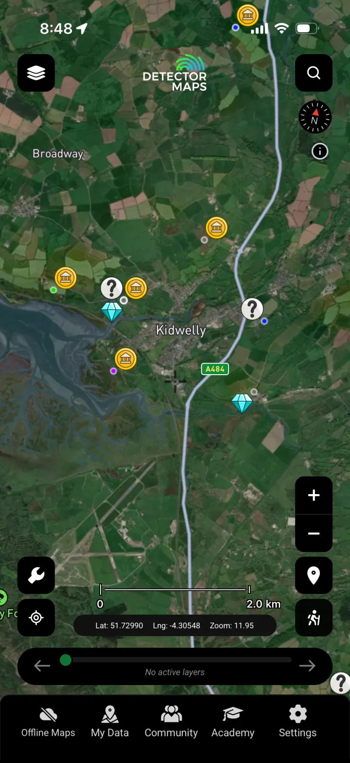
PAS Historic Finds
Plots coins, artefacts and relics recorded with the Portable Antiquities Scheme (PAS Cymru) so you can see where finds have actually come out of the ground and judge a parcel's research potential before you ask for permission.
Roman Heatmap
Shows the density of recorded Roman-period finds across Wales, helping you read where Roman activity concentrated near forts, roads and settlements as you research likely coin and relic ground.

Iron Age Heatmap
Maps the concentration of recorded Iron Age finds so you can connect hillfort country and known settlement zones to land worth researching for permission.

Bronze Age Heatmap
Highlights where Bronze Age finds have been recorded, giving you a sense of prehistoric activity across an area to inform your background research.
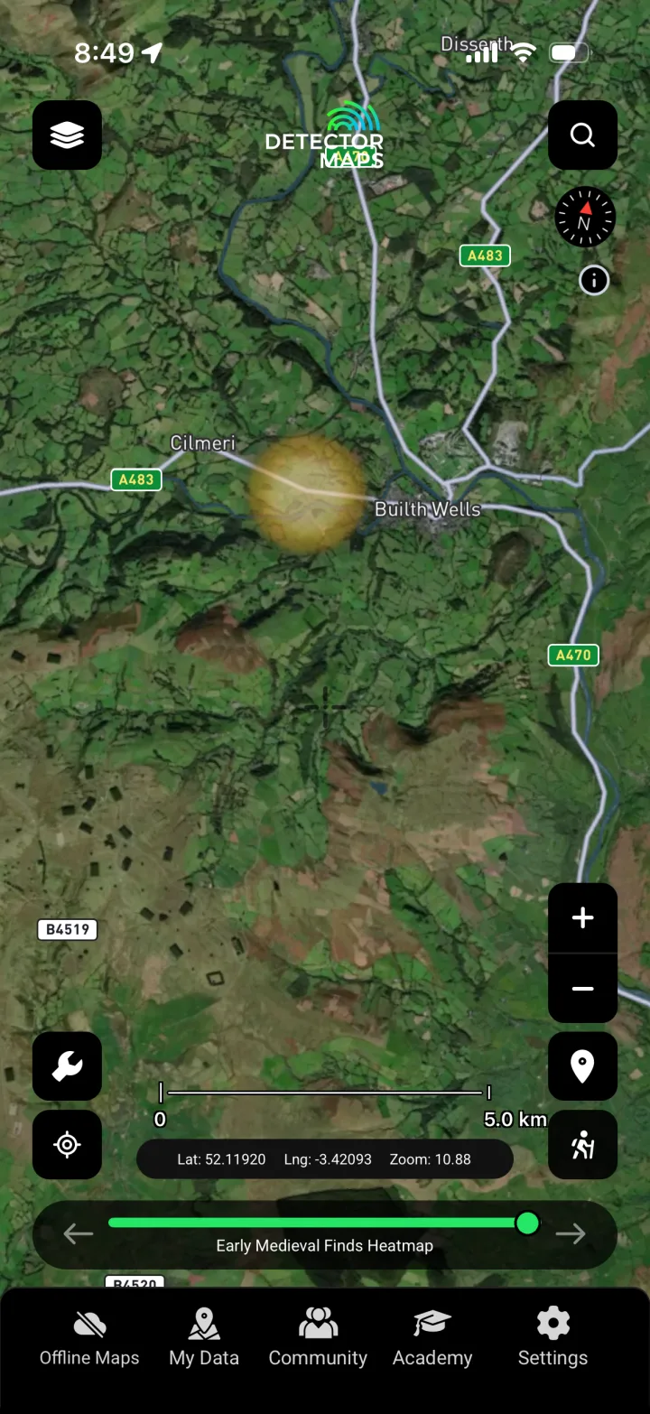
Early Medieval Heatmap
Reveals the spread of recorded early medieval finds, helping you research the post-Roman and early Welsh kingdoms period across the landscape.
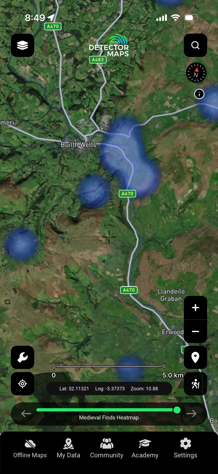
Medieval Heatmap
Shows recorded medieval find density around churches, markets, manors and routeways, so you can target your research at land with a documented medieval past.

Post-Medieval Heatmap
Maps recorded post-medieval finds reflecting later centuries of farming, trade and everyday life, useful for spotting well-worked historic ground to research.

Other Periods Heatmap
Brings together recorded finds that fall outside the main period bands, giving you a fuller picture of an area's documented activity for your research.
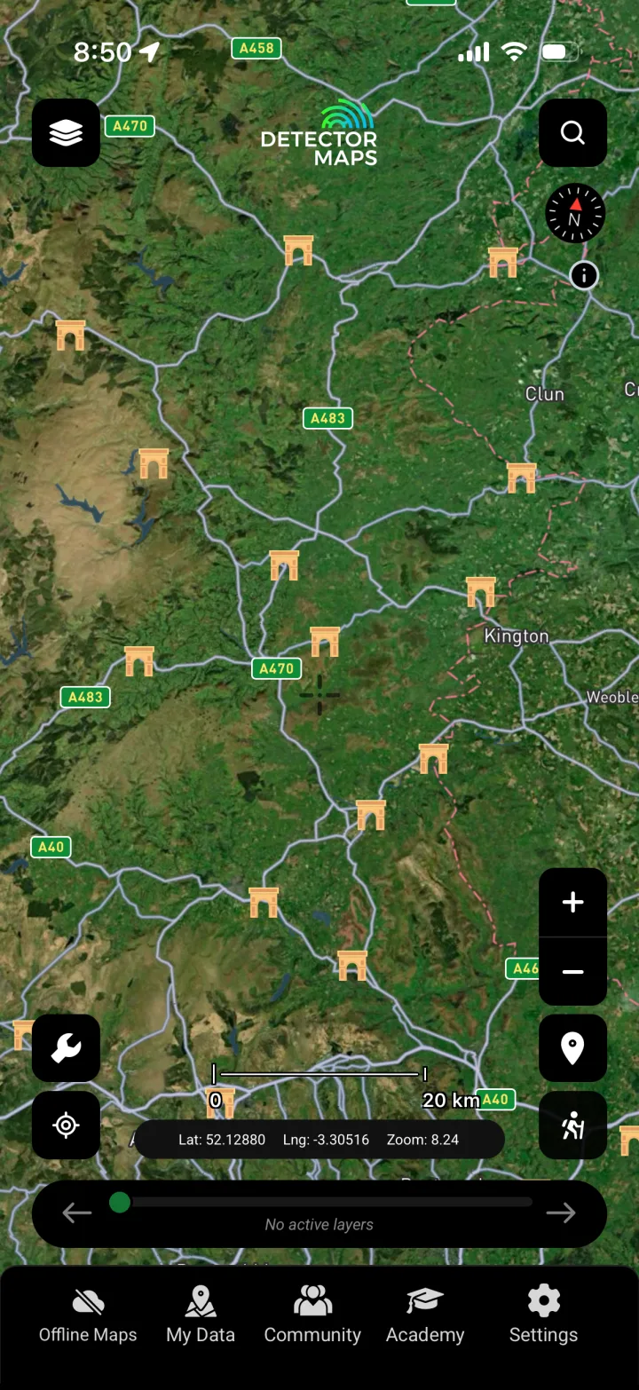
Ancient Places
Marks known ancient and historic places across Wales so you can anchor your research to documented sites of past human activity nearby.
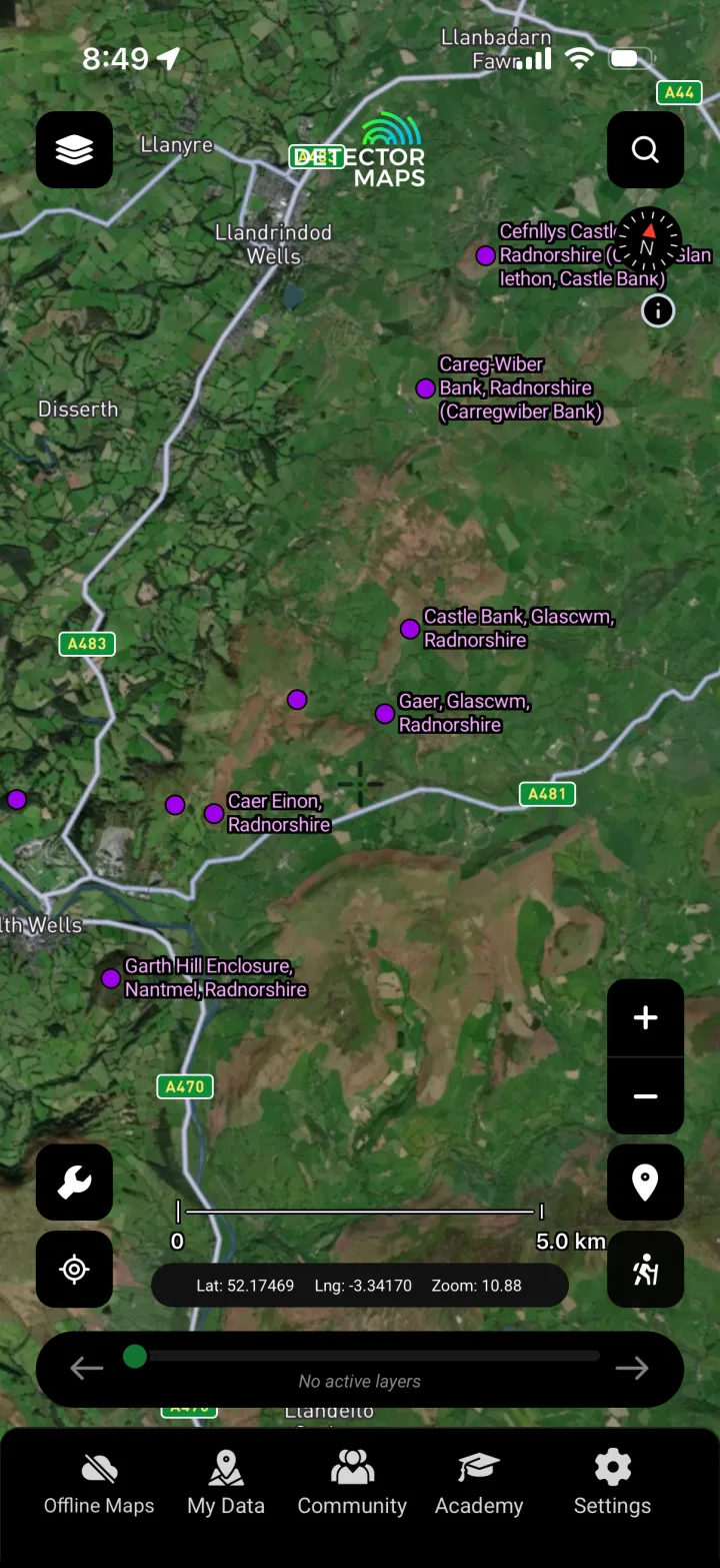
Hillforts
Locates Wales's many recorded Iron Age and later hillforts, helping you understand the surrounding historic landscape when researching nearby permissions — note the forts themselves may be protected, so always check restrictions.
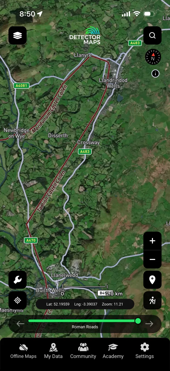
Roman Roads
Traces the courses of known and projected Roman roads, letting you research the land along these historic routeways where Roman-period activity is recorded.
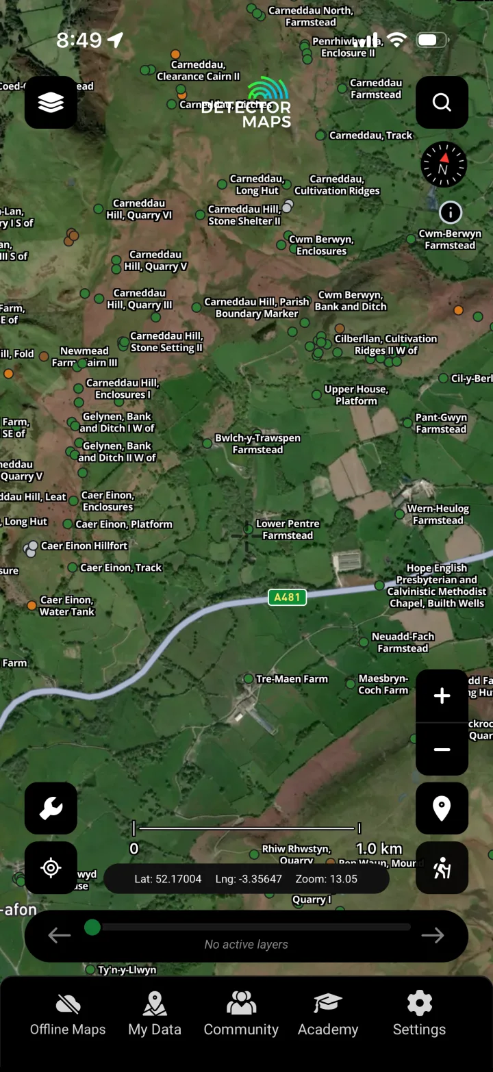
Coflein Historic Sites
Overlays historic sites and monuments from Coflein (the RCAHMW database) so you can read the documented archaeology of an area and research responsibly around it.
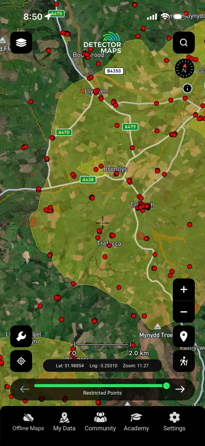
No-Go Zones
Flags scheduled monuments and other protected and restricted areas so you know where you must NOT detect — a responsibility layer to keep your detecting legal.

LiDAR 1m Hillshade
Renders high-resolution LiDAR terrain that exposes earthworks, old field systems and features hidden under vegetation, helping you read the historic landscape before you visit.
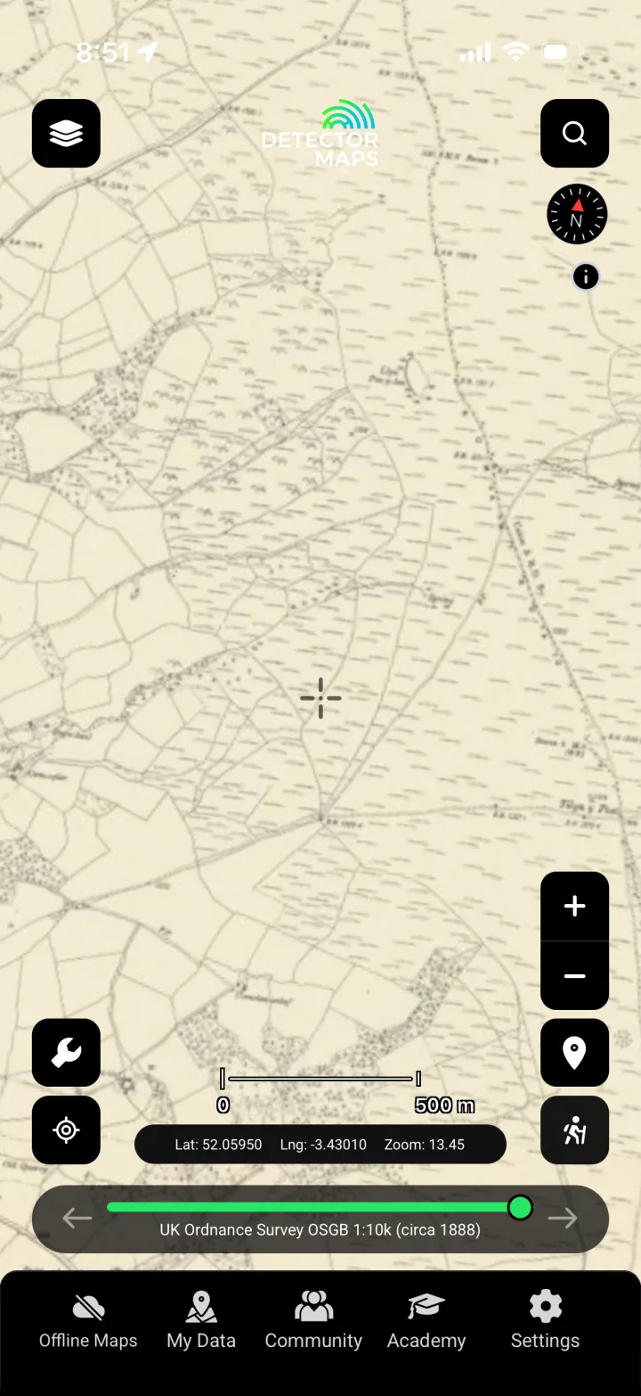
OS c.1888
Historic Ordnance Survey mapping from around 1888 reveals vanished buildings, tracks, fairs and field boundaries to guide where you focus your research.
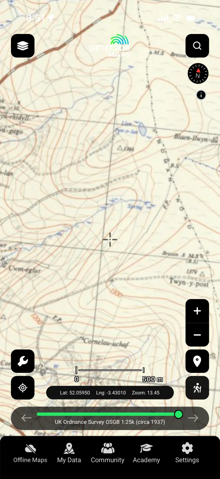
OS c.1937
Early-20th-century OS mapping from around 1937 shows how the landscape changed, helping you spot former structures and routeways worth researching.

OS One Inch 'Hills' 1885–1903
The shaded-relief One Inch series from 1885–1903 gives a period view of terrain and settlement, useful for reading the historic lie of the land in your research.

OS Historical 1919–1947
Historic OS mapping spanning 1919–1947 lets you compare eras and trace features that have since disappeared from the modern map as you research.

GB1900 Historic Place Names
Surfaces historic place and field names transcribed from early OS maps, often hinting at former land use and activity that can sharpen where you research.
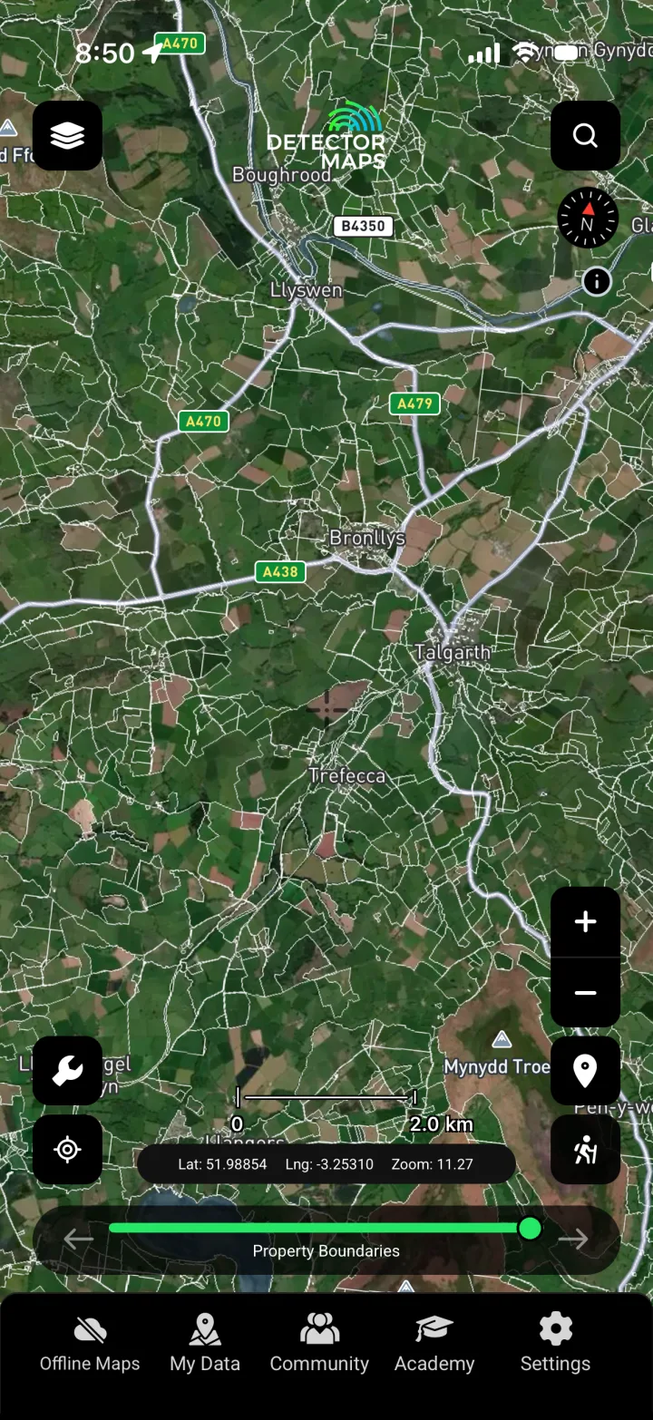
Property Boundaries
Shows parcel boundaries to help you identify who to approach for permission and keep your detecting to the land you actually have consent for — landowner permission is always required.
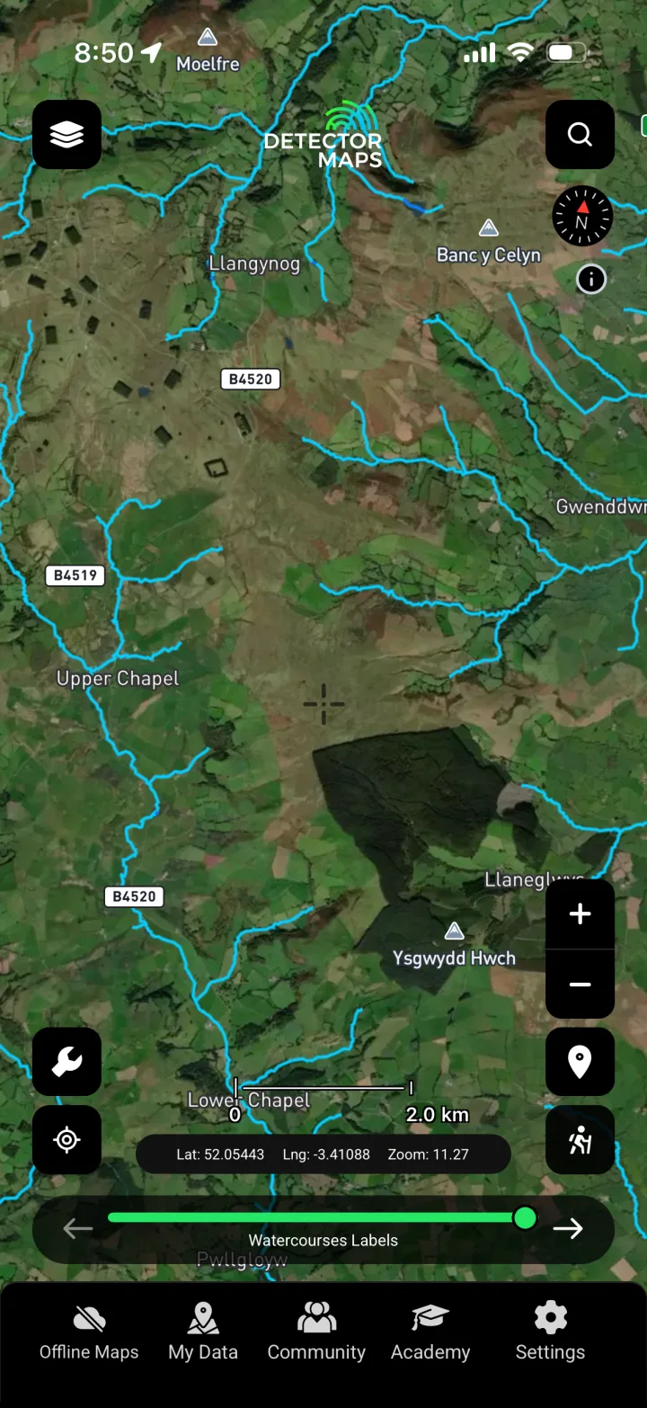
Watercourses
Maps rivers, streams and historic water features that shaped where people lived, crossed and traded, giving useful context as you research an area.
Know the law. Know where you can't go.
In Wales, metal detecting is governed by the Treasure Act 1996. If you find potential treasure you are legally required to report it to the local coroner, usually within 14 days. Most non-treasure finds are recorded voluntarily through the Portable Antiquities Scheme in Wales (PAS Cymru) via your local Finds Liaison Officer. Detecting on a scheduled monument is illegal without consent from Cadw, and historic sites are recorded by Cadw and in Coflein (RCAHMW) — our No-Go Zones layer flags protected and restricted areas so you know where you must not detect. Always get the landowner's permission before detecting, and follow the Code of Practice for Responsible Metal Detecting in England and Wales. Detector Maps is a research tool, not legal advice — verify designations and obtain the correct consents yourself.
Wales: your questions, answered.
What laws cover metal detecting in Wales?
Wales follows the Treasure Act 1996, the same framework as England. Potential treasure must be reported to the local coroner, usually within 14 days, and most other finds are recorded voluntarily with the Portable Antiquities Scheme in Wales (PAS Cymru). You must never detect on a scheduled monument without consent from Cadw, and you always need the landowner's permission first.
Do I report finds to PAS in Wales?
Yes. The Portable Antiquities Scheme operates in Wales as PAS Cymru, and you can record non-treasure finds voluntarily through your local Finds Liaison Officer. Anything that may qualify as treasure under the Treasure Act 1996 is a separate legal duty and must be reported to the coroner, usually within 14 days. Recording finds with PAS Cymru also helps build the historic record that layers like our PAS Historic Finds heatmaps draw on.
Can Detector Maps tell me where I'll find coins or relics in Wales?
No — and we'd never claim to. Detector Maps is a research tool, not a treasure guarantee. It shows you where finds have actually been recorded, how the historic landscape reads through old maps and LiDAR, and crucially where you must NOT detect, so you can research smarter and spend less time on low-potential ground. Finding anything still depends on permission, fieldwork and luck.
Research smarter. Cover more ground.
Start free for 7 days on a yearly plan — card required, nothing charged until the trial ends.