
Release · Detector Maps team
Coin & Relic comes to the USA — plus Detector Grids and the Academy
Detector Maps isn’t just for gold country anymore. The USA gets a full Coin & Relic mode covering old towns, homesteads and long-forgotten ground coast to coast — and the same update ships Detector Grids for methodical coverage, a built-in Academy that teaches the whole app in 34 short lessons, a browsable catalog of historical maps, and map syncing between your phone and the web.
New: Coin & Relic for the USA
Detector Maps now covers coin and relic hunting nationwide, not just gold country. Choose Coin & Relic when picking your region and the map re-arms for American history — ghost towns, battlefields, historic topo, shipwrecks and the property research to hunt them legally.
Included on every USA plan — Explorer and Pro carry both modes, Gold and Coin & Relic, on one subscription.
Ghost towns & era-dated places
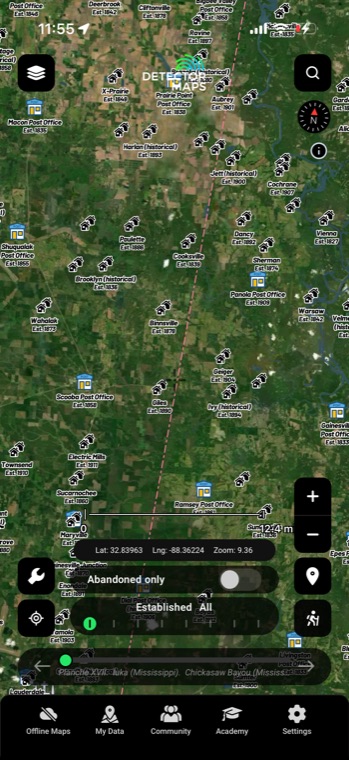
USGS GNIS across all 50 states — vanished towns, schools, churches and post offices, each dated to its era, with a decade slider and an abandoned-only filter. The ground nobody’s swung is the ground that fell off the map.
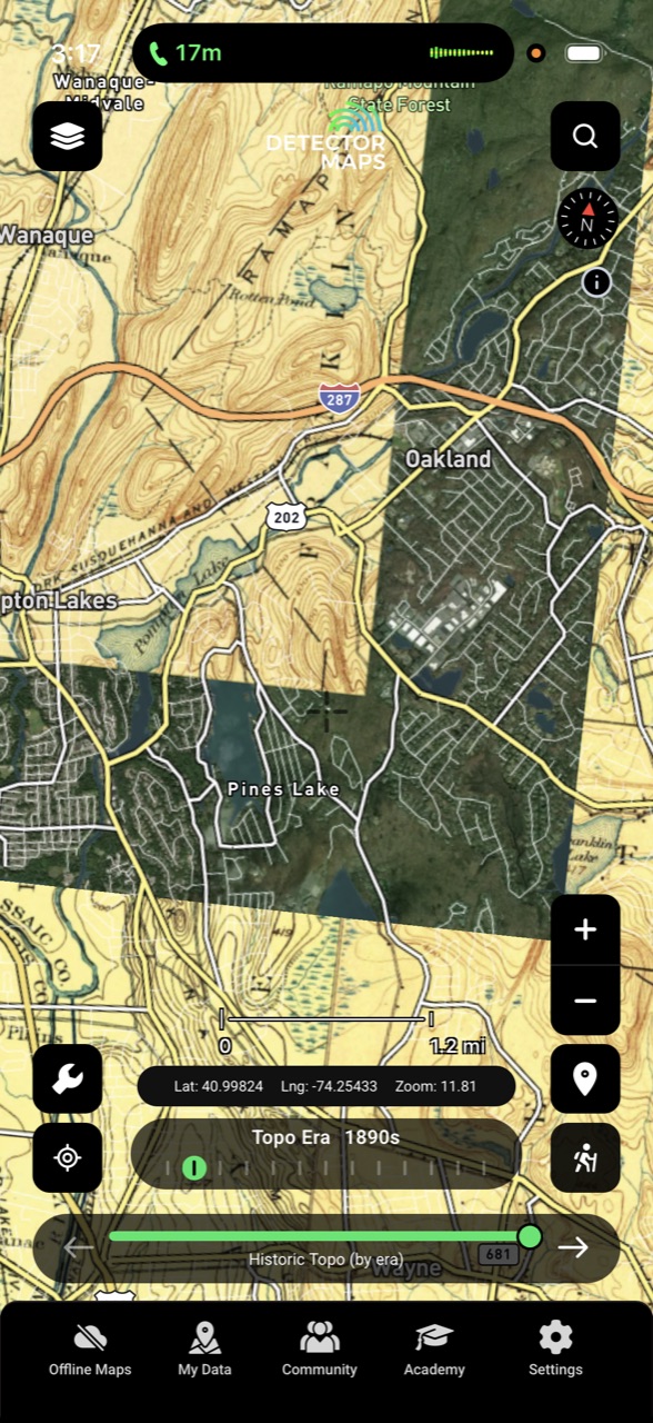
A century of topo on one slider
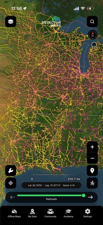
Decade-by-decade USGS topographic base maps from the 1870s to the 2000s. Slide through time and watch the roads move, the rail lines close and the towns disappear — then go stand where they were.
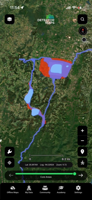
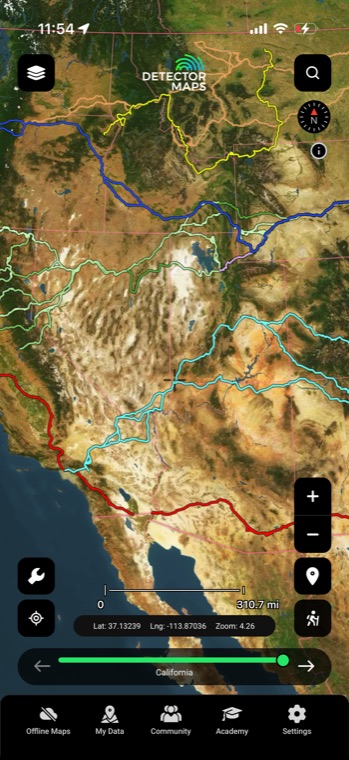
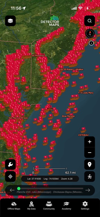
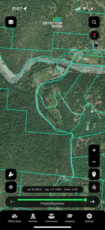
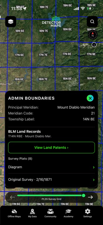
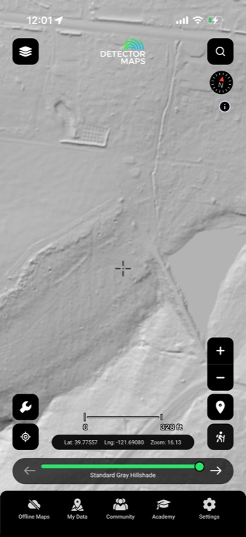
Battlefield and historic-site layers are for reference only — protected sites are off-limits.
The full region tour is at detectormaps.com/us-relic.
New: Detector Maps Academy
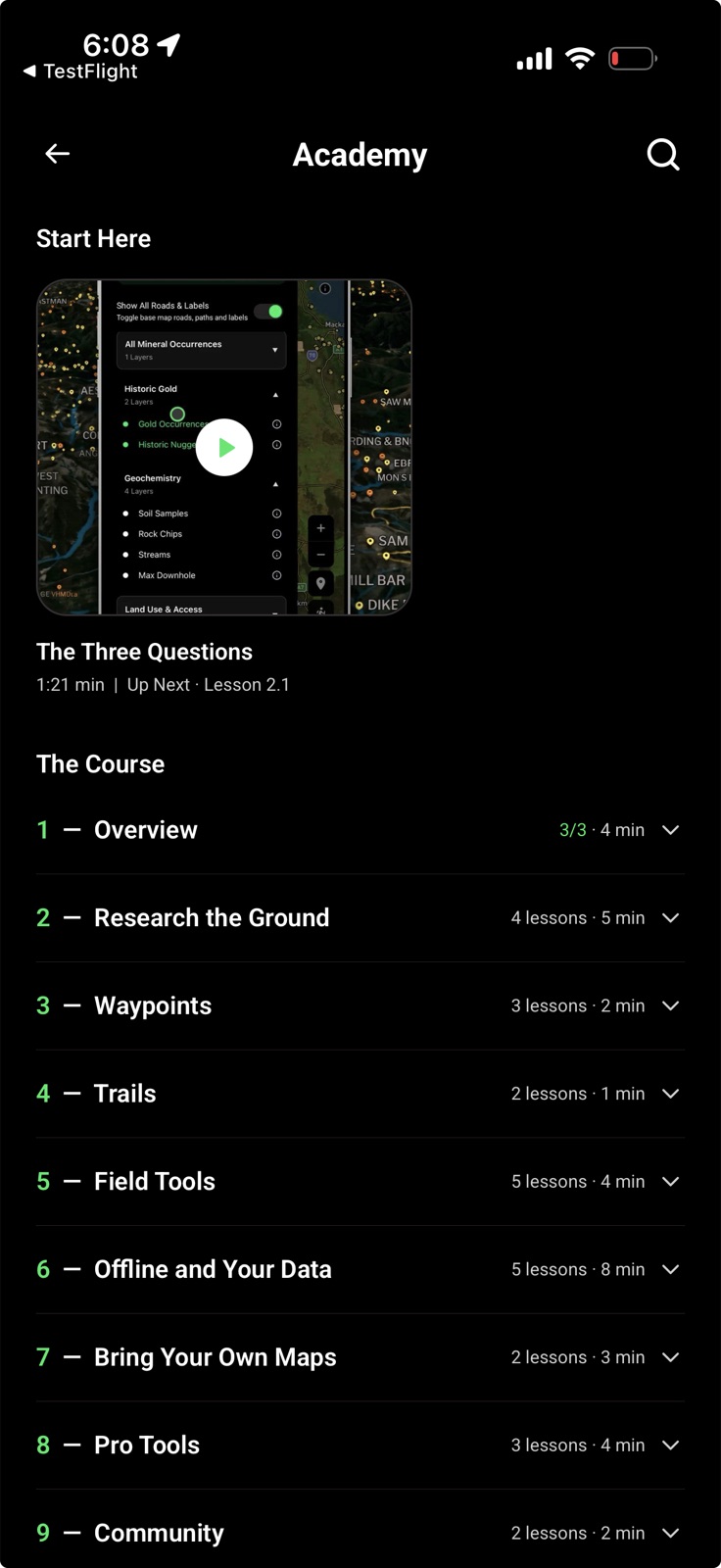
A built-in crash course on the whole app — 34 short video lessons, most under a minute. Layers, LiDAR, waypoints, trails, offline maps and Pro tools: watch in order or jump straight to the tool you need.
You’ll find it in the app’s bottom bar. Every lesson is filmed inside the app itself, so what you watch is exactly what you tap.
New: Detector Grids
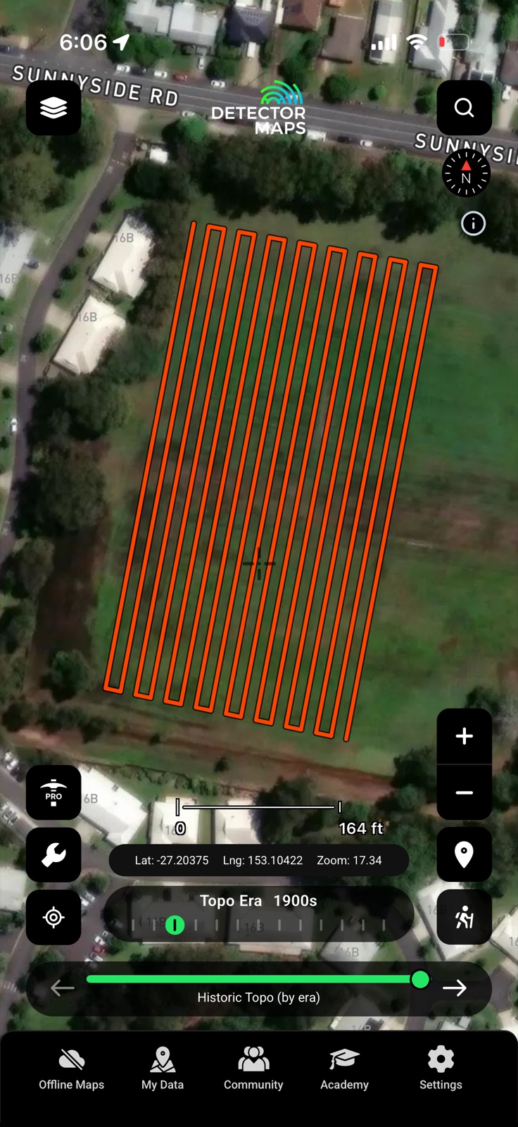
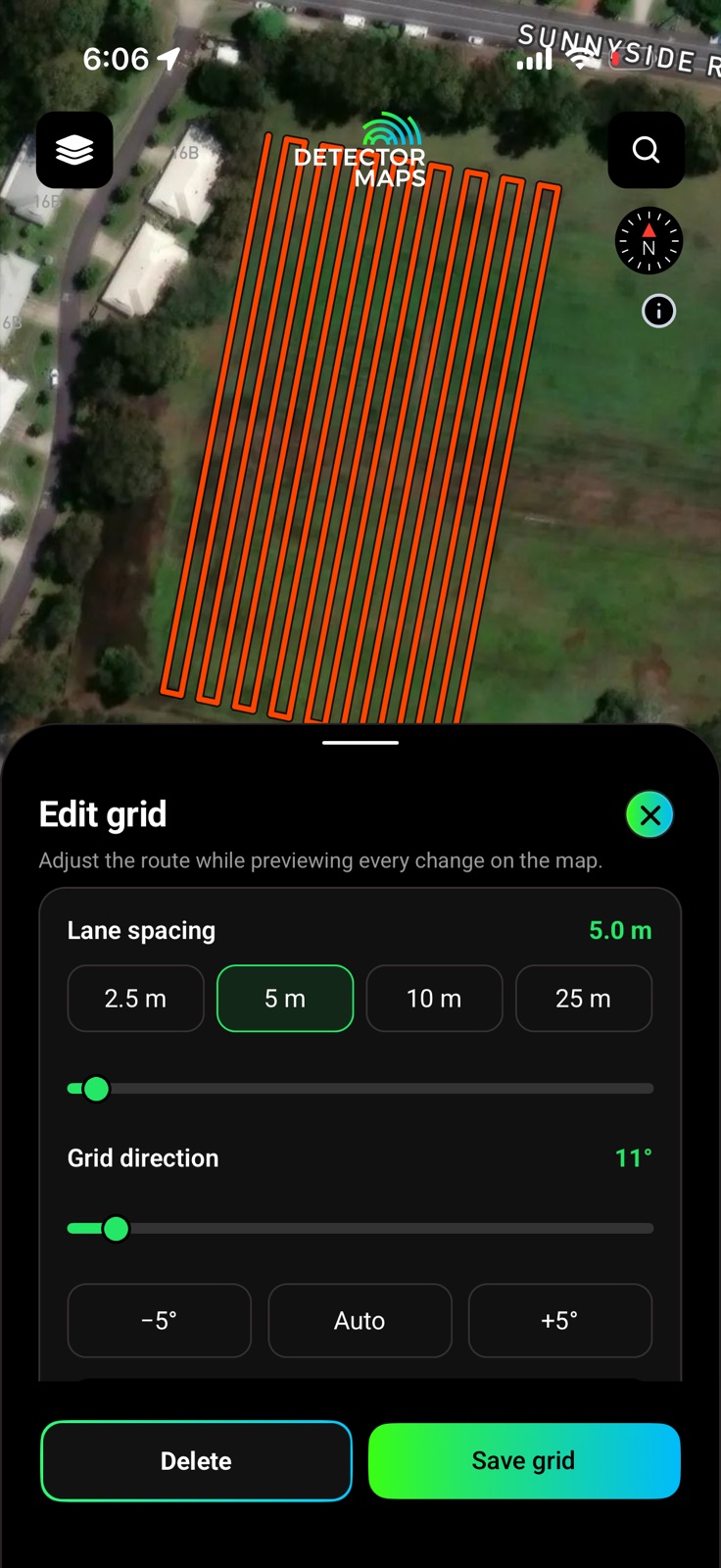
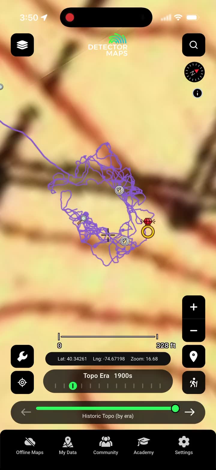
Plan complete, methodical coverage of an area with adjustable search lanes you can follow while recording your trail.
Draw the area, set your lane spacing — 2.5 m for a tight hunt out to 25 m for scouting — swing the grid to any direction, and save it. Follow the lanes with breadcrumb recording on and you know exactly what’s been covered and what hasn’t. No more ‘I think I did that corner’.
New: Historical Maps Catalog
Browse a catalog of historical maps and overlay them on today’s map to see what stood there a century ago. 9,500+ georeferenced maps, searchable by region, era and type — add one, slide the opacity, and line the 1887 county atlas up with today’s bean field.

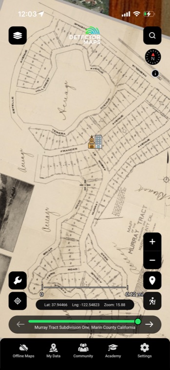
Historical map imagery courtesy of the David Rumsey Map Collection.
New: Cross-platform map syncing
Your georeferenced maps now sync between your phone and the web app — research at the desk, detect in the field. Waypoints and breadcrumbs ride the same account, so the line you walked on the laptop map is under your boots on Saturday.

The research desk
Georeference on the desktop web app with Pro — it lands in My Maps on your phone before you’re out the door.
Take it for a swing
Everything above ships in the next app update, plus bug fixes and performance improvements throughout. One subscription, both modes, three devices.
Start free trialStart free for 3 days on any yearly plan — nothing charged until the trial ends.
Happy hunting — Matt & Tom
Want new features before release day? Apply for beta access →