
Release · Detector Maps team
Pro subscription, British Columbia, and a revamped New Zealand
Our biggest update yet. The Pro tier puts AI across 300,000+ exploration reports, Canada gets its first region, and New Zealand has been rebuilt from the ground up. Detector Maps is going global — and from now on, every release lands on this page.
Pro: industry-grade data, AI on every report
For the ones who treat it like a job — peg-hunters, serious prospectors, geos and explorers. Pro adds three tools the base layers don’t have.
Pro is available in Australia, Canada (British Columbia) and New Zealand.
Tenement Activity / Claim Activity is available in all regions except the UK.
Search 300,000+ exploration reports
Search any keyword — 'nuggety quartz', a company, a commodity — and the map lights up with a heatmap of every mention. Tap a hotspot, open the reports underneath, and get the AI summary instead of reading 400 pages.
Pick an area. Get the intelligence report.
Draw a polygon or drop a radius, and the AI reads every exploration report ever filed on that ground — decades of dense government and company records — and reports back in plain English.
Prospectors get the bottom line: recorded nuggets and coarse gold, the old workings, how detectable the ground really is, plus access and what’s allowed. Geologists get the deep read: host rocks, drill intercepts, soil anomalies, ranked targets and what to drill next.
And because it’s reading the actual record, it’s honest — it’ll tell you straight when an area has no recorded nuggets. Every source is cited, and where a report holds a useful figure — an old map, a drill section, a sketch of the workings — it pulls the image in too.
Know the moment ground drops
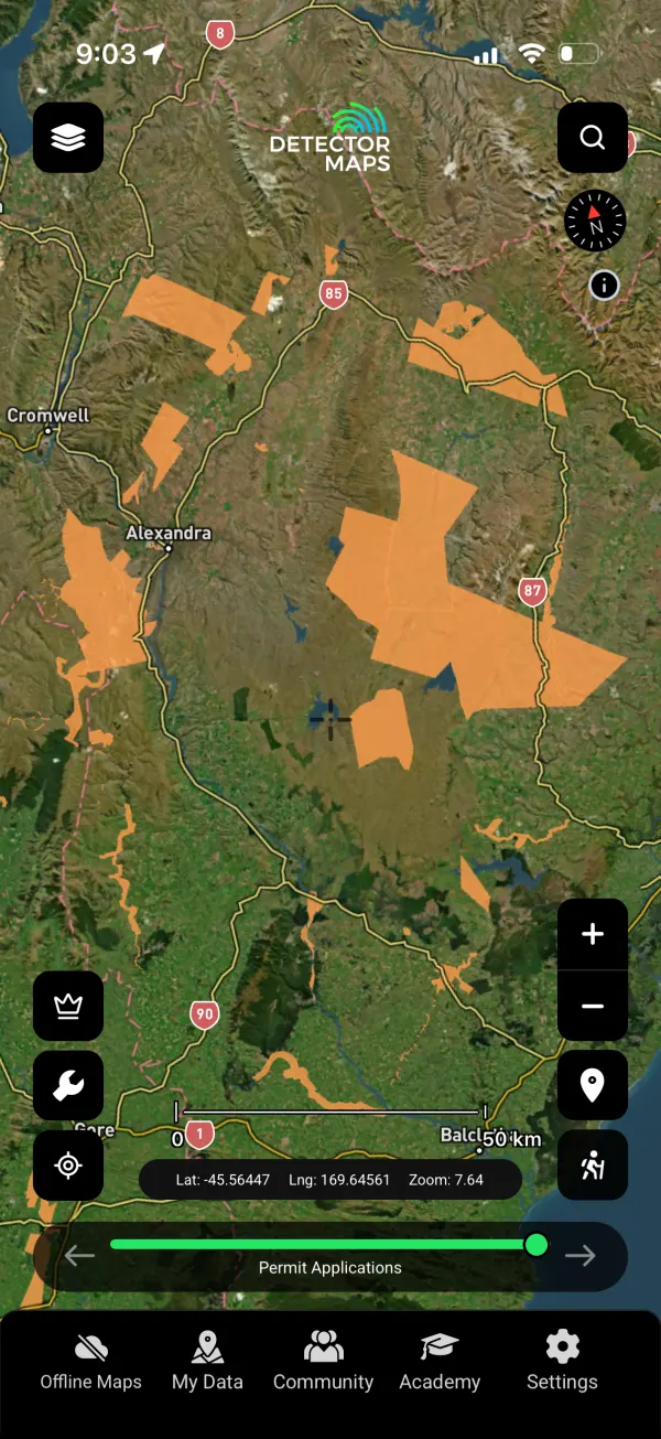
We watch the tenement registers daily. New applications, expiries, full and partial relinquishments — with the freed-up area mapped. A daily email digest plus a push the moment it happens.
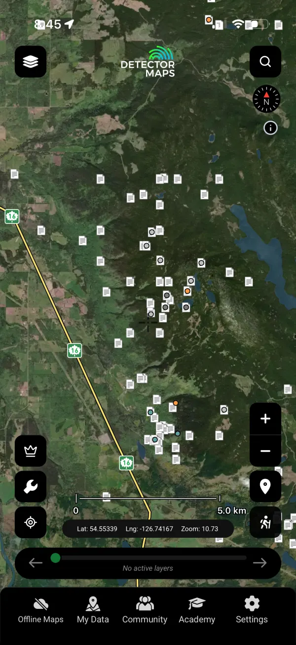
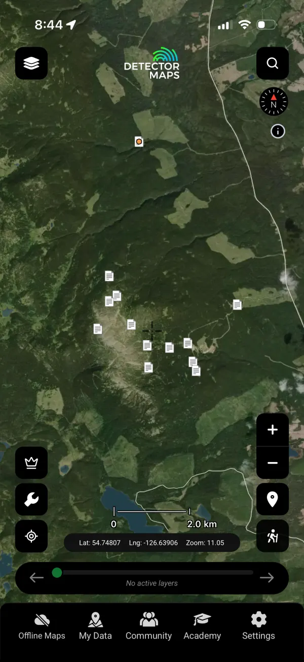
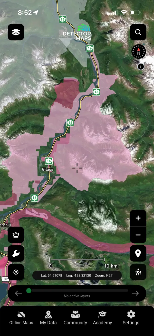
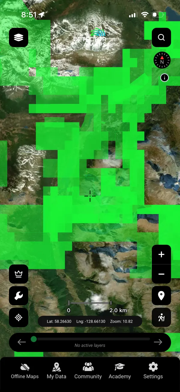
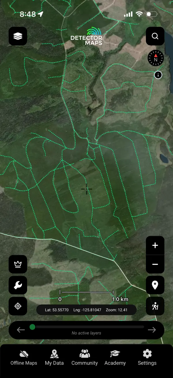
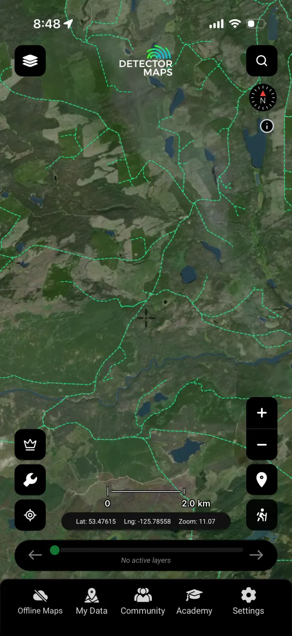
Canada starts in British Columbia
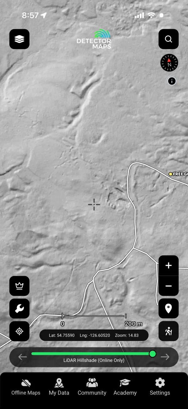
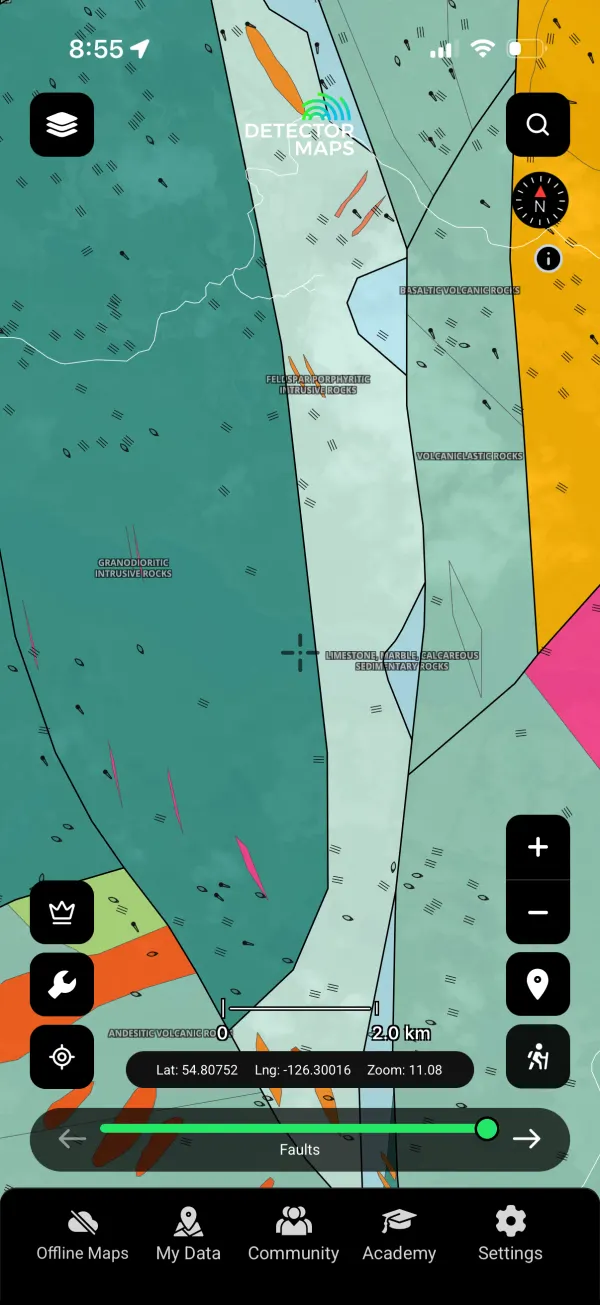
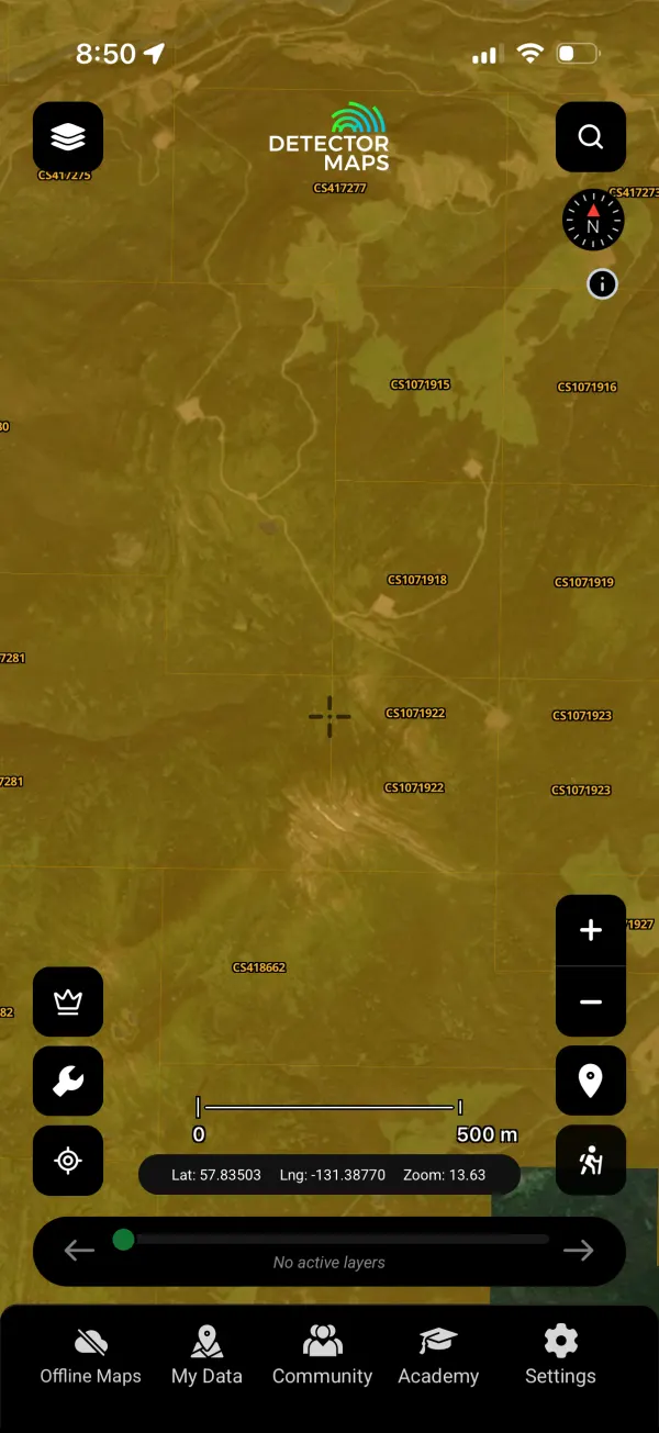
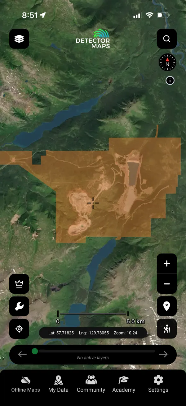
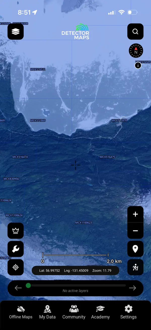
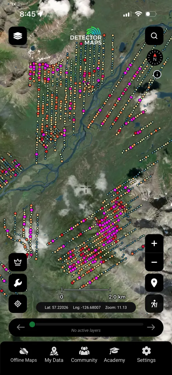
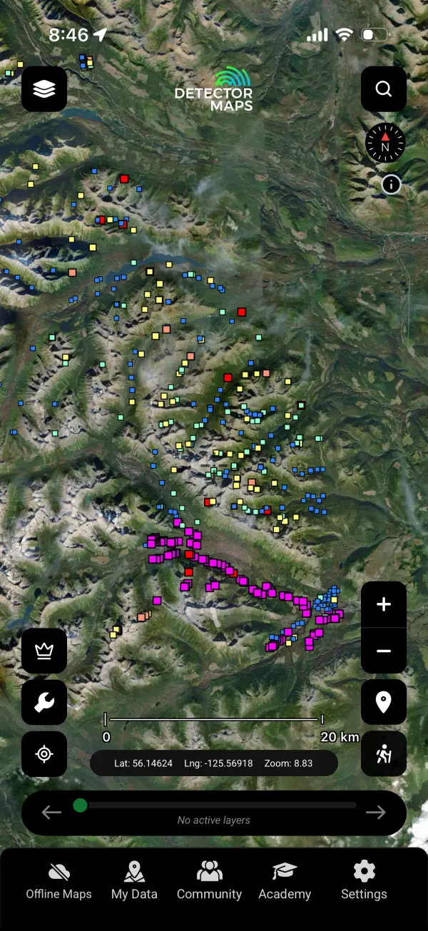
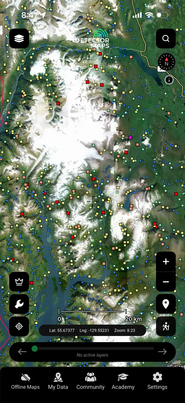
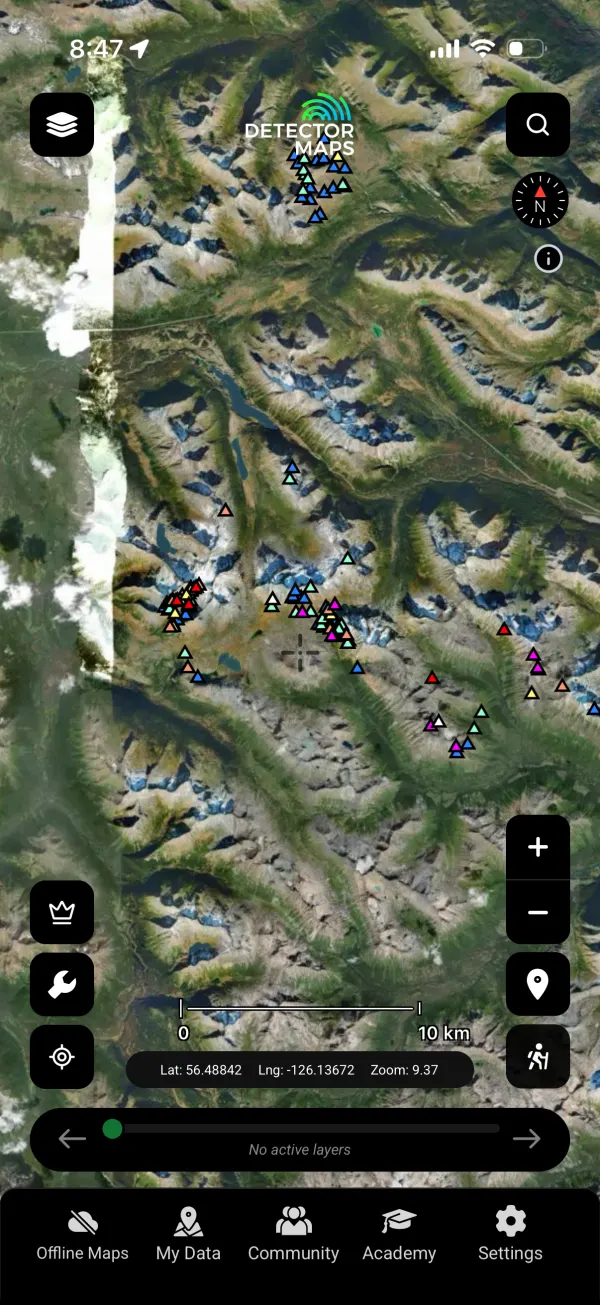
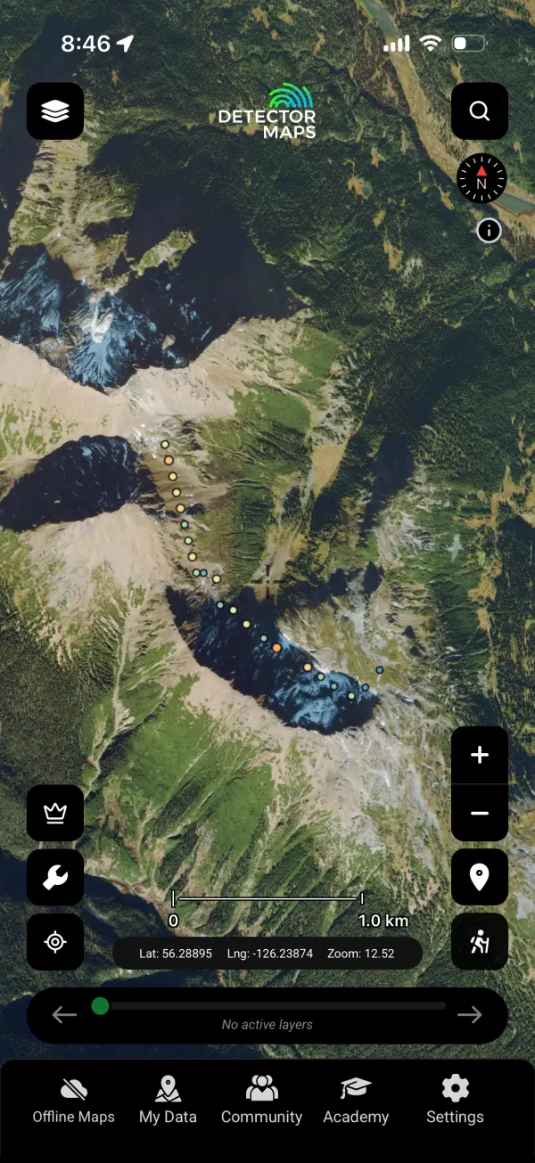
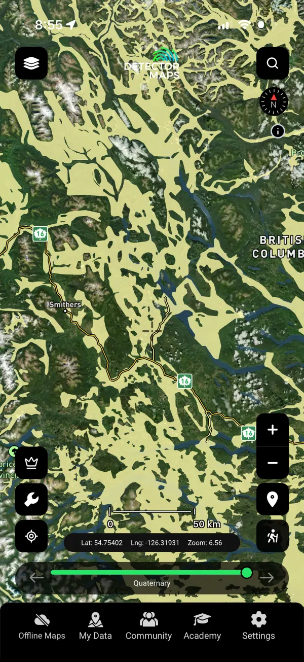
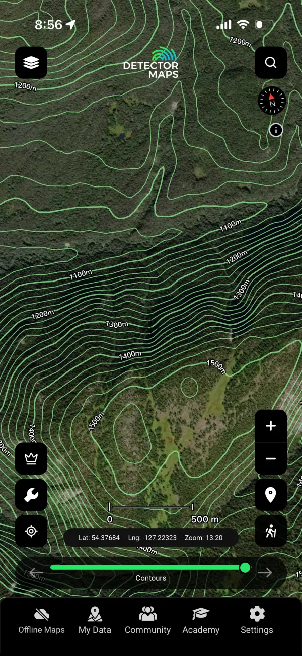
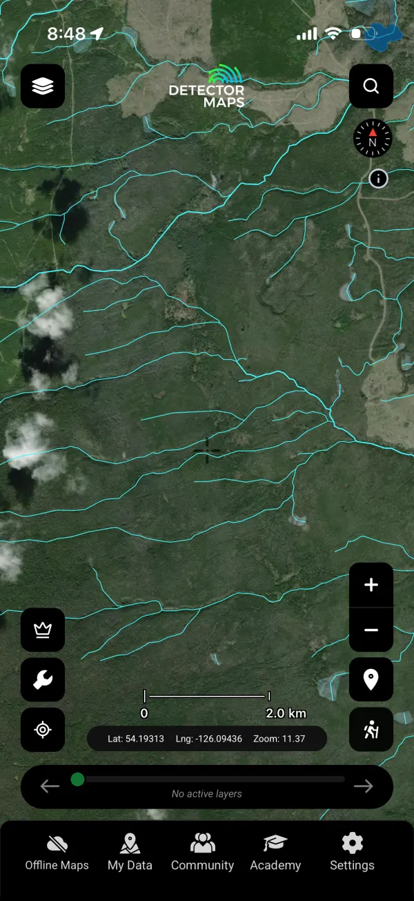
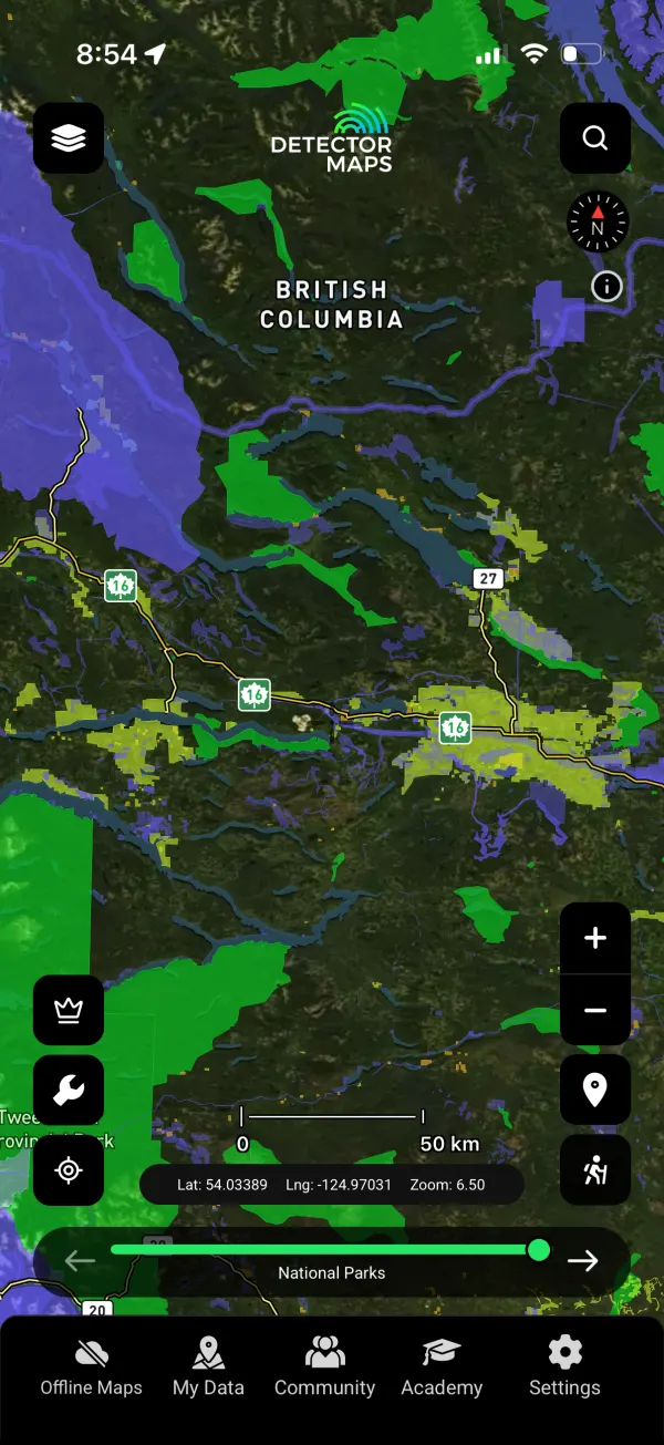
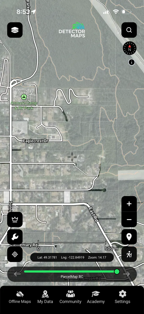
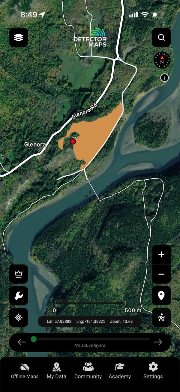
Our first region outside Australasia. British Columbia launches with 26 layers — current mining claims and Notice of Works, ARIS and prospector reports, bedrock and Quaternary geology, the full geochemistry suite from soils to talus, and 1-metre LiDAR hillshade as a $50 add-on.




Explorer gets georeferencing and community maps
Two tools are now part of every Explorer plan. Image georeferencing pins any old goldfield map, mine plan or photo onto the live map so you can walk it on the ground. Community maps let you switch on shared layers other prospectors have already built. Both come standard in every Explorer plan — georeferencer uploads up to 1 GB, or 5 GB on Pro.


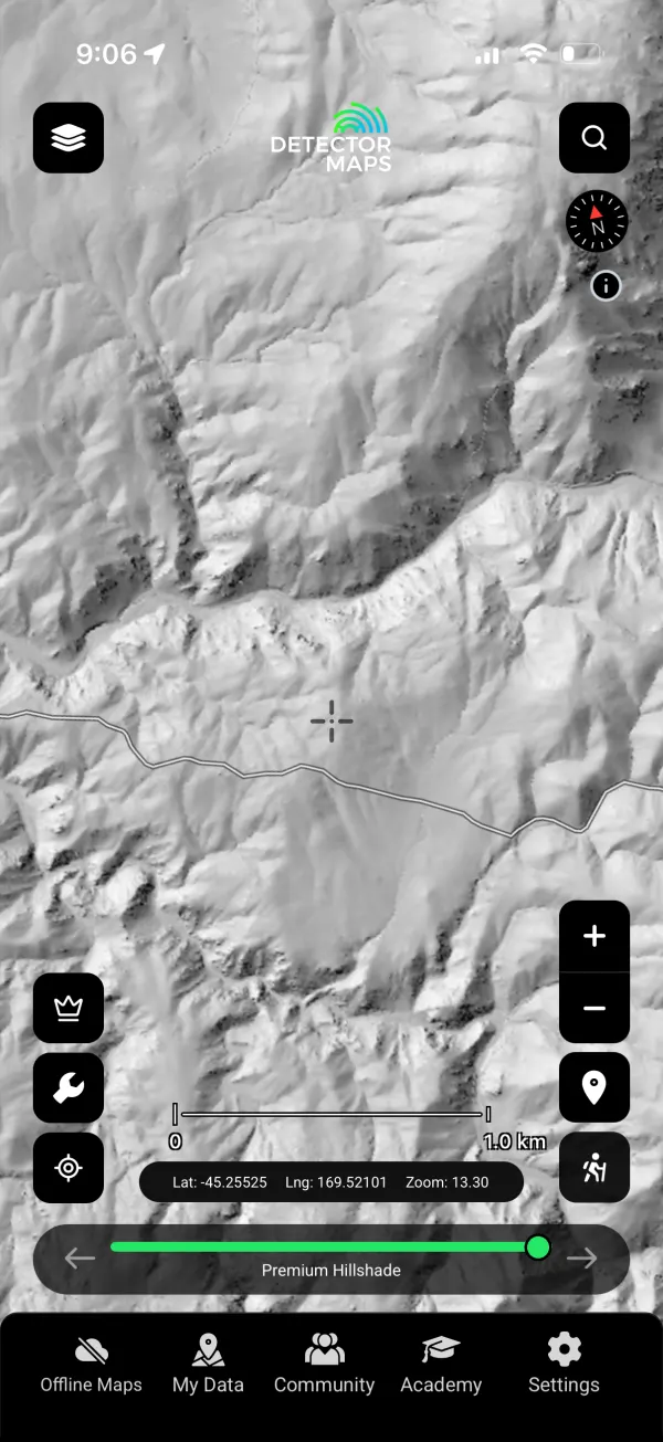
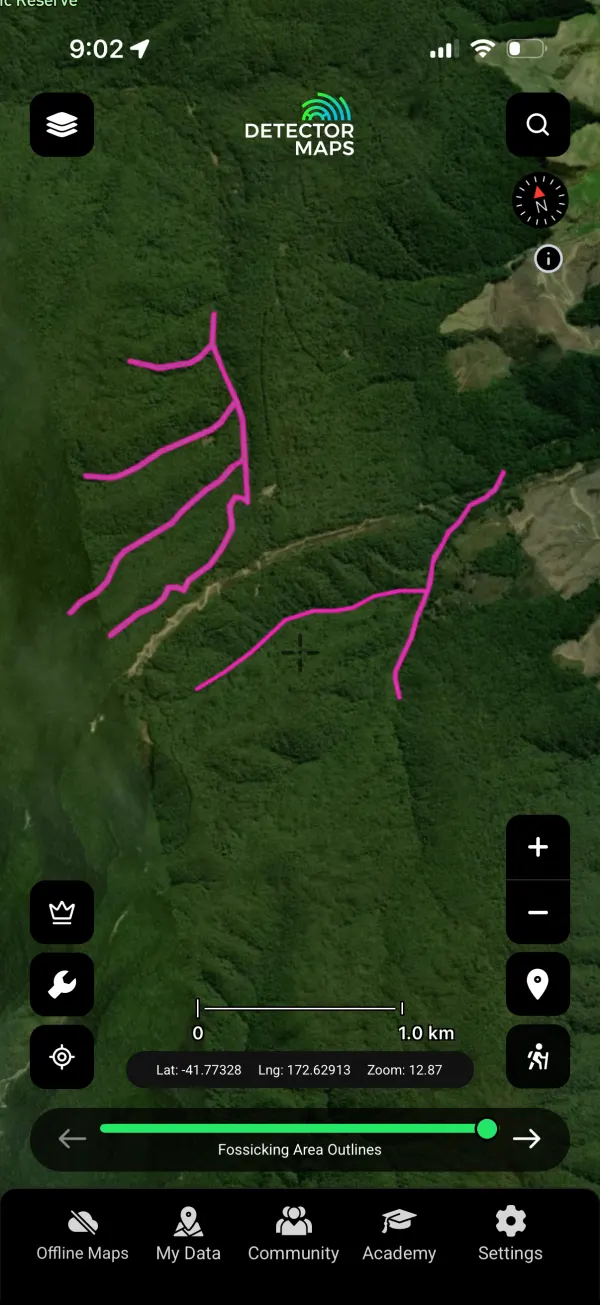
New Zealand, rebuilt
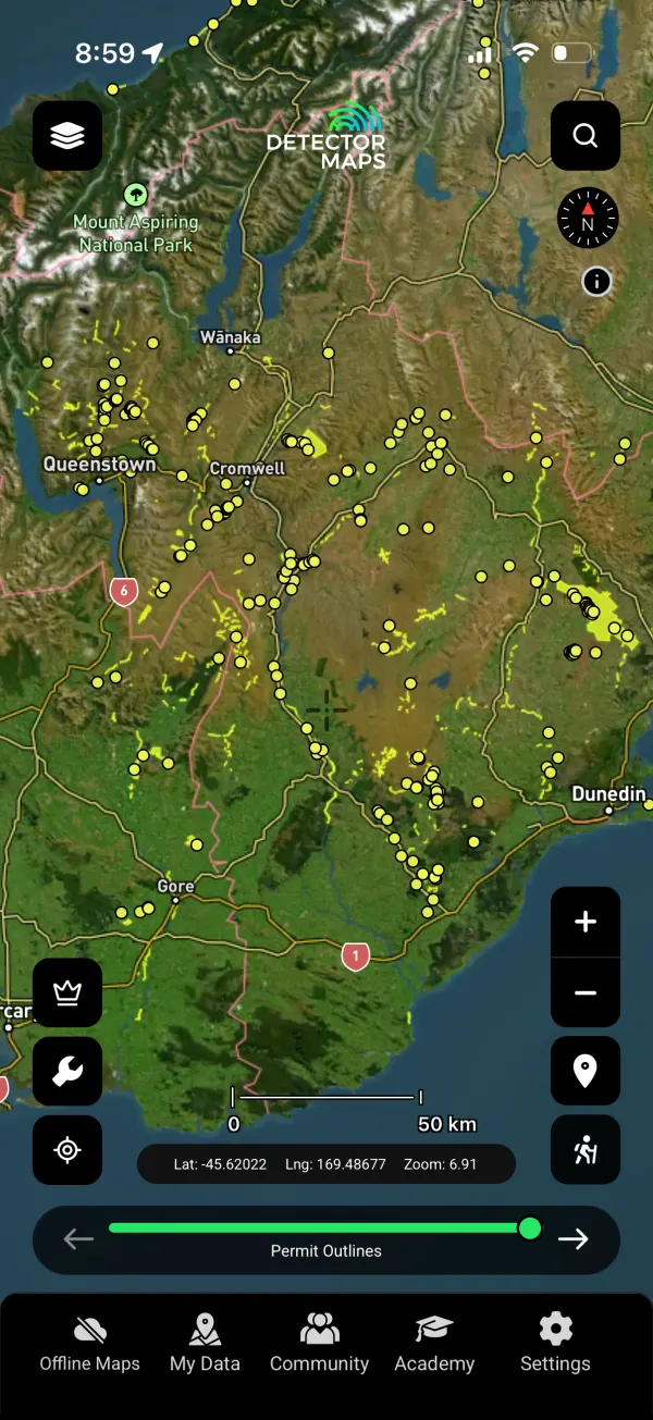
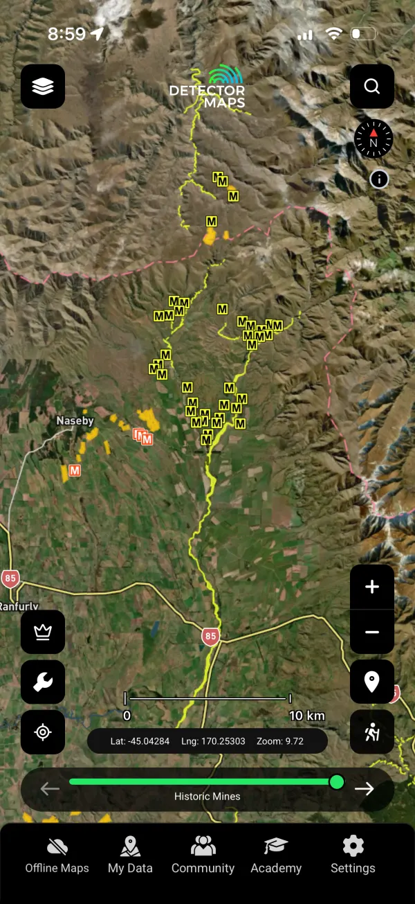
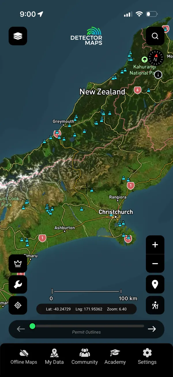
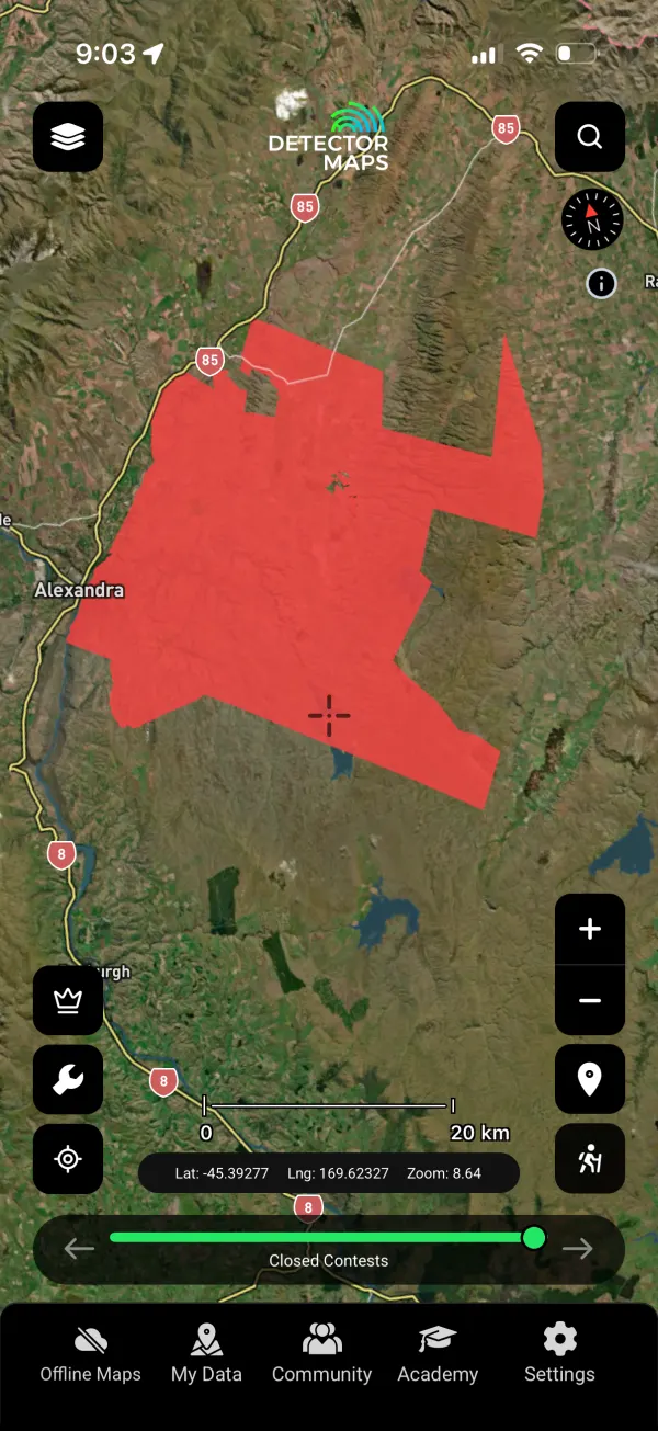
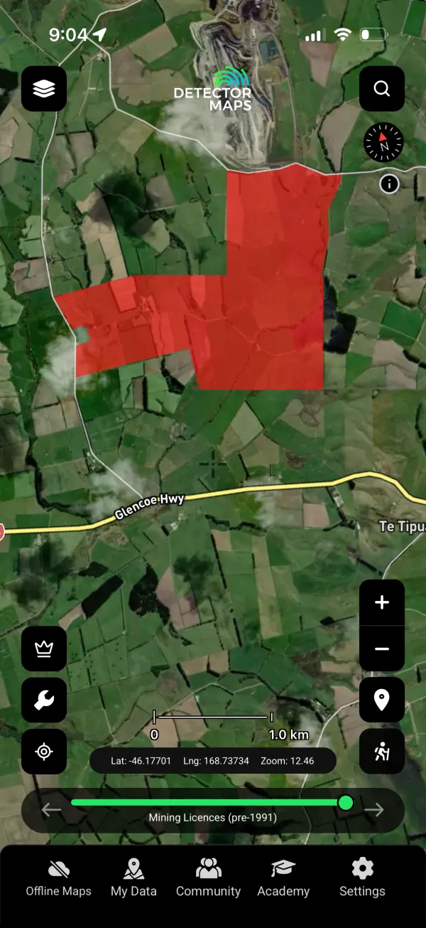
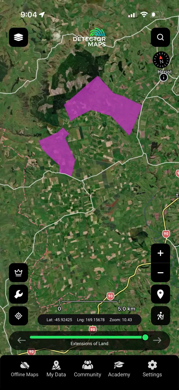
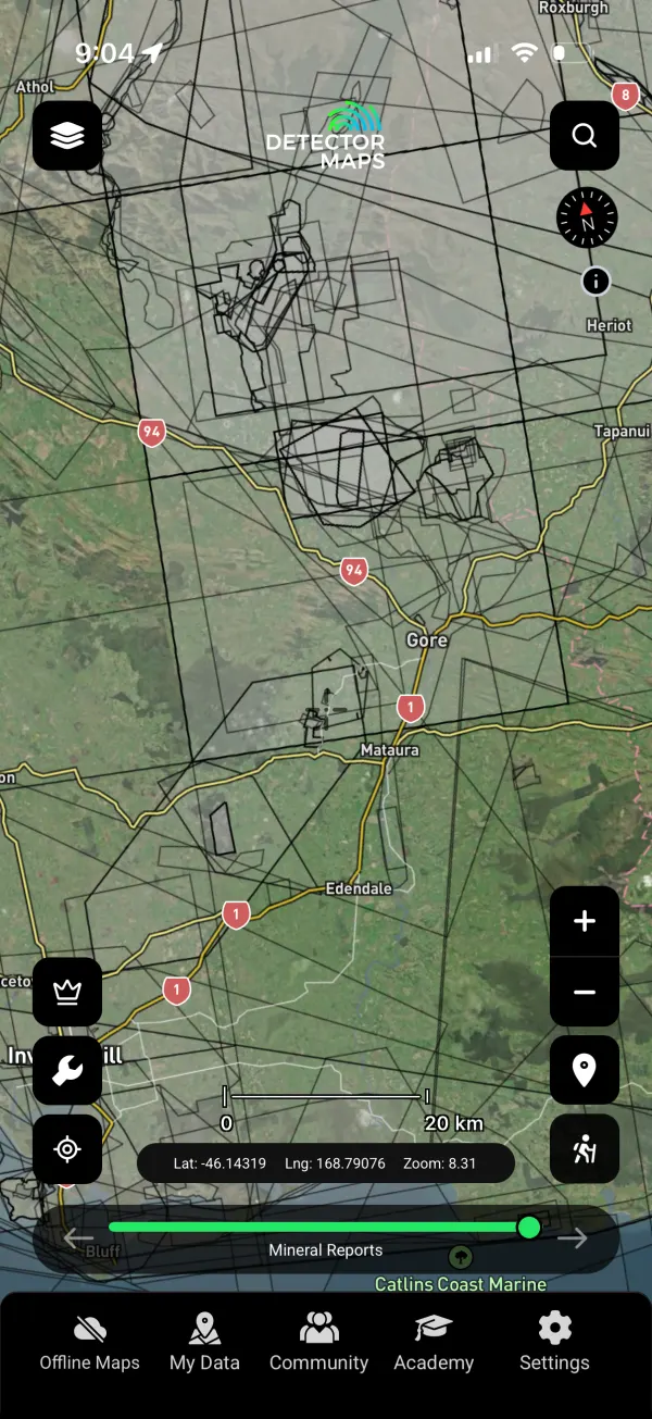
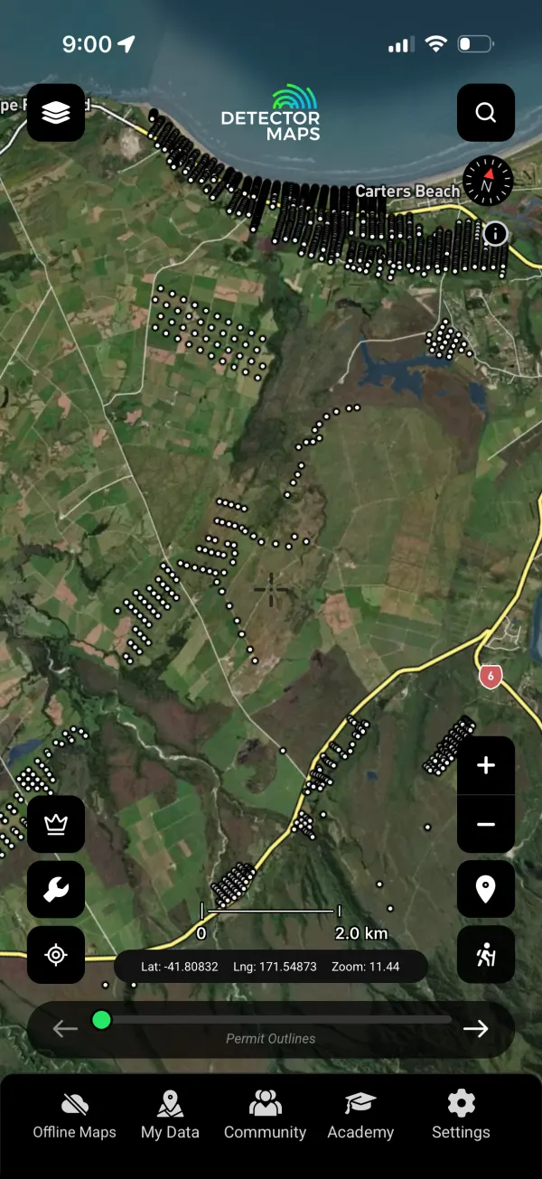
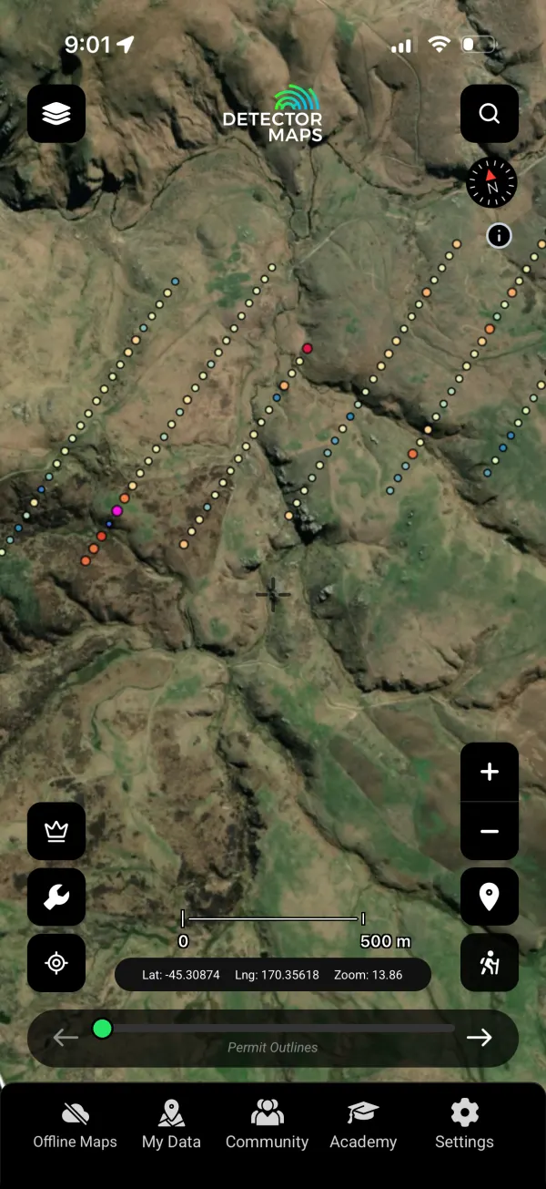
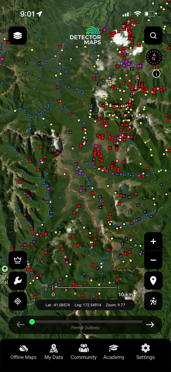
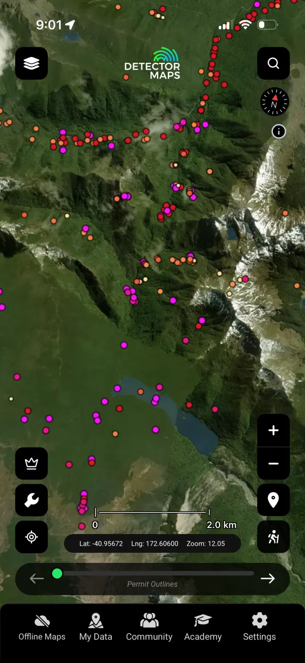
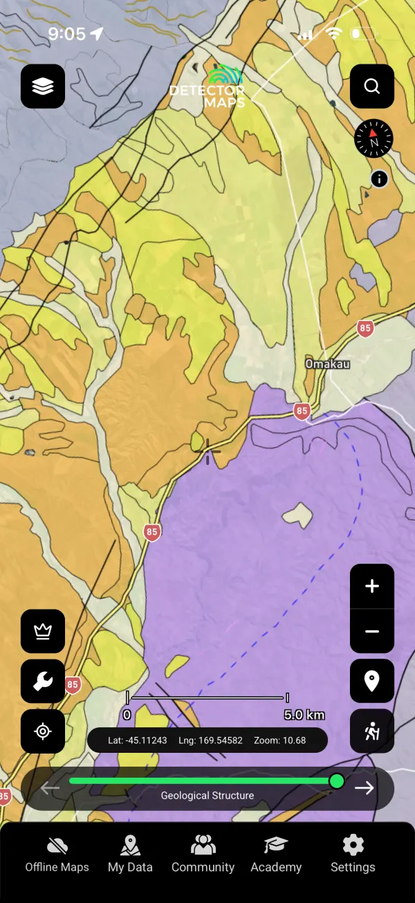
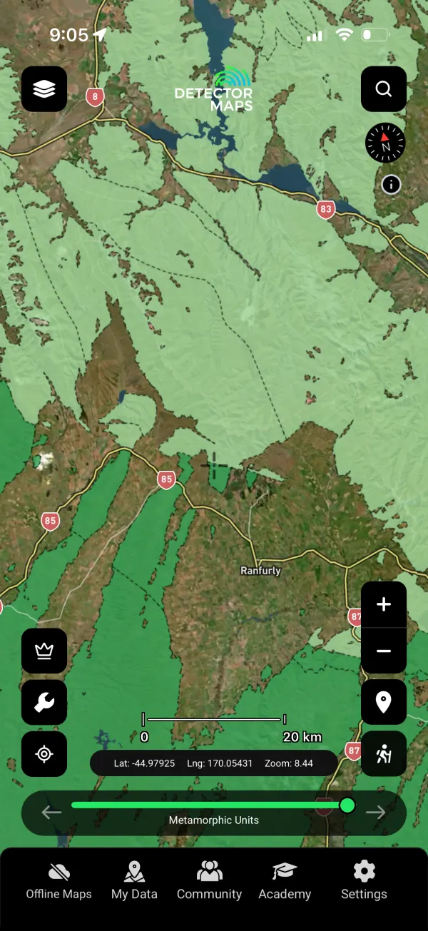
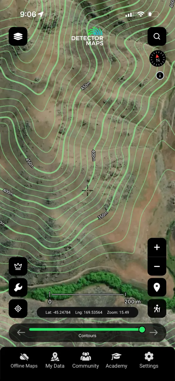
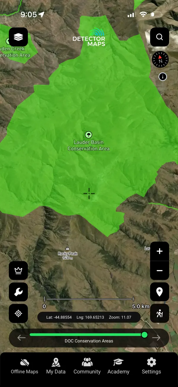
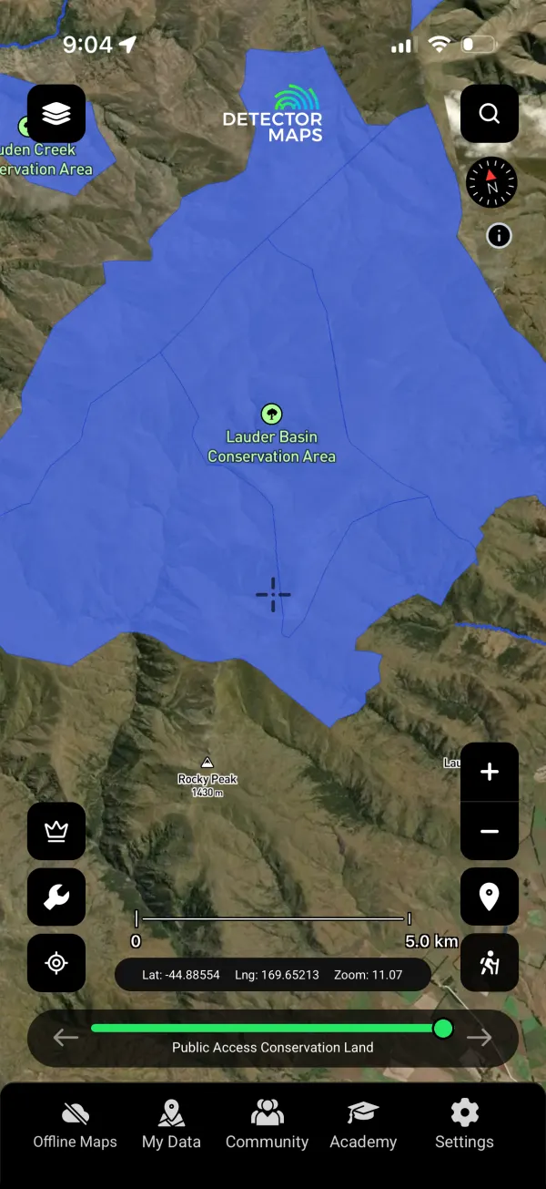
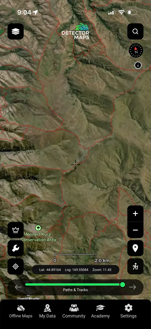
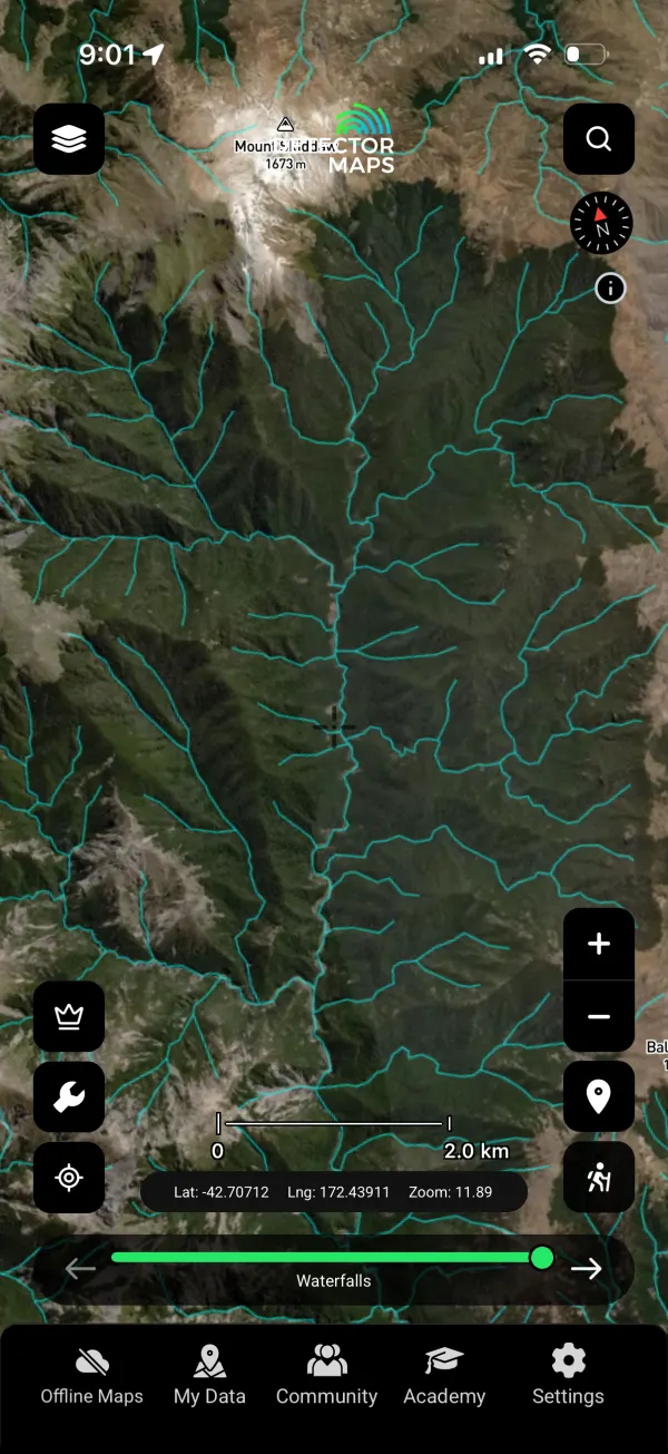
New Zealand has been revamped end to end — 27 layers covering gold fossicking areas, permits from applications to pre-1991 licences, historic mines and sites, DOC conservation and public-access land, and the geochemistry set. The 1-metre LiDAR hillshade is free.






Take it for a swing
Everything above ships on 17 June. One subscription, every region, three devices.
Start free trialStart free for 3 days on any yearly plan — nothing charged until the trial ends.
Want new features before release day? Apply for beta access →