Start free trial

Start free for 3 days on any yearly plan — nothing charged until the trial ends.

Open the map
THE FIELD TOOL

Every layer worth checking, on one map you can take off-grid

Detector Maps pulls scattered public records and licensed, hard-to-find data into a single field map — built for gold prospectors and coin & relic hunters, not borrowed from a generic basemap.

Plan on the big screen, download your ground, then take your layers into the field with no signal. Available layers vary by region.

BUILT FOR THE HUNT

Not a basemap. A map built to find ground.

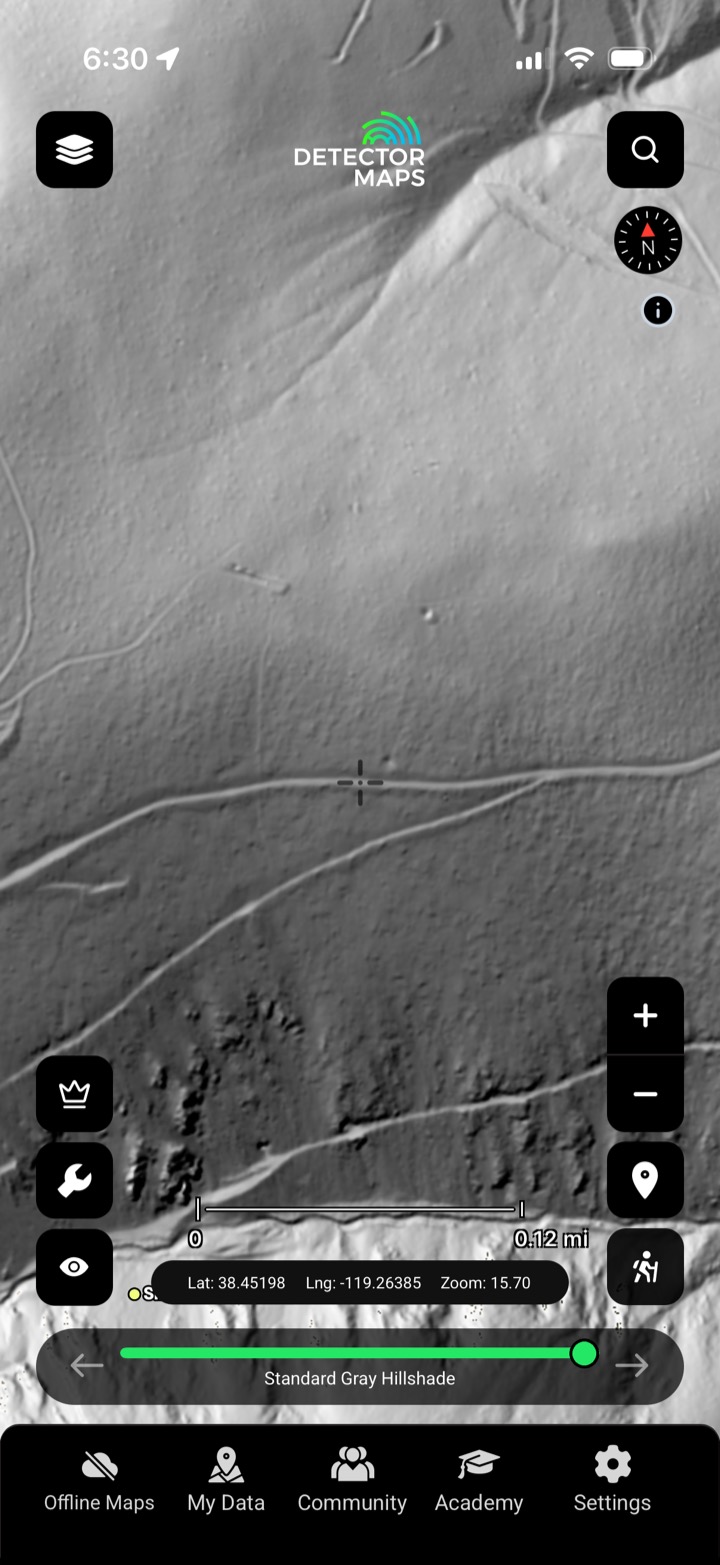
Every layer here was chosen for one job: reading the ground before you swing. Geologists curate the prospecting stack — LiDAR, geochemistry, historic workings, geology and tenure — while heritage data drives the coin & relic side.

It’s the opposite of a generic basemap. Tap any feature and the source record opens — not a guess. Availability varies by region.

Curated by geologists
The prospecting stack — LiDAR, geochemistry, geology, workings and tenure — chosen for reading gold ground.
Heritage data for the UK
Coin, relic and archaeology layers built from historic maps and find records, not gold geology.
Named, licensed sources
USGS, BLM, state geological surveys and more — hard-to-find data, properly sourced.
Tap through to the record
Open the source document behind a feature, so you’re reading evidence, not a guess.

The prospecting stack is built for gold (Australia, US, New Zealand & Canada); the UK is built for coin & relic and archaeology detecting. Layers vary by region.

Tools for the field

More than a map in your pocket.

Bring your own maps, pull in the community’s, take every layer off-grid, and find your way back — the tools that turn a map into a day’s prospecting.

Image georeferencer

Pin any old map, mine plan or photo onto the live map and walk it on the ground.

Community maps

Switch on shared map layers other prospectors have already built.

Offline maps

Download 10+ areas of 250 km² each and take every layer off-grid, no signal.

1-metre breadcrumb trails

Record your track to ~1 m and retrace your exact route back to the car.

DETECTOR MAPS ACADEMY · COMING SOON

Learn to read the ground.

Short, in-app lessons on reading the layers, the geology and the law — so beginners get productive fast and seasoned hunters sharpen the edges.

It’s on the way. Sign up and we’ll let you know the moment Academy opens.

Read the layersUnderstand the geologyKnow the law
PRO · GROUND SCANNER

Search the record. Skip the 400 pages.

Search hundreds of thousands of historic exploration reports by keyword, company or commodity, and the map lights up wherever your term appears across the record. Tap a hotspot to open the reports underneath, and get an instant AI summary instead of reading a 400-page PDF.

Then watch the ground you care about. In Australia, British Columbia and New Zealand only (not the US or UK), Pro adds daily alerts on claims, tenements and permits — so you stay on top of who holds what, the moment it shifts.

Keyword, company or commodity
Search the full text of the exploration record — a commodity, a company, a geological phrase.
Heatmap the mentions
The map lights up wherever your term clusters across the reports.
Instant AI summary
The bottom line in plain English, instead of reading a 400-page PDF.
Daily tenure alerts
Get notified when claims, tenements and permits change on ground you’re watching.

Pro report search, AI summaries and tenure alerts are available in Australia, British Columbia & New Zealand only — not the US or UK.
PROPERLY SOURCED, NOT SCRAPED

Data a free app can't show you.

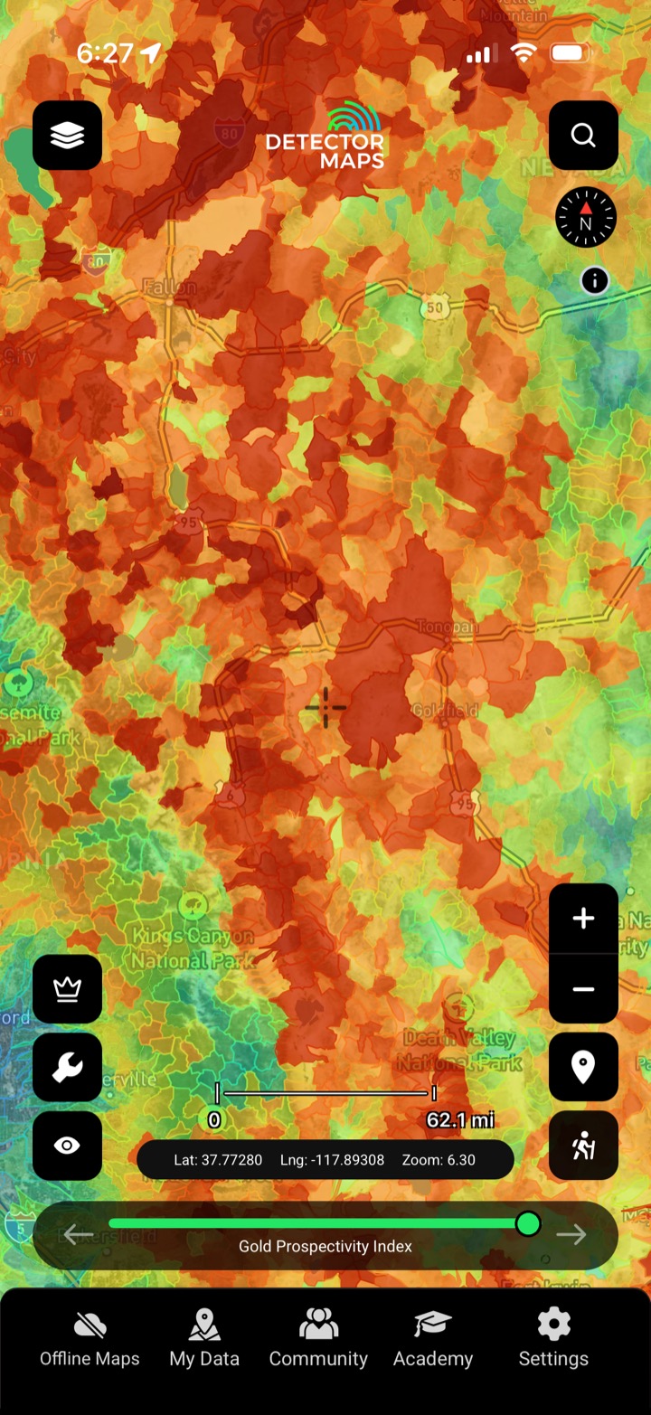
We license hard-to-find datasets and layer them over authoritative public sources — then put a name on every one. Nothing here is scraped or guessed; every layer ties back to a real, named source you can verify. Availability varies by region (multi-element geochemistry, for example, is US-only).

USGS, BLM & 3DEP LiDAR

Federal data and 1-metre bare-earth LiDAR terrain (US).

Geological surveys

State and national survey mapping (multi-element geochemistry in the US).

Environment Agency LiDAR

National LiDAR earthworks for UK ground.

GB1900 & BlueSky NDVI

Historic gazetteer plus crop-mark imagery (UK).

REAL FINDS, REAL GROUND

Real prospectors. Real finds.

10,000+ prospectors log what they pull from the ground to a shared community feed — real finds, in dirt and metal, from the people working the same maps you do.

Every find can earn likes, and the most-liked find each month wins a prize.

10,000+ prospectors
A community sharing finds across every region we map.
A shared finds feed
Members log their real finds from the field.
Most-liked find wins
The single most-liked find each month takes a prize.
See the finds feed
ONE MAP, EVERYWHERE

Everything you need, in one map.

Licensed layers, offline areas, breadcrumb trails and the community feed — all in the same app, wherever you hunt. Layer availability varies by region. Web, iOS and Android, synced across all three.

Plan at home, hunt off-grid, and start free.

Pro tools (exploration-report search, AI report summaries and tenure alerts) are available in Australia, British Columbia & New Zealand only.

3-day free trial · Nothing charged until it ends · Cancel anytime

