Detector Maps
Start free for 3 days on any yearly plan — nothing charged until the trial ends.
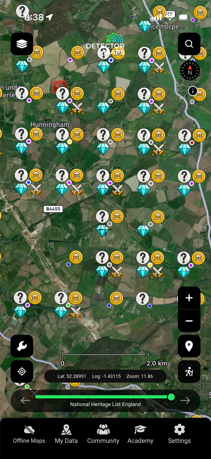
Start where history surfaces
Hundreds of thousands of recorded finds and find-spots from the Portable Antiquities Scheme and the historic record — mapped where they were actually found, so you can read the ground that's already producing.
- Read the find-spots. See where recorded finds have actually come out of the ground.
- Filter by what matters. Drill into the finds and periods that interest you.
- Spot the productive ground. Clusters of recorded finds flag land worth a closer look.
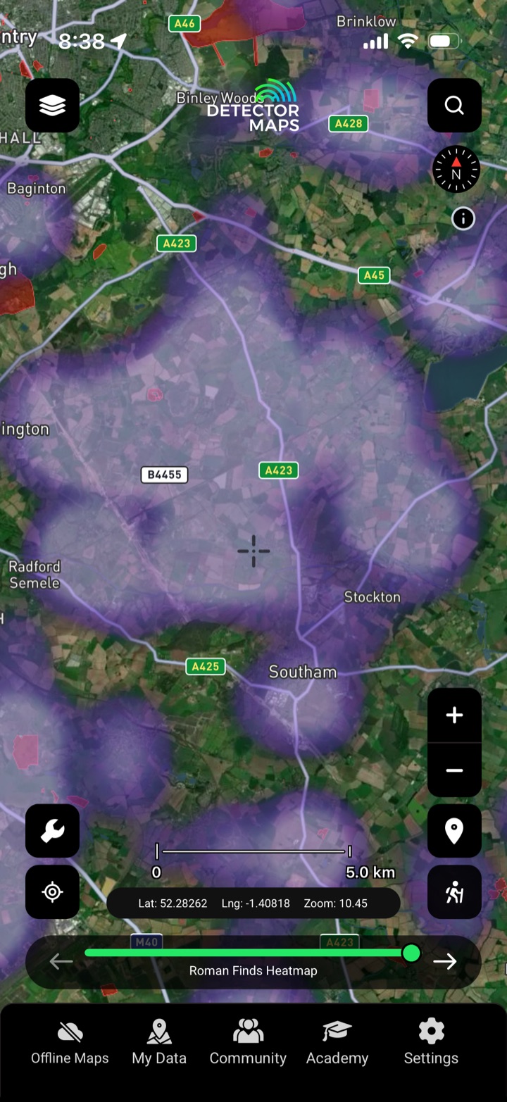
Read the landscape by era
Density heatmaps built from the recorded record — Roman, Bronze Age, Iron Age, early-medieval, medieval and post-medieval — so you can read where each period was active across the landscape.
- One era at a time. Switch between periods to read where each was active.
- Hotspots at a glance. Density shading flags the busiest ground for a period.
- Match field to period. Line up a heatmap with land you can access.
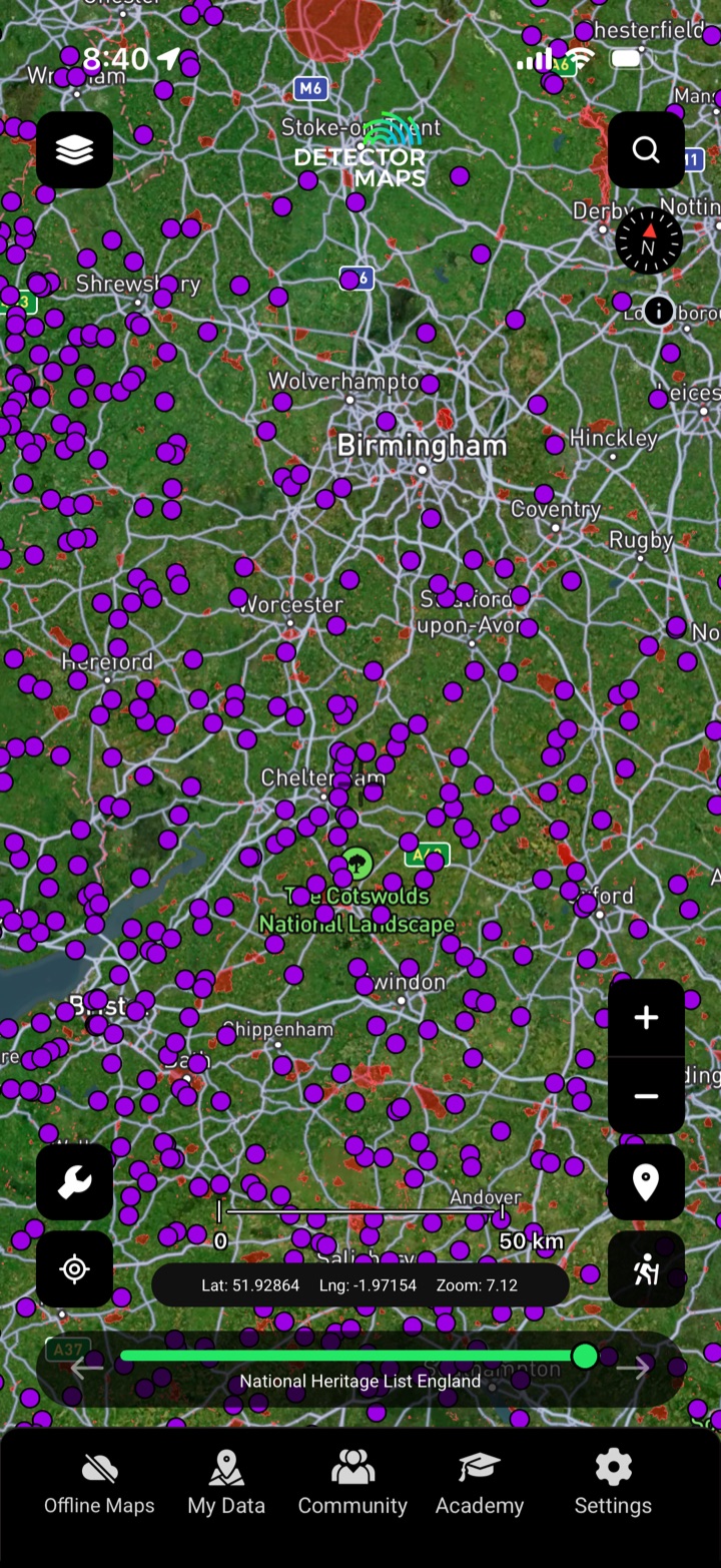
Context — and the no-go ground
Hillforts, scheduled monuments, battlefields, historic sites and Roman roads — mapped so you can understand the landscape around you, and stay well clear of the ground that's protected.
- Read the landscape. Hillforts, roads and sites show how people used the land.
- Know the no-go ground. Scheduled monuments are legally protected — detecting on them is an offence.
- Follow the routes. Roman roads and routeways trace where people travelled.
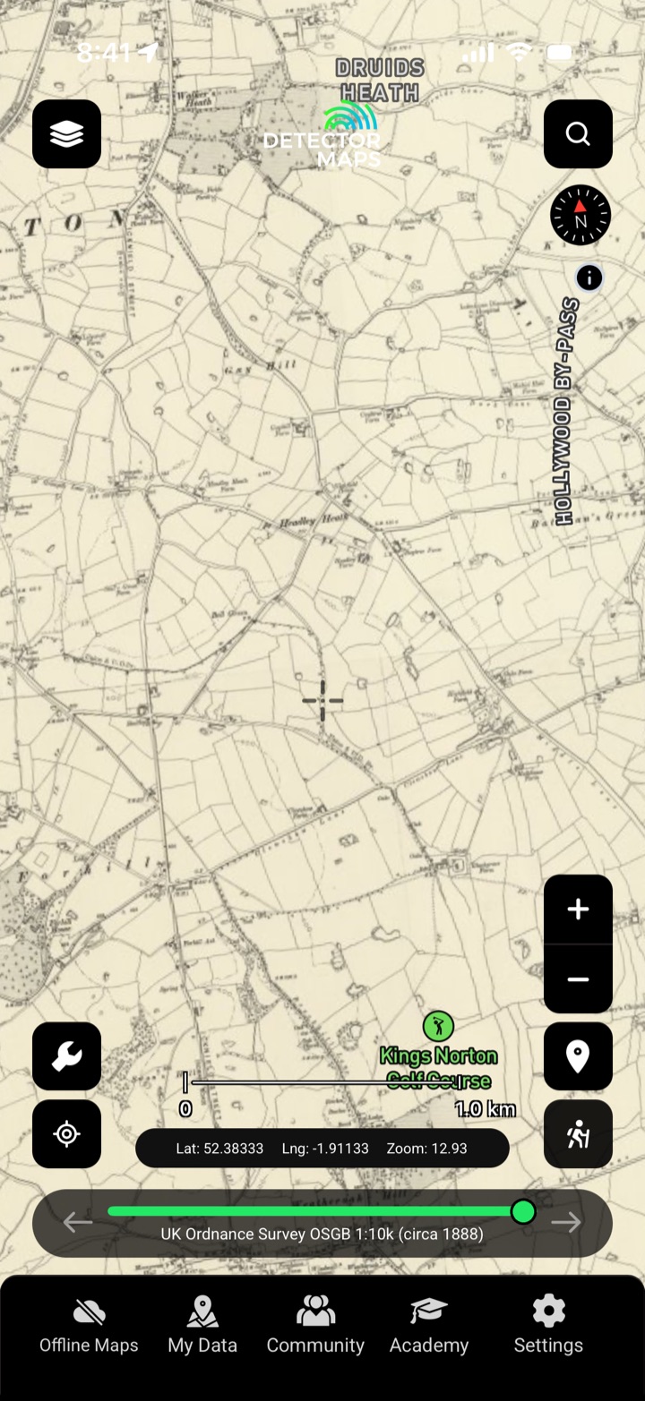
Yesterday's map over today's field
Georeferenced historical Ordnance Survey maps — from the 1880s OSGB through the One-Inch 'Hills', 1919–1947 and 1937 editions — plus GB1900 historic place names, overlaid on today's ground.
- Spot vanished features. Old buildings, fairs and routes that today's map forgot.
- Compare eras. Fade between historical editions and today.
- Historic place names. GB1900 names point at old land use.
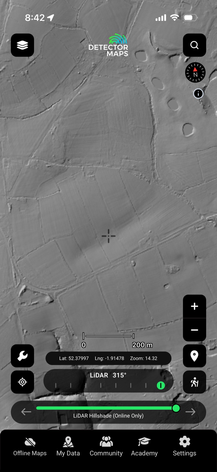
Read the earthworks
High-resolution bare-earth LiDAR — multi-angle hillshade and slope renders — strips back the vegetation so earthworks, platforms, old field boundaries and trackways stand out across the ground.
- Bare-earth detail. 1-metre LiDAR reads subtle earthworks.
- Multiple angles. Custom multi-angle hillshade catches features one light misses.
- Slope view. Slope shading highlights banks and ditches.
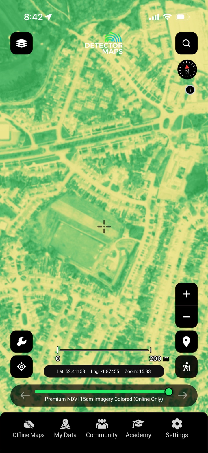
The buried, written in the crop
NDVI vegetation imagery reveals crop-marks — buried ditches, pits and walls that stress the plants growing above them — processed and mapped exclusively in Detector Maps, alongside historic aerial studies.
- See the crop-marks. Buried ditches and walls stress the crop above them.
- Exclusive processing. NDVI rendered for archaeology only in Detector Maps.
- Pair with airborne studies. Historic aerial surveys back up what NDVI shows.
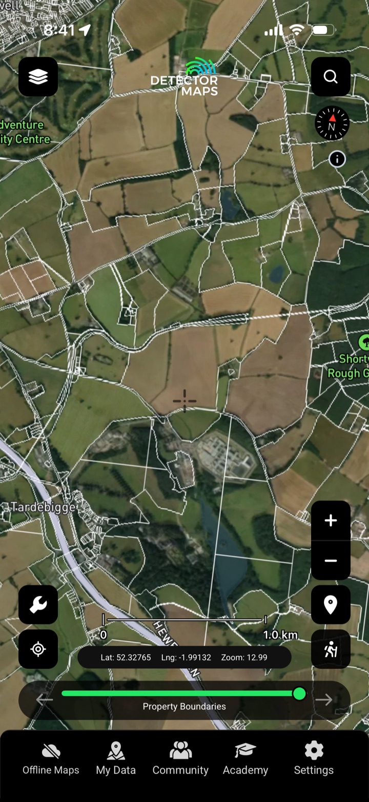
Permission first, always
Property boundaries, no-go zones, designated sites, ancient woodland, footpaths and watercourses — so you turn up at the right door and detect only where it's legal and you've been given permission.
- Property boundaries. See parcels so you ask the right landowner.
- No-go zones. Protected and restricted ground, flagged up front.
- Designated sites. SSSIs and ancient woodland you must avoid.