Detector Maps
Start free trial
Start free for 7 days on a yearly plan — nothing charged until the trial ends.
4.7/5 · 2,400+ ratings10,000+ prospectors50,000+ exploration reports
Open the map
In the app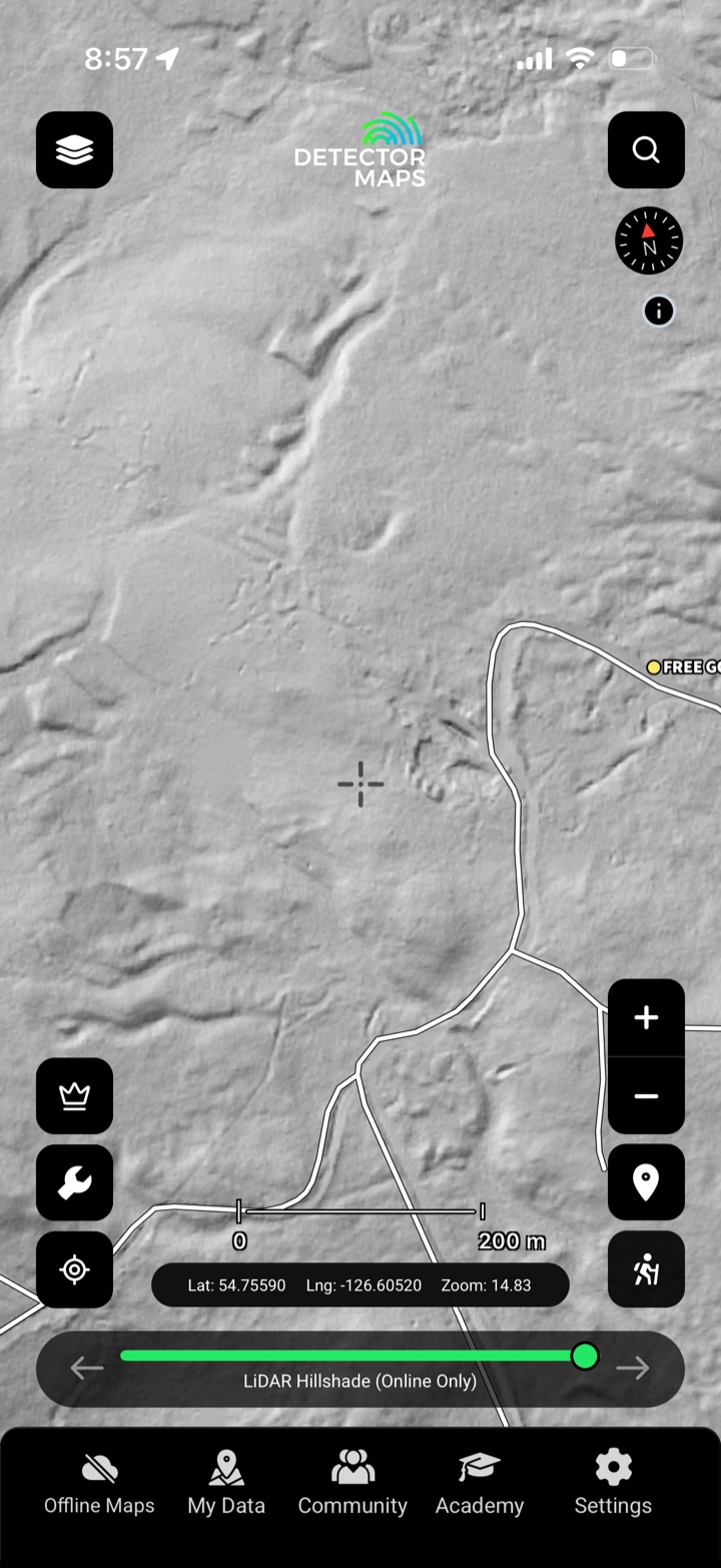
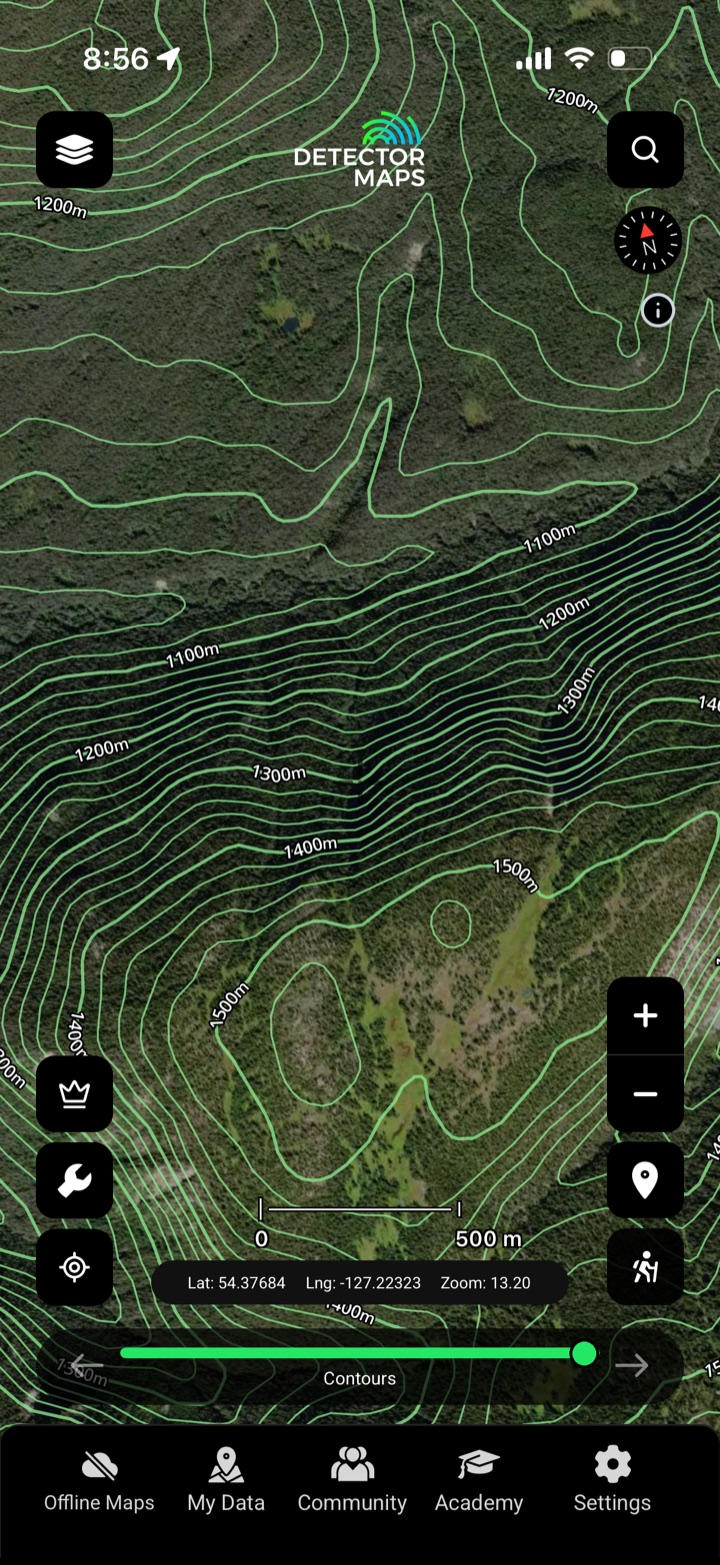
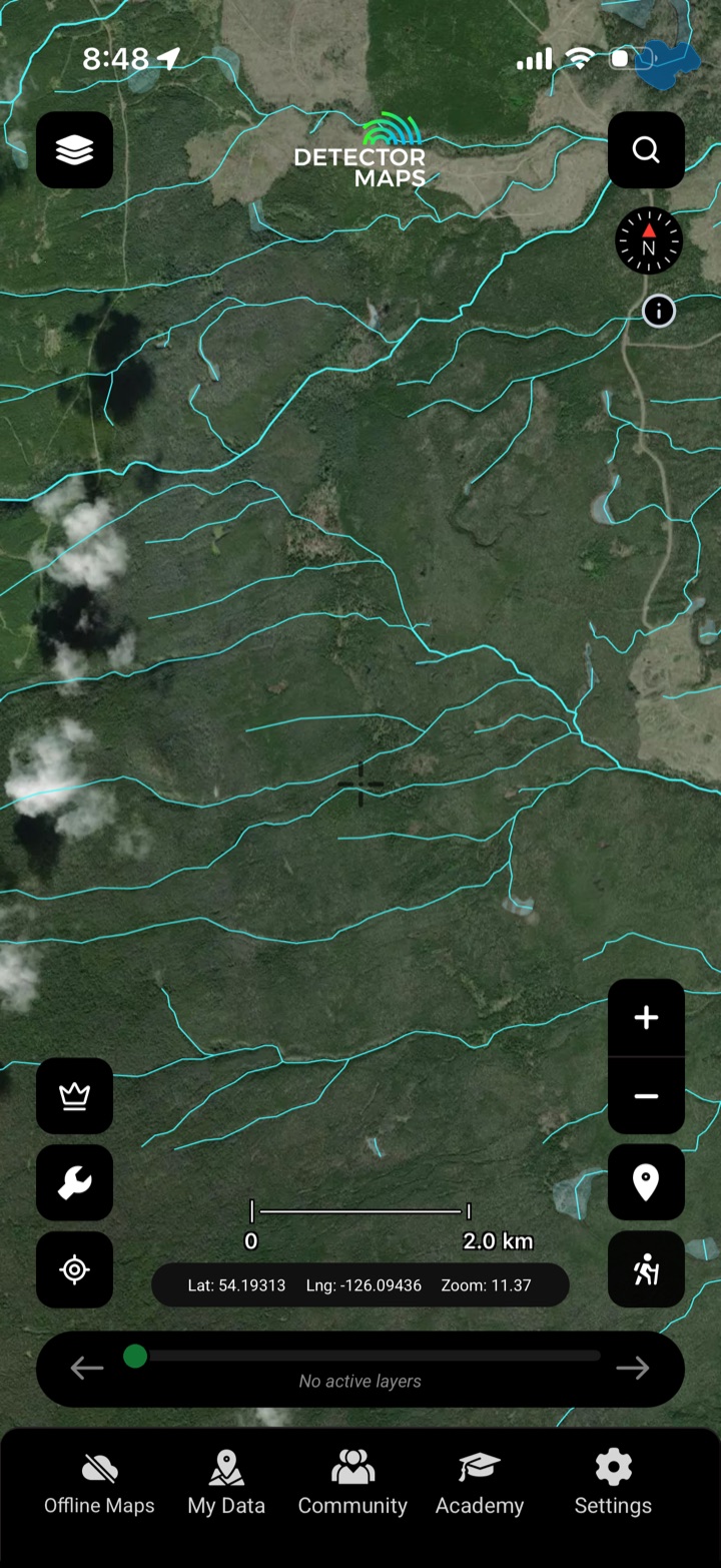
Read the bare earth
LiDAR hillshade
1-metre bare-earth.
Contours
Read the gradient.
Watercourses
Where placer runs.
Explore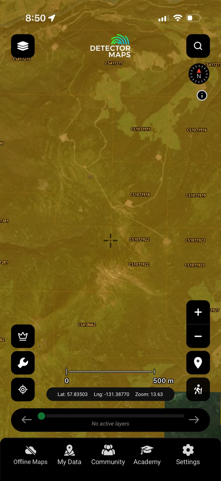 Mineral claimsKnow whose ground you're on.Explore →
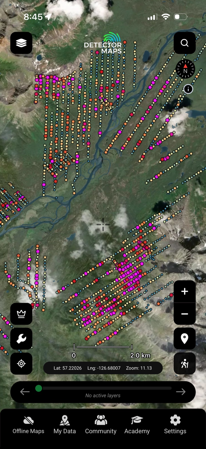 Surface geochemistrySoil, stream, till & rock assays.Explore →
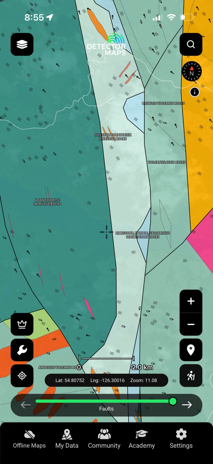 Bedrock & surficial geologyThe rocks that host the gold.Explore →
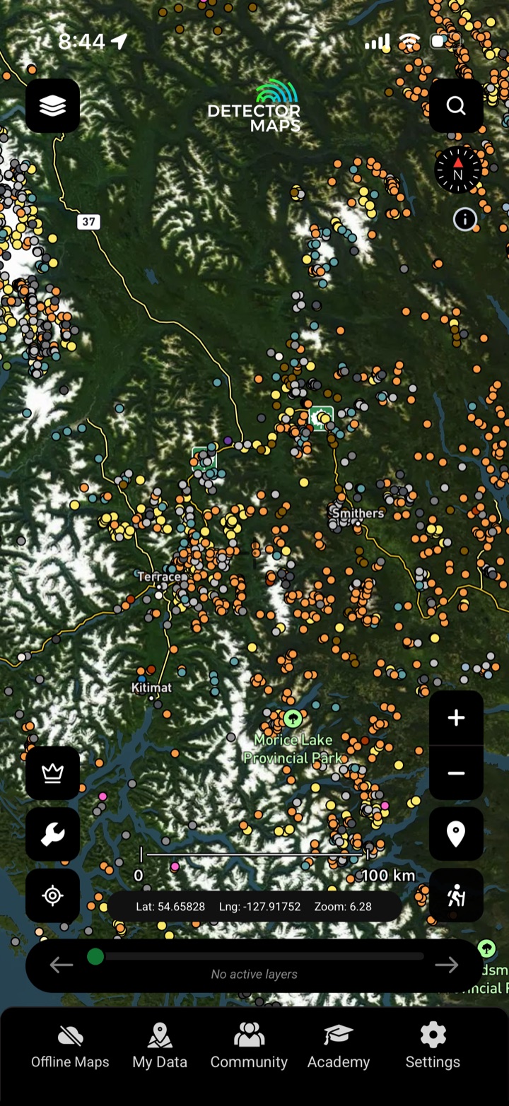 Gold occurrences & minesStart where gold's come out.Explore →
 Exploration reportsARIS, property file & prospector data.Explore →
 Access & landRoads, parks & boundaries.Explore →
Explore the other layers.
Mineral claimsKnow whose ground you're on.Explore →Surface geochemistrySoil, stream, till & rock assays.Explore →Bedrock & surficial geologyThe rocks that host the gold.Explore →Gold occurrences & minesStart where gold's come out.Explore →Exploration reportsARIS, property file & prospector data.Explore →Access & landRoads, parks & boundaries.Explore →