 Detector Maps
Start free for 3 days on any yearly plan — nothing charged until the trial ends.
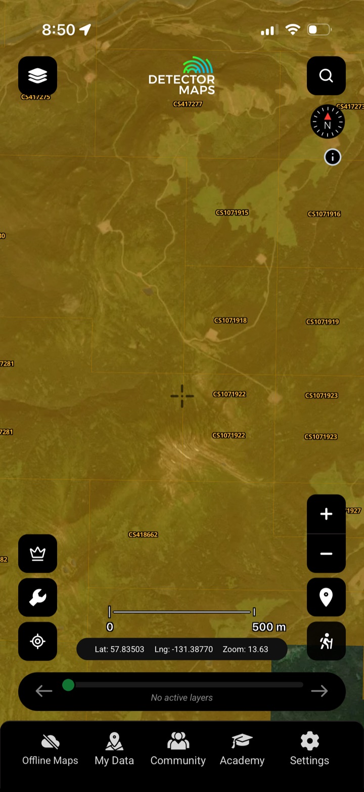
Is the ground open?
Every current mineral claim, title submission, reserve and Notice of Work — mapped, colour-coded and tied to the official Mineral Titles Online record, so you know whose ground you're on before you head out.
- Check the claim first. Tap any claim to read its holder, tenure number and status before you commit a day in the bush.
- Spot the open ground. Available cells read at a glance between the active claims.
- Reserves & restrictions. See mineral reserves and no-staking ground up front.
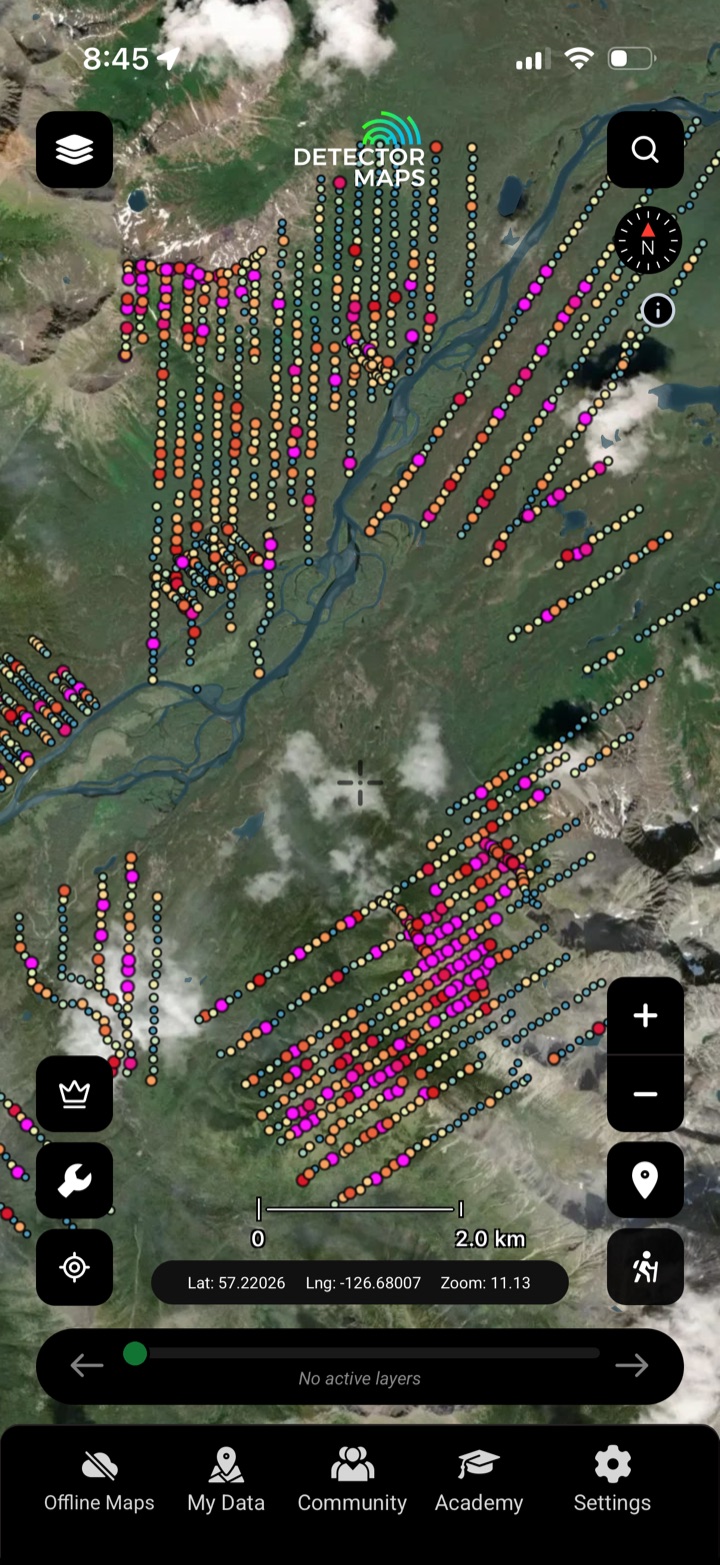
Read the ground's fingerprint
Regional stream-sediment, soil, till and rock-chip gold assays — plotted where the samples were actually taken, so you can read the anomalies that point at gold.
- Stream, soil, till & rock. Every sample medium, plotted at the collection site.
- Anomalies, not just dots. Read the clusters and highs that flag mineralised ground.
- Till tells the story. Glacial till geochem traces gold back up-ice to source.
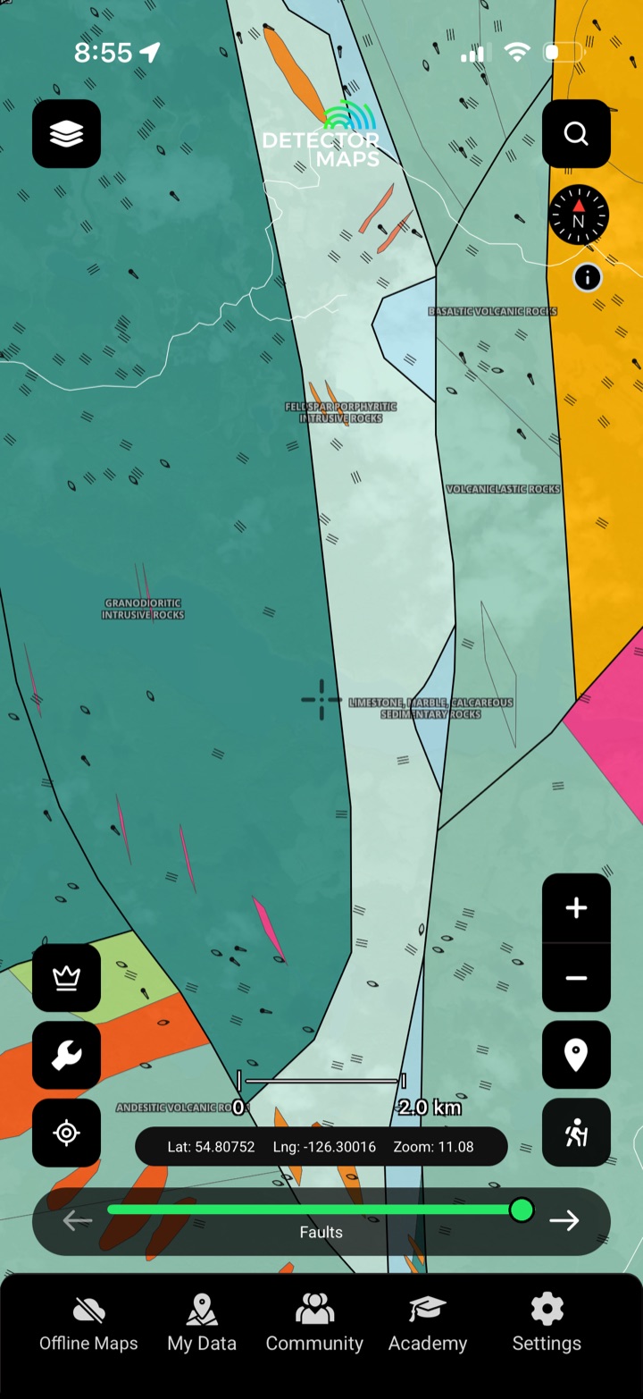
Gold follows geology
Seamless bedrock geology and Quaternary surficial cover from the BC Geological Survey — the units, faults and glacial story that control where BC's gold sits.
- Host rocks at a glance. See the belts, intrusions and units that carry gold.
- Faults & contacts. Structures where gold concentrates.
- Surficial cover. Quaternary geology shows what's hiding the bedrock.

History is the best lead
Recorded gold occurrences and major mines from BC's MINFILE inventory — mapped where the ground actually is, so you can prospect near proven gold.
- Recorded occurrences. Documented gold occurrences from MINFILE.
- Major mines. Where BC's biggest gold has come from.
- Prospect near proven gold. Work the edges and overlooked ground around known finds.

Don't repeat the work
Decades of public exploration reports — ARIS assessment work, the property file and prospector reports — indexed on the map so you can stand on someone else's results before you spend a dollar.
- ARIS assessment reports. Decades of filed exploration work, mapped to ground.
- Property file. Historic company and government documents.
- Prospector reports. Field notes and finds from the ground.
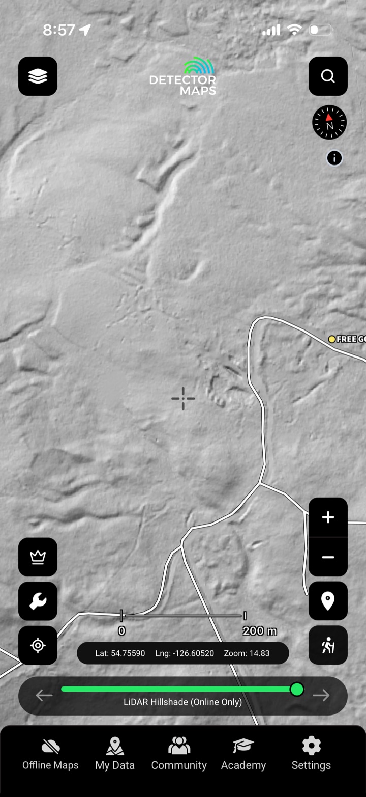
Strip away the timber
High-resolution bare-earth LiDAR hillshade strips away the timber — old workings, benches, channels and terraces jump out, with contours and watercourses to read the ground.
- 1-metre bare-earth. Fine enough to read benches and channels.
- Old workings pop. Cuts, ditches and terraces the timber hides.
- Contours on demand. Read gradient, benches and old water-races.

Public, private, or protected?
Resource roads, parks and protected areas, property boundaries and active fire areas — so you plan a legal, accessible route to the ground.
- Resource roads. Digital Road Atlas and FTEN forest roads for the approach.
- Parks & protected areas. See the boundaries you can't cross.
- Property boundaries. Public vs private at a glance.


