 Detector Maps
Start free for 3 days on any yearly plan — nothing charged until the trial ends.
Open the mapMap layers · British Columbia
Gold Maps For British Columbia.
26 layers, one map — live claims, 50,000+ assessment reports and the full provincial geochemistry suite, with 1-metre LiDAR, free. Every layer, explained.
First, Find Ground You Can Stake.
BC runs on claims. These layers show what’s held, what’s moving and what’s off-limits — before you spend a free miner’s dollar.
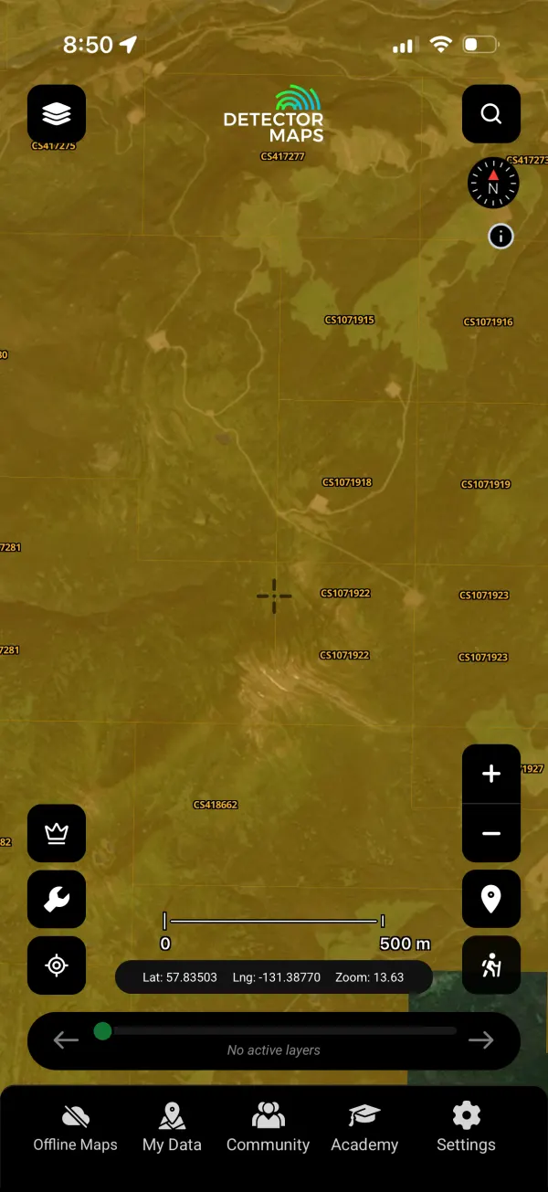
Current Mining Claims
Every live mineral and placer claim in the province, straight from the titles register. Tap any cell for the holder and status — know in seconds whether ground is open, held or worth watching.
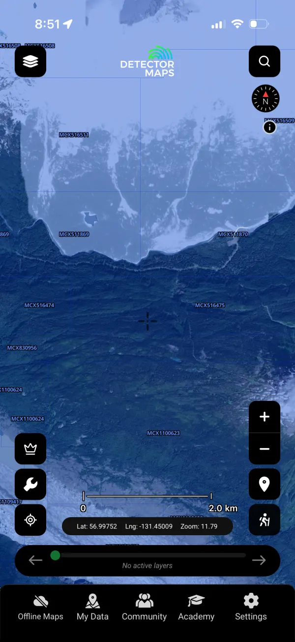
Title Submissions
Fresh staking activity as it happens — watch where claims are being picked up and where ground is quietly consolidating.
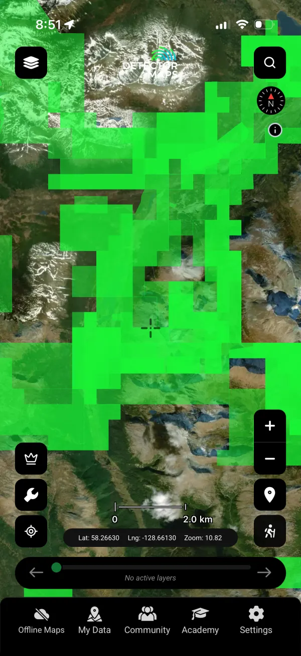
Notice of Works
Permit applications for mechanised work — the paper trail that says somebody believes in a patch enough to dig it.
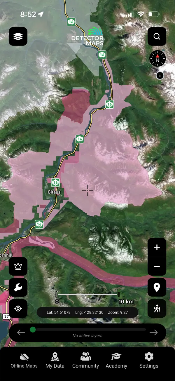
Mineral Reserve Sites
Areas closed or restricted to staking. Save yourself the heartbreak before you plan around ground you can’t have.
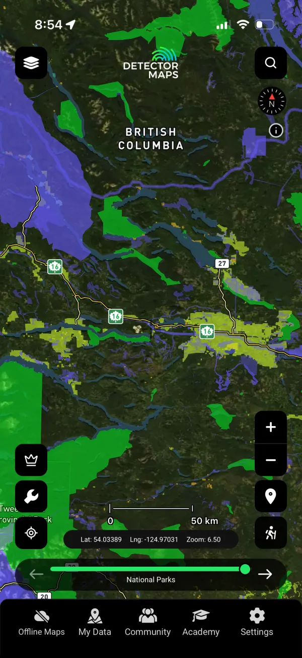
Parks & Reserves
Provincial parks and protected areas — beautiful country, no prospecting. Clearly drawn so there’s no grey.
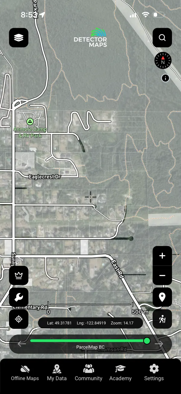
Property Boundaries
Private parcel boundaries — permission first on private land. This layer keeps you on the right side of the fence.
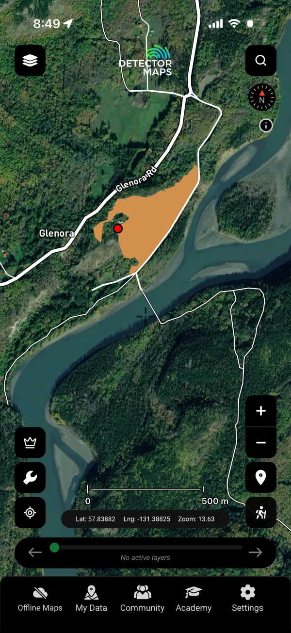
Fire Areas
Active and historic wildfire areas — closures, hazards and burnt-off ground that suddenly reads differently on LiDAR.
Then, Read 50,000+ Reports Nobody Else Bothers To.
A century of exploration paperwork, georeferenced. The gold in BC’s archives is the cheapest gold you’ll ever find.
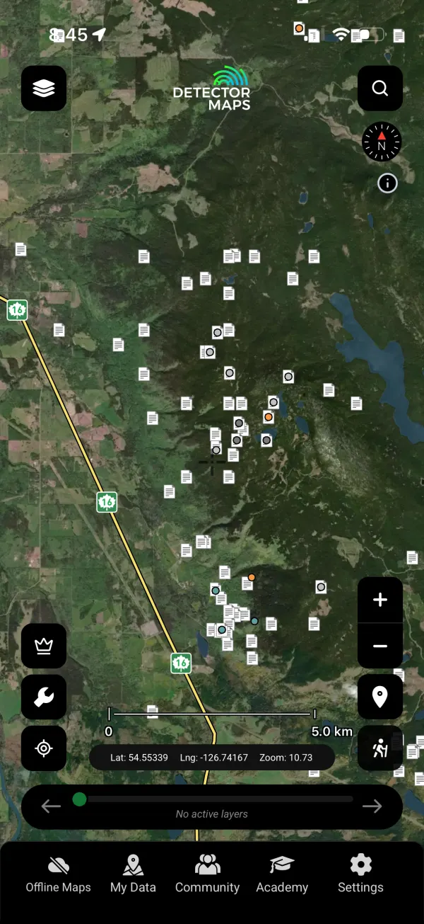
ARIS Assessment Reports
Every assessment report filed with the province — soil grids, trenching, drilling, placer tests — mapped where the work happened. Explorers spent millions generating this paper; Pro reads it for you with AI summaries.

All Mineral Occurrences
The province’s MINFILE occurrence database — every documented showing, prospect and past producer, gold and beyond.
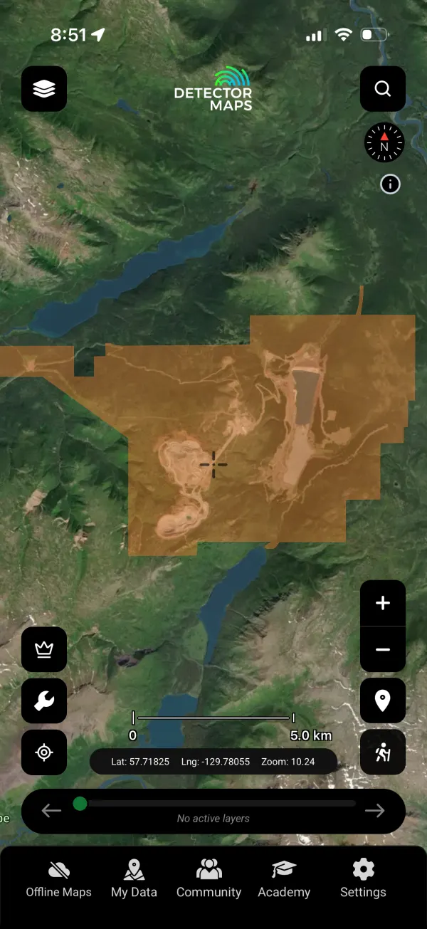
Major Mines
The big operations, past and present — the district-scale proof of where BC’s gold systems run.
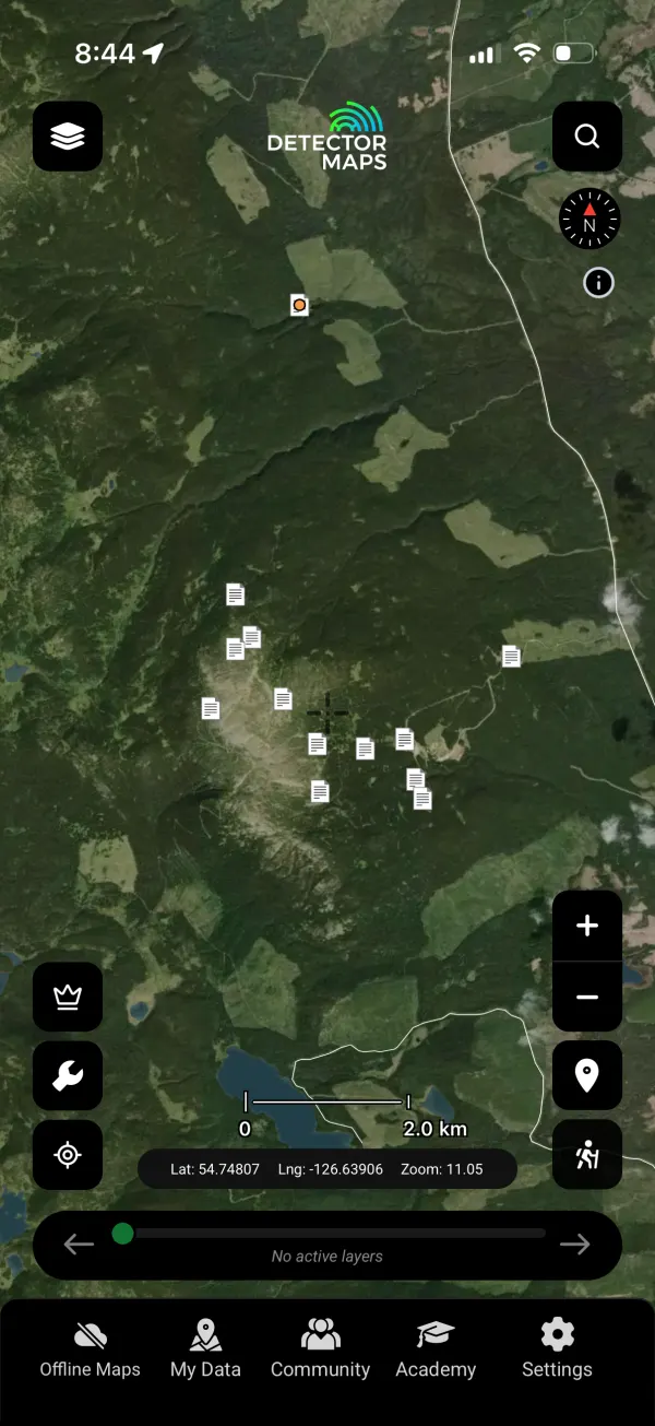
Prospector Reports
Reports filed by working prospectors — boots-on-ground accounts of creeks, benches and showings.

Property File Reports
The historical property files — old correspondence, maps and reports that never made the digital era until now.
Then Get The Edge Nobody Else Has.
Bare-earth LiDAR plus seven flavours of provincial geochemistry. When everyone fishes the same creeks, the edge is in the data.
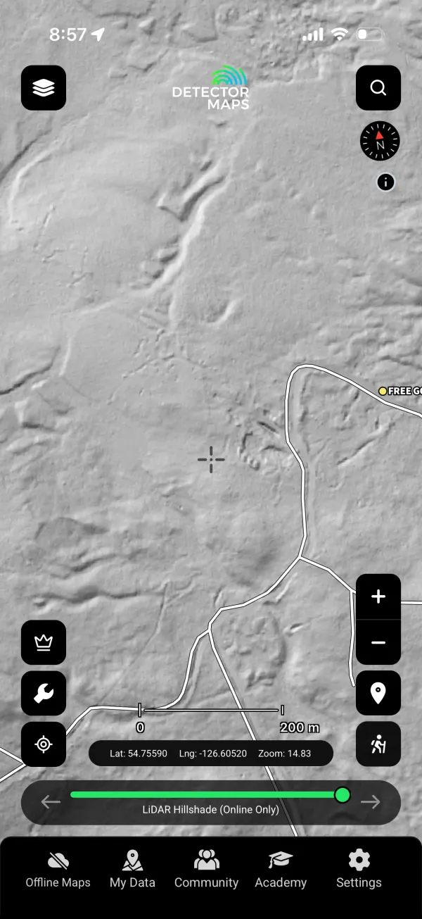
LiDAR Hillshade 1 m
1-metre bare-earth hillshade that strips the forest off the province — old hydraulic pits, ditches, trails and workings jump out of country you’ve driven past a hundred times. It's free across BC.
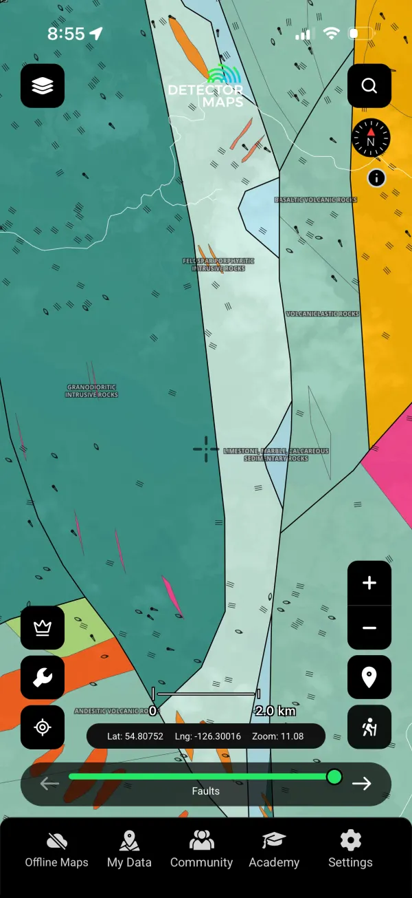
Bedrock Geology
The province’s bedrock mapping — rock units, faults and contacts that control where lode gold lives.
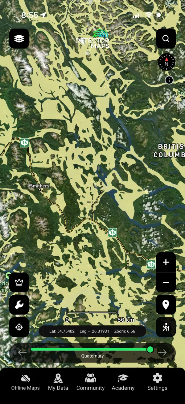
Quaternary Geology
Glacial and surficial geology — for placer miners this is the layer: tills, outwash and buried channels that moved and hid the gold.
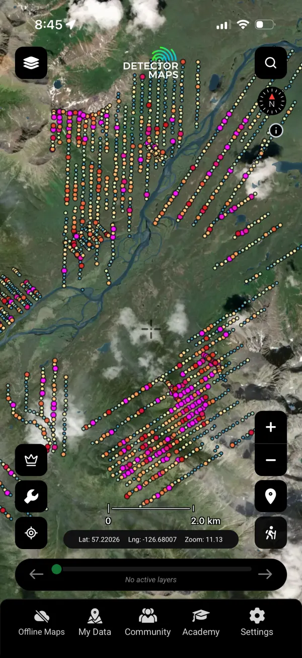
Soil Geochemistry
Soil grid assays from decades of programmes — anomalies mapped exactly where the samples came out of the ground.
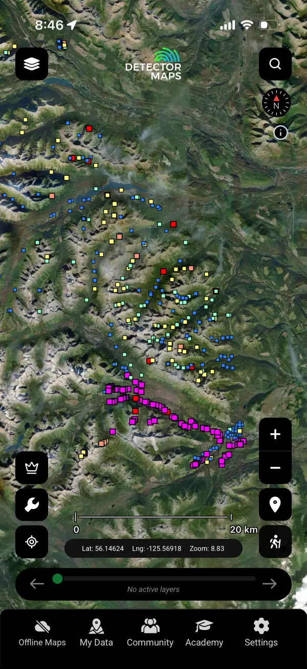
Stream Geochemistry
Stream-sediment assays creek by creek — the classic placer pathfinder.
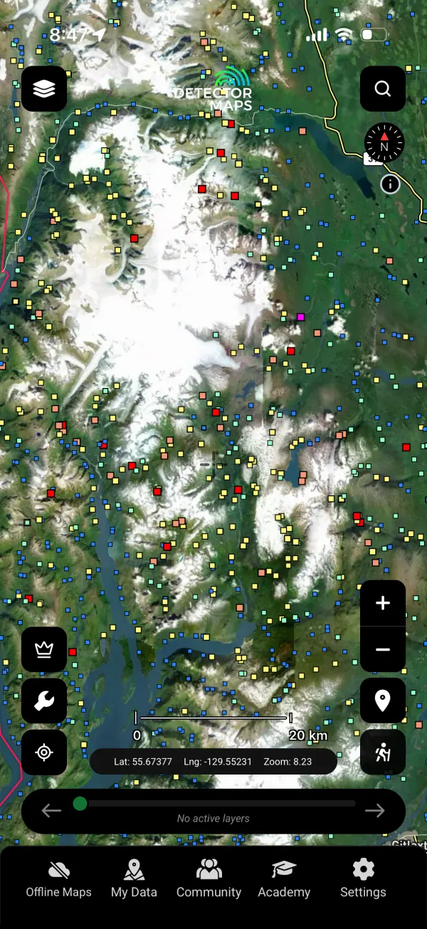
Regional Stream Geochemistry
The province-wide regional survey — consistent coverage even where no explorer ever walked.

Till Geochemistry
Till sampling that looks through the glacial cover — follow the dispersal train back to the source.

Till Geochemistry (ARSSG)
The augmented till survey set — extra coverage and elements for the glaciated belts.
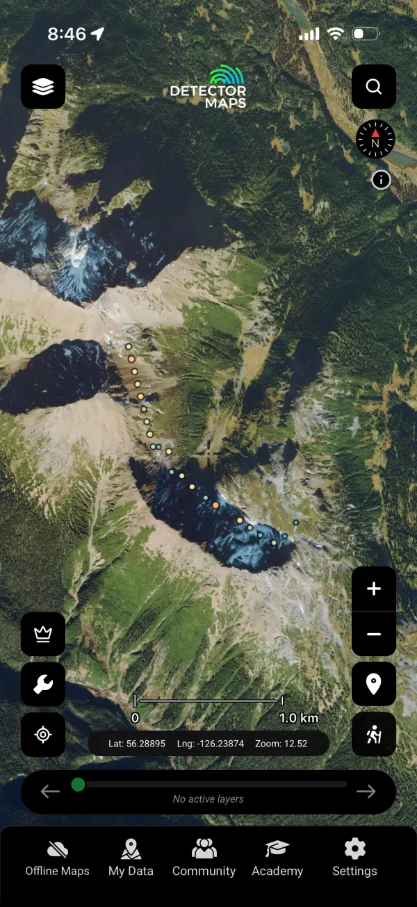
Talus Geochemistry
Talus fines sampling in steep country — geochemistry where soil grids can’t go.
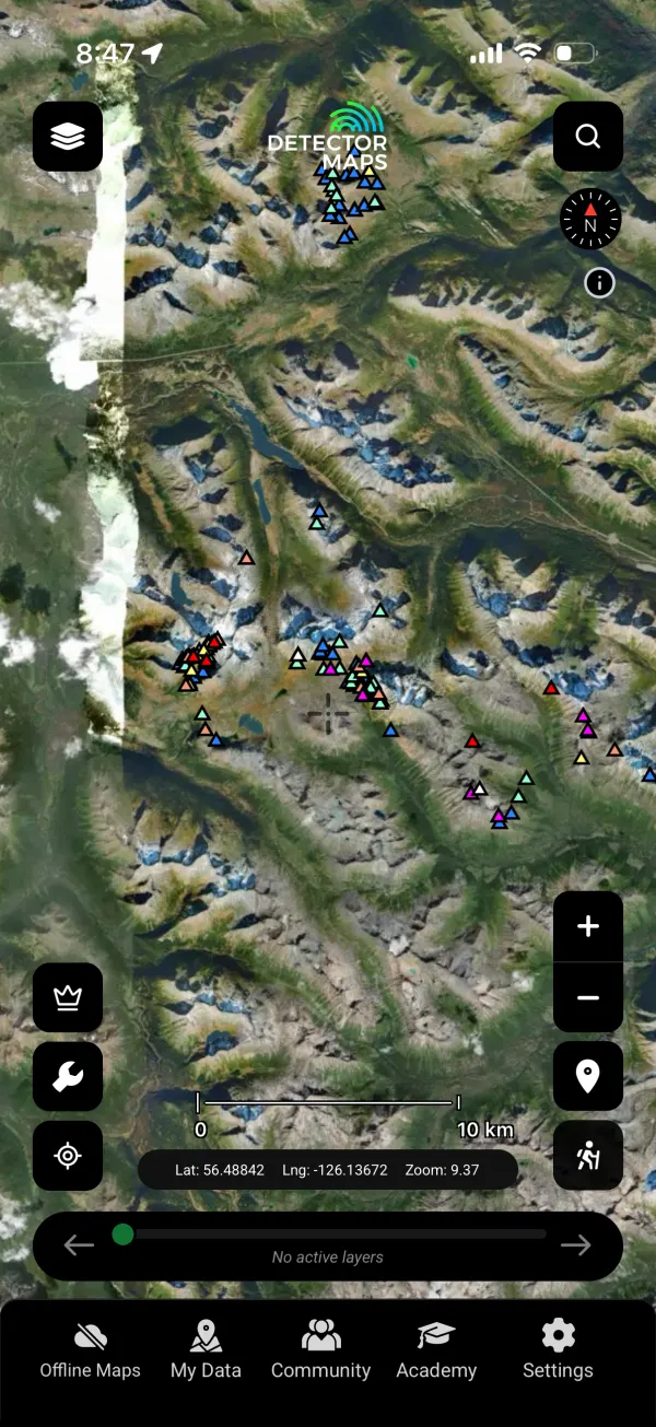
Rock Geochemistry
Rock-chip assays from outcrop — what the veins actually run, in numbers.
Finally, Get There And Get Home.
BC’s gold hides behind gates, washouts and a million kilometres of logging road. Navigation layers built for the bush, not the highway.
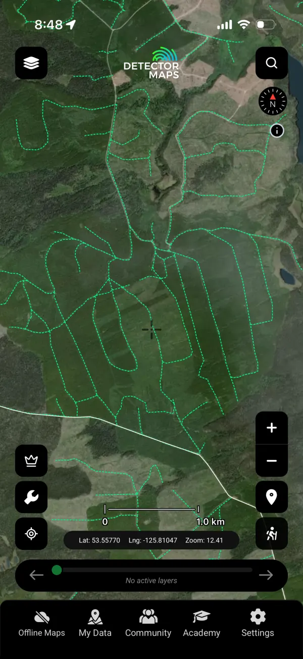
Digital Road Atlas
The province’s full road network — including the unsigned gravel that GPS apps pretend doesn’t exist.
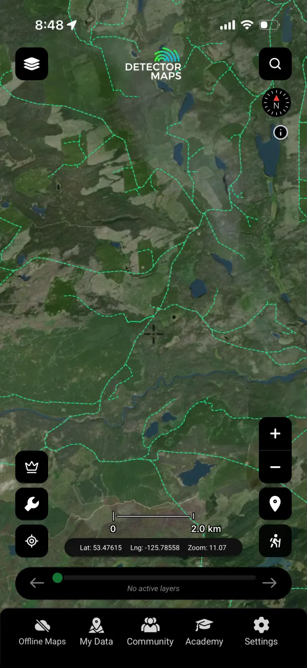
FTEN Road Sections
Forest tenure roads — who maintains them and where they actually go. The difference between a shortcut and a dead end.
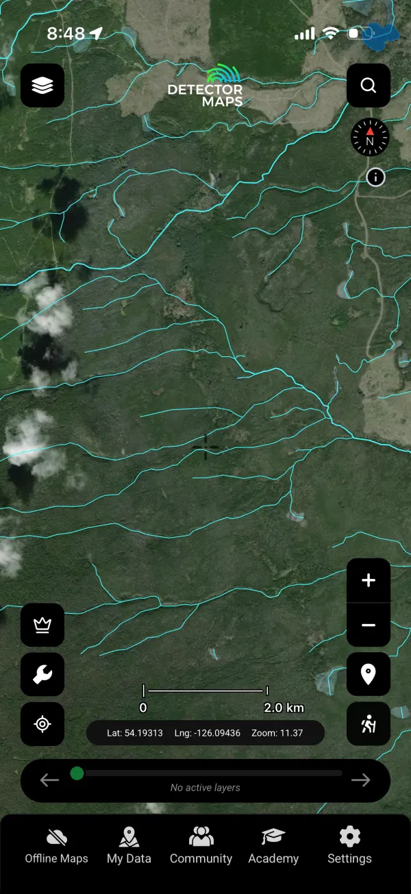
Watercourses
Every creek and river mapped — the drainage that did the placer concentrating for you.
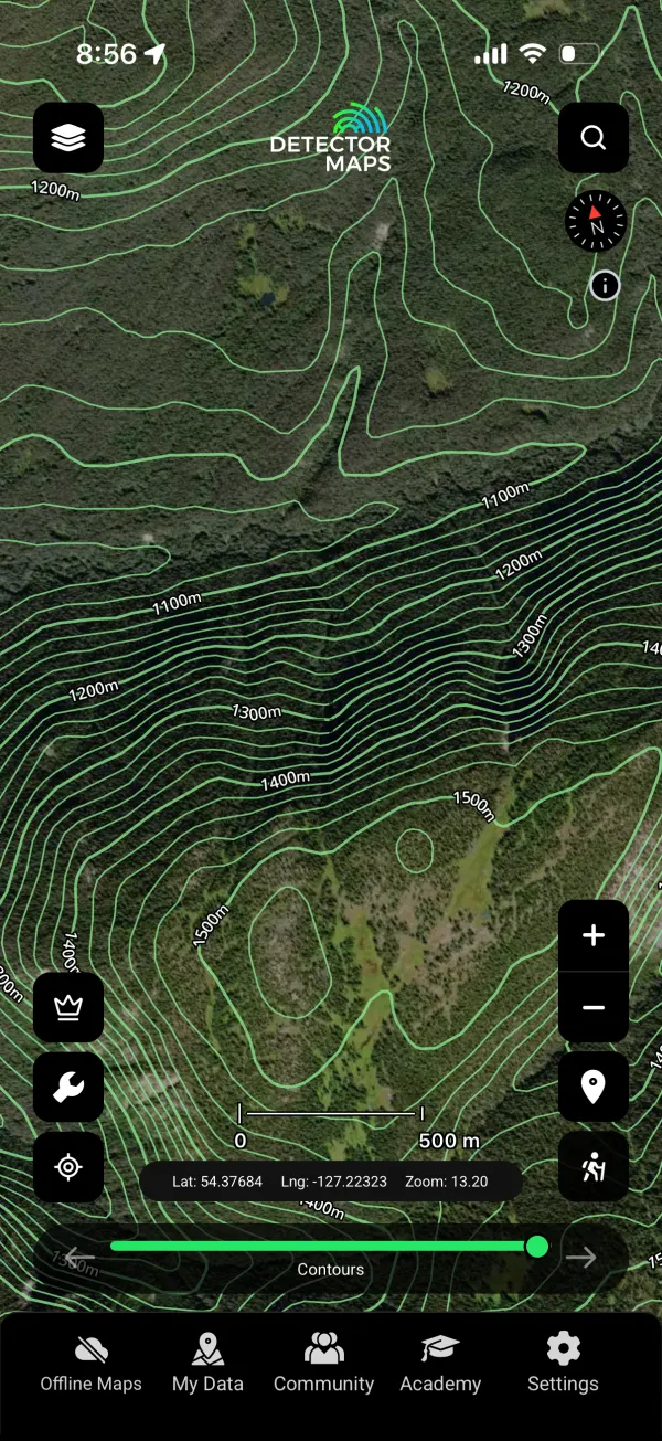
Contours
Elevation contours for benches, terraces and old channel reading at a glance.
Stay legal: staking and working claims in BC requires a Free Miner Certificate; private land needs the owner’s permission, parks are off-limits, and someone else’s claim is theirs — check the claims layer before you dig.
When the layers aren’t enough, go Pro
You’ve seen every layer above. Pro turns British Columbia’s 50,000+ ARIS assessment reports into an edge you can act on.
Keyword report search
Search every word across 50,000+ assessment reports, then pull an AI summary on demand instead of reading hundreds of pages.
Draw-an-area intelligence
Draw a polygon or radius; the AI reads every report inside and returns one intelligence report. Runs on credits bought in-app.
Claim activity alerts
Registers watched daily. A daily digest plus a push the moment ground drops, with the freed-up area mapped for you.
Pro in Australia, Canada (BC) and New Zealand. $34.99/mo or $249.99/yr, with a 3-day trial on yearly.
Join the prospectors reading the ground.



Start free for 3 days on any yearly plan — nothing charged until the trial ends.