 Detector Maps
Start free for 3 days on any yearly plan — nothing charged until the trial ends.
Open the mapMap layers · New Zealand
Gold Maps For New Zealand.
27 layers, one map — from the free 1-metre LiDAR to the schist science behind Otago’s gold. Here’s every layer and what it does for your next trip.
First, Find Ground You Can Fossick.
New Zealand is generous to recreational prospectors — if you know where you stand. These layers sort the open ground from the held ground before you leave the house.
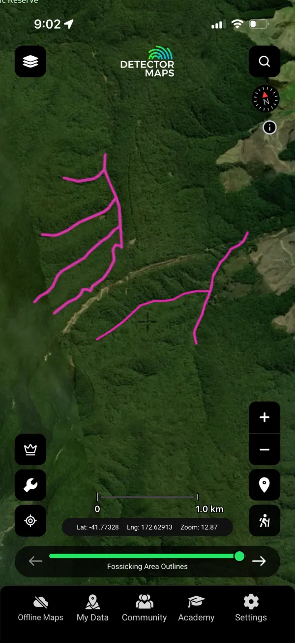
Gold Fossicking Areas
The Crown’s designated public fossicking areas in Otago and the West Coast — gold panning and sluicing allowed, no permit required. The single most valuable polygon set in the country for a weekend prospector, drawn precisely so you can stand on the right side of the boundary.

Active Gold Mining Permits
Ground already held for gold under Crown Minerals permits. Know who holds what before you plan a trip — tap any polygon for the permit details.

Active Permits — All Minerals
Every live minerals permit, not just gold. The full picture of who is working what across the country.
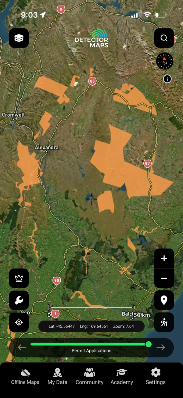
Permit Applications
Applications lodged but not yet granted — tomorrow’s held ground. Watch where the serious money is moving.
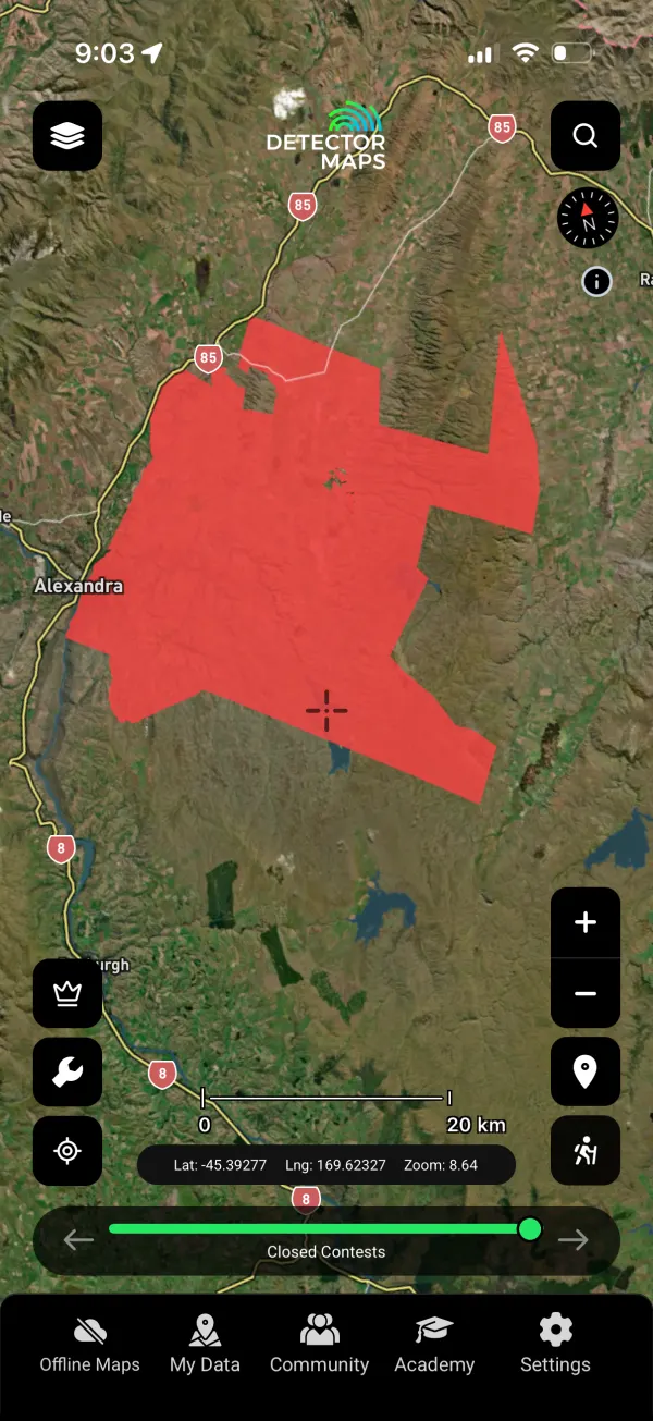
Closed Contests
Areas where permit competition has closed. Useful history for reading which ground the old-timers fought over.
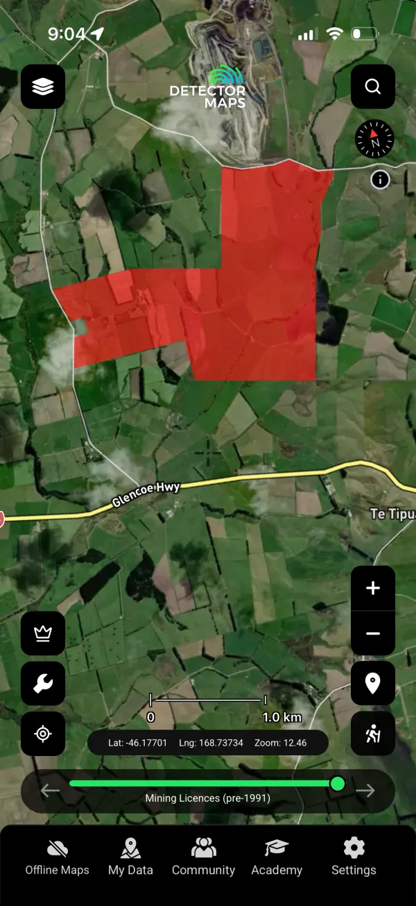
Mining Licences (pre-1991)
Licences from before the Crown Minerals Act 1991 — old rights that still shape today’s access.
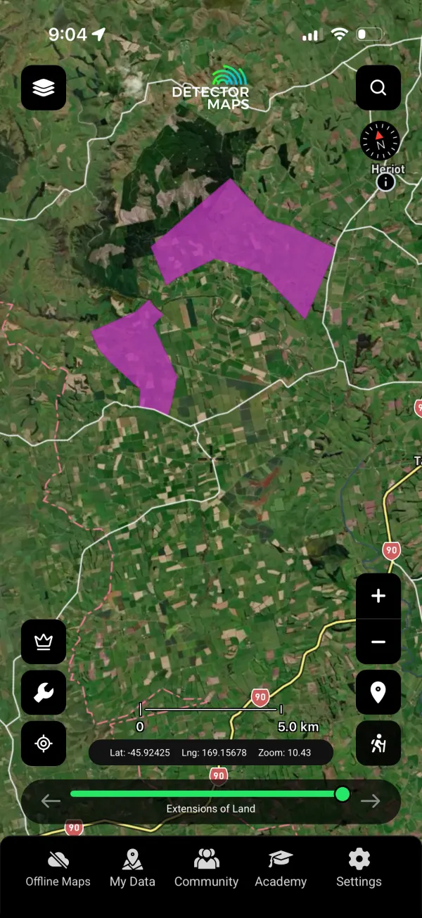
Extensions of Land
Permit extensions beyond original boundaries — the fine print of who controls the margins.
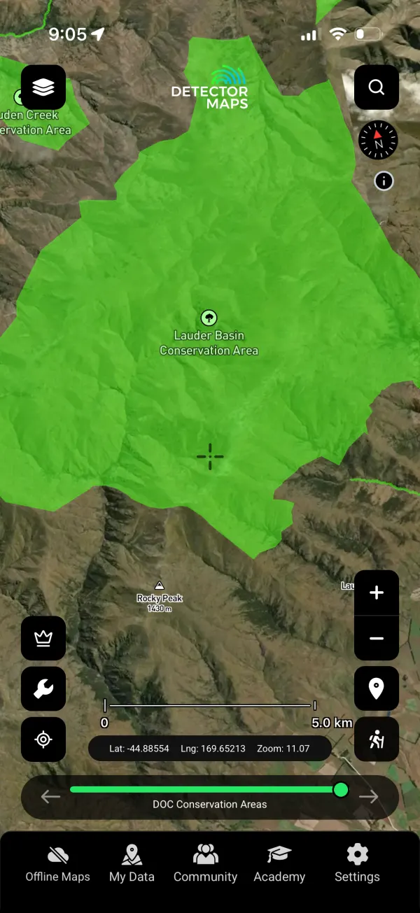
DOC Conservation Areas
Department of Conservation land, mapped. Different rules apply — know you’re on conservation estate before the ranger tells you.
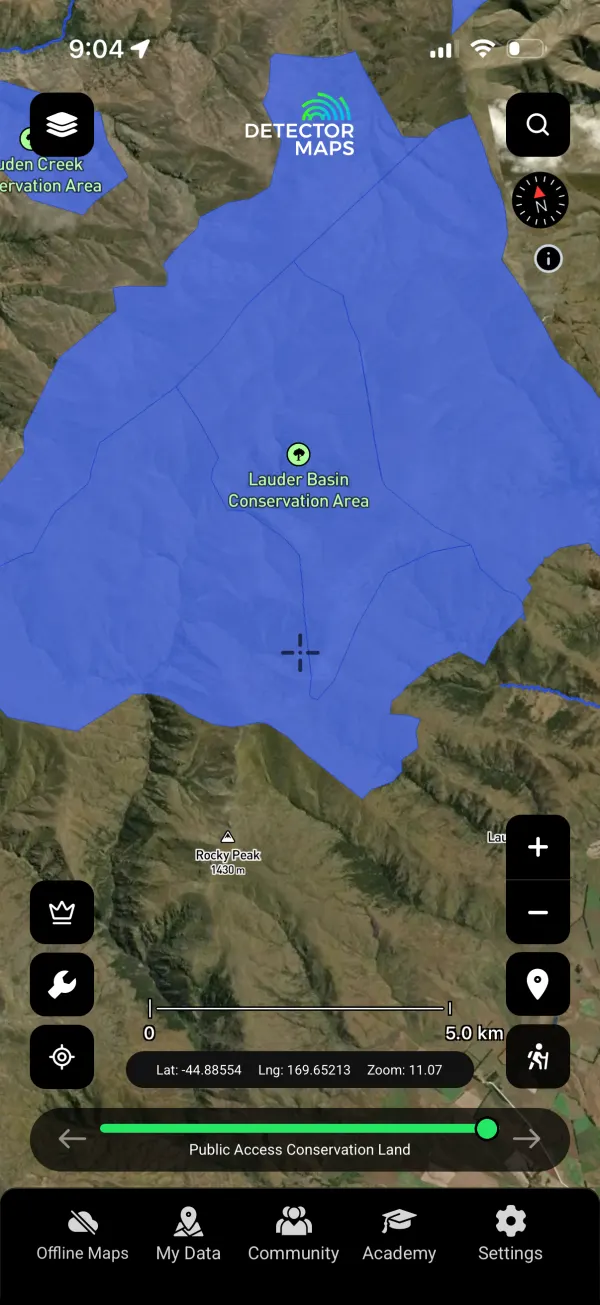
Public Access Conservation Land
Conservation land the public can walk — your legal way in to remote gold country.

Property Boundaries
Parcel boundaries nationwide. Private land means permission first — this layer keeps the conversation friendly.
Then, Find Where The Gold Was — And Is.
A century and a half of mining history, logged and mapped. Gold has an address in New Zealand; these layers are the directory.
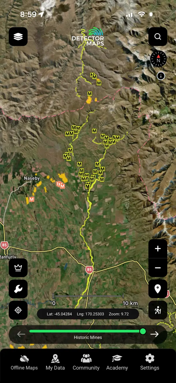
Historic Mines
Every recorded historic mine from the rushes onward — Otago, the West Coast, Coromandel. Old-timers left gold behind in the tailings, the margins and the ground they couldn’t reach. Start where they finished.
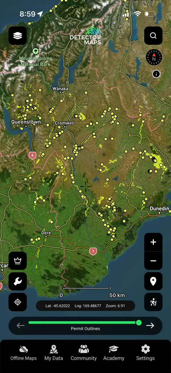
Gold Occurrences
Documented gold occurrences from the geological record — alluvial and hard-rock, each one a confirmed data point that gold was here.
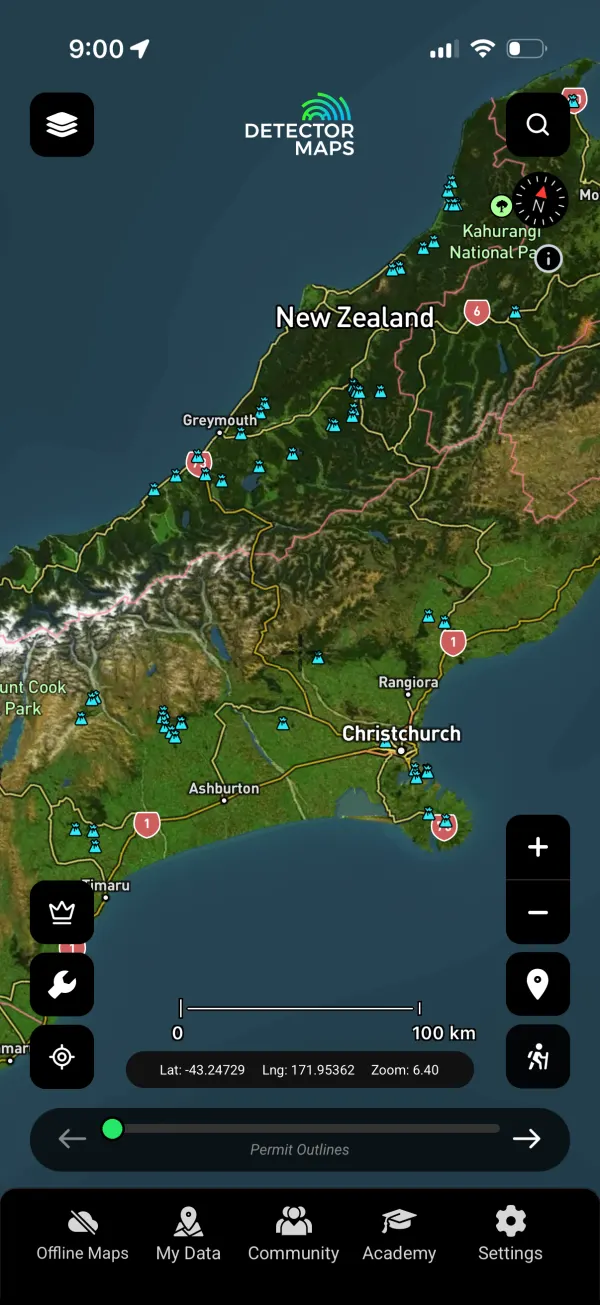
Historic Sites
Stamper batteries, water races, hut sites and workings — the infrastructure that tells you how serious a field once was.
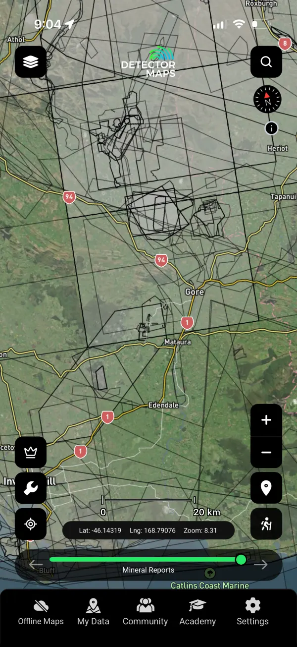
Mineral Reports
5,000+ exploration and mining reports filed with the Crown — decades of paid-for geology, searchable on the map. Pro reads them with AI.
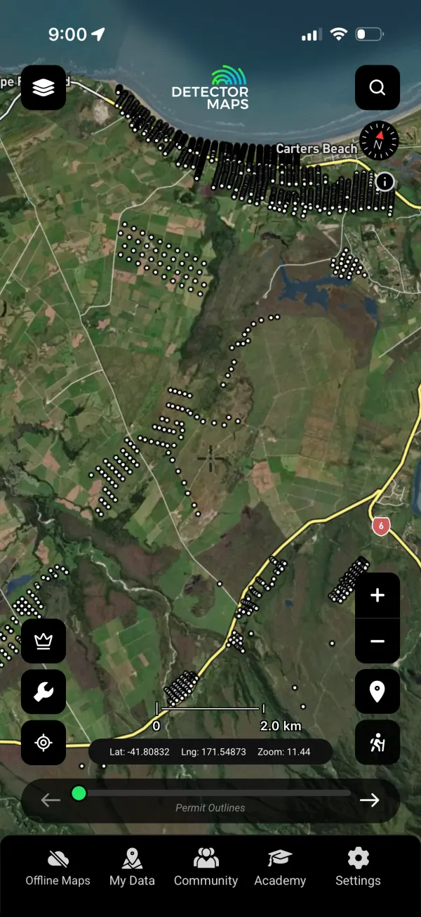
Mineral Drill Holes
Where explorers actually drilled — and what that says about the ground they believed in.
Then Get The Edge Nobody Else Has.
Free nationwide 1-metre LiDAR and the schist science that explains Otago. This is the layer stack that separates a guess from a plan.
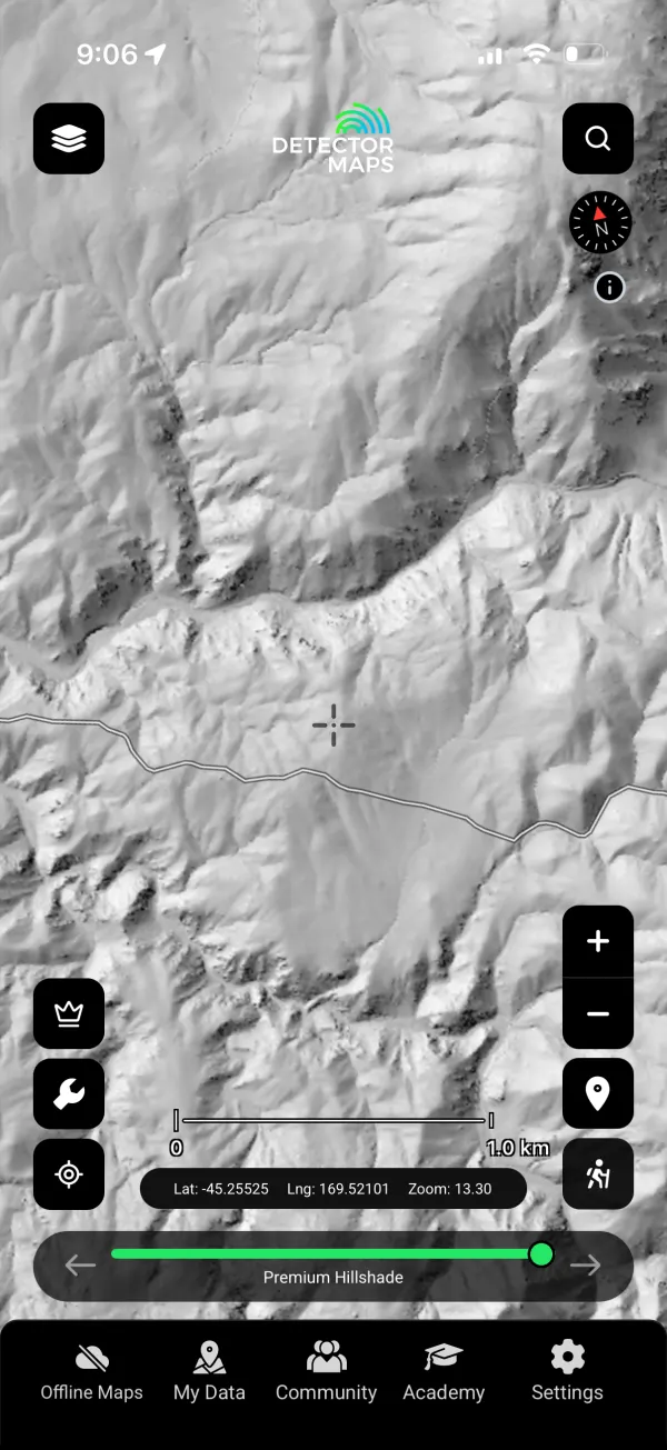
LiDAR Hillshade 1 m
LINZ’s national 1-metre LiDAR, processed into bare-earth hillshade — tailraces, water races, hand-stacked tailings and old workings standing out under the bush like they were swept clean. Included free with every New Zealand subscription.

Textural Zones
The Otago Schist textural zonation — the zones geologists use to track where gold-bearing veins formed. If you prospect Otago, this is the science under your boots.
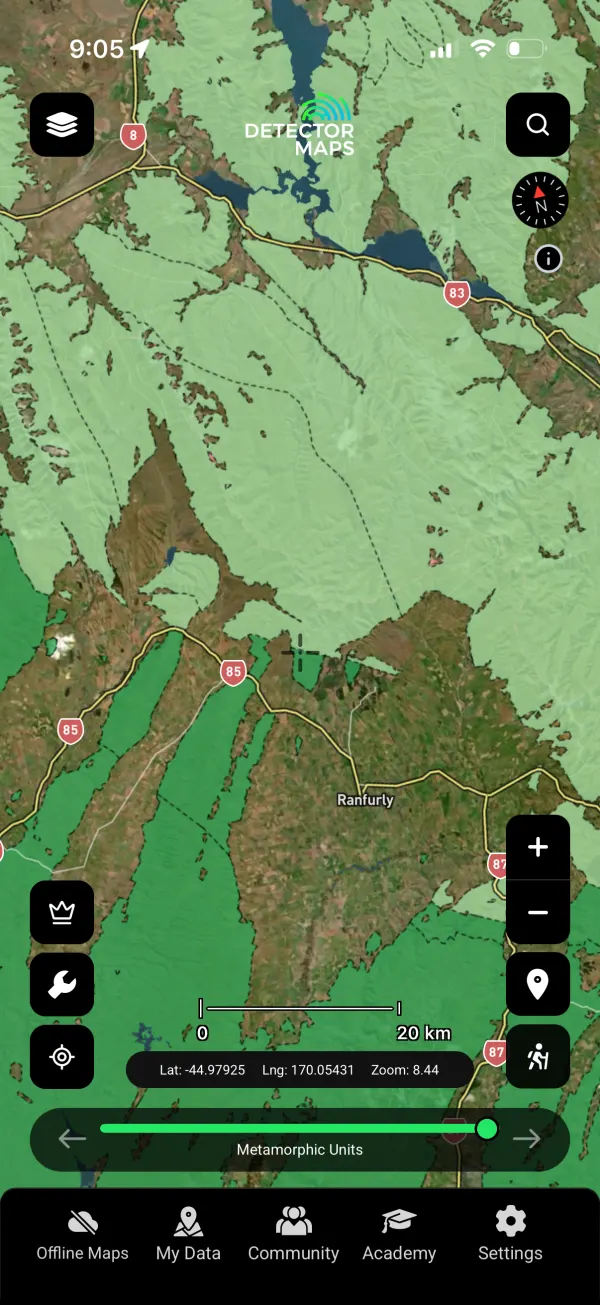
Metamorphic Units
The metamorphic architecture of the South Island — greenschist to amphibolite — that controls where the gold systems live.
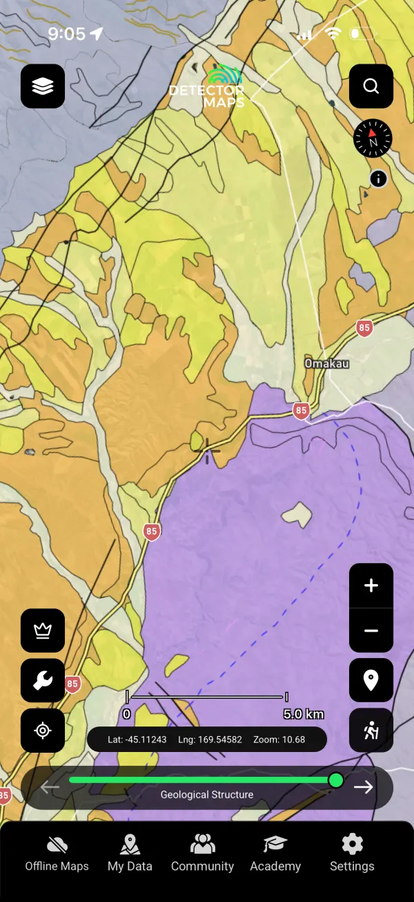
Geology 250k
GNS Science’s 1:250,000 QMAP geology for the whole country — rock units, faults and contacts under every goldfield.
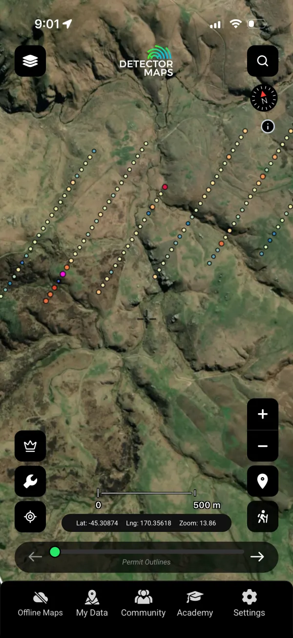
Soil Geochemistry
Soil sample assays plotted where they were taken — follow the anomalies, not the rumours.
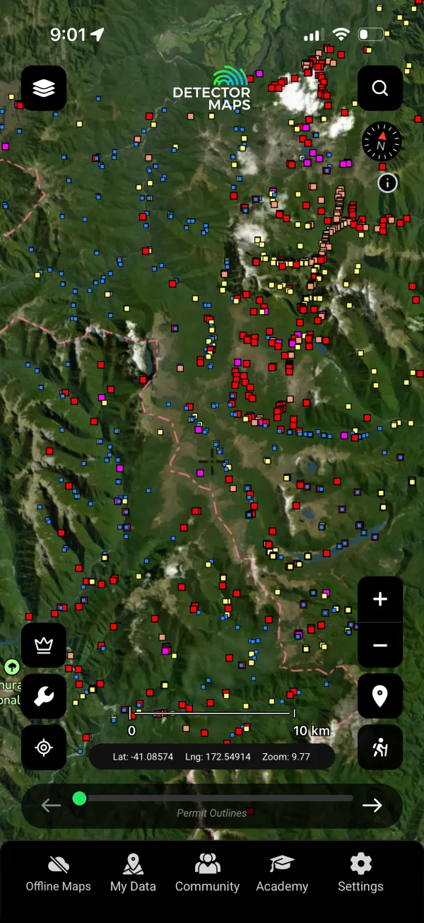
Stream Geochemistry
Stream-sediment sampling — the classic pathfinder for alluvial gold, mapped catchment by catchment.

Rock Geochemistry
Rock-chip assays from outcrop sampling — hard numbers on what the reefs actually carry.
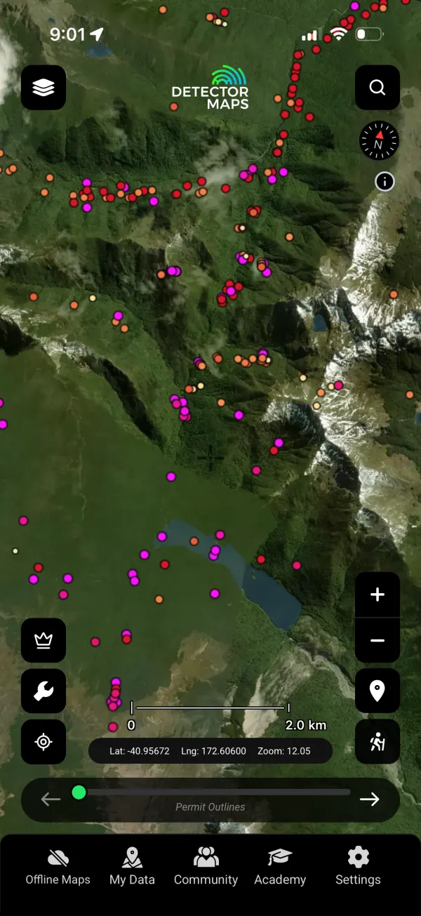
Regional Government Samples
Regional survey sampling programmes, all in one layer — coverage where private explorers never sampled.
Finally, Get There And Get Home.
Remote country, real weather. The navigation set that keeps a gold trip a good story.

Topography 50k
LINZ Topo50 — the standard back-country map series New Zealand walks on, under all your gold layers.
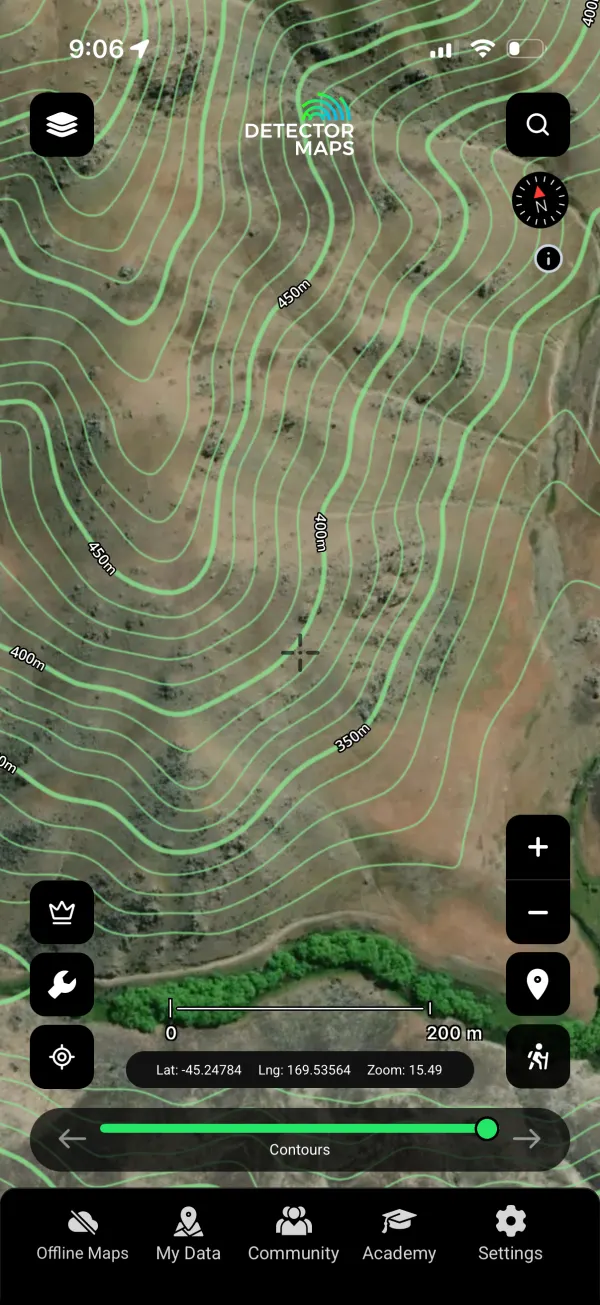
Contours
Elevation contours for reading gullies, terraces and old river benches at a glance.
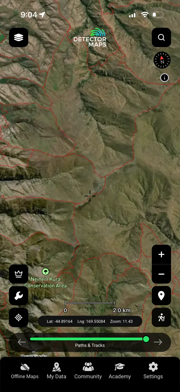
Paths & Tracks
Walking tracks and routes — the legal, fastest line in to the ground you marked.
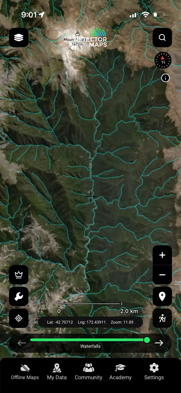
Waterfalls & Rivers
Every watercourse mapped — the plumbing that concentrated the gold in the first place.
Stay legal: fossick only in designated public fossicking areas, on ground you hold a permit for, or with the landholder’s and permit-holder’s permission. DOC land carries its own rules — check before you dig.
Pro: your exploration edge
The layers above show you the ground. Pro puts every report and register to work for you.
Search 5,000+ reports
Keyword-search across 5,000+ NZ exploration and mineral reports, with AI summaries on demand instead of reading hundreds of pages.
Draw an area, get intel
Outline a polygon or radius and the AI reads every report inside, returning one intelligence report. Runs on in-app credits.
Permit & claim activity alerts
Registers watched daily. A daily email digest, plus a push the moment ground drops, with the freed-up area mapped.
Australia, Canada (BC) & New Zealand. $34.99/mo or $249.99/yr, with a 3-day trial on yearly.
Join the prospectors reading the ground.



Start free for 3 days on any yearly plan — nothing charged until the trial ends.