 Detector Maps
Start free for 3 days on any yearly plan — nothing charged until the trial ends.
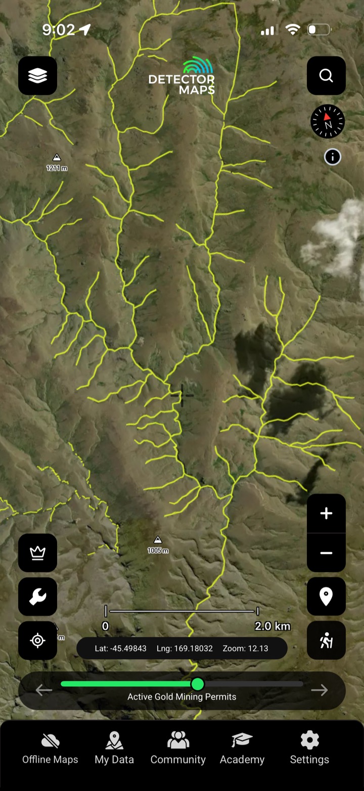
Is the ground available?
Every active mineral permit, application and pre-1991 licence — mapped, colour-coded and tied to the official NZP&M record, so you know whose ground you're on before you head out.
- Check the permit first. Tap any permit to read its holder, type and status before you commit a tank of gas.
- Spot the open ground. Available ground reads at a glance between the active permits.
- Applications & expiries. See pending applications and ground about to open up.
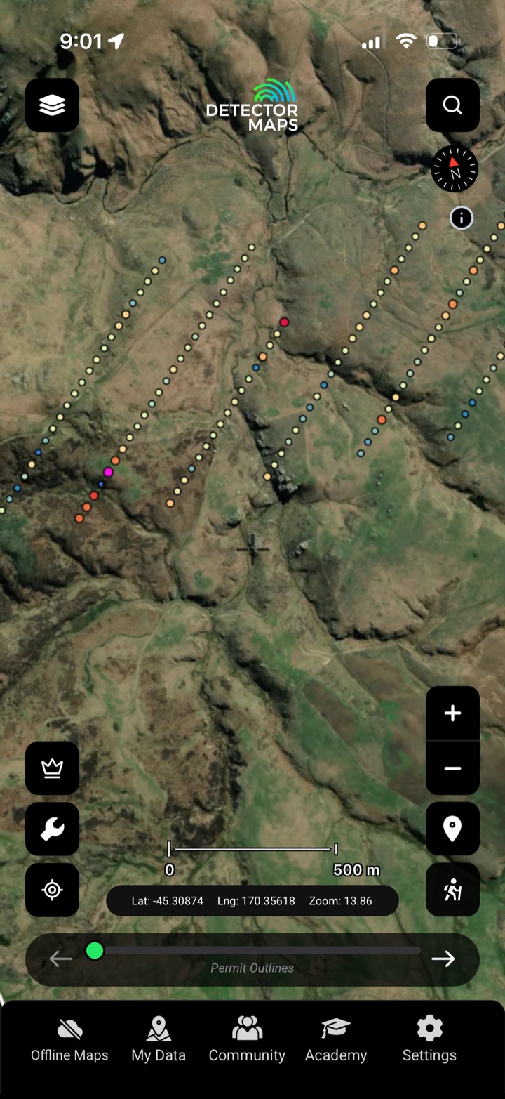
Read the ground's fingerprint
Soil, stream-sediment and rock-chip gold assays from the regional surveys, plotted where the samples were actually taken — so you can read the anomalies that point at gold.
- Soil, stream & rock. All three sample media, plotted at the collection site.
- Anomalies, not just dots. Read the clusters and highs that flag mineralised ground.
- Regional & company data. Government regional surveys plus company sampling.
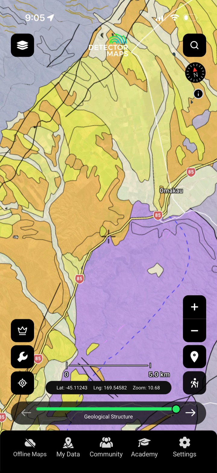
Gold follows geology
Seamless bedrock geology, metamorphic units and textural zones — the schist belts and structures that control where New Zealand's gold sits.
- Host rocks at a glance. See the schist and units that carry gold.
- Metamorphic grade. Textural zones flag the right metamorphic ground.
- Structure & contacts. Faults and contacts where gold concentrates.
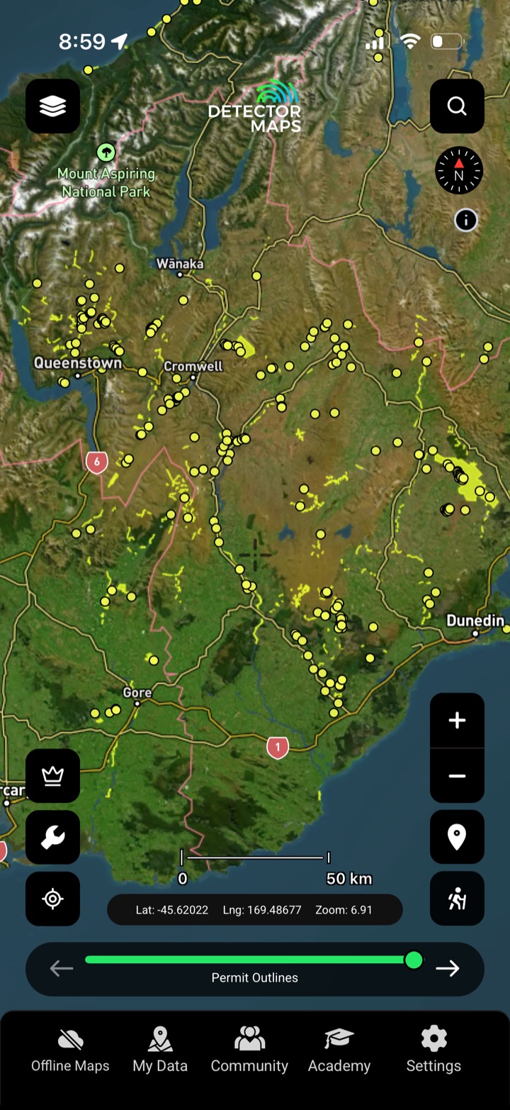
History is the best lead
Recorded gold occurrences, historic mines and sites and mineral drill holes — mapped where the ground actually is, so you can prospect near proven gold.
- Recorded occurrences. Documented gold occurrences from the record.
- Historic mines & sites. Where earlier miners pulled gold out.
- Drill holes. Where the ground's already been tested.
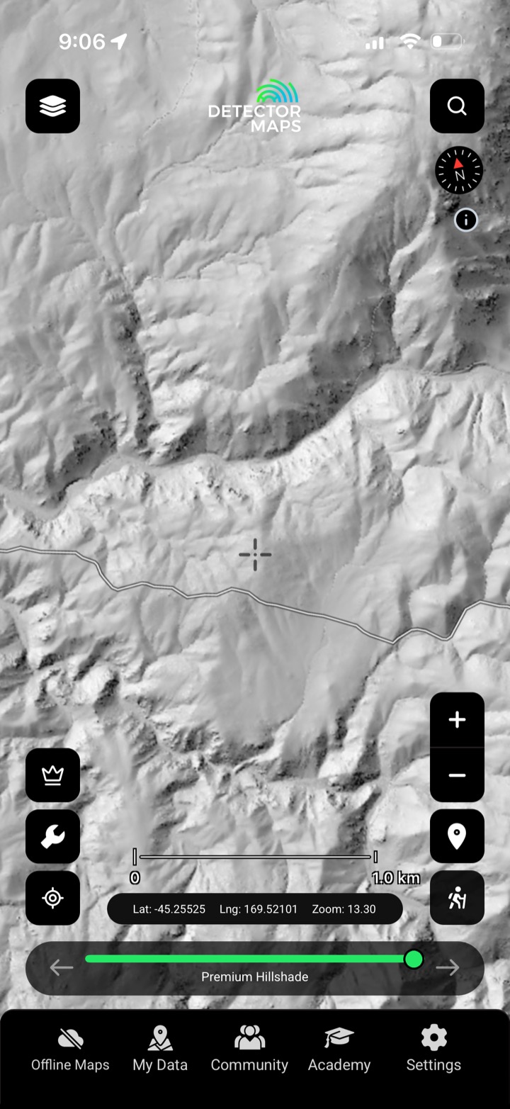
Strip away the bush
High-resolution bare-earth LiDAR hillshade strips away the bush — old workings, water-races, benches and terraces jump out, with contours and topography to read the ground.
- 1-metre bare-earth. Fine enough to read races and benches.
- Old workings pop. Costeans, tailings and terraces the bush hides.
- Contours on demand. Read gradient and old water-races.

Pan legally, no permit
Designated gold fossicking areas where anyone can pan, sluice and metal-detect for gold — mapped, so you know exactly where it's legal to get started.
- Pan without a permit. Designated public areas open to everyone.
- Exact boundaries. Know precisely where the area starts and ends.
- Great for starting out. The easiest, legal way to get your first colour.
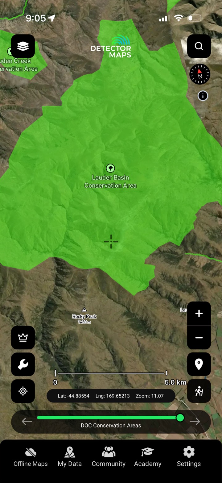
Public, private, or protected?
DOC conservation areas, public access land, property boundaries and the tracks to reach them — so you prospect legal, accessible ground.
- DOC conservation land. See managed conservation areas and rules.
- Public access. Where you're legally allowed to go.
- Property boundaries. Public vs private at a glance.


