All regions · Explorer 1/mo · Pro unlimited

Put your own maps on the ground.

Choose any JPG, PDF or GeoTIFF and georeference it on the map — move each corner, scale it, rotate it until it lines up with the features in the app.

Start free trial

3-day free trial · Nothing charged until it ends · Cancel anytime

How it works

Four steps from scan to map

01

Upload any image

JPG, PDF or GeoTIFF — an old goldfield map, a scan, your own survey.

02

Warp it into place

Move each corner, scale and rotate until it lines up with the features in the app.

03

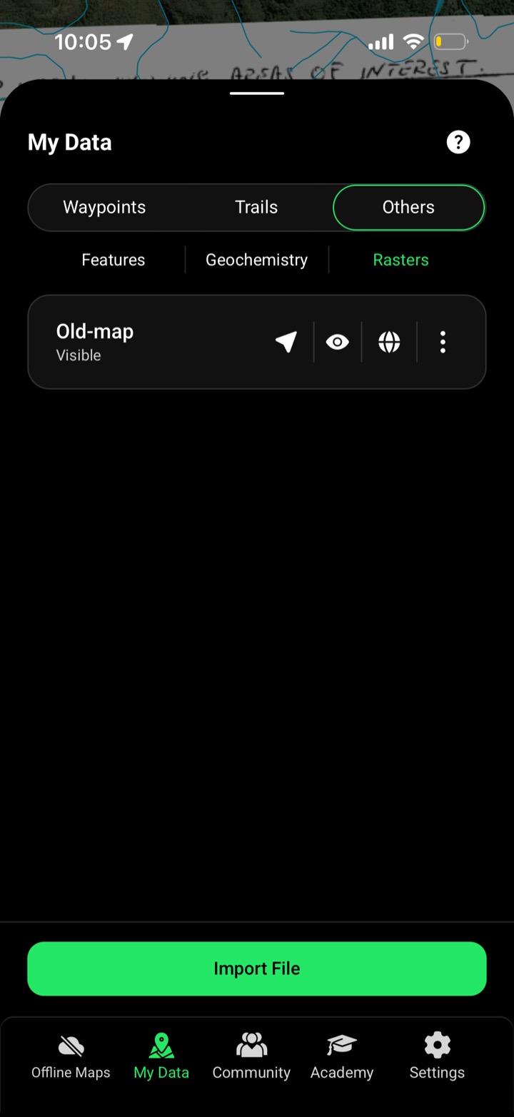
It lands in My Data

Processes straight into your rasters list, ready to switch on.

04

Publish or keep private

Share it to the community, or keep it just for you.

My Data · Rasters

Your maps, switched on over the ground

Every georeferenced image lands in your rasters list — toggle it on, off, or publish it to the community. Explorer gets one upload a month; Pro is unlimited.


FAQ

Image Georeferencer questions, straight answers.

JPG, PDF or GeoTIFF — old maps, scans, plans or your own surveys.

You move each corner, scale and rotate the image until it matches the features on the map, then it processes into your data.

Explorer gets 1 upload a month; Pro is unlimited.

All regions.

Stop guessing. Start prospecting.

Explorer gets one upload a month; Pro is unlimited — start your trial.

Start free trial

3-day free trial · Nothing charged until it ends · Cancel anytime