Premium LiDAR Hillshade
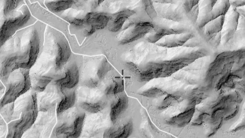
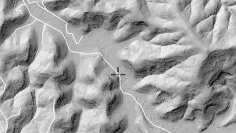
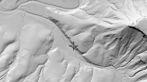
High-detail shaded relief built from LiDAR. Each variation below reads the same ground a different way, so a working that is invisible in one can be obvious in another. Hillshade: the familiar one, lit from a single direction. Best all-round read of the country, but anything running parallel to the light can disappear into its own shadow. Multi-Light PCA: eight hillshades combined into one, so nothing hides in shadow whichever way it runs. A good first pass over ground you do not know. SVF + Slope: sky view sharpened by steepness, so the rim of a working reads as hard as its floor. The one for picking edges out of scrubby ground. SVF/LRM Composite: depth and relief in one colour image, slope-tinted. The most information in a single view, for reading a whole field at a glance. RRIM: red relief image map. Ridges and hollows both read without any light direction at all, so nothing is lost to shadow whichever way a working runs.
On iPhone? Get it on the App StoreOn Android? Get it on Google Play
Free to download on iPhone and Android.
7-day free trial on yearly plans · Nothing charged until it ends · Cancel anytime.
On your phone: App Store · Google Play
7-day free trial on yearly plans · Nothing charged until it ends · Cancel anytime.
 © Mapbox, © Maxar
Satellite imagery © Mapbox, © Maxar. Layer data from the sources named on each card.
About this layer
LiDAR uses laser measurements to map the shape of the ground. Hillshade adds simulated light and shadow so banks, channels, diggings and other surface features are easier to see. It shows ground shape, not buried metal.
What it is for
Zoom in and compare shapes with the basemap. If this layer offers lighting or rendering controls, compare more than one view.
Limits
Natural features and modern disturbance can resemble old workings or archaeology. Coverage and detail vary between surveys.
Where it works in Australia.
Drawn in each state.
Satellite imagery © Mapbox, © Maxar. Layer data from the sources named on each card.
Where the data comes from.
Data provided by The State of New South Wales (Geological Survey of NSW, GSNSW, Dept of Planning and Environment, Forestry Corporation of NSW, Spatial Services NSW, Department of Regional NSW), licensed under CC BY 4.0
Data provided by The State of Qld (Department of Natural Resources and Mines, Manufacturing and Regional and Rural Development 2025, Department of Resources 2024), licensed under CC BY 4.0
Filters in the app
Draws from zoom 10.
What the pills mean.
Every layer shows the plan that opens it. The free plan never runs out. Prices are shown once, here.
Open on every plan, forever. Includes gold records.
Opens every base layer, and offline maps for the areas you choose. A$99 a year or A$9.99 a month.
Tenement alerts for a drawn area or a whole state. Report search across decades of exploration reports. A$249 a year or A$34.99 a month.
A layer sold on its own: the Victorian LiDAR add-on, A$39.99 a year.
7-day free trial on yearly plans · Nothing charged until it ends · Cancel anytime.
Satellite imagery © Mapbox, © Maxar. Layer data from the sources named on each card.
Plan the next trip tonight.
Free to download on iPhone and Android.
On iPhone? Get it on the App StoreOn Android? Get it on Google Play
Free to download on iPhone and Android.
7-day free trial on yearly plans · Nothing charged until it ends · Cancel anytime.
On your phone: App Store · Google Play
7-day free trial on yearly plans · Nothing charged until it ends · Cancel anytime.
The Detector Maps support inbox is staffed by Matt and Tom, the two brothers who built it. Contact us