USA gold map layers
Every layer for the 16 gold states, with a picture, what it is for, its limits, its source and the plan that opens it. Start with the free ones.
568 layer listings across 16 states.
Switch map
On iPhone? Get it on the App StoreOn Android? Get it on Google Play
Free to download on iPhone and Android.
7-day free trial on yearly plans · Nothing charged until it ends · Cancel anytime.
On your phone: App Store · Google Play
7-day free trial on yearly plans · Nothing charged until it ends · Cancel anytime.
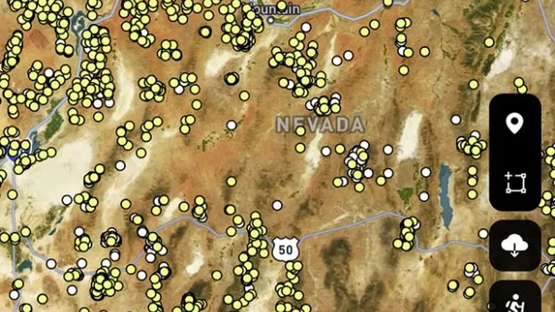 © Mapbox, © Maxar
Satellite imagery © Mapbox, © Maxar. Layer data from the sources named on each card.
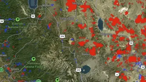
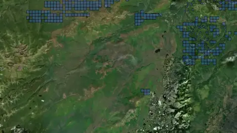
Pick where you detect.
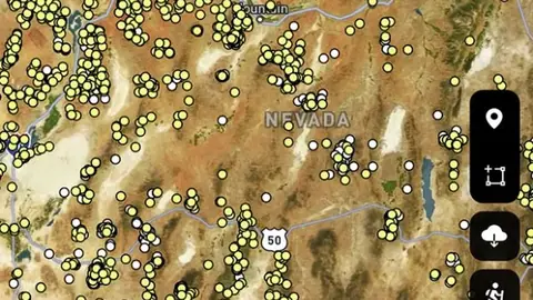 © Mapbox, © Maxar
Alabama
Free 1Explorer 20Pro 3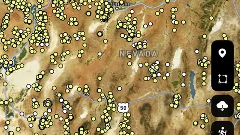 © Mapbox, © Maxar
Alaska
Free 3Explorer 31Pro 3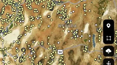 © Mapbox, © Maxar
Arizona
Free 2Explorer 36Pro 3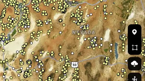 © Mapbox, © Maxar
California
Free 2Explorer 37Pro 3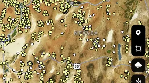 © Mapbox, © Maxar
Colorado
Free 2Explorer 36Pro 3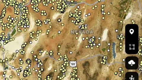 © Mapbox, © Maxar
Georgia
Free 1Explorer 20Pro 3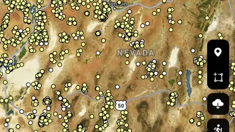 © Mapbox, © Maxar
Idaho
Free 2Explorer 36Pro 3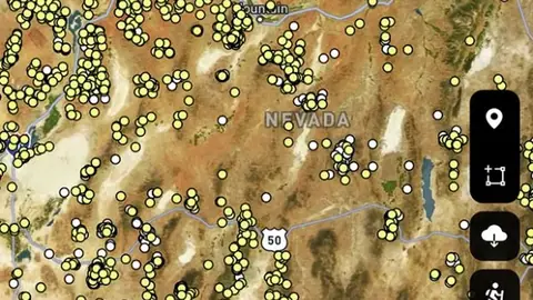 © Mapbox, © Maxar
Montana
Free 2Explorer 36Pro 3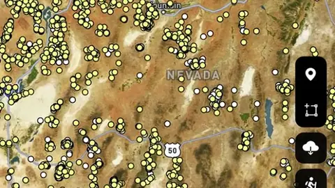 © Mapbox, © Maxar
Nevada
Free 2Explorer 36Pro 3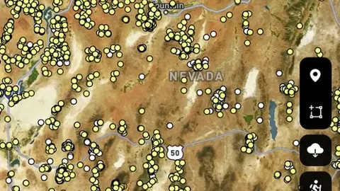 © Mapbox, © Maxar
New Mexico
Free 2Explorer 36Pro 3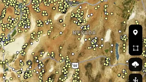 © Mapbox, © Maxar
North Carolina
Free 1Explorer 20Pro 3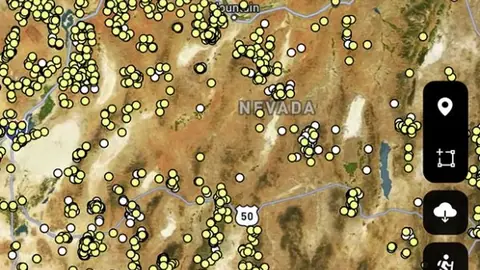 © Mapbox, © Maxar
Oregon
Free 2Explorer 36Pro 3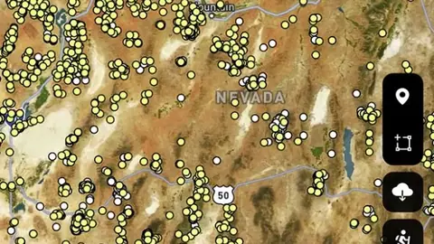 © Mapbox, © Maxar
South Carolina
Free 1Explorer 20Pro 3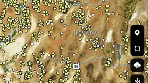 © Mapbox, © Maxar
Utah
Free 2Explorer 36Pro 3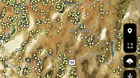 © Mapbox, © Maxar
Virginia
Free 1Explorer 20Pro 3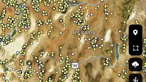 © Mapbox, © Maxar
Washington
Free 2Explorer 36Pro 3
Satellite imagery © Mapbox, © Maxar. Layer data from the sources named on each card.
Search every layer in USA gold
Type a layer, a place or a word such as geology, tenement, claim or LiDAR.
Search needs JavaScript. Browse by state above, or open the list of shared layers.
One layer, many states.
38 layers here appear in more than one state of USA gold. Each has one page with the full write-up and the plan for every state.
- ContoursIn 16 placesExplorer
- Critical Habitat AreasIn 16 placesExplorer
- Dynamic LiDAR™In 16 placesPro
- Fish & Wildlife AreasIn 16 placesExplorer
- Gold Anomaly CatchmentsIn 16 placesExplorer
- Gold Prospectivity IndexIn 16 placesExplorer
- Historic Gold OccurrencesIn 16 placesFree
- Historic Gold Other OccurrencesIn 16 placesExplorer
- Historic Topographic Mine SymbolsIn 16 placesExplorer
- Historic USGS Topo MapsIn 16 placesExplorer
- Lode Gold HeatmapIn 16 placesExplorer
- MVUM RoadsIn 16 placesExplorer
What the pills mean.
Every layer shows the plan that opens it. The free plan never runs out. Prices are shown once, here.
Open on every plan, forever. Includes gold records.
Opens every base layer, and offline maps for the areas you choose. $59.99 a year or $7.99 a month.
Dynamic LiDAR and Terrain+ 3D models. Property boundaries with landowner names. Claim alerts. $99.99 a year or $11.99 a month.
7-day free trial on yearly plans · Nothing charged until it ends · Cancel anytime.
Prices are in US dollars.
Satellite imagery © Mapbox, © Maxar. Layer data from the sources named on each card.
Plan the next trip tonight.
Free to download on iPhone and Android.
On iPhone? Get it on the App StoreOn Android? Get it on Google Play
Free to download on iPhone and Android.
7-day free trial on yearly plans · Nothing charged until it ends · Cancel anytime.
On your phone: App Store · Google Play
7-day free trial on yearly plans · Nothing charged until it ends · Cancel anytime.
The Detector Maps support inbox is staffed by Matt and Tom, the two brothers who built it. Contact us