 Detector Maps
Start free for 3 days on any yearly plan — nothing charged until the trial ends.
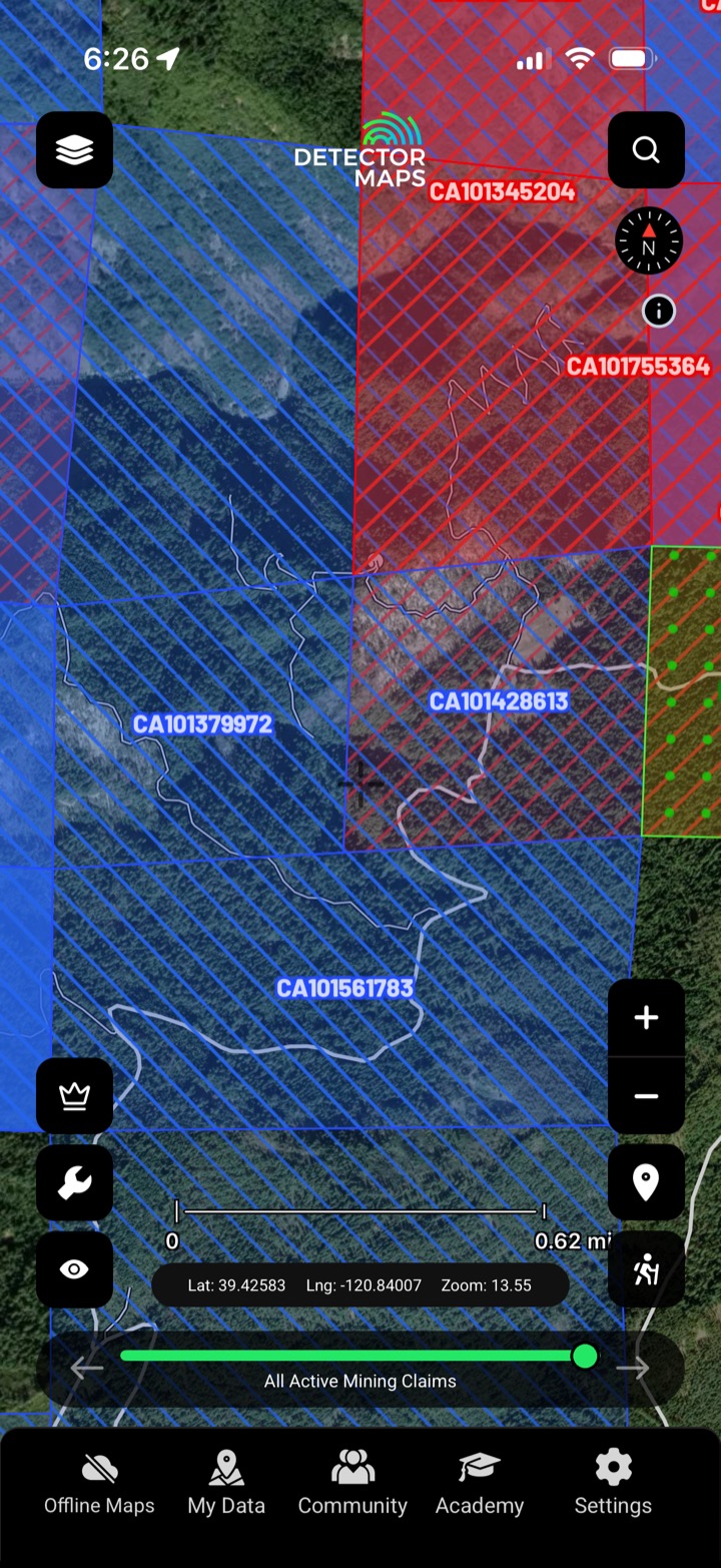
Is the ground open?
Every active placer and lode claim on federal land, colour-coded and linked to the official BLM record — so you know whose ground you're standing on before you drive.
- Check the claim before you go. Tap any claim to read its type, claimant and the official BLM record link before you commit a tank of gas.
- Spot the open ground. With active claims colour-coded, the unclaimed gaps read at a glance — focus on ground that's actually open to locate.
- Placer vs lode at a glance. Placer and lode claims are styled apart, so you read what kind of ground you're looking at before you load the truck.
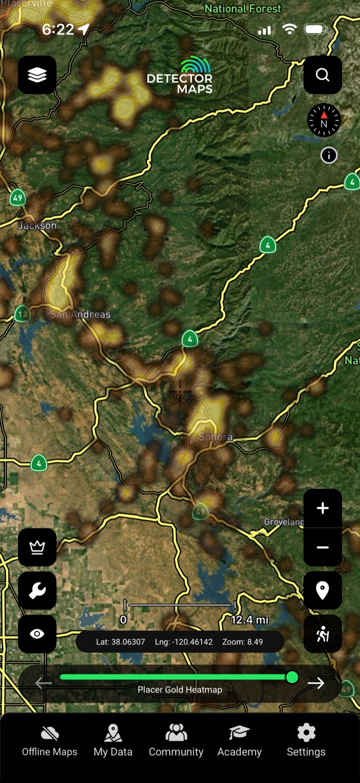
A head start, not a guarantee
Our model reads decades of occurrences, geochemistry and geology and scores the ground — so you can see where gold is most likely before you've driven an hour.
- Placer & lode, scored apart. Separate heatmaps for placer and lode so you target the right style of ground.
- Catchment-level rollup. Anomalies rolled up by catchment so you read whole gullies, not just points.
- Narrow the search fast. See the hottest ground first and spend your weekend where the odds are best.
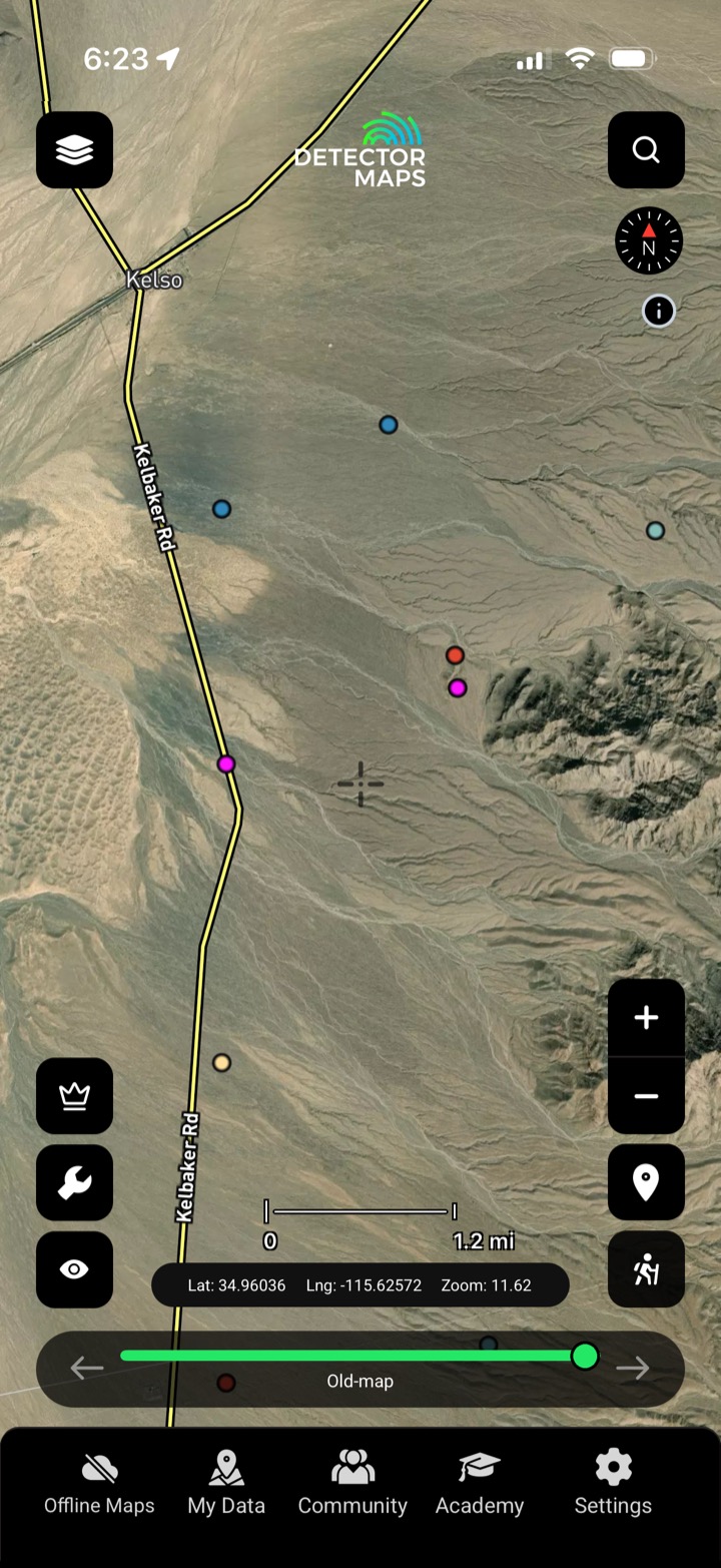
Read the ground's fingerprint
Soil, stream-sediment and stream-concentrate assays from the public record — including the pathfinder elements that ride with gold — plotted where the samples were actually taken.
- Soil & stream, mapped. Soil, stream-sediment and stream-concentrate assays plotted at the sample site.
- Pathfinders that ride with gold. Filter for arsenic, antimony and the other elements that flag gold systems.
- Anomalies, not just dots. Read clusters and highs that point at mineralised ground.
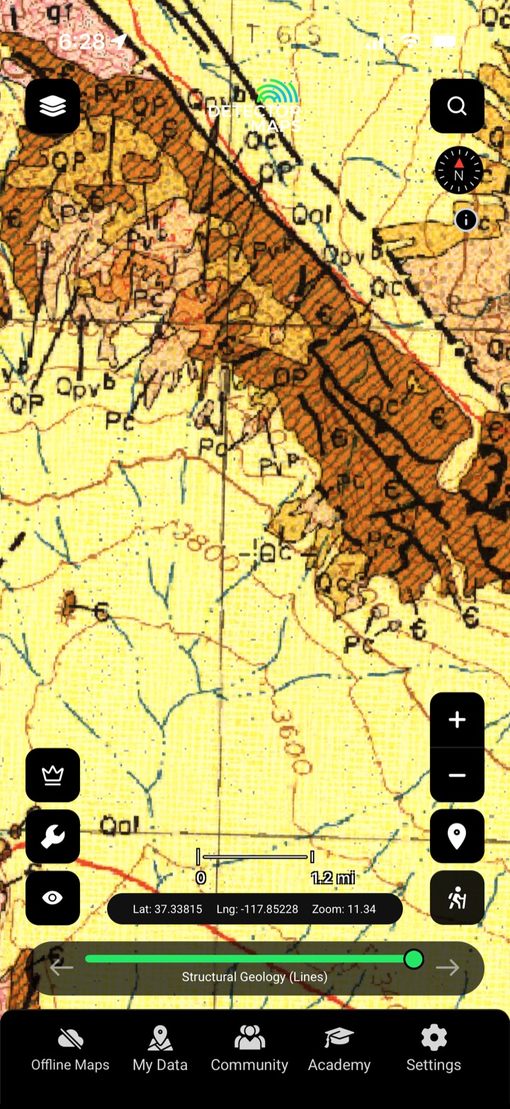
Gold follows geology
Seamless bedrock geology from the state and federal surveys — the host rocks, contacts and structures that control where gold sits.
- Host rocks at a glance. See the units that carry gold and the ones that don't.
- Contacts & structure. Faults and contacts are where fluids — and gold — move.
- Tie it to the surface. Overlay geochemistry and prospectivity to see why an anomaly sits where it does.
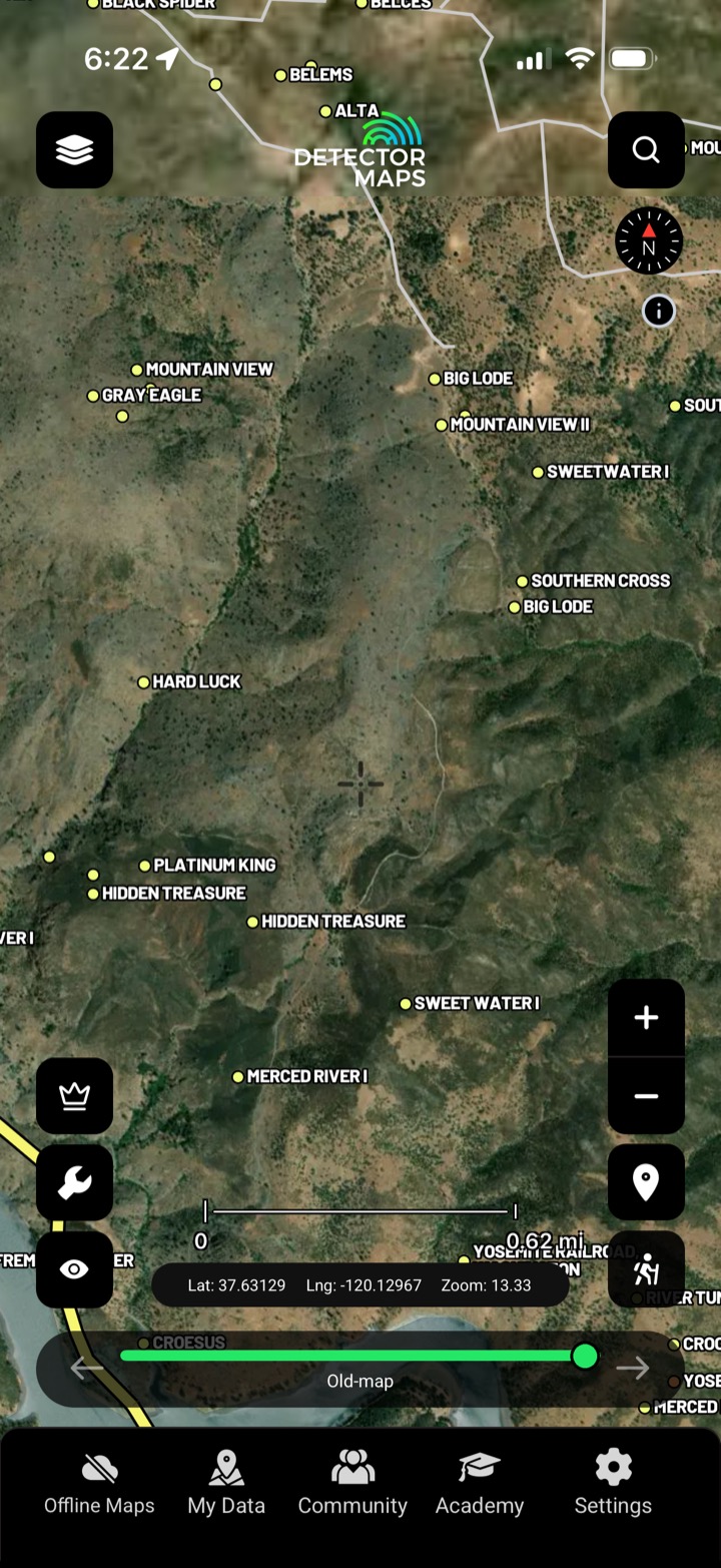
History is the best lead
Recorded gold occurrences, old workings and the mine symbols off the historic topo sheets — geo-referenced onto the map where the ground actually is.
- Recorded occurrences. Documented gold occurrences from the survey record, mapped.
- Old workings & diggings. Where earlier miners already pulled gold out.
- Topo mine symbols. Mine and prospect symbols off the historic sheets, geo-referenced.
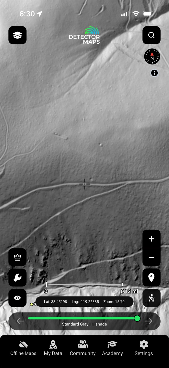
Strip away the trees
High-resolution LiDAR bare-earth, rendered eight ways — light it from any angle, tint it by elevation or slope, and read the old workings, costeans and benches the forest hides.
- Light it from any angle. Low-angle, east-, south- and custom-lit hillshades reveal features the standard render misses.
- Slope & elevation tints. Colour the terrain by slope or height to read benches, races and flats.
- Contours on demand. Fine contours for reading gradient and old water-races.
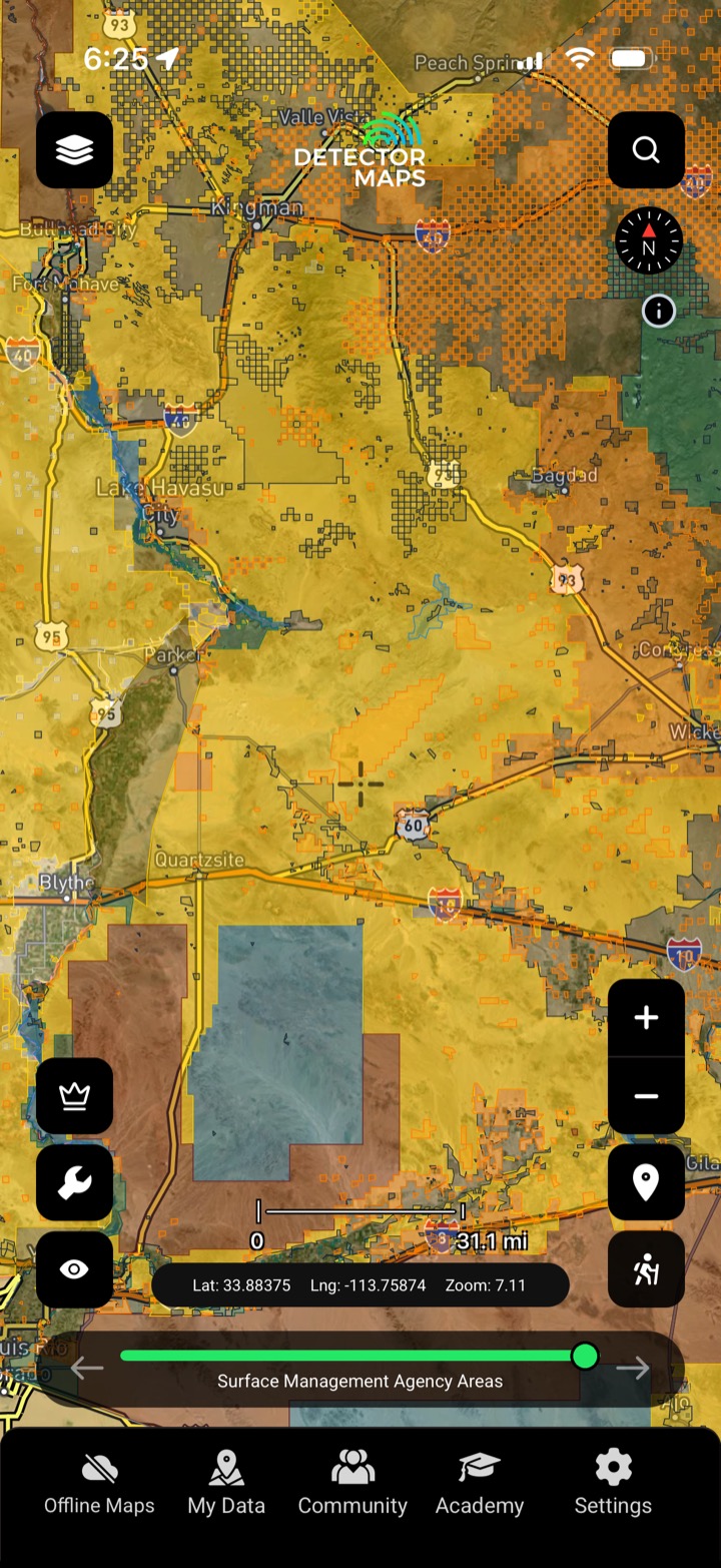
Public, private, or off-limits?
Surface-management agencies, land ownership, PLSS sections, BLM sites and the roads and tracks to reach them — so you prospect legal, accessible public ground.
- Surface management & ownership. See who manages and owns the ground — public, private or protected.
- PLSS section grid. Township, range and section so you can describe and locate ground precisely.
- Roads, tracks & MVUM. BLM tracks and MVUM forest roads — know what you can drive.


