Start free trial

Start free for 3 days on any yearly plan — nothing charged until the trial ends.

4.7/5 · 1,548 ratings10,000+ prospectors16 gold states mapped
Open the map
Public land · Ownership · Access · BLM

Know it's open before you swing.

Surface-management agencies, land ownership, PLSS sections, BLM sites and the roads and tracks to reach them — so you prospect legal, accessible public ground.

Start free trial

3-day free trial · Nothing charged until it ends · Cancel anytime

What it is

Public, private, or off-limits?

The access layers show who manages and owns the surface — BLM, Forest Service, private, protected — plus the PLSS grid and the roads, tracks and recreation sites to get there. Read it before you drive, and stay on the right side of the line.

What the layer shows you

Four ways prospectors put it to work

01

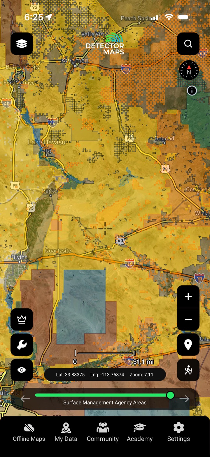
Surface management & ownership

See who manages and owns the ground — public, private or protected.

02

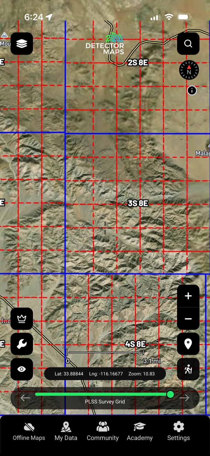
PLSS section grid

Township, range and section so you can describe and locate ground precisely.

03

Roads, tracks & MVUM

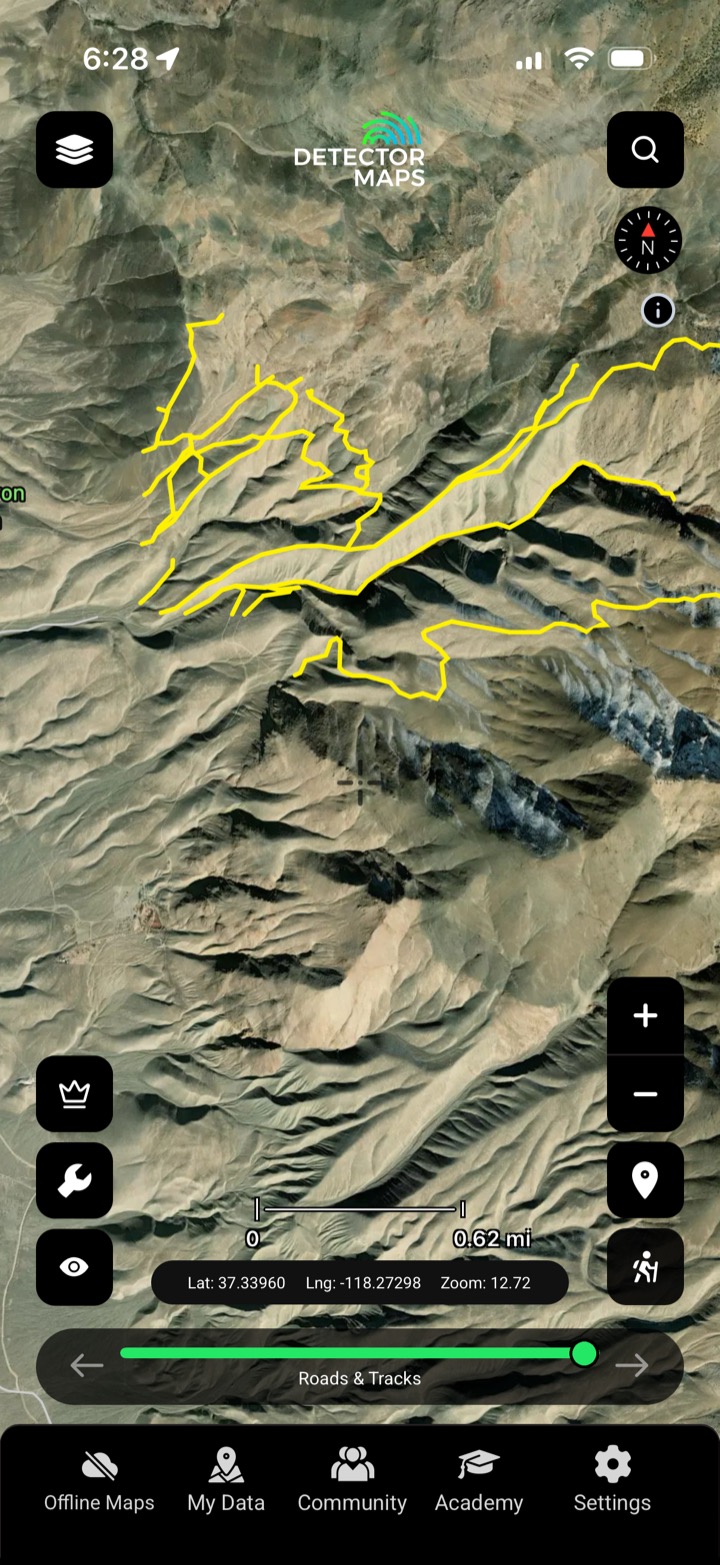
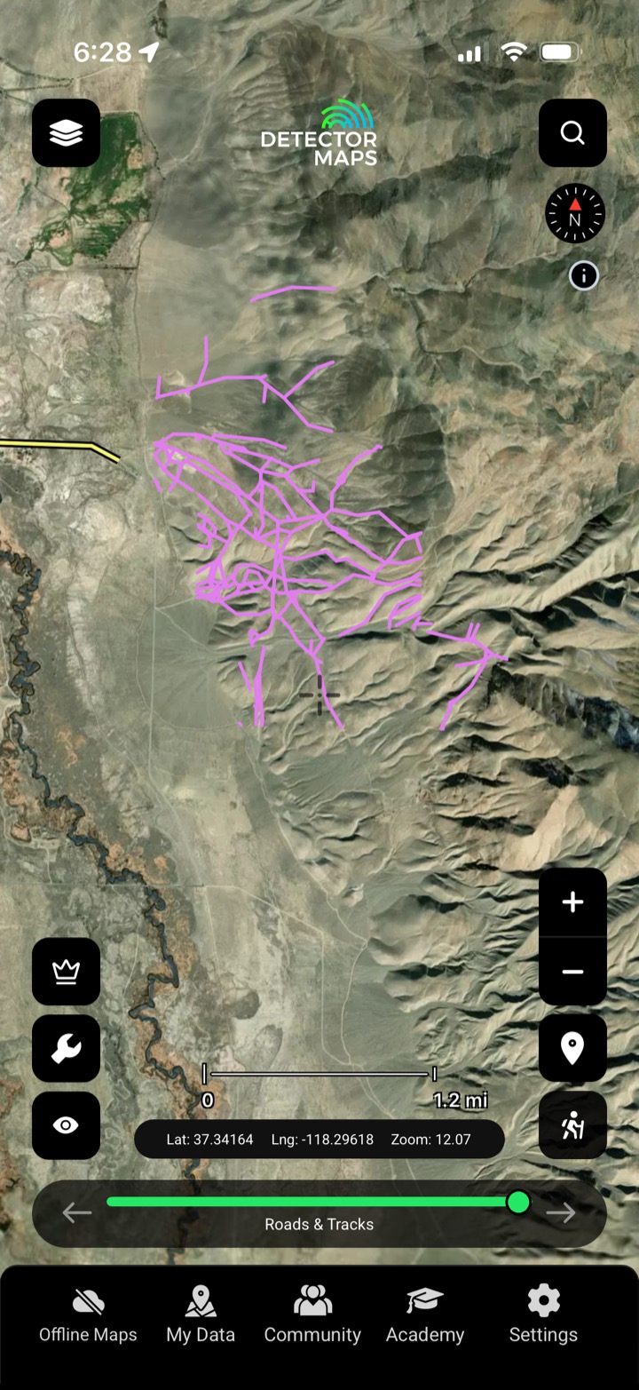
BLM tracks and MVUM forest roads — know what you can drive.

04

Sites & protected areas

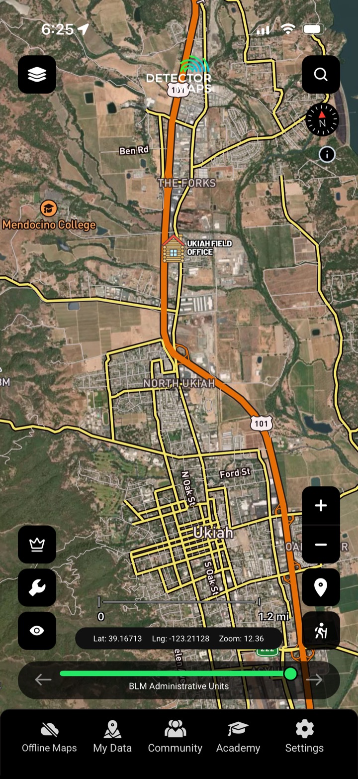
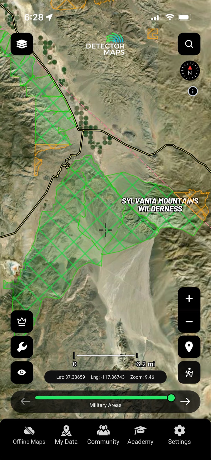
BLM offices and sites, plus protected areas to avoid.

In the app

Everything you need to access the ground

Surface management agencies

Who manages each parcel of public land.

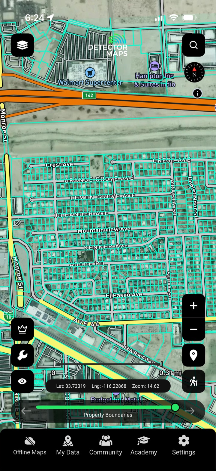
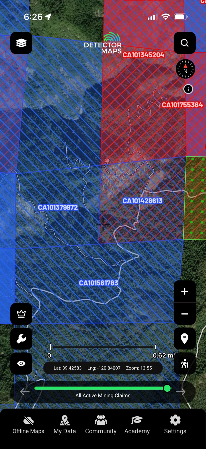
Land ownership & boundaries

Property boundaries with ownership attributes.

PLSS sections

Township / range / section grid.

BLM sites

BLM-managed recreation and access sites.

BLM offices

Where to check claims and permits.

BLM tracks

Public-land tracks and trails.

MVUM roads

Motor Vehicle Use Map forest roads.

Protected areas

Ground that's off-limits to prospecting.

Watercourses

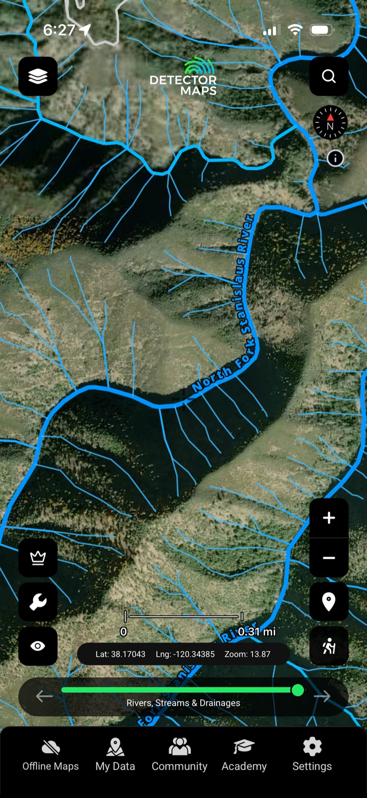
Creeks and drainages for placer work.

FAQ

Public land & access questions, straight answers.

The access layers show surface management and ownership — public BLM and Forest Service ground is generally open; private and protected ground is not. Always confirm locally.

The Public Land Survey System — the township, range and section grid used to describe federal land and locate claims.

The Forest Service Motor Vehicle Use Map — which roads and tracks you’re legally allowed to drive.

No. It’s the best available mapping to help you plan — always confirm access and claim status with the managing agency.

Stop guessing. Start finding.

Every layer, every gold-bearing state — on one map you can take off-grid.

Start free trial

3-day free trial · Nothing charged until it ends · Cancel anytime