Detector Maps
Start free for 3 days on any yearly plan — nothing charged until the trial ends.
High-resolution LiDAR bare-earth, rendered eight ways — light it from any angle, tint it by elevation or slope, and read the old workings, costeans and benches the forest hides.
Start free trial3-day free trial · Nothing charged until it ends · Cancel anytime

LiDAR measures the bare earth under the canopy. We render it as hillshade from multiple light angles, plus slope and elevation tints and contours — so subtle diggings, races and benches jump out however the ground lies.
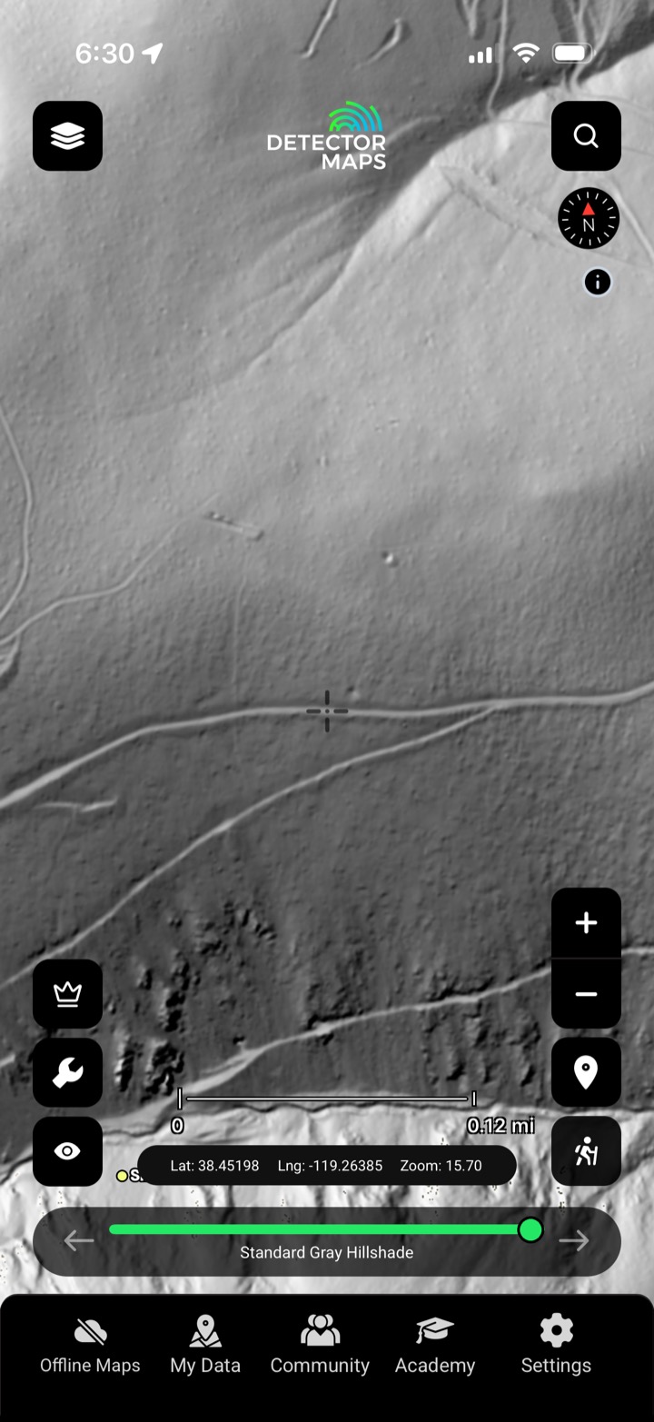
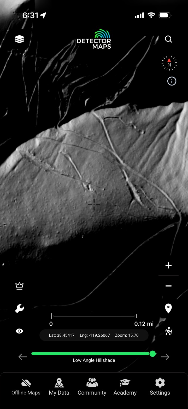
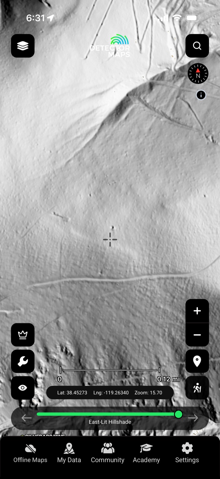
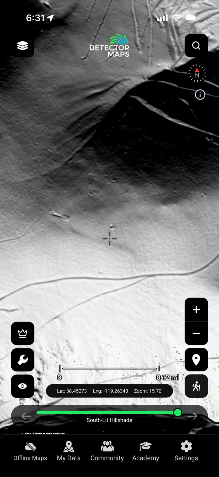
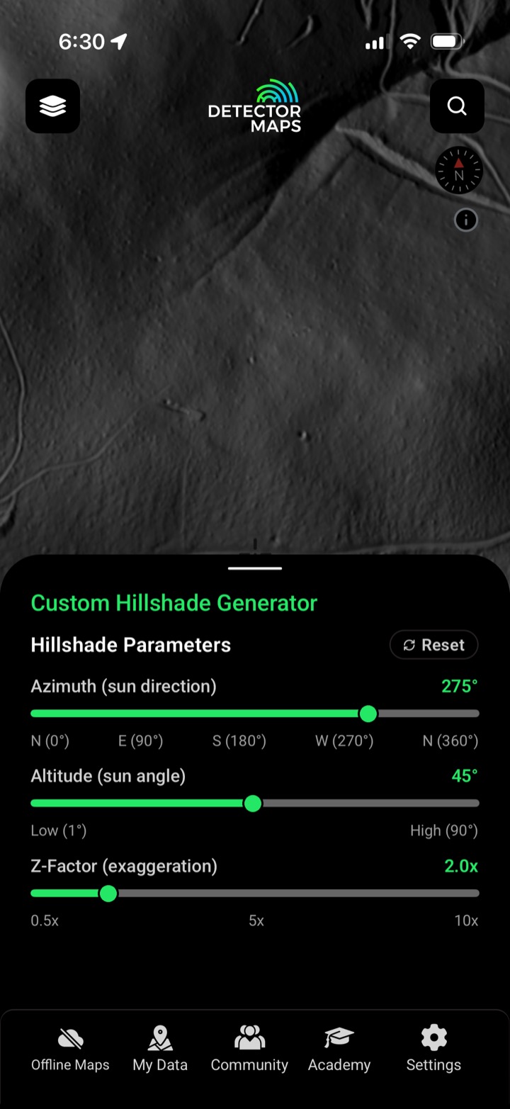
Low-angle, east-, south- and custom-lit hillshades reveal features the standard render misses.
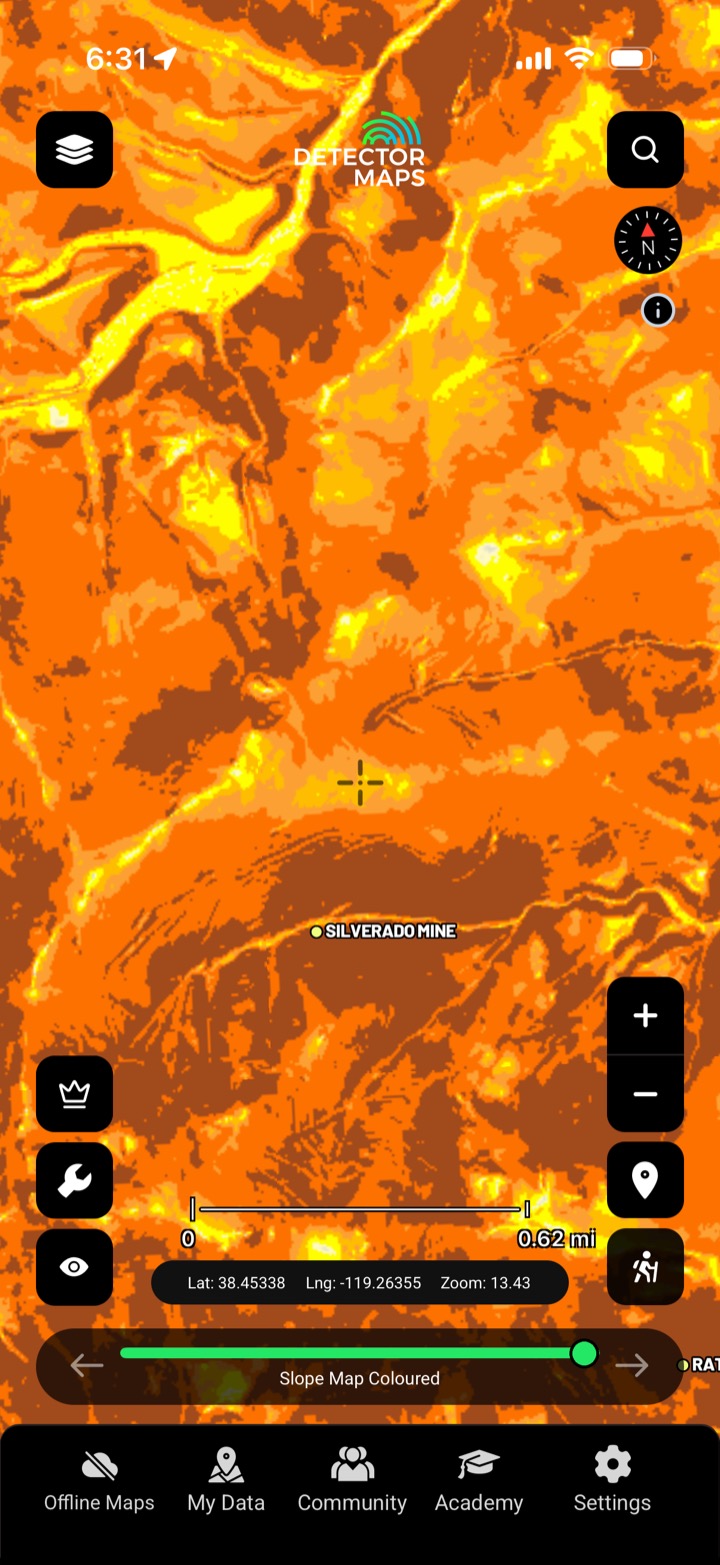
Colour the terrain by slope or height to read benches, races and flats.
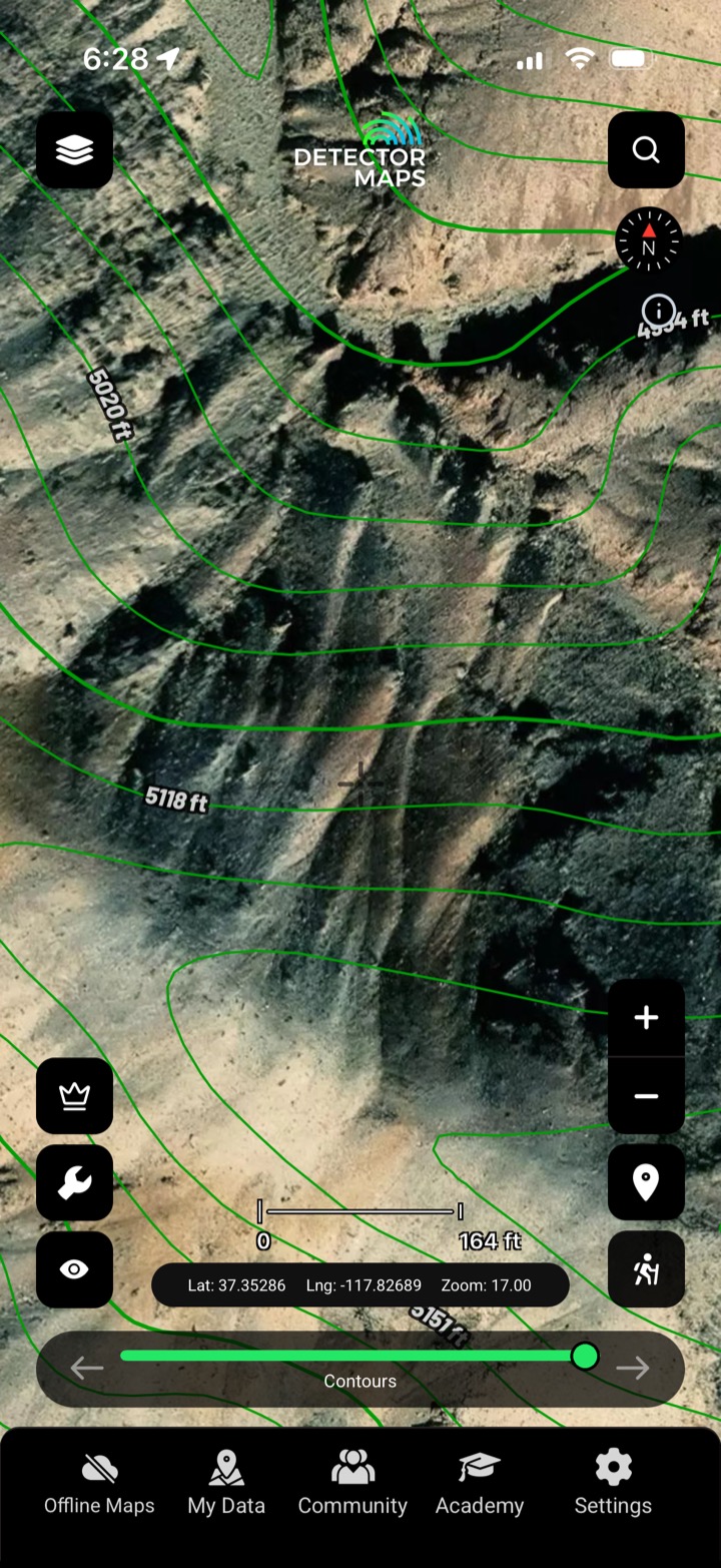
Fine contours for reading gradient and old water-races.
Costeans, adits, tailings and benches the bush hides.

The default bare-earth render.

Grazing light exaggerates subtle relief.

Lit from the east for cross-features.

Lit from the south to catch the rest.

Steepness mapped to colour.

Height mapped to colour over the relief.

Set your own light angle and exaggeration.

Fine contour lines for reading gradient.
Where available it’s 1-metre bare-earth — fine enough to read costeans and benches.
A feature invisible under one light angle pops under another. Multiple renders plus slope and elevation tints mean nothing hides.
Yes — the custom hillshade lets you set the light angle and exaggeration to suit the ground.
Wherever public LiDAR coverage exists across the gold-bearing US states.
Every layer, every gold-bearing state — on one map you can take off-grid.
3-day free trial · Nothing charged until it ends · Cancel anytime
Prospect smarter, not harder. .
Trip reports, layer updates, the occasional gold-find email. No spam.
© 2026 Gold Discovery Solutions Pty Ltd