Detector Maps
Start free for 3 days on any yearly plan — nothing charged until the trial ends.
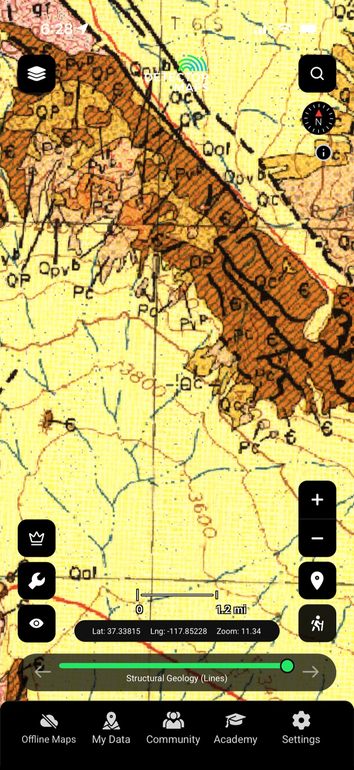
Seamless bedrock geology from the state and federal surveys — the host rocks, contacts and structures that control where gold sits.
Start free trial3-day free trial · Nothing charged until it ends · Cancel anytime

The geology layer maps the bedrock — units, contacts and faults — compiled from the state and USGS surveys. Gold concentrates along certain rocks and structures; read them and you read the ground.
See the units that carry gold and the ones that don't.
Faults and contacts are where fluids — and gold — move.
Overlay geochemistry and prospectivity to see why an anomaly sits where it does.
Compiled from the state geological surveys and the USGS.

Seamless geology compiled across the survey maps.
State geological surveys and the USGS, compiled into a seamless layer.
It maps bedrock units, contacts and major structures at survey scale — enough to read the host rocks.
Gold concentrates along particular rocks and structures. Reading the geology tells you which ground is worth your geochem and detector time.
The gold-bearing US states covered by the survey compilations.
Every layer, every gold-bearing state — on one map you can take off-grid.
3-day free trial · Nothing charged until it ends · Cancel anytime
Prospect smarter, not harder. .
Trip reports, layer updates, the occasional gold-find email. No spam.
© 2026 Gold Discovery Solutions Pty Ltd