Detector Maps
Start free for 3 days on any yearly plan — nothing charged until the trial ends.
Our model reads decades of occurrences, geochemistry and geology and scores the ground — so you can see where gold is most likely before you've driven an hour.
Start free trial3-day free trial · Nothing charged until it ends · Cancel anytime

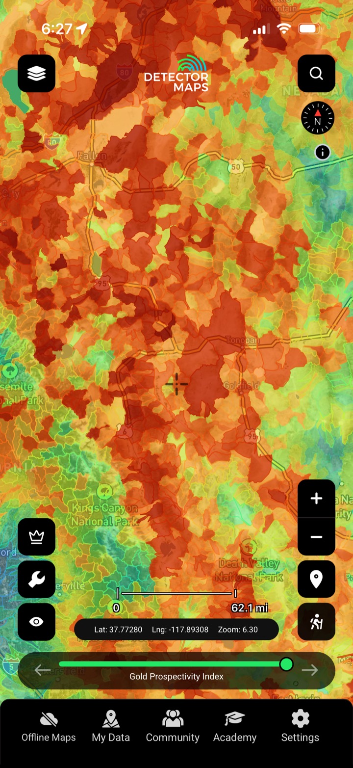
The prospectivity layers rank ground by how strongly the record points to gold — placer and lode scored separately, rolled up by catchment. It's a search-narrowing tool built on real data, not a promise of a find.
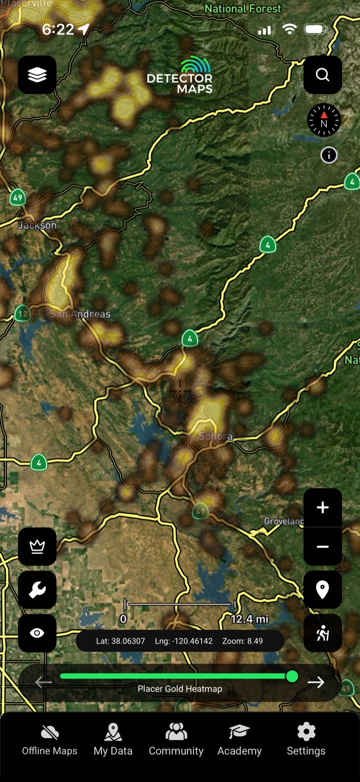
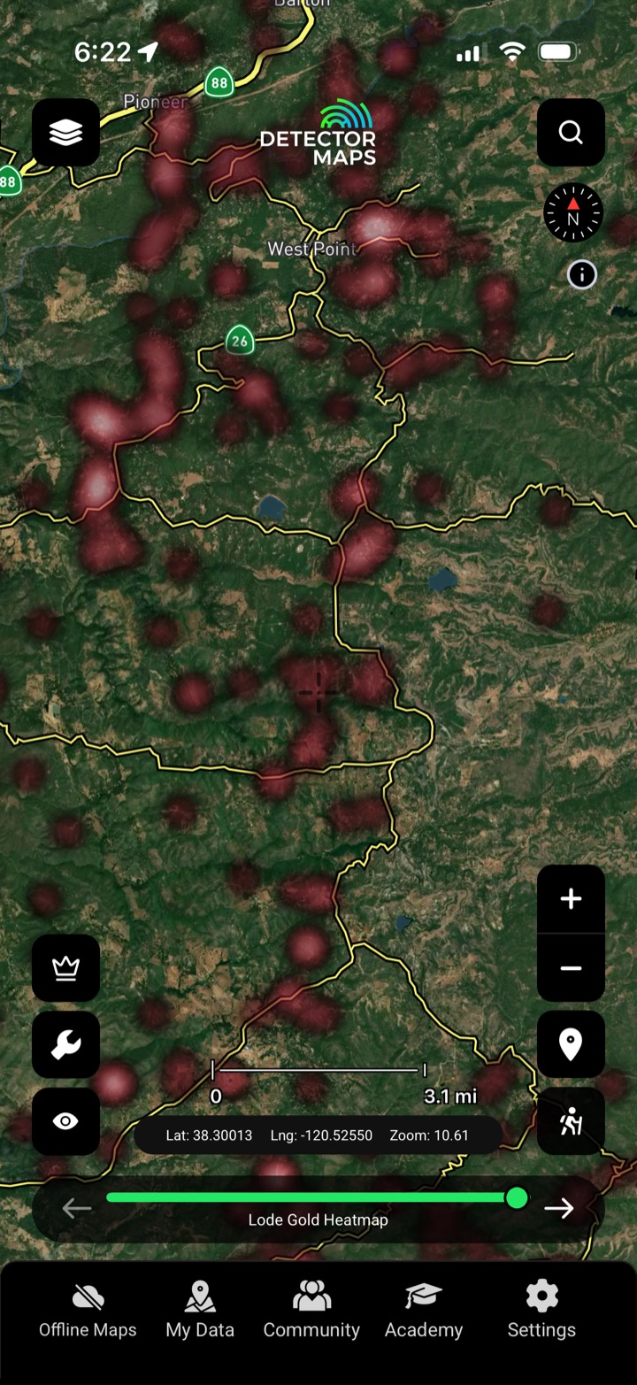
Separate heatmaps for placer and lode so you target the right style of ground.
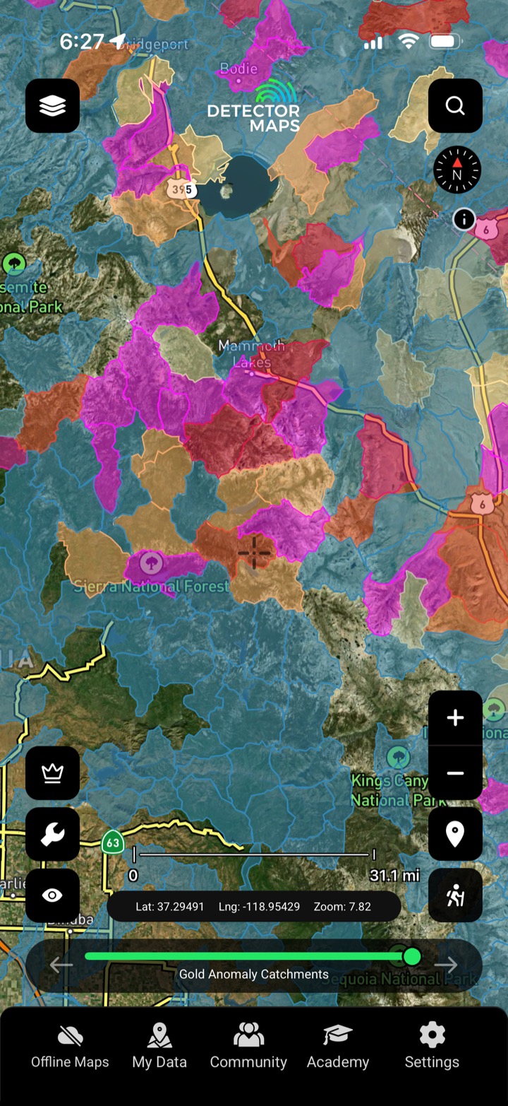
Anomalies rolled up by catchment so you read whole gullies, not just points.
See the hottest ground first and spend your weekend where the odds are best.
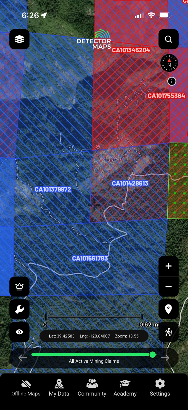
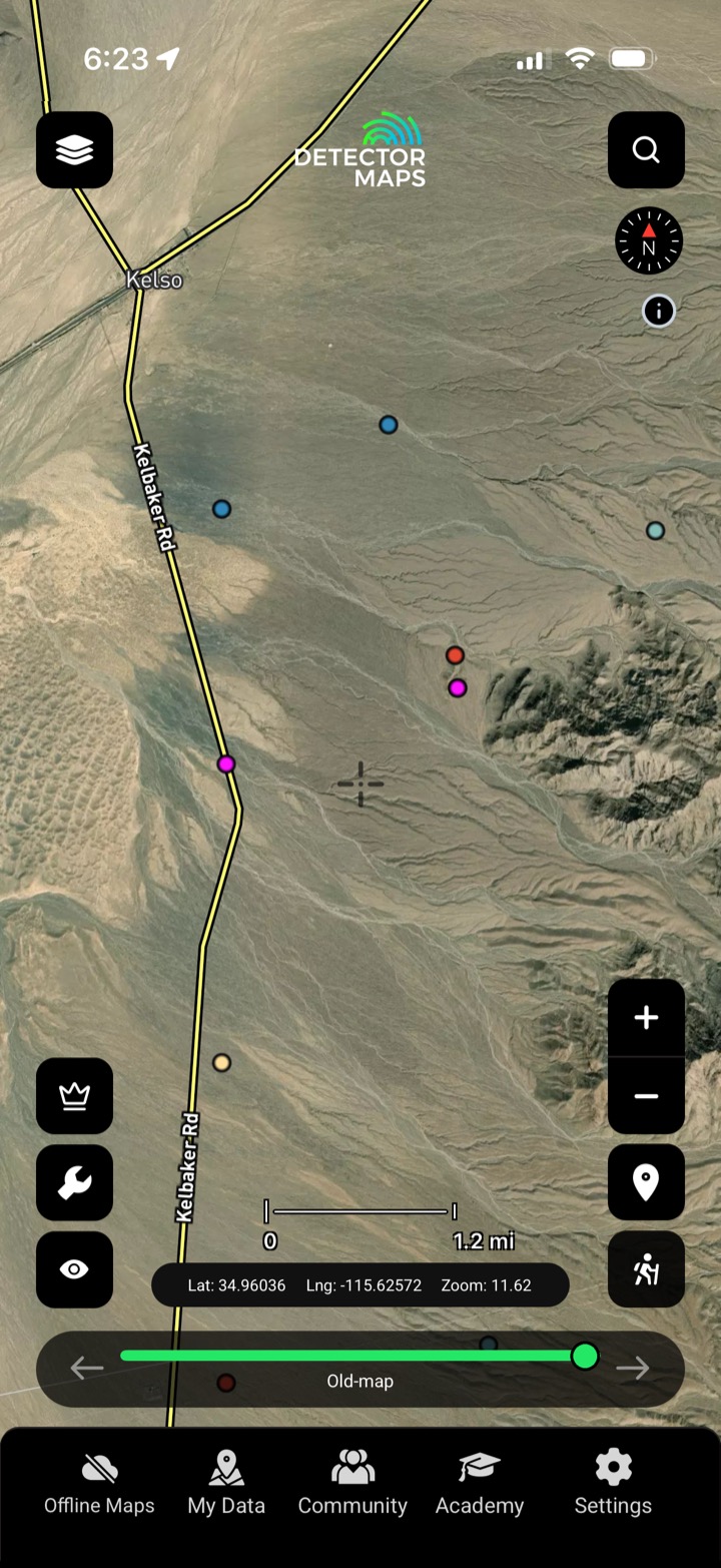
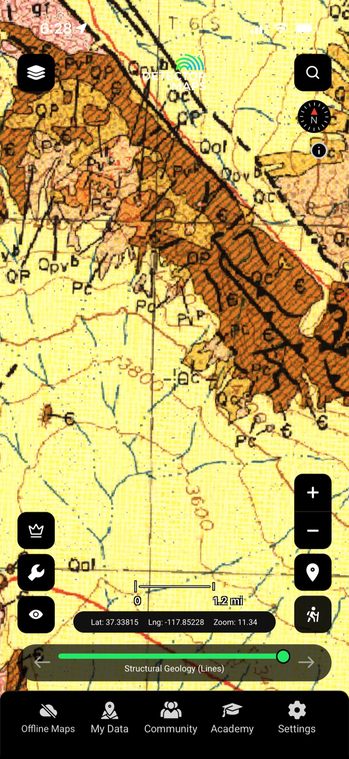
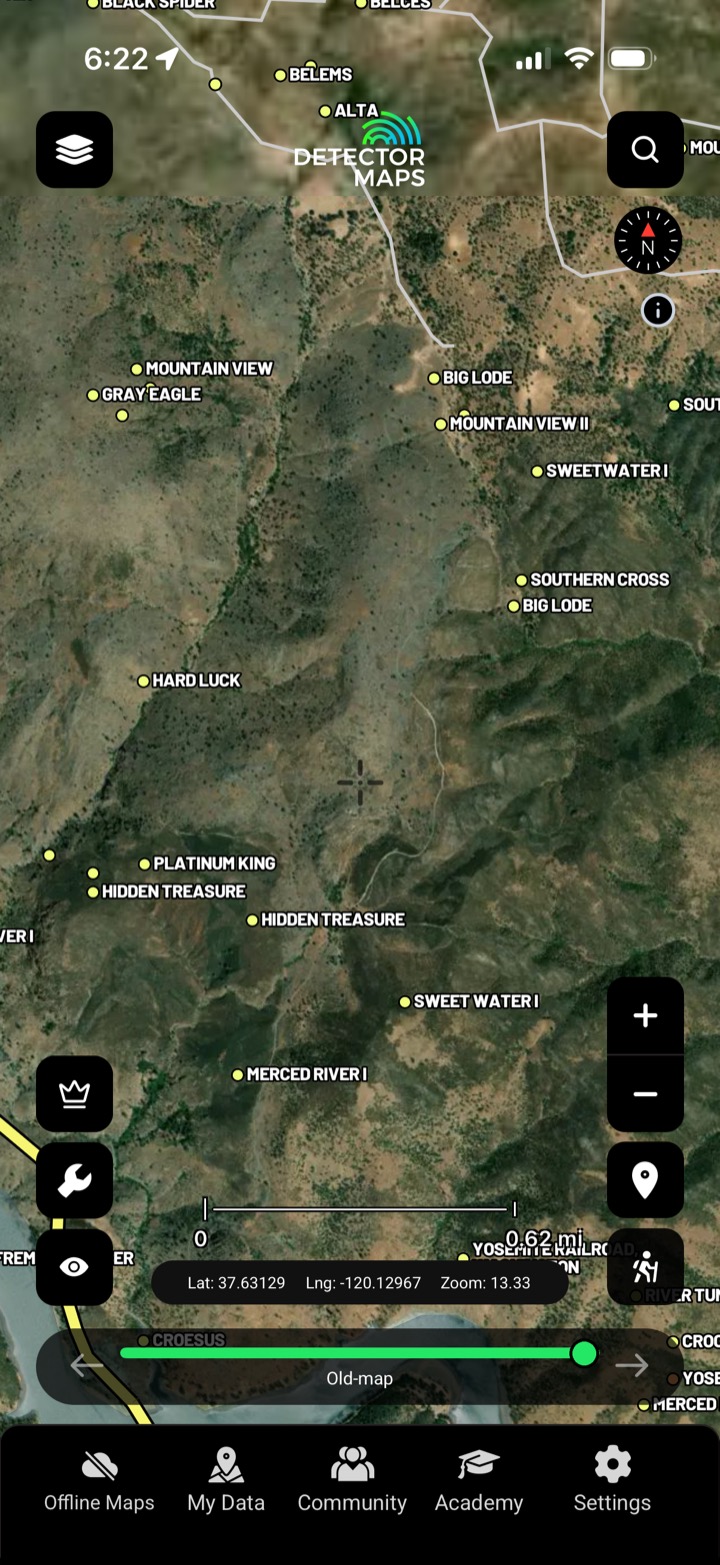
Pair it with claims, geochem and historic workings to confirm the story.

Where alluvial gold is most likely.

Reef and hard-rock prospectivity.

Whole catchments scored and ranked.

Geochem anomalies rolled up to catchment.
It weights recorded gold occurrences, geochemistry and favourable geology into a score per area — placer and lode separately.
No. It means the data points there more strongly than elsewhere. It narrows the search — always ground-truth before you commit.
Placer scores alluvial, loose-gold ground; lode scores vein and hard-rock sources. We map both.
The gold-bearing US states, the same model in every one.
Every layer, every gold-bearing state — on one map you can take off-grid.
3-day free trial · Nothing charged until it ends · Cancel anytime
Prospect smarter, not harder. .
Trip reports, layer updates, the occasional gold-find email. No spam.
© 2026 Gold Discovery Solutions Pty Ltd