Detector Maps
Start free for 3 days on any yearly plan — nothing charged until the trial ends.
Soil, stream-sediment and stream-concentrate assays from the public record — including the pathfinder elements that ride with gold — plotted where the samples were actually taken.
Start free trial3-day free trial · Nothing charged until it ends · Cancel anytime

Government and company geochemistry, mapped where each sample sits. Filter for gold or the pathfinder elements that halo it, and read the anomalies that point at mineralised ground.
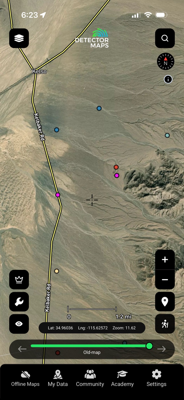
Soil, stream-sediment and stream-concentrate assays plotted at the sample site.
Filter for arsenic, antimony and the other elements that flag gold systems.
Read clusters and highs that point at mineralised ground.
Use it to ground-truth a prospectivity hotspot before you drive.

Soil assays plotted at the sample site.

Stream-sediment assays along the drainages.

Panned-concentrate assays from the creeks.
Gold plus the pathfinder elements that flag gold systems — arsenic, antimony and others, where the surveys reported them.
Public government and company geochemical surveys, plotted where each sample was collected.
Pathfinders often halo a gold system more widely than gold itself — strong pathfinder highs can point at ground worth a closer look.
The gold-bearing US states covered by published geochemistry.
Every layer, every gold-bearing state — on one map you can take off-grid.
3-day free trial · Nothing charged until it ends · Cancel anytime
Prospect smarter, not harder. .
Trip reports, layer updates, the occasional gold-find email. No spam.
© 2026 Gold Discovery Solutions Pty Ltd