Detector Maps
Start free for 3 days on any yearly plan — nothing charged until the trial ends.
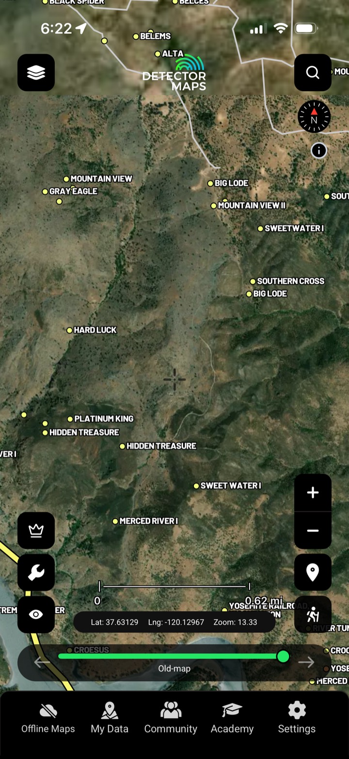
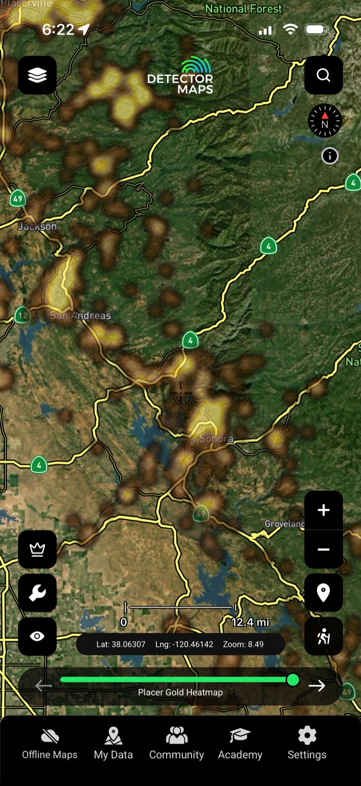
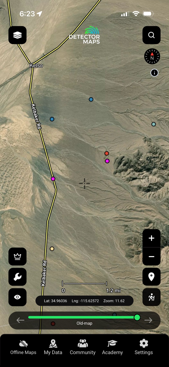
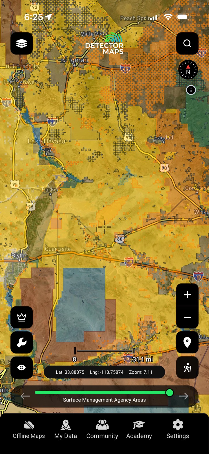
Recorded gold occurrences, old workings and the mine symbols off the historic topo sheets — geo-referenced onto the map where the ground actually is.
Start free trial3-day free trial · Nothing charged until it ends · Cancel anytime

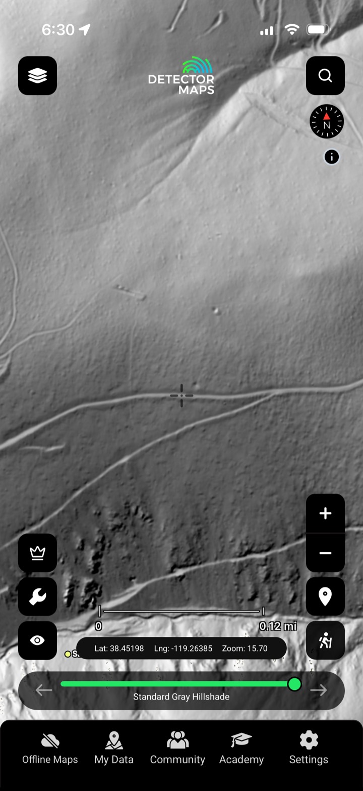
Every recorded gold occurrence and old working we can source, plus the mine and prospect symbols lifted from historic topo maps — placed where the ground sits today, so you can prospect near proven gold.
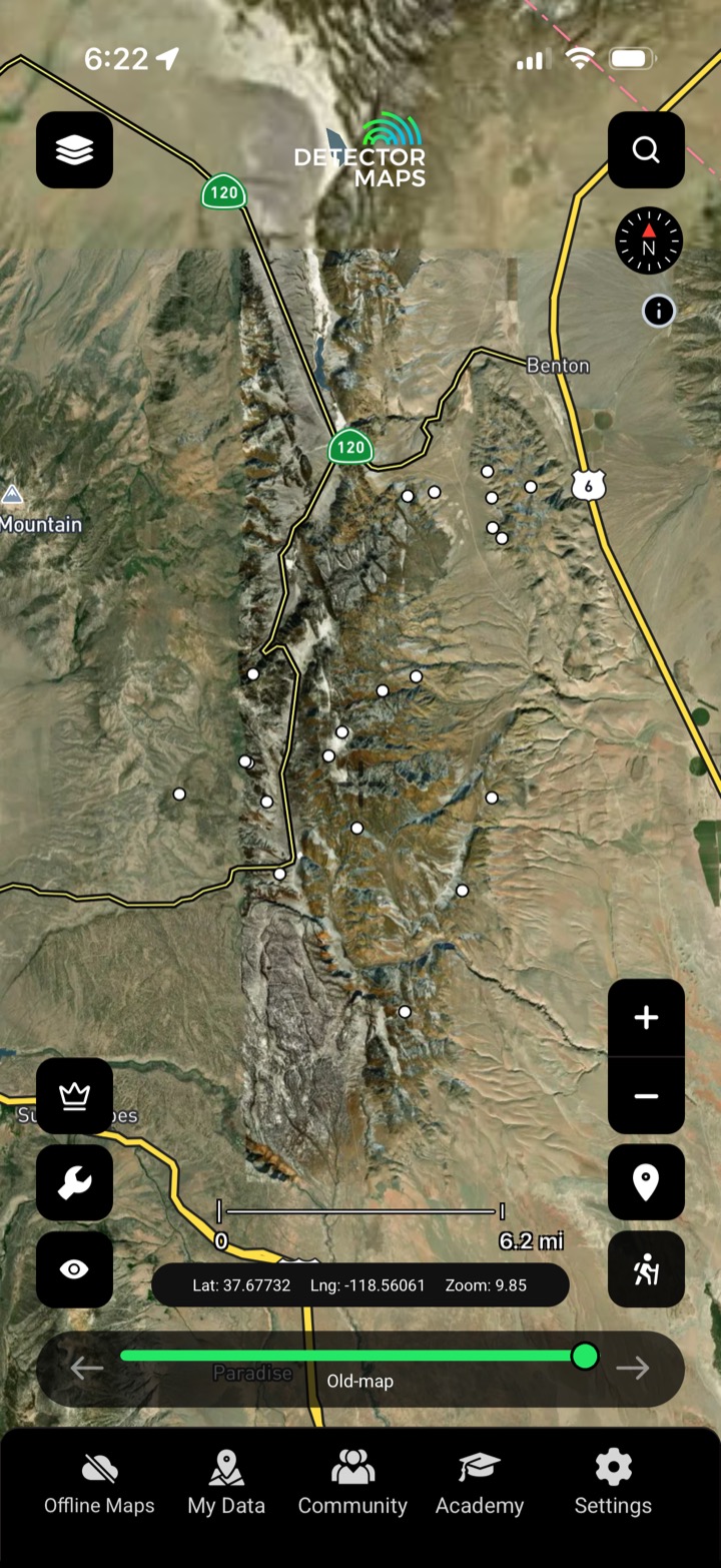
Documented gold occurrences from the survey record, mapped.
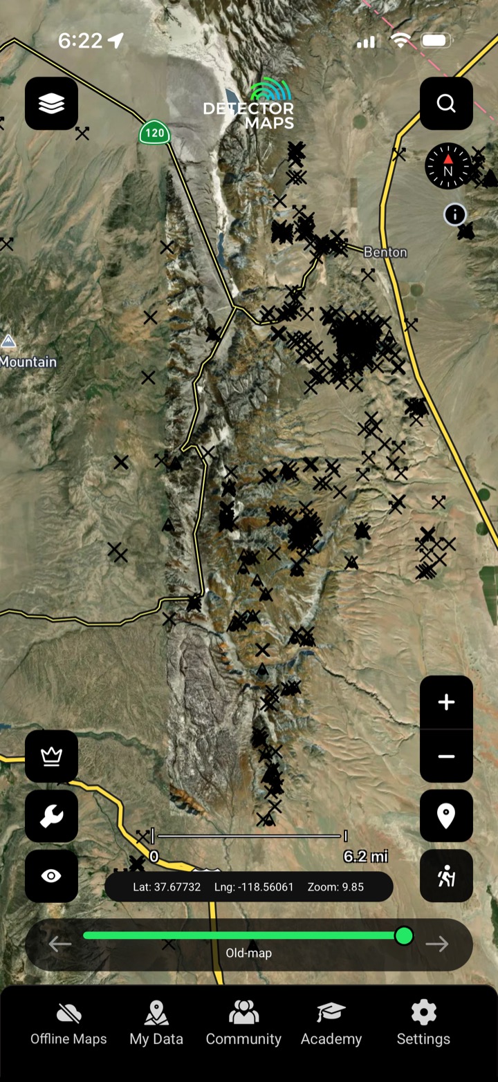
Where earlier miners already pulled gold out.
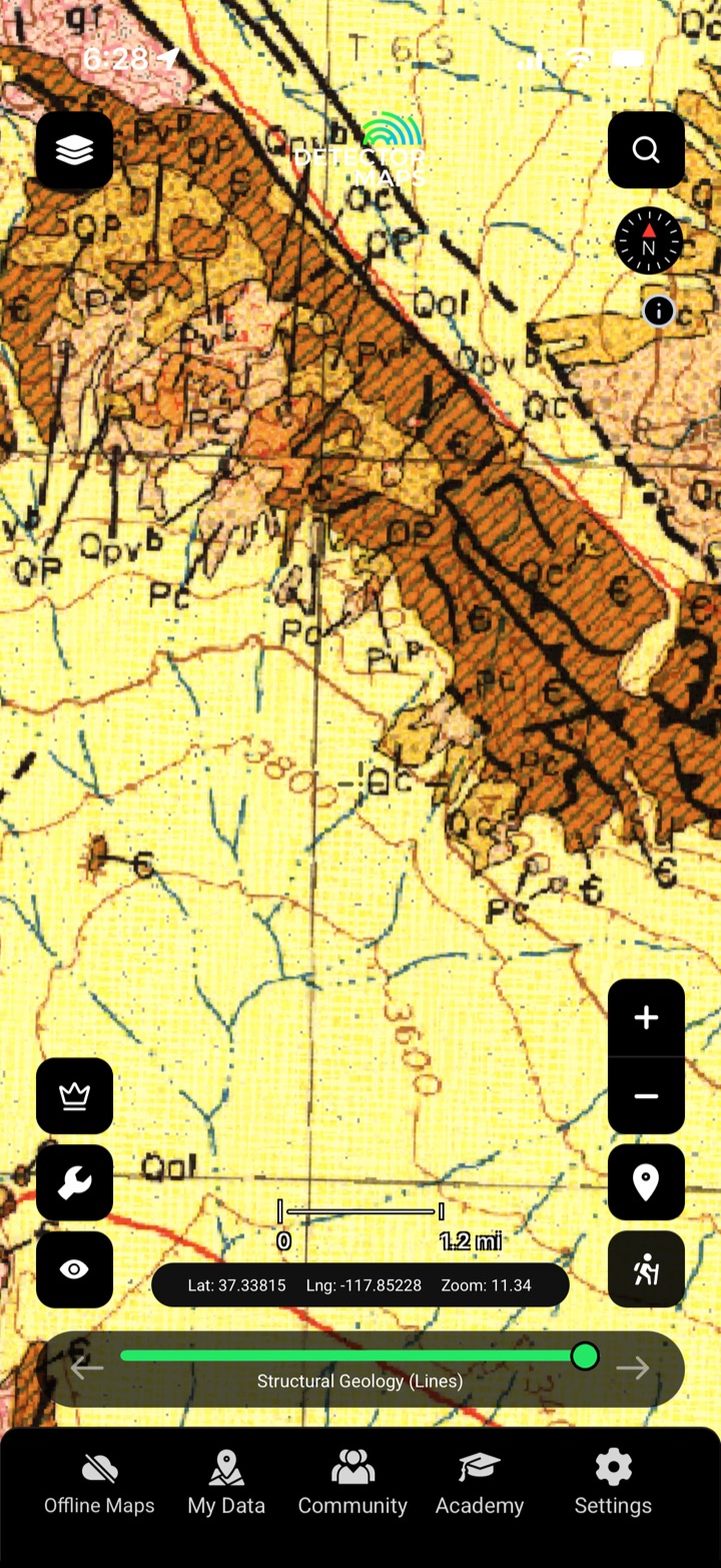
Mine and prospect symbols off the historic sheets, geo-referenced.
Work the edges and overlooked ground around known finds.

Documented occurrences from the record.

Additional reported finds and shows.

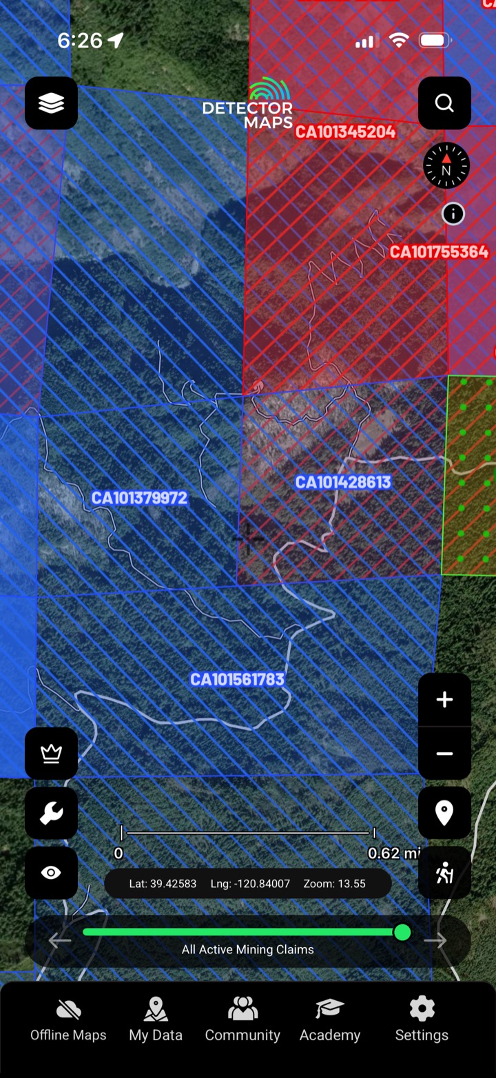
Mine & prospect symbols off historic sheets.
Recorded gold occurrences, old mines and diggings, and the mine and prospect symbols printed on historic topographic maps.
Occurrences are placed from the survey record; topo symbols are geo-referenced from the historic sheets — always confirm on the ground.
Earlier miners found gold there — the surrounding and overlooked ground is often the best modern lead.
The gold-bearing US states covered by the historic record.
Every layer, every gold-bearing state — on one map you can take off-grid.
3-day free trial · Nothing charged until it ends · Cancel anytime
Prospect smarter, not harder. .
Trip reports, layer updates, the occasional gold-find email. No spam.
© 2026 Gold Discovery Solutions Pty Ltd