All Finds
Historic find records show reported objects from earlier periods.
On iPhone? Get it on the App StoreOn Android? Get it on Google Play
Free to download on iPhone and Android.
7-day free trial on yearly plans · Nothing charged until it ends · Cancel anytime.
On your phone: App Store · Google Play
7-day free trial on yearly plans · Nothing charged until it ends · Cancel anytime.
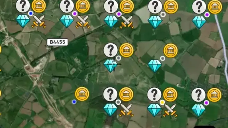 © Mapbox, © Maxar
Satellite imagery © Mapbox, © Maxar. Layer data from the sources named on each card.
About this layer
Historic find records show reported objects from earlier periods. The points indicate a general area rather than an exact place to dig. Compare several records to research an area, and obtain the required permissions before detecting.
What it is for
Read the available record and compare its date, description and location with other historical sources.
Limits
Record locations may be generalised or approximate. Historic interest does not establish permission to detect or disturb a site.
Drawn in each nation.

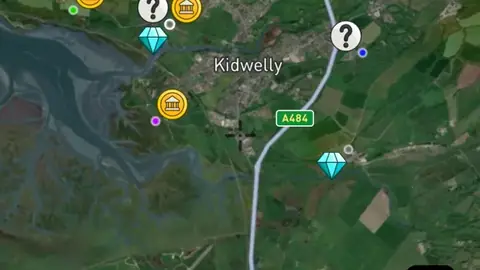
Satellite imagery © Mapbox, © Maxar. Layer data from the sources named on each card.
Where the data comes from.
Data © OpenStreetMap contributors, UK public datasets; styling © Detector Maps™
Disclaimer: This dataset of recorded finds are not exact locations. All information is sourced from publicly available records in the PAS Database.
Data © OpenStreetMap contributors, UK & Wales public datasets; styling © Detector Maps™
Disclaimer: This dataset of recorded finds are not exact locations. All information is sourced from publicly available records in the PAS Database.
How it is drawn.
- Bronze Age
- Iron Age
- Roman
- Early Medieval
- Medieval
- Post Medieval
- Other
Filters in the app
What the pills mean.
Every layer shows the plan that opens it. The free plan never runs out. Prices are shown once, here.
Open on every plan, forever. Includes recorded finds and old maps where the place has them.
Opens every base layer, and offline maps for the areas you choose. £50 a year or £10 a month, including 20% VAT.
A layer sold on its own: the Dynamic NDVI add-on for England, +£50 a year.
7-day free trial on yearly plans · Nothing charged until it ends · Cancel anytime.
The UK has Free and Explorer. There is no Pro plan.
Satellite imagery © Mapbox, © Maxar. Layer data from the sources named on each card.
Plan the next trip tonight.
Free to download on iPhone and Android.
On iPhone? Get it on the App StoreOn Android? Get it on Google Play
Free to download on iPhone and Android.
7-day free trial on yearly plans · Nothing charged until it ends · Cancel anytime.
On your phone: App Store · Google Play
7-day free trial on yearly plans · Nothing charged until it ends · Cancel anytime.
The Detector Maps support inbox is staffed by Matt and Tom, the two brothers who built it. Contact us