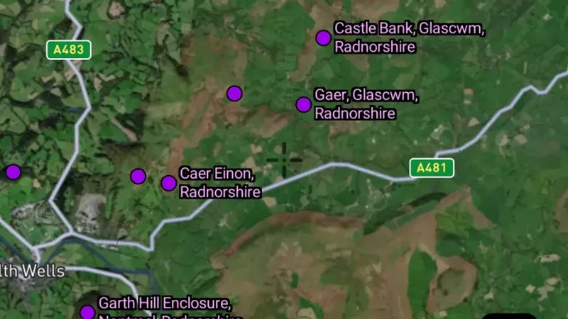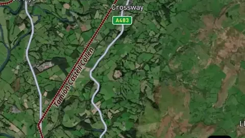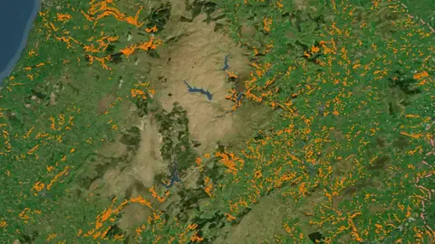
Map library · United Kingdom

Wales map layers

41 layers for metal detecting in Wales, in 11 categories. 2 are free on every plan: All Finds and All Finds Heatmap. 39 more open with Explorer.

Layers marked Next update arrive in the next app update. 34 of these are also in other nations in United Kingdom. Each links to one page that lists them all.

41 layers11 categoriesFree 2Explorer 39

Other nations

On iPhone? Get it on the App StoreOn Android? Get it on Google Play

Free to download on iPhone and Android.

7-day free trial on yearly plans · Nothing charged until it ends · Cancel anytime.

Scan with your phone camera to get the app
Start free trialOpen the web map

On your phone: App Store · Google Play

7-day free trial on yearly plans · Nothing charged until it ends · Cancel anytime.

4.7 / 5 from 2,400+ ratings on the App Store and Google Play · 10,000+ prospectors and detectorists
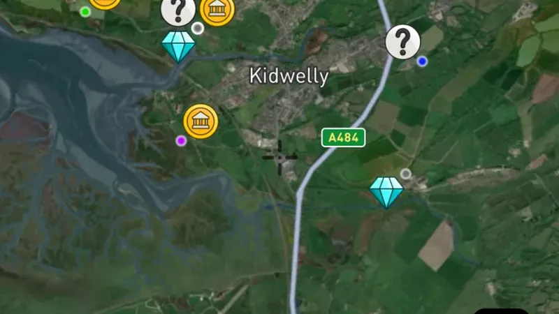
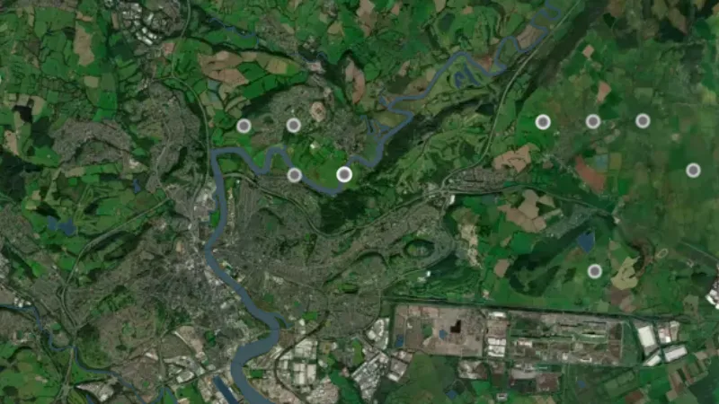
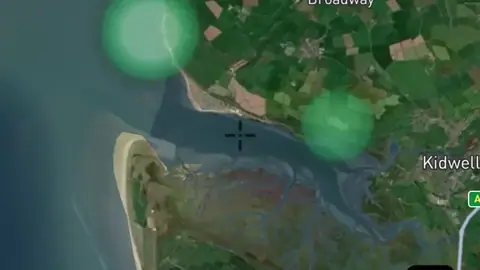
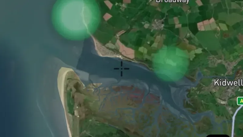
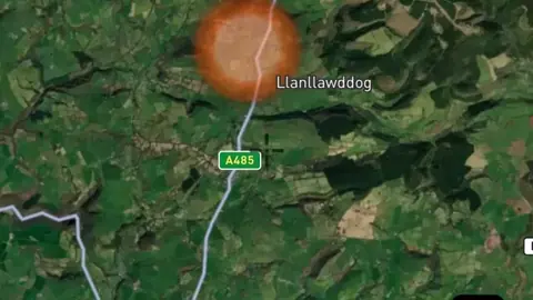
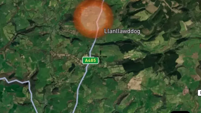
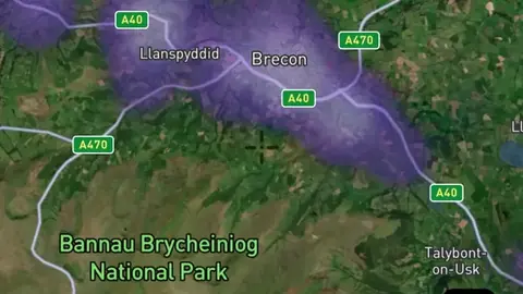
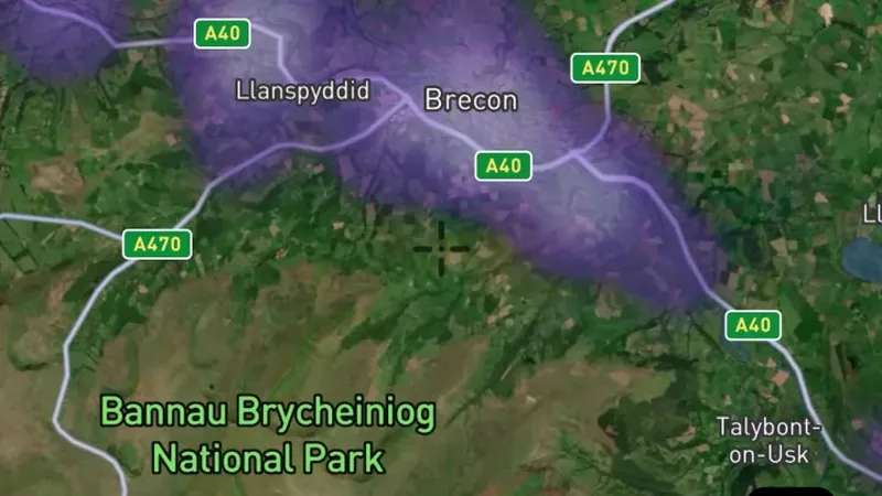
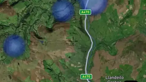
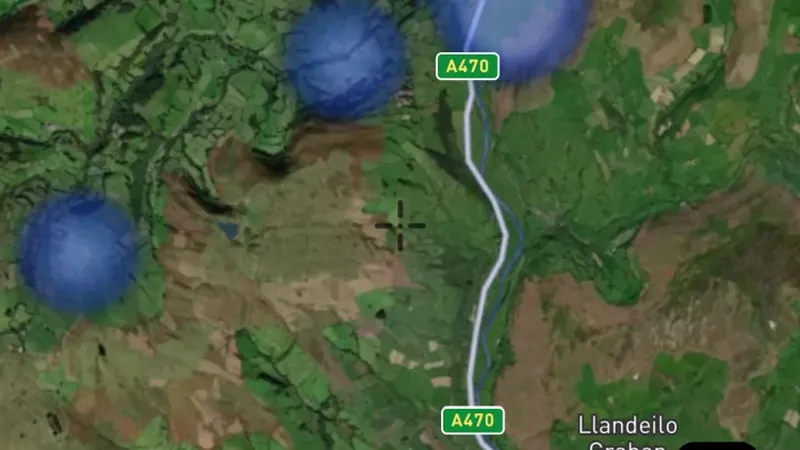
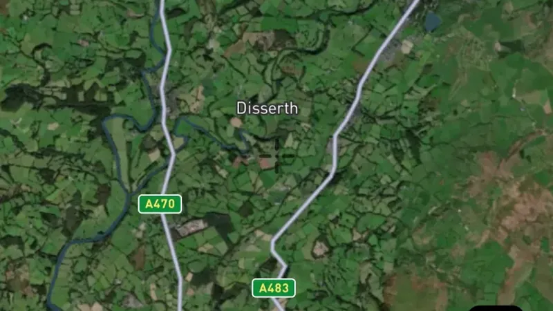
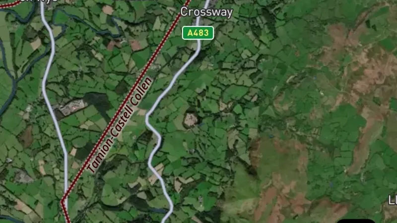
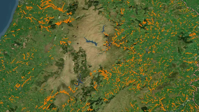
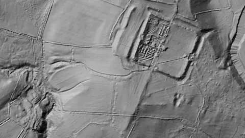
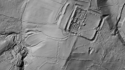
Dynamic LiDAR™ in Wales, drawn over satellite imagery© Mapbox, © Maxar

Satellite imagery © Mapbox, © Maxar. Layer data from the sources named on each card.

Satellite imagery © Mapbox, © Maxar. Layer data from the sources named on each card.

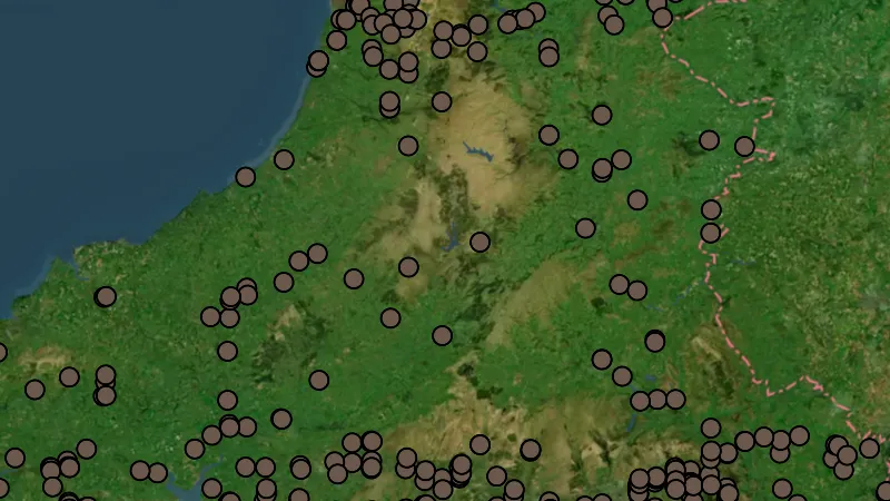
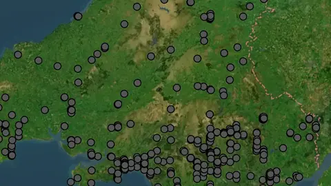
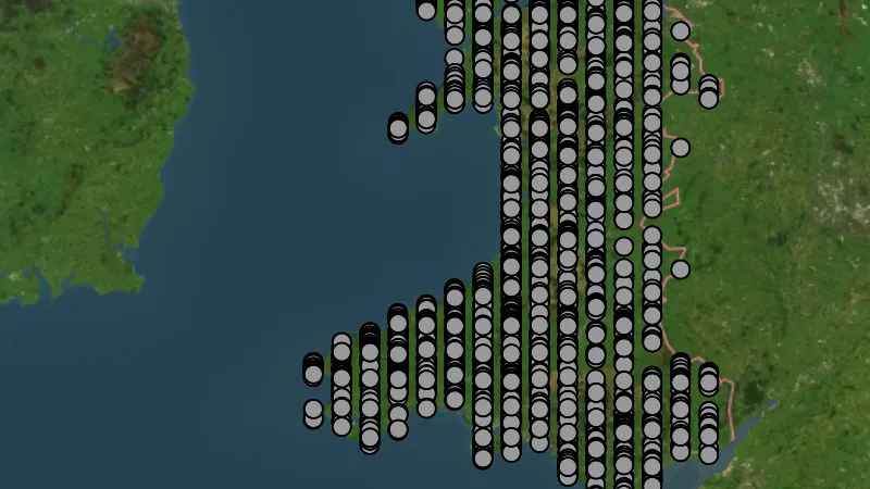
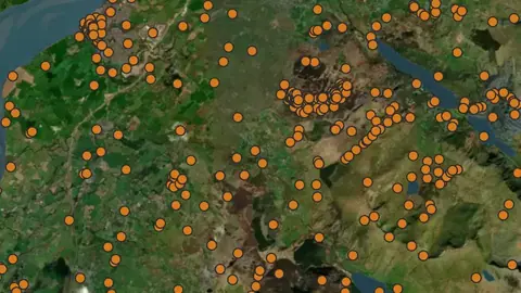
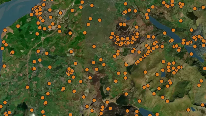
Historic Find Points (1km Radius)

8
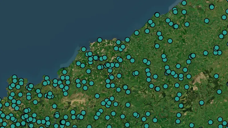
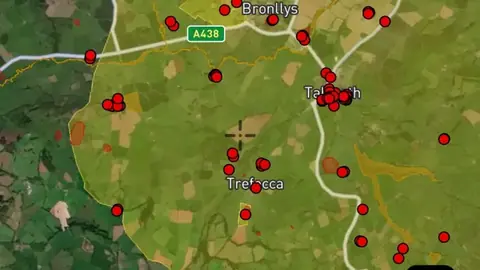
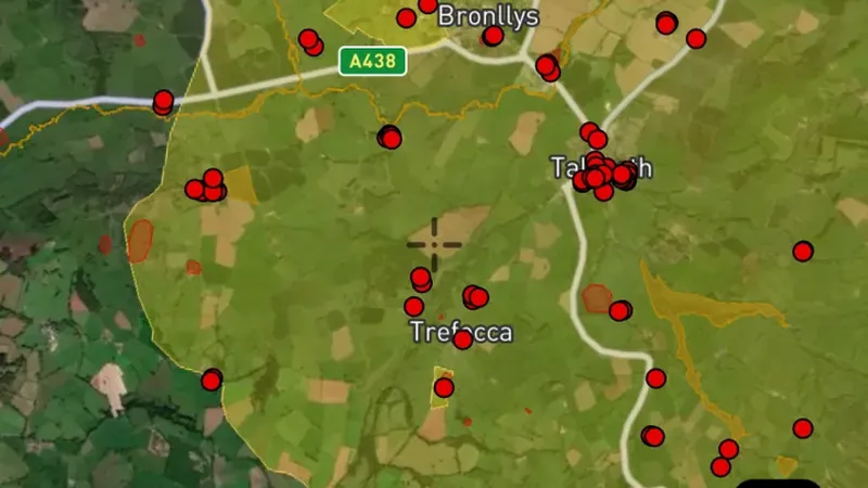
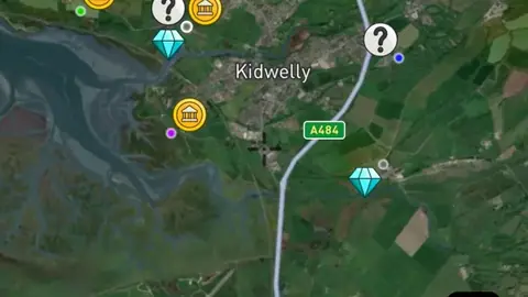
  • All Finds in the Detector Maps app, Wales© Mapbox, © Maxar
    Historic Find Points (1km Radius)Free

    All Finds

    Historic find records show reported objects from earlier periods.

    Also in 1 other nation in United Kingdom
    Read the write-up
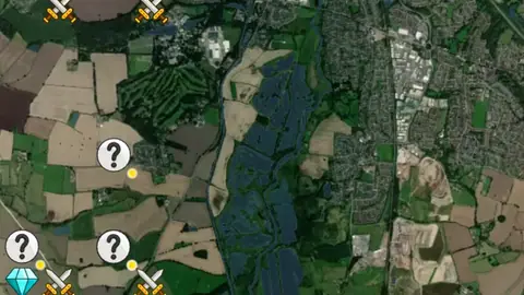
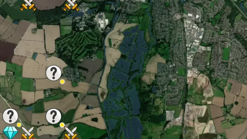
    All Finds in the Detector Maps app, Wales© Mapbox, © Maxar

    A screen from the Detector Maps app. Satellite imagery © Mapbox, © Maxar.

    Free. Opens on every plan, including Free.

    Open in the app

    This layer works the same way in 2 places in United Kingdom, so its full write-up, legend and plan are on one page.

    Read the full write-up

    Source in Wales

    Data © OpenStreetMap contributors, UK & Wales public datasets; styling © Detector Maps™

    Disclaimer: This dataset of recorded finds are not exact locations. All information is sourced from publicly available records in the PAS Database.

    Filters in the app

    Attribute filters
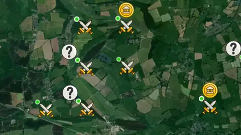
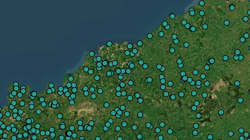
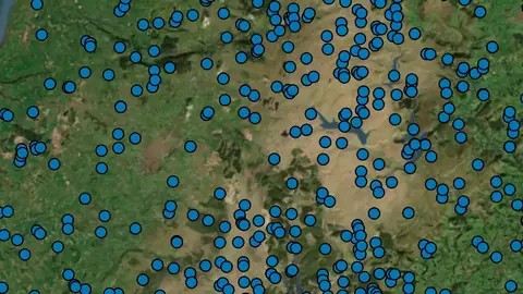
  • Bronze Age Finds in Wales, drawn over satellite imagery© Mapbox, © Maxar
    Historic Find Points (1km Radius)Explorer

    Bronze Age Finds

    Historic find records show reported objects from earlier periods.

    Also in 1 other nation in United Kingdom
    Read the write-up
    Bronze Age Finds in Wales, drawn over satellite imagery© Mapbox, © Maxar

    The layer drawn over satellite imagery. Satellite imagery © Mapbox, © Maxar.

    Explorer. Opens with Explorer. On the Free plan it works inside your one free area of 250 km².

    Open in the app

    This layer works the same way in 2 places in United Kingdom, so its full write-up, legend and plan are on one page.

    Read the full write-up

    Source in Wales

    Data © OpenStreetMap contributors, UK & Wales public datasets; styling © Detector Maps™

    Disclaimer: This dataset of recorded finds are not exact locations. All information is sourced from publicly available records in the PAS Database.

    Filters in the app

    Attribute filters
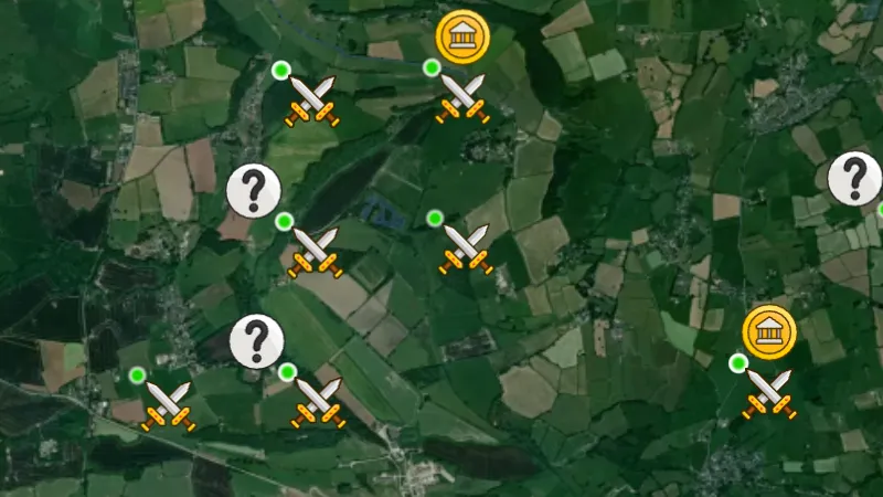
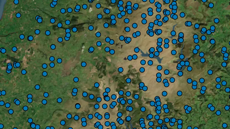
  • Iron Age Finds in Wales, drawn over satellite imagery© Mapbox, © Maxar
    Historic Find Points (1km Radius)Explorer

    Iron Age Finds

    Historic find records show reported objects from earlier periods.

    Also in 1 other nation in United Kingdom
    Read the write-up
    Iron Age Finds in Wales, drawn over satellite imagery© Mapbox, © Maxar

    The layer drawn over satellite imagery. Satellite imagery © Mapbox, © Maxar.

    Explorer. Opens with Explorer. On the Free plan it works inside your one free area of 250 km².

    Open in the app

    This layer works the same way in 2 places in United Kingdom, so its full write-up, legend and plan are on one page.

    Read the full write-up

    Source in Wales

    Data © OpenStreetMap contributors, UK & Wales public datasets; styling © Detector Maps™

    Disclaimer: This dataset of recorded finds are not exact locations. All information is sourced from publicly available records in the PAS Database.

    Filters in the app

    Attribute filters
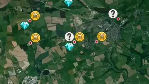
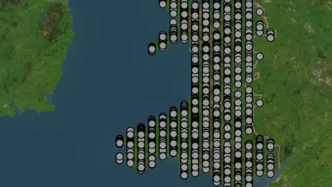
  • Roman Finds in Wales, drawn over satellite imagery© Mapbox, © Maxar
    Historic Find Points (1km Radius)Explorer

    Roman Finds

    Historic find records show reported objects from earlier periods.

    Also in 1 other nation in United Kingdom
    Read the write-up
    Roman Finds in Wales, drawn over satellite imagery© Mapbox, © Maxar

    The layer drawn over satellite imagery. Satellite imagery © Mapbox, © Maxar.

    Explorer. Opens with Explorer. On the Free plan it works inside your one free area of 250 km².

    Open in the app

    This layer works the same way in 2 places in United Kingdom, so its full write-up, legend and plan are on one page.

    Read the full write-up

    Source in Wales

    Data © OpenStreetMap contributors, UK & Wales public datasets; styling © Detector Maps™

    Disclaimer: This dataset of recorded finds are not exact locations. All information is sourced from publicly available records in the PAS Database.

    Filters in the app

    Attribute filters
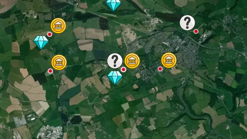
  • Early Medieval Finds in Wales, drawn over satellite imagery© Mapbox, © Maxar
    Historic Find Points (1km Radius)Explorer

    Early Medieval Finds

    Historic find records show reported objects from earlier periods.

    Also in 1 other nation in United Kingdom
    Read the write-up
    Early Medieval Finds in Wales, drawn over satellite imagery© Mapbox, © Maxar

    The layer drawn over satellite imagery. Satellite imagery © Mapbox, © Maxar.

    Explorer. Opens with Explorer. On the Free plan it works inside your one free area of 250 km².

    Open in the app

    This layer works the same way in 2 places in United Kingdom, so its full write-up, legend and plan are on one page.

    Read the full write-up

    Source in Wales

    Data © OpenStreetMap contributors, UK & Wales public datasets; styling © Detector Maps™

    Disclaimer: This dataset of recorded finds are not exact locations. All information is sourced from publicly available records in the PAS Database.

    Filters in the app

    Attribute filters
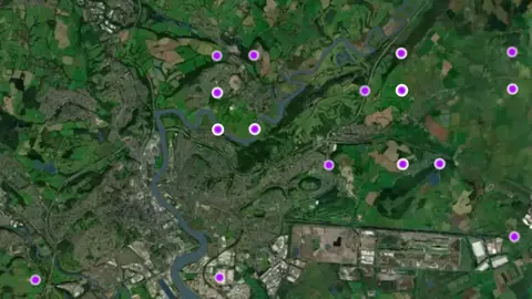
  • Medieval Finds in Wales, drawn over satellite imagery© Mapbox, © Maxar
    Historic Find Points (1km Radius)Explorer

    Medieval Finds

    Historic find records show reported objects from earlier periods.

    Also in 1 other nation in United Kingdom
    Read the write-up
    Medieval Finds in Wales, drawn over satellite imagery© Mapbox, © Maxar

    The layer drawn over satellite imagery. Satellite imagery © Mapbox, © Maxar.

    Explorer. Opens with Explorer. On the Free plan it works inside your one free area of 250 km².

    Open in the app

    This layer works the same way in 2 places in United Kingdom, so its full write-up, legend and plan are on one page.

    Read the full write-up

    Source in Wales

    Data © OpenStreetMap contributors, UK & Wales public datasets; styling © Detector Maps™

    Disclaimer: This dataset of recorded finds are not exact locations. All information is sourced from publicly available records in the PAS Database.

    Filters in the app

    Attribute filters
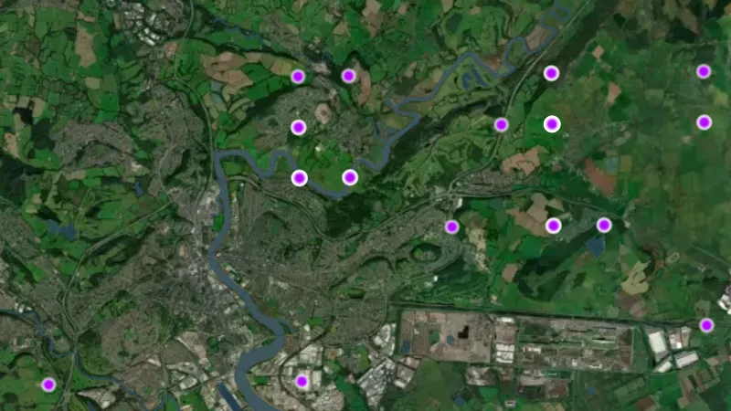
  • Post Medieval Finds in Wales, drawn over satellite imagery© Mapbox, © Maxar
    Historic Find Points (1km Radius)Explorer

    Post Medieval Finds

    Historic find records show reported objects from earlier periods.

    Also in 1 other nation in United Kingdom
    Read the write-up
    Post Medieval Finds in Wales, drawn over satellite imagery© Mapbox, © Maxar

    The layer drawn over satellite imagery. Satellite imagery © Mapbox, © Maxar.

    Explorer. Opens with Explorer. On the Free plan it works inside your one free area of 250 km².

    Open in the app

    This layer works the same way in 2 places in United Kingdom, so its full write-up, legend and plan are on one page.

    Read the full write-up

    Source in Wales

    Data © OpenStreetMap contributors, UK & Wales public datasets; styling © Detector Maps™

    Disclaimer: This dataset of recorded finds are not exact locations. All information is sourced from publicly available records in the PAS Database.

    Filters in the app

    Attribute filters
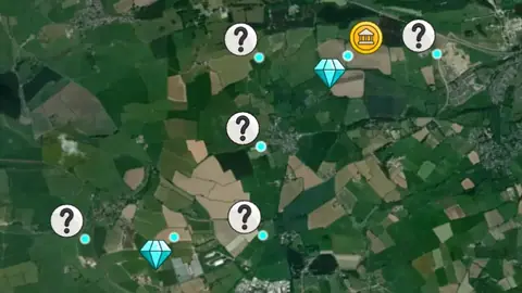
  • Other Finds in Wales, drawn over satellite imagery© Mapbox, © Maxar
    Historic Find Points (1km Radius)Explorer

    Other Finds

    Historic find records show reported objects from earlier periods.

    Also in 1 other nation in United Kingdom
    Read the write-up
    Other Finds in Wales, drawn over satellite imagery© Mapbox, © Maxar

    Same layer as in England: this region's own picture was not clear enough, so the England one stands in. Satellite imagery © Mapbox, © Maxar.

    Explorer. Opens with Explorer. On the Free plan it works inside your one free area of 250 km².

    Open in the app

    This layer works the same way in 2 places in United Kingdom, so its full write-up, legend and plan are on one page.

    Read the full write-up

    Source in Wales

    Data © OpenStreetMap contributors, UK & Wales public datasets; styling © Detector Maps™

    Disclaimer: This dataset of recorded finds are not exact locations. All information is sourced from publicly available records in the PAS Database.

    Filters in the app

    Attribute filters
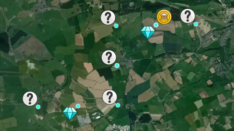
Historic Find Heatmaps

8
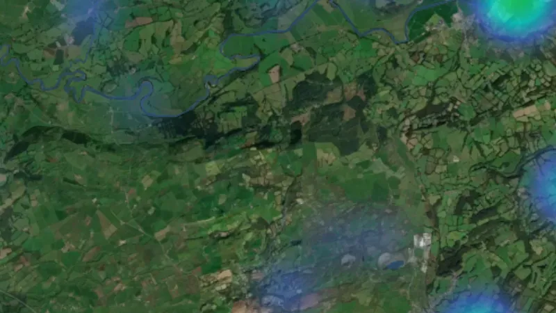
  • All Finds Heatmap in Wales, drawn over satellite imagery© Mapbox, © Maxar
    Historic Find HeatmapsFree

    All Finds Heatmap

    Find heatmaps highlight where reported historic finds are more concentrated.

    Also in 1 other nation in United Kingdom
    Read the write-up
    All Finds Heatmap in Wales, drawn over satellite imagery© Mapbox, © Maxar

    The layer drawn over satellite imagery. Satellite imagery © Mapbox, © Maxar.

    Free. Opens on every plan, including Free.

    Open in the app

    This layer works the same way in 2 places in United Kingdom, so its full write-up, legend and plan are on one page.

    Read the full write-up

    Source in Wales

    Data © OpenStreetMap contributors, UK & Wales public datasets; styling © Detector Maps™

  • Bronze Age Finds Heatmap in the Detector Maps app, Wales© Mapbox, © Maxar
    Historic Find HeatmapsExplorer

    Bronze Age Finds Heatmap

    Find heatmaps highlight where reported historic finds are more concentrated.

    Also in 1 other nation in United Kingdom
    Read the write-up
    Bronze Age Finds Heatmap in the Detector Maps app, Wales© Mapbox, © Maxar

    A screen from the Detector Maps app. Satellite imagery © Mapbox, © Maxar.

    Explorer. Opens with Explorer. On the Free plan it works inside your one free area of 250 km².

    Open in the app

    This layer works the same way in 2 places in United Kingdom, so its full write-up, legend and plan are on one page.

    Read the full write-up

    Source in Wales

    Data © OpenStreetMap contributors, UK & Wales public datasets; styling © Detector Maps™

  • Iron Age Finds Heatmap in the Detector Maps app, Wales© Mapbox, © Maxar
    Historic Find HeatmapsExplorer

    Iron Age Finds Heatmap

    Find heatmaps highlight where reported historic finds are more concentrated.

    Also in 1 other nation in United Kingdom
    Read the write-up
    Iron Age Finds Heatmap in the Detector Maps app, Wales© Mapbox, © Maxar

    A screen from the Detector Maps app. Satellite imagery © Mapbox, © Maxar.

    Explorer. Opens with Explorer. On the Free plan it works inside your one free area of 250 km².

    Open in the app

    This layer works the same way in 2 places in United Kingdom, so its full write-up, legend and plan are on one page.

    Read the full write-up

    Source in Wales

    Data © OpenStreetMap contributors, UK & Wales public datasets; styling © Detector Maps™

  • Roman Finds Heatmap in the Detector Maps app, Wales© Mapbox, © Maxar
    Historic Find HeatmapsExplorer

    Roman Finds Heatmap

    Find heatmaps highlight where reported historic finds are more concentrated.

    Also in 1 other nation in United Kingdom
    Read the write-up
    Roman Finds Heatmap in the Detector Maps app, Wales© Mapbox, © Maxar

    A screen from the Detector Maps app. Satellite imagery © Mapbox, © Maxar.

    Explorer. Opens with Explorer. On the Free plan it works inside your one free area of 250 km².

    Open in the app

    This layer works the same way in 2 places in United Kingdom, so its full write-up, legend and plan are on one page.

    Read the full write-up

    Source in Wales

    Data © OpenStreetMap contributors, UK & Wales public datasets; styling © Detector Maps™

  • Early Medieval Finds Heatmap in the Detector Maps app, Wales© Mapbox, © Maxar
    Historic Find HeatmapsExplorer

    Early Medieval Finds Heatmap

    Find heatmaps highlight where reported historic finds are more concentrated.

    Also in 1 other nation in United Kingdom
    Read the write-up
    Early Medieval Finds Heatmap in the Detector Maps app, Wales© Mapbox, © Maxar

    A screen from the Detector Maps app. Satellite imagery © Mapbox, © Maxar.

    Explorer. Opens with Explorer. On the Free plan it works inside your one free area of 250 km².

    Open in the app

    This layer works the same way in 2 places in United Kingdom, so its full write-up, legend and plan are on one page.

    Read the full write-up

    Source in Wales

    Data © OpenStreetMap contributors, UK & Wales public datasets; styling © Detector Maps™

  • Medieval Finds Heatmap in the Detector Maps app, Wales© Mapbox, © Maxar
    Historic Find HeatmapsExplorer

    Medieval Finds Heatmap

    Find heatmaps highlight where reported historic finds are more concentrated.

    Also in 1 other nation in United Kingdom
    Read the write-up
    Medieval Finds Heatmap in the Detector Maps app, Wales© Mapbox, © Maxar

    A screen from the Detector Maps app. Satellite imagery © Mapbox, © Maxar.

    Explorer. Opens with Explorer. On the Free plan it works inside your one free area of 250 km².

    Open in the app

    This layer works the same way in 2 places in United Kingdom, so its full write-up, legend and plan are on one page.

    Read the full write-up

    Source in Wales

    Data © OpenStreetMap contributors, UK & Wales public datasets; styling © Detector Maps™

  • Post Medieval Finds Heatmap in the Detector Maps app, Wales© Mapbox, © Maxar
    Historic Find HeatmapsExplorer

    Post Medieval Finds Heatmap

    Find heatmaps highlight where reported historic finds are more concentrated.

    Also in 1 other nation in United Kingdom
    Read the write-up
    Post Medieval Finds Heatmap in the Detector Maps app, Wales© Mapbox, © Maxar

    A screen from the Detector Maps app. Satellite imagery © Mapbox, © Maxar.

    Explorer. Opens with Explorer. On the Free plan it works inside your one free area of 250 km².

    Open in the app

    This layer works the same way in 2 places in United Kingdom, so its full write-up, legend and plan are on one page.

    Read the full write-up

    Source in Wales

    Data © OpenStreetMap contributors, UK & Wales public datasets; styling © Detector Maps™

  • Other Finds Heatmap in the Detector Maps app, Wales© Mapbox, © Maxar
    Historic Find HeatmapsExplorer

    Other Finds Heatmap

    Find heatmaps highlight where reported historic finds are more concentrated.

    Also in 1 other nation in United Kingdom
    Read the write-up
    Other Finds Heatmap in the Detector Maps app, Wales© Mapbox, © Maxar

    A screen from the Detector Maps app. Satellite imagery © Mapbox, © Maxar.

    Explorer. Opens with Explorer. On the Free plan it works inside your one free area of 250 km².

    Open in the app

    This layer works the same way in 2 places in United Kingdom, so its full write-up, legend and plan are on one page.

    Read the full write-up

    Source in Wales

    Data © OpenStreetMap contributors, UK & Wales public datasets; styling © Detector Maps™

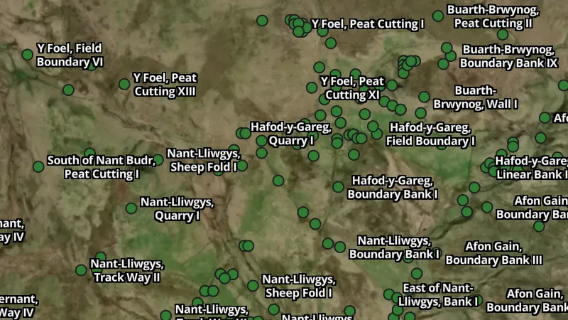
GB1900 Historic Place Names

7
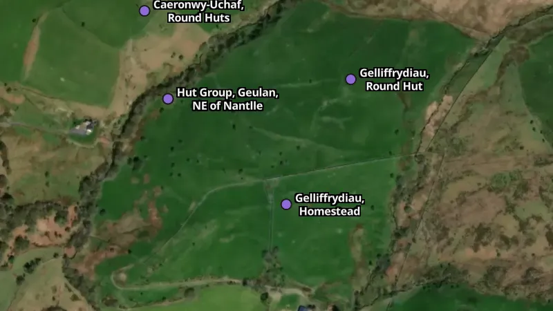
  • Historic in Wales, drawn over satellite imagery© Mapbox, © Maxar
    GB1900 Historic Place NamesExplorer

    Historic

    GB1900 records place names and map text transcribed from historic mapping around 1900.

    Also in 2 other nations in United Kingdom
    Read the write-up
    Historic in Wales, drawn over satellite imagery© Mapbox, © Maxar

    The layer drawn over satellite imagery. Satellite imagery © Mapbox, © Maxar.

    Explorer. Opens with Explorer. On the Free plan it works inside your one free area of 250 km².

    Open in the app

    This layer works the same way in 3 places in United Kingdom, so its full write-up, legend and plan are on one page.

    Read the full write-up

    Source in Wales

    Data © OpenStreetMap contributors, UK & Wales public datasets; styling © Detector Maps™

  • Mining in Wales, drawn over satellite imagery© Mapbox, © Maxar
    GB1900 Historic Place NamesExplorer

    Mining

    GB1900 records place names and map text transcribed from historic mapping around 1900.

    Also in 2 other nations in United Kingdom
    Read the write-up
    Mining in Wales, drawn over satellite imagery© Mapbox, © Maxar

    The layer drawn over satellite imagery. Satellite imagery © Mapbox, © Maxar.

    Explorer. Opens with Explorer. On the Free plan it works inside your one free area of 250 km².

    Open in the app

    This layer works the same way in 3 places in United Kingdom, so its full write-up, legend and plan are on one page.

    Read the full write-up

    Source in Wales

    Data © OpenStreetMap contributors, UK & Wales public datasets; styling © Detector Maps™

  • Settlements in Wales, drawn over satellite imagery© Mapbox, © Maxar
    GB1900 Historic Place NamesExplorer

    Settlements

    GB1900 records place names and map text transcribed from historic mapping around 1900.

    Also in 2 other nations in United Kingdom
    Read the write-up
    Settlements in Wales, drawn over satellite imagery© Mapbox, © Maxar

    The layer drawn over satellite imagery. Satellite imagery © Mapbox, © Maxar.

    Explorer. Opens with Explorer. On the Free plan it works inside your one free area of 250 km².

    Open in the app

    This layer works the same way in 3 places in United Kingdom, so its full write-up, legend and plan are on one page.

    Read the full write-up

    Source in Wales

    Data © OpenStreetMap contributors, UK & Wales public datasets; styling © Detector Maps™

  • Transport in Wales, drawn over satellite imagery© Mapbox, © Maxar
    GB1900 Historic Place NamesExplorer

    Transport

    GB1900 records place names and map text transcribed from historic mapping around 1900.

    Also in 2 other nations in United Kingdom
    Read the write-up
    Transport in Wales, drawn over satellite imagery© Mapbox, © Maxar

    The layer drawn over satellite imagery. Satellite imagery © Mapbox, © Maxar.

    Explorer. Opens with Explorer. On the Free plan it works inside your one free area of 250 km².

    Open in the app

    This layer works the same way in 3 places in United Kingdom, so its full write-up, legend and plan are on one page.

    Read the full write-up

    Source in Wales

    Data © OpenStreetMap contributors, UK & Wales public datasets; styling © Detector Maps™

  • Land & Natural in Wales, drawn over satellite imagery© Mapbox, © Maxar
    GB1900 Historic Place NamesExplorer

    Land & Natural

    GB1900 records place names and map text transcribed from historic mapping around 1900.

    Also in 2 other nations in United Kingdom
    Read the write-up
    Land & Natural in Wales, drawn over satellite imagery© Mapbox, © Maxar

    The layer drawn over satellite imagery. Satellite imagery © Mapbox, © Maxar.

    Explorer. Opens with Explorer. On the Free plan it works inside your one free area of 250 km².

    Open in the app

    This layer works the same way in 3 places in United Kingdom, so its full write-up, legend and plan are on one page.

    Read the full write-up

    Source in Wales

    Data © OpenStreetMap contributors, UK & Wales public datasets; styling © Detector Maps™

  • Water in Wales, drawn over satellite imagery© Mapbox, © Maxar
    GB1900 Historic Place NamesExplorer

    Water

    GB1900 records place names and map text transcribed from historic mapping around 1900.

    Also in 2 other nations in United Kingdom
    Read the write-up
    Water in Wales, drawn over satellite imagery© Mapbox, © Maxar

    The layer drawn over satellite imagery. Satellite imagery © Mapbox, © Maxar.

    Explorer. Opens with Explorer. On the Free plan it works inside your one free area of 250 km².

    Open in the app

    This layer works the same way in 3 places in United Kingdom, so its full write-up, legend and plan are on one page.

    Read the full write-up

    Source in Wales

    Data © OpenStreetMap contributors, UK & Wales public datasets; styling © Detector Maps™

  • Other in Wales, drawn over satellite imagery© Mapbox, © Maxar
    GB1900 Historic Place NamesExplorer

    Other

    GB1900 records place names and map text transcribed from historic mapping around 1900.

    Also in 2 other nations in United Kingdom
    Read the write-up
    Other in Wales, drawn over satellite imagery© Mapbox, © Maxar

    The layer drawn over satellite imagery. Satellite imagery © Mapbox, © Maxar.

    Explorer. Opens with Explorer. On the Free plan it works inside your one free area of 250 km².

    Open in the app

    This layer works the same way in 3 places in United Kingdom, so its full write-up, legend and plan are on one page.

    Read the full write-up

    Source in Wales

    Data © OpenStreetMap contributors, UK & Wales public datasets; styling © Detector Maps™

Coflein Historic Sites

4
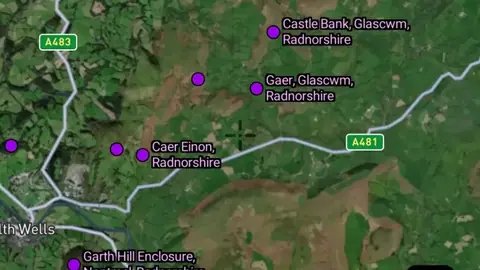
  • Roman in Wales, drawn over satellite imagery© Mapbox, © Maxar
    Coflein Historic SitesExplorer

    Roman

    Coflein records describe historic sites in Wales.

    Read the write-up
    Roman in Wales, drawn over satellite imagery© Mapbox, © Maxar

    The layer drawn over satellite imagery. Satellite imagery © Mapbox, © Maxar.

    Explorer. Opens with Explorer. On the Free plan it works inside your one free area of 250 km².

    Open in the app

    About this layer

    Coflein records describe historic sites in Wales. Use the selected period and the available record details to research the history of an area. A recorded location can be approximate or protected and does not give detecting permission.

    What it is for

    Read the available record and compare its date, description and location with other historical sources.

    Limits

    Record locations may be generalised or approximate. Historic interest does not establish permission to detect or disturb a site.

    Source

    Data © OpenStreetMap contributors, UK & Wales public datasets; styling © Detector Maps™

    Legend

    Coflein
    • Roman
    • Medieval
    • Iron Age
    • Bronze Age
  • Medieval in Wales, drawn over satellite imagery© Mapbox, © Maxar
    Coflein Historic SitesExplorer

    Medieval

    Coflein records describe historic sites in Wales.

    Read the write-up
    Medieval in Wales, drawn over satellite imagery© Mapbox, © Maxar

    The layer drawn over satellite imagery. Satellite imagery © Mapbox, © Maxar.

    Explorer. Opens with Explorer. On the Free plan it works inside your one free area of 250 km².

    Open in the app

    About this layer

    Coflein records describe historic sites in Wales. Use the selected period and the available record details to research the history of an area. A recorded location can be approximate or protected and does not give detecting permission.

    What it is for

    Read the available record and compare its date, description and location with other historical sources.

    Limits

    Record locations may be generalised or approximate. Historic interest does not establish permission to detect or disturb a site.

    Source

    Data © OpenStreetMap contributors, UK & Wales public datasets; styling © Detector Maps™

    Legend

    Coflein
    • Roman
    • Medieval
    • Iron Age
    • Bronze Age
  • Iron Age in Wales, drawn over satellite imagery© Mapbox, © Maxar
    Coflein Historic SitesExplorer

    Iron Age

    Coflein records describe historic sites in Wales.

    Read the write-up
    Iron Age in Wales, drawn over satellite imagery© Mapbox, © Maxar

    The layer drawn over satellite imagery. Satellite imagery © Mapbox, © Maxar.

    Explorer. Opens with Explorer. On the Free plan it works inside your one free area of 250 km².

    Open in the app

    About this layer

    Coflein records describe historic sites in Wales. Use the selected period and the available record details to research the history of an area. A recorded location can be approximate or protected and does not give detecting permission.

    What it is for

    Read the available record and compare its date, description and location with other historical sources.

    Limits

    Record locations may be generalised or approximate. Historic interest does not establish permission to detect or disturb a site.

    Source

    Data © OpenStreetMap contributors, UK & Wales public datasets; styling © Detector Maps™

    Legend

    Coflein
    • Roman
    • Medieval
    • Iron Age
    • Bronze Age
  • Bronze Age in Wales, drawn over satellite imagery© Mapbox, © Maxar
    Coflein Historic SitesExplorer

    Bronze Age

    Coflein records describe historic sites in Wales.

    Read the write-up
    Bronze Age in Wales, drawn over satellite imagery© Mapbox, © Maxar

    The layer drawn over satellite imagery. Satellite imagery © Mapbox, © Maxar.

    Explorer. Opens with Explorer. On the Free plan it works inside your one free area of 250 km².

    Open in the app

    About this layer

    Coflein records describe historic sites in Wales. Use the selected period and the available record details to research the history of an area. A recorded location can be approximate or protected and does not give detecting permission.

    What it is for

    Read the available record and compare its date, description and location with other historical sources.

    Limits

    Record locations may be generalised or approximate. Historic interest does not establish permission to detect or disturb a site.

    Source

    Data © OpenStreetMap contributors, UK & Wales public datasets; styling © Detector Maps™

    Legend

    Coflein
    • Roman
    • Medieval
    • Iron Age
    • Bronze Age

Archaeological Data

3
  • Ancient Places in the Detector Maps app, Wales© Mapbox, © Maxar
    Archaeological DataExplorer

    Ancient Places

    Ancient-place records help you research where earlier settlements or other sites were recorded.

    Also in 2 other nations in United Kingdom
    Read the write-up
    Ancient Places in the Detector Maps app, Wales© Mapbox, © Maxar

    A screen from the Detector Maps app. Satellite imagery © Mapbox, © Maxar.

    Explorer. Opens with Explorer. On the Free plan it works inside your one free area of 250 km².

    Open in the app

    This layer works the same way in 3 places in United Kingdom, so its full write-up, legend and plan are on one page.

    Read the full write-up

    Source in Wales

    Data © OpenStreetMap contributors, UK & Wales public datasets; styling © Detector Maps™

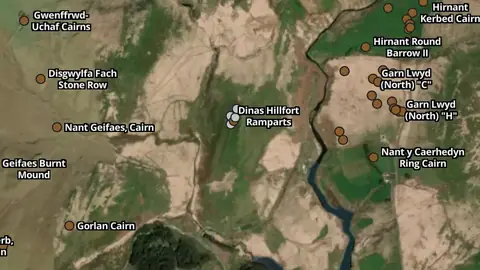
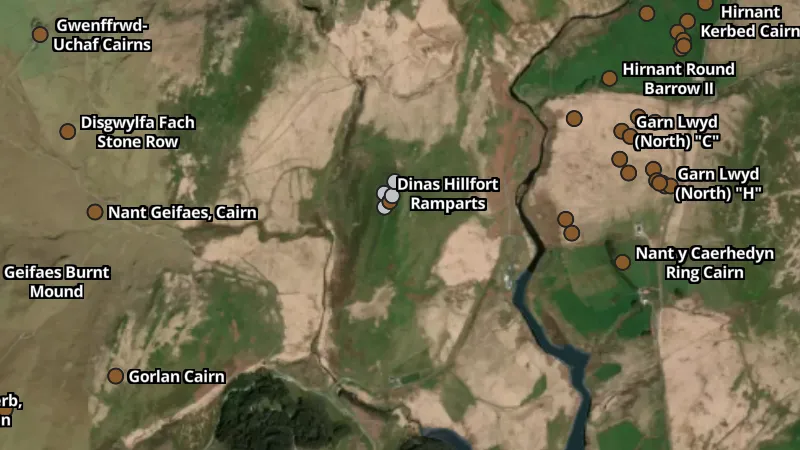
  • Hillforts in the Detector Maps app, Wales© Mapbox, © Maxar
    Archaeological DataExplorer

    Hillforts

    Hillfort records identify sites associated with enclosed or defended hilltop settlement.

    Read the write-up
    Hillforts in the Detector Maps app, Wales© Mapbox, © Maxar

    A screen from the Detector Maps app. Satellite imagery © Mapbox, © Maxar.

    Explorer. Opens with Explorer. On the Free plan it works inside your one free area of 250 km².

    Open in the app

    About this layer

    Hillfort records identify sites associated with enclosed or defended hilltop settlement. Use them to understand the history of the surrounding landscape. Many such sites have protections, so a marker is for research rather than an invitation to detect.

    What it is for

    Read the available record and compare its date, description and location with other historical sources.

    Limits

    Record locations may be generalised or approximate. Historic interest does not establish permission to detect or disturb a site.

    Source

    Data © OpenStreetMap contributors, UK & Wales public datasets; styling © Detector Maps™

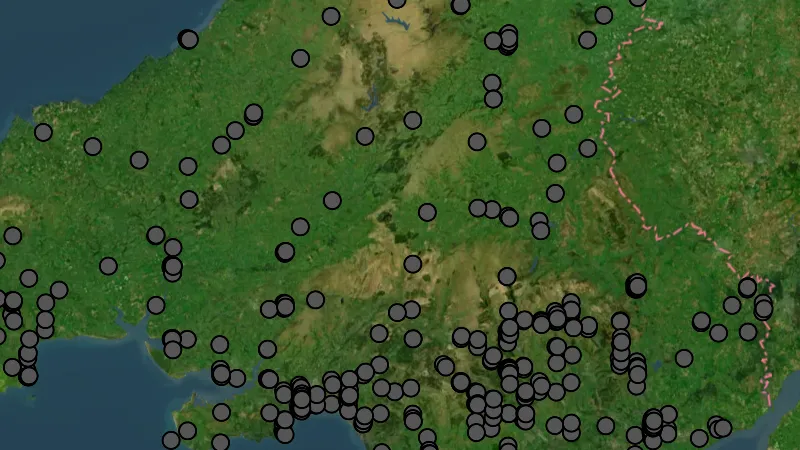
  • Roman Roads in the Detector Maps app, Wales© Mapbox, © Maxar
    Archaeological DataExplorer

    Roman Roads

    Roman road layers show recorded or reconstructed routes associated with Roman travel.
    Also in 2 other nations in United Kingdom
    Read the write-up
    Roman Roads in the Detector Maps app, Wales© Mapbox, © Maxar

    A screen from the Detector Maps app. Satellite imagery © Mapbox, © Maxar.

    Explorer. Opens with Explorer. On the Free plan it works inside your one free area of 250 km².

    Open in the app

    This layer works the same way in 3 places in United Kingdom, so its full write-up, legend and plan are on one page.

    Read the full write-up

    Source in Wales

    Data © OpenStreetMap contributors, UK & Wales public datasets; styling © Detector Maps™

Land Use & No Access Zones

2
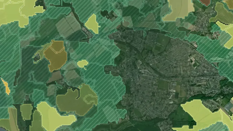
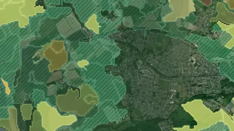
  • Ancient Woodlands in Wales, drawn over satellite imagery© Mapbox, © Maxar
    Land Use & No Access ZonesExplorer

    Ancient Woodlands

    Ancient woodland records map areas recognised as long-established woodland.

    Read the write-up
    Ancient Woodlands in Wales, drawn over satellite imagery© Mapbox, © Maxar

    The layer drawn over satellite imagery. Satellite imagery © Mapbox, © Maxar.

    Explorer. Opens with Explorer. On the Free plan it works inside your one free area of 250 km².

    Open in the app

    About this layer

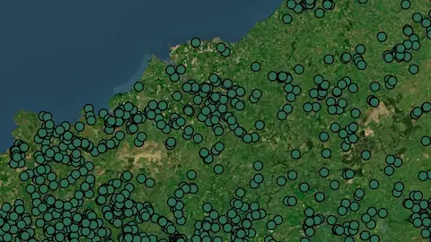
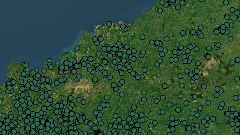
    Ancient woodland records map areas recognised as long-established woodland. They help you understand landscape history and conservation constraints. They do not identify public access or permission to detect.

    What it is for

    Turn on the relevant layers together and read their legends and notes. Check current conditions with the land manager before planning a visit.
    Limits

    An unshaded area is not automatically available for detecting. Different permissions and restrictions can overlap.

    Source

    Data © OpenStreetMap contributors, UK & Wales public datasets; styling © Detector Maps™

    Legend

    Land Use & Access
    • Schedule Monuments
    • SSSI
    • Historic Land
    • Property Boundaries
  • Wales Restricted Zones in the Detector Maps app, Wales© Mapbox, © Maxar
    Land Use & No Access ZonesExplorer

    Wales Restricted Zones

    Protected-area layers identify land with conservation, heritage or other special designations.

    Read the write-up
    Wales Restricted Zones in the Detector Maps app, Wales© Mapbox, © Maxar

    A screen from the Detector Maps app. Satellite imagery © Mapbox, © Maxar.

    Explorer. Opens with Explorer. On the Free plan it works inside your one free area of 250 km².

    Open in the app

    About this layer

    Protected-area layers identify land with conservation, heritage or other special designations. Compare overlapping boundaries and inspect the selected designation. The map does not replace current guidance from the responsible manager.

    What it is for

    Turn on the relevant layers together and read their legends and notes. Check current conditions with the land manager before planning a visit.

    Limits

    An unshaded area is not automatically available for detecting. Different permissions and restrictions can overlap.

    Source

    Data © OpenStreetMap contributors, UK & Wales public datasets; styling © Detector Maps™

    Legend

    Land Use & Access
    • Schedule Monuments
    • SSSI
    • Historic Land
    • Property Boundaries

Property Boundaries

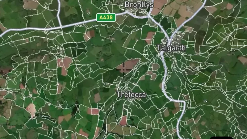
1
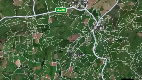
  • Property Boundaries in the Detector Maps app, Wales© Mapbox, © Maxar
    Property BoundariesExplorer

    Property Boundaries

    Property boundaries show how the land is divided into parcels.

    Also in 2 other nations in United Kingdom
    Read the write-up
    Property Boundaries in the Detector Maps app, Wales© Mapbox, © Maxar

    A screen from the Detector Maps app. Satellite imagery © Mapbox, © Maxar.

    Explorer. Opens with Explorer. On the Free plan it works inside your one free area of 250 km².

    Open in the app

    This layer works the same way in 3 places in United Kingdom, so its full write-up, legend and plan are on one page.

    Read the full write-up

    Source in Wales

    Data © OpenStreetMap contributors, UK & Wales public datasets; styling © Detector Maps™

Field Conditions

1
  • Field Conditions (weekly) in Wales, drawn over satellite imagery© Mapbox, © Maxar
    Field ConditionsExplorer

    Field Conditions (weekly)

    Which fields are freshly turned, bare, in stubble or green this week, read from satellite.

    Also in 2 other nations in United Kingdom
    Read the write-up
    Field Conditions (weekly) in Wales, drawn over satellite imagery© Mapbox, © Maxar

    Drawn with the app's own Field Conditions style over the live weekly tiles. Satellite imagery © Mapbox, © Maxar.

    Explorer. Opens with Explorer. On the Free plan it works inside your one free area of 250 km².

    Open in the app

    This layer works the same way in 3 places in United Kingdom, so its full write-up, legend and plan are on one page.

    Read the full write-up

    Source in Wales

    Contains modified Copernicus Sentinel data Sentinel-2

    Draws from zoom 6.

Watercourses

1
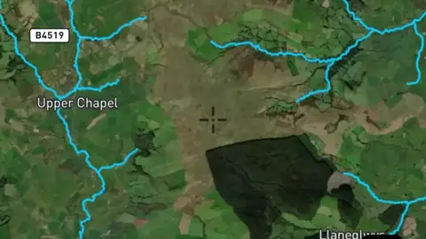
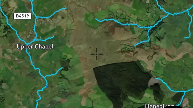
  • Watercourses in the Detector Maps app, Wales© Mapbox, © Maxar
    WatercoursesExplorer

    Watercourses

    Waterways show the mapped routes of rivers, creeks and drainage lines.

    Also in 2 other nations in United Kingdom
    Read the write-up
    Watercourses in the Detector Maps app, Wales© Mapbox, © Maxar

    A screen from the Detector Maps app. Satellite imagery © Mapbox, © Maxar.

    Explorer. Opens with Explorer. On the Free plan it works inside your one free area of 250 km².

    Open in the app

    This layer works the same way in 3 places in United Kingdom, so its full write-up, legend and plan are on one page.

    Read the full write-up

    Source in Wales

    Data © OpenStreetMap contributors, UK & Wales public datasets; styling © Detector Maps™

Old Maps

4
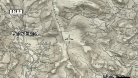
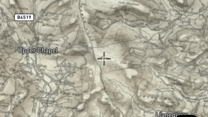
  • OS One-Inch 'Hills' 1885-1903 (1:63,360) in the Detector Maps app, Wales© Mapbox, © Maxar
    Old MapsExplorer

    OS One-Inch 'Hills' 1885-1903 (1:63,360)

    Historical maps show how an area was recorded in an earlier period.

    Also in 2 other nations in United Kingdom
    Read the write-up
    OS One-Inch 'Hills' 1885-1903 (1:63,360) in the Detector Maps app, Wales© Mapbox, © Maxar

    A screen from the Detector Maps app. Satellite imagery © Mapbox, © Maxar.

    Explorer. Opens with Explorer. On the Free plan it works inside your one free area of 250 km².

    Open in the app

    This layer works the same way in 3 places in United Kingdom, so its full write-up, legend and plan are on one page.

    Read the full write-up

    Source in Wales

    Data © OpenStreetMap contributors, UK & Wales public datasets; styling © Detector Maps™

  • OS Historical 1919-1947 in the Detector Maps app, Wales© Mapbox, © Maxar
    Old MapsExplorer

    OS Historical 1919-1947

    Historical maps show how an area was recorded in an earlier period.

    Also in 2 other nations in United Kingdom
    Read the write-up
    OS Historical 1919-1947 in the Detector Maps app, Wales© Mapbox, © Maxar

    A screen from the Detector Maps app. Satellite imagery © Mapbox, © Maxar.

    Explorer. Opens with Explorer. On the Free plan it works inside your one free area of 250 km².

    Open in the app

    This layer works the same way in 3 places in United Kingdom, so its full write-up, legend and plan are on one page.

    Read the full write-up

    Source in Wales

    Data © OpenStreetMap contributors, UK & Wales public datasets; styling © Detector Maps™

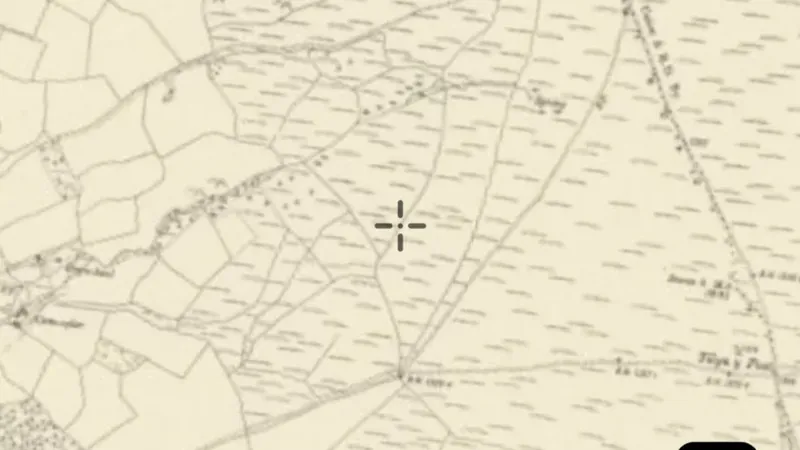
  • UK Ordnance Survey OSGB 1:10k (circa 1888) in the Detector Maps app, Wales© Mapbox, © Maxar
    Old MapsExplorer

    UK Ordnance Survey OSGB 1:10k (circa 1888)

    Historical maps show how an area was recorded in an earlier period.

    Also in 2 other nations in United Kingdom
    Read the write-up
    UK Ordnance Survey OSGB 1:10k (circa 1888) in the Detector Maps app, Wales© Mapbox, © Maxar

    A screen from the Detector Maps app. Satellite imagery © Mapbox, © Maxar.

    Explorer. Opens with Explorer. On the Free plan it works inside your one free area of 250 km².

    Open in the app

    This layer works the same way in 3 places in United Kingdom, so its full write-up, legend and plan are on one page.

    Read the full write-up

    Source in Wales

    Data © OpenStreetMap contributors, UK & Wales public datasets; styling © Detector Maps™

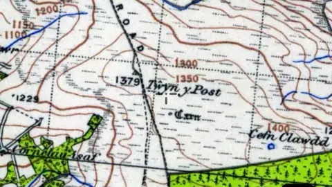
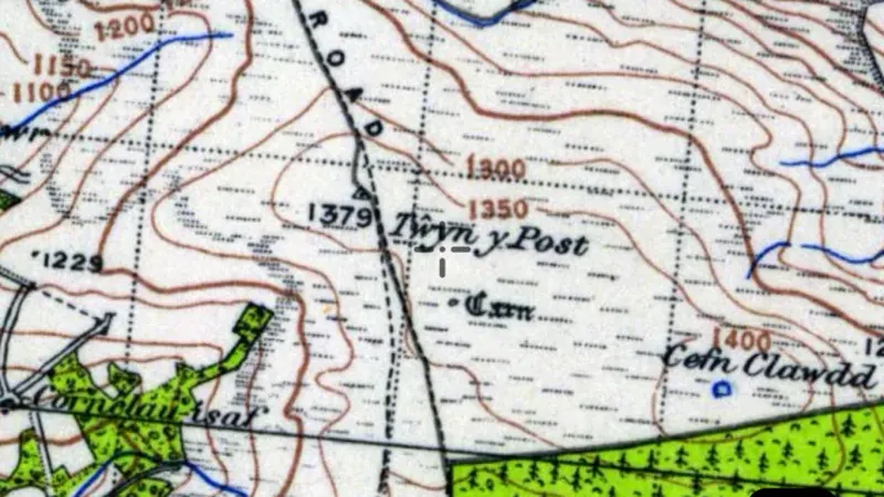
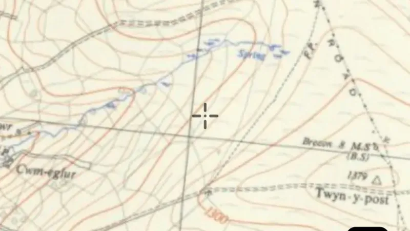
  • UK Ordnance Survey OSGB 1:25k (circa 1937) in the Detector Maps app, Wales© Mapbox, © Maxar
    Old MapsExplorer

    UK Ordnance Survey OSGB 1:25k (circa 1937)

    Historical maps show how an area was recorded in an earlier period.

    Also in 2 other nations in United Kingdom
    Read the write-up
    UK Ordnance Survey OSGB 1:25k (circa 1937) in the Detector Maps app, Wales© Mapbox, © Maxar

    A screen from the Detector Maps app. Satellite imagery © Mapbox, © Maxar.

    Explorer. Opens with Explorer. On the Free plan it works inside your one free area of 250 km².

    Open in the app

    This layer works the same way in 3 places in United Kingdom, so its full write-up, legend and plan are on one page.

    Read the full write-up

    Source in Wales

    Data © OpenStreetMap contributors, UK & Wales public datasets; styling © Detector Maps™

Terrain+™ LiDAR

2
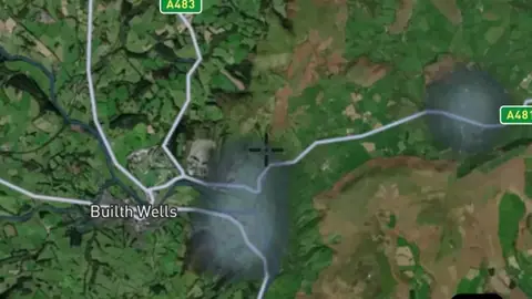
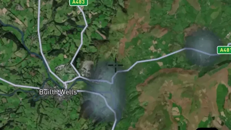
  • Terrain+™ Analysis in Wales, drawn over satellite imagery© Mapbox, © Maxar
    Terrain+™ LiDARExplorerNext update

    Terrain+™ Analysis

    Outline an area of any shape up to 3 miles across over Wales's 1 m LiDAR and see the ground full screen as a 3D surface, with a VE slider to raise or flatten it. Any layer can be draped over it. It shows Dynamic LiDAR™, turned on as it is built, and its LiDAR button sets Dynamic LiDAR™'s look on the model and the map alike: hillshade, slope, local relief, sky view and openness, multi-scale relief, VAT, red relief, Multi-Light PCA or the SVF/LRM Composite, each with settings to bring out the features you are after. Save a model with the button beside the X to keep it on the phone for 30 days and open it from the Terrain+™ LiDAR menu in the field, without a connection.

    Also in 2 other nations in United Kingdom
    Read the write-up
    Terrain+™ Analysis in Wales, drawn over satellite imagery© Mapbox, © Maxar

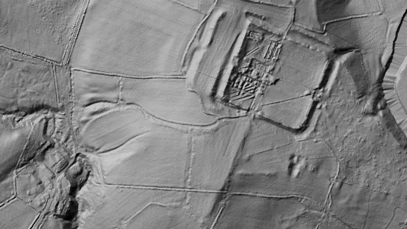
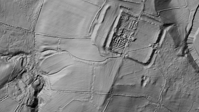
    Terrain+ builds a 3D model of an outlined area and shows Dynamic LiDAR on it. This is that Dynamic LiDAR look (Castell Collen Roman fort, Wales), not a 3D screenshot. Satellite imagery © Mapbox, © Maxar.

    Explorer. Opens with Explorer. Arrives in the next app update.

    Open in the app

    This layer works the same way in 3 places in United Kingdom, so its full write-up, legend and plan are on one page.

    Read the full write-up

    Source in Wales

    Data © OpenStreetMap contributors, UK & Wales public datasets; styling © Detector Maps™

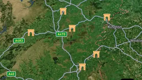
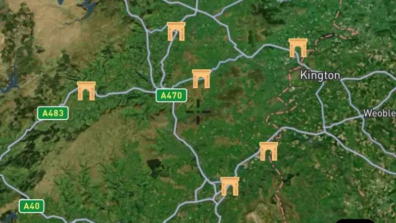
  • Dynamic LiDAR™ in Wales, drawn over satellite imagery© Mapbox, © Maxar
    Terrain+™ LiDARExplorerNext update

    Dynamic LiDAR™

    Dynamic LiDAR™ draws Wales's 1 m LiDAR over the map on the phone as you move, in any of Terrain+™'s relief renderings (hillshade, slope, local relief, sky view and openness, multi-scale relief, VAT and red relief), Multi-Light PCA or the SVF/LRM Composite.

    Also in 2 other nations in United Kingdom
    Read the write-up
    Dynamic LiDAR™ in Wales, drawn over satellite imagery© Mapbox, © Maxar

    Drawn by the app's own engine from the live survey files at Castell Collen Roman fort, Wales. Satellite imagery © Mapbox, © Maxar.

    Explorer. Opens with Explorer. Arrives in the next app update.

    Open in the app

    This layer works the same way in 3 places in United Kingdom, so its full write-up, legend and plan are on one page.

    Read the full write-up

    Source in Wales

    Data © OpenStreetMap contributors, UK & Wales public datasets; styling © Detector Maps™

    Draws from zoom 6.

Sources

Where the data comes from.

Every card names its source. The sources named on this page are:

  • Data © OpenStreetMap contributors, UK & Wales public datasets; styling © Detector Maps™
  • Contains modified Copernicus Sentinel data Sentinel-2

Satellite imagery © Mapbox, © Maxar. Layer data from the sources named on each card.

Plans

What the pills mean.

Every layer shows the plan that opens it. The free plan never runs out. Prices are shown once, here.

Free

Open on every plan, forever. Includes recorded finds and old maps where the place has them.

Explorer

Opens every base layer, and offline maps for the areas you choose. £50 a year or £10 a month, including 20% VAT.

Add-on

A layer sold on its own: the Dynamic NDVI add-on for England, +£50 a year.

7-day free trial on yearly plans · Nothing charged until it ends · Cancel anytime.

The UK has Free and Explorer. There is no Pro plan.

Satellite imagery © Mapbox, © Maxar. Layer data from the sources named on each card.

Get Detector Maps

Plan the next trip tonight.

Free to download on iPhone and Android.

On iPhone? Get it on the App StoreOn Android? Get it on Google Play

Free to download on iPhone and Android.

7-day free trial on yearly plans · Nothing charged until it ends · Cancel anytime.

Scan with your phone camera to get the app
Start free trialOpen the web map

On your phone: App Store · Google Play

7-day free trial on yearly plans · Nothing charged until it ends · Cancel anytime.

Or open the web map

The Detector Maps support inbox is staffed by Matt and Tom, the two brothers who built it. Contact us

Scan with your phone camera to get the app