OS Historical 1919-1947
Historical maps show how an area was recorded in an earlier period.
On iPhone? Get it on the App StoreOn Android? Get it on Google Play
Free to download on iPhone and Android.
7-day free trial on yearly plans · Nothing charged until it ends · Cancel anytime.
On your phone: App Store · Google Play
7-day free trial on yearly plans · Nothing charged until it ends · Cancel anytime.
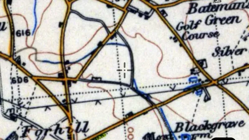 © Mapbox, © Maxar
Satellite imagery © Mapbox, © Maxar. Layer data from the sources named on each card.
About this layer
Historical maps show how an area was recorded in an earlier period. Compare old roads, buildings, boundaries and workings with the modern basemap. Scans can be misaligned, and features may have moved or disappeared.
What it is for
Compare the old map with the modern basemap using opacity. Check the selected map or era before interpreting a feature.
Limits
Old maps can be stretched, incomplete or offset from modern coordinates. Treat locations as clues rather than exact positions.
Drawn in each nation.
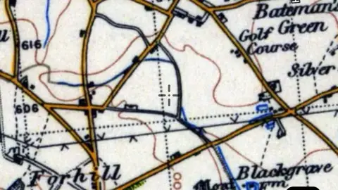 © Mapbox, © MaxarEngland Explorer
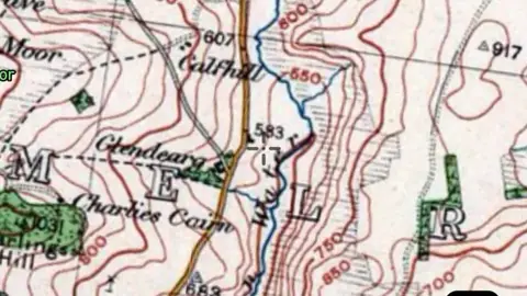 © Mapbox, © MaxarScotland Explorer
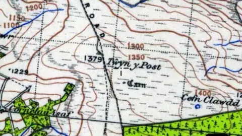 © Mapbox, © MaxarWales Explorer
Satellite imagery © Mapbox, © Maxar. Layer data from the sources named on each card.
Where the data comes from.
Data © OpenStreetMap contributors, UK public datasets; styling © Detector Maps™
Data © OpenStreetMap contributors, UK & Scotland public datasets; styling © Detector Maps™
Data © OpenStreetMap contributors, UK & Wales public datasets; styling © Detector Maps™
What the pills mean.
Every layer shows the plan that opens it. The free plan never runs out. Prices are shown once, here.
Open on every plan, forever. Includes recorded finds and old maps where the place has them.
Opens every base layer, and offline maps for the areas you choose. £50 a year or £10 a month, including 20% VAT.
A layer sold on its own: the Dynamic NDVI add-on for England, +£50 a year.
7-day free trial on yearly plans · Nothing charged until it ends · Cancel anytime.
The UK has Free and Explorer. There is no Pro plan.
Satellite imagery © Mapbox, © Maxar. Layer data from the sources named on each card.
Plan the next trip tonight.
Free to download on iPhone and Android.
On iPhone? Get it on the App StoreOn Android? Get it on Google Play
Free to download on iPhone and Android.
7-day free trial on yearly plans · Nothing charged until it ends · Cancel anytime.
On your phone: App Store · Google Play
7-day free trial on yearly plans · Nothing charged until it ends · Cancel anytime.
The Detector Maps support inbox is staffed by Matt and Tom, the two brothers who built it. Contact us