Field Conditions (weekly)
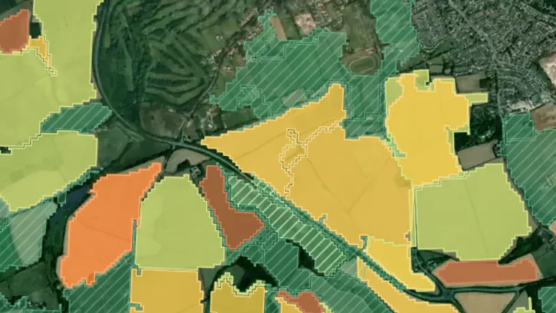
Which fields are freshly turned, bare, in stubble or green this week, read from satellite.
On iPhone? Get it on the App StoreOn Android? Get it on Google Play
Free to download on iPhone and Android.
7-day free trial on yearly plans · Nothing charged until it ends · Cancel anytime.
On your phone: App Store · Google Play
7-day free trial on yearly plans · Nothing charged until it ends · Cancel anytime.
 © Mapbox, © Maxar
Satellite imagery © Mapbox, © Maxar. Layer data from the sources named on each card.
About this layer
Every farm field in England, Scotland and Wales, coloured by what the European Space Agency’s Sentinel-2 satellites saw on it. They pass over every two to five days; a field is read whenever at least 60% of it is clear of cloud, and the map is rebuilt each week. Bare earth shows no straw from above, so it reads as freshly turned or bare soil. Stubble keeps a straw signal after harvest. Green that comes through stubble can be regrowth, a cover crop or a crop drilled straight in, so check it first. Green after bare soil is a new crop coming up. Use the week strip on the filter card to step back through the season, and tap a field for when it was turned, its last clear look and every reading since August. It shows the ground, not permission to detect: ask the landowner first.
What it is for
Pick a week on the filter card, look for freshly turned and bare fields near you, and tap a field for when it was turned and its last clear look. Ask the landowner before you go on.
Limits
Cloud can hide a field for weeks, so check its last clear look. Freshly drilled ground looks bare until the crop comes up, and the map is not permission to detect.
Drawn in each nation.
 © Mapbox, © MaxarEngland Explorer
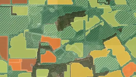 © Mapbox, © MaxarScotland Explorer
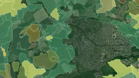 © Mapbox, © MaxarWales Explorer
Satellite imagery © Mapbox, © Maxar. Layer data from the sources named on each card.
Where the data comes from.
Contains modified Copernicus Sentinel data Sentinel-2
How it is drawn.
- Freshly turned
- Bare soil
- Stubble
- Stubble greening
- New crop up
- Crop or grass
Draws from zoom 6.
What the pills mean.
Every layer shows the plan that opens it. The free plan never runs out. Prices are shown once, here.
Open on every plan, forever. Includes recorded finds and old maps where the place has them.
Opens every base layer, and offline maps for the areas you choose. £50 a year or £10 a month, including 20% VAT.
A layer sold on its own: the Dynamic NDVI add-on for England, +£50 a year.
7-day free trial on yearly plans · Nothing charged until it ends · Cancel anytime.
The UK has Free and Explorer. There is no Pro plan.
Satellite imagery © Mapbox, © Maxar. Layer data from the sources named on each card.
Plan the next trip tonight.
Free to download on iPhone and Android.
On iPhone? Get it on the App StoreOn Android? Get it on Google Play
Free to download on iPhone and Android.
7-day free trial on yearly plans · Nothing charged until it ends · Cancel anytime.
On your phone: App Store · Google Play
7-day free trial on yearly plans · Nothing charged until it ends · Cancel anytime.
The Detector Maps support inbox is staffed by Matt and Tom, the two brothers who built it. Contact us