Does it work with no signal?
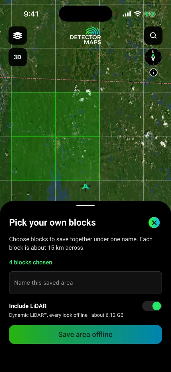
Yes, for the areas you save. Download them on Wi-Fi before you go, with your layers. Your phone’s GPS works without reception, so the map, your records and your waypoints keep working. Saving new areas needs Explorer. Your one free area is saved offline on the Free plan.
Can I use it on my computer?
Yes. Open app.detectormaps.com in your browser and sign in with the same account. The full desktop web app comes with Pro. The web map needs a connection, so save areas in the phone app for places with no signal.
What does it cost, and how does the trial work?
Free is free forever. Explorer is $59.99 a year or $7.99 a month. Pro is $99.99 a year or $11.99 a month. Yearly plans start with a 7-day free trial. A card is taken up front, but nothing is charged until the trial ends. Cancel before then and you pay nothing. Notifications on? We remind you on day 5.
Is detecting legal where I want to go?
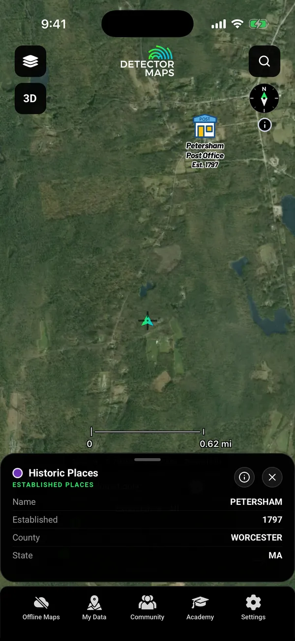
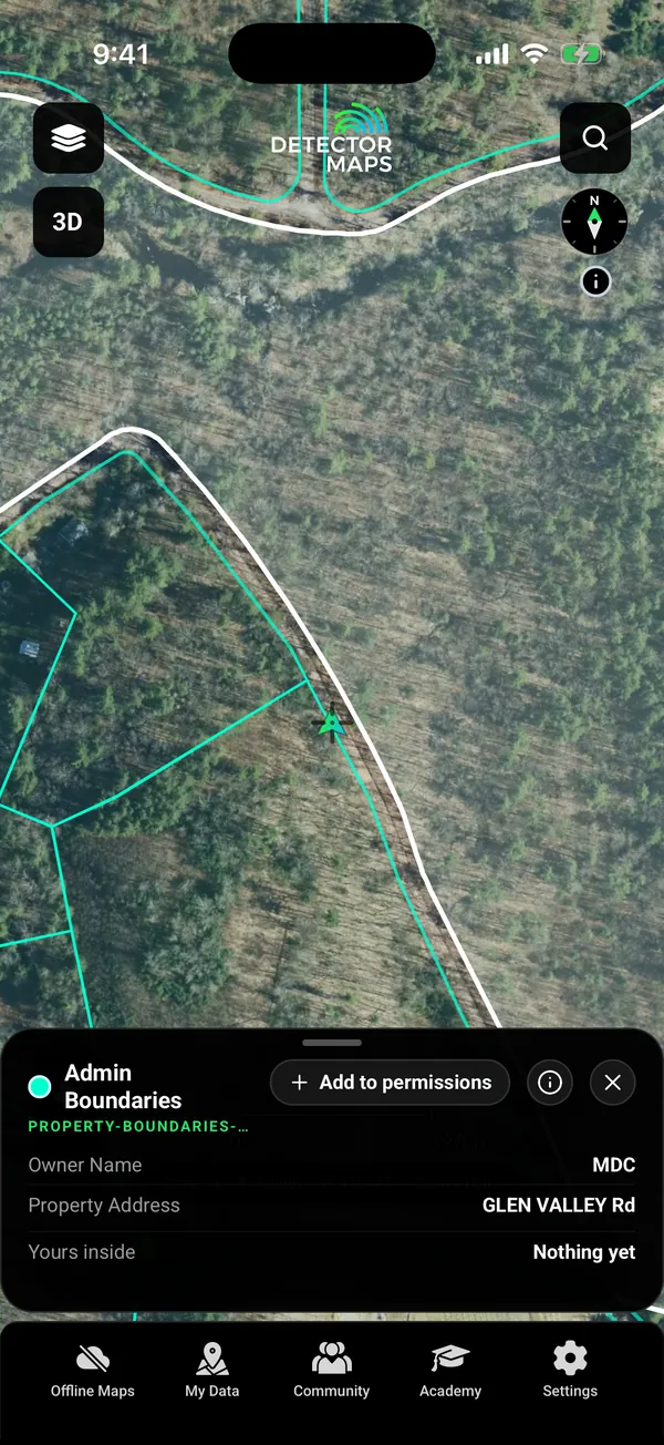
Laws vary by state, county and land manager. Permission is your responsibility. Property boundaries show who owns a parcel. Detector Maps never gives permission.
Can I detect on the battlefields shown in the app?
No. Battlefield layers are for reference only, and protected sites are off limits.
What is free?
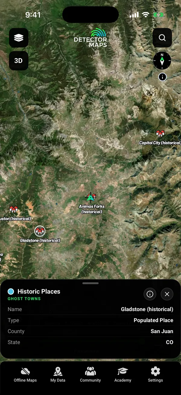
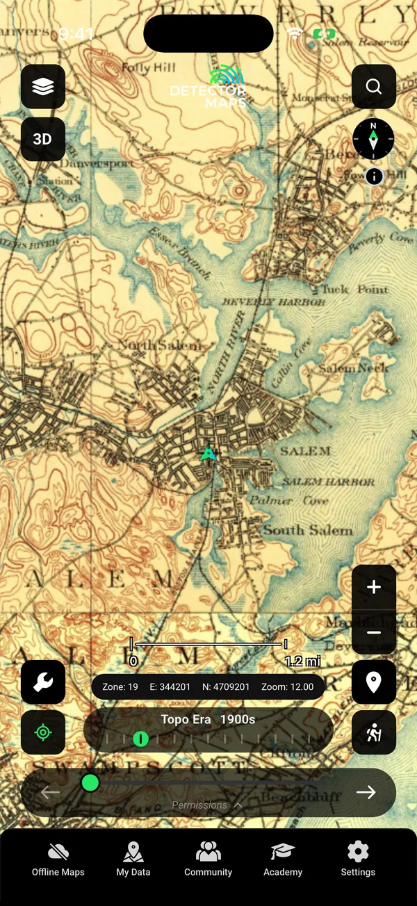
Ghost towns, old USGS topo maps by era, waypoints, Trails, backups and one free area of 250 km² (LiDAR not included).
Will the app tell me where to dig?
No. It gives you research: old towns, old maps, survey records and LiDAR. Where to dig, and whether you have permission, is your call.
What is Dynamic LiDAR, and who needs Pro?
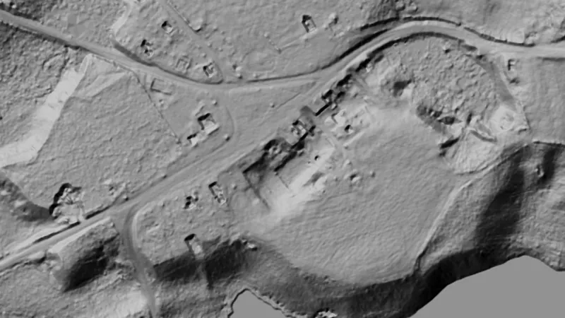
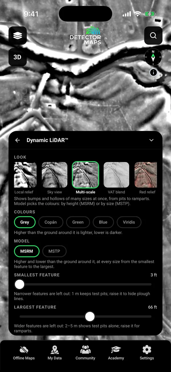
It draws USGS 1 m bare-earth LiDAR on your phone in nine looks. In the USA it is a Pro feature, and the map stays clear where the USGS has no 1 m lidar.