Detector Maps
Start free for 7 days on a yearly plan — nothing charged until the trial ends.
Open the mapAmerican Battlefield Protection Program study areas for three wars, nine national historic trails, and railroads dated by decade. Do the homework on the map before you ever knock on a door.
Start free trialStart free for 7 days on a yearly plan — nothing charged until the trial ends.
See ABPP study areas for the Civil War, Revolutionary War, and War of 1812 alongside nine National Historic Trails and historic railroads filtered by decade. The battlefield layers are reference-only — protected sites are strictly off-limits — but they show where armies marched, camped, and resupplied, and that movement spilled across the surrounding countryside. That wider landscape, researched properly and hunted with permission, is what this page is about.
American Battlefield Protection Program study areas map Civil War, Revolutionary War, and War of 1812 actions across the country — the whole ground the fighting ranged over, not just the monument at the center. Use them to understand the history around your permission, and to know exactly where not to swing.
Battlefield layers are for reference only — protected sites are off-limits. Always confirm land status and get permission before you detect.
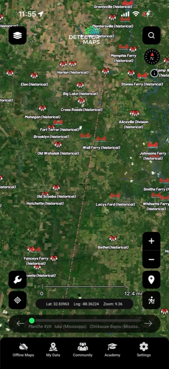
Revolutionary War and War of 1812 study areas put 250-year-old actions on a modern basemap — coastal raids and frontier fights included. Stack them against era-colored places and historic roads to read what that ground looked like at the time.
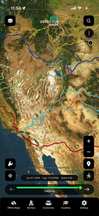
Nine NPS National Historic Trails — California, Oregon, Mormon Pioneer, Santa Fe, Old Spanish, Nez Perce, Butterfield Overland, Trail of Tears, and Lewis & Clark — run corridor by corridor across the map. Where the wagons rolled, camps, stations, and river crossings followed.
Historic railroads are dated by the decade they were built, so an 1850s main line reads differently than a 1920s spur. Match rail dates against era-colored towns to work out when the depots, sidings, and whistle-stops came and went.
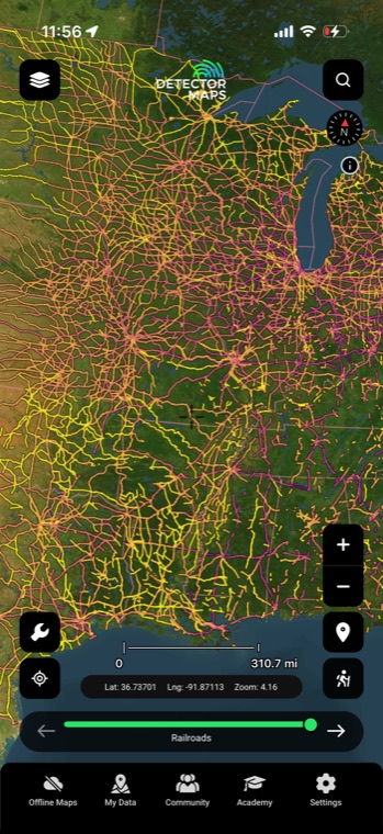
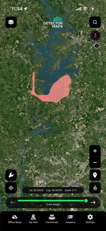
ABPP study areas capture the full sweep of a battle — approach marches, flanking routes, and camps that stretched well past today's fenced parkland. Overlay historic roads, tracks, and watercourses to work out where troops actually travelled through the countryside around the core.
From the Oregon and Santa Fe trails to the Trail of Tears and Butterfield Overland, these routes carried decades of wagons, campsites, and river crossings clear across the country. Trace one through your county and note where it passes land you could seek permission on.
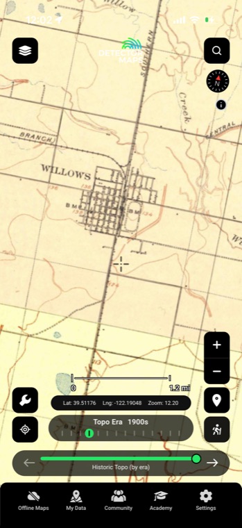
The railroad layer filters by decade, so you can tell whether a line was hauling passengers in the 1860s or wasn't laid until 1910. Pair it with the historic USGS topo era slider to watch depots, sidings, and whistle-stops appear and disappear.
Much of a study area is ordinary private farmland today, and that's where a polite knock matters. Pro's property boundaries show parcels and owner details from zoom 14+, so you know exactly whose door to knock on before you go.
Not on protected ones — national battlefield parks, state historic sites, and preserved ground are strictly off-limits, with serious federal and state penalties for digging there. The ABPP layers in Detector Maps are for reference and research only. Always confirm a property's status and get the landowner's permission before you swing anywhere near one.
It's a boundary drawn by American Battlefield Protection Program historians to capture the full extent of a battle — approaches, flanking movements, and camps — which is usually much larger than the preserved park inside it. The line marks where the history happened, not where detecting is allowed, and much of it is private land today.
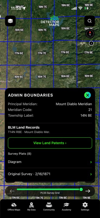
Start with ownership: the property boundaries layer (Pro) shows parcels and owner details at zoom 14 and up, and the protected areas and SMA layers flag public ground with restrictions. Private land always needs the owner's permission — get it in writing if you can. If you can't confirm the status, treat it as off-limits.
Constantly — the nine National Historic Trails and most abandoned rail corridors run across private farms and ranches for the bulk of their length. The line on the map is a research lead, not an access right, so the same rule applies: confirm who owns it and ask before you detect.
Historical map imagery courtesy of the David Rumsey Map Collection
Start free for 7 days on a yearly plan — nothing charged until the trial ends.
Prospect smarter, not harder. .
Trip reports, layer updates, the occasional gold-find email. No spam.
© 2026 Gold Discovery Solutions Pty Ltd