Contours
Elevation lines showing slope and shape.
On iPhone? Get it on the App StoreOn Android? Get it on Google Play
Free to download on iPhone and Android.
7-day free trial on yearly plans · Nothing charged until it ends · Cancel anytime.
On your phone: App Store · Google Play
7-day free trial on yearly plans · Nothing charged until it ends · Cancel anytime.
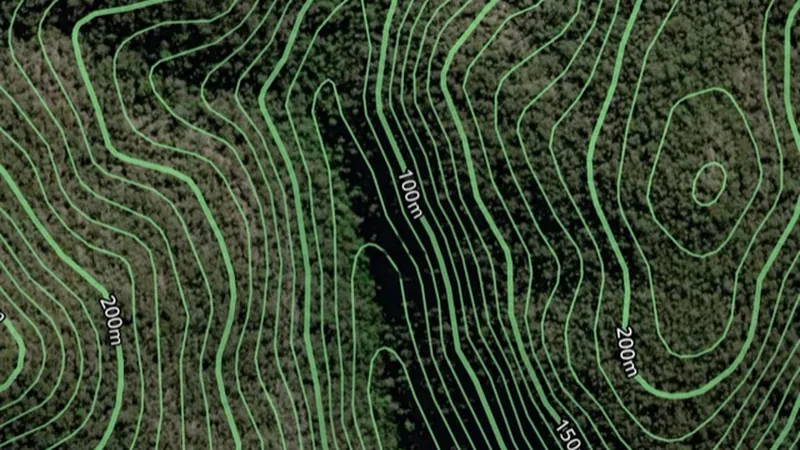 © Mapbox, © Maxar
Satellite imagery © Mapbox, © Maxar. Layer data from the sources named on each card.
About this layer
Contour lines join places at the same height. Closely spaced lines usually show steeper ground; wider gaps show gentler slopes. Use the height labels and nearby waterways to understand ridges, valleys and possible routes.
What it is for
Closely spaced lines indicate steeper ground. Use the labels and terrain together to understand ridges, slopes and valleys.
Limits
Contours simplify the terrain at their map scale. Small workings, obstacles and local hazards may not appear.
Where it works in Australia.
Drawn in each state.
 © Mapbox, © MaxarNew South Wales Explorer
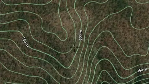 © Mapbox, © MaxarQueensland Explorer
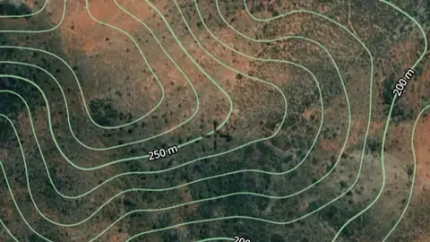 © Mapbox, © MaxarSouth Australia Explorer
Satellite imagery © Mapbox, © Maxar. Layer data from the sources named on each card.
Where the data comes from.
Data provided by The State of New South Wales (Geological Survey of NSW, GSNSW, Dept of Planning and Environment, Forestry Corporation of NSW, Spatial Services NSW, Department of Regional NSW), licensed under CC BY 4.0
Data provided by The State of Qld (Department of Natural Resources and Mines, Manufacturing and Regional and Rural Development 2025, Department of Resources 2024), licensed under CC BY 4.0
Data provided by the State of South Australia (The Department for Energy and Mining 2024, Department for Housing and Urban Development 2024, Deparment of Environment and Water 2024), licensed under CC BY 4.0
How it is drawn.
- Contours
What the pills mean.
Every layer shows the plan that opens it. The free plan never runs out. Prices are shown once, here.
Open on every plan, forever. Includes gold records.
Opens every base layer, and offline maps for the areas you choose. A$99 a year or A$9.99 a month.
Tenement alerts for a drawn area or a whole state. Report search across decades of exploration reports. A$249 a year or A$34.99 a month.
A layer sold on its own: the Victorian LiDAR add-on, A$39.99 a year.
7-day free trial on yearly plans · Nothing charged until it ends · Cancel anytime.
Satellite imagery © Mapbox, © Maxar. Layer data from the sources named on each card.
Plan the next trip tonight.
Free to download on iPhone and Android.
On iPhone? Get it on the App StoreOn Android? Get it on Google Play
Free to download on iPhone and Android.
7-day free trial on yearly plans · Nothing charged until it ends · Cancel anytime.
On your phone: App Store · Google Play
7-day free trial on yearly plans · Nothing charged until it ends · Cancel anytime.
The Detector Maps support inbox is staffed by Matt and Tom, the two brothers who built it. Contact us