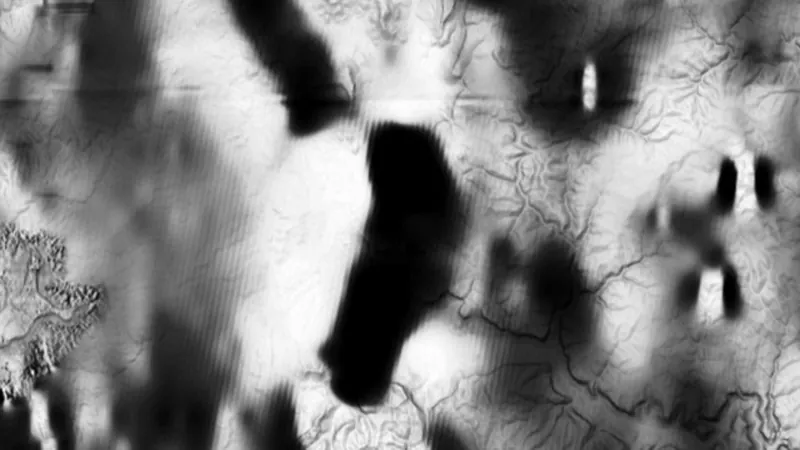
Total Magnetic Intensity (1VD)
First vertical derivative showing shallow magnetic edges and contacts.
On iPhone? Get it on the App StoreOn Android? Get it on Google Play
Free to download on iPhone and Android.
7-day free trial on yearly plans · Nothing charged until it ends · Cancel anytime.
On your phone: App Store · Google Play
7-day free trial on yearly plans · Nothing charged until it ends · Cancel anytime.
 © Mapbox, © Maxar
Satellite imagery © Mapbox, © Maxar. Layer data from the sources named on each card.
About this layer
This magnetic view emphasises changes and edges in the survey data. The abbreviation 1VD means first vertical derivative. Compare its sharper lines with the broader RTP image and geology, rather than treating every bright edge as a gold target.
What it is for
Compare broad patterns and boundaries with mapped geology. Check which magnetic processing option is selected.
Limits
Magnetic highs and lows do not directly measure gold. Survey processing can emphasise different parts of the same signal.
Where it works in Australia.
Drawn in each state.
 © Mapbox, © MaxarNew South Wales Explorer
 © Mapbox, © MaxarNorthern Territory Explorer
 © Mapbox, © MaxarVictoria Explorer
Satellite imagery © Mapbox, © Maxar. Layer data from the sources named on each card.
Where the data comes from.
Data provided by The State of New South Wales (Geological Survey of NSW, GSNSW, Dept of Planning and Environment, Forestry Corporation of NSW, Spatial Services NSW, Department of Regional NSW), licensed under CC BY 4.0
Data provided by Northern Territory of Australia (Northern Territory Geological Survey) 2025, licensed under CC BY 4.0
Data provided by State of Victoria (Geological Survey of Victoria 2024, Department of Energy Environment and Climate Action 2024, Department of Jobs Skills Industry and Regions 2024, Department of Transport and Planning - 1m DEM LiDAR Dataset), licensed under CC BY 4.0
What the pills mean.
Every layer shows the plan that opens it. The free plan never runs out. Prices are shown once, here.
Open on every plan, forever. Includes gold records.
Opens every base layer, and offline maps for the areas you choose. A$99 a year or A$9.99 a month.
Tenement alerts for a drawn area or a whole state. Report search across decades of exploration reports. A$249 a year or A$34.99 a month.
A layer sold on its own: the Victorian LiDAR add-on, A$39.99 a year.
7-day free trial on yearly plans · Nothing charged until it ends · Cancel anytime.
Satellite imagery © Mapbox, © Maxar. Layer data from the sources named on each card.
Plan the next trip tonight.
Free to download on iPhone and Android.
On iPhone? Get it on the App StoreOn Android? Get it on Google Play
Free to download on iPhone and Android.
7-day free trial on yearly plans · Nothing charged until it ends · Cancel anytime.
On your phone: App Store · Google Play
7-day free trial on yearly plans · Nothing charged until it ends · Cancel anytime.
The Detector Maps support inbox is staffed by Matt and Tom, the two brothers who built it. Contact us