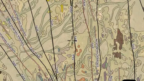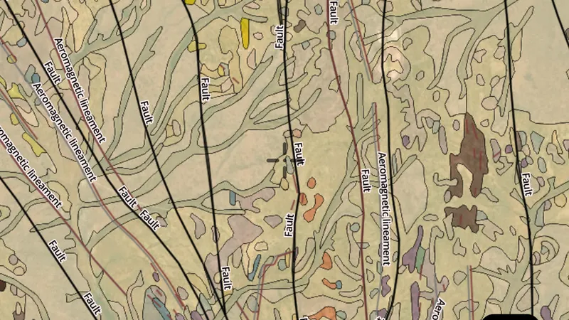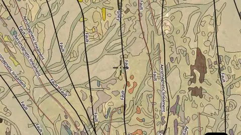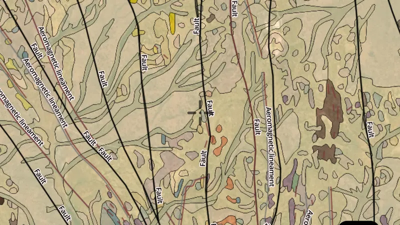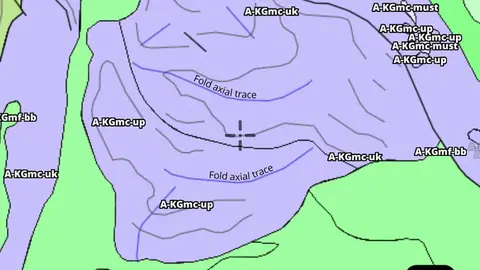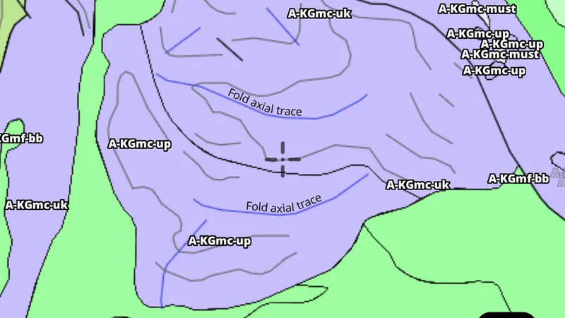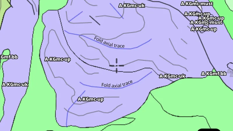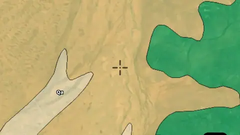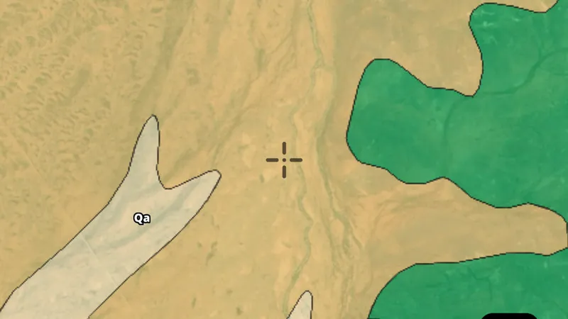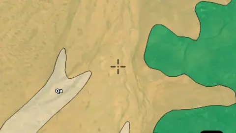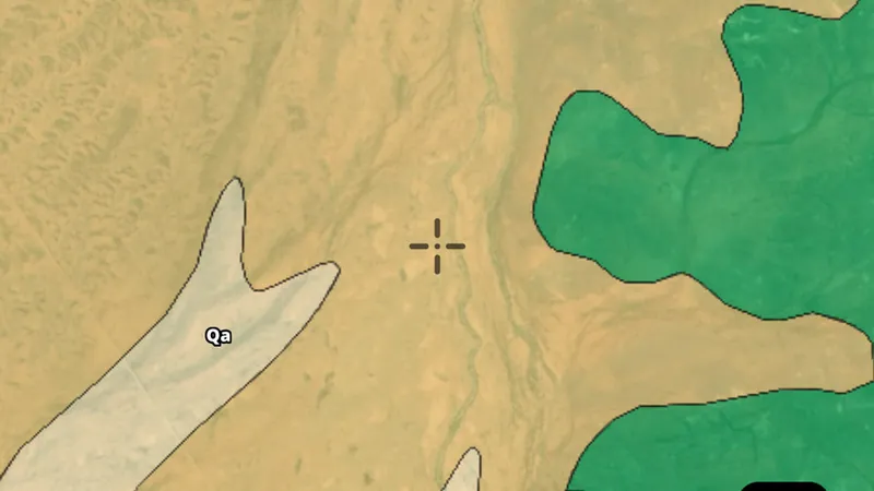
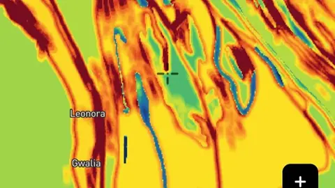
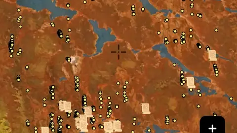
Map library · Australia

Western Australia map layers

46 layers for gold prospecting in Western Australia, in 16 categories. 3 are free on every plan: Gold Occurrences, Live Tenements (DMIRS-003) and Pending Tenements (DMIRS-003). 42 more open with Explorer. 1 needs Pro.

8 of these are also in other states in Australia. Each links to one page that lists them all.

46 layers16 categoriesFree 3Explorer 42Pro 1

Other states

On iPhone? Get it on the App StoreOn Android? Get it on Google Play

Free to download on iPhone and Android.

7-day free trial on yearly plans · Nothing charged until it ends · Cancel anytime.

Scan with your phone camera to get the app
Start free trialOpen the web map

On your phone: App Store · Google Play

7-day free trial on yearly plans · Nothing charged until it ends · Cancel anytime.

4.7 / 5 from 2,400+ ratings on the App Store and Google Play · 10,000+ prospectors and detectorists
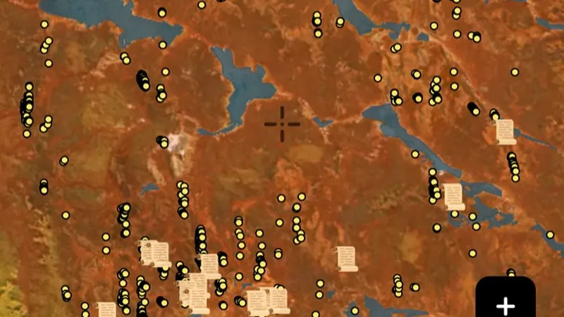
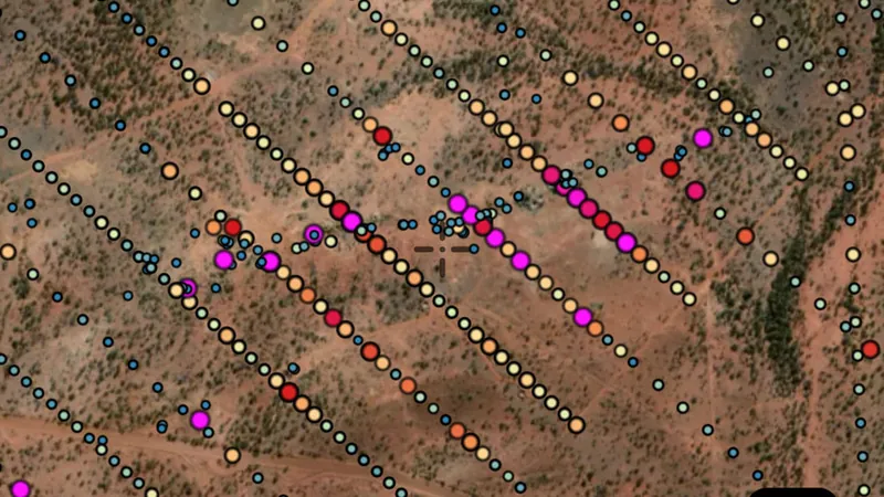
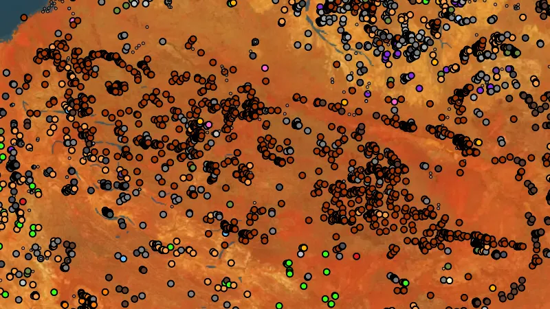
Gold Occurrences in the Detector Maps app, Western Australia© Mapbox, © Maxar

Satellite imagery © Mapbox, © Maxar. Layer data from the sources named on each card.

Satellite imagery © Mapbox, © Maxar. Layer data from the sources named on each card.

Historic Gold

3
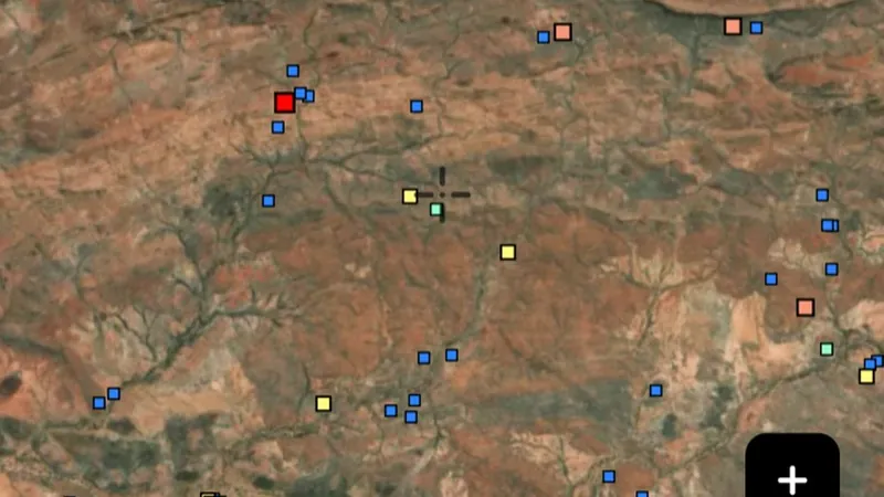
  • Gold Occurrences in the Detector Maps app, Western Australia© Mapbox, © Maxar
    Historic GoldFree

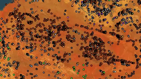
    Gold Occurrences

    Official records of past gold finds, old mines and workings. Use to choose a general search area before stacking other layers.

    Read the write-up
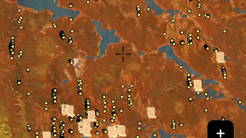
    Gold Occurrences in the Detector Maps app, Western Australia© Mapbox, © Maxar

    A screen from the Detector Maps app. Satellite imagery © Mapbox, © Maxar.

    Free. Opens on every plan, including Free.

    Open in the app

    About this layer

    Recorded gold finds and gold-bearing sites show where gold has been reported before. Compare nearby records with creeks, slopes and rock types to choose an area to research. A past find does not tell you how much gold remains.

    What it is for

    Compare nearby records with geology and terrain. Open available map details to see what was recorded at a location.

    Limits

    A record is a starting point for research. It does not show how much material remains, or whether you can access the land.

    Source

    This Data is licensed under a CC BY 4.0 International licence by the State of Western Australia (Department of Mines, Petroleum and Exploration) 2026 CC BY 4.0

    Legend

    Historic Gold
    • Abandoned Mines
    • Gold Occurrences
    • Historic References
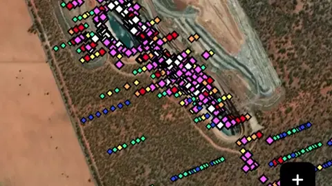
    Filters in the app

    Category filter
  • Historic Nuggets in the Detector Maps app, Western Australia© Mapbox, © Maxar
    Historic GoldExplorer

    Historic Nuggets

    Reported locations of larger nugget finds from historic references. Flags regions where nuggety gold has been recovered.

    Read the write-up
    Historic Nuggets in the Detector Maps app, Western Australia© Mapbox, © Maxar

    A screen from the Detector Maps app. Satellite imagery © Mapbox, © Maxar.

    Explorer. Opens with Explorer or Pro. On the Free plan it works inside your one free area of 250 km².

    Open in the app

    About this layer

    Historic nugget records show reported gold finds from the past. Use several nearby records to understand the wider goldfield, rather than treating one marker as an exact digging spot. Older locations can be approximate.

    What it is for

    Look for patterns across several records, then compare them with creeks, slopes and geology.

    Limits

    Historic locations can be approximate. Past finds do not guarantee gold remains or that it is within detector depth.

    Source

    This Data is licensed under a CC BY 4.0 International licence by the State of Western Australia (Department of Mines, Petroleum and Exploration) 2026 CC BY 4.0

    Legend

    Historic Gold
    • Abandoned Mines
    • Gold Occurrences
    • Historic References
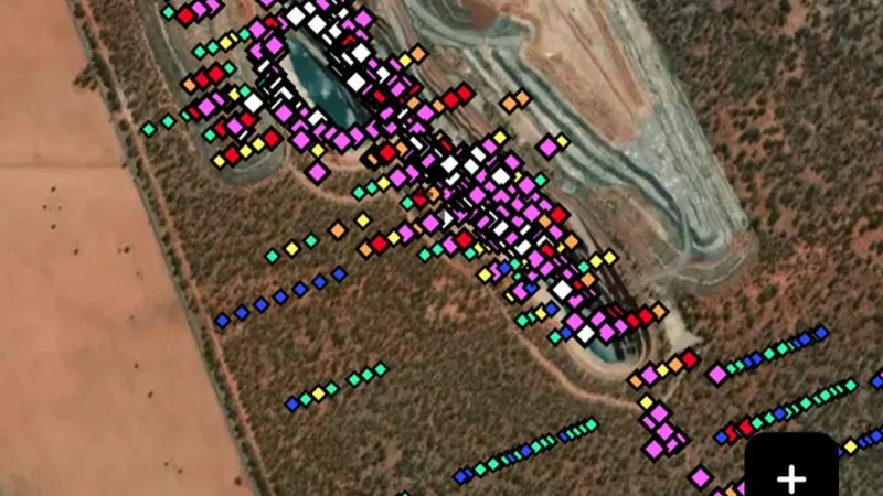
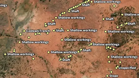
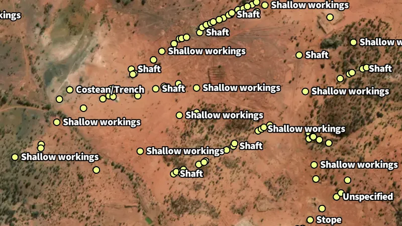
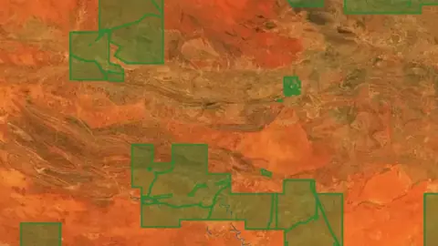
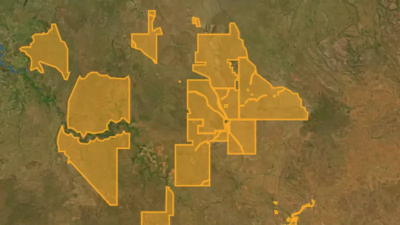
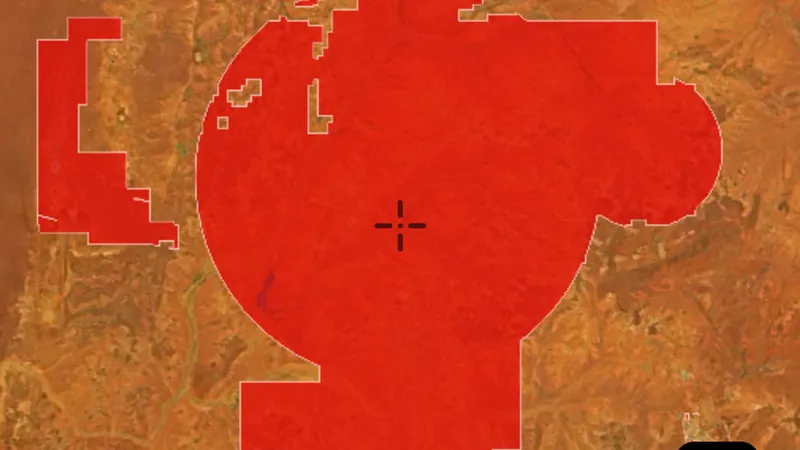
  • Abandoned Mines in Western Australia, drawn over satellite imagery© Mapbox, © Maxar
    Historic GoldExplorer

    Abandoned Mines

    Mine records show locations associated with mining.

    Read the write-up
    Abandoned Mines in Western Australia, drawn over satellite imagery© Mapbox, © Maxar

    The layer drawn over satellite imagery. Satellite imagery © Mapbox, © Maxar.

    Explorer. Opens with Explorer or Pro. On the Free plan it works inside your one free area of 250 km².

    Open in the app

    About this layer

    Mine records show locations associated with mining. They can help you understand what people worked and how activity followed the local geology. Research the surrounding area without entering shafts, tunnels or unstable workings.

    What it is for

    Use these records to research the history of an area and compare workings with the surrounding geology.

    Limits

    A mapped working is not a safe place to enter. Locations, conditions and access may differ from the record.

    Source

    This Data is licensed under a CC BY 4.0 International licence by the State of Western Australia (Department of Mines, Petroleum and Exploration) 2026 CC BY 4.0

    Legend

    Abandoned Mines
    • Abandoned Mines

    Filters in the app

    Category filter

Mining Boundaries & Areas

5
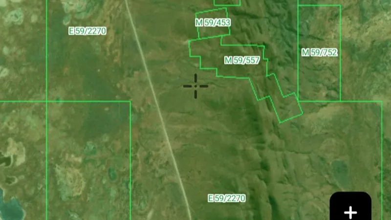
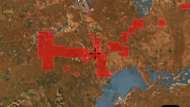
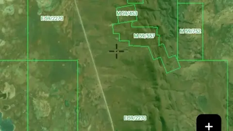
  • Live Tenements (DMIRS-003) in the Detector Maps app, Western Australia© Mapbox, © Maxar
    Mining Boundaries & AreasFree

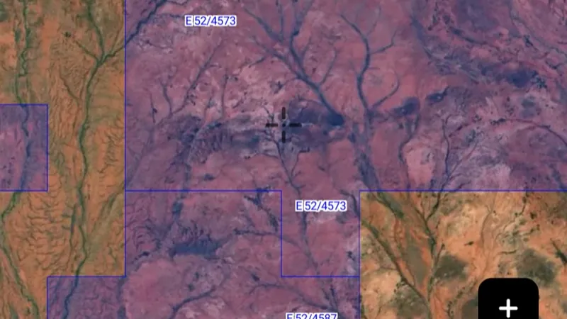
    Live Tenements (DMIRS-003)

    Granted prospecting, exploration and mining leases. Access may need a permit or be off-limits.

    Read the write-up
    Live Tenements (DMIRS-003) in the Detector Maps app, Western Australia© Mapbox, © Maxar

    A screen from the Detector Maps app. Satellite imagery © Mapbox, © Maxar.

    Free. Opens on every plan, including Free.

    Open in the app

    About this layer

    Current mineral tenure shows mapped mining rights, licences or permits. Check the record type and status together with land-access information. A mineral boundary does not by itself establish who may enter or prospect.

    What it is for

    Check the legend, status and available record details. Confirm the current record and relevant access arrangements before visiting.

    Limits

    Applications and granted rights are different. A mapped boundary alone does not tell you whether detecting is permitted.

    Source

    This Data is licensed under a CC BY 4.0 International licence by the State of Western Australia (Department of Mines, Petroleum and Exploration) 2026 CC BY 4.0

    Updated daily 6AM local time.

    Legend

    Live Tenements (DMIRS-003)
    • Live Tenements

    Filters in the app

    Attribute filtersCategory filterExpiry filter
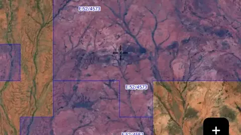
  • Pending Tenements (DMIRS-003) in the Detector Maps app, Western Australia© Mapbox, © Maxar
    Mining Boundaries & AreasFree

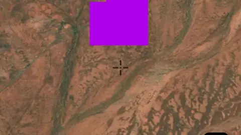
    Pending Tenements (DMIRS-003)

    Tenement applications that have not yet been granted. Ground is generally available pending grant.

    Read the write-up
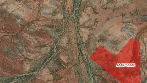
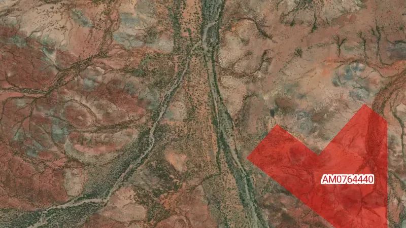
    Pending Tenements (DMIRS-003) in the Detector Maps app, Western Australia© Mapbox, © Maxar

    A screen from the Detector Maps app. Satellite imagery © Mapbox, © Maxar.

    Free. Opens on every plan, including Free.

    Open in the app

    About this layer

    Applications show proposed mineral rights that are still recorded as applications. They are different from granted rights. Check for overlapping current tenure and confirm the latest status before making an access decision.

    What it is for

    Check the legend, status and available record details. Confirm the current record and relevant access arrangements before visiting.

    Limits

    Applications and granted rights are different. A mapped boundary alone does not tell you whether detecting is permitted.

    Source

    This Data is licensed under a CC BY 4.0 International licence by the State of Western Australia (Department of Mines, Petroleum and Exploration) 2026 CC BY 4.0

    Updated daily 6AM local time.

    Legend

    Pending Tenements (DMIRS-003)
    • Pending Tenements

    Filters in the app

    Attribute filtersCategory filter
  • Restoration Pending in the Detector Maps app, Western Australia© Mapbox, © Maxar
    Mining Boundaries & AreasExplorer

    Restoration Pending

    Tenements with restoration applications in progress. Status may change soon. Check before working the ground.

    Read the write-up
    Restoration Pending in the Detector Maps app, Western Australia© Mapbox, © Maxar

    A screen from the Detector Maps app. Satellite imagery © Mapbox, © Maxar.

    Explorer. Opens with Explorer or Pro. On the Free plan it works inside your one free area of 250 km².

    Open in the app

    About this layer

    These records identify mineral tenements awaiting the status change named in the layer. Use them to follow changes in recorded tenure. Pending release, restoration or amalgamation is not confirmation that land is available to prospect.

    What it is for

    Check the legend, status and available record details. Confirm the current record and relevant access arrangements before visiting.

    Limits

    Applications and granted rights are different. A mapped boundary alone does not tell you whether detecting is permitted.

    Source

    This Data is licensed under a CC BY 4.0 International licence by the State of Western Australia (Department of Mines, Petroleum and Exploration) 2026 CC BY 4.0

    Updated daily 6AM local time.

    Legend

    Restoration Pending
    • Restoration Pending
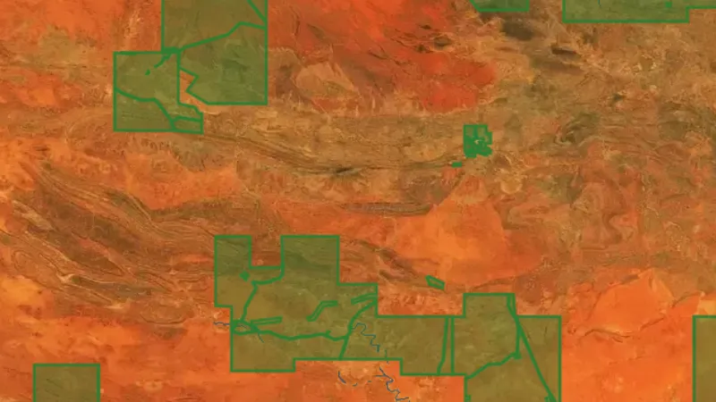
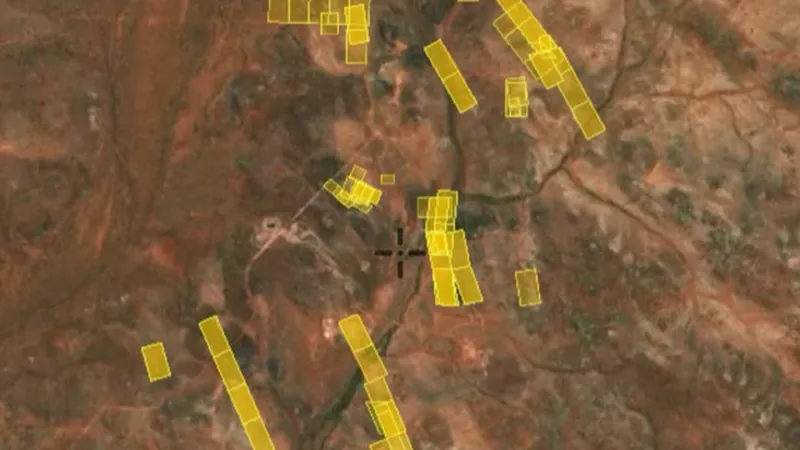
  • Release Pending in Western Australia, drawn over satellite imagery© Mapbox, © Maxar
    Mining Boundaries & AreasExplorer

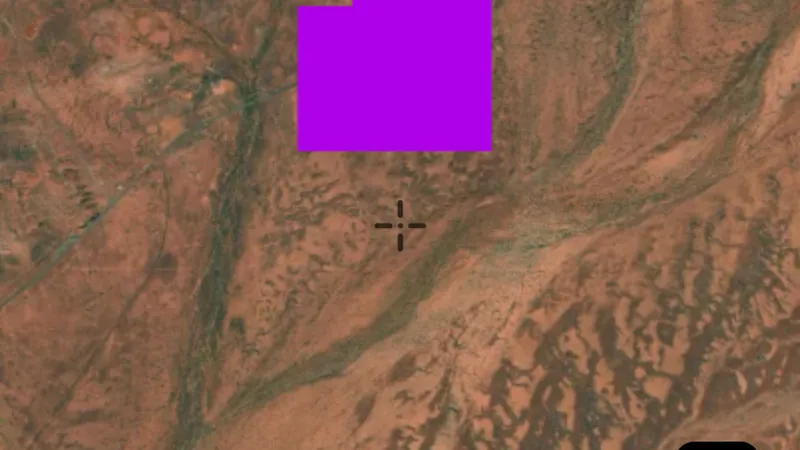
    Release Pending

    Tenements due for release back to open ground. Watch for upcoming availability.

    Read the write-up
    Release Pending in Western Australia, drawn over satellite imagery© Mapbox, © Maxar

    The layer drawn over satellite imagery. Satellite imagery © Mapbox, © Maxar.

    Explorer. Opens with Explorer or Pro. On the Free plan it works inside your one free area of 250 km².

    Open in the app

    About this layer

    These records identify mineral tenements awaiting the status change named in the layer. Use them to follow changes in recorded tenure. Pending release, restoration or amalgamation is not confirmation that land is available to prospect.

    What it is for

    Check the legend, status and available record details. Confirm the current record and relevant access arrangements before visiting.

    Limits

    Applications and granted rights are different. A mapped boundary alone does not tell you whether detecting is permitted.

    Source

    This Data is licensed under a CC BY 4.0 International licence by the State of Western Australia (Department of Mines, Petroleum and Exploration) 2026 CC BY 4.0

    Updated daily 6AM local time.

    Legend

    Release Pending
    • Release Pending
  • Amalgamation Pending in Western Australia, drawn over satellite imagery© Mapbox, © Maxar
    Mining Boundaries & AreasExplorer

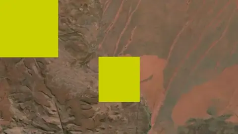
    Amalgamation Pending

    Tenements undergoing amalgamation. Boundaries and status are in flux.

    Read the write-up
    Amalgamation Pending in Western Australia, drawn over satellite imagery© Mapbox, © Maxar

    The layer drawn over satellite imagery. Satellite imagery © Mapbox, © Maxar.

    Explorer. Opens with Explorer or Pro. On the Free plan it works inside your one free area of 250 km².

    Open in the app

    About this layer

    These records identify mineral tenements awaiting the status change named in the layer. Use them to follow changes in recorded tenure. Pending release, restoration or amalgamation is not confirmation that land is available to prospect.

    What it is for

    Check the legend, status and available record details. Confirm the current record and relevant access arrangements before visiting.

    Limits

    Applications and granted rights are different. A mapped boundary alone does not tell you whether detecting is permitted.

    Source

    This Data is licensed under a CC BY 4.0 International licence by the State of Western Australia (Department of Mines, Petroleum and Exploration) 2026 CC BY 4.0

    Updated daily 6AM local time.

    Legend

    Amalgamation Pending
    • Amalgamation Pending

Geochemistry

6
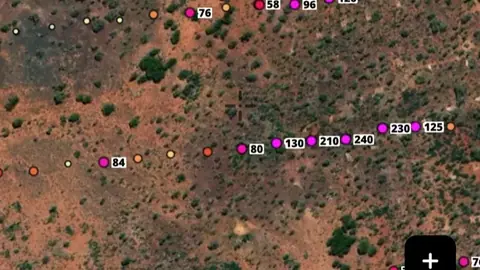
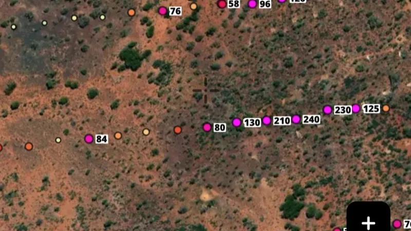
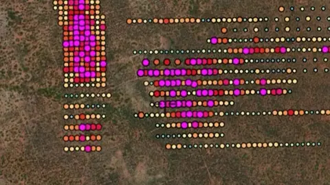
  • Soil Samples in the Detector Maps app, Western Australia© Mapbox, © Maxar
    GeochemistryExplorer

    Soil Samples

    Gold concentrations reported in soil samples taken by exploration companies. Shows where surface gold values are highest.

    Read the write-up
    Soil Samples in the Detector Maps app, Western Australia© Mapbox, © Maxar

    A screen from the Detector Maps app. Satellite imagery © Mapbox, © Maxar.

    Explorer. Opens with Explorer or Pro. On the Free plan it works inside your one free area of 250 km².

    Open in the app

    About this layer

    Soil samples show what a laboratory measured in soil collected near the surface. Look for clusters of higher readings and compare them with nearby slopes, creeks and rock types. A high reading is a clue in a soil sample, not a detected nugget.

    What it is for

    Use the legend to compare readings from similar samples. Look for clusters and compare them with slopes, drainage and geology.

    Limits

    Soil can move downslope or be transported. A reading describes the collected sample, not the amount of gold beneath the point.

    Source

    This Data is licensed under a CC BY 4.0 International licence by the State of Western Australia (Department of Mines, Petroleum and Exploration) 2026 CC BY 4.0

    Legend

    Soils · PPB
    Note: only appear at 10+ zoom level
    • Low Gold < 0.001
    • 0.001
    • 6
    • Medium Gold 10
    • 25
    • 50
    • High Gold 100

    Filters in the app

    Soil sample filters
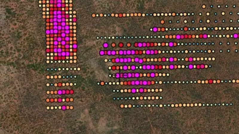
  • Rock Chips in the Detector Maps app, Western Australia© Mapbox, © Maxar
    GeochemistryExplorer

    Rock Chips

    Gold concentration in small samples of exposed rock, measured in ppm. Flags hard rock sources and prospective outcrops.

    Read the write-up
    Rock Chips in the Detector Maps app, Western Australia© Mapbox, © Maxar

    A screen from the Detector Maps app. Satellite imagery © Mapbox, © Maxar.

    Explorer. Opens with Explorer or Pro. On the Free plan it works inside your one free area of 250 km².

    Open in the app

    About this layer

    Rock samples show laboratory results from pieces of rock collected for testing. Compare neighbouring samples to see whether an interesting result follows a rock unit or a vein. One rich sample may not represent the surrounding ground.

    What it is for

    Compare nearby samples and the mapped rock units. Open the record, where available, to check the sample description.

    Limits

    A selected rock sample may not represent the surrounding ground. Check units before comparing it with soil or stream readings.

    Source

    This Data is licensed under a CC BY 4.0 International licence by the State of Western Australia (Department of Mines, Petroleum and Exploration) 2026 CC BY 4.0

    Legend

    Rocks · PPM
    Note: only appear at 9+ zoom level
    • Low Gold 0.01
    • 0.02
    • 0.1
    • Medium Gold 0.25
    • 0.5
    • 1
    • High Gold 10

    Filters in the app

    Soil sample filters
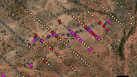
  • Stream Sediments in the Detector Maps app, Western Australia© Mapbox, © Maxar
    GeochemistryExplorer

    Stream Sediments

    Gold concentration in creek sediment samples (ppb). Suggests a mineralised source somewhere upstream.

    Read the write-up
    Stream Sediments in the Detector Maps app, Western Australia© Mapbox, © Maxar

    A screen from the Detector Maps app. Satellite imagery © Mapbox, © Maxar.

    Explorer. Opens with Explorer or Pro. On the Free plan it works inside your one free area of 250 km².

    Open in the app

    About this layer

    Stream sediment samples test material collected from creek or river beds. A higher reading can be a clue to mineral-bearing ground somewhere upstream. Compare nearby samples and the upstream drainage; the sample point is not necessarily the source.

    What it is for

    Compare readings along the drainage and with the geology upstream. Check the legend for the element and units.

    Limits

    Sediment can travel and mix with material from different sources. A sample point is not a precise source location.

    Source

    This Data is licensed under a CC BY 4.0 International licence by the State of Western Australia (Department of Mines, Petroleum and Exploration) 2026 CC BY 4.0

    Legend

    Streams · PPB
    Note: only appear at 10+ zoom level
    • Low Gold < 1
    • 1
    • 10
    • Medium Gold 25
    • 50
    • High Gold 100

    Filters in the app

    Soil sample filters
  • Shallow Drill in the Detector Maps app, Western Australia© Mapbox, © Maxar
    GeochemistryExplorer

    Shallow Drill

    Near-surface methods (auger/RAB) testing gold through the soil profile. Useful where bedrock is covered.

    Read the write-up
    Shallow Drill in the Detector Maps app, Western Australia© Mapbox, © Maxar

    A screen from the Detector Maps app. Satellite imagery © Mapbox, © Maxar.

    Explorer. Opens with Explorer or Pro. On the Free plan it works inside your one free area of 250 km².

    Open in the app

    About this layer

    Shallow drilling samples material beneath the surface cover. These results can help you compare what lies below nearby soil and creek samples. Check the recorded depth before treating a result as relevant to surface detecting.

    What it is for

    Check depth and assay details where available. Compare several holes with the surface geology before drawing conclusions.

    Limits

    A value from depth may have little bearing on what a detector can reach. The map point usually locates the hole, not each sample underground.

    Source

    This Data is licensed under a CC BY 4.0 International licence by the State of Western Australia (Department of Mines, Petroleum and Exploration) 2026 CC BY 4.0

    Legend

    Shallow Drill · PPB
    Note: only appear at 10+ zoom level
    • Low Gold < 0.001
    • 0.001
    • 6
    • Medium Gold 10
    • 25
    • 50
    • High Gold 100

    Filters in the app

    Soil sample filters
  • Max Downhole in the Detector Maps app, Western Australia© Mapbox, © Maxar
    GeochemistryExplorer

    Max Downhole

    Highest gold value recorded in each drillhole. Indicates where exploration companies have committed to drilling.

    Read the write-up
    Max Downhole in the Detector Maps app, Western Australia© Mapbox, © Maxar

    A screen from the Detector Maps app. Satellite imagery © Mapbox, © Maxar.

    Explorer. Opens with Explorer or Pro. On the Free plan it works inside your one free area of 250 km².

    Open in the app

    About this layer

    This layer shows the highest recorded gold result for each drill hole. It helps you see where drilling found interesting material below the surface. The best result may be deep underground and out of reach of a detector.

    What it is for

    Check depth and assay details where available. Compare several holes with the surface geology before drawing conclusions.

    Limits

    A value from depth may have little bearing on what a detector can reach. The map point usually locates the hole, not each sample underground.

    Source

    This Data is licensed under a CC BY 4.0 International licence by the State of Western Australia (Department of Mines, Petroleum and Exploration) 2026 CC BY 4.0

    Legend

    Max Downhole · PPM
    • Low Gold 0.001
    • 0.02
    • 0.1
    • Medium Gold 0.25
    • 0.5
    • 1
    • High Gold 10

    Filters in the app

    Soil sample filters
  • Unknown Samples in the Detector Maps app, Western Australia© Mapbox, © Maxar
    GeochemistryExplorer

    Unknown Samples

    Geochem samples where sample medium isn't recorded. Still a gold signal worth checking.

    Also in 1 other state in Australia
    Read the write-up
    Unknown Samples in the Detector Maps app, Western Australia© Mapbox, © Maxar

    A screen from the Detector Maps app. Satellite imagery © Mapbox, © Maxar.

    Explorer. Opens with Explorer or Pro. On the Free plan it works inside your one free area of 250 km².

    Open in the app

    This layer works the same way in 2 places in Australia, so its full write-up, legend and plan are on one page.

    Read the full write-up

    Source in Western Australia

    This Data is licensed under a CC BY 4.0 International licence by the State of Western Australia (Department of Mines, Petroleum and Exploration) 2026 CC BY 4.0

    Filters in the app

    Soil sample filters

Native Title Areas

3
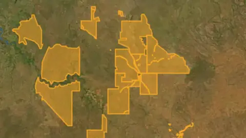
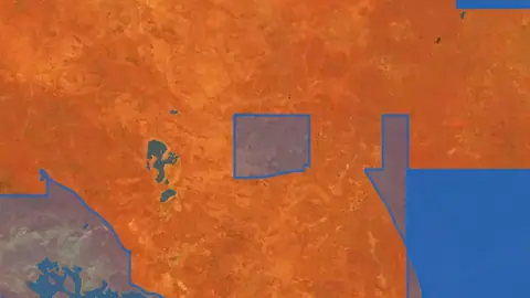
  • NT Determinations in Western Australia, drawn over satellite imagery© Mapbox, © Maxar
    Native Title AreasExplorer

    NT Determinations

    Native title determinations record decisions about whether native title exists in an area.

    Also in 5 other states in Australia
    Read the write-up
    NT Determinations in Western Australia, drawn over satellite imagery© Mapbox, © Maxar

    The layer drawn over satellite imagery. Satellite imagery © Mapbox, © Maxar.

    Explorer. Opens with Explorer or Pro. On the Free plan it works inside your one free area of 250 km².

    Open in the app

    This layer works the same way in 6 places in Australia, so its full write-up, legend and plan are on one page.

    Read the full write-up

    Source in Western Australia

    This Data is licensed under a CC BY 4.0 International licence by the State of Western Australia (Department of Mines, Petroleum and Exploration) 2026 CC BY 4.0

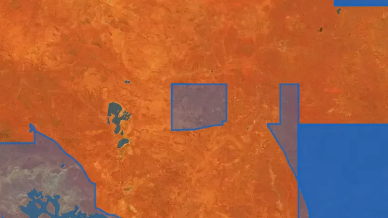
  • NT Claims in Western Australia, drawn over satellite imagery© Mapbox, © Maxar
    Native Title AreasExplorer

    NT Claims

    Native title claims show areas covered by applications to recognise native title rights.

    Also in 5 other states in Australia
    Read the write-up
    NT Claims in Western Australia, drawn over satellite imagery© Mapbox, © Maxar

    The layer drawn over satellite imagery. Satellite imagery © Mapbox, © Maxar.

    Explorer. Opens with Explorer or Pro. On the Free plan it works inside your one free area of 250 km².

    Open in the app

    This layer works the same way in 6 places in Australia, so its full write-up, legend and plan are on one page.

    Read the full write-up

    Source in Western Australia

    This Data is licensed under a CC BY 4.0 International licence by the State of Western Australia (Department of Mines, Petroleum and Exploration) 2026 CC BY 4.0

  • ILUA in Western Australia, drawn over satellite imagery© Mapbox, © Maxar
    Native Title AreasExplorer

    ILUA

    An Indigenous Land Use Agreement, or ILUA, is an agreement about land or waters and their use.

    Also in 5 other states in Australia
    Read the write-up
    ILUA in Western Australia, drawn over satellite imagery© Mapbox, © Maxar

    The layer drawn over satellite imagery. Satellite imagery © Mapbox, © Maxar.

    Explorer. Opens with Explorer or Pro. On the Free plan it works inside your one free area of 250 km².

    Open in the app

    This layer works the same way in 6 places in Australia, so its full write-up, legend and plan are on one page.

    Read the full write-up

    Source in Western Australia

    This Data is licensed under a CC BY 4.0 International licence by the State of Western Australia (Department of Mines, Petroleum and Exploration) 2026 CC BY 4.0

Land Tenure & Reserved Areas

6
  • Section 19 Reserved Areas in the Detector Maps app, Western Australia© Mapbox, © Maxar
    Land Tenure & Reserved AreasExplorer

    Section 19 Reserved Areas

    Restricted areas under Section 19 of the WA Mining Act. Off-limits.

    Read the write-up
    Section 19 Reserved Areas in the Detector Maps app, Western Australia© Mapbox, © Maxar

    A screen from the Detector Maps app. Satellite imagery © Mapbox, © Maxar.

    Explorer. Opens with Explorer or Pro. On the Free plan it works inside your one free area of 250 km².

    Open in the app

    About this layer

    Section 19 areas identify land exempted from mining or specified parts of Western Australia's mining legislation. Check the individual record to understand the exemption. Treat the boundary as an access-checking layer, not as available prospecting ground.

    What it is for

    Turn on the relevant layers together and read their legends and notes. Check current conditions with the land manager before planning a visit.

    Limits

    An unshaded area is not automatically available for detecting. Different permissions and restrictions can overlap.

    Source

    This Data is licensed under a CC BY 4.0 International licence by the State of Western Australia (Department of Mines, Petroleum and Exploration) 2026 CC BY 4.0

    Legend

    Section 19
    • Crown Freehold
  • Exempt East Locations (EELS) in the Detector Maps app, Western Australia© Mapbox, © Maxar
    Land Tenure & Reserved AreasExplorer

    Exempt East Locations (EELS)

    Locations exempted from certain access conditions in eastern WA.

    Read the write-up
    Exempt East Locations (EELS) in the Detector Maps app, Western Australia© Mapbox, © Maxar

    A screen from the Detector Maps app. Satellite imagery © Mapbox, © Maxar.

    Explorer. Opens with Explorer or Pro. On the Free plan it works inside your one free area of 250 km².

    Open in the app

    About this layer

    Exempt East Locations are particular freehold parcels in Western Australia's eastern goldfields where the landowner retained mineral rights. They have different arrangements from ordinary Crown land. Check the property record and arrangements with the owner before planning any prospecting.

    What it is for

    Turn on the relevant layers together and read their legends and notes. Check current conditions with the land manager before planning a visit.

    Limits

    An unshaded area is not automatically available for detecting. Different permissions and restrictions can overlap.

    Source

    This Data is licensed under a CC BY 4.0 International licence by the State of Western Australia (Department of Mines, Petroleum and Exploration) 2026 CC BY 4.0

    Legend

    National Parks
    • East Exempt Locations
    • Legislated Lands
    • Pastoral Leases
    • Aboriginal Land
  • Legislative Land in the Detector Maps app, Western Australia© Mapbox, © Maxar
    Land Tenure & Reserved AreasExplorer

    Legislative Land

    Areas under specific legislation that affect access or prospecting.

    Read the write-up
    Legislative Land in the Detector Maps app, Western Australia© Mapbox, © Maxar

    A screen from the Detector Maps app. Satellite imagery © Mapbox, © Maxar.

    Explorer. Opens with Explorer or Pro. On the Free plan it works inside your one free area of 250 km².

    Open in the app

    About this layer

    Land-use layers show how areas are managed or classified. Compare overlapping layers before planning a visit and check the details for the land you intend to use. An area with no shading is not automatically open to detecting.

    What it is for

    Turn on the relevant layers together and read their legends and notes. Check current conditions with the land manager before planning a visit.

    Limits

    An unshaded area is not automatically available for detecting. Different permissions and restrictions can overlap.

    Source

    This Data is licensed under a CC BY 4.0 International licence by the State of Western Australia (Department of Mines, Petroleum and Exploration) 2026 CC BY 4.0

    Legend

    National Parks
    • East Exempt Locations
    • Legislated Lands
    • Pastoral Leases
    • Aboriginal Land
  • Aboriginal Heritage Sites in the Detector Maps app, Western Australia© Mapbox, © Maxar
    Land Tenure & Reserved AreasExplorer

    Aboriginal Heritage Sites

    Land with registered Aboriginal heritage interests. Additional permissions and care needed.

    Read the write-up
    Aboriginal Heritage Sites in the Detector Maps app, Western Australia© Mapbox, © Maxar

    A screen from the Detector Maps app. Satellite imagery © Mapbox, © Maxar.

    Explorer. Opens with Explorer or Pro. On the Free plan it works inside your one free area of 250 km².

    Open in the app

    About this layer

    Heritage records identify places recognised for their cultural or historic importance. Use the records to understand the history and protection of an area. A heritage marker is for research, not an invitation to search or disturb the site.

    What it is for

    Turn on the relevant layers together and read their legends and notes. Check current conditions with the land manager before planning a visit.

    Limits

    An unshaded area is not automatically available for detecting. Different permissions and restrictions can overlap.

    Source

    This Data is licensed under a CC BY 4.0 International licence by the State of Western Australia (Department of Mines, Petroleum and Exploration) 2026 CC BY 4.0

    Legend

    National Parks
    • East Exempt Locations
    • Legislated Lands
    • Pastoral Leases
    • Aboriginal Land
  • Pastoral Stations (DPLH) in the Detector Maps app, Western Australia© Mapbox, © Maxar
    Land Tenure & Reserved AreasExplorer

    Pastoral Stations (DPLH)

    Pastoral lease boundaries. Landholder permission is typically required before prospecting.

    Read the write-up
    Pastoral Stations (DPLH) in the Detector Maps app, Western Australia© Mapbox, © Maxar

    A screen from the Detector Maps app. Satellite imagery © Mapbox, © Maxar.

    Explorer. Opens with Explorer or Pro. On the Free plan it works inside your one free area of 250 km².

    Open in the app

    About this layer

    Pastoral station boundaries help identify grazing properties around your research area. Compare them with mining and land-access layers before planning a trip. A station boundary does not provide permission to enter or prospect.

    What it is for

    Turn on the relevant layers together and read their legends and notes. Check current conditions with the land manager before planning a visit.

    Limits

    An unshaded area is not automatically available for detecting. Different permissions and restrictions can overlap.

    Source

    This Data is licensed under a CC BY 4.0 International licence by the State of Western Australia (Department of Mines, Petroleum and Exploration) 2026 CC BY 4.0

    Legend

    National Parks
    • East Exempt Locations
    • Legislated Lands
    • Pastoral Leases
    • Aboriginal Land
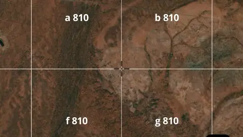
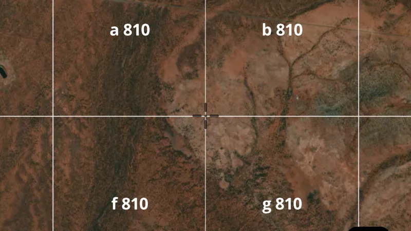
  • Graticular Blocks 1min in the Detector Maps app, Western Australia© Mapbox, © Maxar
    Land Tenure & Reserved AreasExplorer

    Graticular Blocks 1min

    One-minute latitude/longitude grid for coordinates and navigation reference.

    Read the write-up
    Graticular Blocks 1min in the Detector Maps app, Western Australia© Mapbox, © Maxar

    A screen from the Detector Maps app. Satellite imagery © Mapbox, © Maxar.

    Explorer. Opens with Explorer or Pro. On the Free plan it works inside your one free area of 250 km².

    Open in the app

    About this layer

    Graticular blocks are a reference grid formed by lines of latitude and longitude. These blocks each span one minute in both directions and help describe exploration and permit areas in Western Australia. A block is a location reference, not permission to prospect.

    What it is for

    Turn on the relevant layers together and read their legends and notes. Check current conditions with the land manager before planning a visit.

    Limits

    An unshaded area is not automatically available for detecting. Different permissions and restrictions can overlap.

    Source

    This Data is licensed under a CC BY 4.0 International licence by the State of Western Australia (Department of Mines, Petroleum and Exploration) 2026 CC BY 4.0

    Legend

    Graticular Blocks 1min
    • Graticular Blocks 1min

Historical Maps WA

1
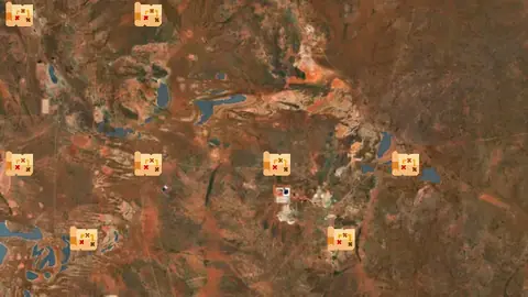
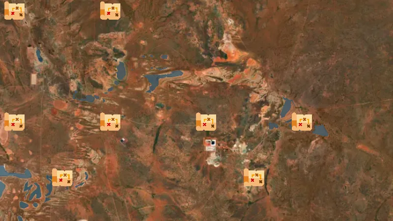
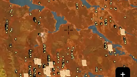
  • Historic Mining Maps in Western Australia, drawn over satellite imagery© Mapbox, © Maxar
    Historical Maps WAExplorer

    Historic Mining Maps

    Scanned WA Mines Department public plans, 1890s to the 1990s. Tap a marker to see every edition of that sheet, preview the scan, and add it to the map. Lease numbers, workings and shaft positions are drawn as the department recorded them at the time.

    Read the write-up
    Historic Mining Maps in Western Australia, drawn over satellite imagery© Mapbox, © Maxar

    Sheet markers drawn from the DMIRS catalogue as the app draws them. Satellite imagery © Mapbox, © Maxar.

    Explorer. Opens with Explorer or Pro. On the Free plan it works inside your one free area of 250 km².

    Open in the app

    About this layer

    Historical maps show how an area was recorded in an earlier period. Compare old roads, buildings, boundaries and workings with the modern basemap. Scans can be misaligned, and features may have moved or disappeared.

    What it is for

    Compare the old map with the modern basemap using opacity. Check the selected map or era before interpreting a feature.

    Limits

    Old maps can be stretched, incomplete or offset from modern coordinates. Treat locations as clues rather than exact positions.

    Source

    This Data is licensed under a CC BY 4.0 International licence by the State of Western Australia (Department of Mines, Petroleum and Exploration) 2026 CC BY 4.0

Historic Mining Activity

2
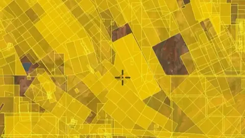
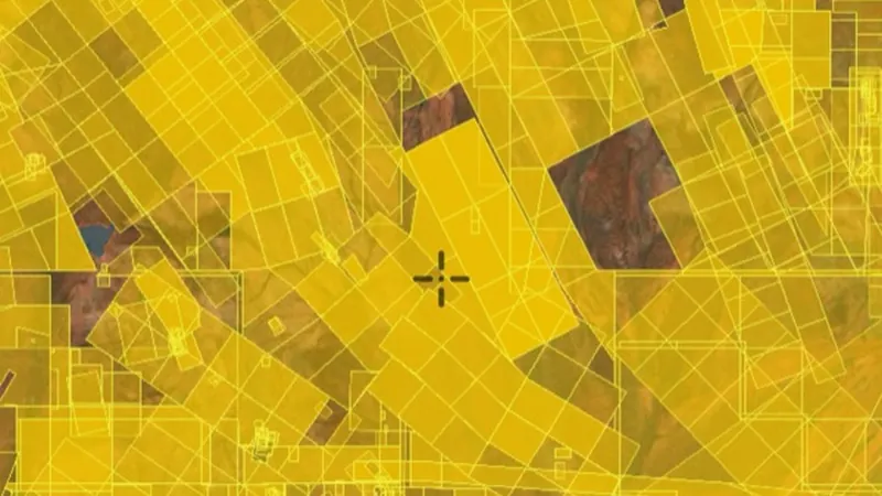
  • Dead / Expired Tenements in the Detector Maps app, Western Australia© Mapbox, © Maxar
    Historic Mining ActivityExplorer

    Dead / Expired Tenements

    Historic tenements that are no longer active. Useful for understanding past exploration footprints.

    Read the write-up
    Dead / Expired Tenements in the Detector Maps app, Western Australia© Mapbox, © Maxar

    A screen from the Detector Maps app. Satellite imagery © Mapbox, © Maxar.

    Explorer. Opens with Explorer or Pro. On the Free plan it works inside your one free area of 250 km².

    Open in the app

    About this layer

    Historic claims and leases show where mineral rights were recorded in the past. They can help you trace earlier exploration and mining interest. An expired or historical record does not mean the land is now open.

    What it is for

    Compare historic activity with current tenure, geology and access layers when researching an area.

    Limits

    An expired or closed record does not mean land is now open. Check current records and permissions separately.

    Source

    This Data is licensed under a CC BY 4.0 International licence by the State of Western Australia (Department of Mines, Petroleum and Exploration) 2026 CC BY 4.0

    Legend

    Dead / Expired Tenements
    • Dead / Expired Tenements

    Filters in the app

    Attribute filtersYear range
  • Historic Gold Mining Leases in the Detector Maps app, Western Australia© Mapbox, © Maxar
    Historic Mining ActivityExplorer

    Historic Gold Mining Leases

    Footprints of expired gold-focused tenements from the dead-tenements dataset. Useful for spotting areas worked in the past.

    Read the write-up
    Historic Gold Mining Leases in the Detector Maps app, Western Australia© Mapbox, © Maxar

    A screen from the Detector Maps app. Satellite imagery © Mapbox, © Maxar.

    Explorer. Opens with Explorer or Pro. On the Free plan it works inside your one free area of 250 km².

    Open in the app

    About this layer

    Historic claims and leases show where mineral rights were recorded in the past. They can help you trace earlier exploration and mining interest. An expired or historical record does not mean the land is now open.

    What it is for

    Compare historic activity with current tenure, geology and access layers when researching an area.

    Limits

    An expired or closed record does not mean land is now open. Check current records and permissions separately.

    Source

    This Data is licensed under a CC BY 4.0 International licence by the State of Western Australia (Department of Mines, Petroleum and Exploration) 2026 CC BY 4.0

    Legend

    Historic Gold Mining Leases
    • Historic Gold Mining Leases

Bushfires

1
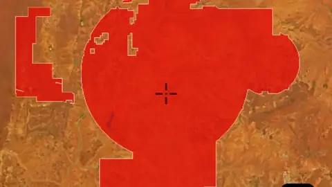
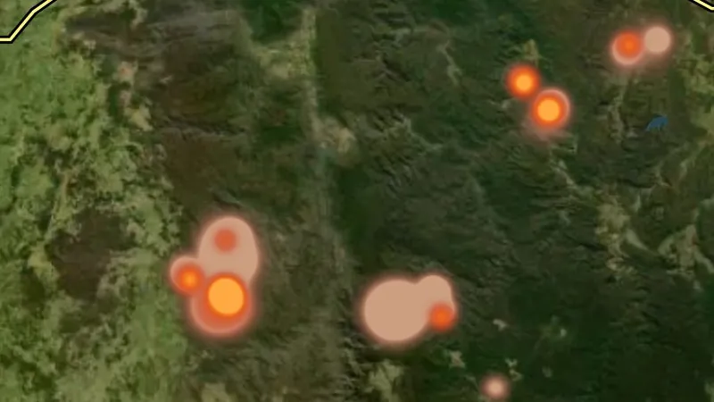
  • Active Fires (10 min updates) in the Detector Maps app, Western Australia© Mapbox, © Maxar
    BushfiresExplorer

    Active Fires (10 min updates)

    Where satellites saw fire in the last three days, drawn as a glow: brighter for fiercer fires, coloured by how recently the heat was seen.

    Also in 6 other states in Australia
    Read the write-up
    Active Fires (10 min updates) in the Detector Maps app, Western Australia© Mapbox, © Maxar

    A screen from the Detector Maps app. Satellite imagery © Mapbox, © Maxar.

    Explorer. Opens with Explorer or Pro. On the Free plan it works inside your one free area of 250 km².

    Open in the app

    This layer works the same way in 7 places in Australia, so its full write-up, legend and plan are on one page.

    Read the full write-up

    Source in Western Australia

    Geoscience Australia DEA Hotspots

    Draws from zoom 3.

Mosaic Geology

2
  • 100k Mosaic Geology in the Detector Maps app, Western Australia© Mapbox, © Maxar
    Mosaic GeologyExplorer

    100k Mosaic Geology

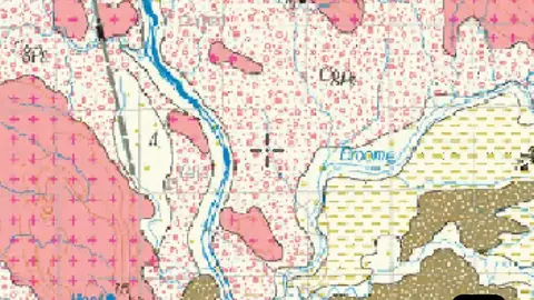
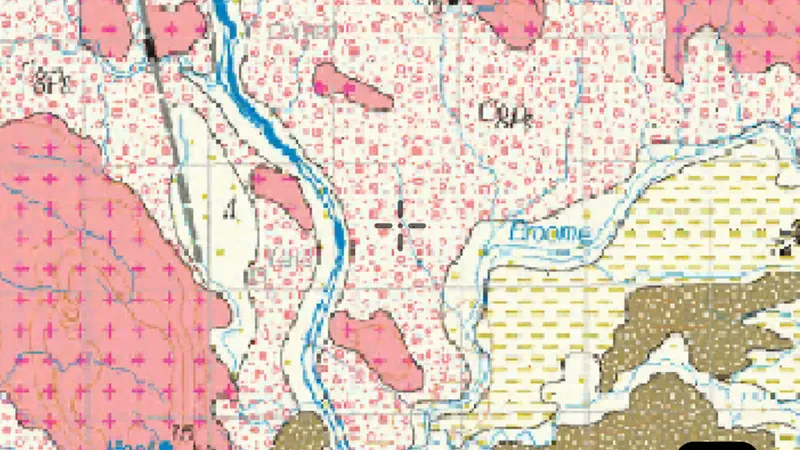
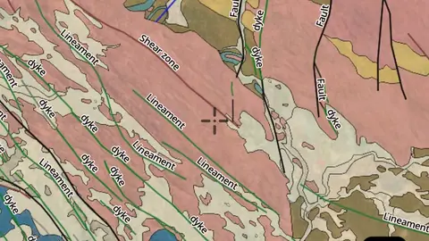
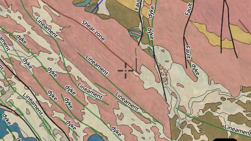
    1:100,000 scanned geology maps: the finest mosaic detail, available mainly across the Yilgarn and Pilbara.

    Read the write-up
    100k Mosaic Geology in the Detector Maps app, Western Australia© Mapbox, © Maxar

    A screen from the Detector Maps app. Satellite imagery © Mapbox, © Maxar.

    Explorer. Opens with Explorer or Pro. On the Free plan it works inside your one free area of 250 km².

    Open in the app

    About this layer

    Mosaic geology joins geological map sheets into one overlay. It helps you follow mapped units across a wider area. Colours, detail and sheet edges can vary, so check the legend and scale for the part you are viewing.

    What it is for

    Use the legend to identify colours and line symbols. Compare rock boundaries and structures with mineral records and terrain.

    Limits

    Geological maps simplify the ground at their stated scale. Boundaries are interpretations and may not match what is exposed at the surface.

    Source

    This Data is licensed under a CC BY 4.0 International licence by the State of Western Australia (Department of Mines, Petroleum and Exploration) 2026 CC BY 4.0

    Draws from zoom 4.5.

  • 250k Mosaic Geology in the Detector Maps app, Western Australia© Mapbox, © Maxar
    Mosaic GeologyExplorer

    250k Mosaic Geology

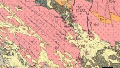
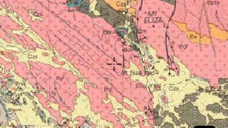
    1:250,000 scanned geology maps: coarser than 100k but covers the whole state.

    Read the write-up
    250k Mosaic Geology in the Detector Maps app, Western Australia© Mapbox, © Maxar

    A screen from the Detector Maps app. Satellite imagery © Mapbox, © Maxar.

    Explorer. Opens with Explorer or Pro. On the Free plan it works inside your one free area of 250 km².

    Open in the app

    About this layer

    Mosaic geology joins geological map sheets into one overlay. It helps you follow mapped units across a wider area. Colours, detail and sheet edges can vary, so check the legend and scale for the part you are viewing.

    What it is for

    Use the legend to identify colours and line symbols. Compare rock boundaries and structures with mineral records and terrain.

    Limits

    Geological maps simplify the ground at their stated scale. Boundaries are interpretations and may not match what is exposed at the surface.

    Source

    This Data is licensed under a CC BY 4.0 International licence by the State of Western Australia (Department of Mines, Petroleum and Exploration) 2026 CC BY 4.0

    Draws from zoom 4.5.

Surface Geology

4
  • 100k Surface Geology Structure in the Detector Maps app, Western Australia© Mapbox, © Maxar
    Surface GeologyExplorer

    100k Surface Geology Structure

    Faults, shear zones and unit contacts mapped at 1:100,000. The structural framework that often hosts gold and base-metal mineralisation.

    Read the write-up
    100k Surface Geology Structure in the Detector Maps app, Western Australia© Mapbox, © Maxar

    A screen from the Detector Maps app. Satellite imagery © Mapbox, © Maxar.

    Explorer. Opens with Explorer or Pro. On the Free plan it works inside your one free area of 250 km².

    Open in the app

    About this layer

    Geological structures show mapped features such as faults, folds, veins and the direction of rock layers. Compare their pattern with nearby mineral records. A mapped line is a geological clue, not a confirmed line of gold.

    What it is for

    Use the legend to identify colours and line symbols. Compare rock boundaries and structures with mineral records and terrain.

    Limits

    Geological maps simplify the ground at their stated scale. Boundaries are interpretations and may not match what is exposed at the surface.

    Source

    This Data is licensed under a CC BY 4.0 International licence by the State of Western Australia (Department of Mines, Petroleum and Exploration) 2026 CC BY 4.0

  • 100k Surface Geology in the Detector Maps app, Western Australia© Mapbox, © Maxar
    Surface GeologyExplorer

    100k Surface Geology

    Surface rock units mapped at 1:100,000, coloured by lithology and age. Click a polygon for unit name and description.

    Read the write-up
    100k Surface Geology in the Detector Maps app, Western Australia© Mapbox, © Maxar

    A screen from the Detector Maps app. Satellite imagery © Mapbox, © Maxar.

    Explorer. Opens with Explorer or Pro. On the Free plan it works inside your one free area of 250 km².

    Open in the app

    About this layer

    Surface geology describes the rock or sediment mapped at or near the surface. Compare changes between units with samples, workings and terrain. Map scale and soil cover limit how precisely a boundary can be followed on the ground.

    What it is for

    Use the legend to identify colours and line symbols. Compare rock boundaries and structures with mineral records and terrain.

    Limits

    Geological maps simplify the ground at their stated scale. Boundaries are interpretations and may not match what is exposed at the surface.

    Source

    This Data is licensed under a CC BY 4.0 International licence by the State of Western Australia (Department of Mines, Petroleum and Exploration) 2026 CC BY 4.0

    Filters in the app

    Attribute filtersGold host rocks filter
  • 250k Surface Geology Structure in the Detector Maps app, Western Australia© Mapbox, © Maxar
    Surface GeologyExplorer

    250k Surface Geology Structure

    Statewide faults and contacts at 1:250,000: regional structural trends for targeting.

    Read the write-up
    250k Surface Geology Structure in the Detector Maps app, Western Australia© Mapbox, © Maxar

    A screen from the Detector Maps app. Satellite imagery © Mapbox, © Maxar.

    Explorer. Opens with Explorer or Pro. On the Free plan it works inside your one free area of 250 km².

    Open in the app

    About this layer

    Geological structures show mapped features such as faults, folds, veins and the direction of rock layers. Compare their pattern with nearby mineral records. A mapped line is a geological clue, not a confirmed line of gold.

    What it is for

    Use the legend to identify colours and line symbols. Compare rock boundaries and structures with mineral records and terrain.

    Limits

    Geological maps simplify the ground at their stated scale. Boundaries are interpretations and may not match what is exposed at the surface.

    Source

    This Data is licensed under a CC BY 4.0 International licence by the State of Western Australia (Department of Mines, Petroleum and Exploration) 2026 CC BY 4.0

  • 250k Surface Geology in the Detector Maps app, Western Australia© Mapbox, © Maxar
    Surface GeologyExplorer

    250k Surface Geology

    Statewide surface rock units at 1:250,000, coloured by lithology and age.

    Read the write-up
    250k Surface Geology in the Detector Maps app, Western Australia© Mapbox, © Maxar

    A screen from the Detector Maps app. Satellite imagery © Mapbox, © Maxar.

    Explorer. Opens with Explorer or Pro. On the Free plan it works inside your one free area of 250 km².

    Open in the app

    About this layer

    Surface geology describes the rock or sediment mapped at or near the surface. Compare changes between units with samples, workings and terrain. Map scale and soil cover limit how precisely a boundary can be followed on the ground.

    What it is for

    Use the legend to identify colours and line symbols. Compare rock boundaries and structures with mineral records and terrain.

    Limits

    Geological maps simplify the ground at their stated scale. Boundaries are interpretations and may not match what is exposed at the surface.

    Source

    This Data is licensed under a CC BY 4.0 International licence by the State of Western Australia (Department of Mines, Petroleum and Exploration) 2026 CC BY 4.0

    Filters in the app

    Attribute filtersGold host rocks filter

Bedrock Geology

4
  • 100k Bedrock Geology Structure in the Detector Maps app, Western Australia© Mapbox, © Maxar
    Bedrock GeologyExplorer

    100k Bedrock Geology Structure

    Interpreted bedrock faults and contacts at 1:100,000, projected through cover using drilling and geophysics.

    Read the write-up
    100k Bedrock Geology Structure in the Detector Maps app, Western Australia© Mapbox, © Maxar

    A screen from the Detector Maps app. Satellite imagery © Mapbox, © Maxar.

    Explorer. Opens with Explorer or Pro. On the Free plan it works inside your one free area of 250 km².

    Open in the app

    About this layer

    Geological structures show mapped features such as faults, folds, veins and the direction of rock layers. Compare their pattern with nearby mineral records. A mapped line is a geological clue, not a confirmed line of gold.

    What it is for

    Use the legend to identify colours and line symbols. Compare rock boundaries and structures with mineral records and terrain.

    Limits

    Geological maps simplify the ground at their stated scale. Boundaries are interpretations and may not match what is exposed at the surface.

    Source

    This Data is licensed under a CC BY 4.0 International licence by the State of Western Australia (Department of Mines, Petroleum and Exploration) 2026 CC BY 4.0

  • 100k Bedrock Geology in the Detector Maps app, Western Australia© Mapbox, © Maxar
    Bedrock GeologyExplorer

    100k Bedrock Geology

    Interpreted bedrock rock units at 1:100,000, showing what sits beneath the cover.

    Read the write-up
    100k Bedrock Geology in the Detector Maps app, Western Australia© Mapbox, © Maxar

    A screen from the Detector Maps app. Satellite imagery © Mapbox, © Maxar.

    Explorer. Opens with Explorer or Pro. On the Free plan it works inside your one free area of 250 km².

    Open in the app

    About this layer

    Bedrock geology describes the solid rock beneath soil and loose surface material. Compare rock units and their boundaries with mineral records to understand possible patterns. Some buried boundaries are interpreted rather than directly observed.

    What it is for

    Use the legend to identify colours and line symbols. Compare rock boundaries and structures with mineral records and terrain.

    Limits

    Geological maps simplify the ground at their stated scale. Boundaries are interpretations and may not match what is exposed at the surface.

    Source

    This Data is licensed under a CC BY 4.0 International licence by the State of Western Australia (Department of Mines, Petroleum and Exploration) 2026 CC BY 4.0

    Filters in the app

    Attribute filtersGold host rocks filter
  • 500k Bedrock Geology Structure in the Detector Maps app, Western Australia© Mapbox, © Maxar
    Bedrock GeologyExplorer

    500k Bedrock Geology Structure

    Interpreted bedrock faults and contacts at 1:500,000: broad regional structural framework.

    Read the write-up
    500k Bedrock Geology Structure in the Detector Maps app, Western Australia© Mapbox, © Maxar

    A screen from the Detector Maps app. Satellite imagery © Mapbox, © Maxar.

    Explorer. Opens with Explorer or Pro. On the Free plan it works inside your one free area of 250 km².

    Open in the app

    About this layer

    Geological structures show mapped features such as faults, folds, veins and the direction of rock layers. Compare their pattern with nearby mineral records. A mapped line is a geological clue, not a confirmed line of gold.

    What it is for

    Use the legend to identify colours and line symbols. Compare rock boundaries and structures with mineral records and terrain.

    Limits

    Geological maps simplify the ground at their stated scale. Boundaries are interpretations and may not match what is exposed at the surface.

    Source

    This Data is licensed under a CC BY 4.0 International licence by the State of Western Australia (Department of Mines, Petroleum and Exploration) 2026 CC BY 4.0

  • 500k Bedrock Geology in the Detector Maps app, Western Australia© Mapbox, © Maxar
    Bedrock GeologyExplorer

    500k Bedrock Geology

    Interpreted bedrock rock units at 1:500,000, showing the geology beneath cover at a regional scale.

    Read the write-up
    500k Bedrock Geology in the Detector Maps app, Western Australia© Mapbox, © Maxar

    A screen from the Detector Maps app. Satellite imagery © Mapbox, © Maxar.

    Explorer. Opens with Explorer or Pro. On the Free plan it works inside your one free area of 250 km².

    Open in the app

    About this layer

    Bedrock geology describes the solid rock beneath soil and loose surface material. Compare rock units and their boundaries with mineral records to understand possible patterns. Some buried boundaries are interpreted rather than directly observed.

    What it is for

    Use the legend to identify colours and line symbols. Compare rock boundaries and structures with mineral records and terrain.

    Limits

    Geological maps simplify the ground at their stated scale. Boundaries are interpretations and may not match what is exposed at the surface.

    Source

    This Data is licensed under a CC BY 4.0 International licence by the State of Western Australia (Department of Mines, Petroleum and Exploration) 2026 CC BY 4.0

    Filters in the app

    Attribute filtersGold host rocks filter

Simple Geology

2
  • 1M Simple Geology Structure in the Detector Maps app, Western Australia© Mapbox, © Maxar
    Simple GeologyExplorer

    1M Simple Geology Structure

    Major faults and unit boundaries at 1:1,000,000: state-scale structural overview.

    Read the write-up
    1M Simple Geology Structure in the Detector Maps app, Western Australia© Mapbox, © Maxar

    A screen from the Detector Maps app. Satellite imagery © Mapbox, © Maxar.

    Explorer. Opens with Explorer or Pro. On the Free plan it works inside your one free area of 250 km².

    Open in the app

    About this layer

    Geological structures show mapped features such as faults, folds, veins and the direction of rock layers. Compare their pattern with nearby mineral records. A mapped line is a geological clue, not a confirmed line of gold.

    What it is for

    Use the legend to identify colours and line symbols. Compare rock boundaries and structures with mineral records and terrain.

    Limits

    Geological maps simplify the ground at their stated scale. Boundaries are interpretations and may not match what is exposed at the surface.

    Source

    This Data is licensed under a CC BY 4.0 International licence by the State of Western Australia (Department of Mines, Petroleum and Exploration) 2026 CC BY 4.0

  • 1M Simple Geology in the Detector Maps app, Western Australia© Mapbox, © Maxar
    Simple GeologyExplorer

    1M Simple Geology

    Simplified rock unit polygons at 1:1,000,000: quick state-wide geological context.

    Read the write-up
    1M Simple Geology in the Detector Maps app, Western Australia© Mapbox, © Maxar

    A screen from the Detector Maps app. Satellite imagery © Mapbox, © Maxar.

    Explorer. Opens with Explorer or Pro. On the Free plan it works inside your one free area of 250 km².

    Open in the app

    About this layer

    Geological maps divide the ground into rock or sediment units. Colours and patterns tell you which mapped unit is present; use the legend to read them. Compare the boundaries with mineral records, without assuming one rock type guarantees gold.

    What it is for

    Use the legend to identify colours and line symbols. Compare rock boundaries and structures with mineral records and terrain.

    Limits

    Geological maps simplify the ground at their stated scale. Boundaries are interpretations and may not match what is exposed at the surface.

    Source

    This Data is licensed under a CC BY 4.0 International licence by the State of Western Australia (Department of Mines, Petroleum and Exploration) 2026 CC BY 4.0

    Filters in the app

    Attribute filtersGold host rocks filter

Geophysics

3
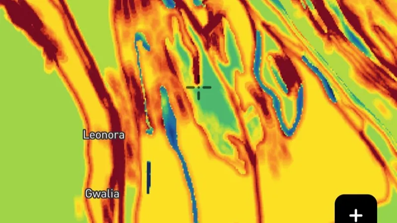
  • Magnetics (1VD) (Online Only) in the Detector Maps app, Western Australia© Mapbox, © Maxar
    GeophysicsExplorer

    Magnetics (1VD) (Online Only)

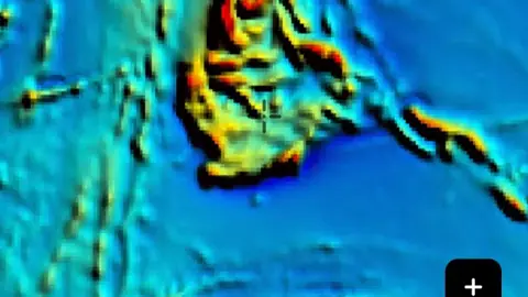
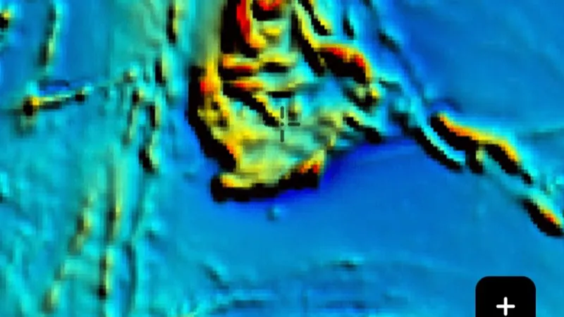
    First vertical derivative showing shallow magnetic edges, breaks and contacts.

    Read the write-up
    Magnetics (1VD) (Online Only) in the Detector Maps app, Western Australia© Mapbox, © Maxar

    A screen from the Detector Maps app. Satellite imagery © Mapbox, © Maxar.

    Explorer. Opens with Explorer or Pro. On the Free plan it works inside your one free area of 250 km².

    Open in the app

    About this layer

    This magnetic view emphasises changes and edges in the survey data. The abbreviation 1VD means first vertical derivative. Compare its sharper lines with the broader RTP image and geology, rather than treating every bright edge as a gold target.

    What it is for

    Compare broad patterns and boundaries with mapped geology. Check which magnetic processing option is selected.

    Limits

    Magnetic highs and lows do not directly measure gold. Survey processing can emphasise different parts of the same signal.

    Source

    This Data is licensed under a CC BY 4.0 International licence by the State of Western Australia (Department of Mines, Petroleum and Exploration) 2026 CC BY 4.0

  • Magnetics (RTP) (Online Only) in the Detector Maps app, Western Australia© Mapbox, © Maxar
    GeophysicsExplorer

    Magnetics (RTP) (Online Only)

    Reduced-to-pole magnetics revealing subsurface magnetic features and trends.

    Read the write-up
    Magnetics (RTP) (Online Only) in the Detector Maps app, Western Australia© Mapbox, © Maxar

    A screen from the Detector Maps app. Satellite imagery © Mapbox, © Maxar.

    Explorer. Opens with Explorer or Pro. On the Free plan it works inside your one free area of 250 km².

    Open in the app

    About this layer

    This magnetic survey image highlights differences in the magnetic properties of the ground. RTP means the data has been adjusted to make magnetic features easier to relate to their sources. Compare broad bands and changes with the geology; it does not detect gold directly.
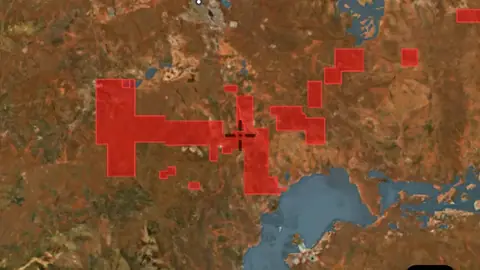
    What it is for

    Compare broad patterns and boundaries with mapped geology. Check which magnetic processing option is selected.

    Limits

    Magnetic highs and lows do not directly measure gold. Survey processing can emphasise different parts of the same signal.

    Source

    This Data is licensed under a CC BY 4.0 International licence by the State of Western Australia (Department of Mines, Petroleum and Exploration) 2026 CC BY 4.0

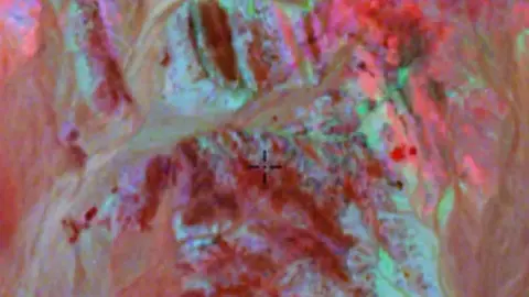
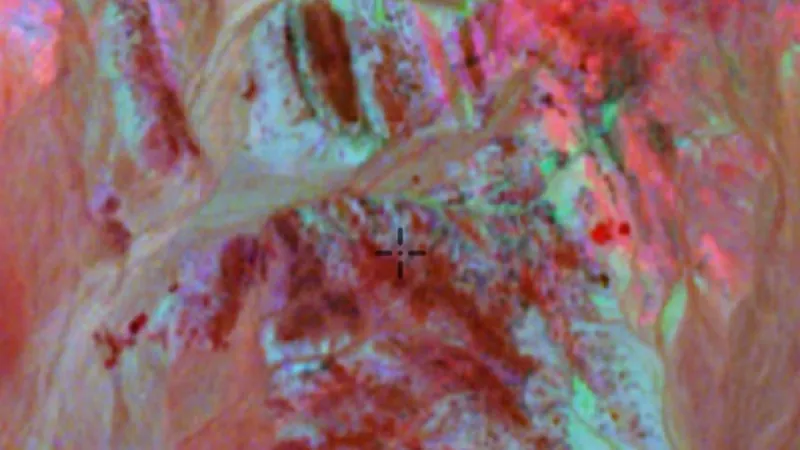
  • Ternary Radiometrics in the Detector Maps app, Western Australia© Mapbox, © Maxar
    GeophysicsExplorer

    Ternary Radiometrics

    Radiometric surveys measure natural radiation associated with minerals near the ground surface.

    Also in 1 other state in Australia
    Read the write-up
    Ternary Radiometrics in the Detector Maps app, Western Australia© Mapbox, © Maxar

    A screen from the Detector Maps app. Satellite imagery © Mapbox, © Maxar.

    Explorer. Opens with Explorer or Pro. On the Free plan it works inside your one free area of 250 km².

    Open in the app

    This layer works the same way in 2 places in Australia, so its full write-up, legend and plan are on one page.

    Read the full write-up

    Source in Western Australia

    This Data is licensed under a CC BY 4.0 International licence by the State of Western Australia (Department of Mines, Petroleum and Exploration) 2026 CC BY 4.0

Prospectivity

1
  • Gold Prospectivity in the Detector Maps app, Western Australia© Mapbox, © Maxar
    ProspectivityExplorer

    Gold Prospectivity

    Modelled prospectivity raster ranking ground by likelihood of hosting gold. Use as a guide, not a guarantee.

    Read the write-up
    Gold Prospectivity in the Detector Maps app, Western Australia© Mapbox, © Maxar

    A screen from the Detector Maps app. Satellite imagery © Mapbox, © Maxar.

    Explorer. Opens with Explorer or Pro. On the Free plan it works inside your one free area of 250 km².

    Open in the app

    About this layer

    Prospectivity highlights areas rated as more favourable for gold using the information behind this map. Use it to narrow your research, then compare geology, samples and past finds. A higher score is a research lead, not proof of gold.

    What it is for

    Use the legend to compare areas, then check geology, known records and access before choosing where to investigate.

    Limits

    A higher-ranked area is a research lead, not a guaranteed find. A lower-ranked or blank area does not prove an absence of gold.

    Source

    This Data is licensed under a CC BY 4.0 International licence by the State of Western Australia (Department of Mines, Petroleum and Exploration) 2026 CC BY 4.0

Basemap

2
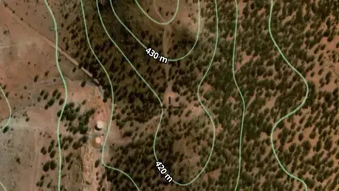
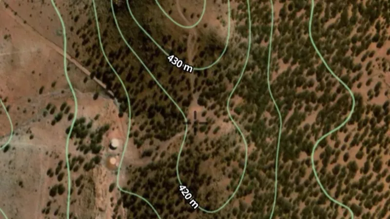
  • Contours in the Detector Maps app, Western Australia© Mapbox, © Maxar
    BasemapExplorer

    Contours

    Lines of equal elevation showing slope and terrain shape.

    Also in 1 other state in Australia
    Read the write-up
    Contours in the Detector Maps app, Western Australia© Mapbox, © Maxar

    A screen from the Detector Maps app. Satellite imagery © Mapbox, © Maxar.

    Explorer. Opens with Explorer or Pro. On the Free plan it works inside your one free area of 250 km².

    Open in the app

    This layer works the same way in 2 places in Australia, so its full write-up, legend and plan are on one page.

    Read the full write-up

    Source in Western Australia

    This Data is licensed under a CC BY 4.0 International licence by the State of Western Australia (Department of Mines, Petroleum and Exploration) 2026 CC BY 4.0

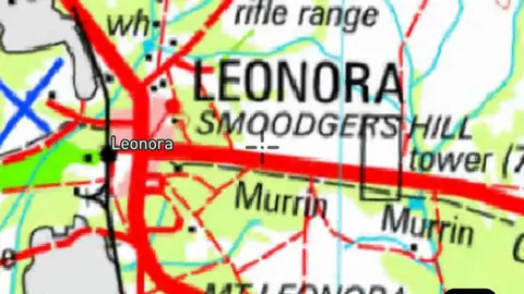
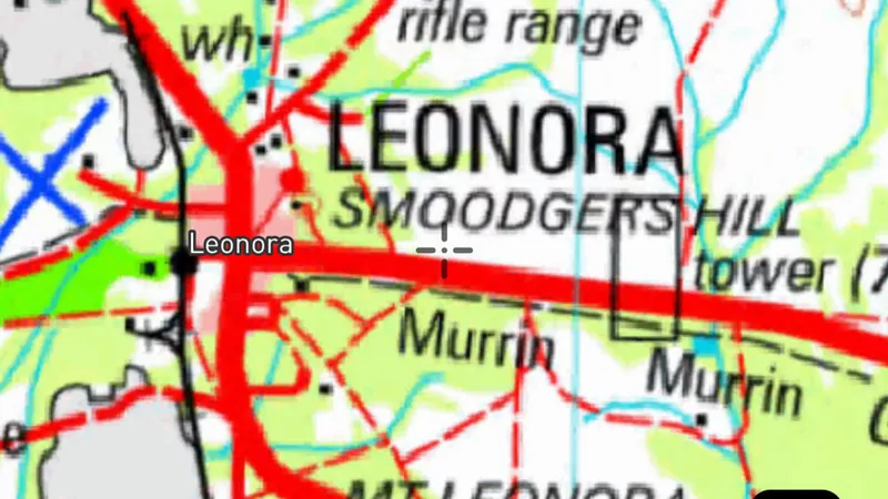
  • Topography in the Detector Maps app, Western Australia© Mapbox, © Maxar
    BasemapExplorer

    Topography

    Statewide topographic map for planning and navigation.

    Read the write-up
    Topography in the Detector Maps app, Western Australia© Mapbox, © Maxar

    A screen from the Detector Maps app. Satellite imagery © Mapbox, © Maxar.

    Explorer. Opens with Explorer or Pro. On the Free plan it works inside your one free area of 250 km².

    Open in the app

    About this layer

    Topographic maps show the shape of the land alongside mapped features such as waterways, roads and place names. They help you orient yourself and plan a route. Features reflect the map data and may differ from current conditions.

    What it is for

    Compare the basemap with the layers you are researching. Adjust overlay opacity when you need to see both together.

    Limits

    Imagery and mapped features may be from different dates. Small details and current ground conditions may differ.

    Source

    This Data is licensed under a CC BY 4.0 International licence by the State of Western Australia (Department of Mines, Petroleum and Exploration) 2026 CC BY 4.0

    Draws from zoom 6.5.

All Mineral Occurrences
1
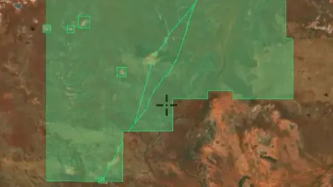
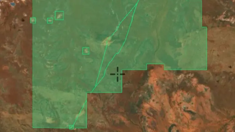
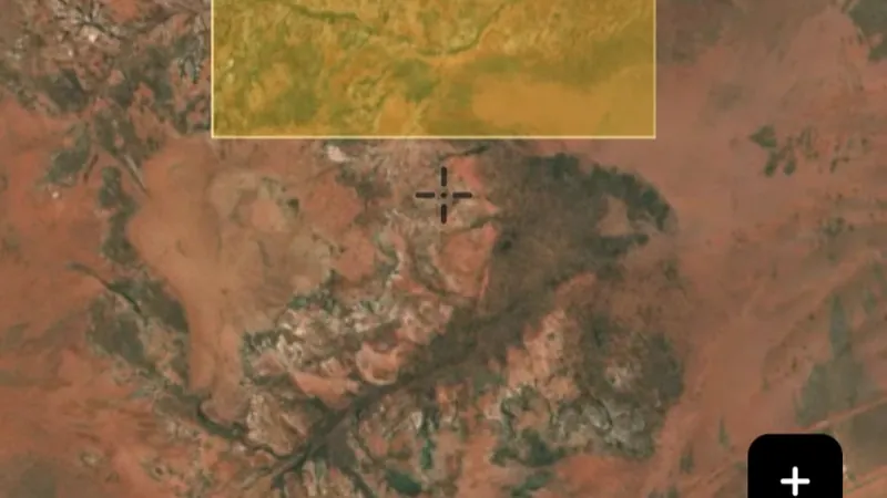
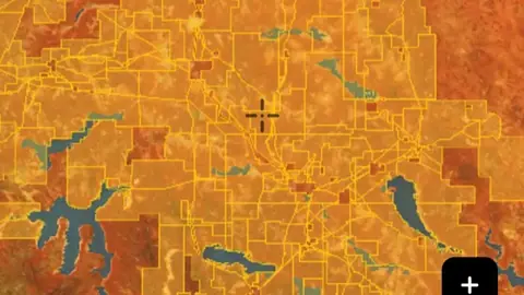
  • All Mineral Occurrences in Western Australia, drawn over satellite imagery© Mapbox, © Maxar
    All Mineral OccurrencesPro

    All Mineral Occurrences
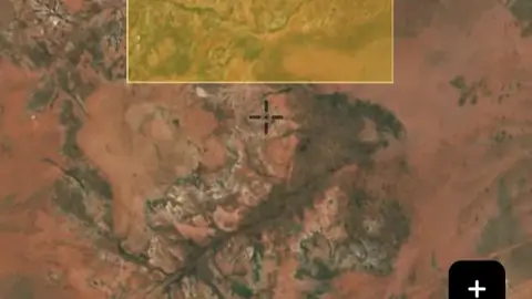
    Official records of mineral occurrences for every commodity, not just gold. Use the commodity filter to show a single commodity.
    Also in 6 other states in Australia
    Read the write-up
    All Mineral Occurrences in Western Australia, drawn over satellite imagery© Mapbox, © Maxar
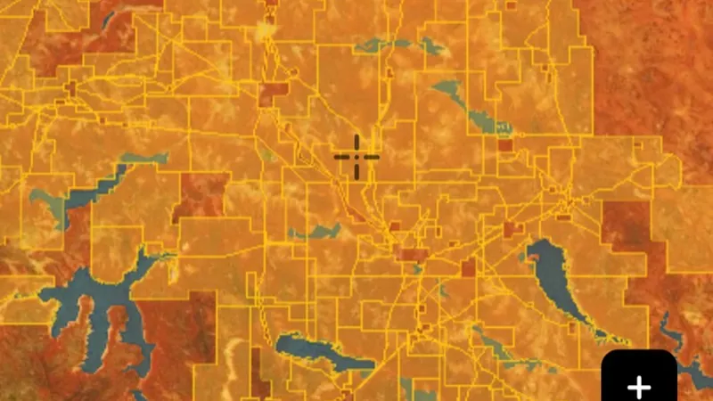
    The layer drawn over satellite imagery. Satellite imagery © Mapbox, © Maxar.

    Pro. Opens with Pro.

    Open in the app

    This layer works the same way in 7 places in Australia, so its full write-up, legend and plan are on one page.

    Read the full write-up

    Source in Western Australia

    This Data is licensed under a CC BY 4.0 International licence by the State of Western Australia (Department of Mines, Petroleum and Exploration) 2026 CC BY 4.0

    Filters in the app

    Attribute filters
Sources

Where the data comes from.

Every card names its source. The sources named on this page are:

  • This Data is licensed under a CC BY 4.0 International licence by the State of Western Australia (Department of Mines, Petroleum and Exploration) 2026 CC BY 4.0
  • Geoscience Australia DEA Hotspots

Satellite imagery © Mapbox, © Maxar. Layer data from the sources named on each card.

Plans

What the pills mean.

Every layer shows the plan that opens it. The free plan never runs out. Prices are shown once, here.

Free

Open on every plan, forever. Includes gold records.

Explorer

Opens every base layer, and offline maps for the areas you choose. A$99 a year or A$9.99 a month.

Pro

Tenement alerts for a drawn area or a whole state. Report search across decades of exploration reports. A$249 a year or A$34.99 a month.

Add-on

A layer sold on its own: the Victorian LiDAR add-on, A$39.99 a year.

7-day free trial on yearly plans · Nothing charged until it ends · Cancel anytime.

Satellite imagery © Mapbox, © Maxar. Layer data from the sources named on each card.

Get Detector Maps

Plan the next trip tonight.

Free to download on iPhone and Android.

On iPhone? Get it on the App StoreOn Android? Get it on Google Play

Free to download on iPhone and Android.

7-day free trial on yearly plans · Nothing charged until it ends · Cancel anytime.

Scan with your phone camera to get the app
Start free trialOpen the web map

On your phone: App Store · Google Play

7-day free trial on yearly plans · Nothing charged until it ends · Cancel anytime.

Or open the web map

The Detector Maps support inbox is staffed by Matt and Tom, the two brothers who built it. Contact us

Scan with your phone camera to get the app