Start free trial

Start free for 3 days on any yearly plan — nothing charged until the trial ends.

Open the map

Alabama · Gold Maps

The Alabama Gold Prospecting Map: Read the Piedmont Belt Before You Knock on a Door

A 100-mile Piedmont gold belt cuts across eastern Alabama, from Hog Mountain to Goldville to Arbacoochee. The catch: most of it is somebody's back forty. We map the gold AND the parcel lines, so you know where to look — and whose gate to knock on first. Prospect smarter, not harder.

Start Free Trial

Gold in Alabama

The Piedmont gold belt — Alabama's forgotten branch of the Southern goldfield. Alabama's gold doesn't sit out West on open BLM ground. It rides the Piedmont Uplift, a metamorphic belt that crosses the Georgia line into the state's eastern hill country and trends roughly 100 miles toward central Alabama — a band perhaps 50-60 miles wide. This is the western tail of the same southern Appalachian gold province that lit up Georgia and the Carolinas, but Alabama's chapter stayed small, rural, and largely forgotten. That obscurity is the opportunity: low claim awareness, low competition, and creeks that have barely been re-worked in 80 years.

Lode vs placer — both are here, and the distinction sets your method. The belt carries hard-rock (lode) gold in the schists and quartz veins of the Piedmont, plus placer gold concentrated downstream in creek gravels, inside bends, and bedrock crevices. Lode districts mean you're reading geology and old mine symbols; placer districts mean you're reading drainages and gravel bars with a pan.

The signature districts: - Hog Mountain District (Tallapoosa County) — the single largest producer, a lode district that yielded roughly 25,000 ounces, about half of Alabama's total recorded gold. Worked on and off from the 1839 discovery through the 1930s. This is the anchor of the belt. - Goldville & Eagle Creek (Tallapoosa County) — Goldville was founded in 1842 and briefly swelled to thousands of residents during Alabama's 1840s rush. The surrounding creeks near Goldville still hold workable placer. - Arbacoochee & Chulafinnee (Cleburne County) — twin districts in the northeast, carrying both placer and lode; Arbacoochee was one of the busier diggings of the rush era. Chulafinnee Creek and its tributaries are classic placer ground.

DailyBLM mining claims refreshed from the federal record
USGSGold occurrences, mines & prospects mapped
1-metreBare-earth LiDAR hillshade where coverage exists
41 layersClaims, geochem, geology & access — one subscription
01Can I dig here?

First, find open ground.

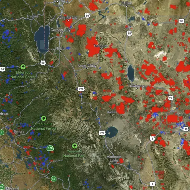
Every claim, colour-coded

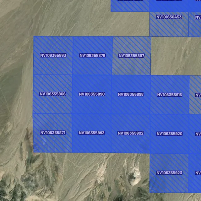
Active placer and lode claims on federal land, styled apart and linked to the official BLM record — so you know what's open before you drive.
Placer claims

Alluvial-gold claims.
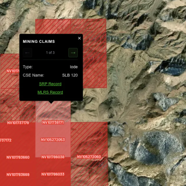
Lode claims

Hard-rock claims.
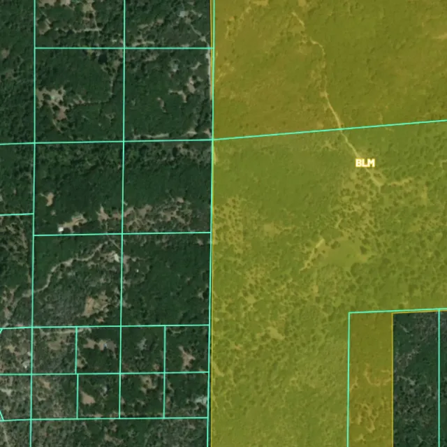
Land ownership

Public vs private.
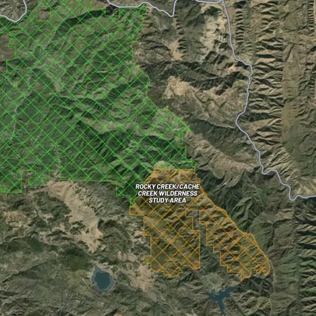
Protected areas

Off-limits ground.

02Where's the gold?

Go where the data points.

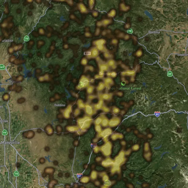
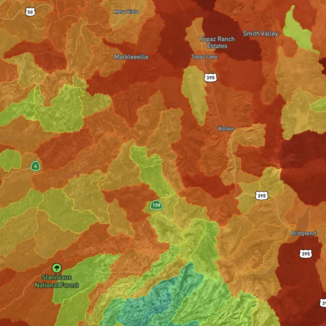
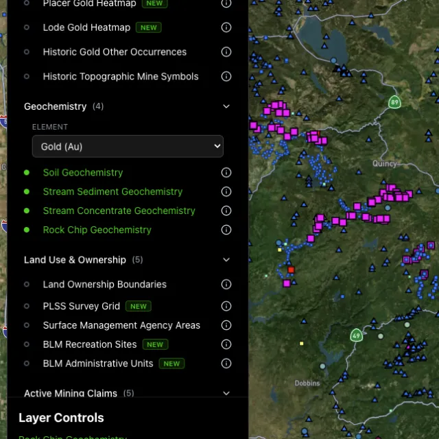
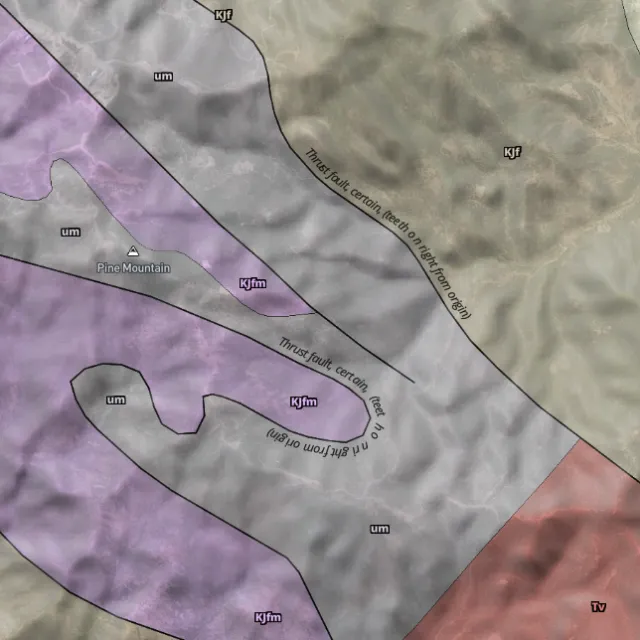
Prospectivity, scored

Placer and lode heatmaps built from decades of occurrences, geochemistry and geology — read the hottest ground first, then ground-truth it.
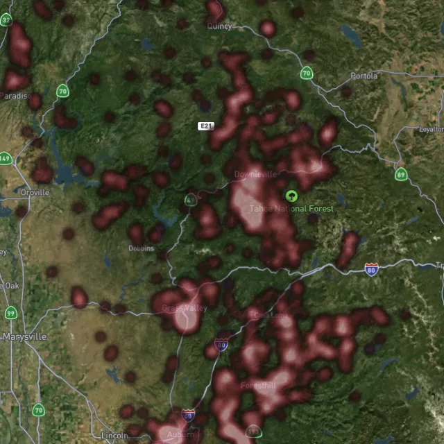
Lode heatmap

Reef prospectivity.
Prospectivity index

Catchments ranked.
Surface geochem

Soil, stream, pathfinders.
Bedrock geology

Read the host rocks.

03The edge

See the ground the brush hides.

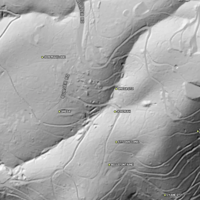
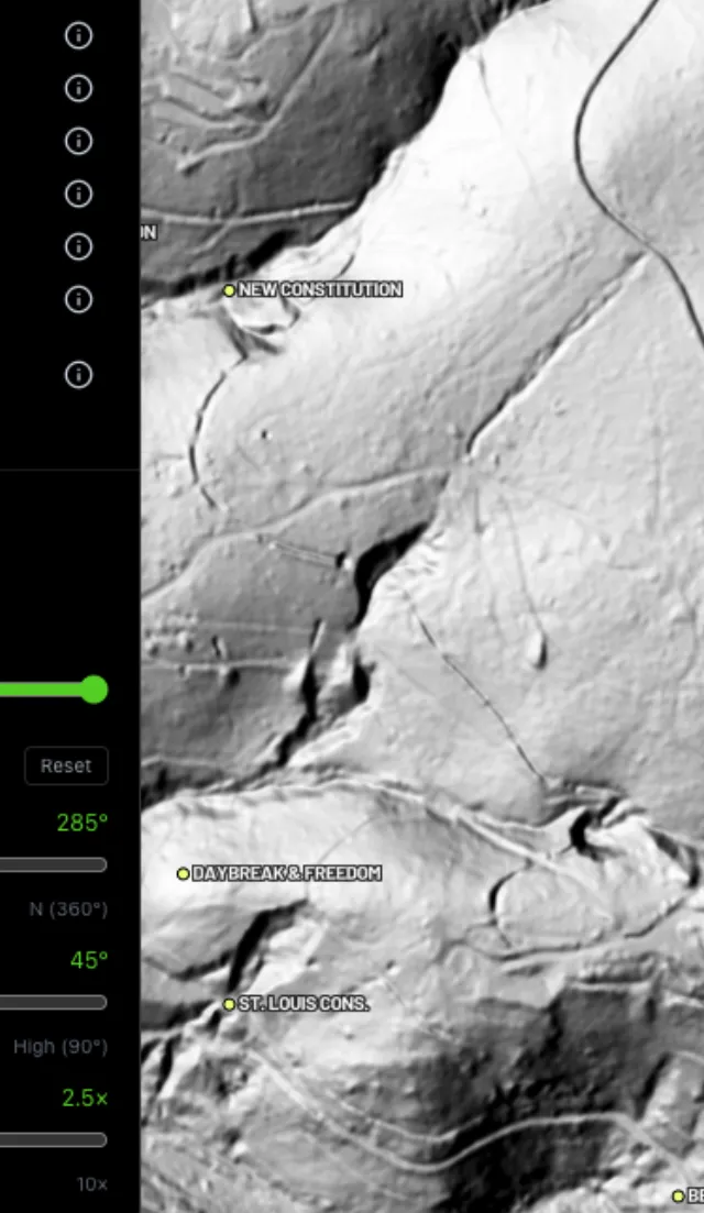
1-metre bare-earth LiDAR

Strip away the canopy and old workings, benches and water-races jump out — rendered from any light angle, tinted by slope or elevation.
Hillshade renders

Light it any way.
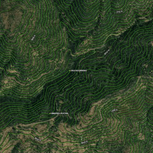
Contours

Read the gradient.
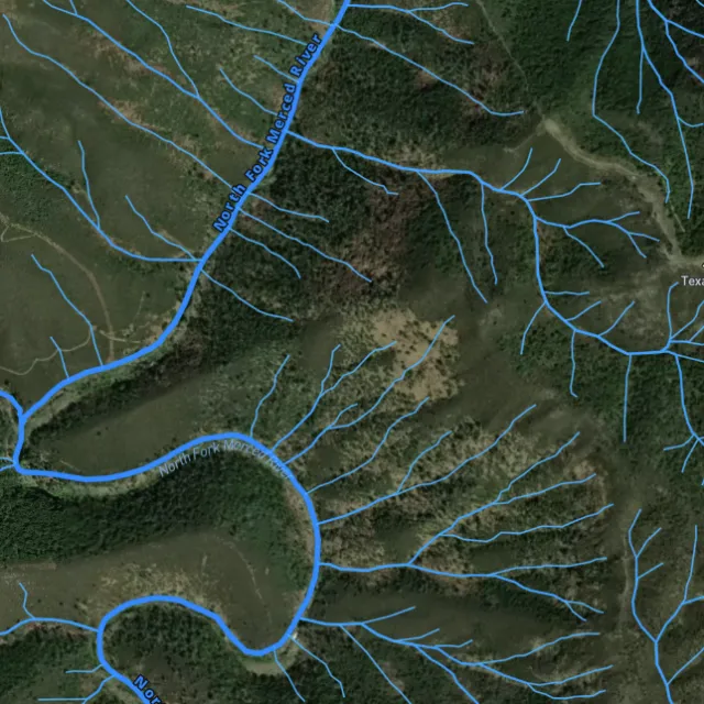
Watercourses

Where placer runs.
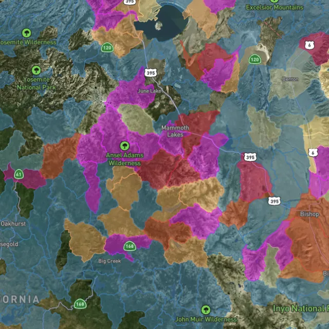
Catchment index

Whole gullies scored.

04Stay legal

Know it's open before you swing.

Public, private, or off-limits

Surface-management agencies, land ownership, the PLSS grid and the roads to reach them — prospect legal, accessible public ground. A guide, not legal advice.
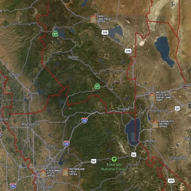
BLM land

Managed public ground.
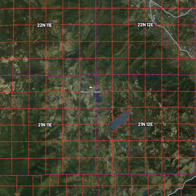
PLSS sections

Township / range / section.
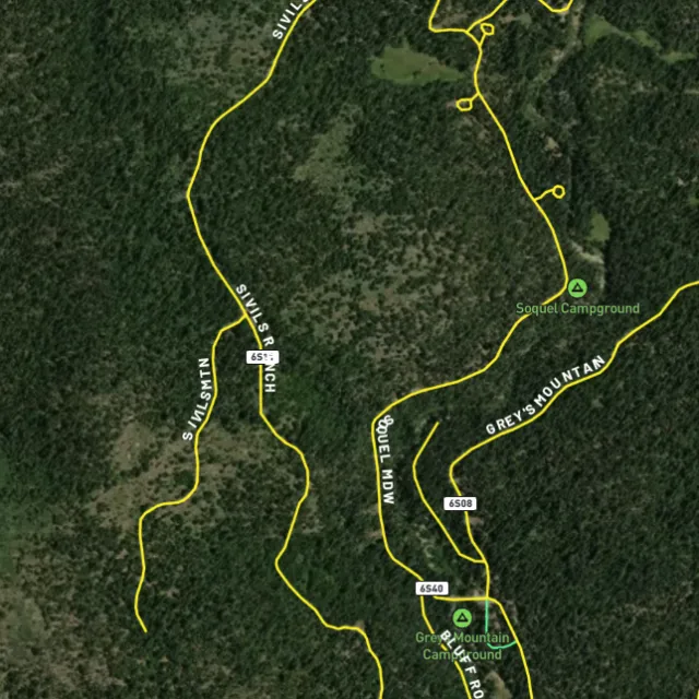
MVUM roads

What you can drive.

Protected areas

Avoid these.

Stop guessing. Start finding.

Every claim, every layer, every gold-bearing state — on one map you can take off-grid.

Start free trial

3-day free trial · Nothing charged until it ends · Cancel anytime

Alabama FAQ

Your Alabama gold questions, answered.

If yours isn’t here, email [email protected] — we read every one.

Start free for 3 days on any yearly plan — nothing charged until the trial ends.

Yes. Gold has been found in Alabama’s eastern Piedmont gold belt, mostly in Tallapoosa, Clay, Cleburne, Coosa, and Randolph counties. The best-known ground is the Goldville district and Hog Mountain in Tallapoosa County, which saw lode and placer mining from the 1830s onward. Production has always been modest compared with western states, but it’s a real, historically proven gold region.

Most documented gold lies along the Piedmont belt across Tallapoosa, Clay, Cleburne, Coosa, and Randolph counties, around districts like Goldville and Hog Mountain, where creeks draining the old workings have produced fine placer gold. Much of east-central Alabama is privately owned, so always get landowner permission before prospecting, and look for open public land such as parts of the Talladega National Forest where prospecting is allowed. Before working any spot, confirm there’s no valid mining claim over it by checking current BLM claim records (LR2000/MLRS).

On private land you need the landowner’s permission, and on public land you should confirm the ground isn’t already covered by someone else’s valid mining claim. Casual hand panning and detecting differ from staking a claim or running any mechanized or commercial operation, which can trigger filings and permits. Check current claim status through the BLM (LR2000/MLRS) and confirm the rules for your specific area with the managing agency, such as the U.S. Forest Service for the Talladega National Forest, and with the relevant Alabama state authorities before you dig.

In general, recreational gold panning and metal detecting are allowed on open public land where no valid mining claim exists and you follow the managing agency’s rules. Rules differ by land manager and by site: national forest land, state parks, and private property each have their own conditions, and many parks and forests restrict or prohibit digging, dredging, or detecting. Always get permission on private land, confirm claim status through the BLM, and check the specific agency’s current regulations before you start.

Detector Maps overlays the data that matters for the Piedmont gold belt: active BLM mining claims so you can see what’s already taken, BLM and USFS public-land boundaries (including Talladega National Forest ground), and USGS MRDS gold and mineral occurrences pinpointing documented sites around Goldville, Hog Mountain, and the surrounding counties. You also get USGS bedrock geology and surface geochemistry to read the gold-bearing belt, plus roads and access, contours, and watercourses to plan a trip. You can georeference your own maps, download areas for fully offline use, and Pro members get daily claim-drop alerts.