Detector Maps
Start free for 3 days on any yearly plan — nothing charged until the trial ends.
Open the mapIdaho · Gold Maps
From the Boise Basin diggings to the Salmon River bars and the Clearwater placers, Idaho buried its richest creeks inside seven national forests. We put the BLM claims, USGS occurrences, geochem and bare-earth LiDAR on one map so you stop driving to staked ground. Prospect smarter, not harder.
Start Free TrialThe core story — a public-land state with the gold locked in forest creeks. Idaho is roughly 62% federally owned, and its seven national forests cover close to 40% of the state — the highest national-forest share of any state in the country. For a prospector that cuts both ways: enormous legal access to mineral-bearing ground, but the productive water is concentrated in steep, timbered, road-poor country where the difference between "open" and "actively claimed" is the whole game.
The signature districts (anchor facts): - Boise Basin (Centerville, Idaho City, Placerville, Pioneerville) — the heavyweight. Discovered 1862, it produced an estimated ~3.3 million ounces, most of it placer — the richest single basin in the state and one of the great inland placer rushes of the West. - Salmon River country — placer bars along the main Salmon and its tributaries; classic fine-gold and bar-deposit ground, much of it remote and float-access. - Clearwater drainage — Pierce (Idaho's first 1860 strike) and the Elk City district; placer creeks that opened the panhandle. - Snake River — long, low-grade flour-gold bars worked from the territorial era onward; a different recovery problem than the coarse basin gold. - Florence & Warren — high, isolated districts north of the Salmon; Florence yielded ~1 million oz placer, Warren ~$15M before 1900, both legendary for early per-day rocker recoveries.
Placer vs. lode: Idaho's romance is placer (basin gravels, river bars, ancient channels), but the lode story is real and ongoing — the Atlanta, Silver City, and the broad Idaho Batholith / "gold belt" host hardrock sources that feed the placers. The Idaho Batholith is the geologic spine to anchor the geology copy on.

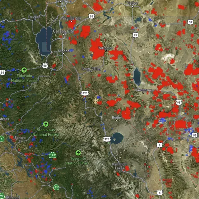
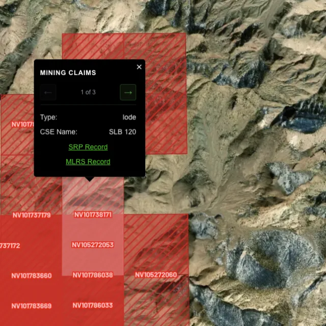
Active placer and lode claims on federal land, styled apart and linked to the official BLM record — so you know what's open before you drive.
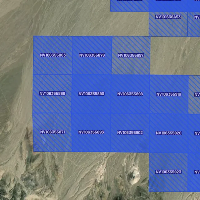
Alluvial-gold claims.

Hard-rock claims.

Public vs private.

Off-limits ground.

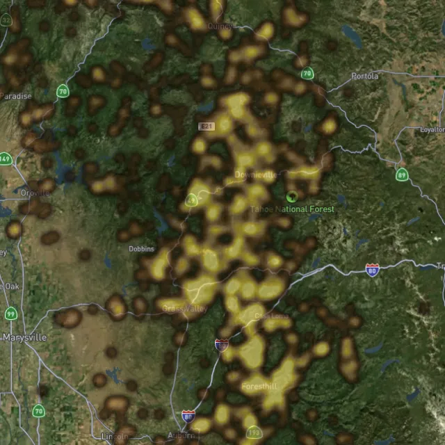
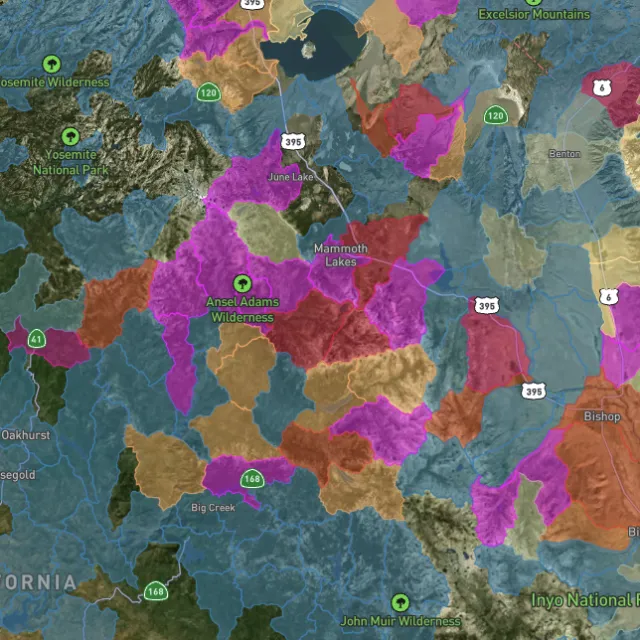
Placer and lode heatmaps built from decades of occurrences, geochemistry and geology — read the hottest ground first, then ground-truth it.
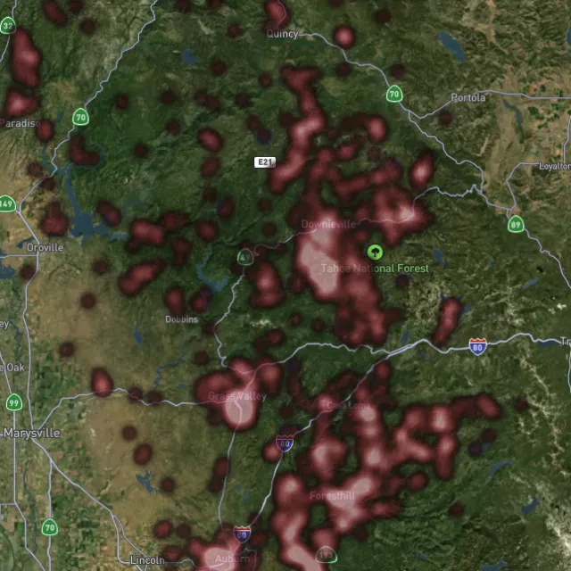
Reef prospectivity.

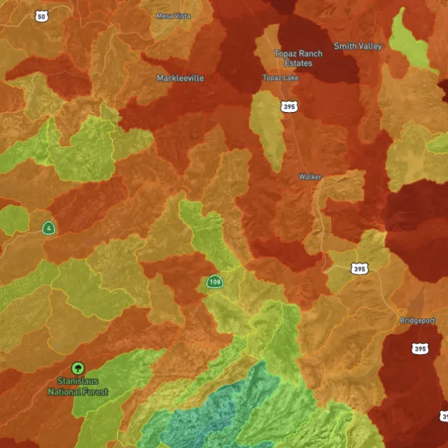
Catchments ranked.

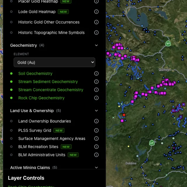
Soil, stream, pathfinders.

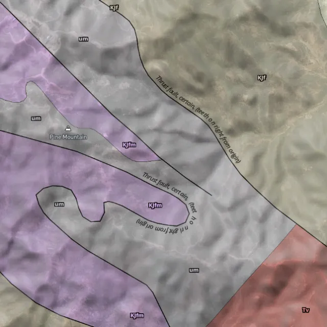
Read the host rocks.

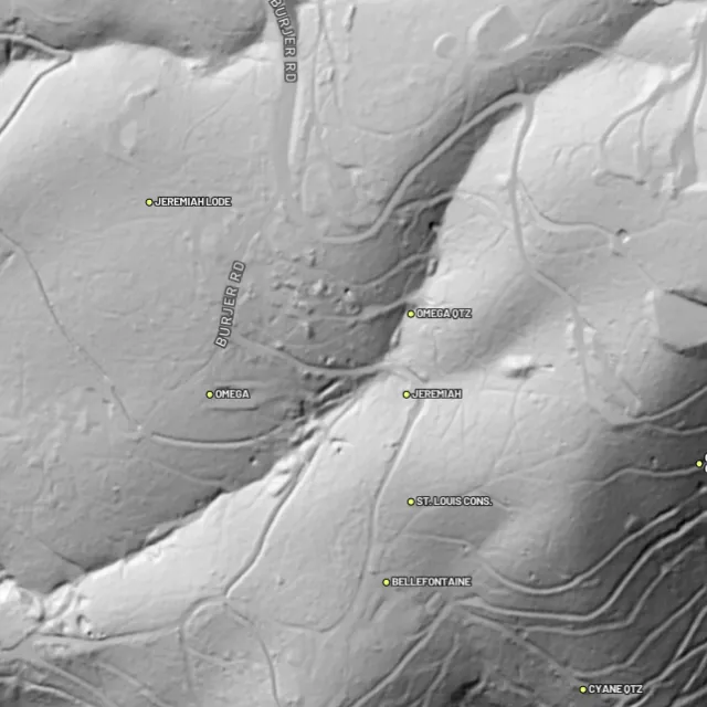
Strip away the canopy and old workings, benches and water-races jump out — rendered from any light angle, tinted by slope or elevation.
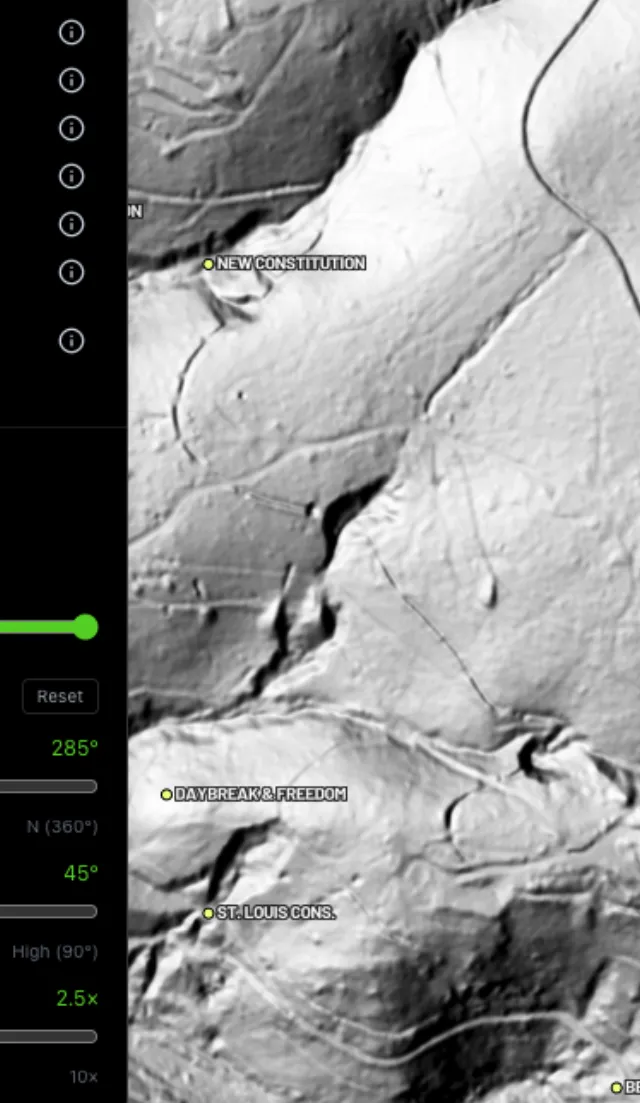
Light it any way.

Read the gradient.

Where placer runs.

Whole gullies scored.

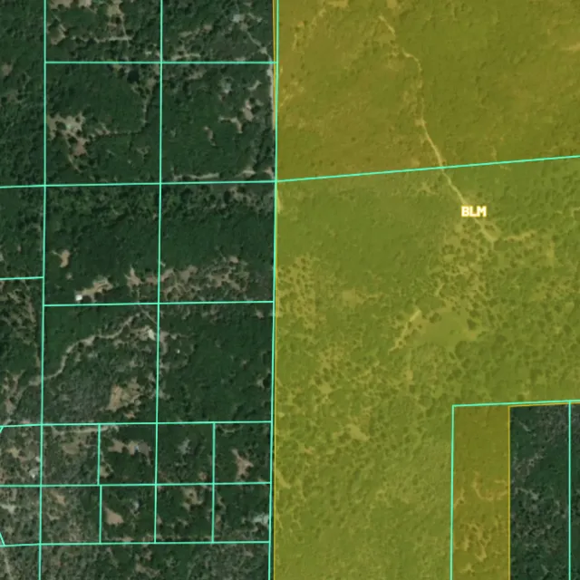
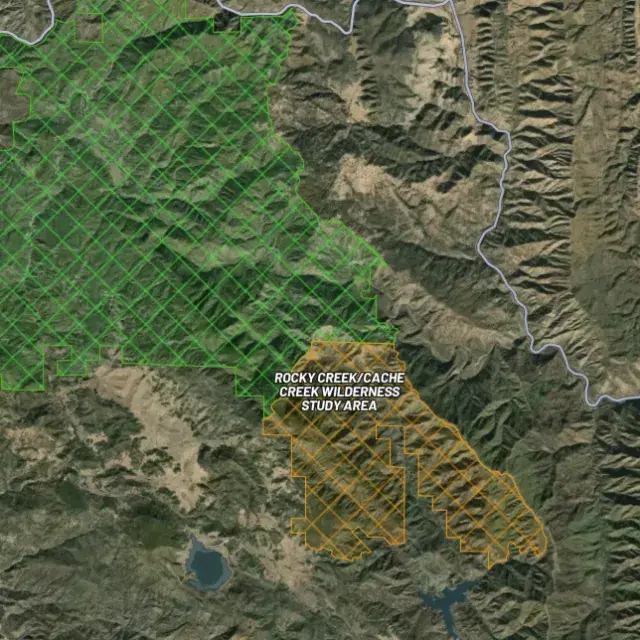
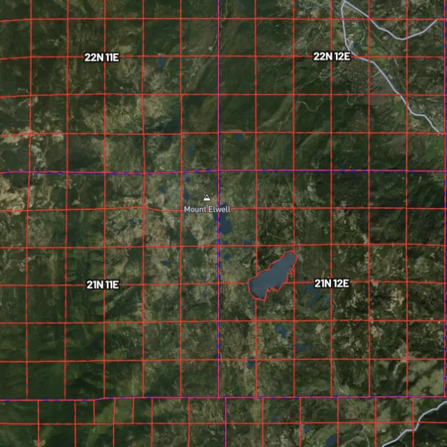
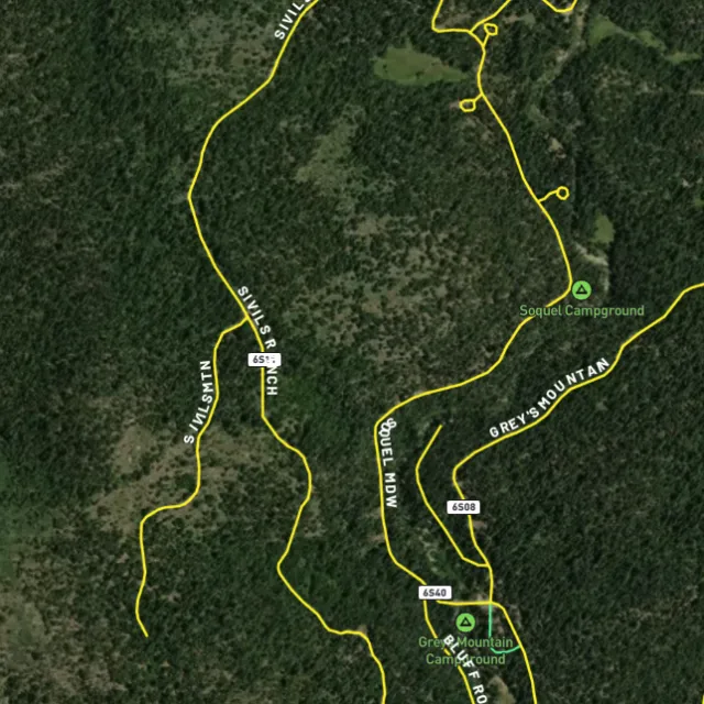
Surface-management agencies, land ownership, the PLSS grid and the roads to reach them — prospect legal, accessible public ground. A guide, not legal advice.
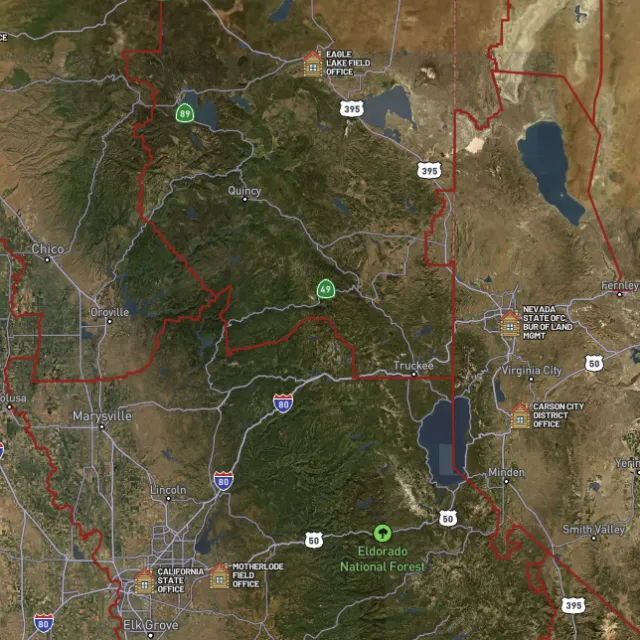
Managed public ground.

Township / range / section.

What you can drive.

Avoid these.
Every claim, every layer, every gold-bearing state — on one map you can take off-grid.
3-day free trial · Nothing charged until it ends · Cancel anytime
Idaho FAQ
If yours isn’t here, email [email protected] — we read every one.
Start free for 3 days on any yearly plan — nothing charged until the trial ends.
Yes. Idaho has a deep placer-mining history, and gold has been found across much of the state. The Boise Basin around Idaho City (including Grimes Creek, Mores Creek, Placerville, Pioneerville and Centerville) was the richest single district, and there were major strikes along the Salmon River, in the Clearwater country, and around Pierce, where Idaho’s 1860 gold rush began. That makes Idaho genuinely proven ground for prospectors who do their homework.
Idaho is mostly public land, with large stretches of BLM and US Forest Service ground in the central mountains, so there is a lot of legally accessible country to explore. Historically productive areas include the Boise Basin near Idaho City, the South Fork Clearwater, the Salmon River drainages and the Pierce district. Before you dig, always confirm an area isn’t covered by a valid mining claim, since active claims sit on top of public land and aren’t obvious on the ground.
For casual hand panning on open public land where no valid claim exists, you generally don’t need to stake a claim, but you should still check current claim status first. Motorized methods are different: suction-dredge and similar recreational placer work in Idaho typically involve permitting (commonly a stream channel alteration permit from the Idaho Department of Water Resources plus water-quality coverage from DEQ), and some waters are restricted to protect fish. Verify current rules with the BLM (claim status via LR2000/MLRS) and the Idaho Department of Lands / Department of Water Resources before you start.
Recreational panning and metal detecting are generally allowed on open public land (BLM and USFS) in Idaho where no valid claim exists and you follow the managing agency’s rules. The key Idaho-specific point is equipment: hand tools and basic panning are treated as recreational, while suction dredging and similar motorized methods involve permits and some waters are restricted to protect fish. Stay off private land and patented claims without permission, and check current BLM claim status and Idaho state regulations for the specific spot you have in mind.
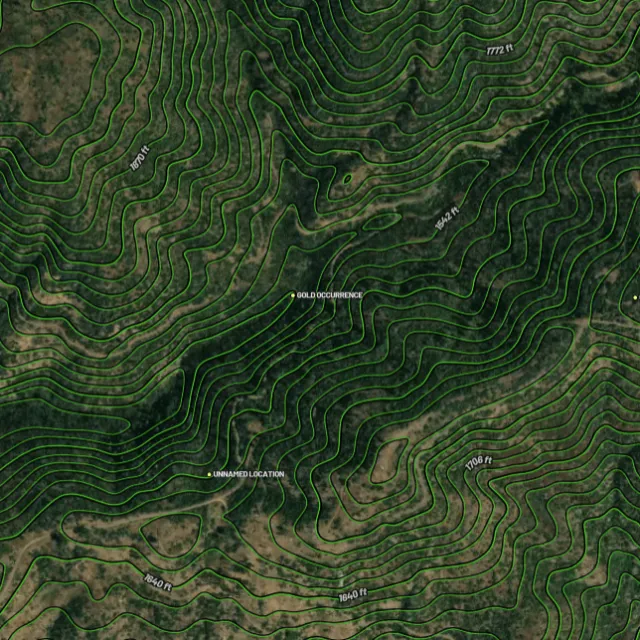
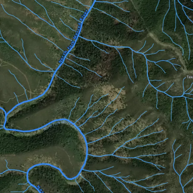
For Idaho, Detector Maps overlays active BLM mining claims, BLM and Forest Service public-land boundaries, and USGS MRDS gold and mineral occurrences so you can line up known mineralization with where you’re actually allowed to go. You also get bedrock geology, surface geochemistry, roads and access, contours and watercourses, plus tools to georeference your own maps, download areas for fully offline use, and follow community maps and daily claim-drop alerts. Coverage and data density vary by area in Idaho, so check the individual layers for your spot rather than assuming every district is fully mapped.
Prospect smarter, not harder. .
Trip reports, layer updates, the occasional gold-find email. No spam.
© 2026 Gold Discovery Solutions Pty Ltd