Detector Maps
Start free for 3 days on any yearly plan — nothing charged until the trial ends.
Open the mapNew Mexico · Gold Maps
From the Ortiz dry placers south of Santa Fe to Hillsboro's desert gulches, the data that built New Mexico's mineral belt is scattered across a dozen federal databases. We put every layer — BLM claims, USGS occurrences, LiDAR, geochemistry — on one map. Prospect smarter, not harder.
Start Free TrialThe belt, not a blob. New Mexico's gold doesn't sit in one corner — it traces a diagonal mineral belt roughly 50–100 miles wide running from Hidalgo County in the far southwest northeast to Colfax County, a span of. This linear structure is the single most important geographic fact about prospecting the state, and it should anchor every map view.
The four 100,000-oz placer districts (well-established, lead with these): - Old Placers (Ortiz Mountains, Santa Fe County) — placer gold found 1828, one of the earliest gold rushes in the American West, predating California by two decades. Camps at Dolores/Ortiz. - New Placers (San Pedro Mountains) — discovered 1839, richer than the Old Placers; camps of San Pedro, Golden, Tuerto. Old + New Placers together produced. - Elizabethtown–Baldy (Moreno Valley, Colfax County) — 1866 placer discovery on the west slopes of Mount Baldy; Grouse, Humbug and Pine Gulches, Spanish Bar, and the Moreno River Valley sediments. Famous for large nuggets;. - Hillsboro (Sierra County) — 1877 placers and gold-quartz veins in the Las Animas Hills; classic dry placers worked by dry-land dredges and dry-washing.
Supporting districts: Pinos Altos (Grant County, both placer and lode found 1860; Bear Creek the richest placer ground) and Mogollon (lode gold-silver, Silver Creek Canyon). Grant County alone produced ~501,000 oz total through 1959, much of it byproduct base-metal gold from 1912 onward.

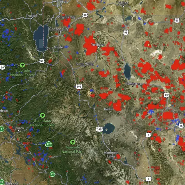
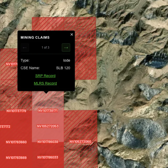
Active placer and lode claims on federal land, styled apart and linked to the official BLM record — so you know what's open before you drive.
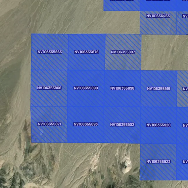
Alluvial-gold claims.

Hard-rock claims.

Public vs private.

Off-limits ground.

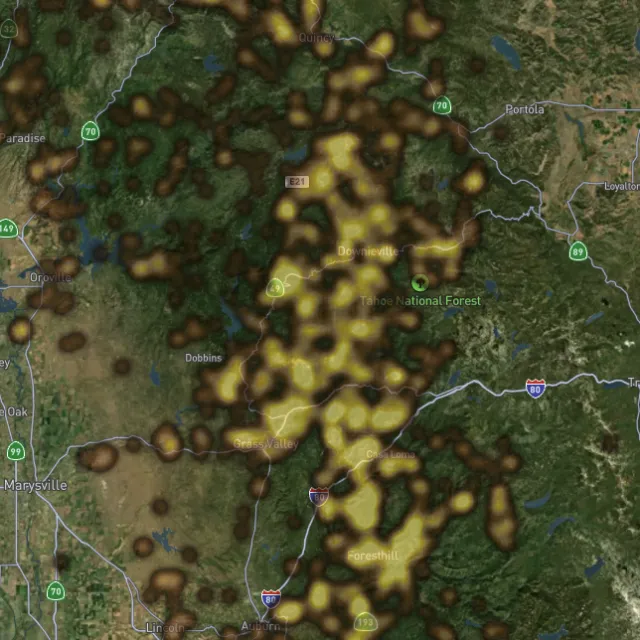
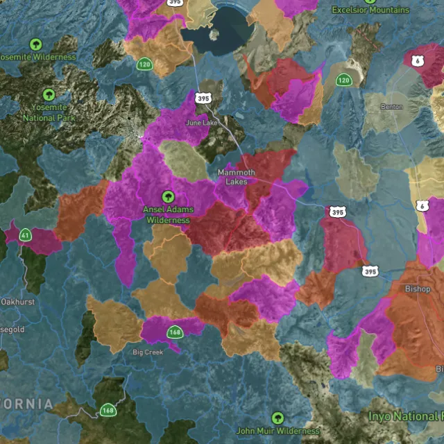
Placer and lode heatmaps built from decades of occurrences, geochemistry and geology — read the hottest ground first, then ground-truth it.
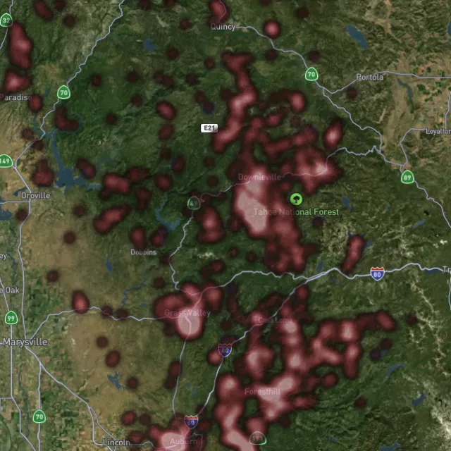
Reef prospectivity.

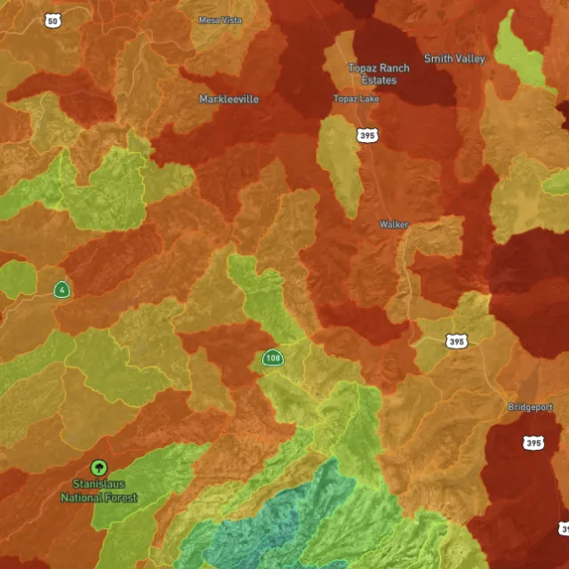
Catchments ranked.

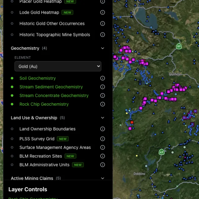
Soil, stream, pathfinders.

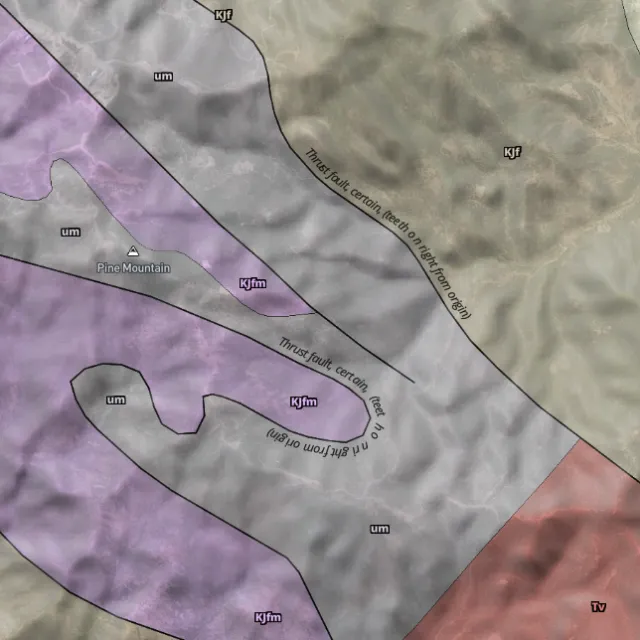
Read the host rocks.

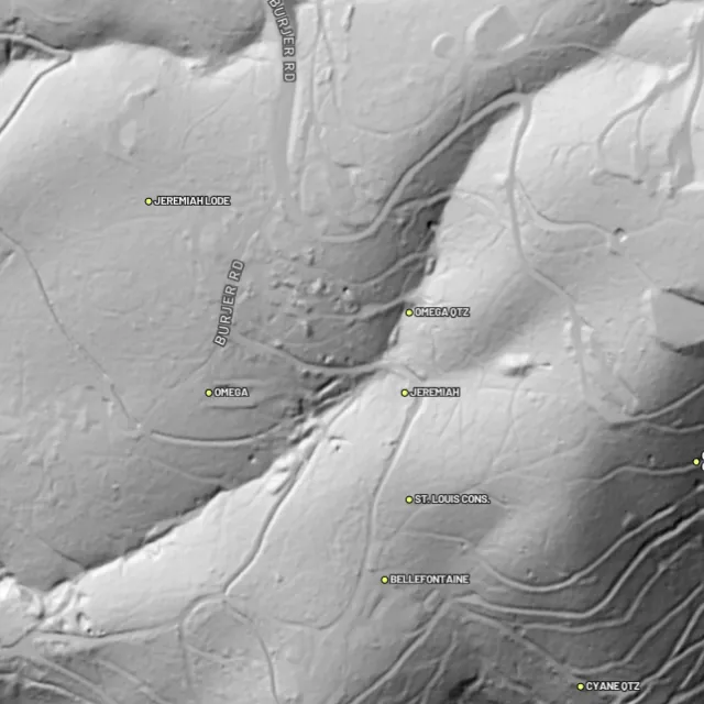
Strip away the canopy and old workings, benches and water-races jump out — rendered from any light angle, tinted by slope or elevation.
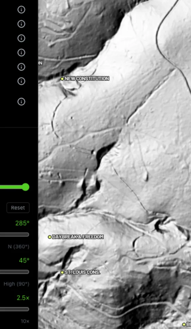
Light it any way.

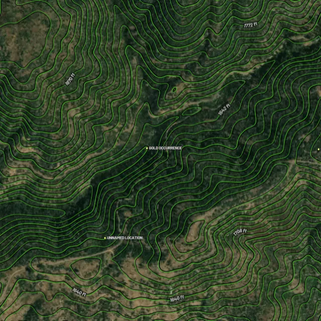
Read the gradient.

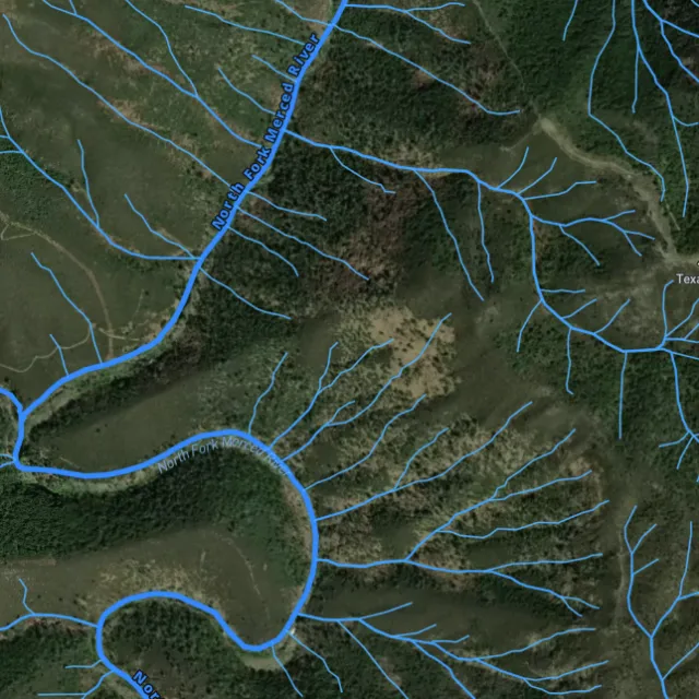
Where placer runs.

Whole gullies scored.

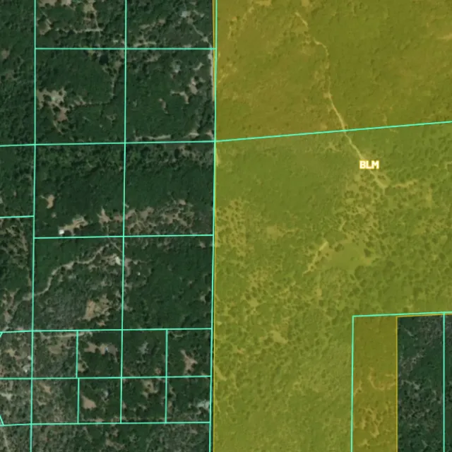
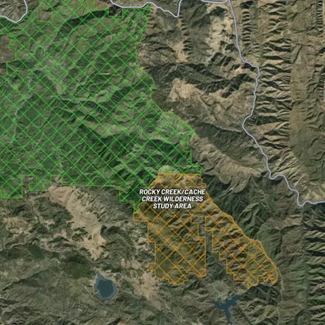
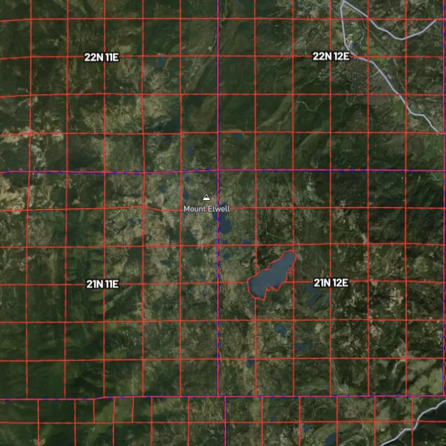
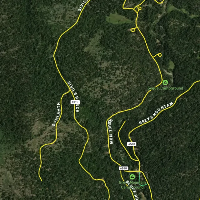
Surface-management agencies, land ownership, the PLSS grid and the roads to reach them — prospect legal, accessible public ground. A guide, not legal advice.
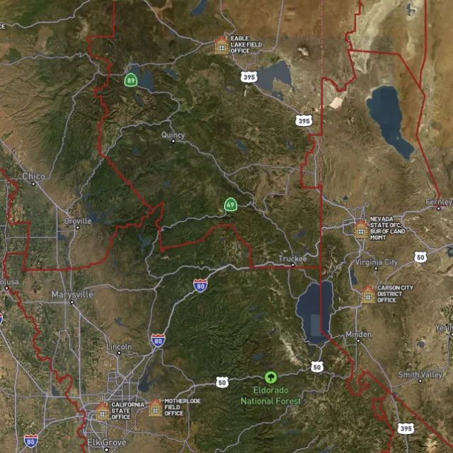
Managed public ground.

Township / range / section.

What you can drive.

Avoid these.
Every claim, every layer, every gold-bearing state — on one map you can take off-grid.
3-day free trial · Nothing charged until it ends · Cancel anytime
New Mexico FAQ
If yours isn’t here, email [email protected] — we read every one.
Start free for 3 days on any yearly plan — nothing charged until the trial ends.
Yes, gold has been found across New Mexico, much of it as lode and placer gold tied to the state’s old mining districts. Historic gold-producing areas include the Ortiz and New Placers districts around Golden and the Cerrillos hills, Elizabethtown and the Moreno Valley near the Sangre de Cristos, the Hillsboro district in the Black Range, and Pinos Altos near Silver City. New Mexico is also known for dry-placer ground, where gold occurs in arid washes and gravels rather than active streams.
Prospecting generally focuses on the historic districts and the public land around them, including BLM and Forest Service ground in the Ortiz/New Placers area near Golden, the Moreno Valley near Elizabethtown, the Hillsboro district, and the Pinos Altos area. New Mexico is a patchwork of public and private land, so a lot of old goldfield ground is privately held or sits under valid mining claims. Before you dig, confirm the land is open public land and check current BLM claim status (MLRS/LR2000), since you cannot prospect on someone else’s active claim or on private land without permission.
For casual recreational prospecting on open public land, you generally do not need to stake a claim, but you do need to make sure no valid existing claim covers the ground and stay within the managing agency’s rules. To hold the rights to a specific deposit, or to use any mechanized or larger-scale equipment, you typically need a mining claim and the appropriate authorizations. Check claim status and locating rules with the BLM (MLRS), confirm the rules for the specific Forest or BLM unit you’re on, and check New Mexico’s state regulations for any activity on state trust land. [VERIFY] Equipment/permit thresholds (e.g., suction dredging, motorized equipment) vary by agency and waterway in New Mexico and should be confirmed before use.
In general, recreational gold panning and metal detecting are allowed on open public land such as BLM and Forest Service ground where no valid claim exists and you follow the managing agency’s rules. You should avoid private land without permission, active mining claims, and protected areas like designated wilderness, developed campgrounds, and archaeological or historic sites, where detecting and digging are often restricted. Because rules differ by unit and can change, confirm current regulations with the local BLM or Forest Service office and New Mexico state agencies before you go. [VERIFY] Specific detecting/digging restrictions on New Mexico state, tribal, and protected lands should be confirmed with the relevant agency.
Detector Maps brings New Mexico’s prospecting data into one map: BLM active mining claims so you can see what ground is taken, plus BLM and Forest Service public-land boundaries so you know where you can legally prospect. You also get USGS MRDS gold and mineral occurrences pinpointing documented sites in districts like the Ortiz, Elizabethtown, Hillsboro, and Pinos Altos areas, layered over USGS bedrock geology and surface geochemistry to help you read the ground. Roads and access, contours, and watercourses round it out, and you can georeference your own maps, download areas for fully offline use in the backcountry, and (on Pro) get daily claim-drop alerts when claims open up.
Prospect smarter, not harder. .
Trip reports, layer updates, the occasional gold-find email. No spam.
© 2026 Gold Discovery Solutions Pty Ltd