Start free trial

Start free for 3 days on any yearly plan — nothing charged until the trial ends.

Open the map

South Carolina · Gold Maps

South Carolina Gold Prospecting Map

From the Haile lode trend in Lancaster County to the flour gold in Chesterfield creeks, the Palmetto State's gold sits along one ancient volcanic belt. We layer USGS occurrences, the modern mining-claim record, geochemistry, and — because most of this ground is private — every parcel boundary, so you know where to look and whose door to knock on first.

Start Free Trial

Gold in South Carolina

The belt that defines SC gold. Nearly all of South Carolina's gold lies in the Carolina Slate Belt (the Carolina terrane / Carolina Volcanic Belt) — a band of ~550-million-year-old metavolcanic rock that arcs NE–SW across the Piedmont from Virginia down through the Carolinas into Georgia and Alabama. SC's deposits are overwhelmingly lode/hard-rock (gold locked in volcanogenic and epithermal host rock), with fine "flour" to small-flake placer gold shed into the surrounding creek drainages. This is a fundamentally different beast from the coarse placer of the West — and the page should say so plainly.

The signature districts (anchor the map here): - Haile district, Lancaster County — the Benjamin Haile discovery (~1827, pre-California rush), today the OceanaGold-operated Haile Gold Mine, the largest active gold mine east of the Mississippi. The mine itself is closed to the public, but the surrounding Lancaster drainages still carry placer. - Brewer / Chesterfield County — historic Brewer Mine ground; Nugget Creek noted historically for larger pieces, now mostly placer. - Ridgeway (Fairfield County) and Barite Hill / Dorn (McCormick County) — modern-era producers that reopened/operated 1980s–90s. - Lancaster + Chesterfield = the historically most productive counties; SC's combined mine output ranked 6th in the nation in 1992.

Land reality — this is NOT the public-land West. South Carolina has no BLM-administered public domain and no federal mining-claim/staking system the way Western states do. That makes the "Active Mining Claims" layer thin-to-nonexistent here — and the parcel/ownership and water-access layers the headline act. The one meaningful chunk of open ground is Sumter National Forest (USFS), where recreational hand-panning/sluicing is generally allowed without landowner permission. Everywhere else, the gold is on private land — and in SC, the streambed sediment belongs to the adjoining landowners.

DailyBLM mining claims refreshed from the federal record
USGSGold occurrences, mines & prospects mapped
1-metreBare-earth LiDAR hillshade where coverage exists
41 layersClaims, geochem, geology & access — one subscription
01Can I dig here?

First, find open ground.

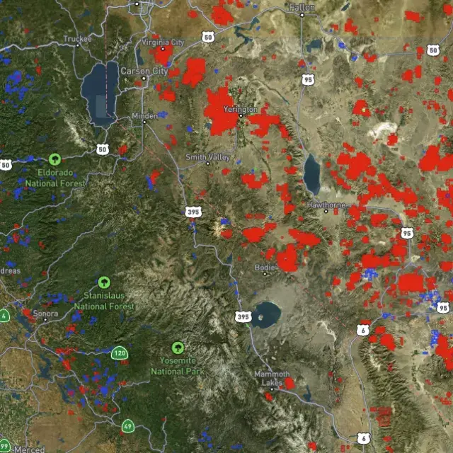
Every claim, colour-coded

Active placer and lode claims on federal land, styled apart and linked to the official BLM record — so you know what's open before you drive.
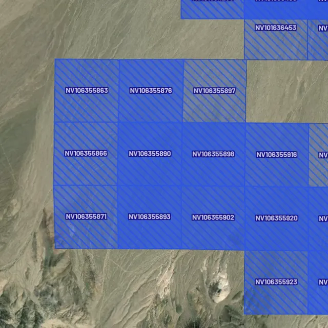
Placer claims

Alluvial-gold claims.
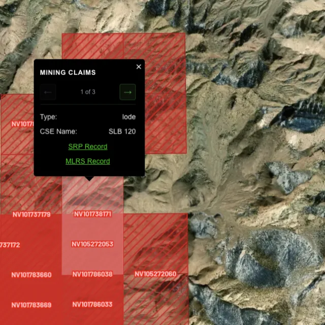
Lode claims

Hard-rock claims.
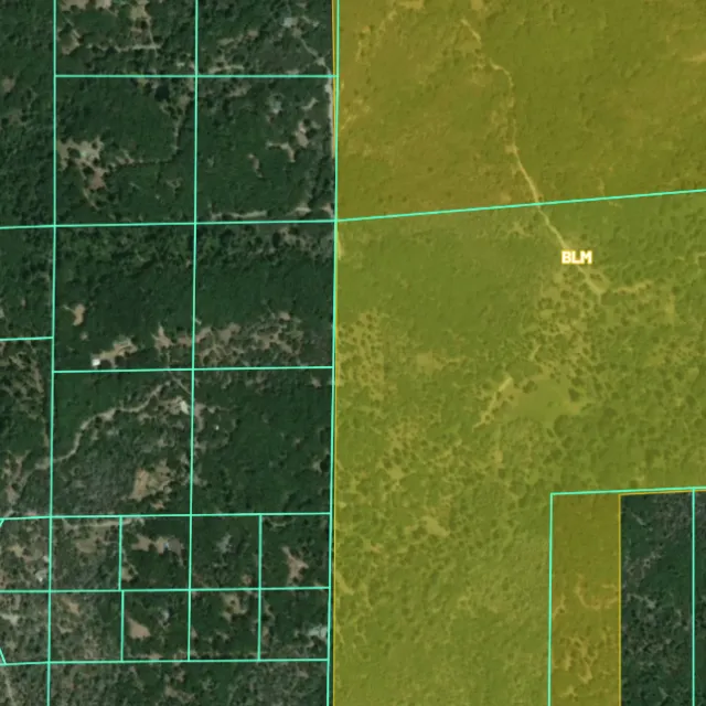
Land ownership

Public vs private.
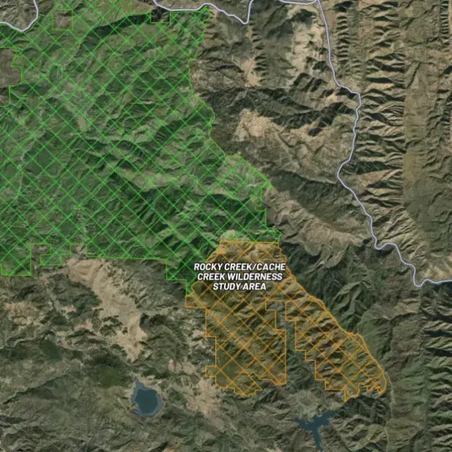
Protected areas

Off-limits ground.

02Where's the gold?

Go where the data points.

Prospectivity, scored

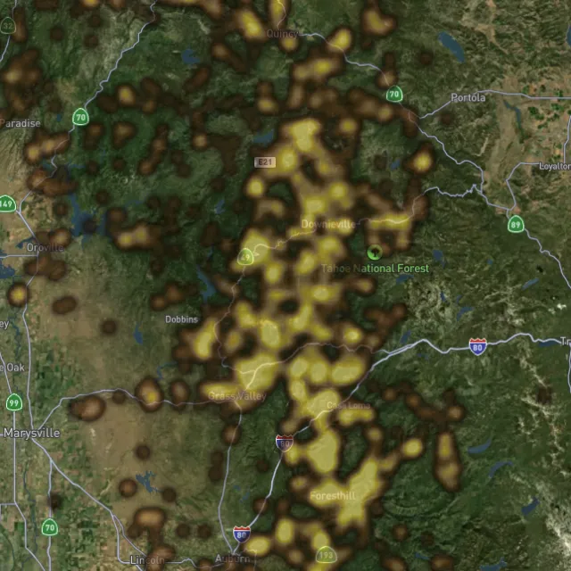
Placer and lode heatmaps built from decades of occurrences, geochemistry and geology — read the hottest ground first, then ground-truth it.
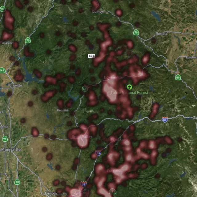
Lode heatmap

Reef prospectivity.
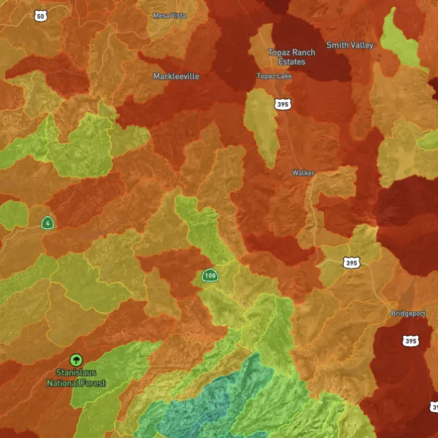
Prospectivity index

Catchments ranked.
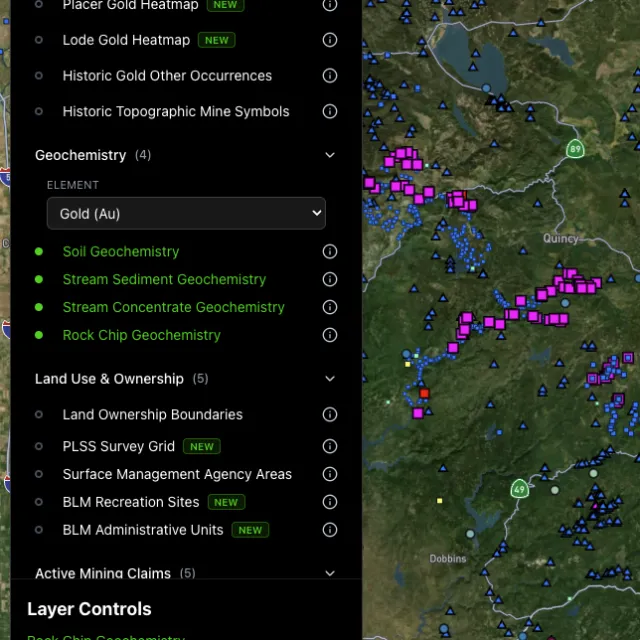
Surface geochem

Soil, stream, pathfinders.
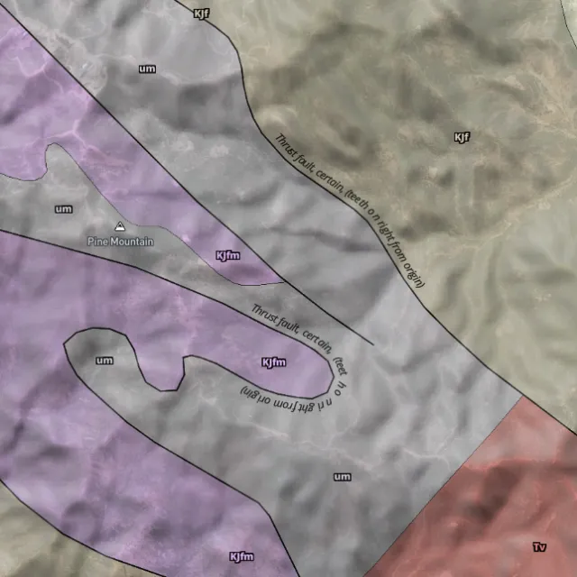
Bedrock geology

Read the host rocks.

03The edge

See the ground the brush hides.

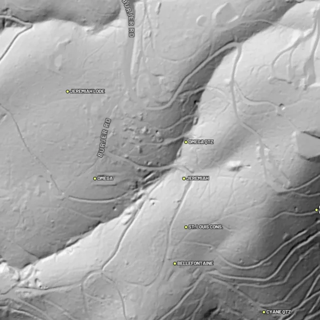
1-metre bare-earth LiDAR

Strip away the canopy and old workings, benches and water-races jump out — rendered from any light angle, tinted by slope or elevation.
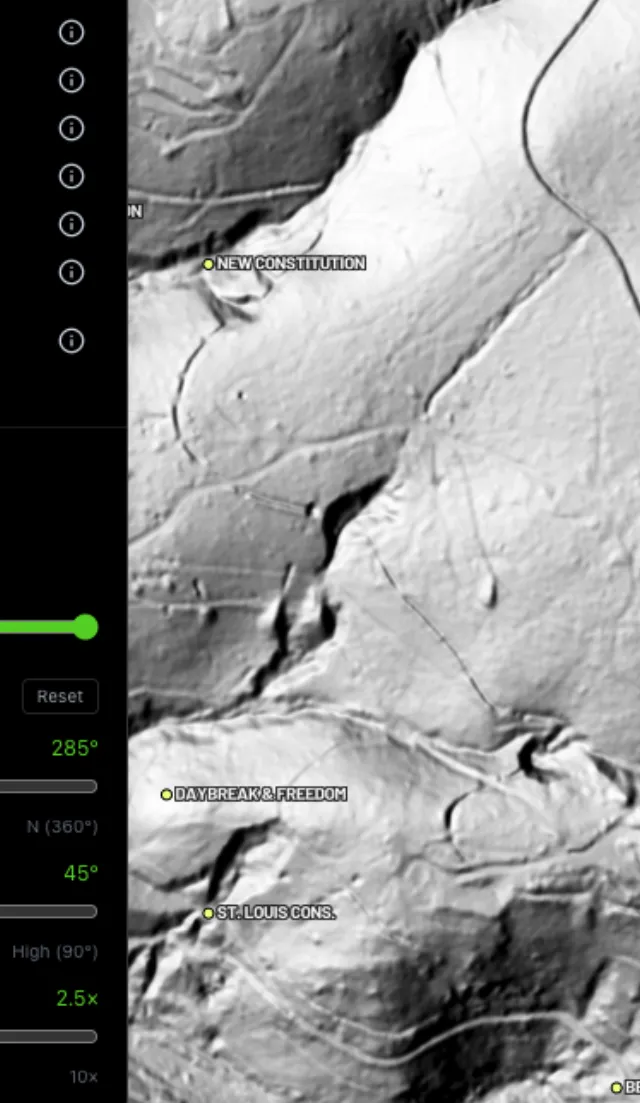
Hillshade renders

Light it any way.
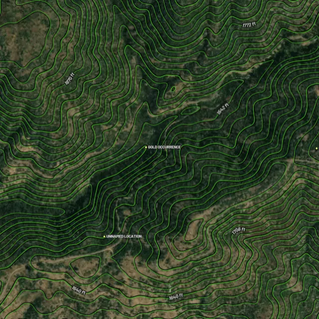
Contours

Read the gradient.
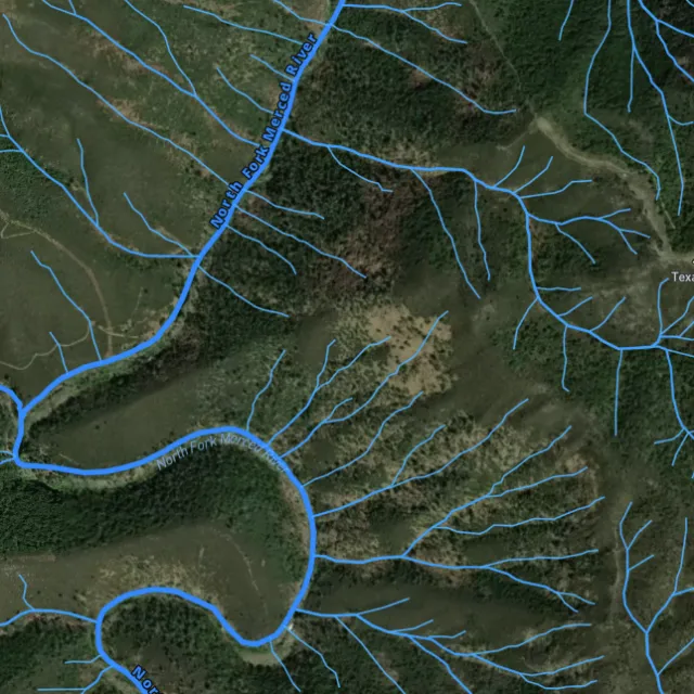
Watercourses

Where placer runs.
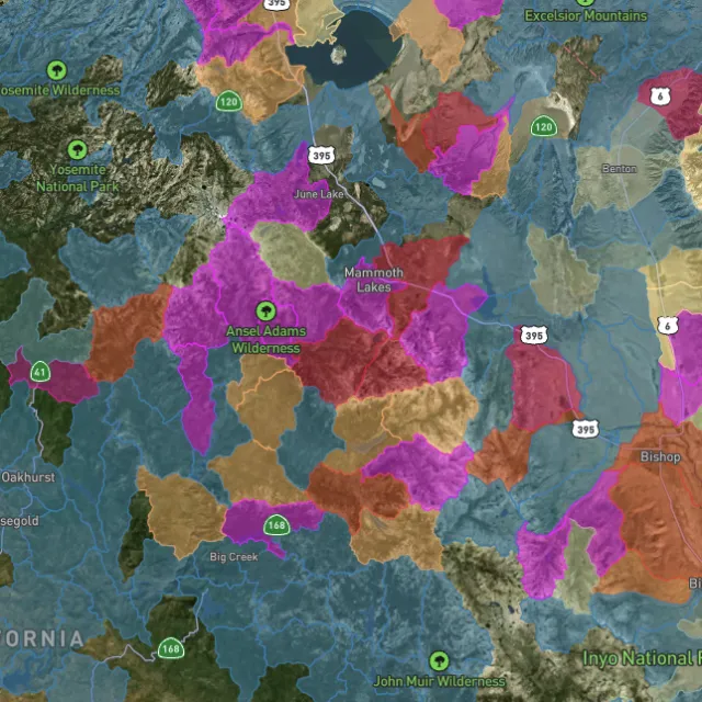
Catchment index

Whole gullies scored.

04Stay legal

Know it's open before you swing.

Public, private, or off-limits

Surface-management agencies, land ownership, the PLSS grid and the roads to reach them — prospect legal, accessible public ground. A guide, not legal advice.
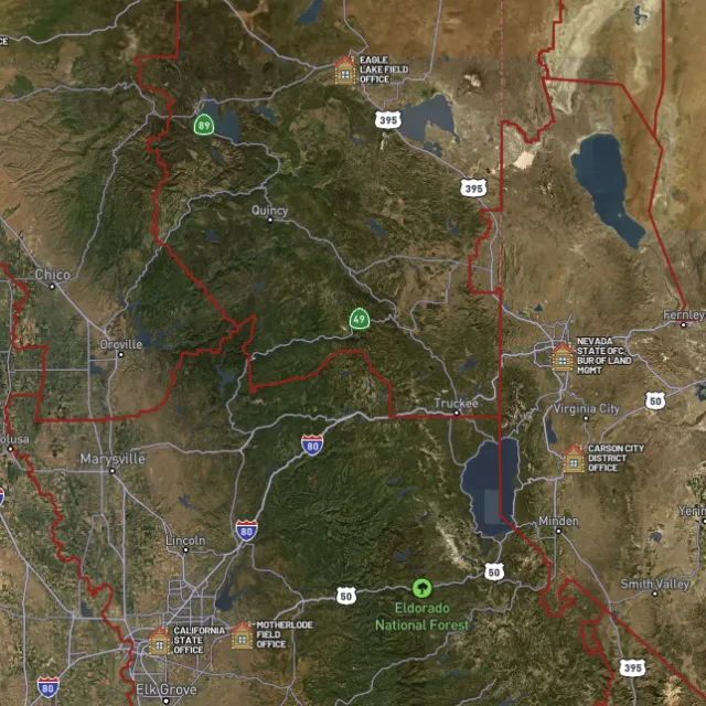
BLM land

Managed public ground.
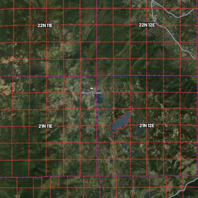
PLSS sections

Township / range / section.
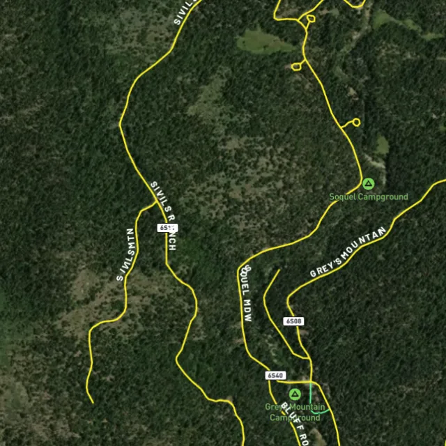
MVUM roads

What you can drive.

Protected areas

Avoid these.

Stop guessing. Start finding.

Every claim, every layer, every gold-bearing state — on one map you can take off-grid.

Start free trial

3-day free trial · Nothing charged until it ends · Cancel anytime

South Carolina FAQ

Your South Carolina gold questions, answered.

If yours isn’t here, email [email protected] — we read every one.

Start free for 3 days on any yearly plan — nothing charged until the trial ends.

Yes. Gold has been found across South Carolina’s Carolina slate belt, a mineralized arc running through the Piedmont from the Savannah River up toward the North Carolina line. The Haile mine near the town of Kershaw in Lancaster County is one of the most significant gold deposits in the eastern United States and has a gold-production history spanning well over a century. Other historic activity centered on Lancaster, Chesterfield, Kershaw, McCormick, and Union counties.

South Carolina’s documented gold ground tracks the Carolina slate belt through the central Piedmont, with recorded occurrences in Lancaster, Chesterfield, Kershaw, McCormick, and Union counties. A major caveat: much of this belt is privately owned, including active and historic mine ground, so always secure landowner permission before prospecting and verify there are no valid mining claims. Detector Maps shows MRDS gold occurrences, geology, and public-land boundaries so you can focus on accessible, mineralized ground rather than guessing.

South Carolina has relatively little federal public land, so most prospecting happens on private property, where you need the owner’s permission and any terms they set. On any federal land, check current claim status through the BLM (LR2000/MLRS) before working an area, since a valid existing claim gives the holder rights to the minerals. Rules for activities like digging, dredging, or working on state-managed land vary, so confirm current requirements with the South Carolina Department of Natural Resources and the relevant land manager before you start.

Recreational gold panning and metal detecting are generally allowed on open public land where no valid mining claim exists and you follow the managing agency’s rules, but in South Carolina most goldfields sit on private land where you must have the owner’s permission first. State parks, wildlife management areas, and historic sites commonly restrict or prohibit digging and detecting, so check each site’s specific rules before you go. When in doubt, confirm current claim status with the BLM and the applicable panning or detecting rules with the South Carolina Department of Natural Resources and the local land manager.

Detector Maps overlays the data that matters for South Carolina prospecting: MRDS gold and mineral occurrences from the USGS, bedrock geology so you can trace the Carolina slate belt, surface geochemistry, and public-land boundaries so you can tell BLM and USFS ground from private property. It also shows BLM active mining claims, roads and access, contours, and watercourses, and you can georeference your own maps, save areas for fully offline use, and browse community maps. Together these layers help you target proven, accessible ground and avoid trespassing on private or claimed land.