Detector Maps
Start free for 3 days on any yearly plan — nothing charged until the trial ends.
Open the mapArizona · Gold Maps
From the Bradshaw lodes to the Potato Patch on Rich Hill, Arizona's gold sits in waterless washes and behind 55,000+ active claims. See the claim lines, the BLM-vs-reservation boundaries, and the USGS occurrences on one map — so your dry-washer runs over open, legal, gold-bearing ground instead of someone else's stakes.
Start Free TrialThe dry-placer state. Arizona is the headline desert-prospecting destination in the US: most of its gold moves not in running creeks but in dry washes, reworked by flash floods and recovered with a dry-washer rather than a pan. That single fact reframes every layer on this page — drainages and contours matter more than rivers, and "where the water used to run" is the question.
The Bradshaw Mountains core (Yavapai County). The heart of Arizona's historic gold. Lynx Creek — first gold strike in the range, 1863, one of the richest placer creeks in the state — plus the Hassayampa–Groom Creek, Big Bug, and Walker districts south of Prescott. Mixed placer-and-lode country: quartz fissure veins in schist eroding down into the washes below. Hassayampa-Groom Creek production cited around 127,000 oz through 1959 (placer + lode).
Rich Hill & the Weaver/La Paz district (Yavapai/La Paz). The legendary Potato Patch atop Rich Hill — 1863, where Weaver's party reportedly picked nuggets "the size of potatoes" off the surface — and Arizona's richest placer ground. Note the access complication: much La Paz/Weaver ground abuts the Colorado River Indian Reservation and military land — a perfect case for the ownership layers.

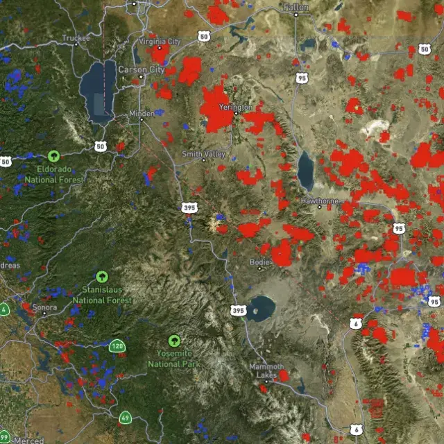
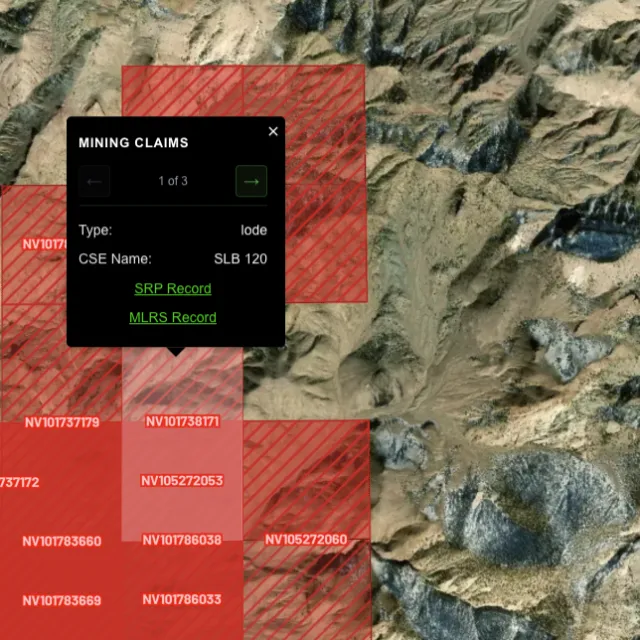
Active placer and lode claims on federal land, styled apart and linked to the official BLM record — so you know what's open before you drive.
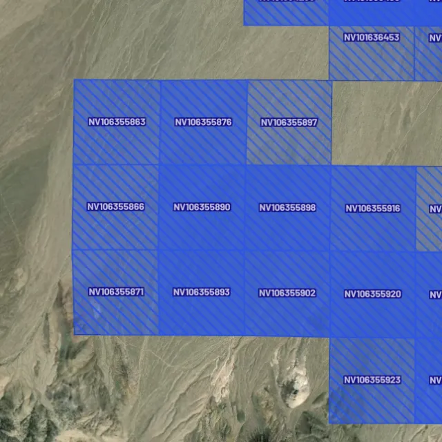
Alluvial-gold claims.

Hard-rock claims.

Public vs private.

Off-limits ground.

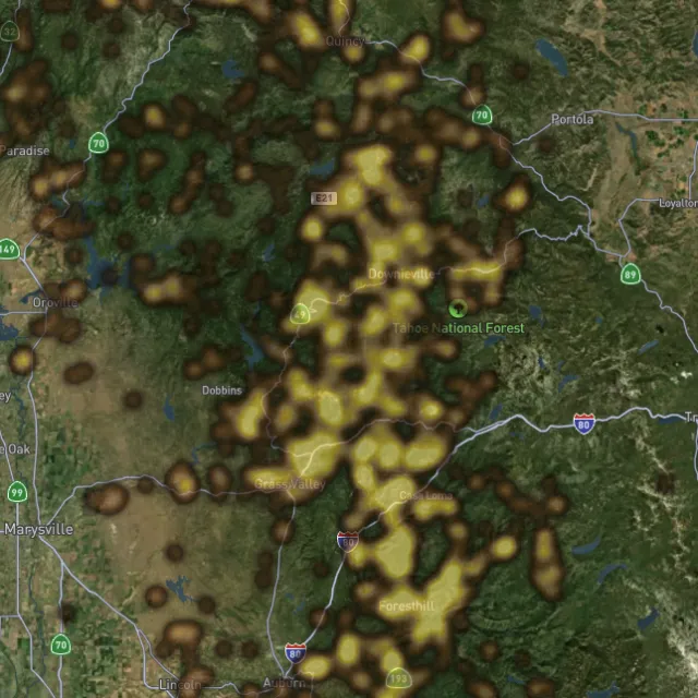
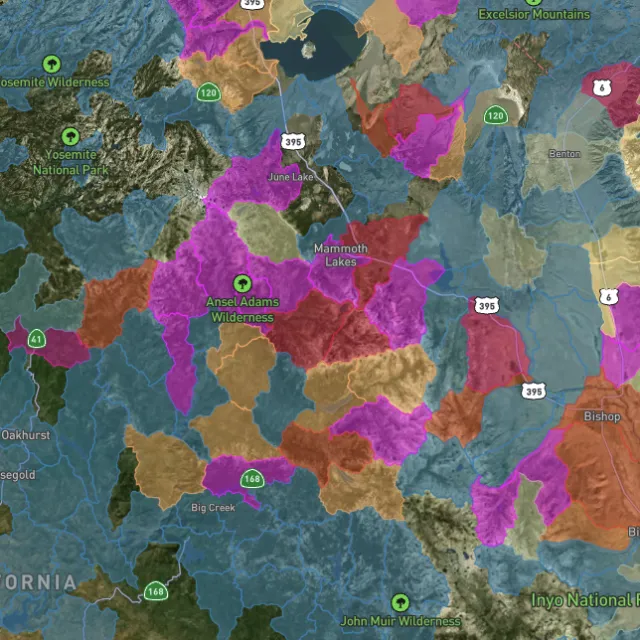
Placer and lode heatmaps built from decades of occurrences, geochemistry and geology — read the hottest ground first, then ground-truth it.
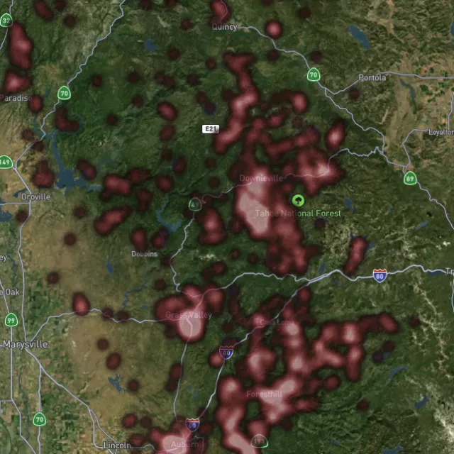
Reef prospectivity.

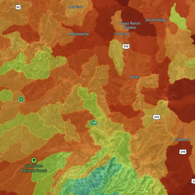
Catchments ranked.

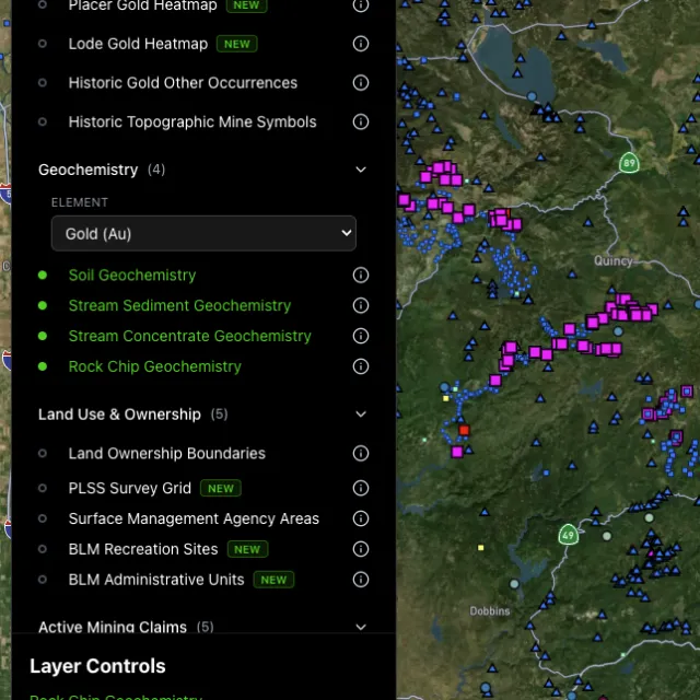
Soil, stream, pathfinders.

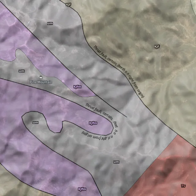
Read the host rocks.

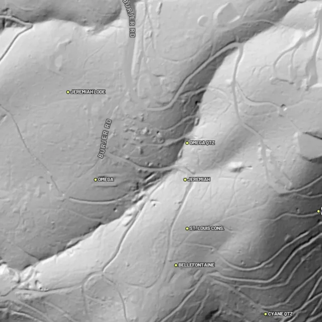
Strip away the canopy and old workings, benches and water-races jump out — rendered from any light angle, tinted by slope or elevation.
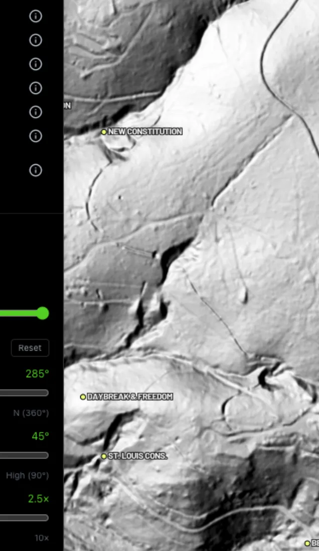
Light it any way.

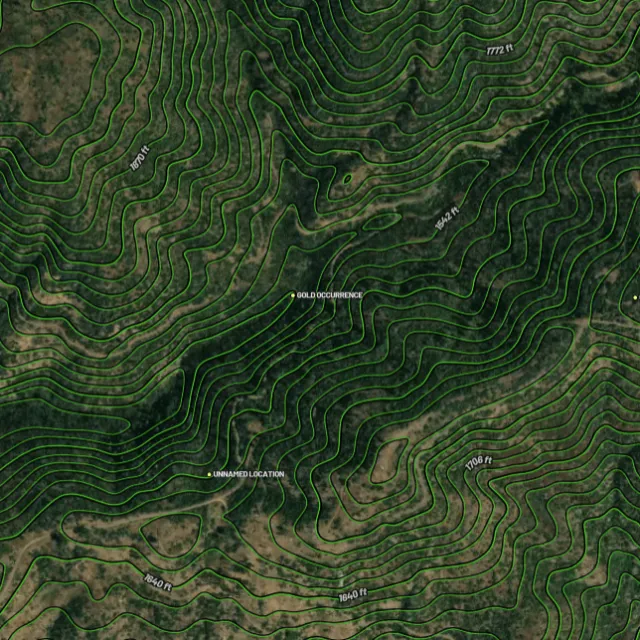
Read the gradient.

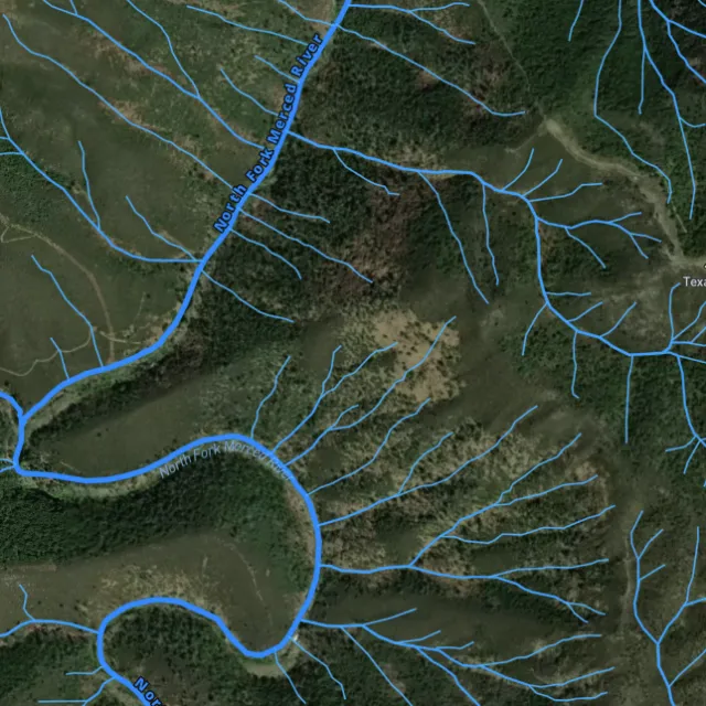
Where placer runs.

Whole gullies scored.

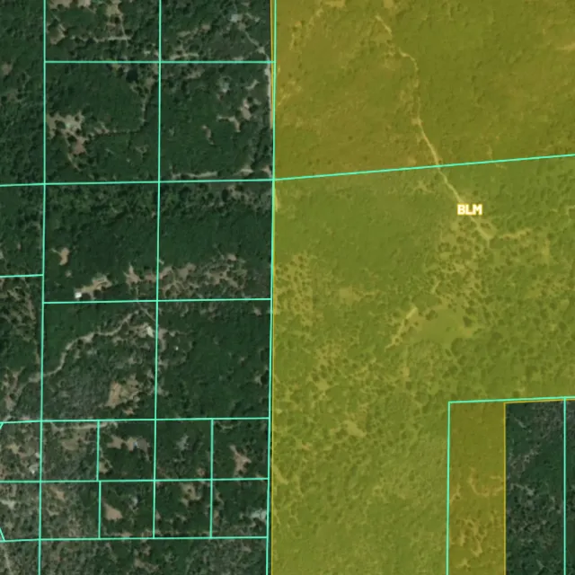
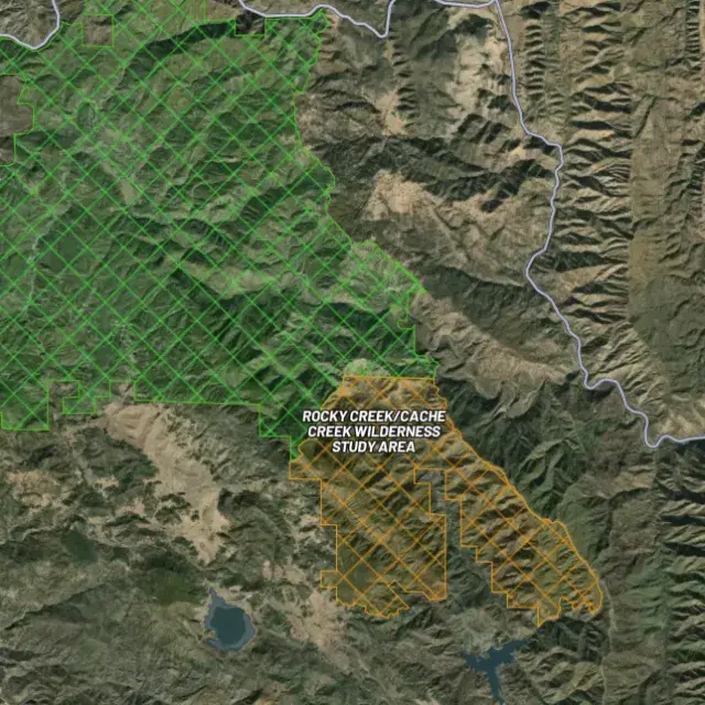
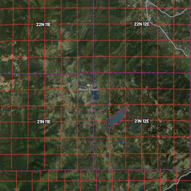
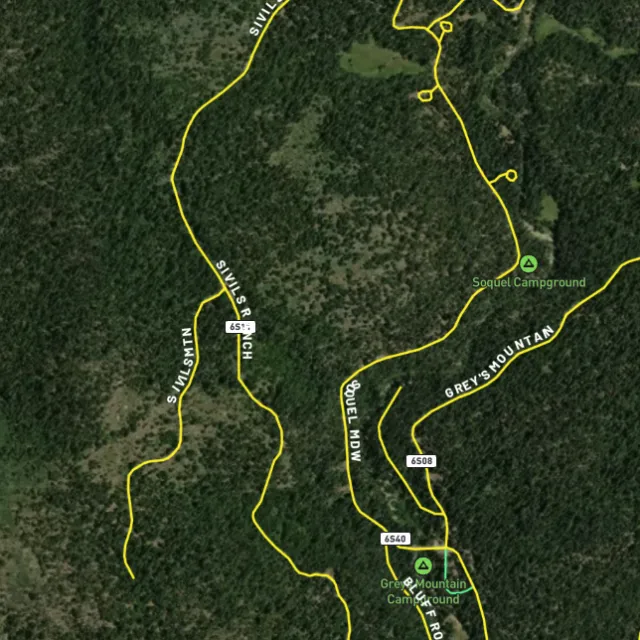
Surface-management agencies, land ownership, the PLSS grid and the roads to reach them — prospect legal, accessible public ground. A guide, not legal advice.
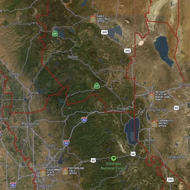
Managed public ground.

Township / range / section.

What you can drive.

Avoid these.
Every claim, every layer, every gold-bearing state — on one map you can take off-grid.
3-day free trial · Nothing charged until it ends · Cancel anytime
Arizona FAQ
If yours isn’t here, email [email protected] — we read every one.
Start free for 3 days on any yearly plan — nothing charged until the trial ends.
Yes. Arizona has a long, well-documented gold history, with both lode and desert placer gold found across the state. Productive historic districts include the Bradshaw Mountains and Lynx Creek near Prescott, the Vulture Mine near Wickenburg, the Rich Hill / Weaver district, and the Dome / Gila placers near Yuma. These are proven goldfields where gold has been recovered for well over a century.
Arizona has vast tracts of BLM and Forest Service land, much of it in historically gold-bearing country like the Bradshaws, the Weaver/Rich Hill area, and the desert placers around Wickenburg and the lower Gila and Hassayampa drainages. The Lynx Creek area near Prescott has historically been a popular recreational prospecting spot. Before you dig anywhere, confirm the ground isn’t covered by a valid existing mining claim, since much of the best-known gold land is actively claimed; check current BLM claim status and local rules first.
For casual recreational prospecting (panning, sluicing, hand tools) on open public land where no valid claim exists, you generally don’t need to stake a claim. To hold the rights to a specific deposit, or to use mechanized or larger-scale equipment, you typically need to locate a mining claim through the BLM and may need additional authorization. Always check current claim status via the BLM (MLRS/LR2000) and confirm current requirements with the BLM field office, the Forest Service, and the Arizona State Land Department or relevant land manager before working an area. [VERIFY]
Recreational gold panning and metal detecting are generally allowed on open BLM and Forest Service public land in Arizona where no valid claim exists and you follow the land manager’s rules. Rules differ on state trust land, in wilderness areas, and on private property, so access and methods aren’t universal. Confirm current claim status and the specific rules for your spot with the BLM, the Forest Service, or the Arizona State Land Department before you go. [VERIFY]
Detector Maps overlays Arizona’s gold country with the data that matters: active BLM mining claims so you can see what’s already taken, BLM and USFS public-land boundaries, and MRDS gold and mineral occurrences from the USGS that pinpoint documented workings like those around the Bradshaws, Vulture, and the desert placers. You also get USGS bedrock geology, surface geochemistry, roads and access, contours, and watercourses to read the ground. You can georeference your own maps, download regions for fully-offline use, browse community maps, and (on Pro) get daily claim-drop alerts when ground opens up.
Prospect smarter, not harder. .
Trip reports, layer updates, the occasional gold-find email. No spam.
© 2026 Gold Discovery Solutions Pty Ltd